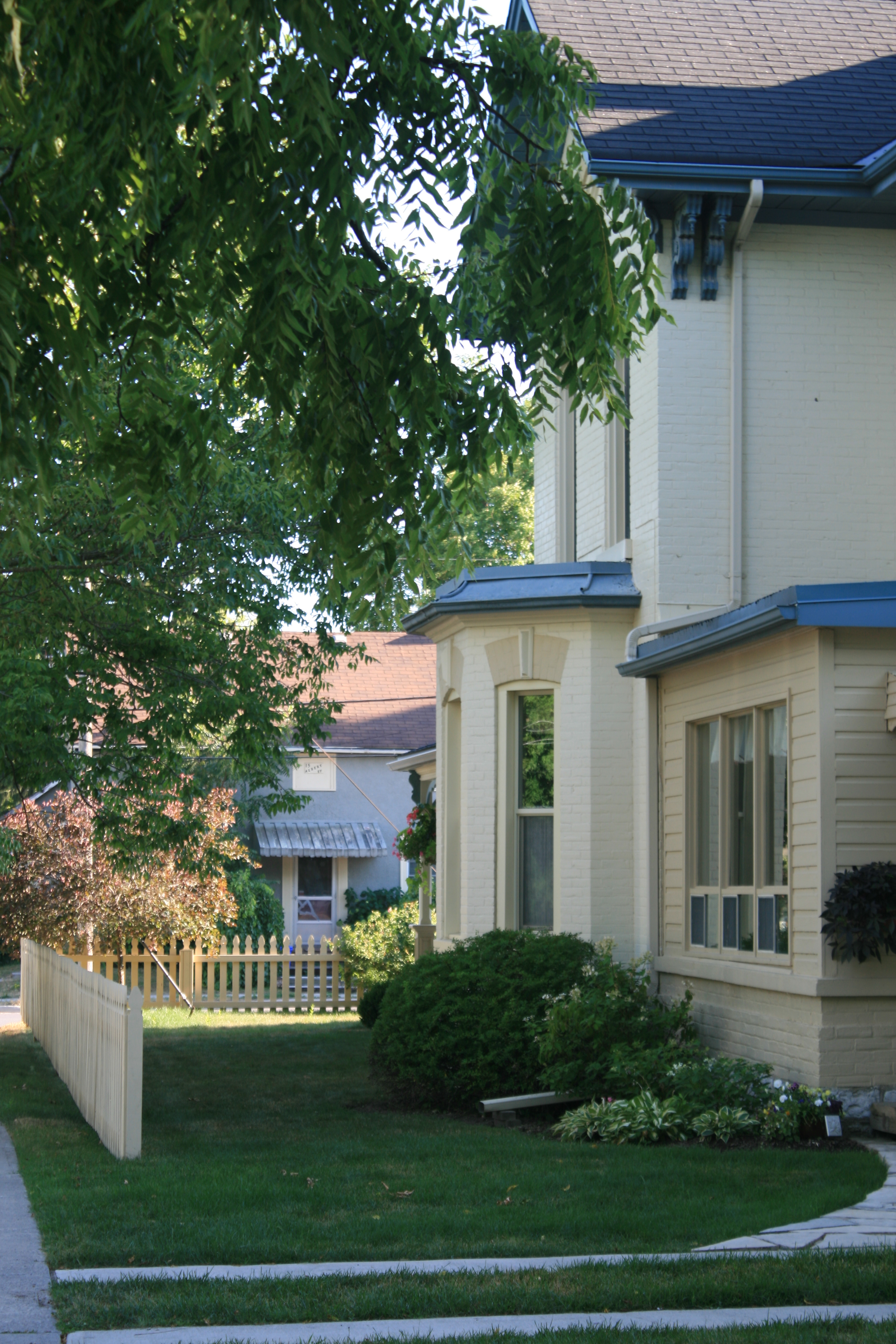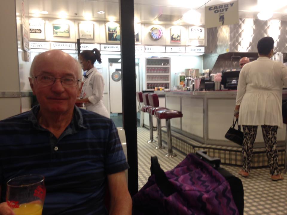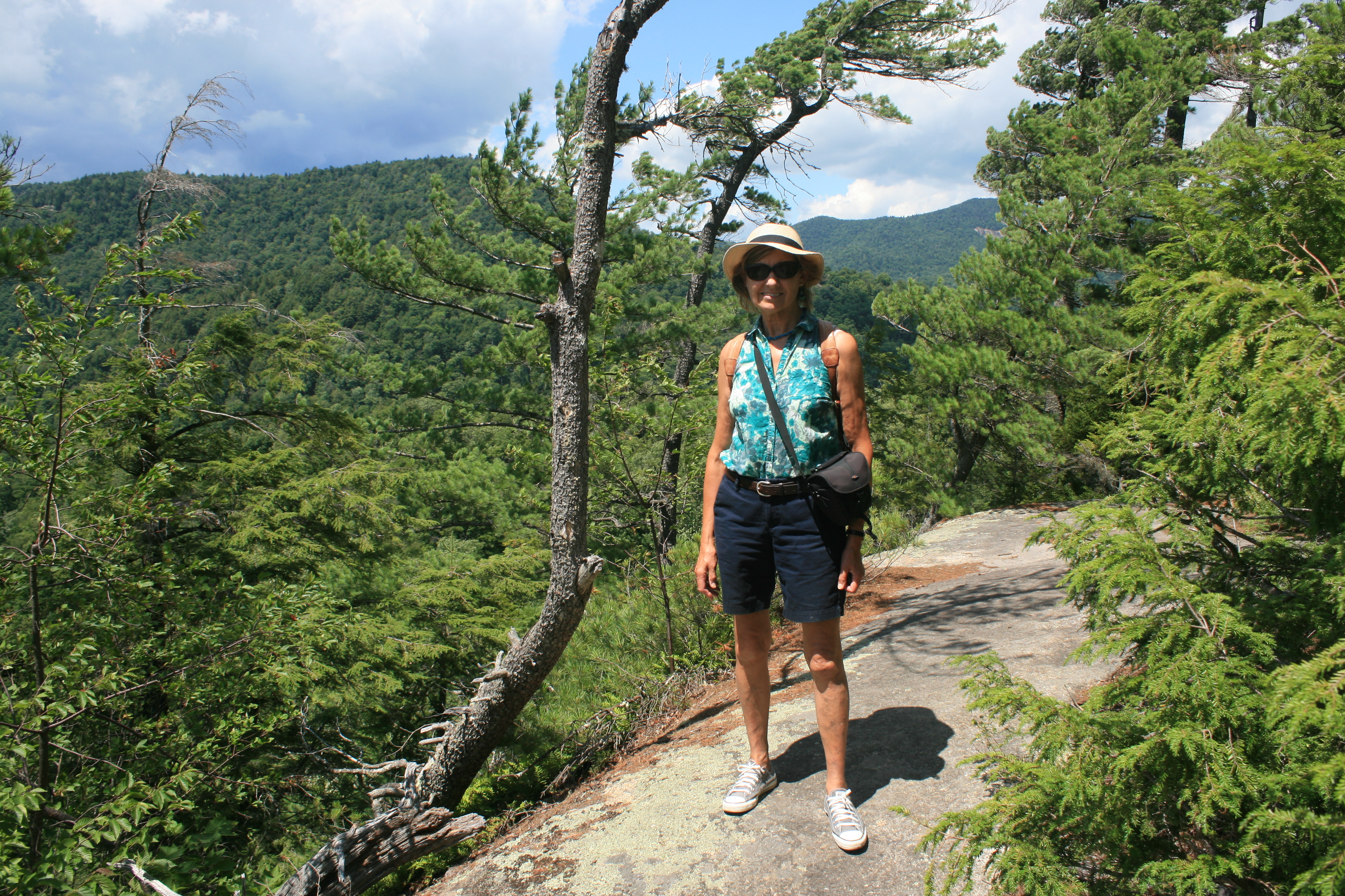

Tears may be an exaggeration, but the preparations for going away for 3 months at a time don’t seem to get any easier.
Practice should make one a bit better at it, and in some ways it does. By Tuesday night I had everything packed, and all essential tasks ticked off, ready for a Thursday morning departure from Newcastle. This was unprecedented, and my inner auto-pilot was out of range.
A nagging doubt was that I might have forgotten to put some essential task on the list in the first place. There are more jobs in the ‘must-be-done’ category when you’re away for 3 months than for a short break. Coming home after a week to find old bread still in the pancheon is mildly unpleasant, but after 3 months there would be significant growth of live organisms. Plants which can be safely left for a week or fortnight have to be regrouped, told to behave themselves and instructions given to one’s friends who very kindly look after them in your absence.
With a whole day to go, jobs that were desirable, but non-essential, suddenly became imperative. The main one of these was making the second of two new cushions for Carina. But Summer had briefly appeared in north-east England, so the choice between suddenly-urgent gardening (outdoors, in the balmy sunshine) and sewing (indoors) was easy. The cushion could wait till after tea.
But an important boy-job which had been left undone for a while, that of making a bonfire of a large quantity of garden prunings which had accumulated over many months, had been abandoned by Ian, in favour of Wednesday evening sailing at Tynemouth. In short, cushion-making commenced at 10.30pm, after I had done the Girl Guide thing with the bonfire and made dinner.
On the penultimate seam, I contrived to sew through my left thumb, a contributory factor being the use of a zipper foot on my machine. In my rush to the bathroom to staunch the flow of blood, my foot caught in the flex and my 40-year-old Pfaff Tipmatic crashed dramatically to the floor, the removable parts detaching themselves, scattering spools, needles, sewing feet, bobbins and so on all over the carpet. Hearing my cries, Ian pointed out that there were splats of blood not only on the cushion fabric, but on the nearby wallpaper too, but my distress was focussed on the possibility that my trusty machine, which had made most of the curtains in the house, might be irreparably damaged, and that I wouldn’t get Carina’s cushion finished.
Miraculously, Ian reassembled the sewing machine and it still ‘went’. He got the blood off the wallpaper and a combination of Vanish and cold water sorted out the cushion cover.
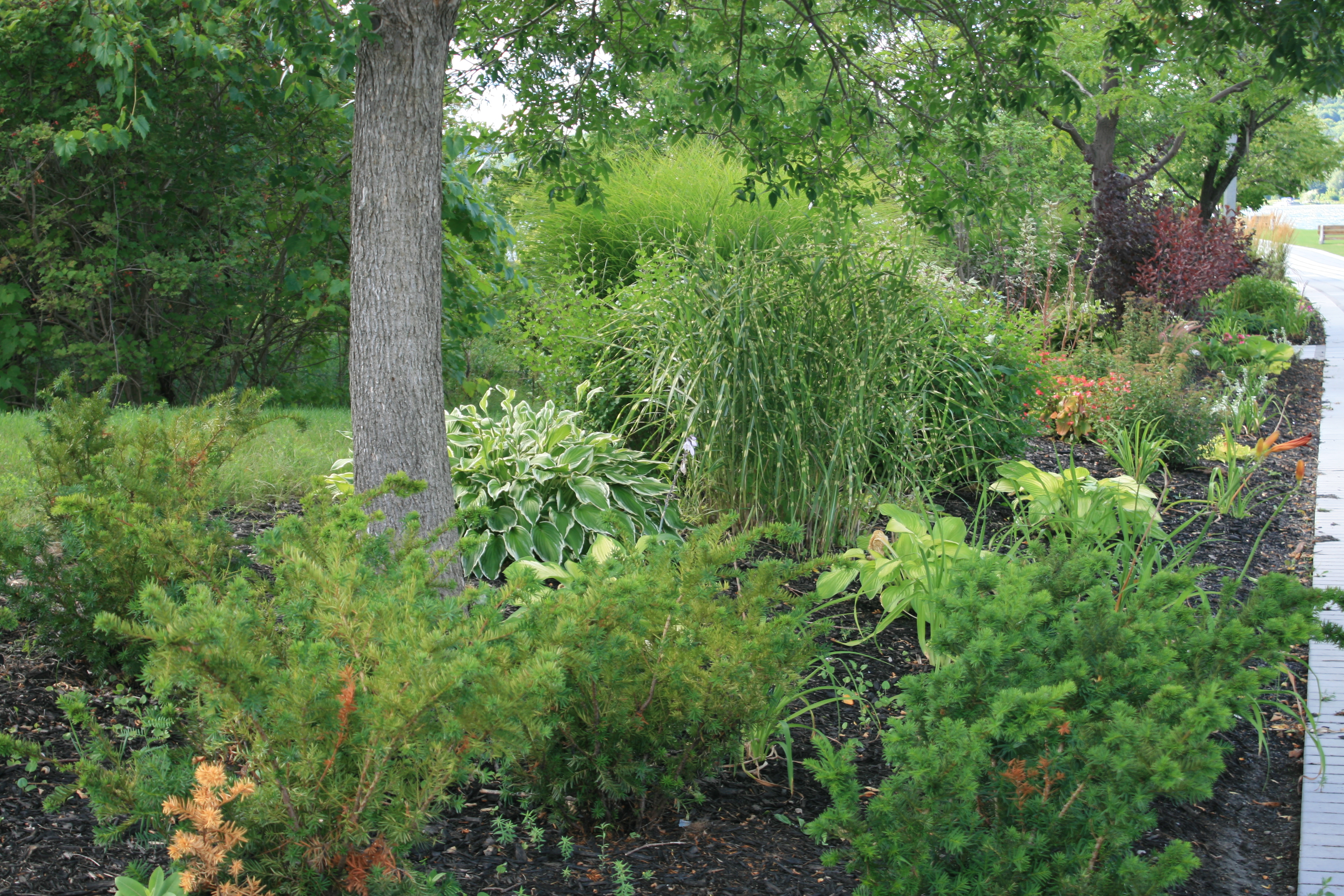
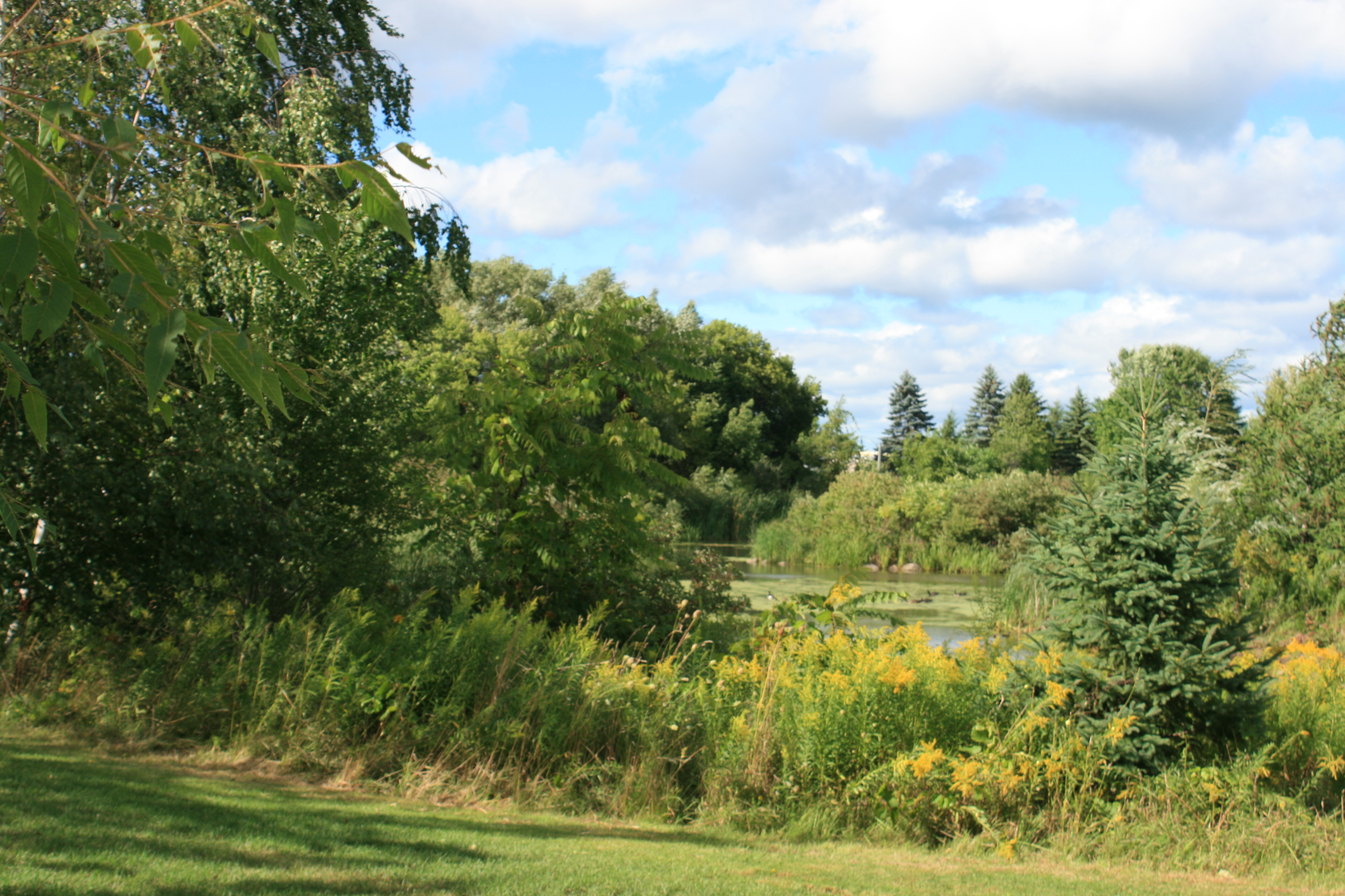
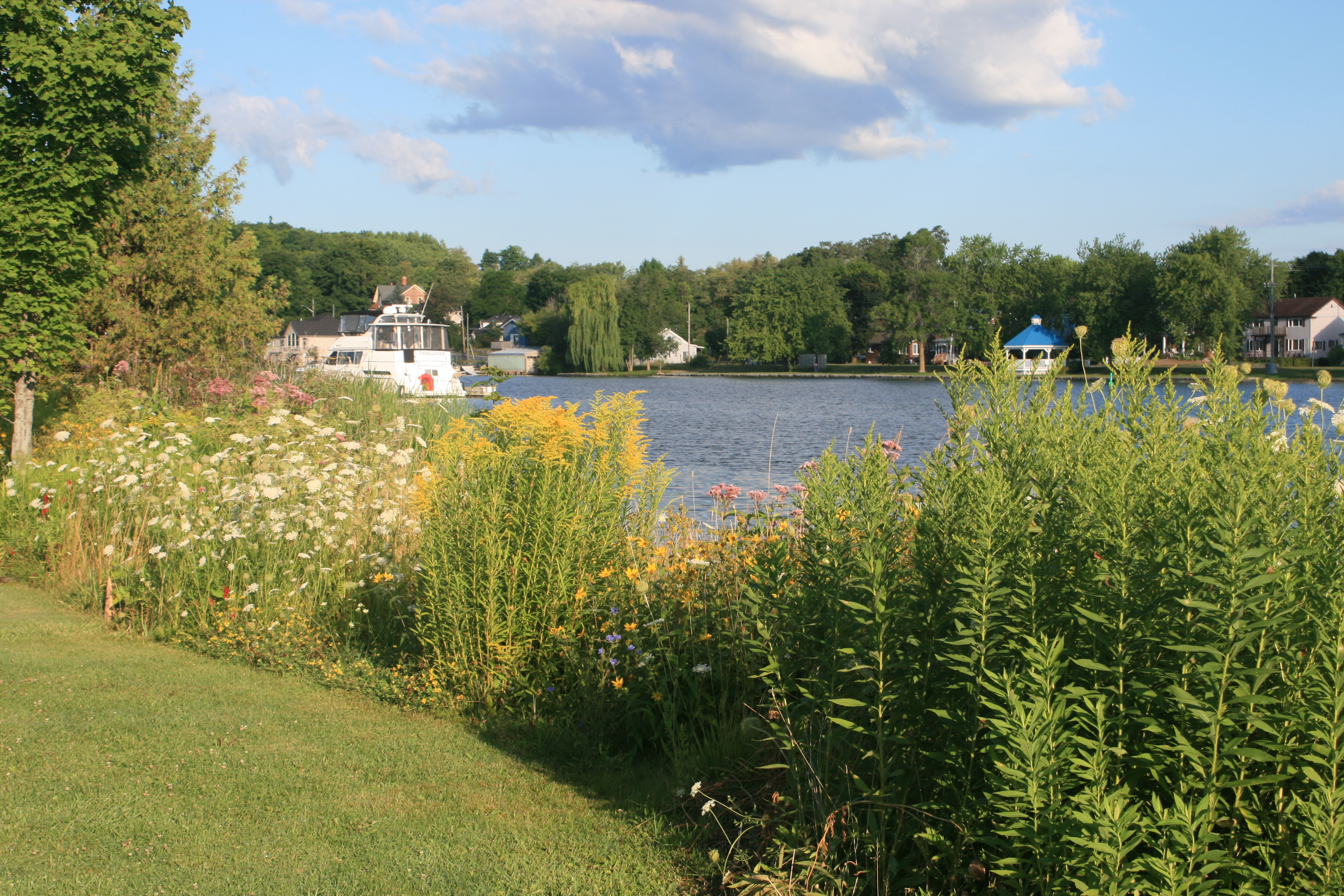
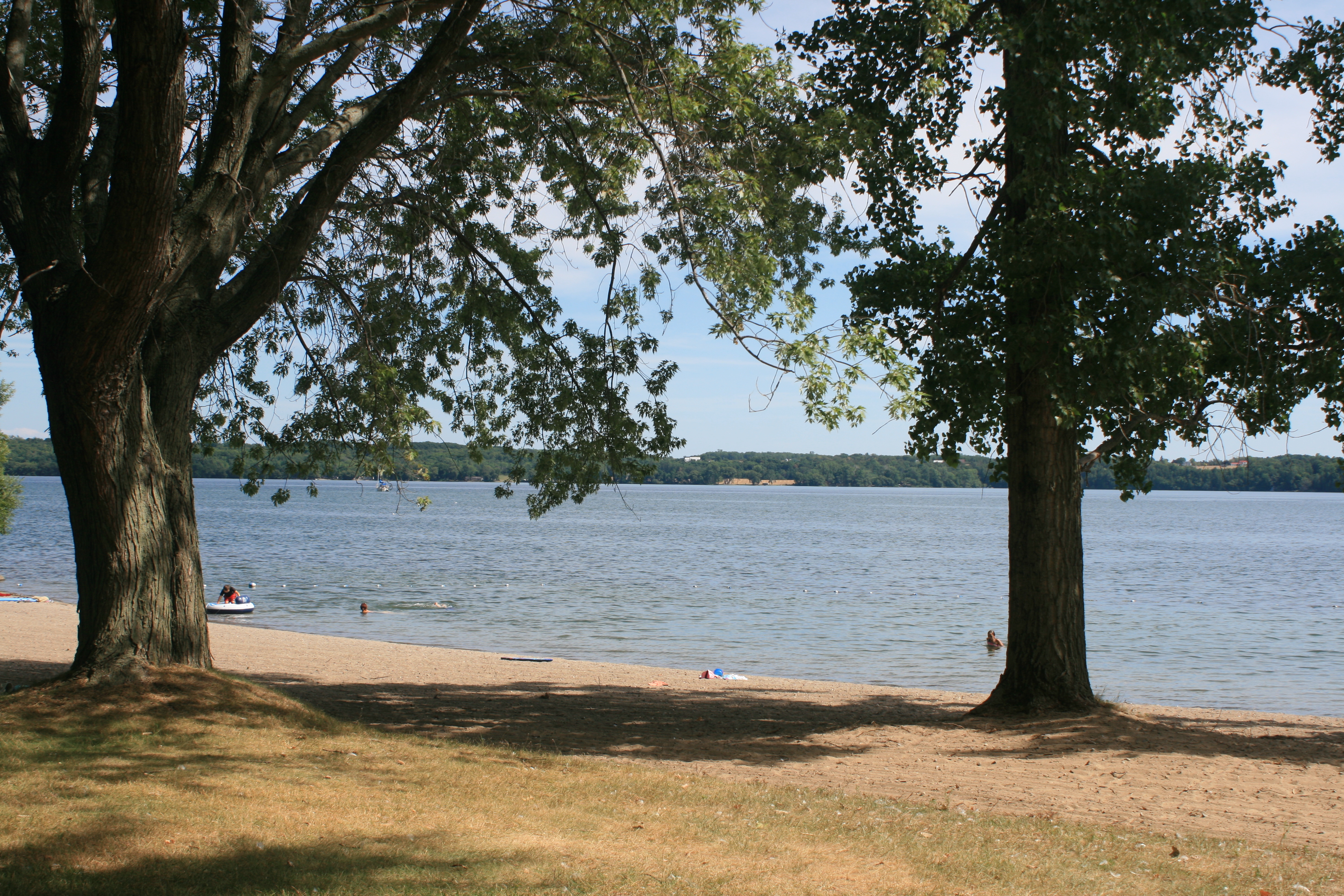
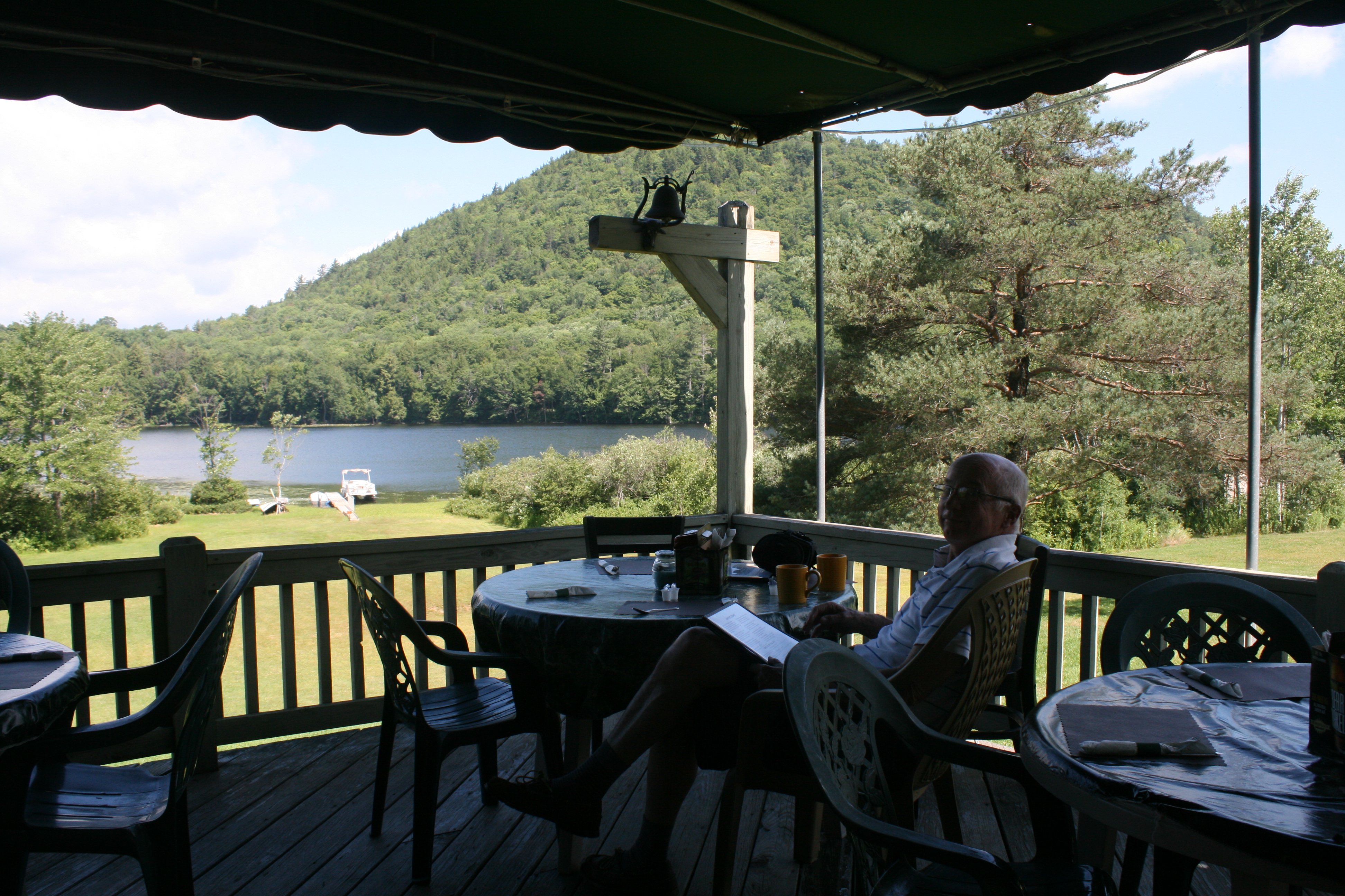
Before the taxi came the next morning, I had time to refresh my mind by a stroll amidst the flowers in the back garden.

Geums and forget-me-nots
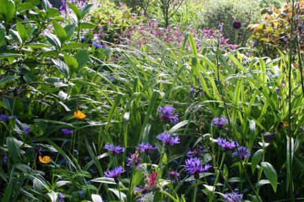
Cornflowers, Welsh poppies and hardy geraniums
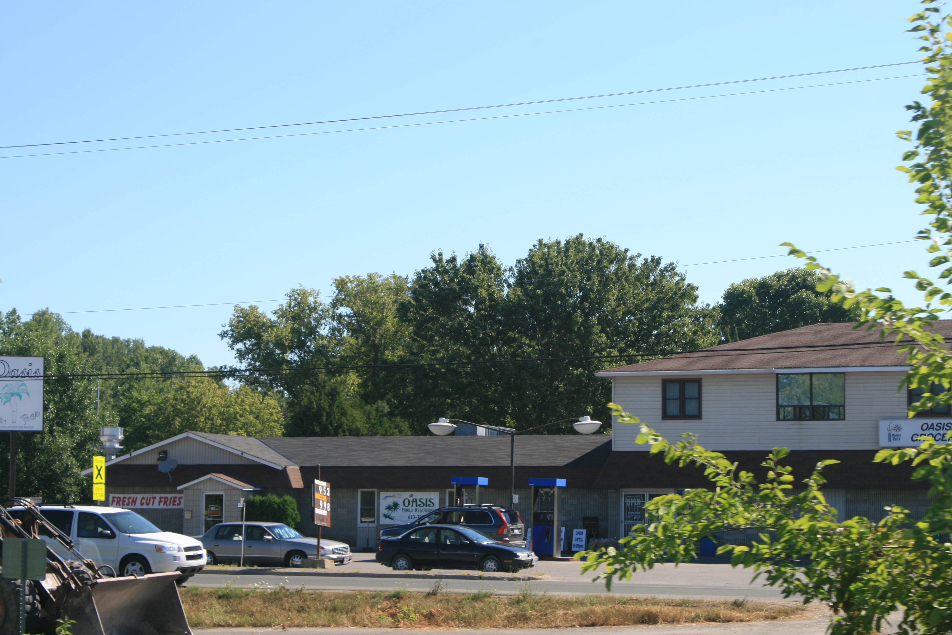
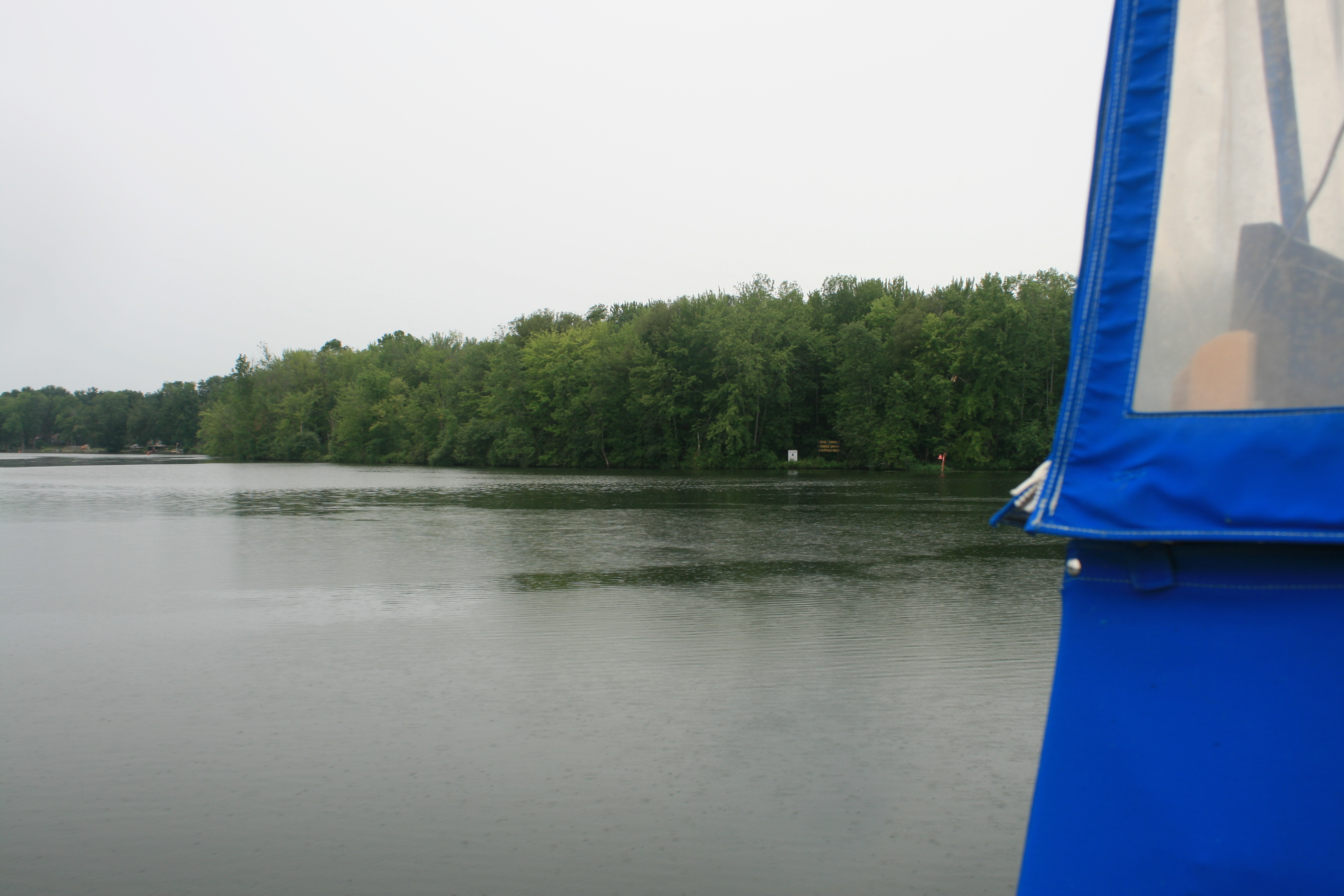
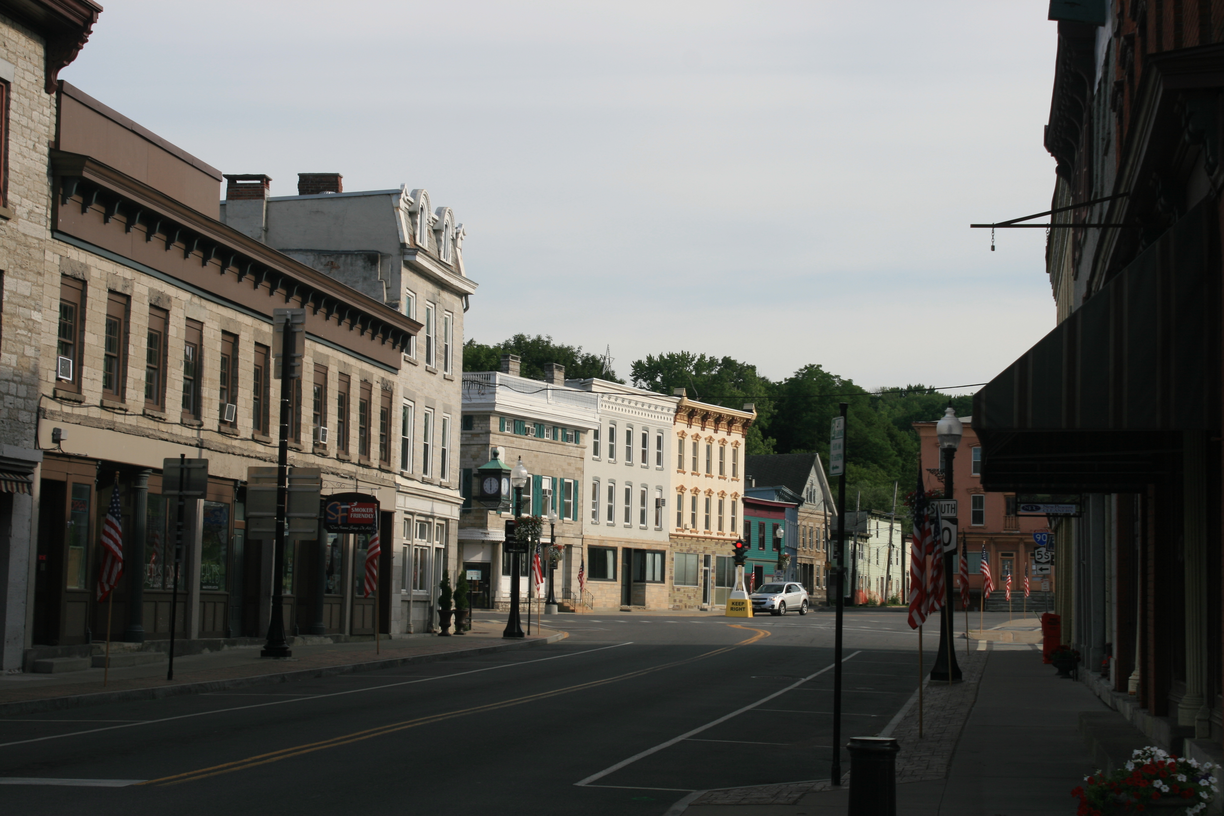
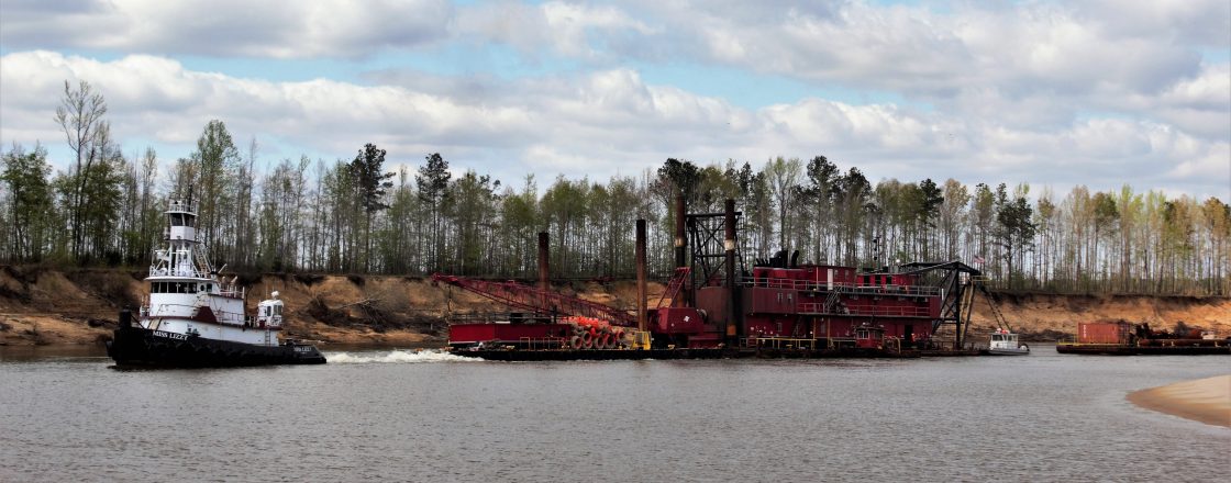
We missed the Great British Airways Computer Fiasco by a day, and arrived in Toronto uneventfully. But rain and cloudy, cold skies, made a sad contrast to Newcastle.
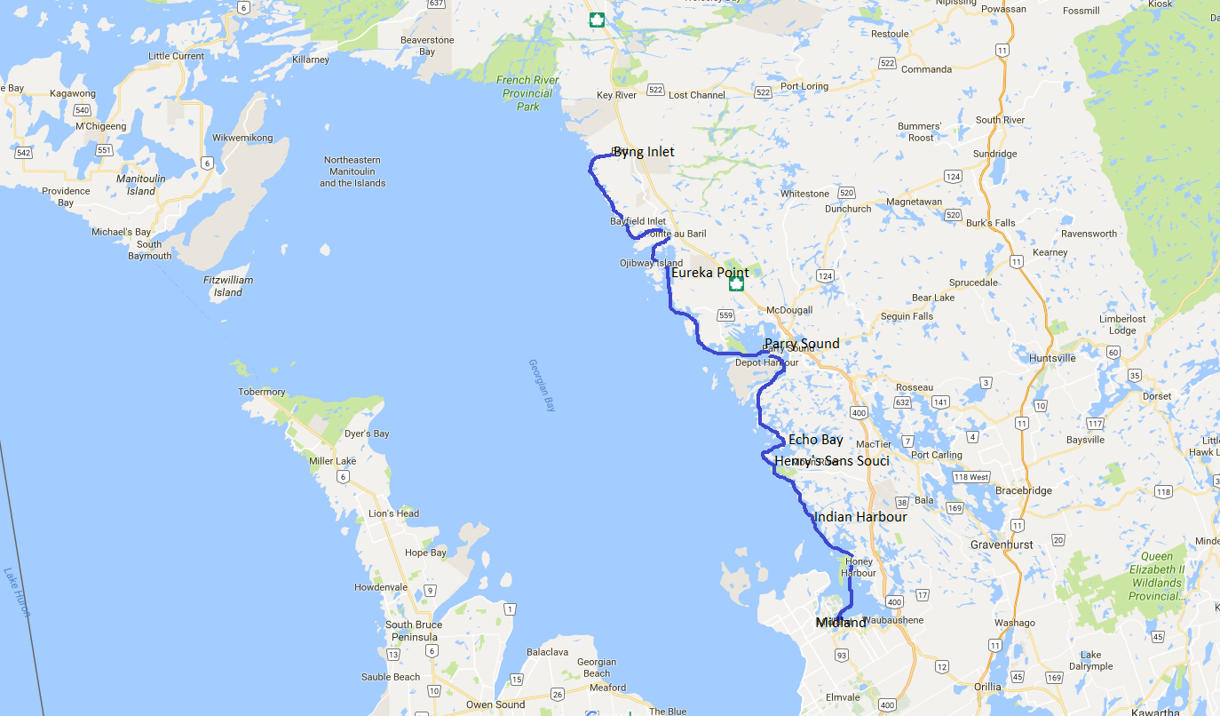
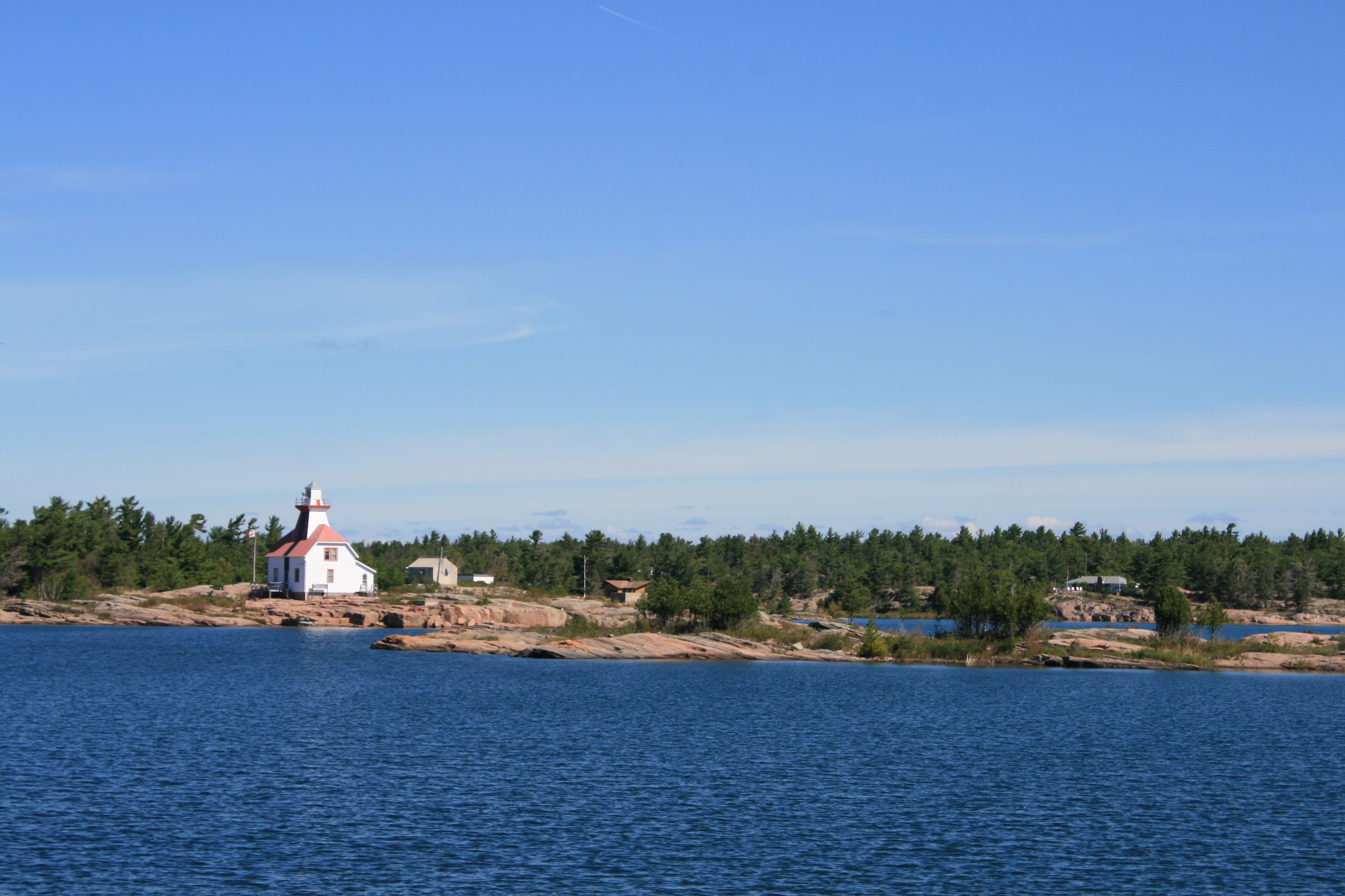
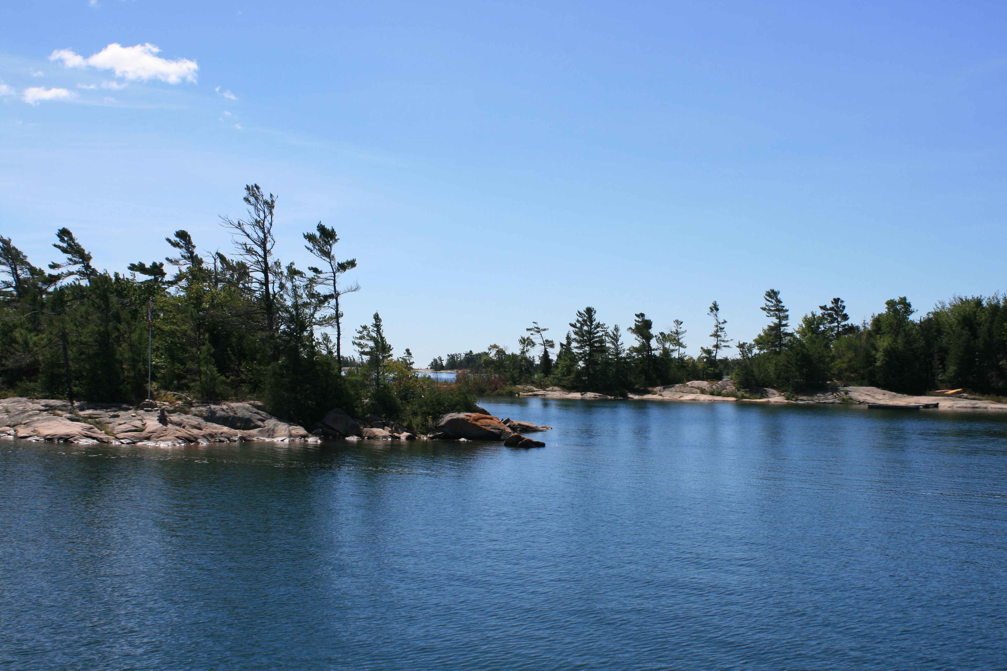
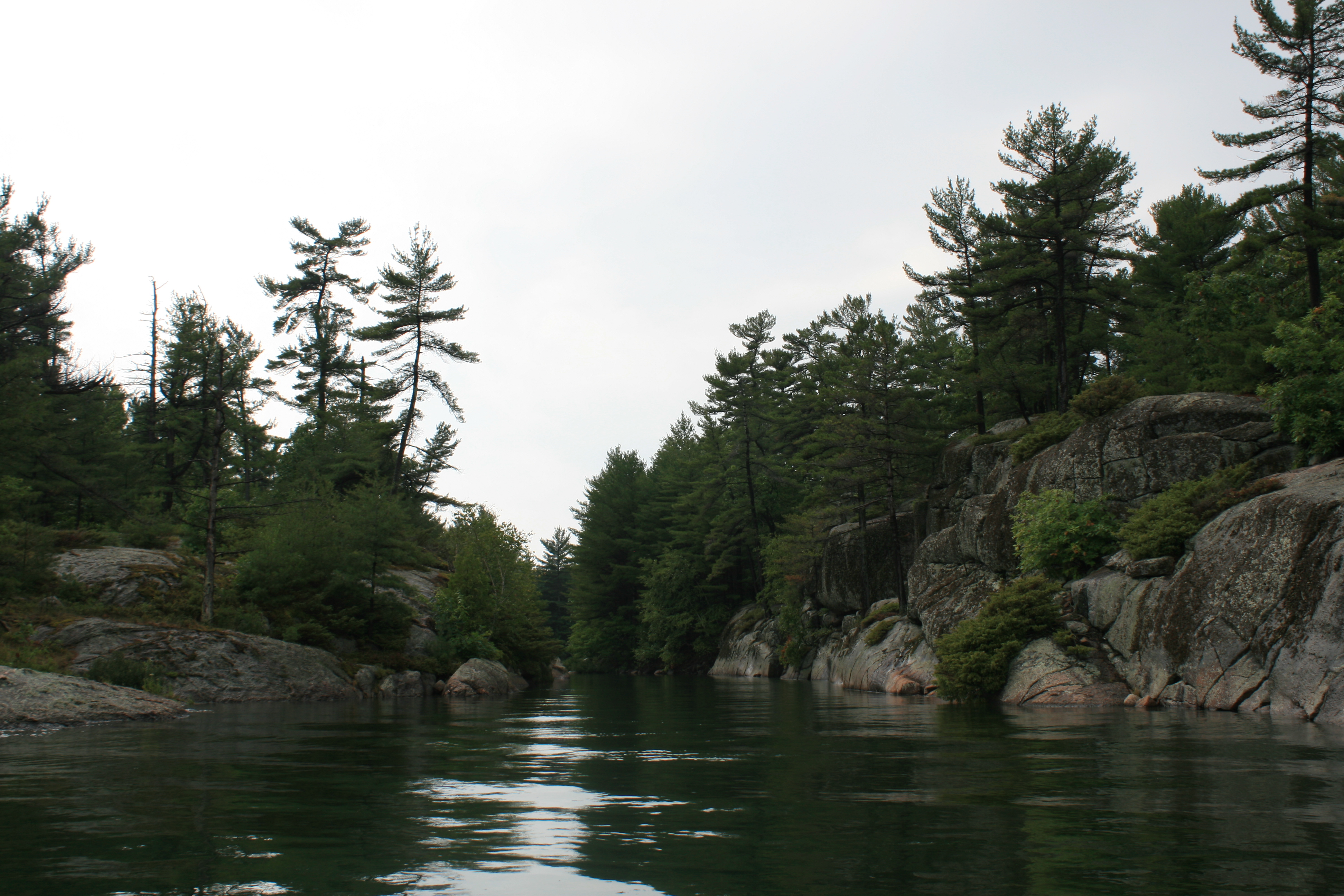
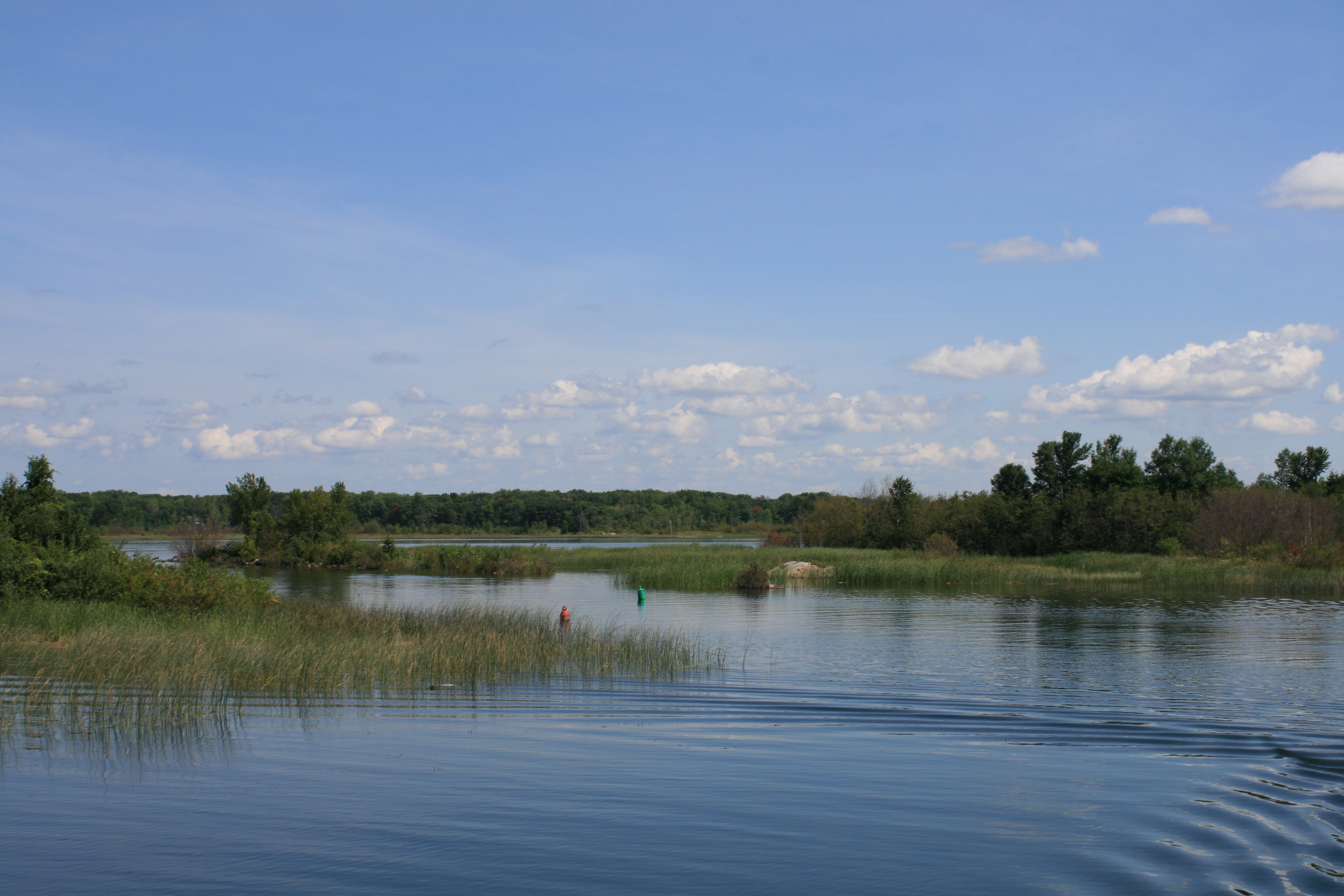
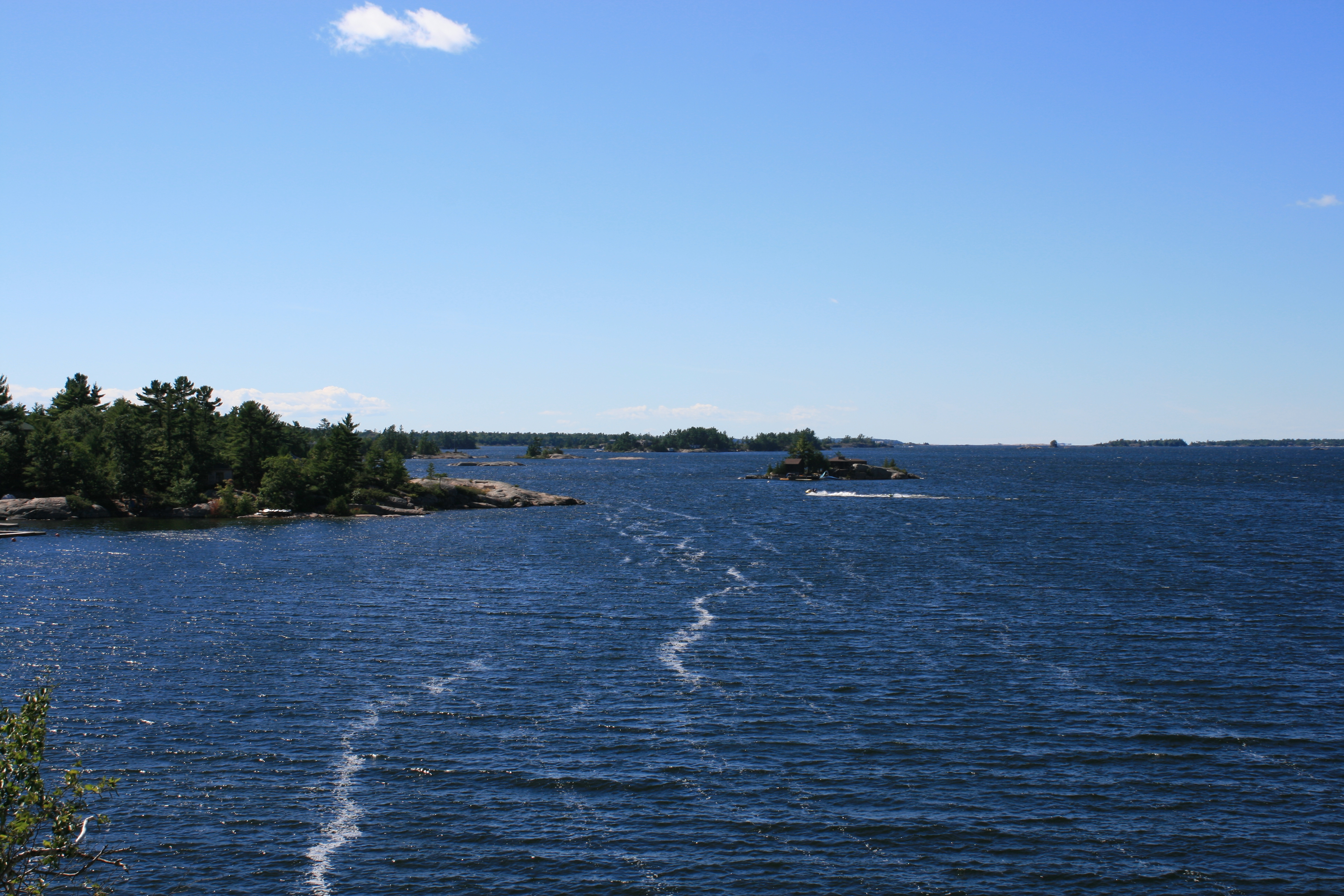
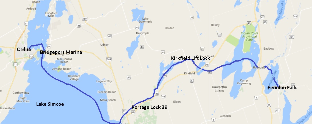
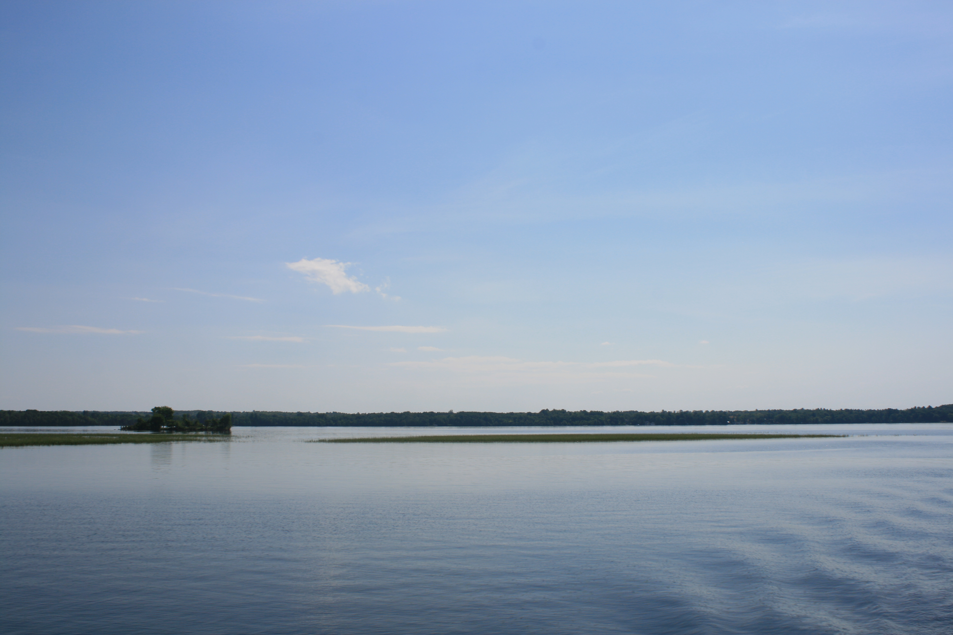
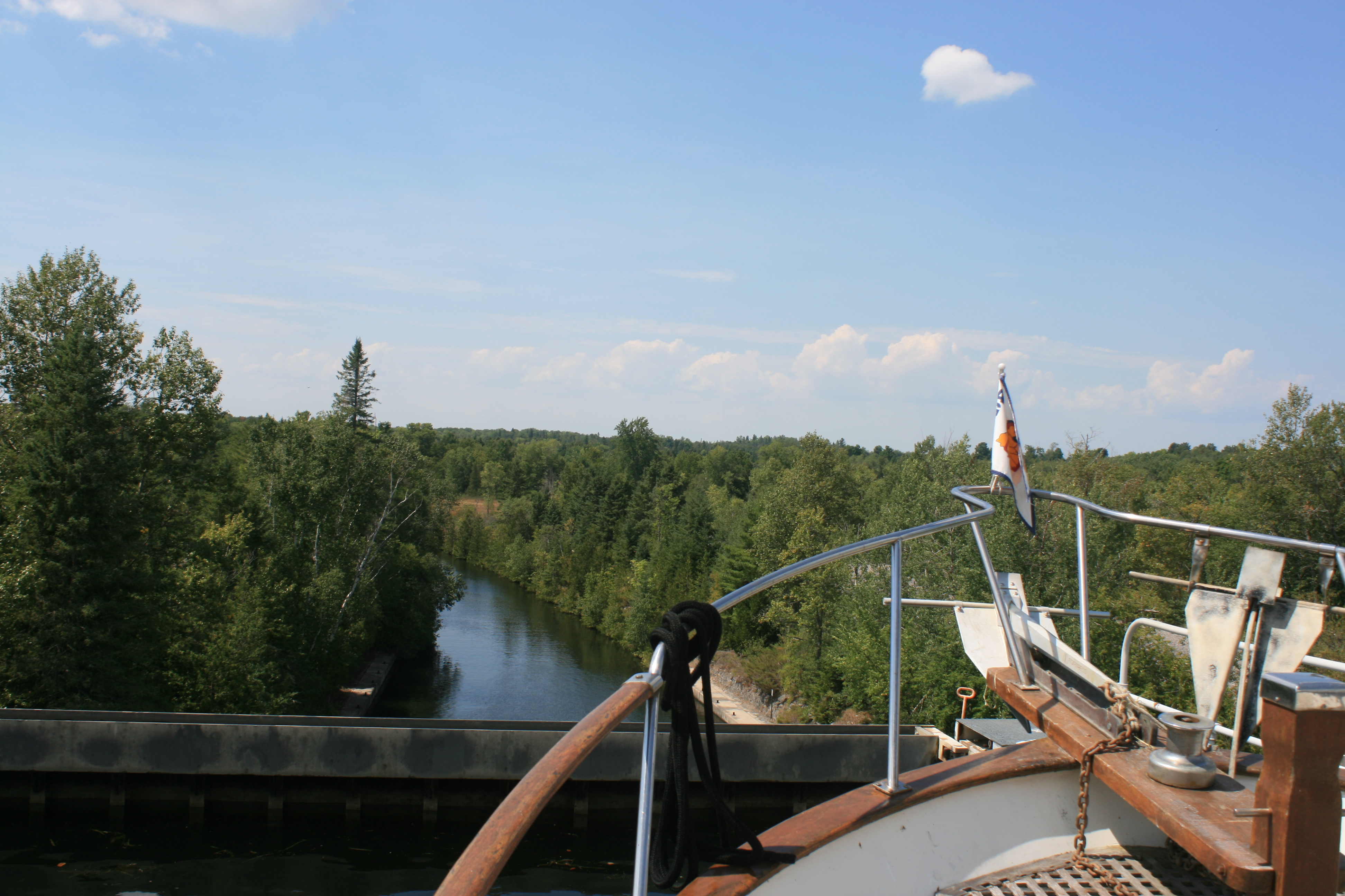
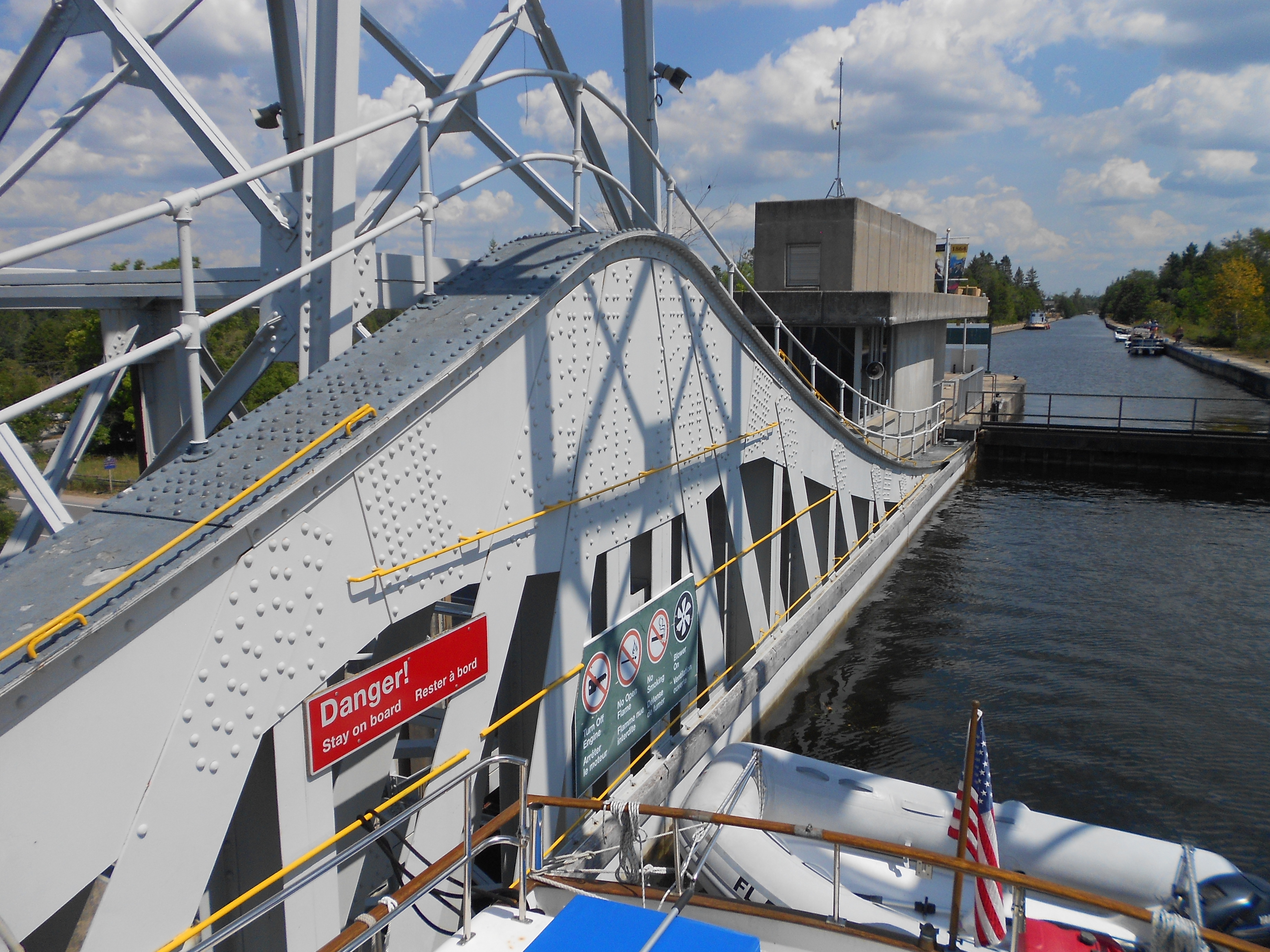
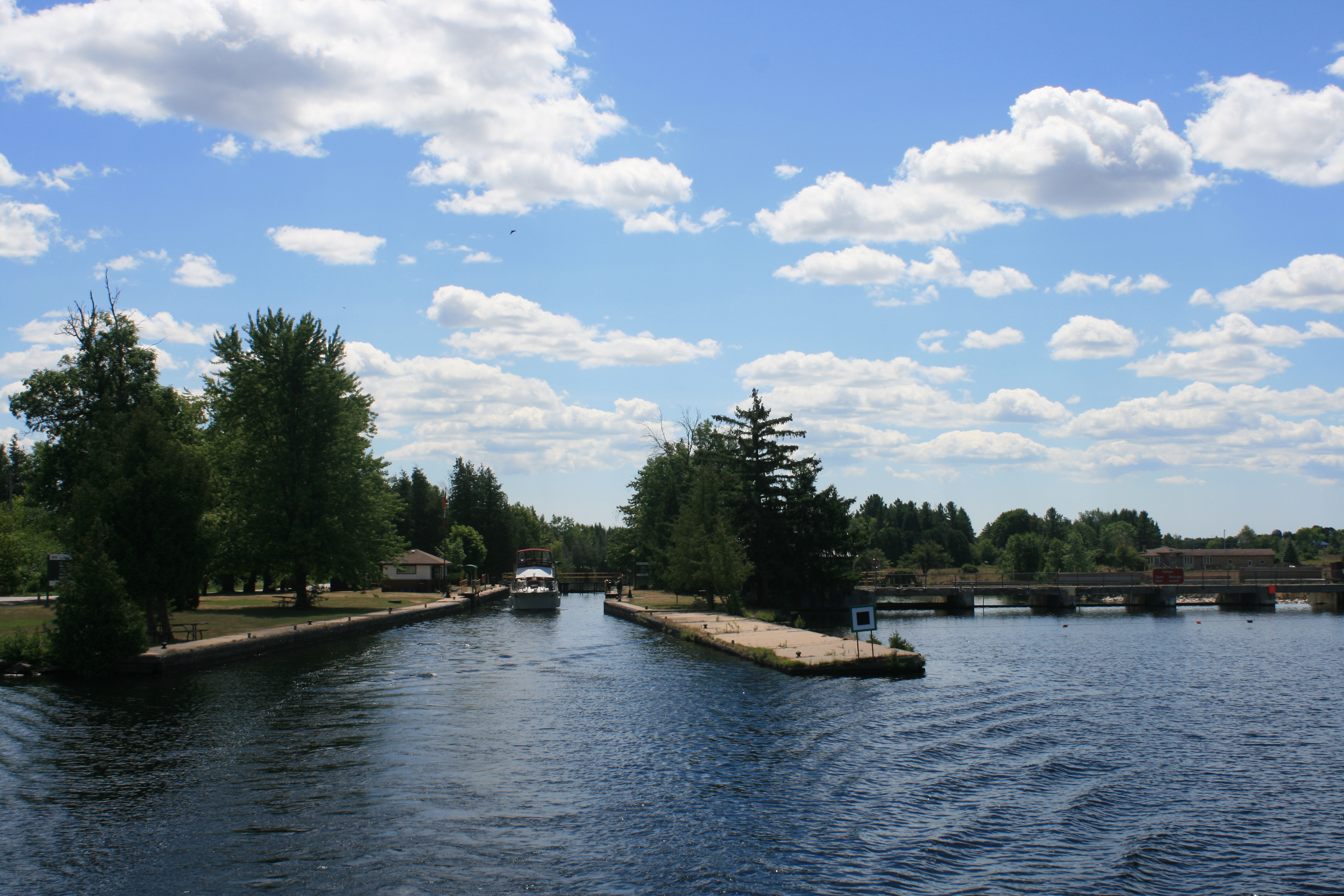
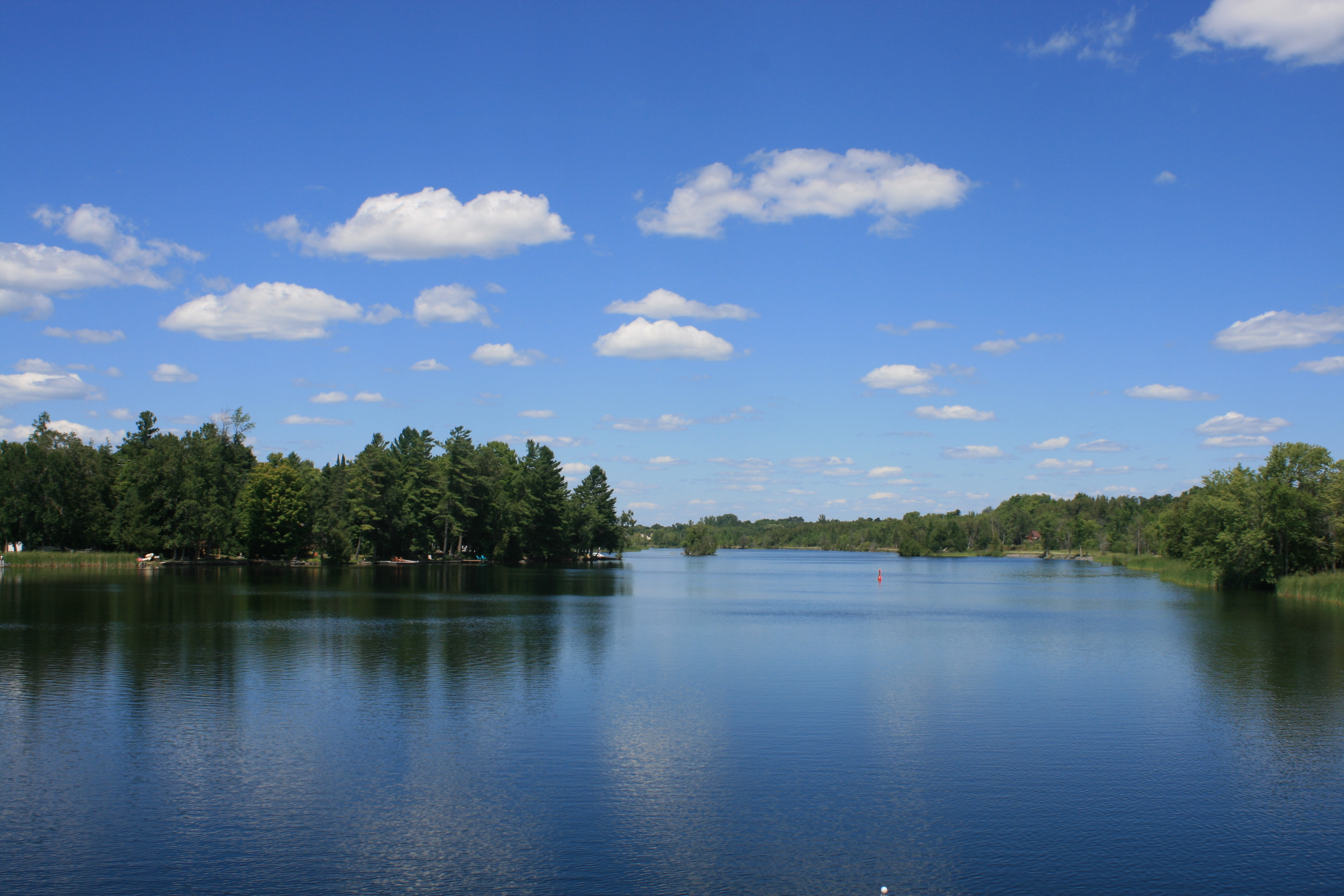
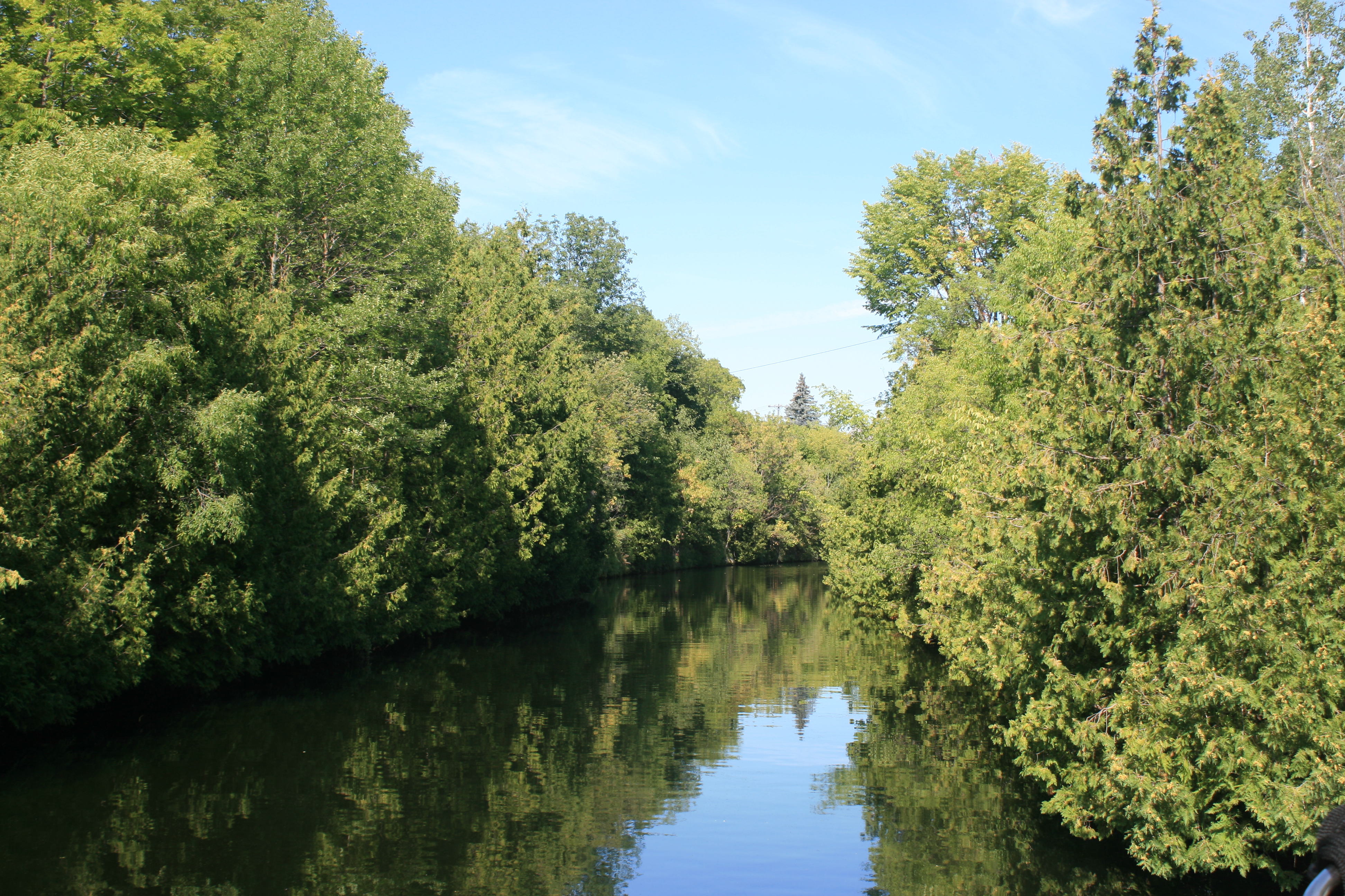
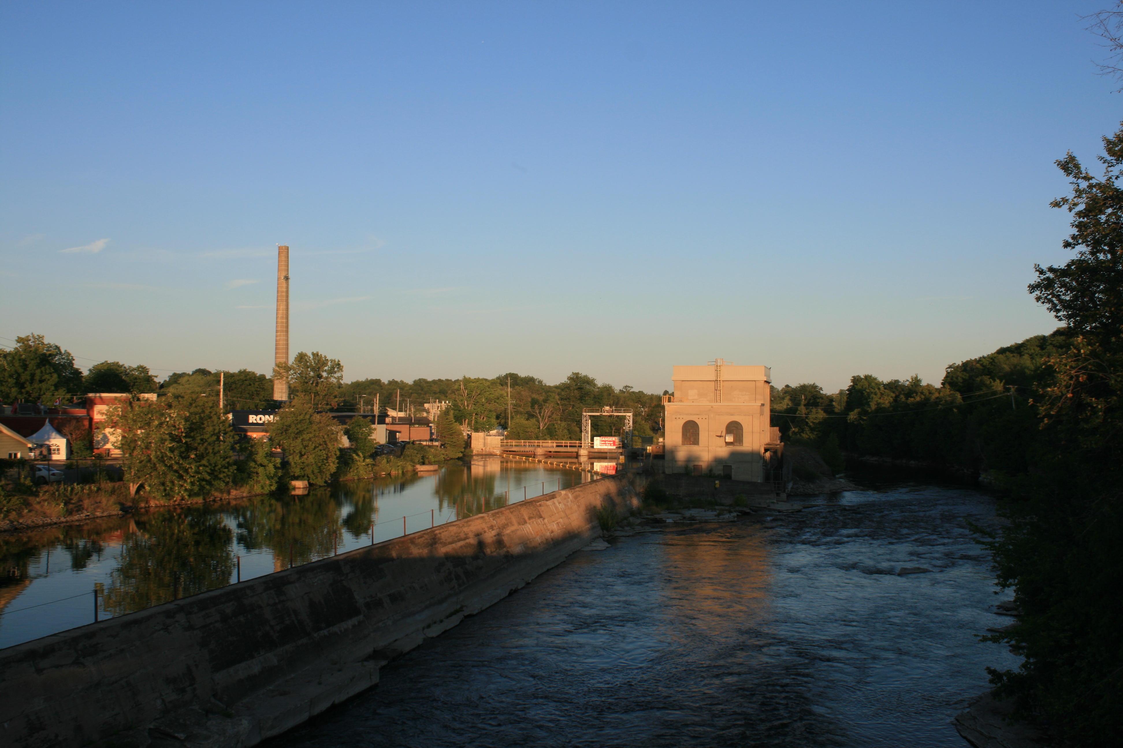
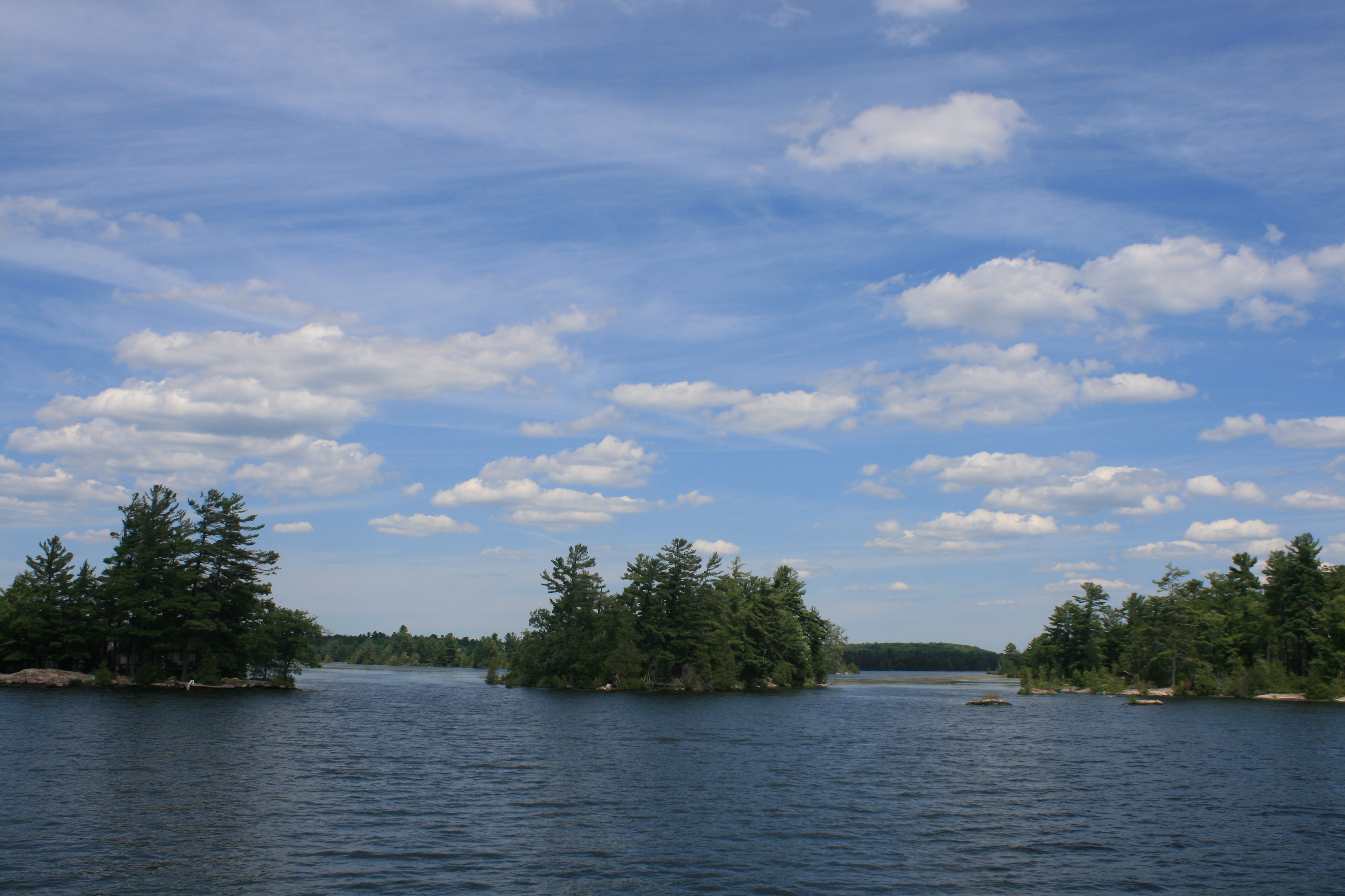
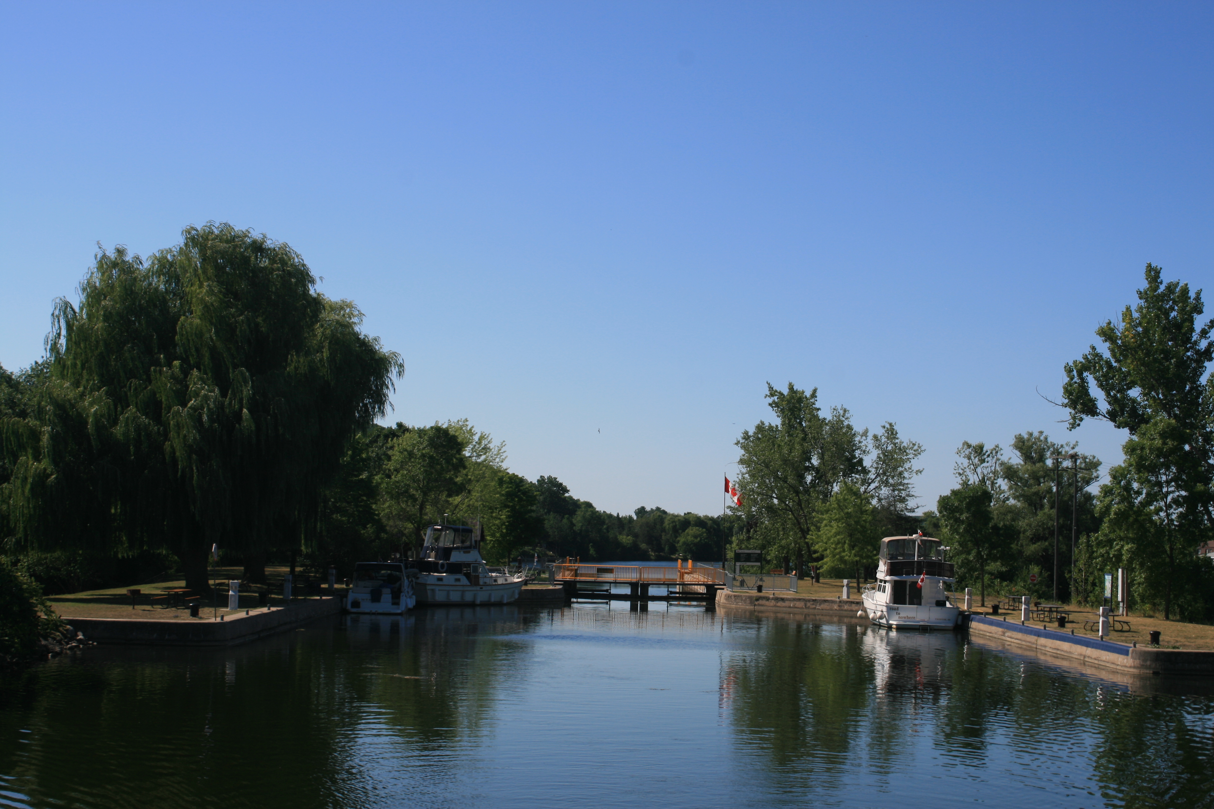
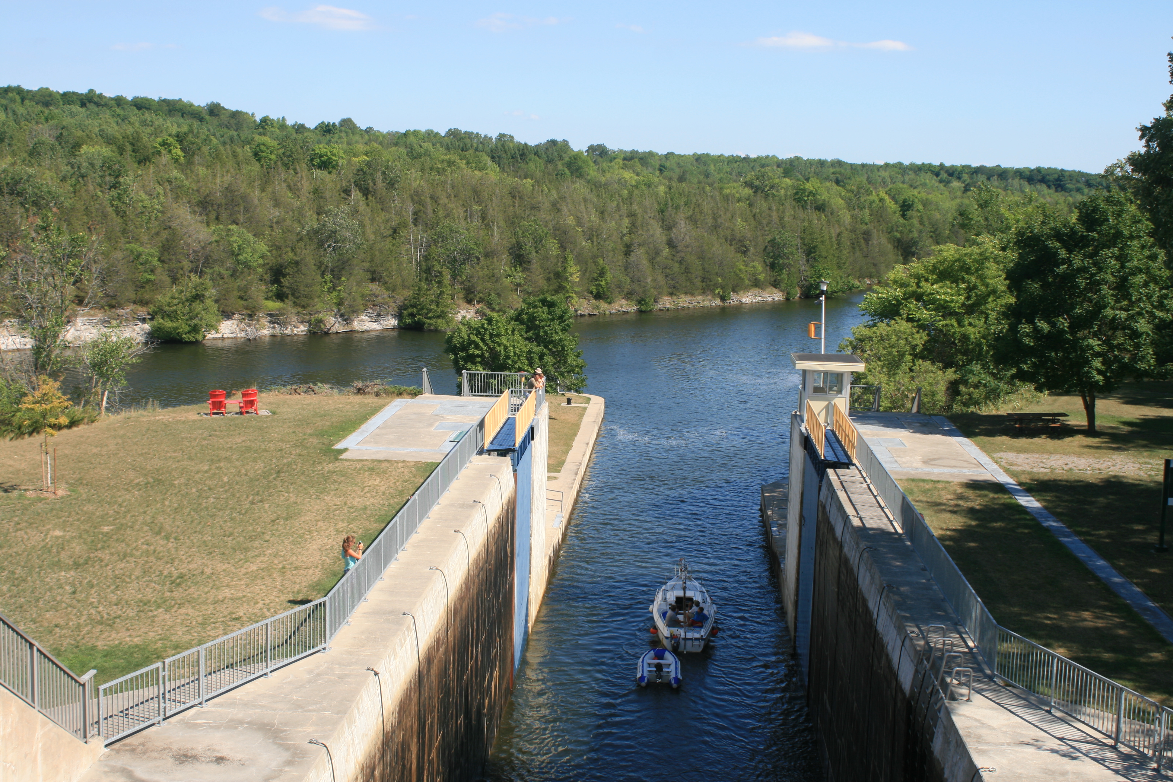
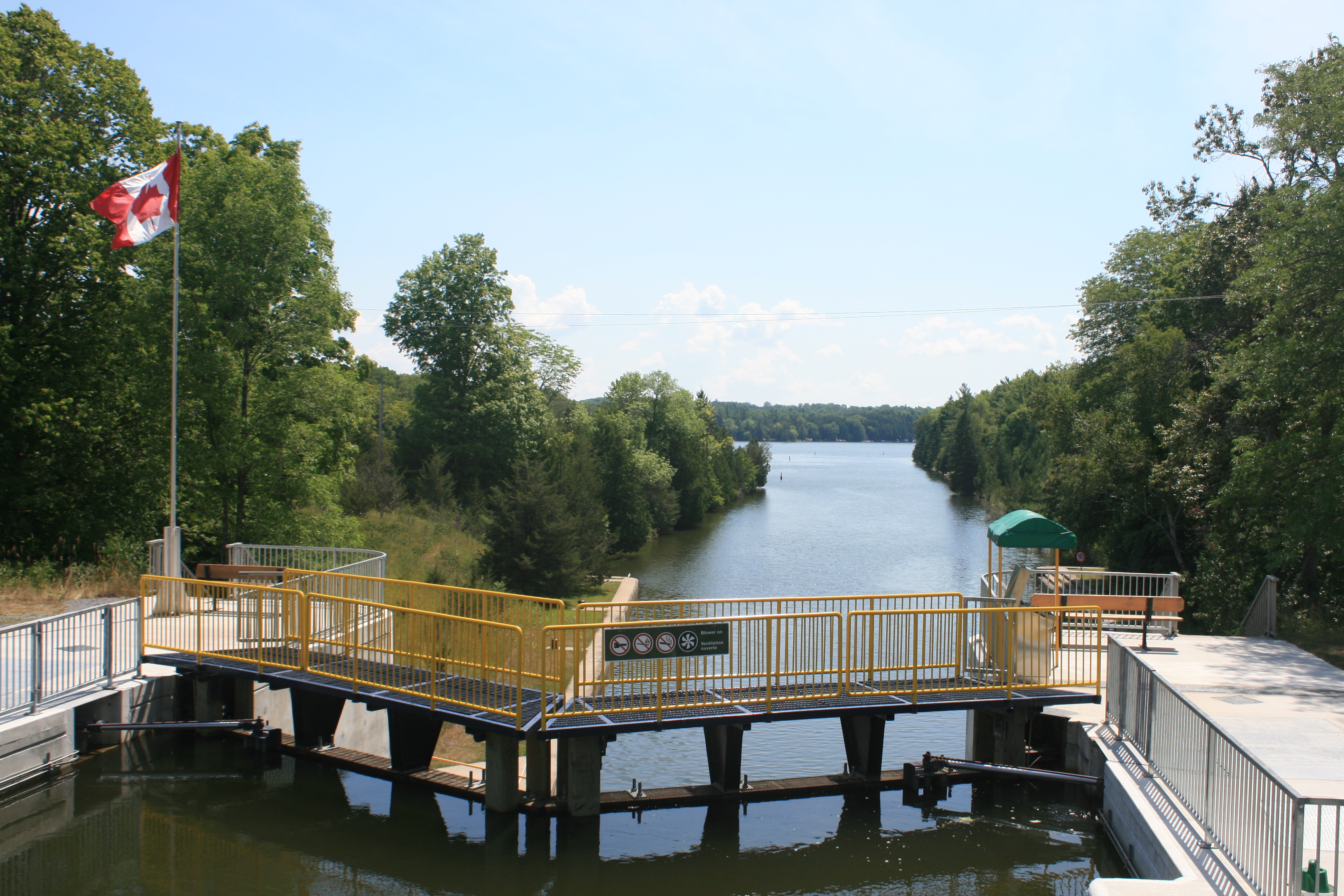
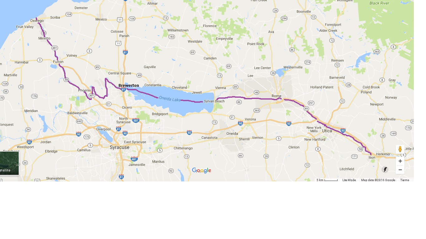
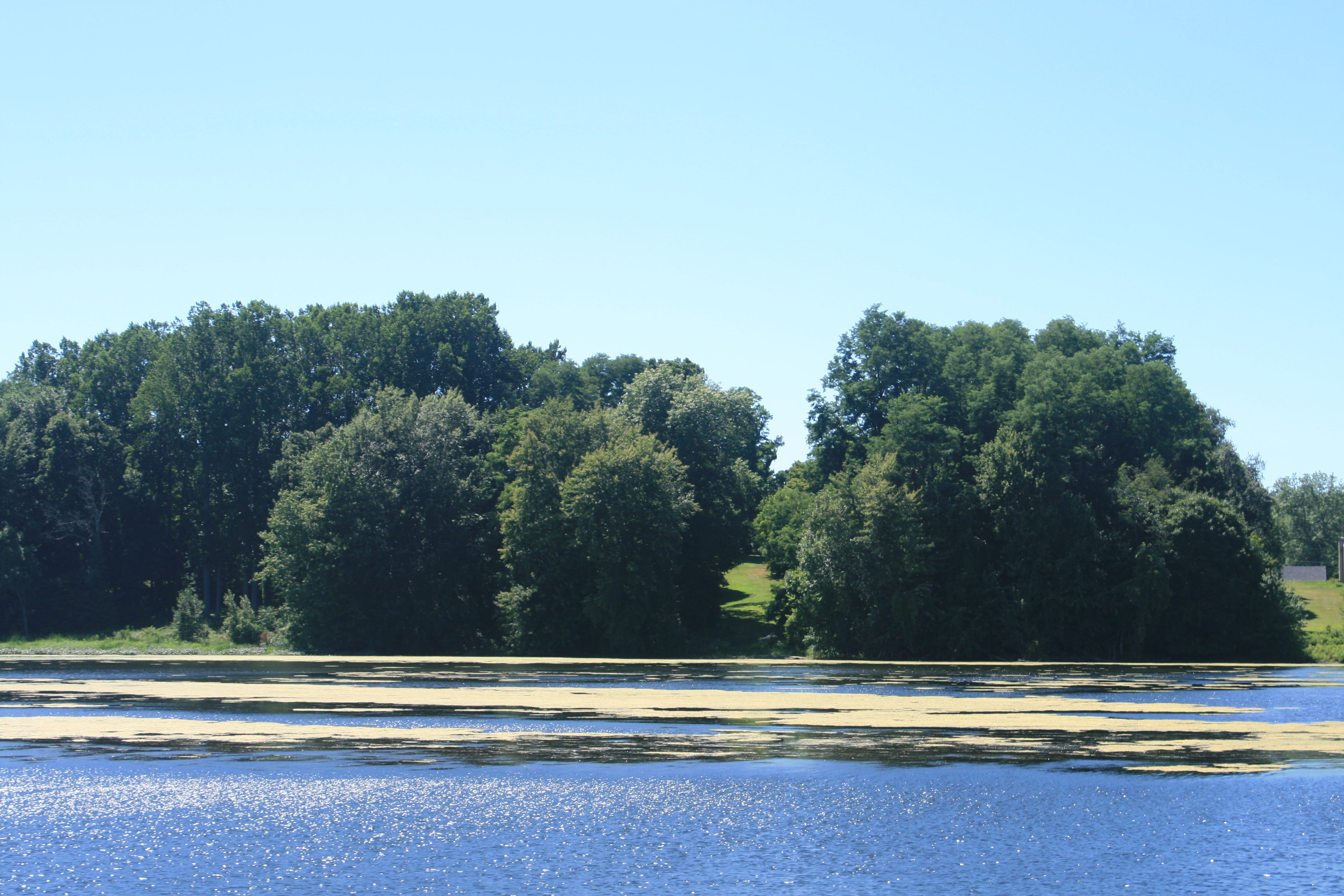
For the first time, we were going straight to the boat rather than sight-seeing first, and this sharpened our anticipation. This time, we’ll be continuing through Georgian Bay on Lake Huron, through the North Channel and down Lake Michigan to Chicago.

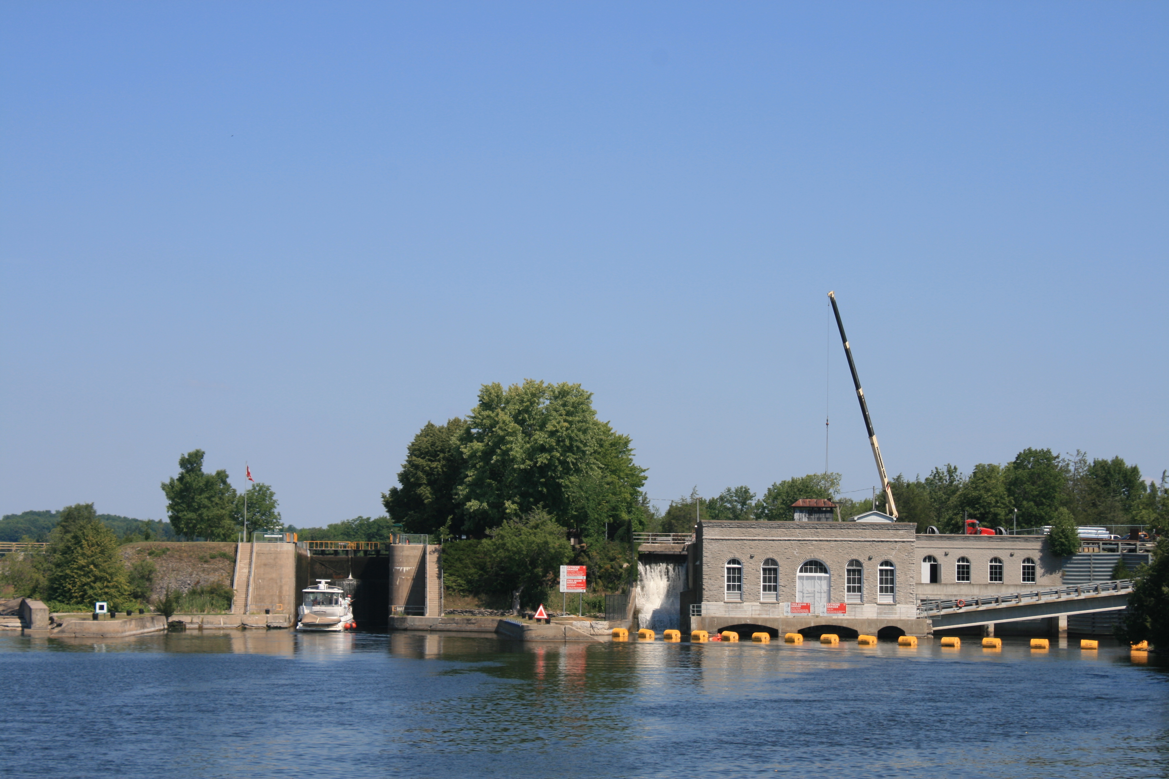
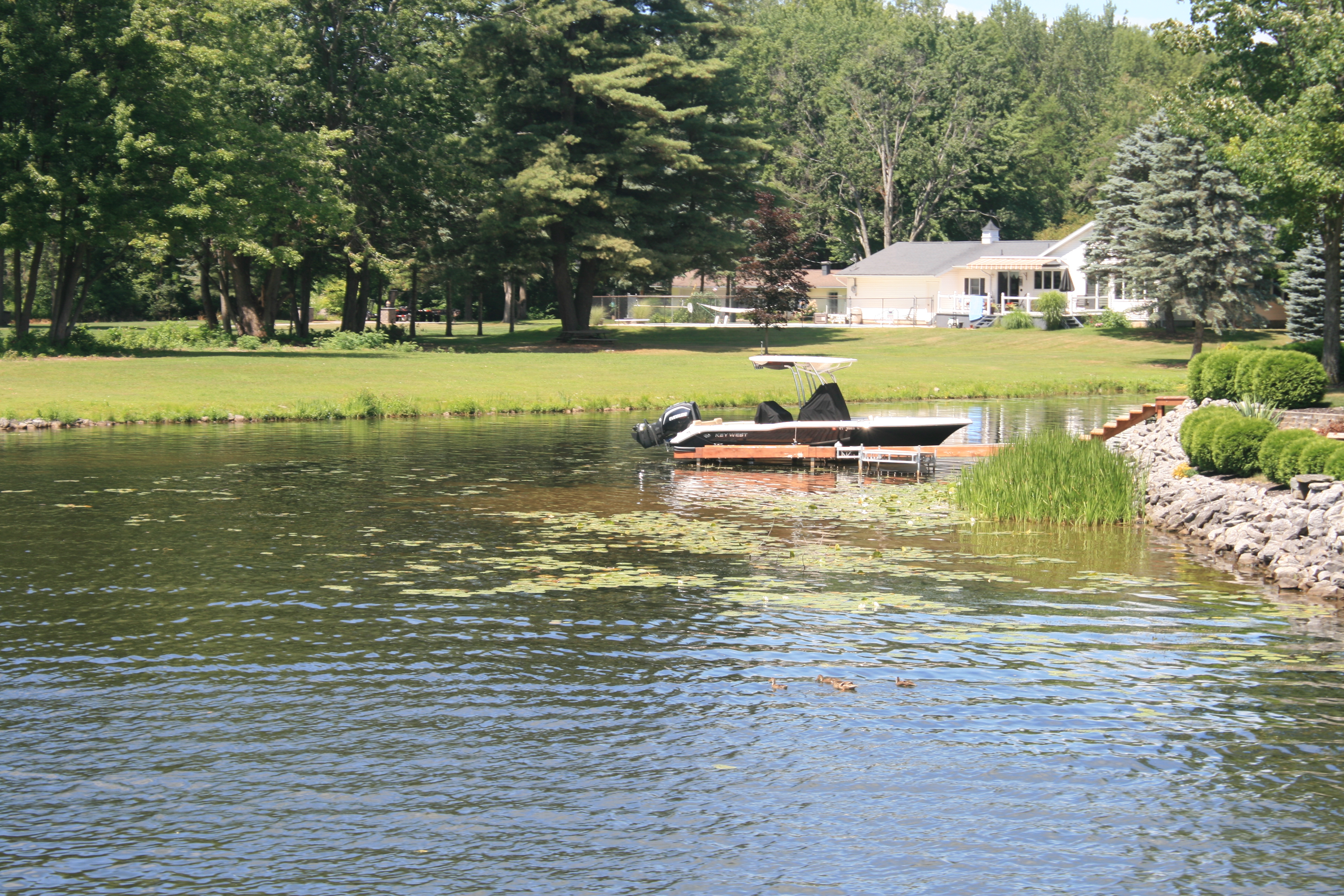
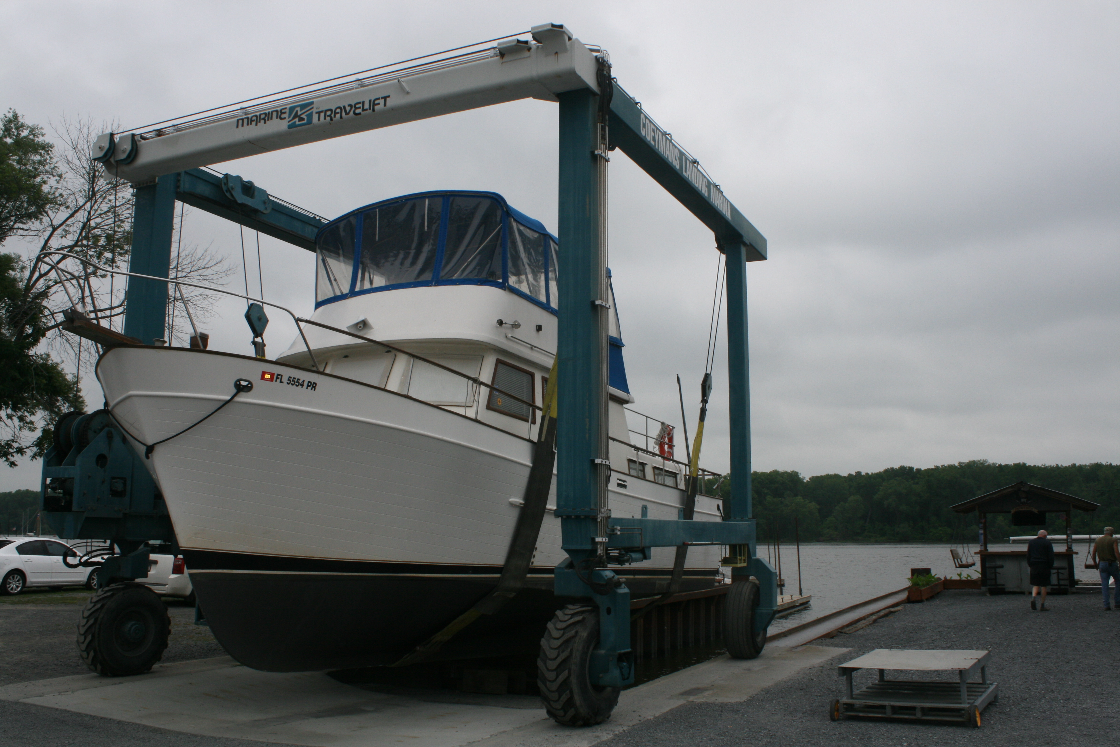
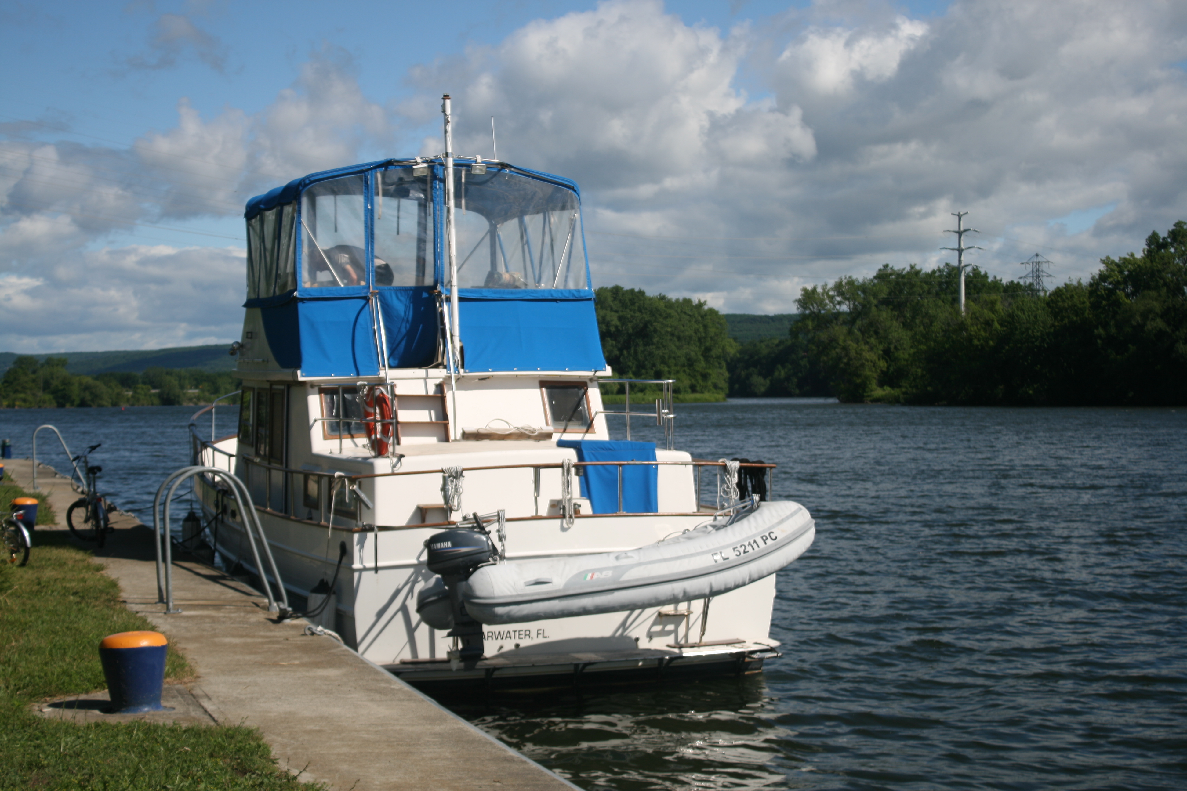
We stayed the night in Toronto, and the next day drove 150 miles north-west to Britt, on Byng Inlet, where Carina had been looked after over the winter by Graham and the staff at Wright’s Marina. She was already on the water, but the harsh Canadian winter had been less than kind to her. Several of the plastic windows on the bridge had split and really needed replacing, and a water pipe had fractured which meant that when Ian tried to fill the water tank, the water went straight into the bilges. There was the usual collection of dead insects (only small ones, thankfully) and the covers on the upholstery, which we had inherited from the previous owners and which are an impractical shade of light blue, looked decidedly grubby and shabby.
Help with the water pipe was fortunately at hand from Dave the mechanic, but having the floor up in both the galley and the cabin rather delayed the unpacking process.
I decided instead to tackle the upholstery. My previous attempts to remove the covers to wash them hadn’t been very successful. The foam inside was unyielding and difficult to remove, and the covers had no washing instructions inside. I had limited cleaning to spraying with Scotchgard foam and rubbing hard at the soiled areas, which had little effectiveness.
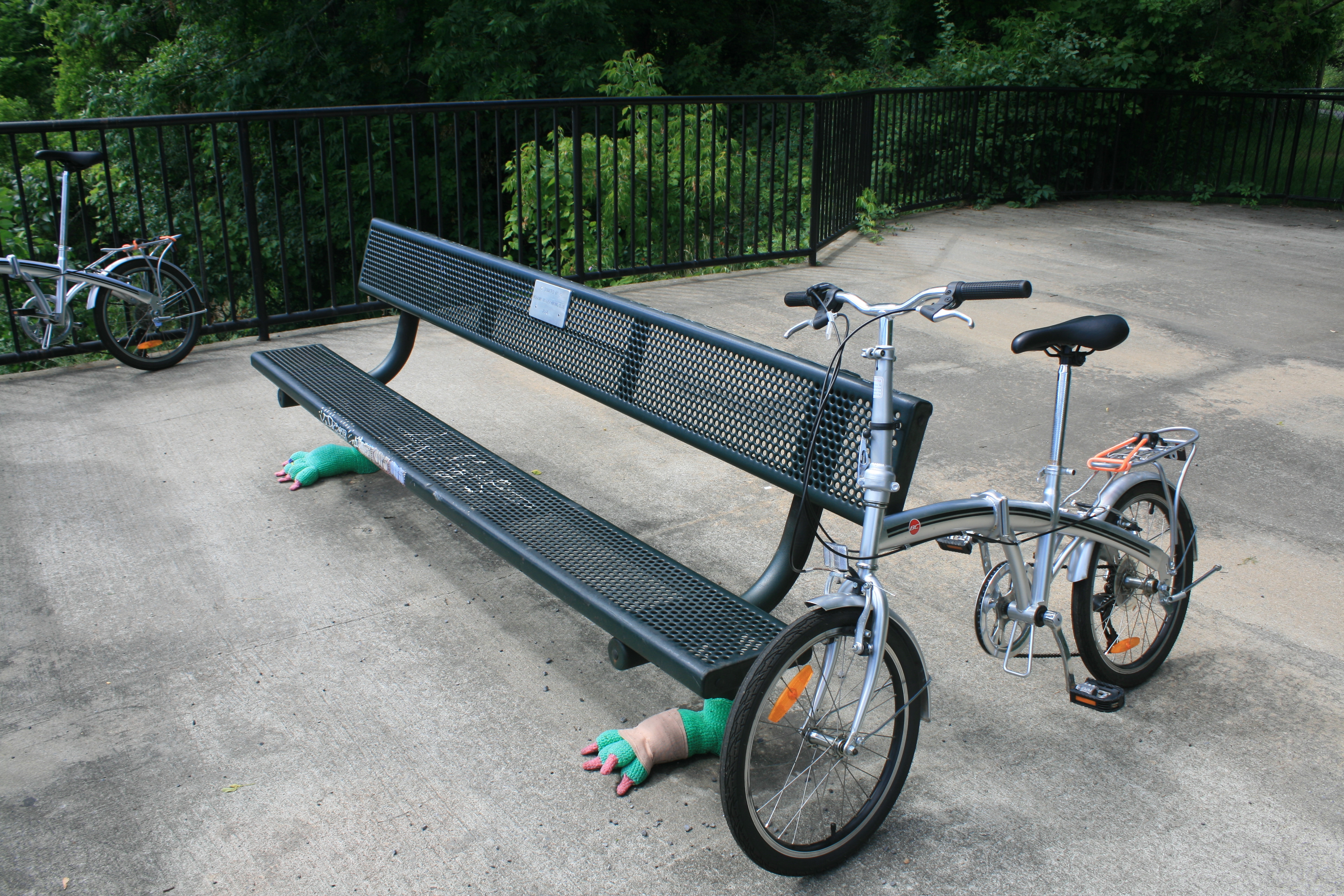
Now though, I no longer cared whether or not the covers survived the hot wash and the tumble drier. We would just sit on uncovered foam, or better still, get new covers made. But they came out almost pristine, and after some vigorous wrestling we managed to get them back in place. This had an unusually cheering effect.
The new cushions and the freshly laundered upholstery
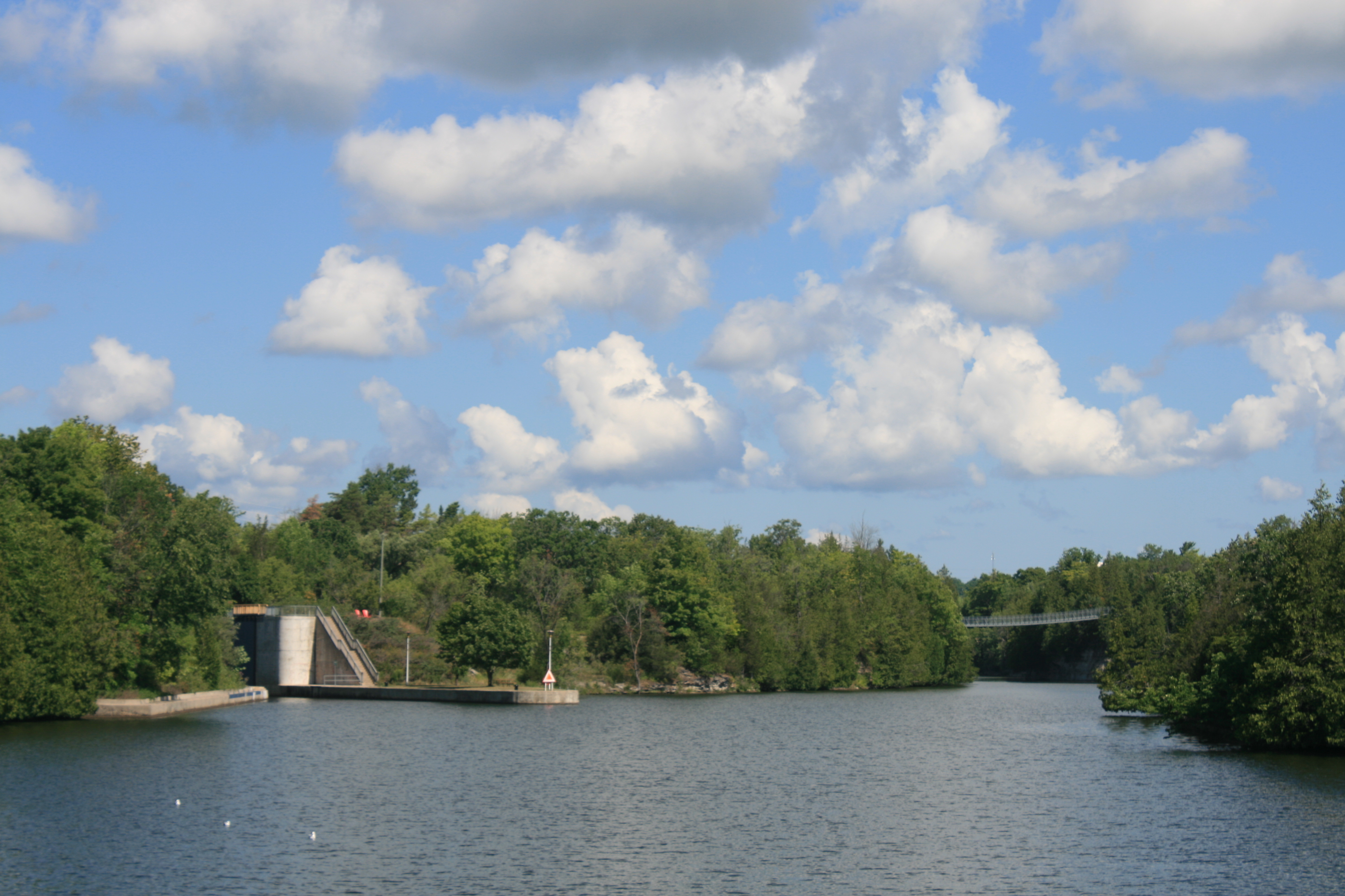
The pipe couldn’t be fixed until the next day, so it was just as well that we had booked into the St Amants Hotel at Britt for the first night.

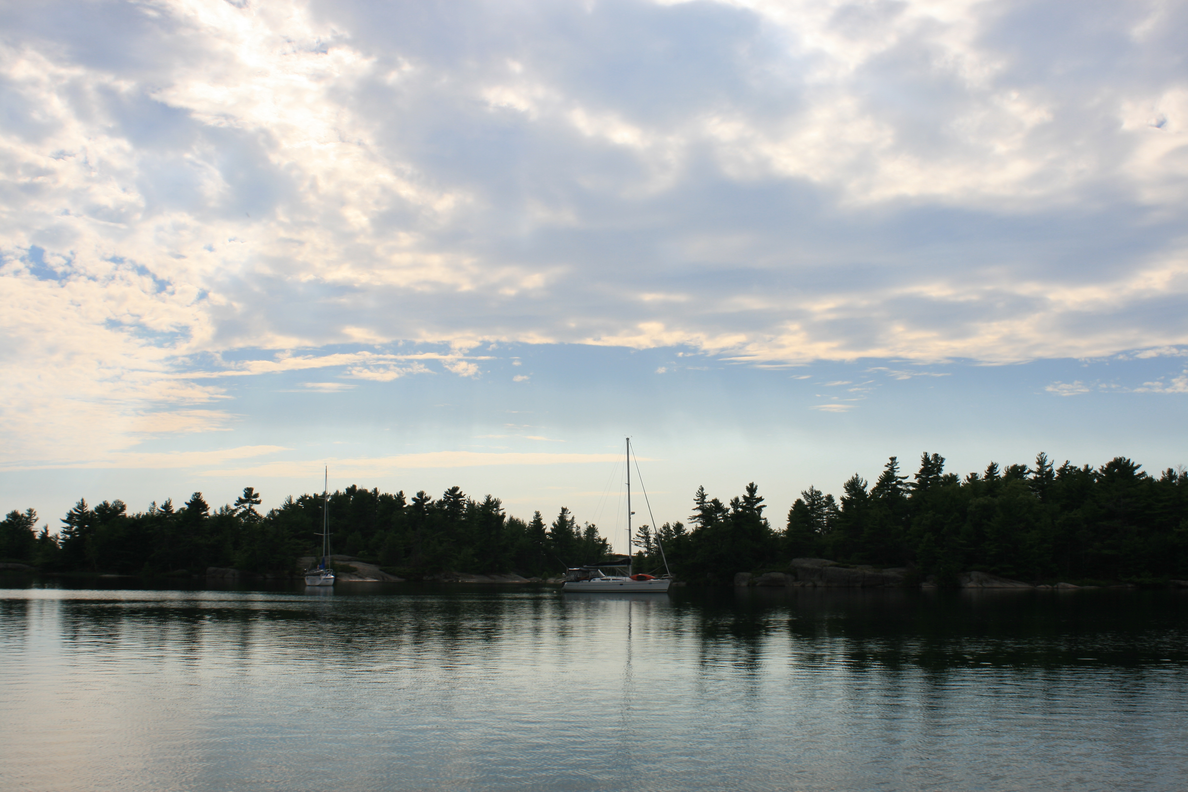
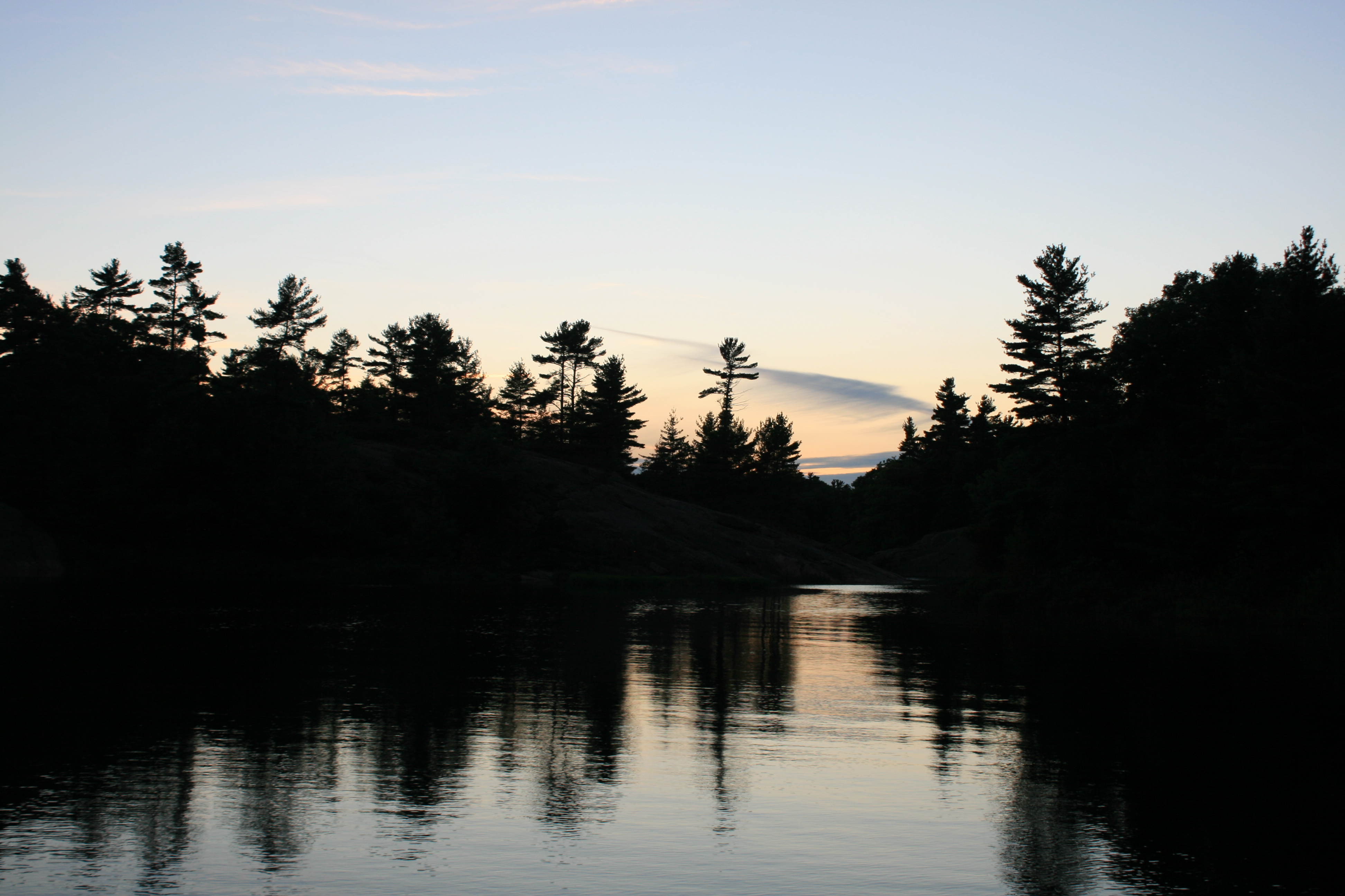
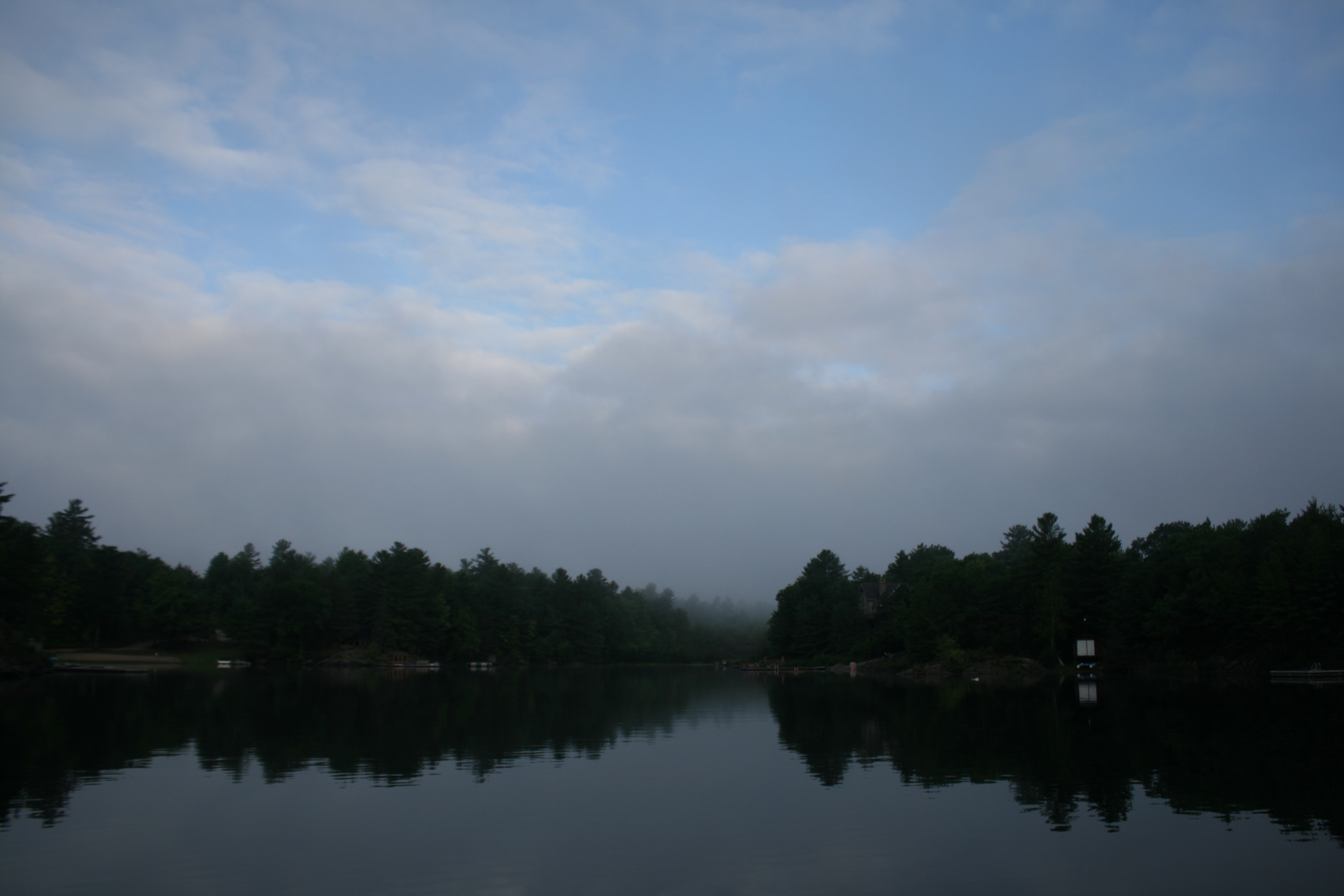
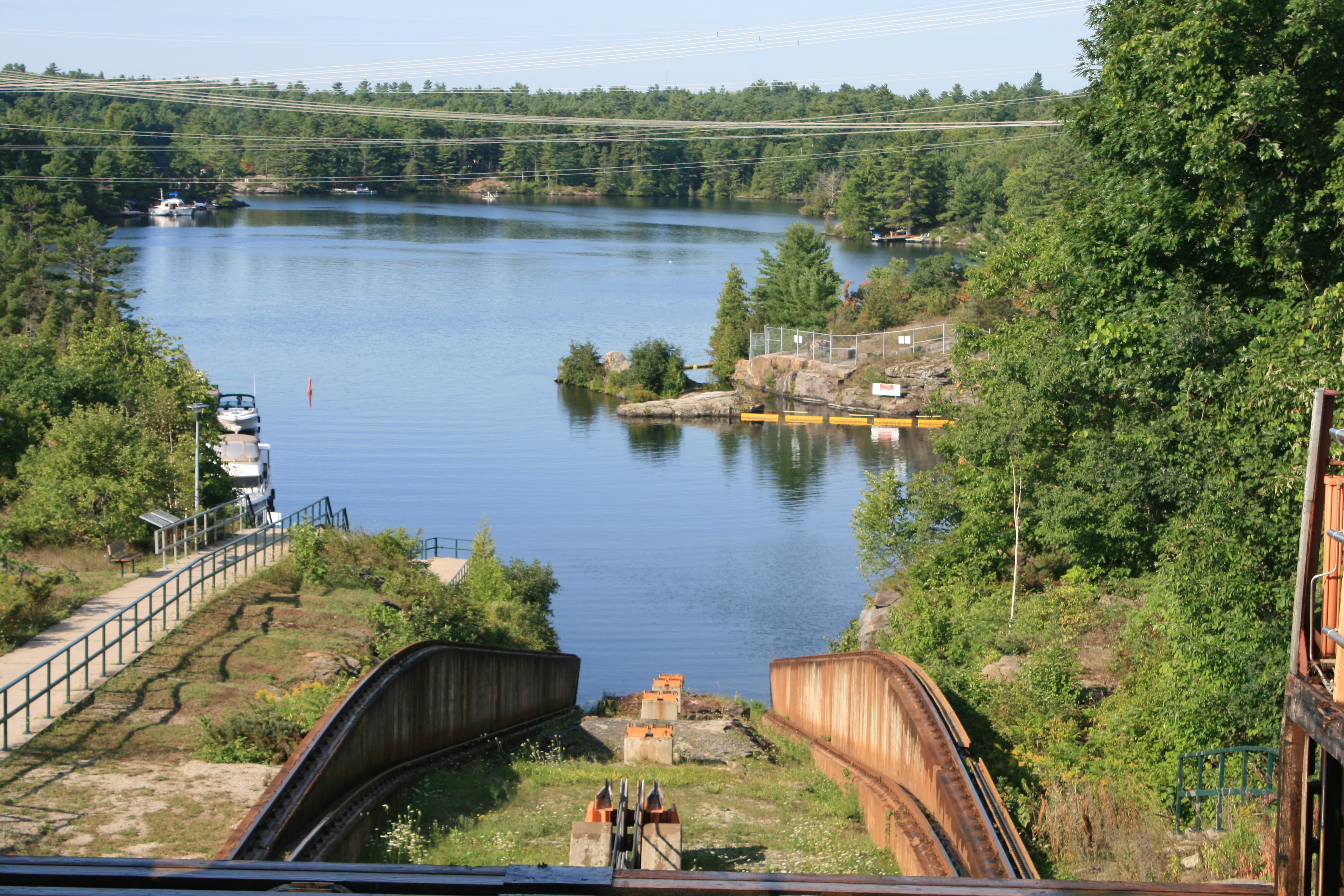
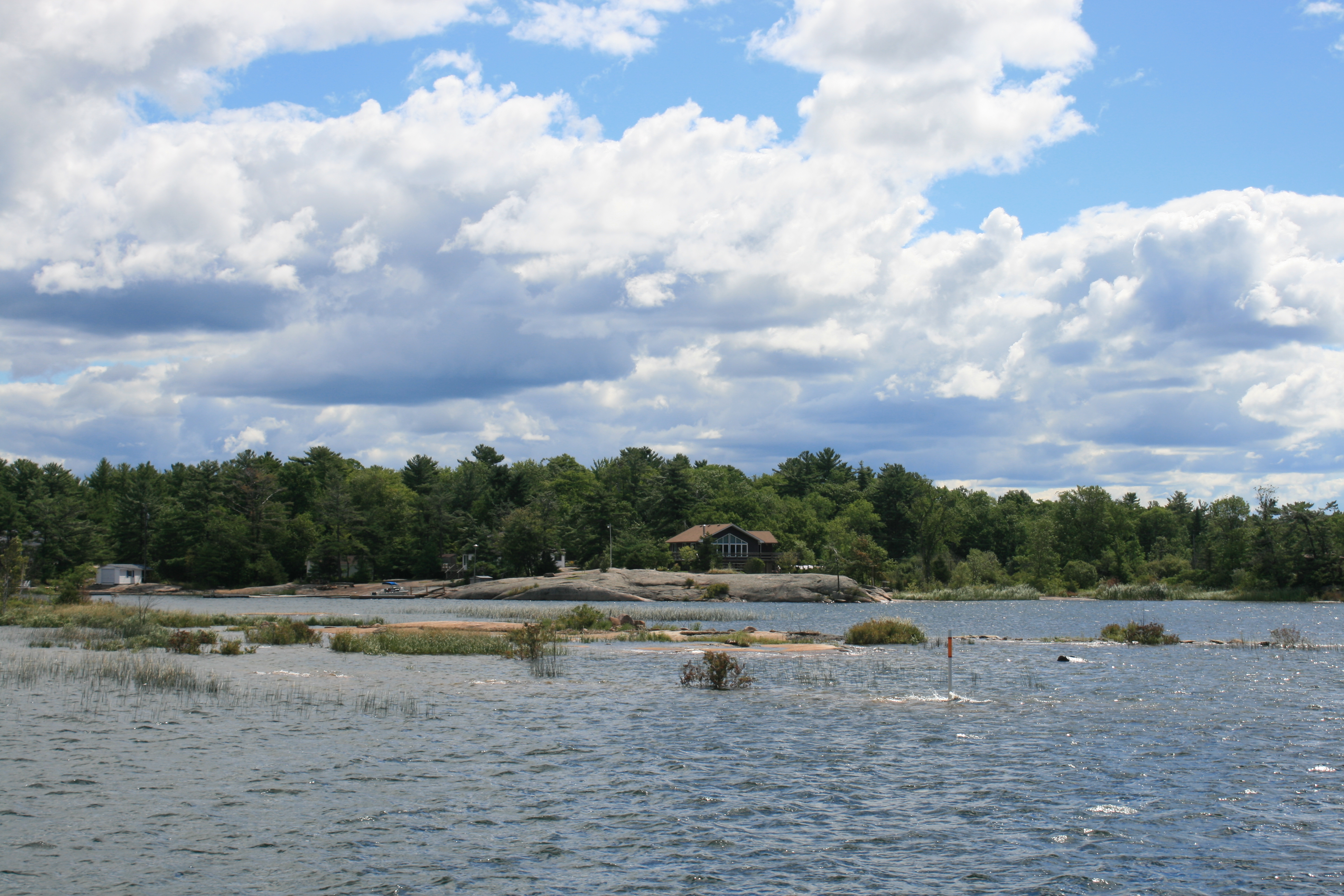
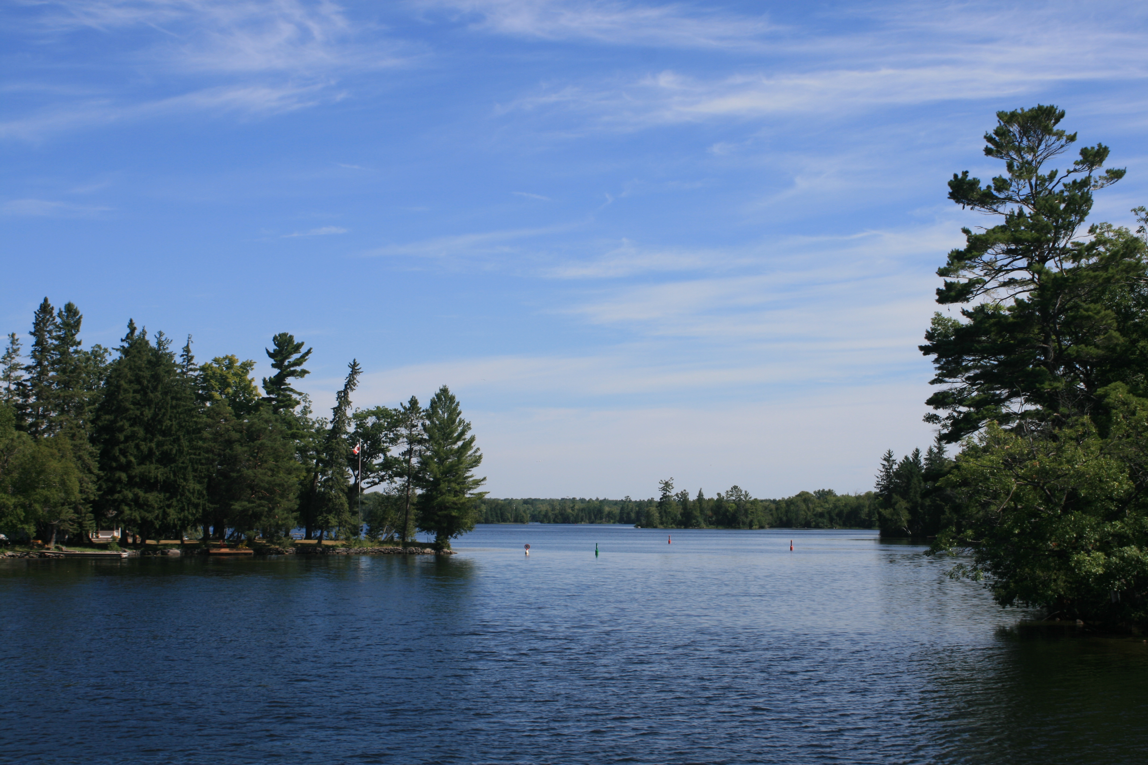
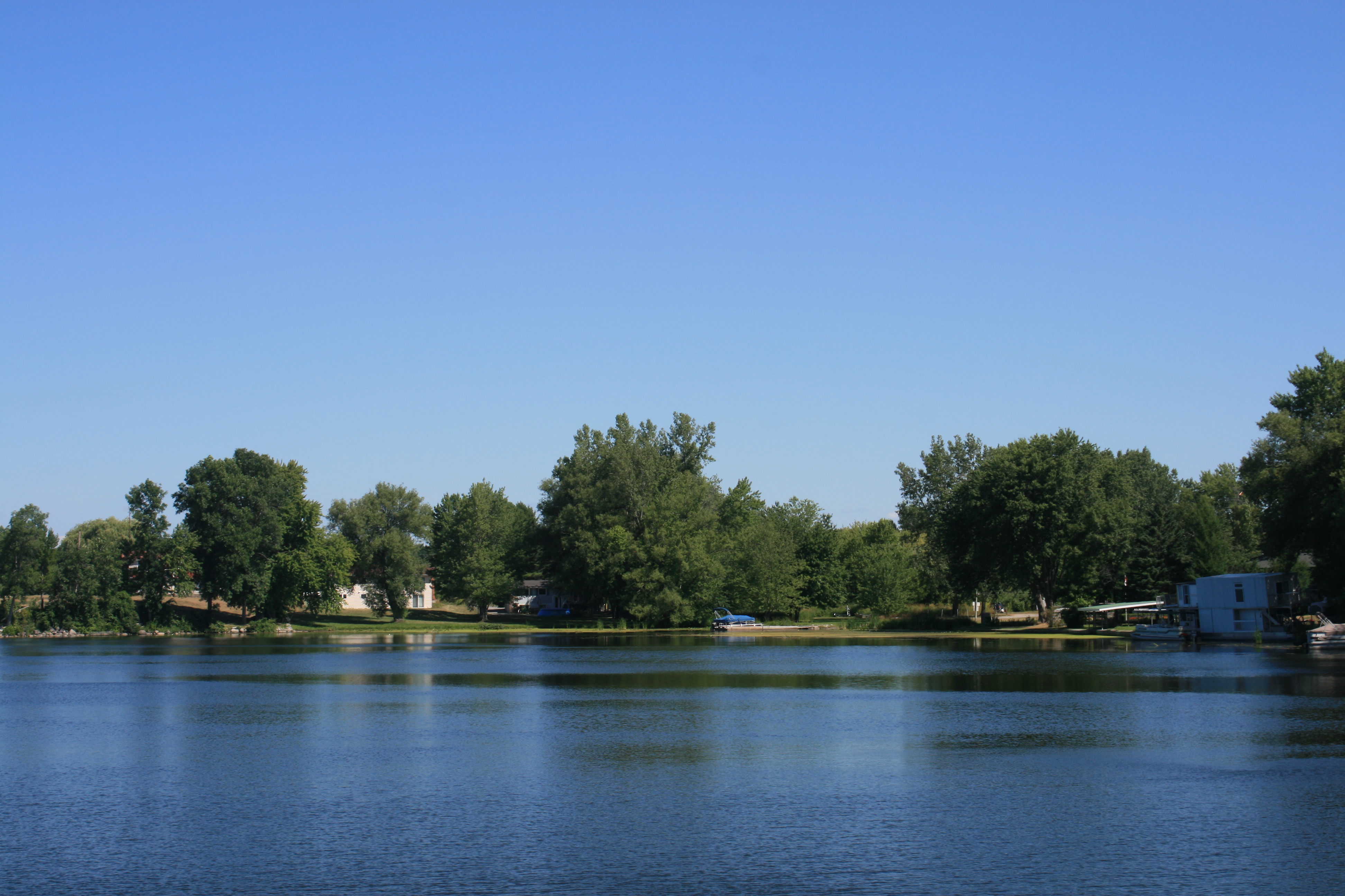
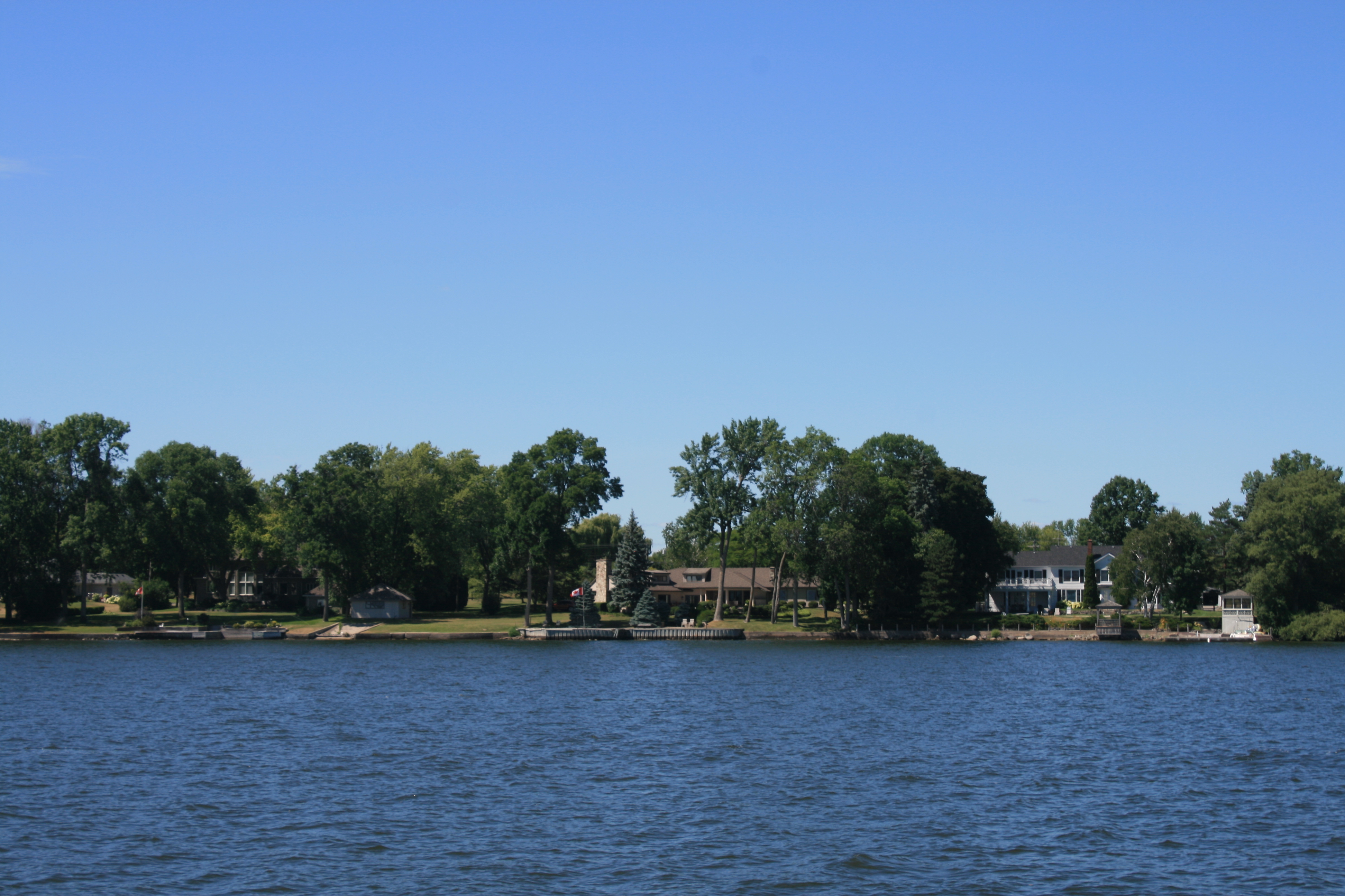
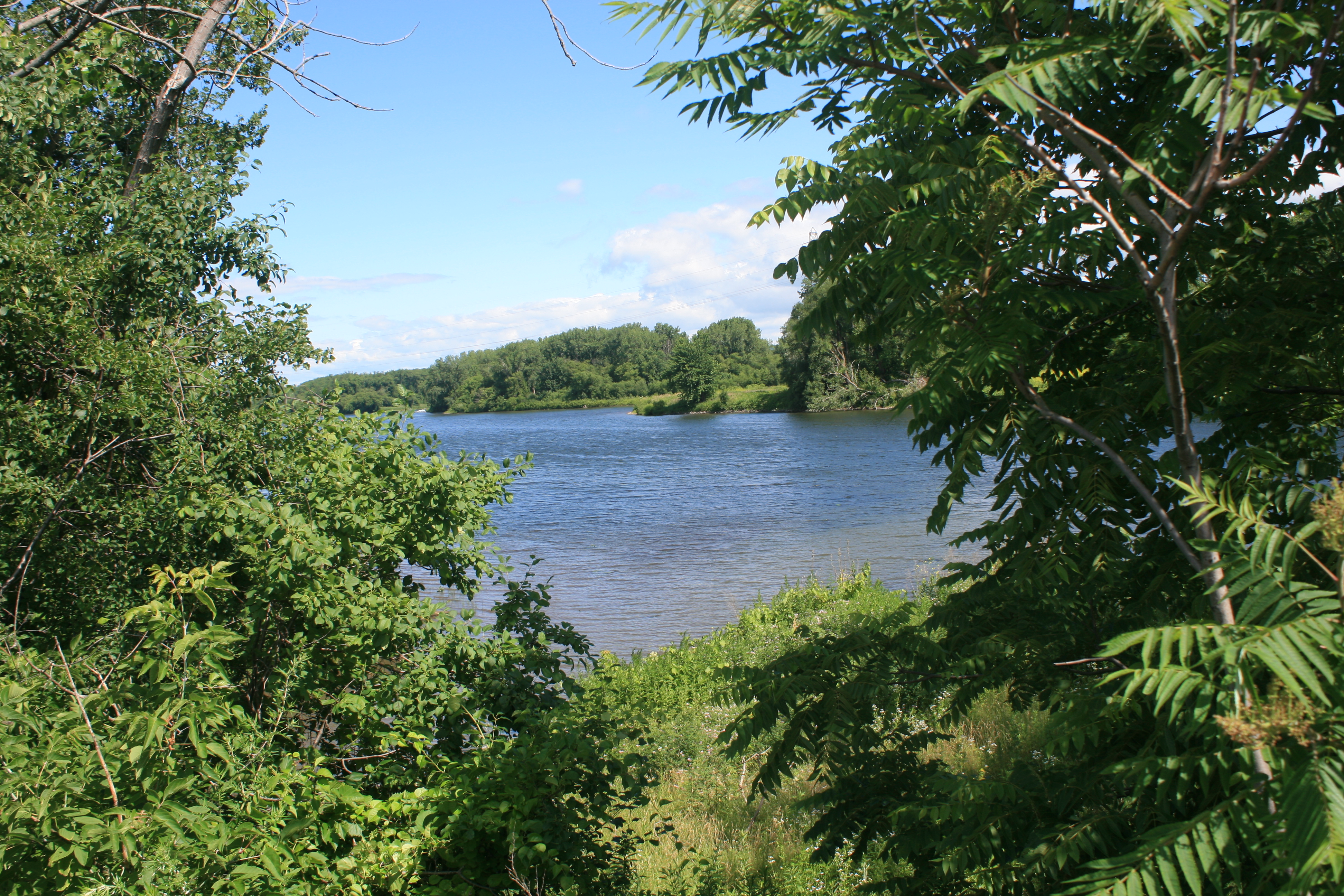
Late evening view of Byng Inlet from our hotel room
The next day we had to return the hire car to Parry Sound, the nearest town 45 miles away. Karrie, Graham’s wife, very kindly gave us a lift back to Britt. She regaled us with a modern-day, role-reversed Goldilocks story. The owners of one of the cottages just down the road from the marina had come home to find a bear had pulled apart the side of the house, found the padlocked freezer, pulled open the lid, and was helping itself to the contents. It was curbed only by the arrival of a Park Ranger with a tranquilising dart.
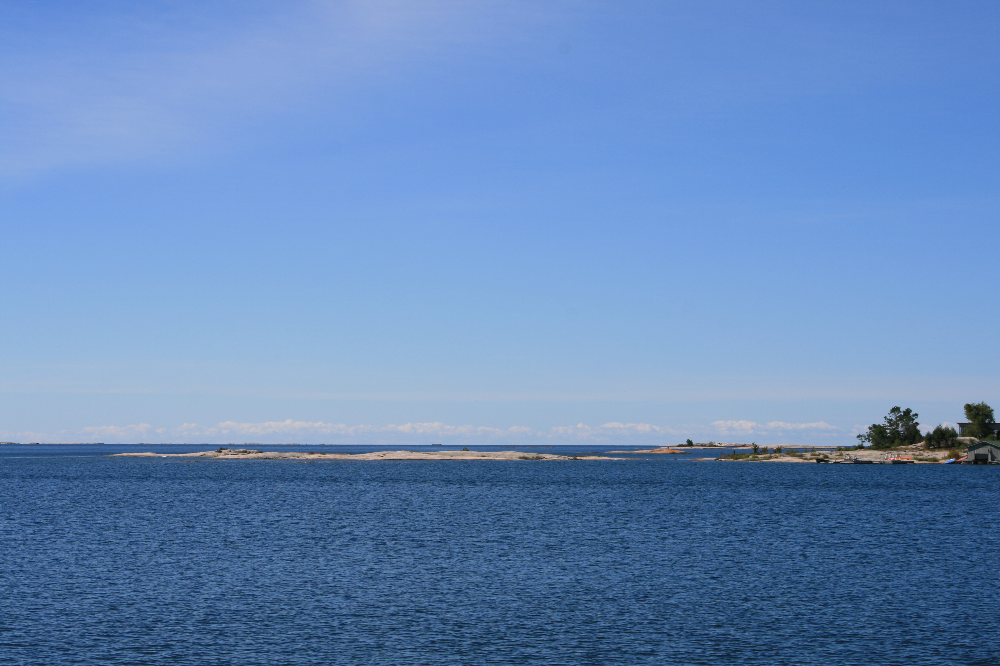
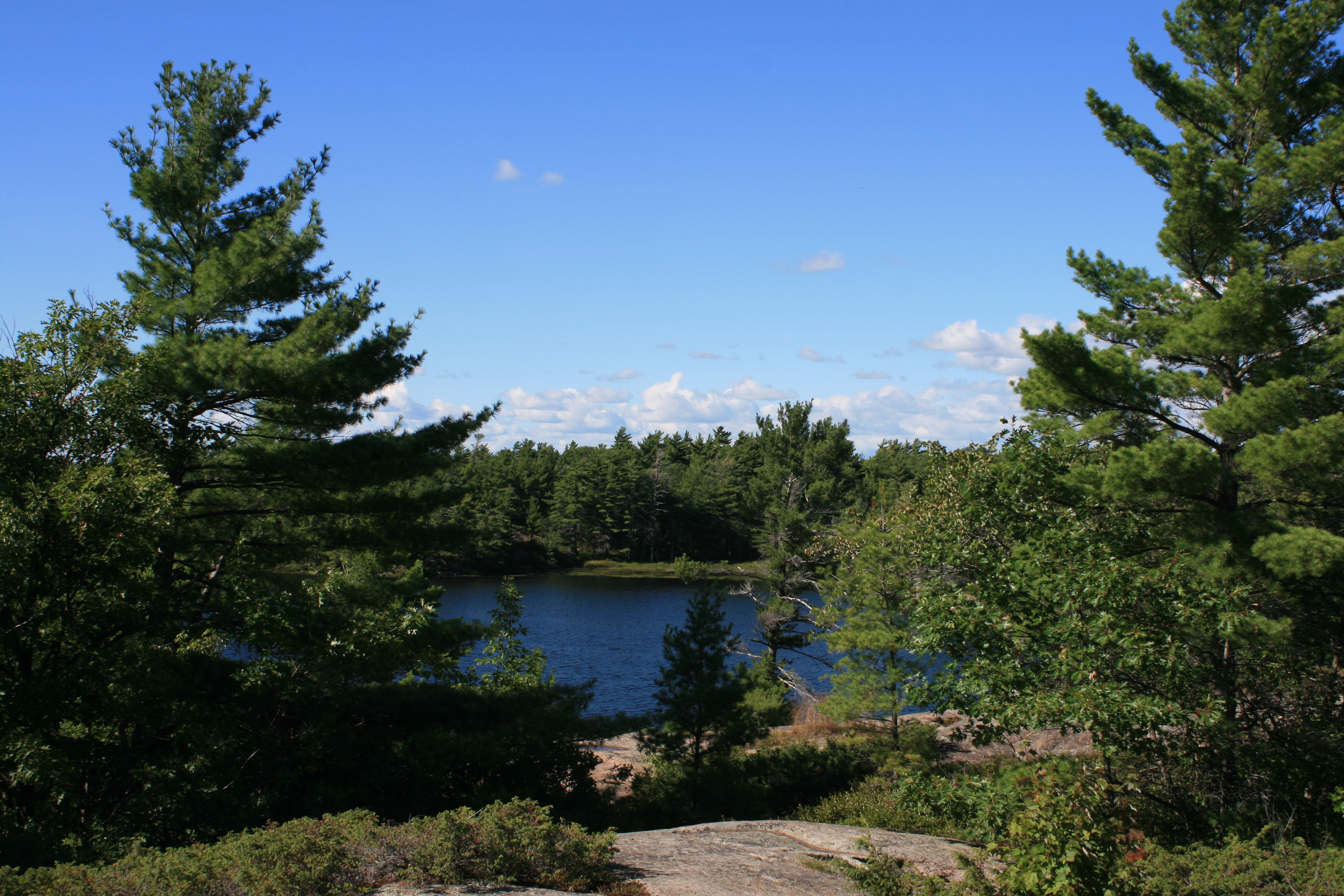
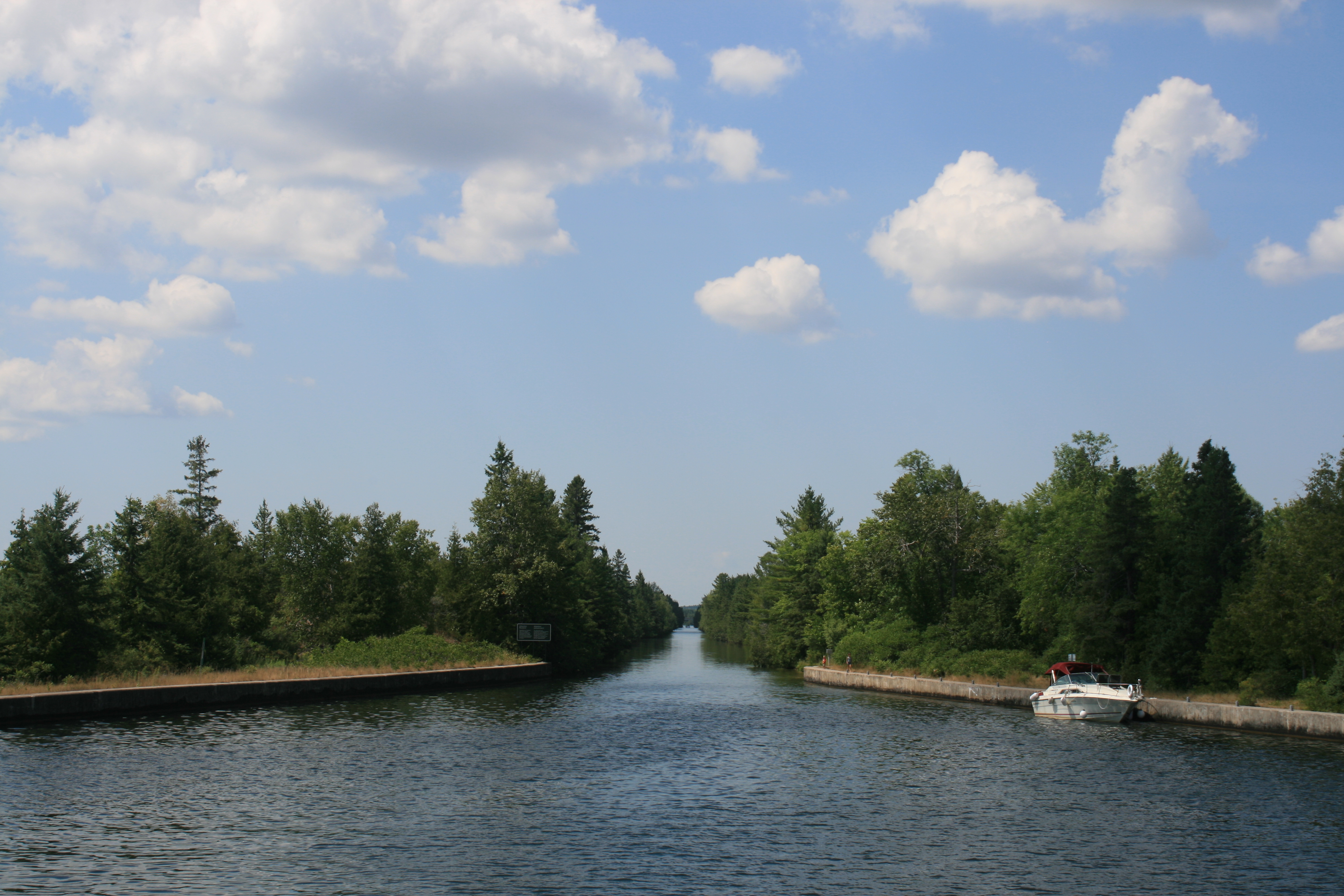
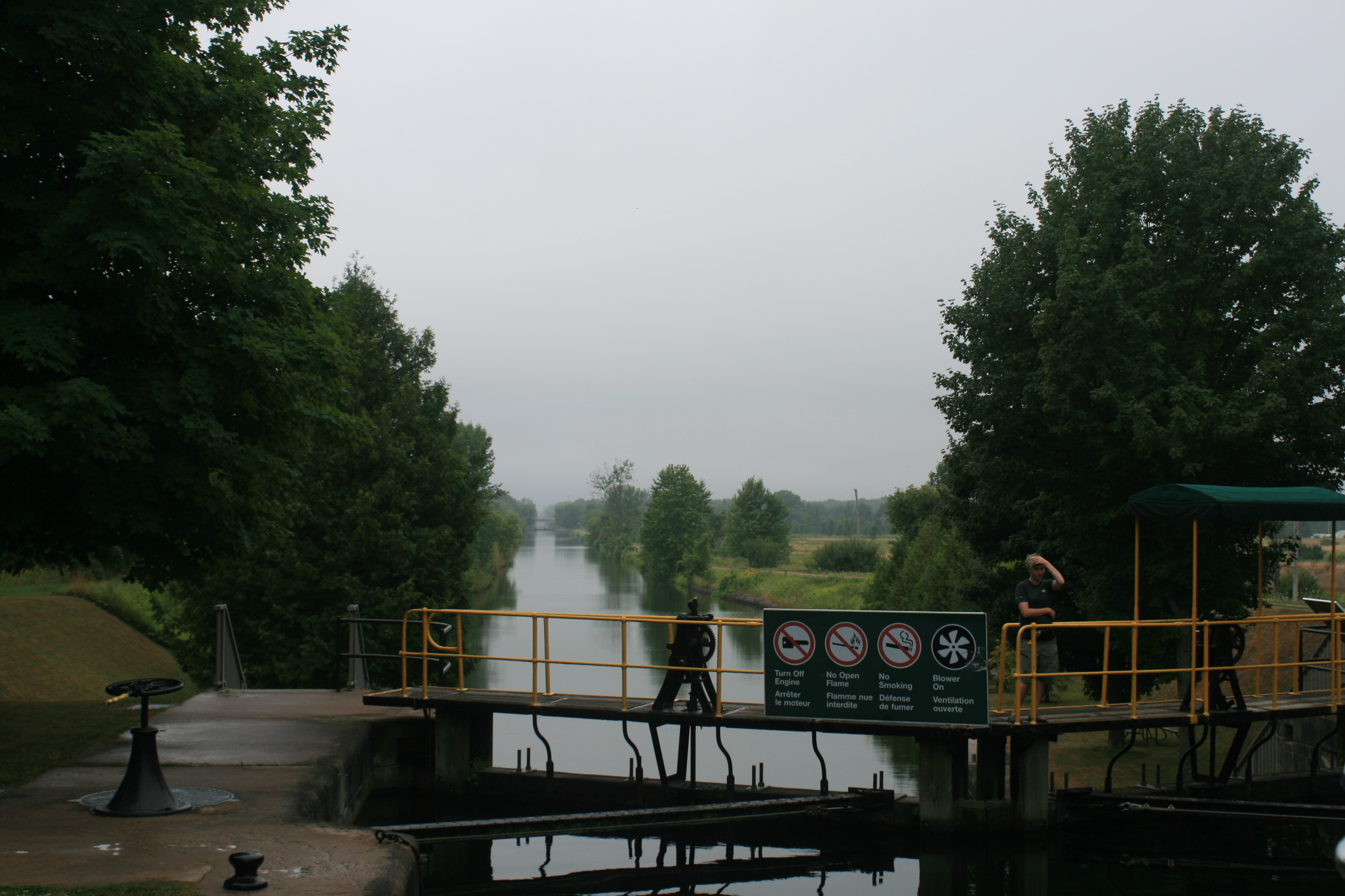
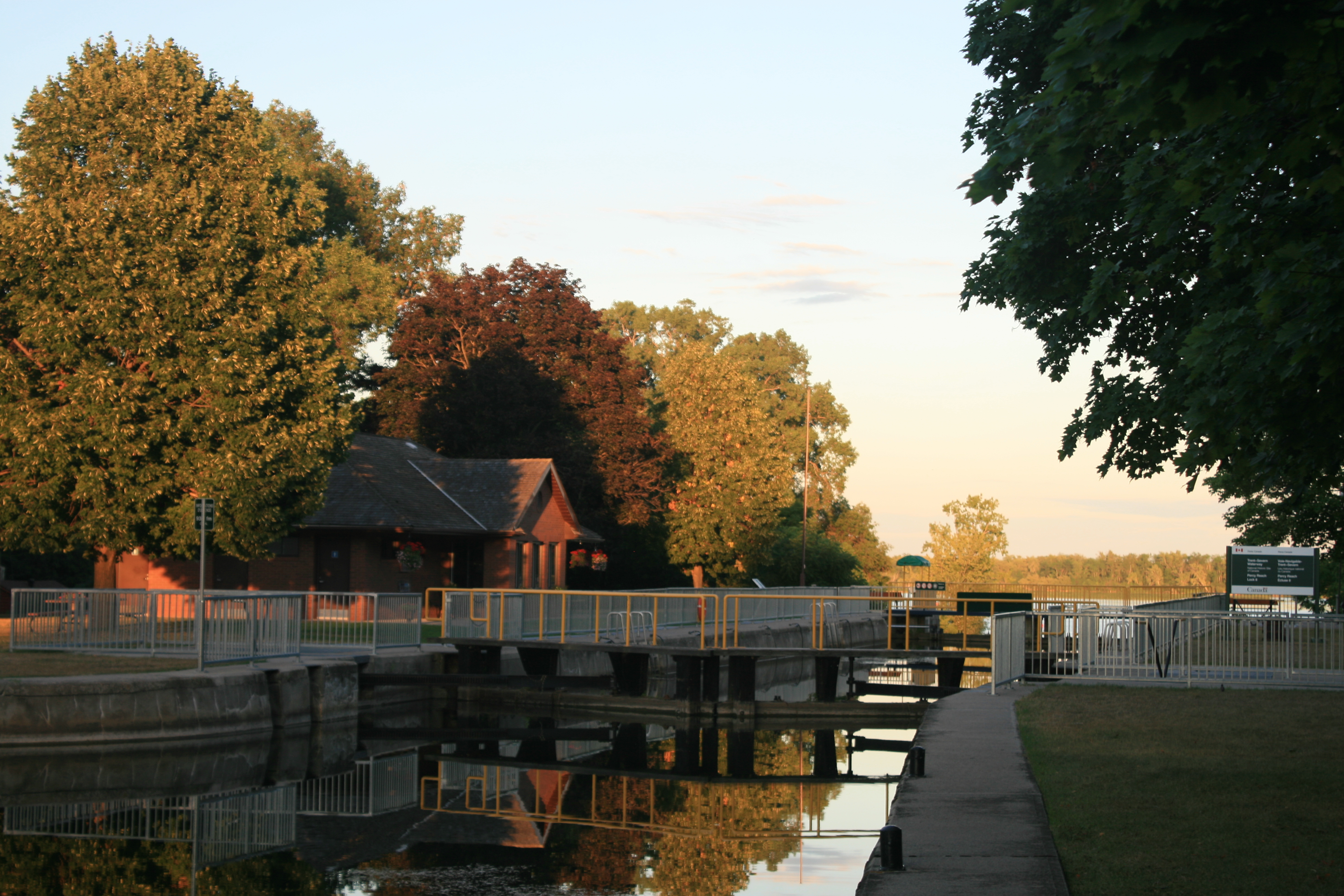
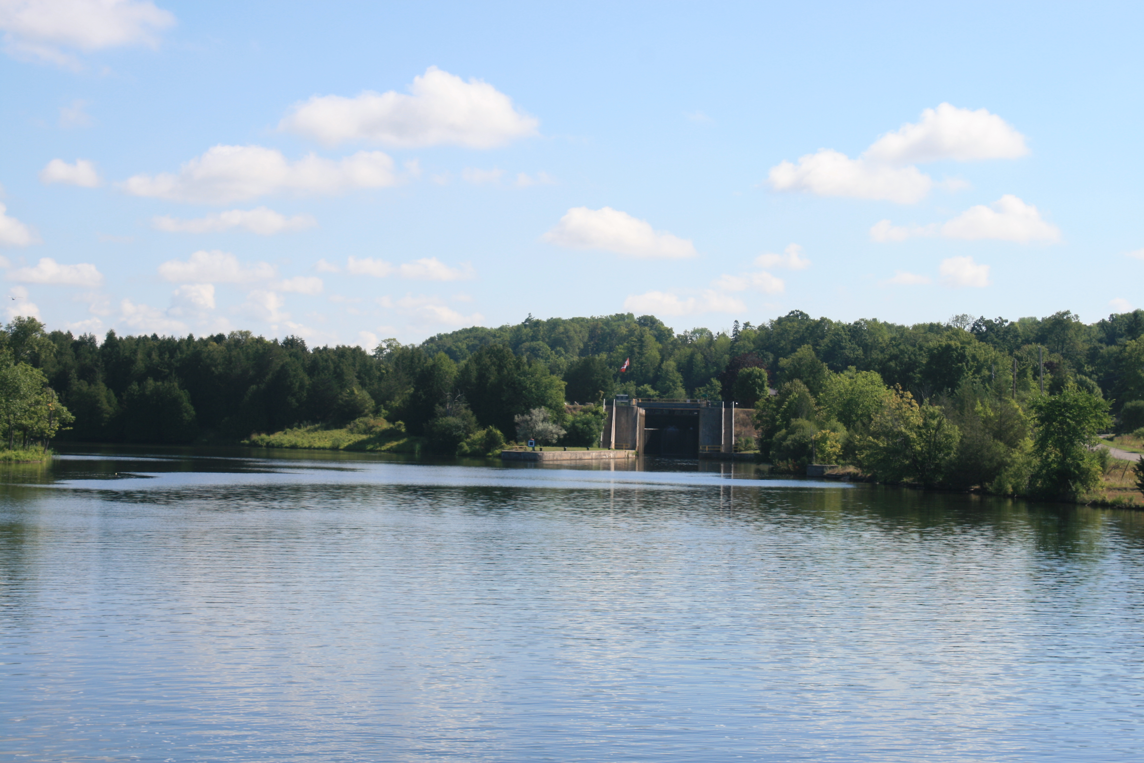
The weather forecast wasn’t good. Strong winds in the wrong direction meant that if we ventured out of the inlet onto Lake Huron the journey to our next stop, Killarney, would be less than pleasant, and possibly even hazardous. So we decided to stay at the marina until Saturday, which meant there was time to get the new panels made for the windows upstairs and do a few other jobs on the boat too.

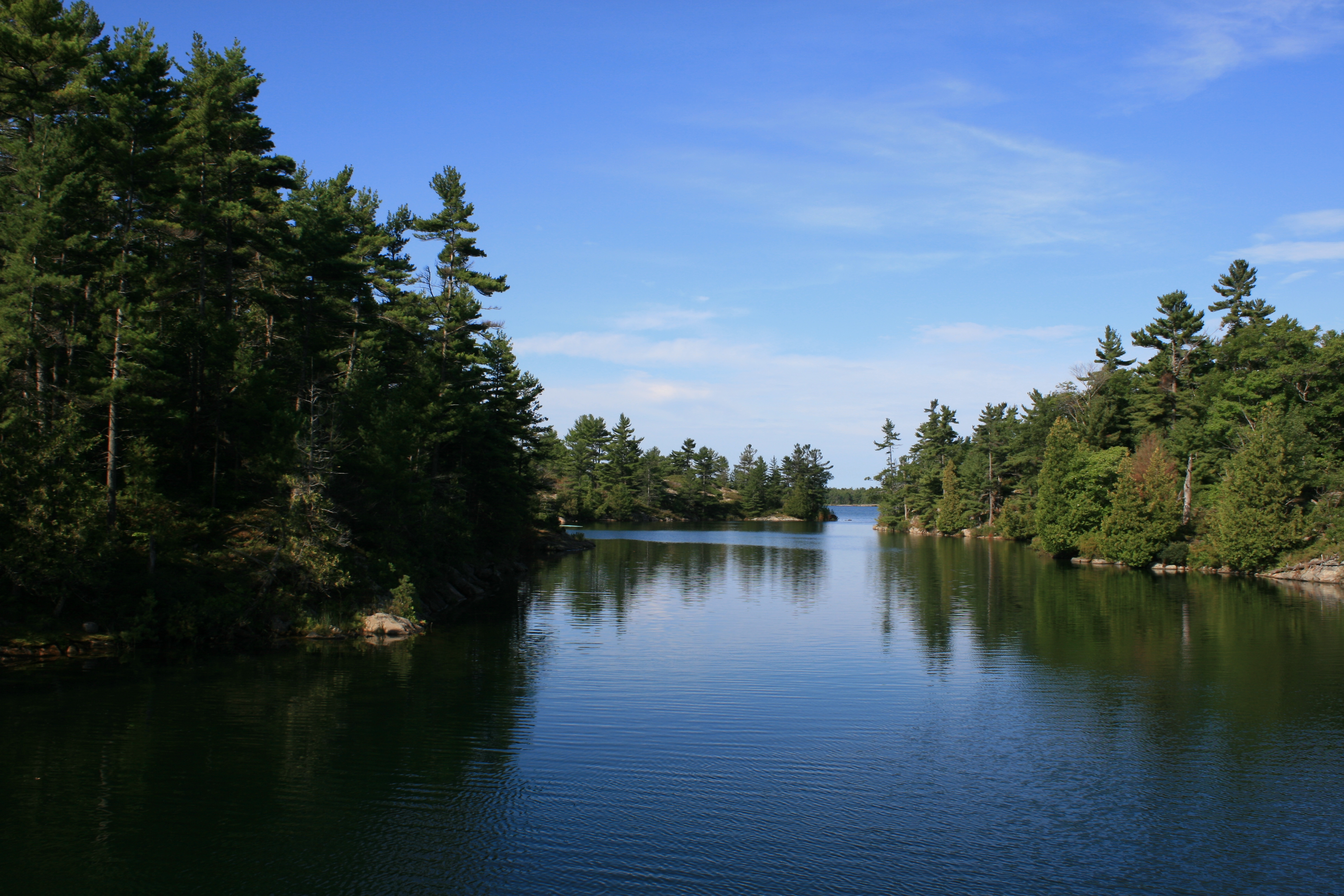
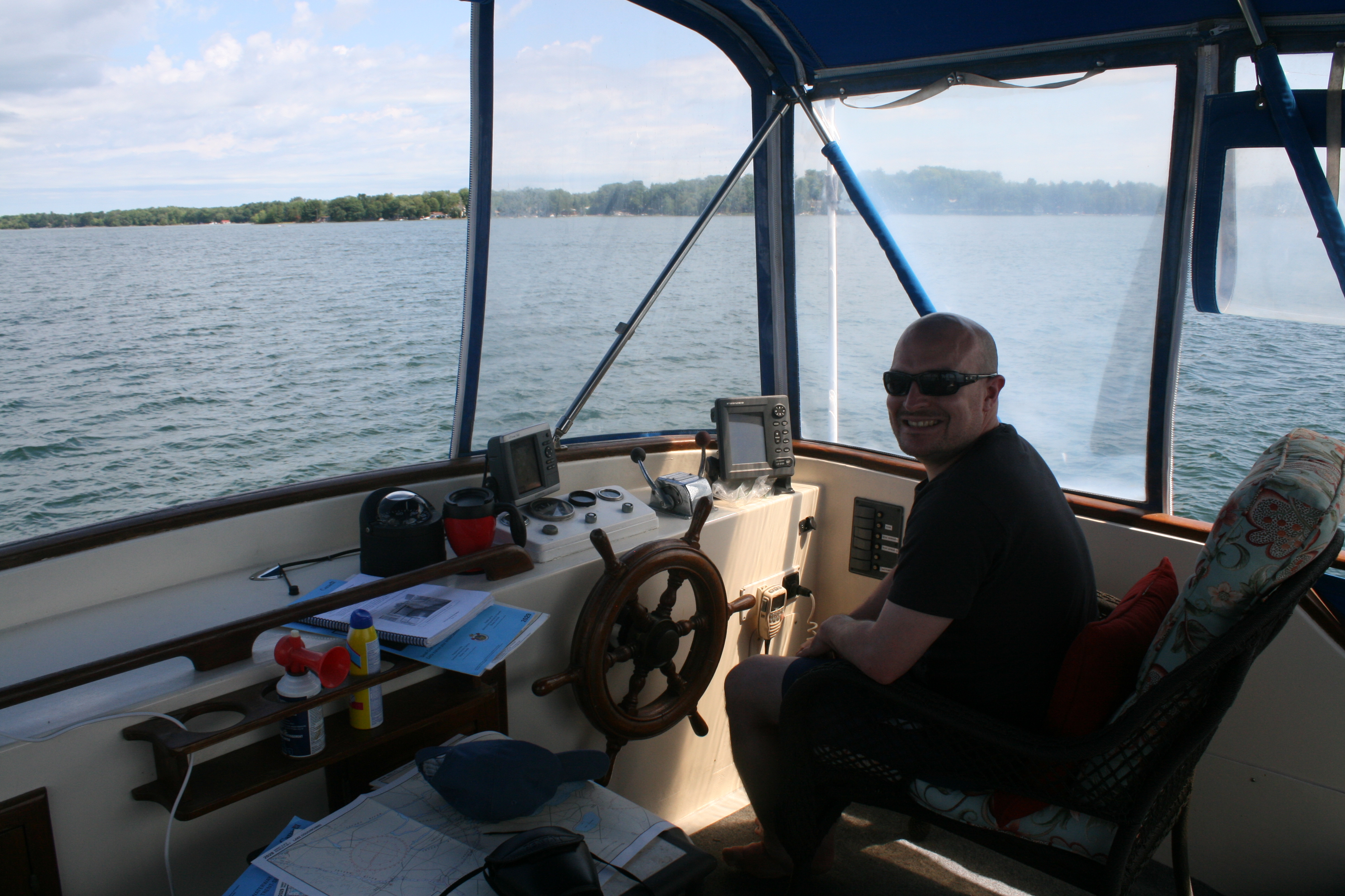
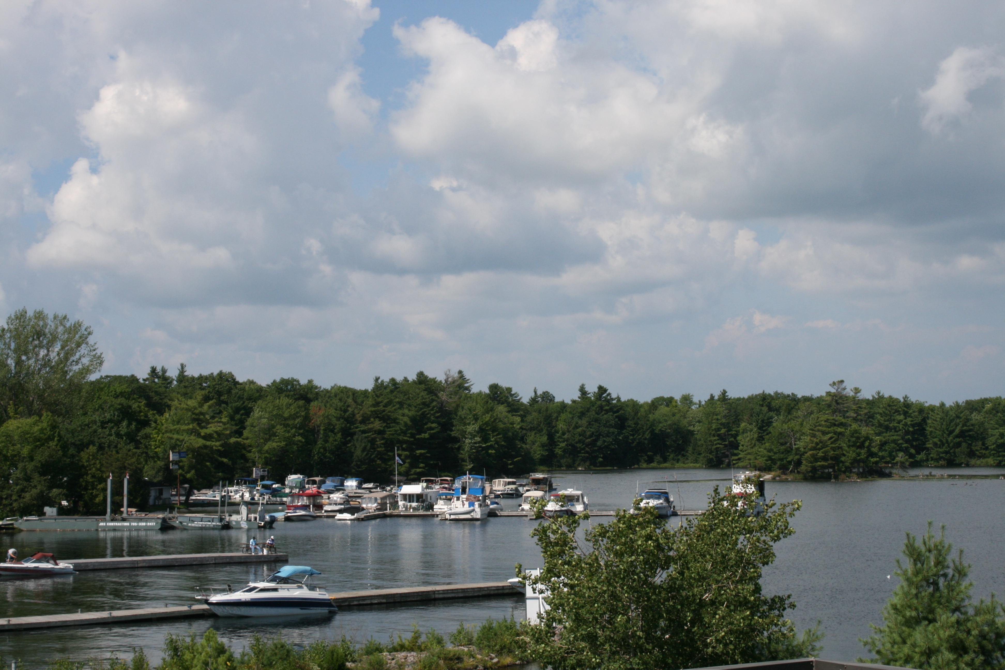
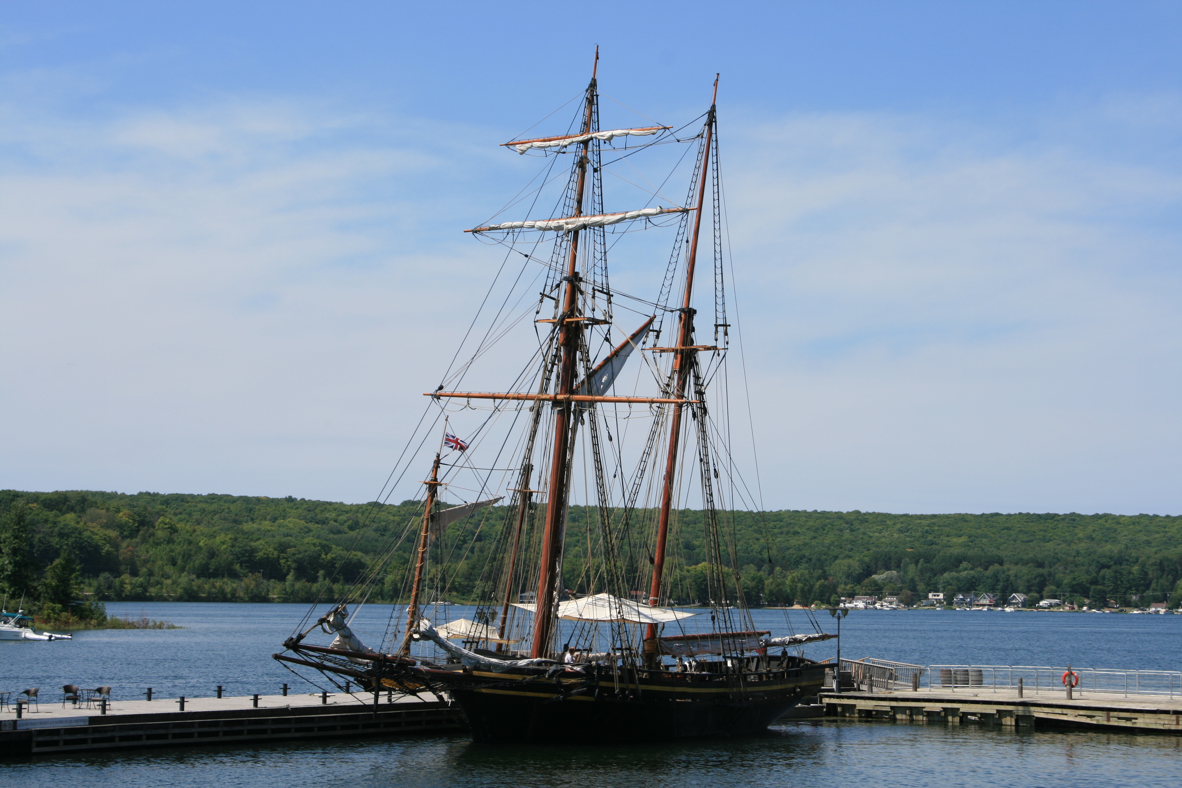
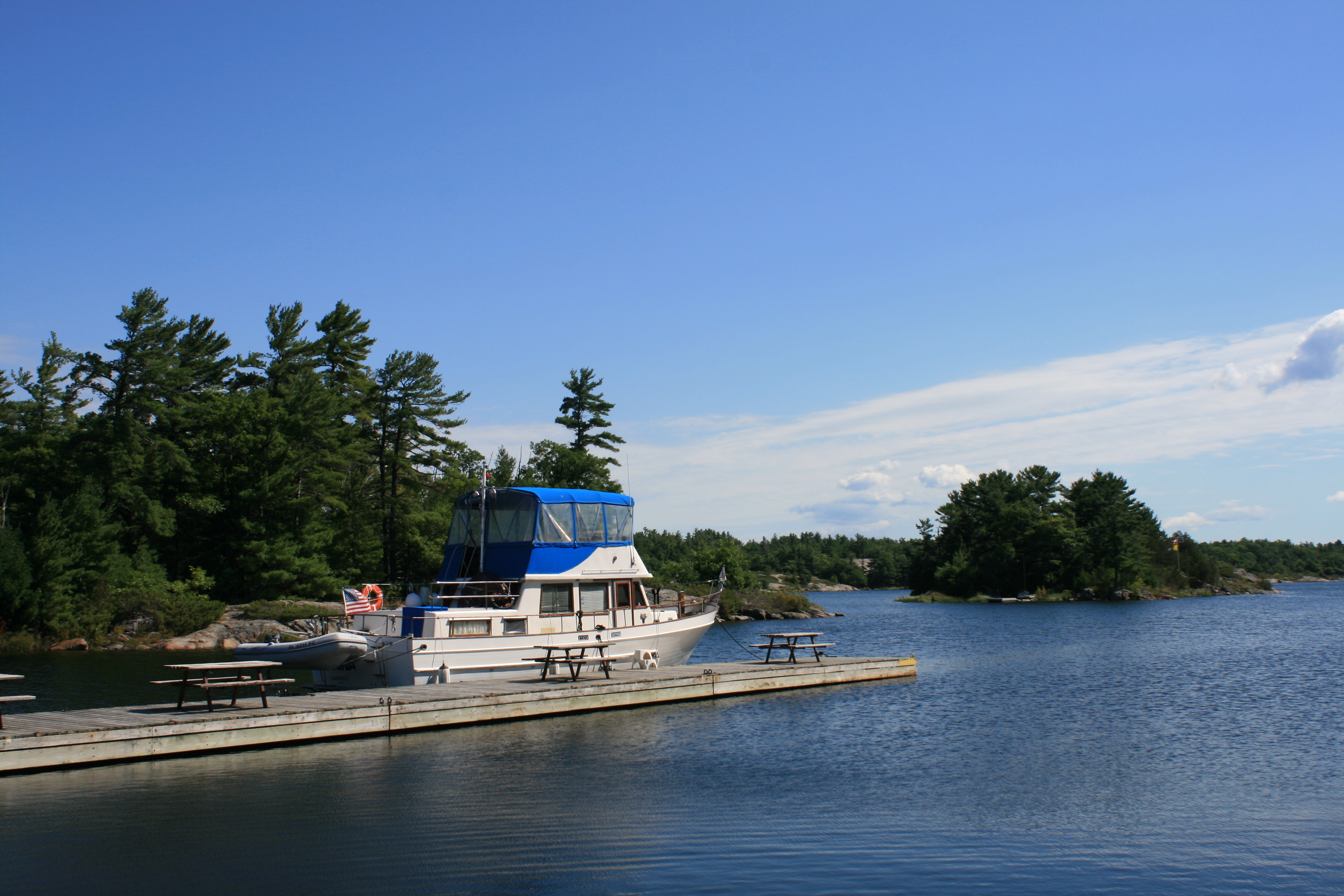
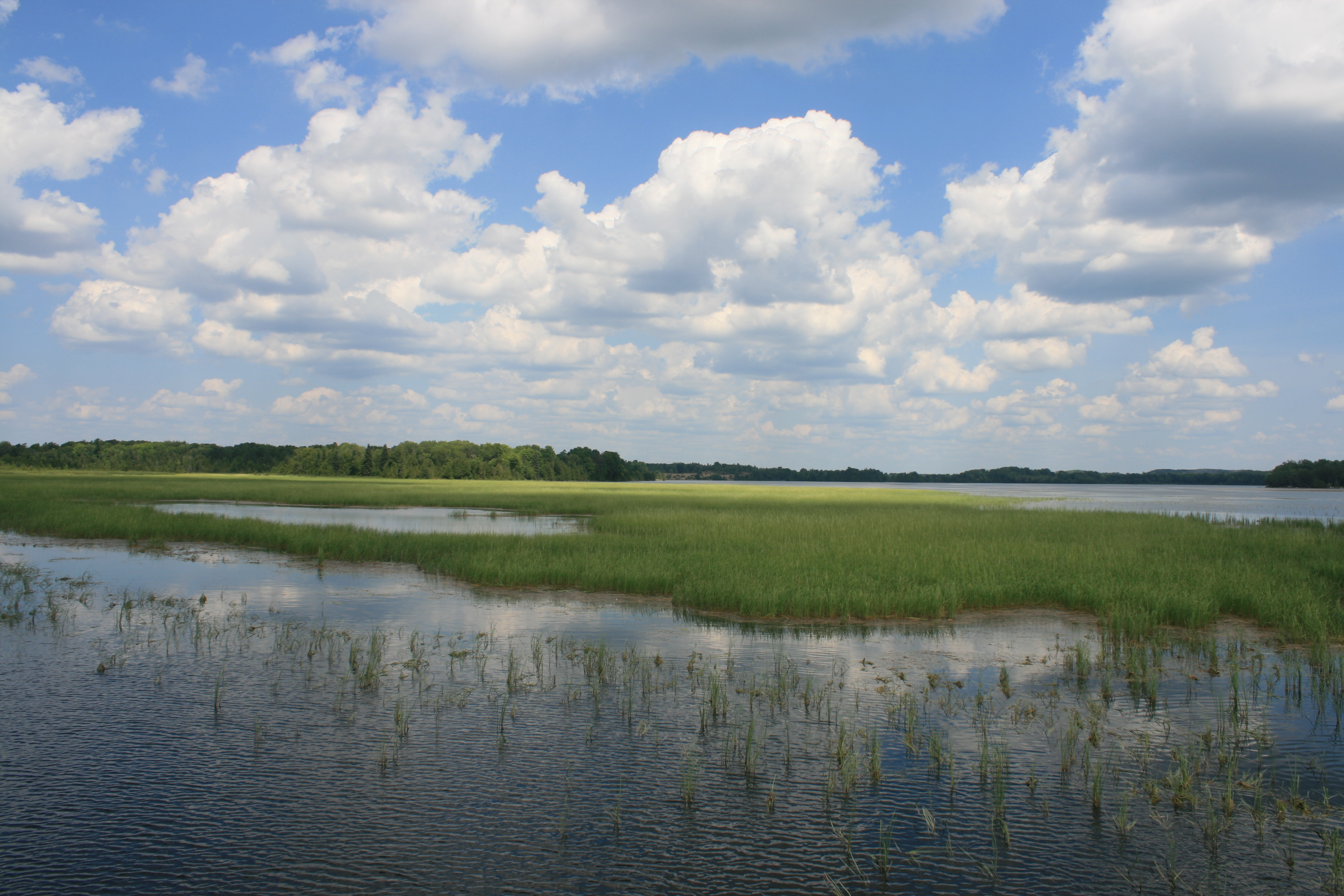
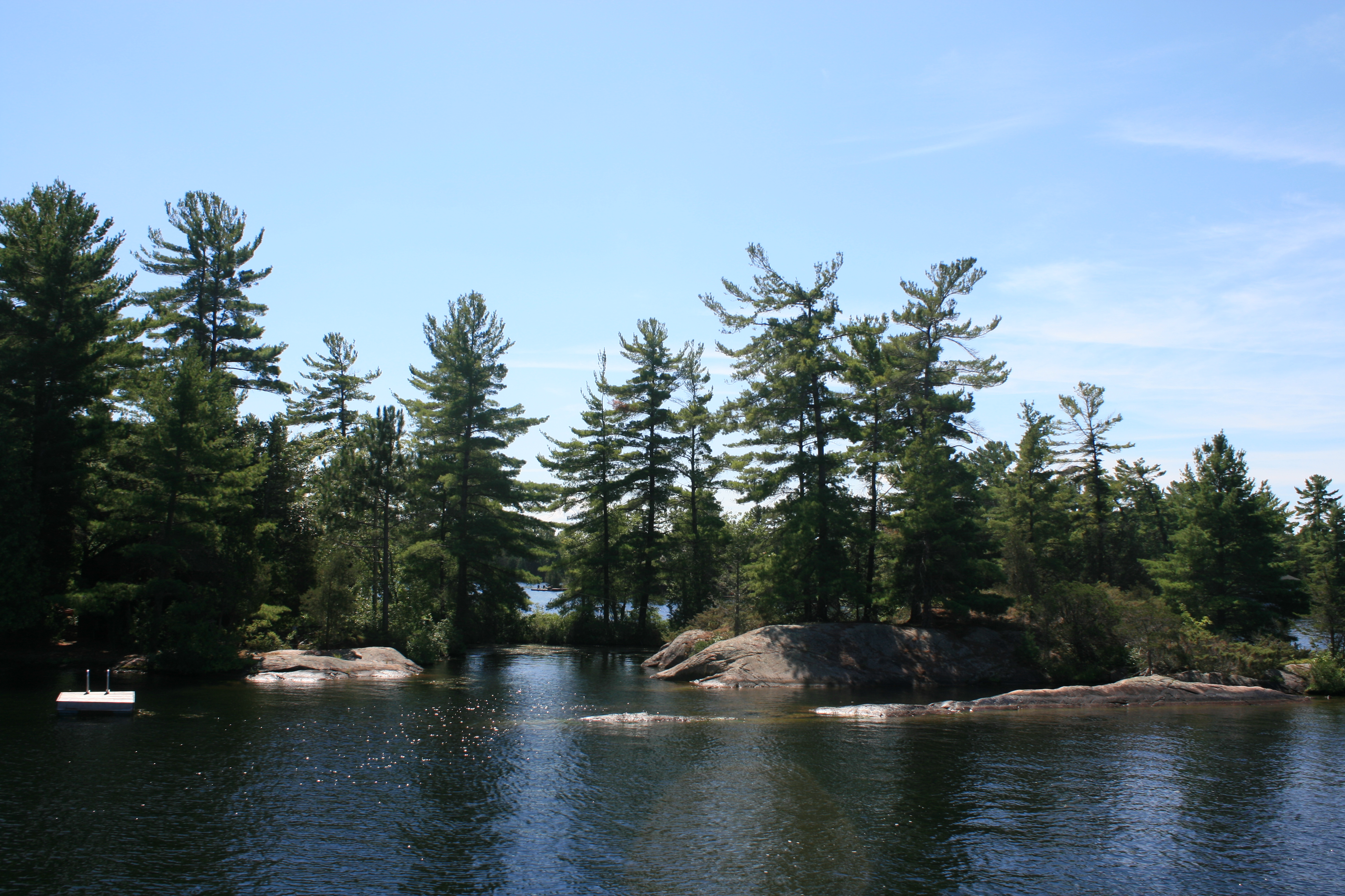
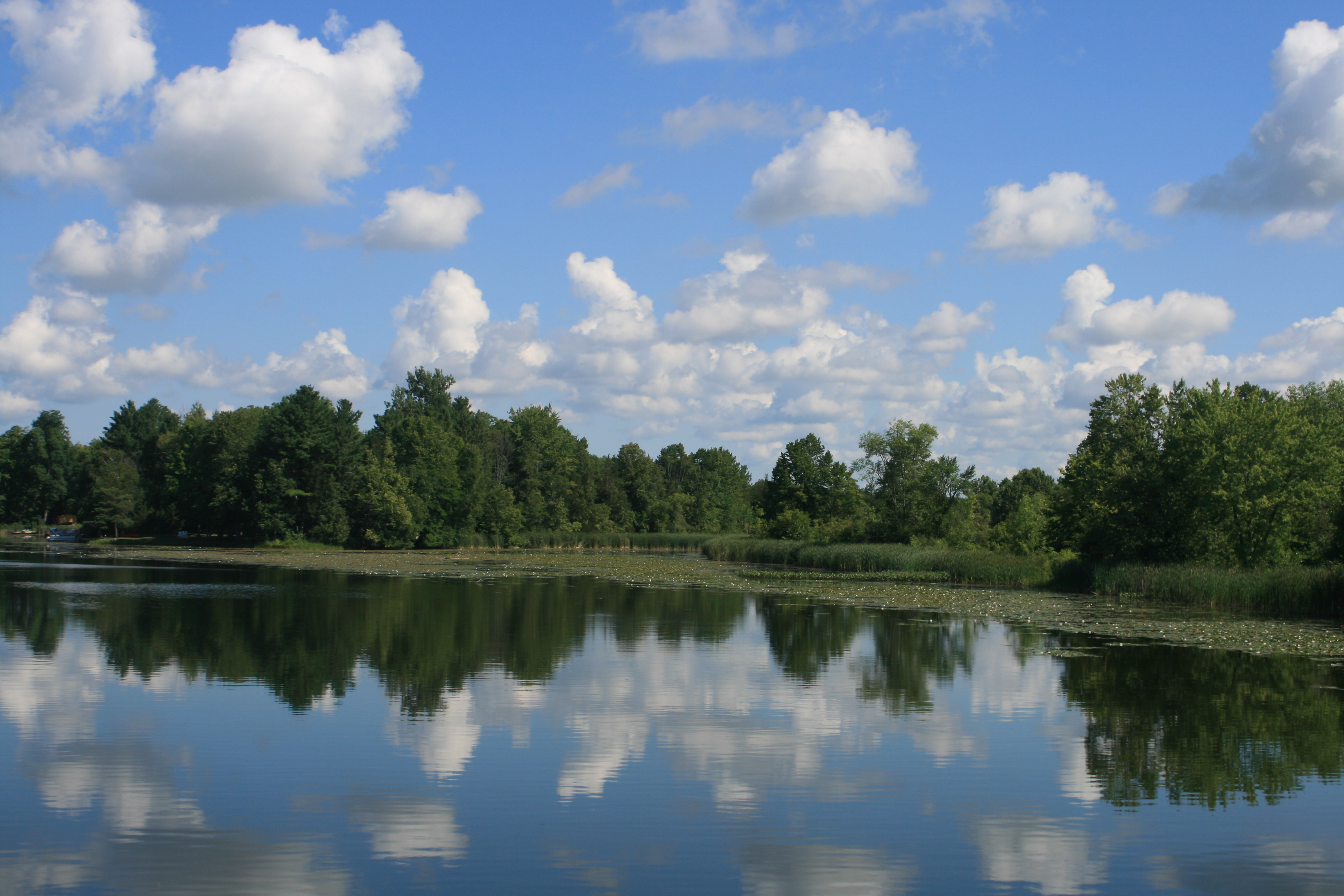
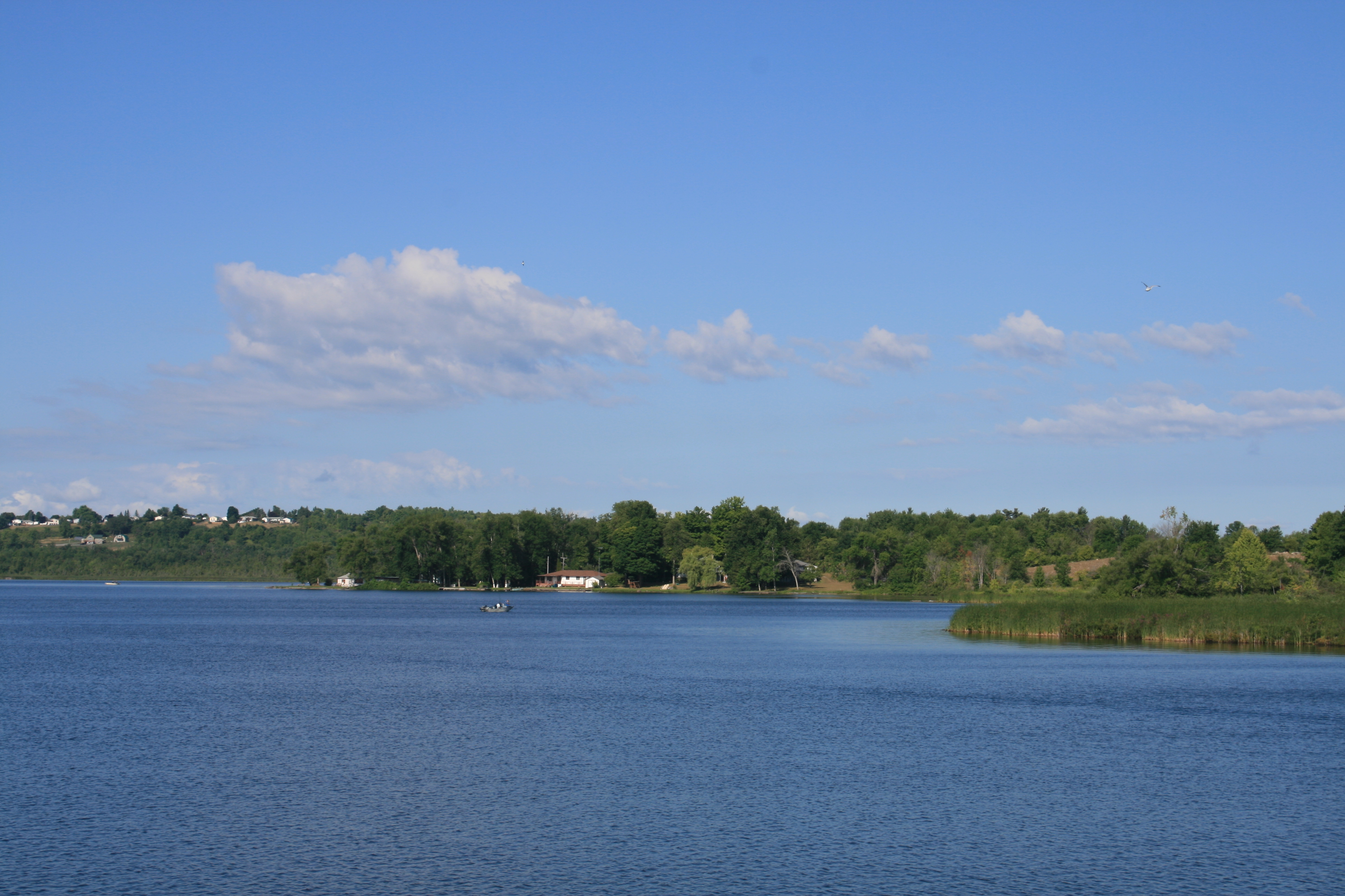
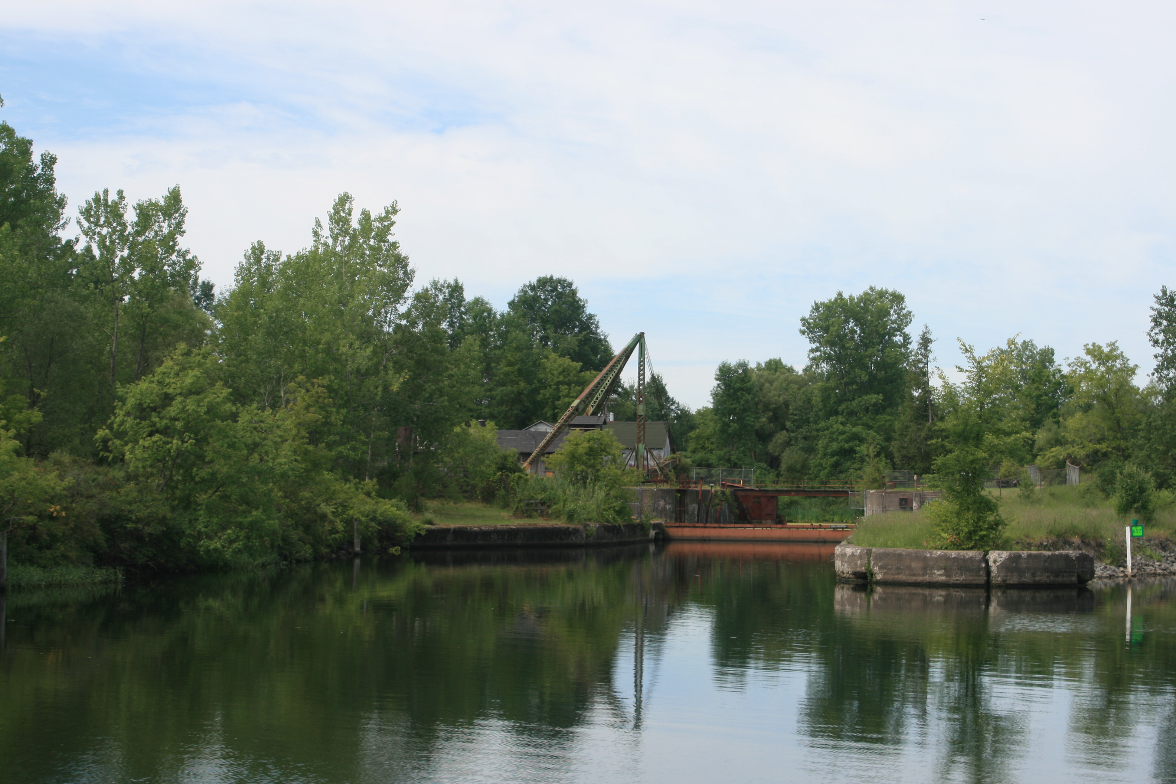
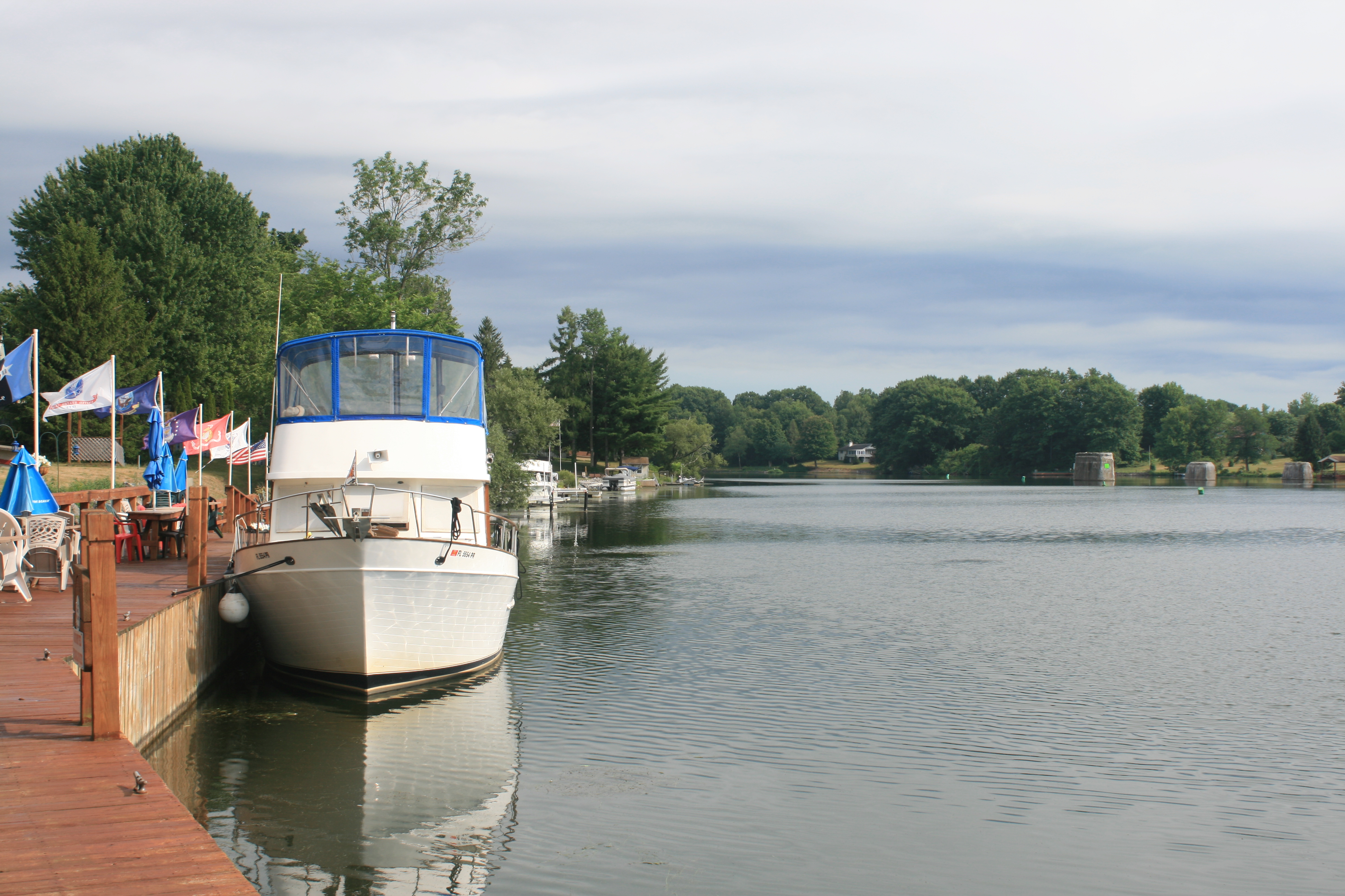
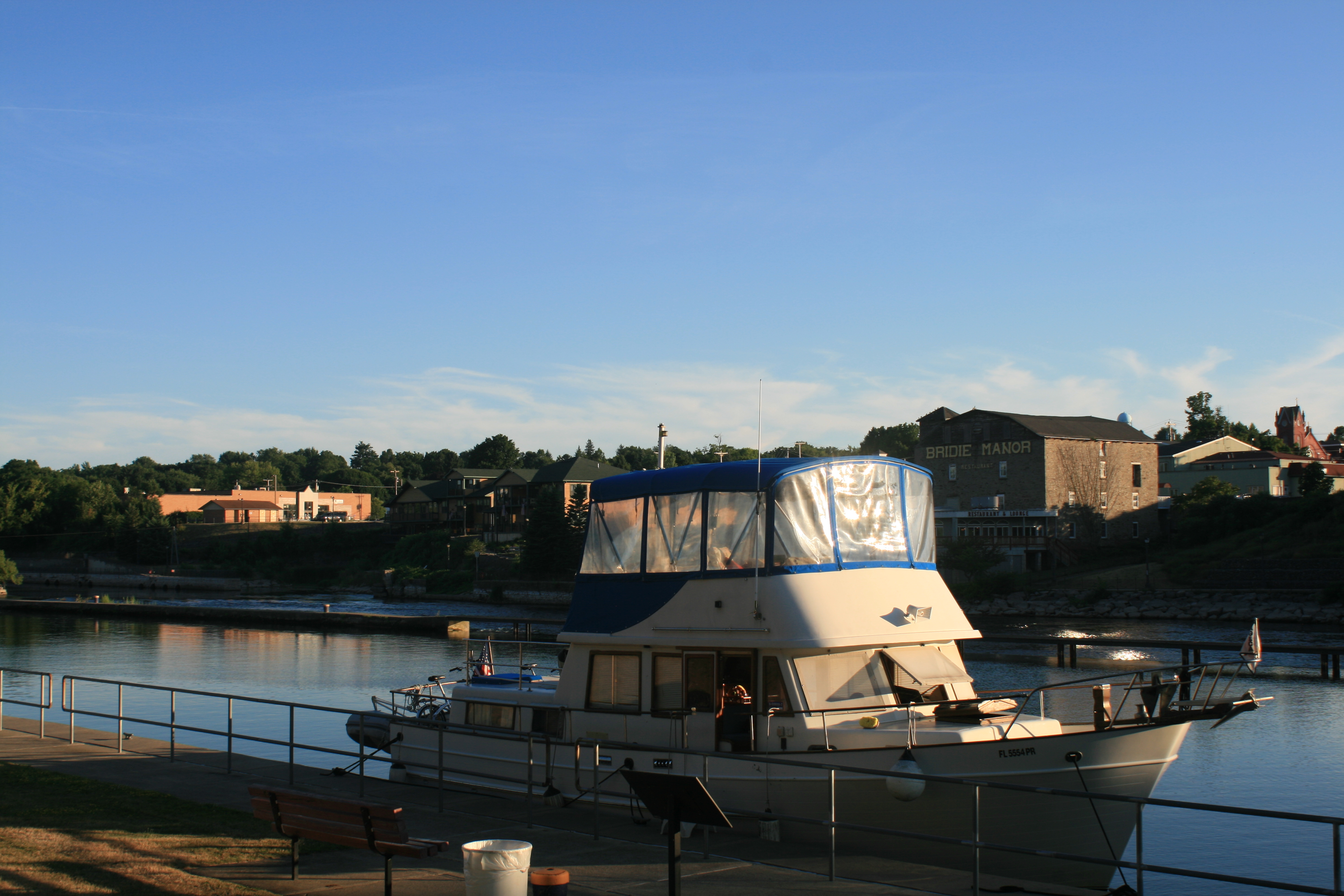
Carina at Wright’s Marina, Britt
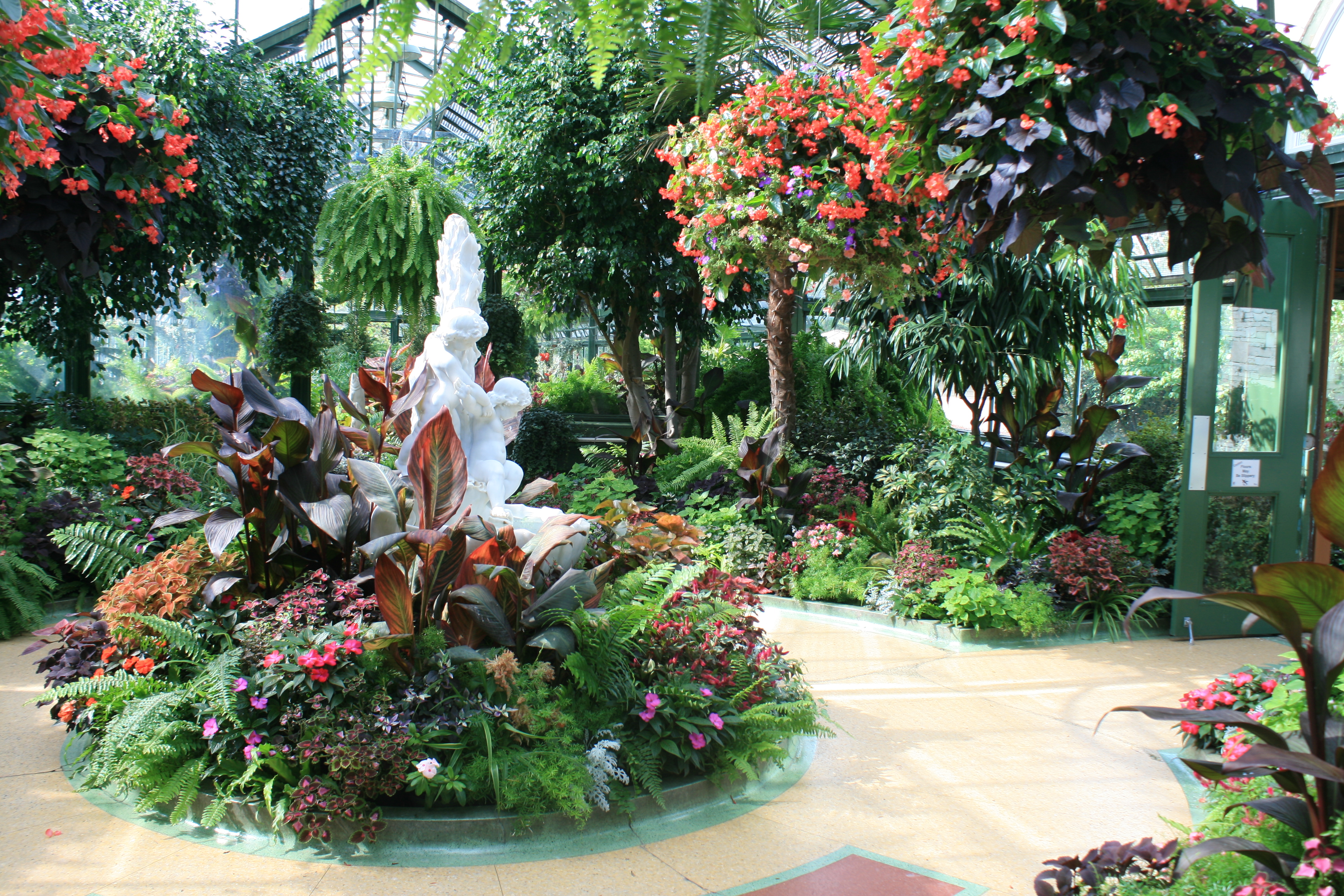
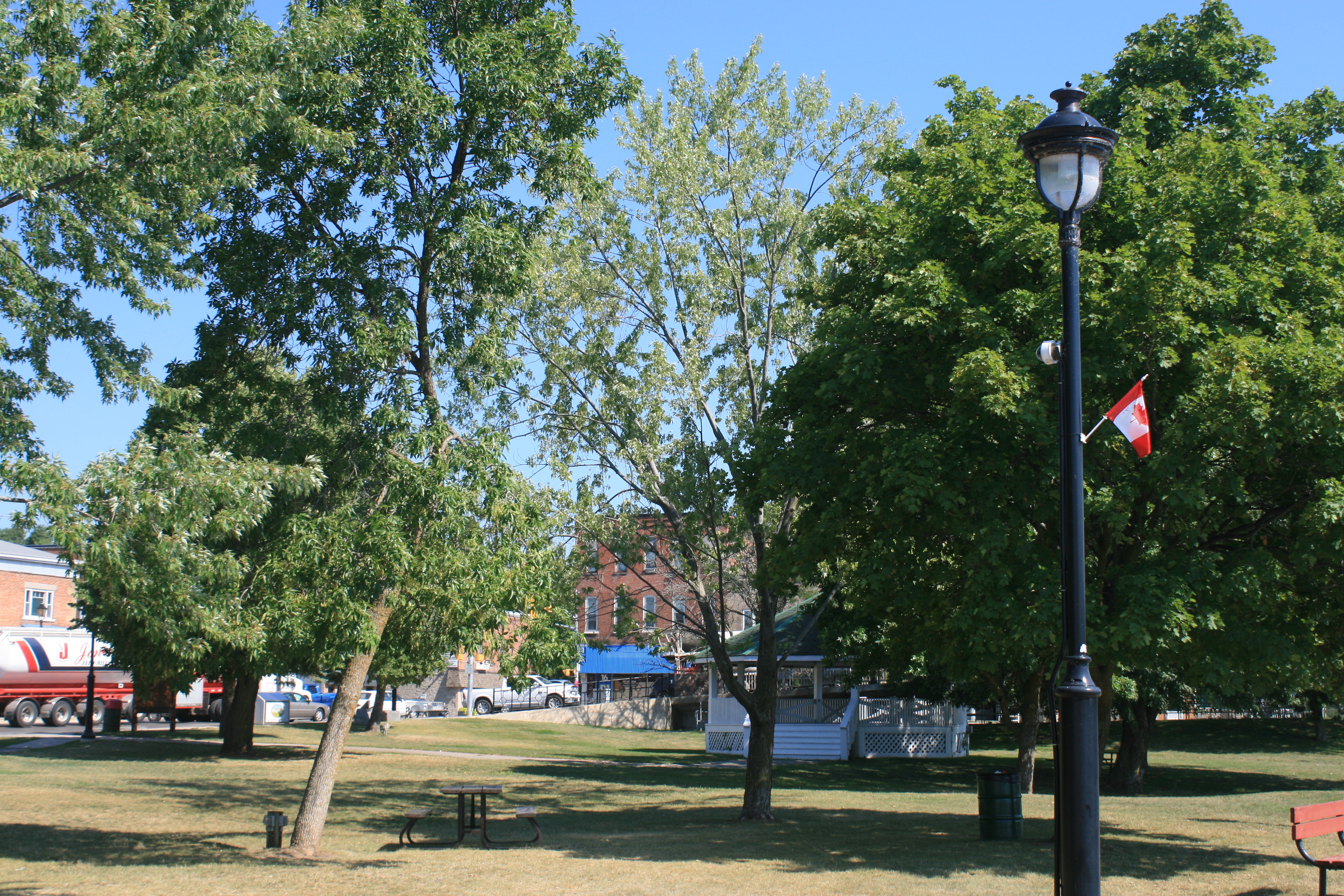
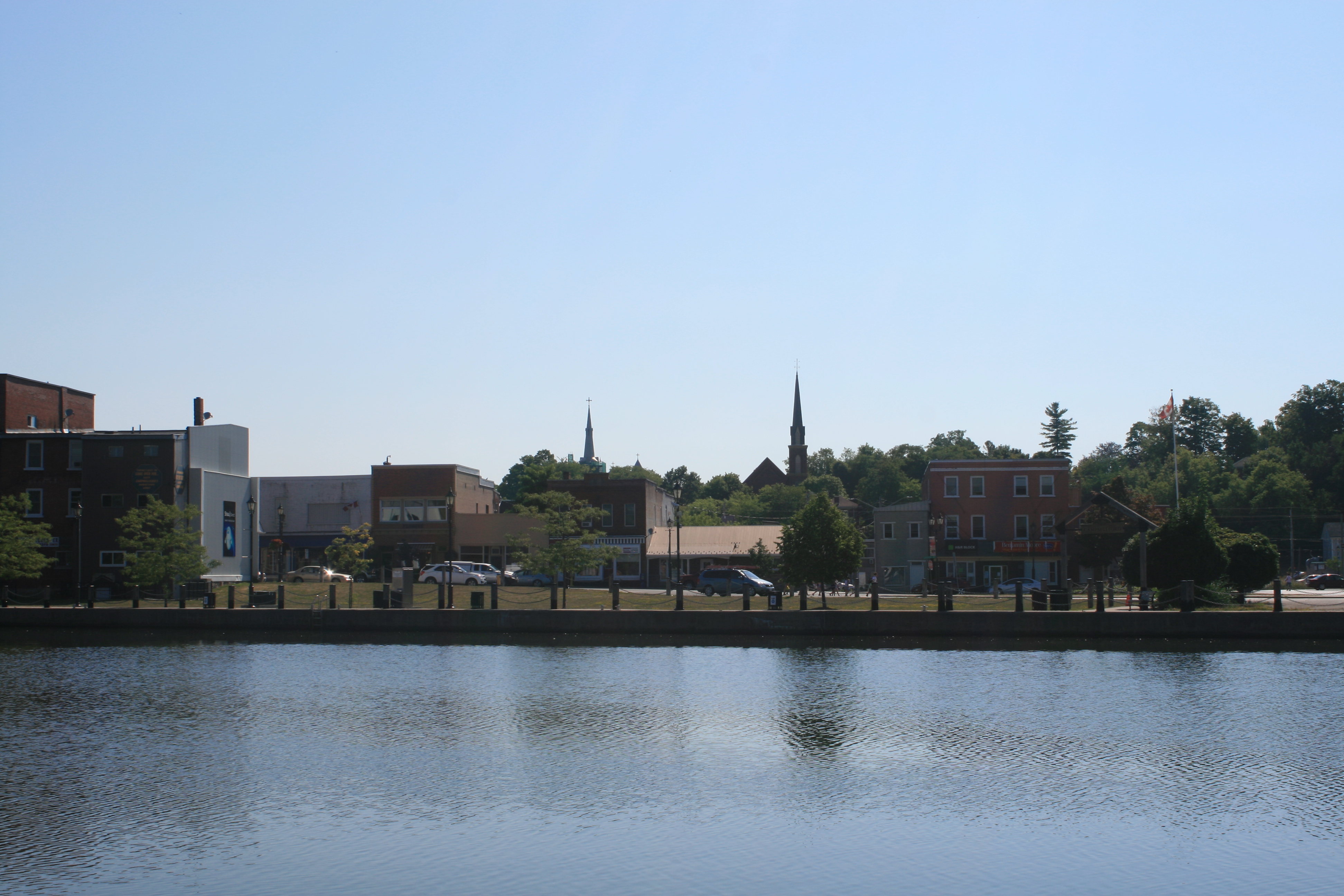
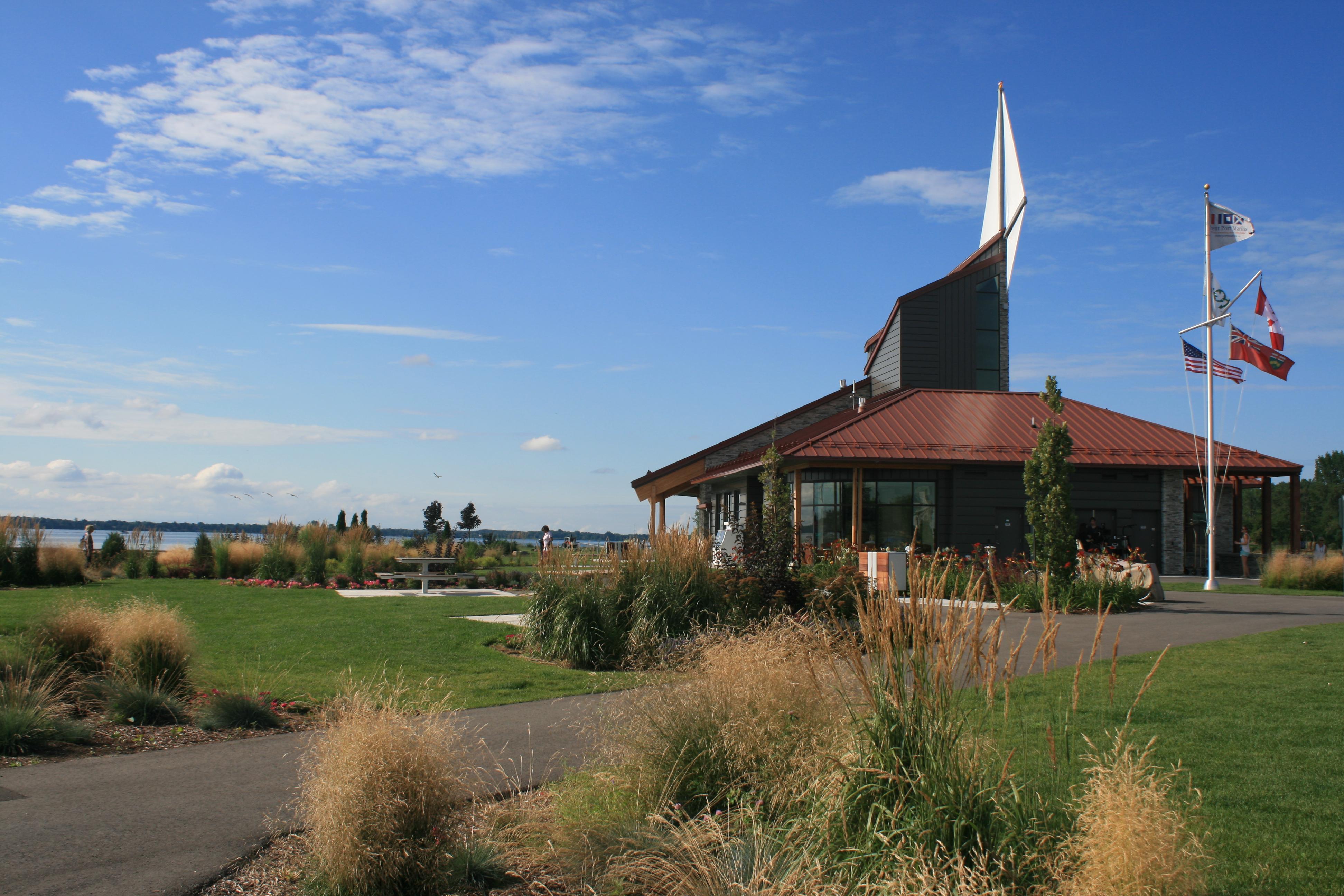
The marina has cars available for boaters to borrow, so on Tuesday we took ourselves off to Sudbury, 50 miles north-west of Britt on the Trans-Canada Highway, to Science North, an interactive science museum just outside the downtown area. It was interesting, but what impressed me most was the story of How Sudbury reclaimed the environment from the barren wasteland it had become after decades of mining and smelting had made the soil for miles around so acidic that nothing would grow, and changed it to the green landscape you see today.
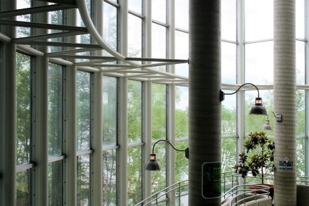
The spiral staircase provides access to the different levels at Science North
You can actually walk around inside the butterfly house with exotic butterflies everywhere.

Succulents in the butterfly house

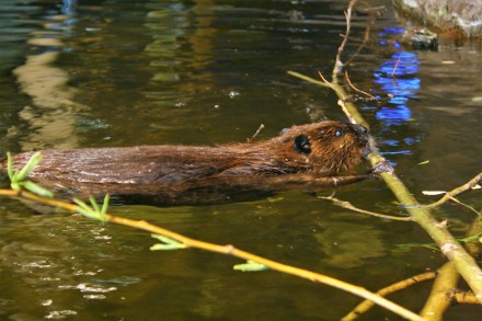
Kash the beaver
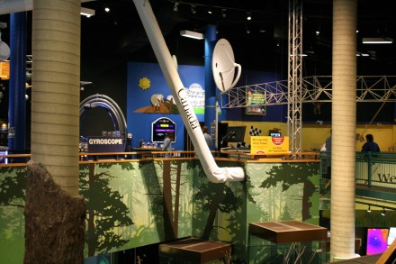
cyber section
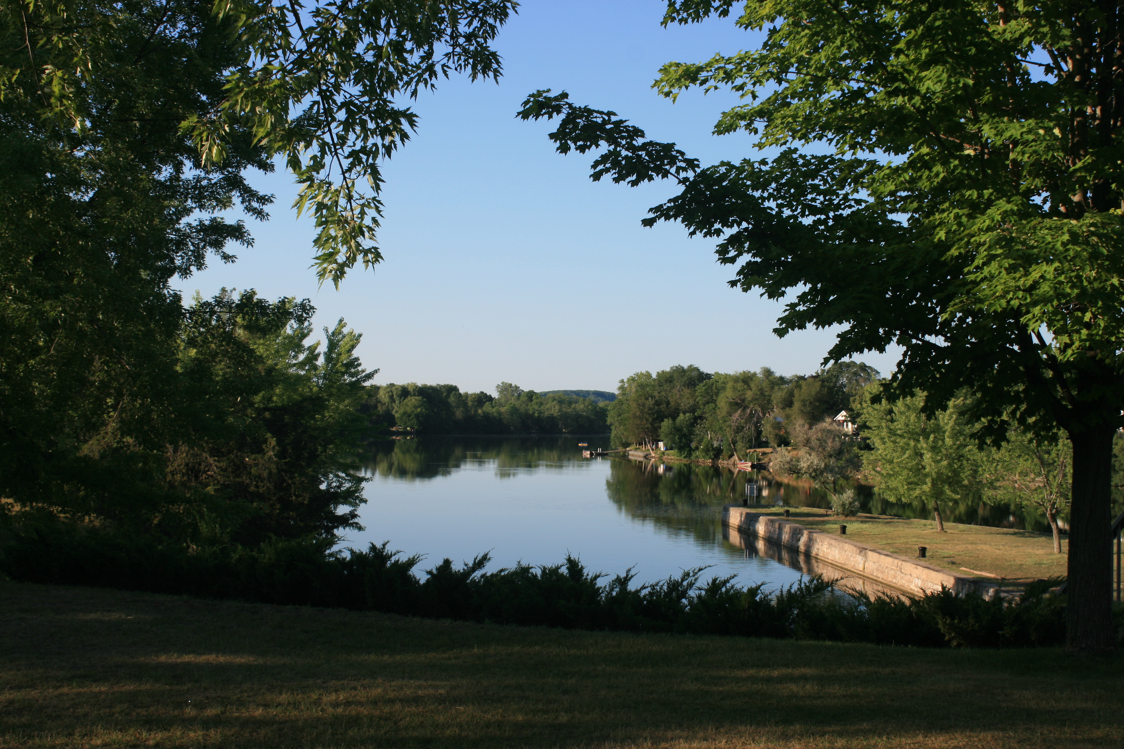
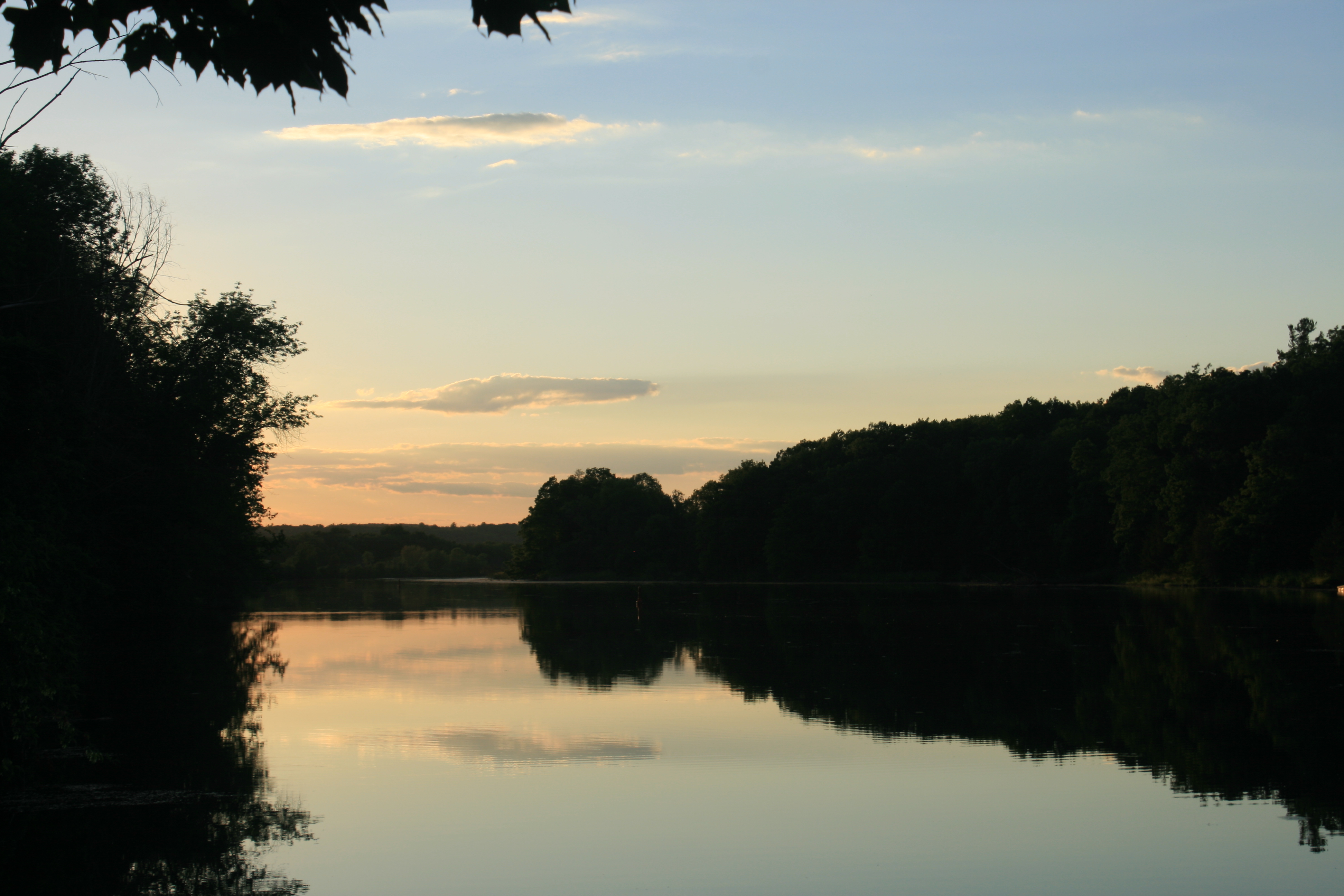
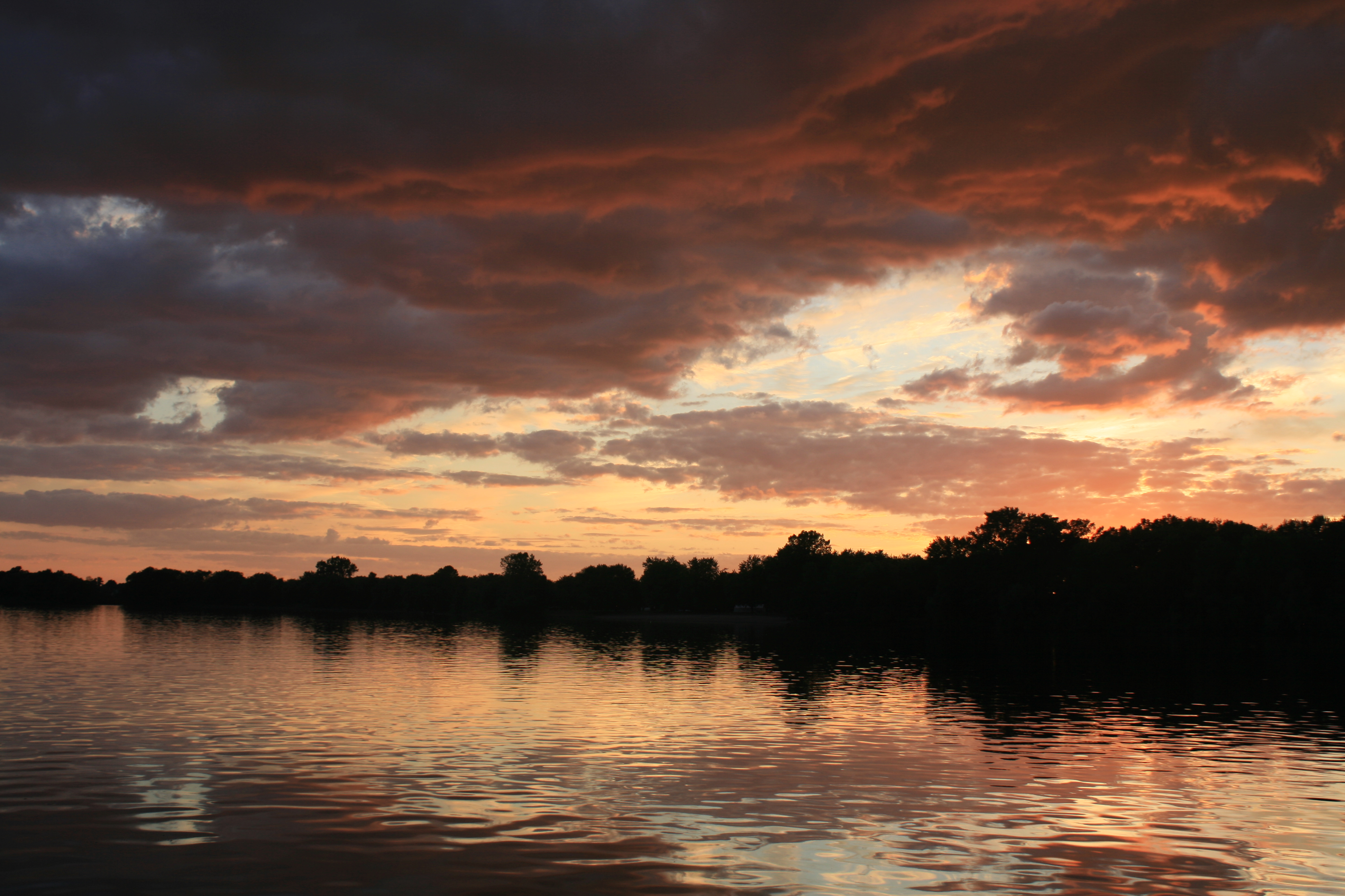
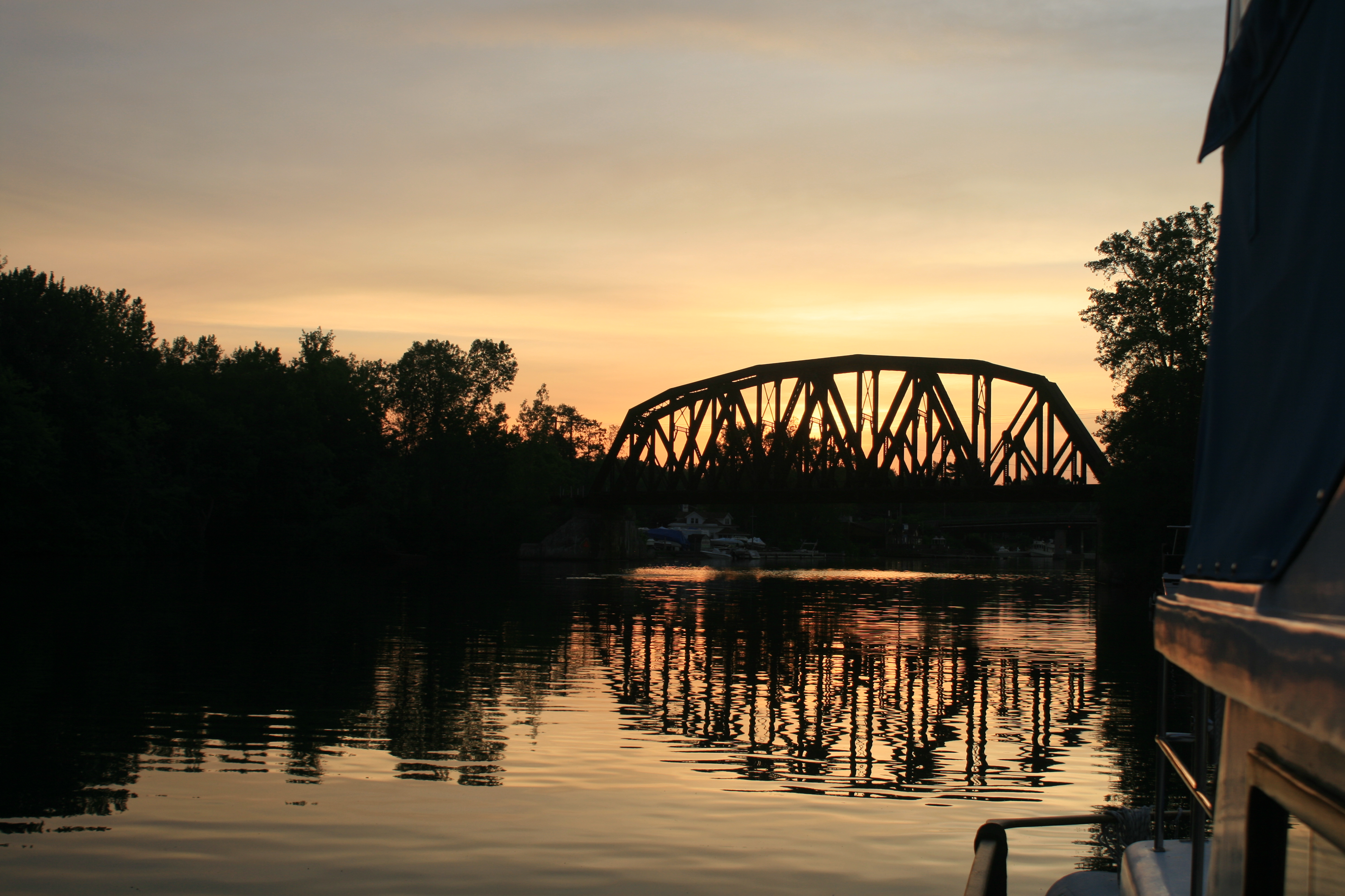
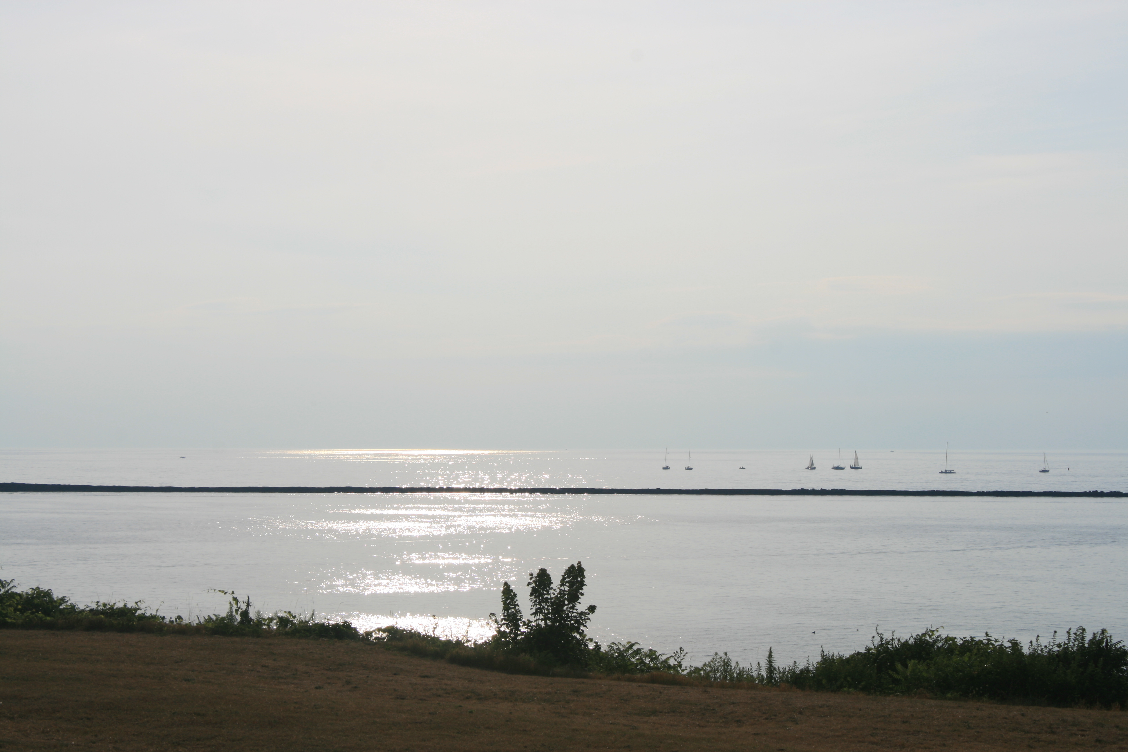
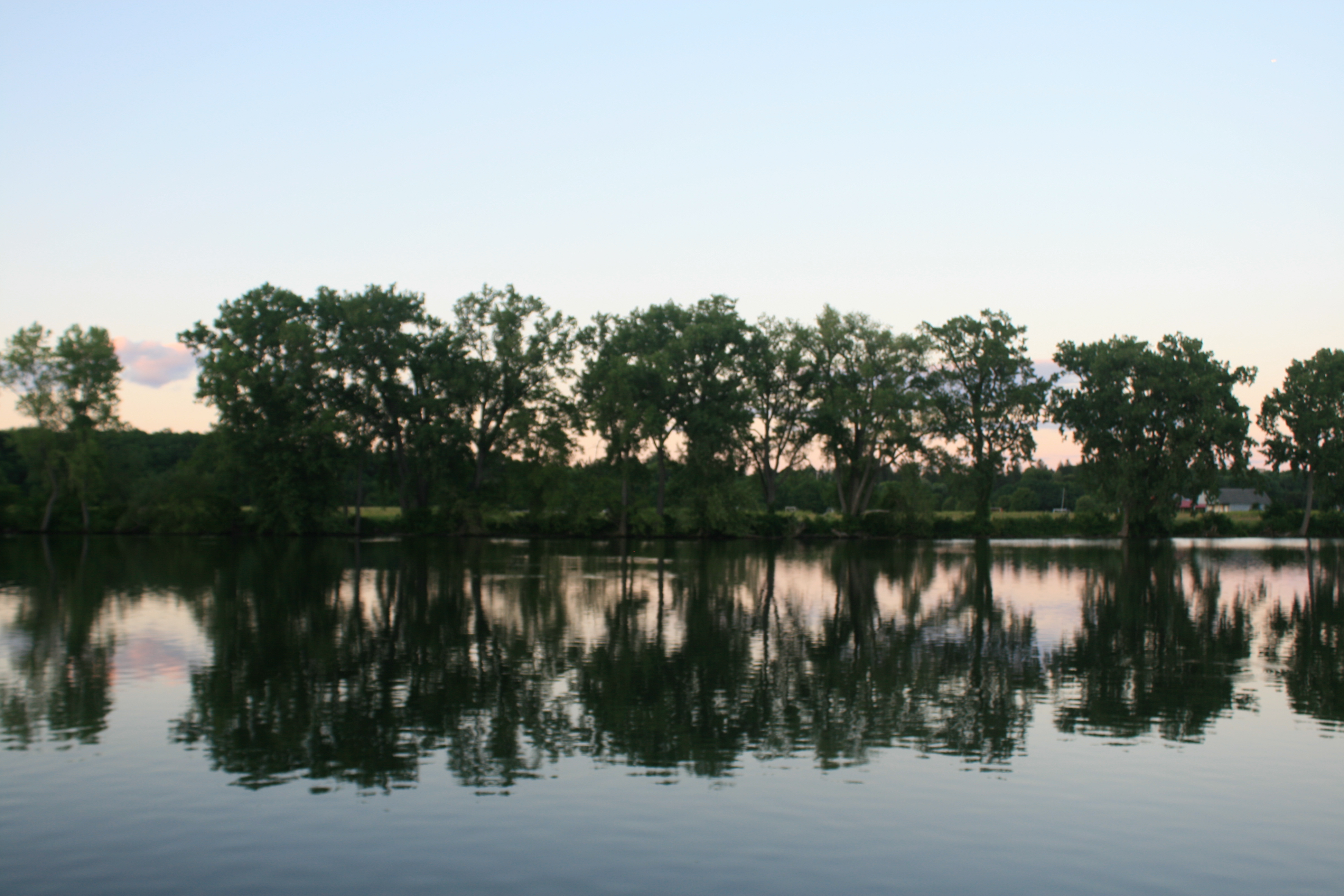
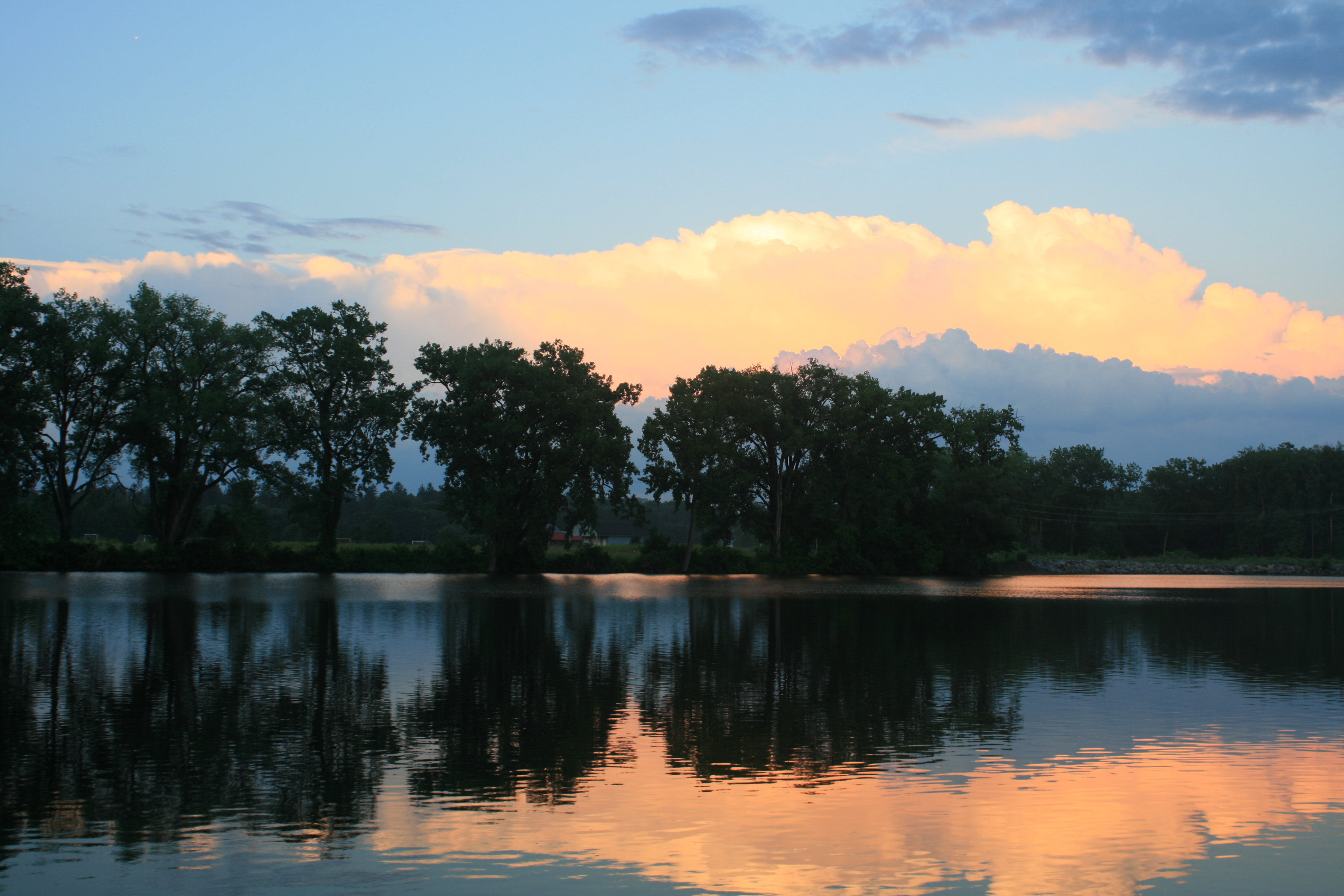
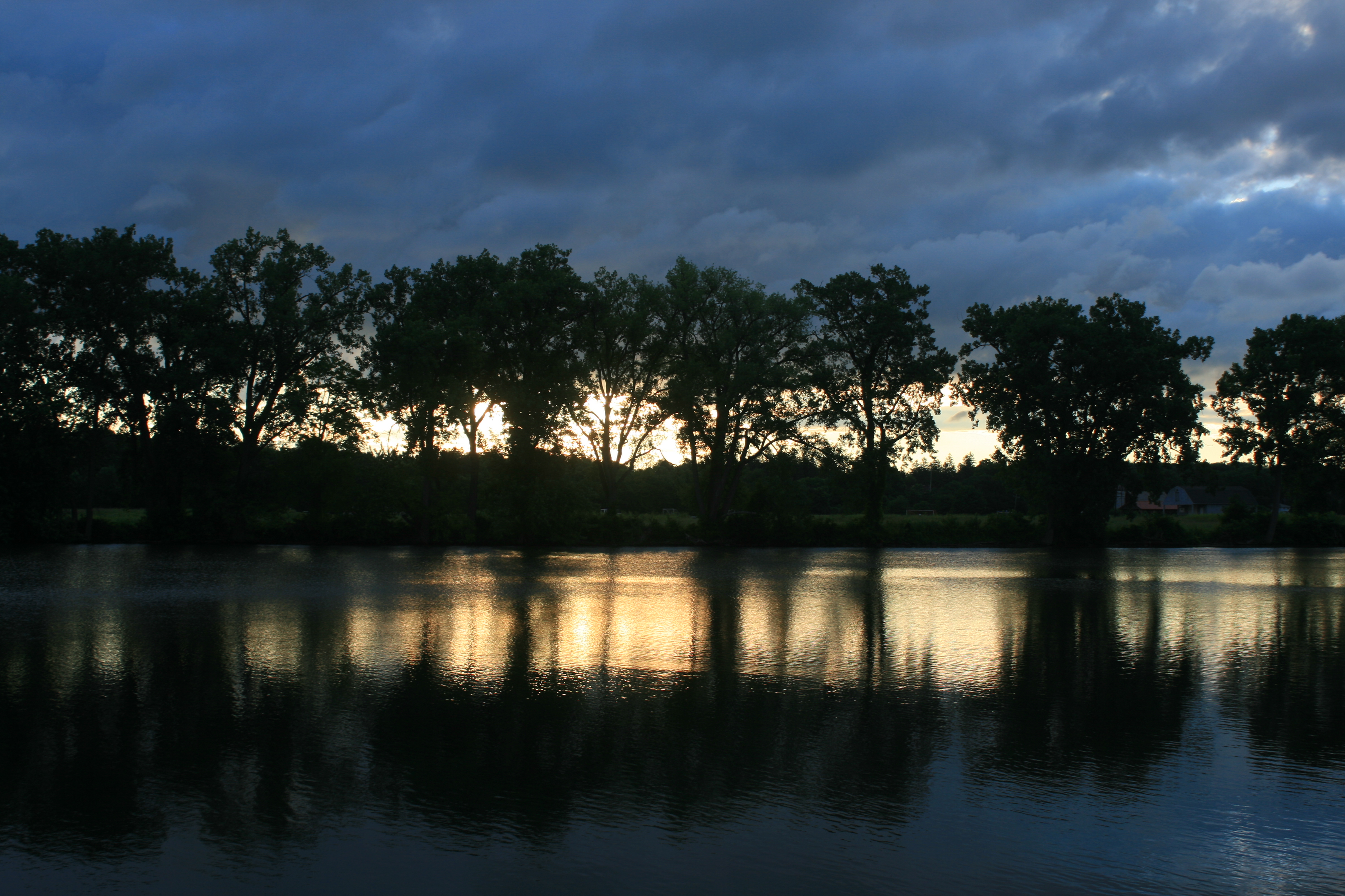
The weather continues to alternate between sunshine, wind and rain. Last night we were eating dinner on Carina, with storm clouds gathering. The setting sun suddenly came out and illuminated the inlet, and I dashed out with my camera.

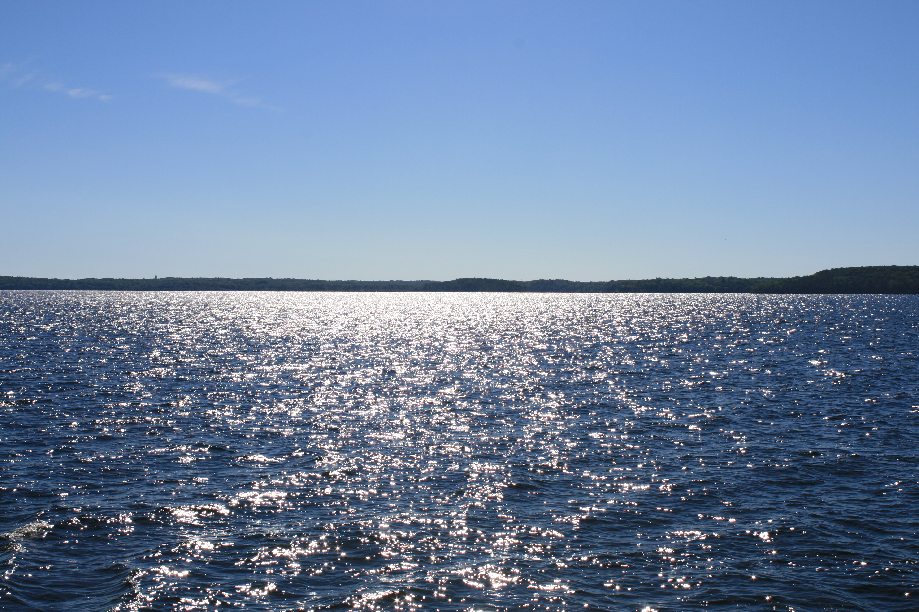
The setting sun lights up the storm clouds – looking east from our dock at Wright’s Marina