Something that had puzzled us since we arrived in Canada was the frequent reference to ‘loonies’. We imagined that they were some sort of token, as there would be notices saying ‘loonies only’ in places like laundromats. A lady in the laundromat at Fenelon Falls enlightened us. Loonies are dollar coins, with the Queen on the front and a loon, an aquatic diving bird, on the back.
‘Of course, we have toonies too,’ she told us. ‘The two-dollar coin. They have a bear on the back, so we say they have the Queen on the front, with a bear behind.’
It was our first sample of Canadian humour and it felt just very slightly disloyal, to be laughing at our monarch’s expense.
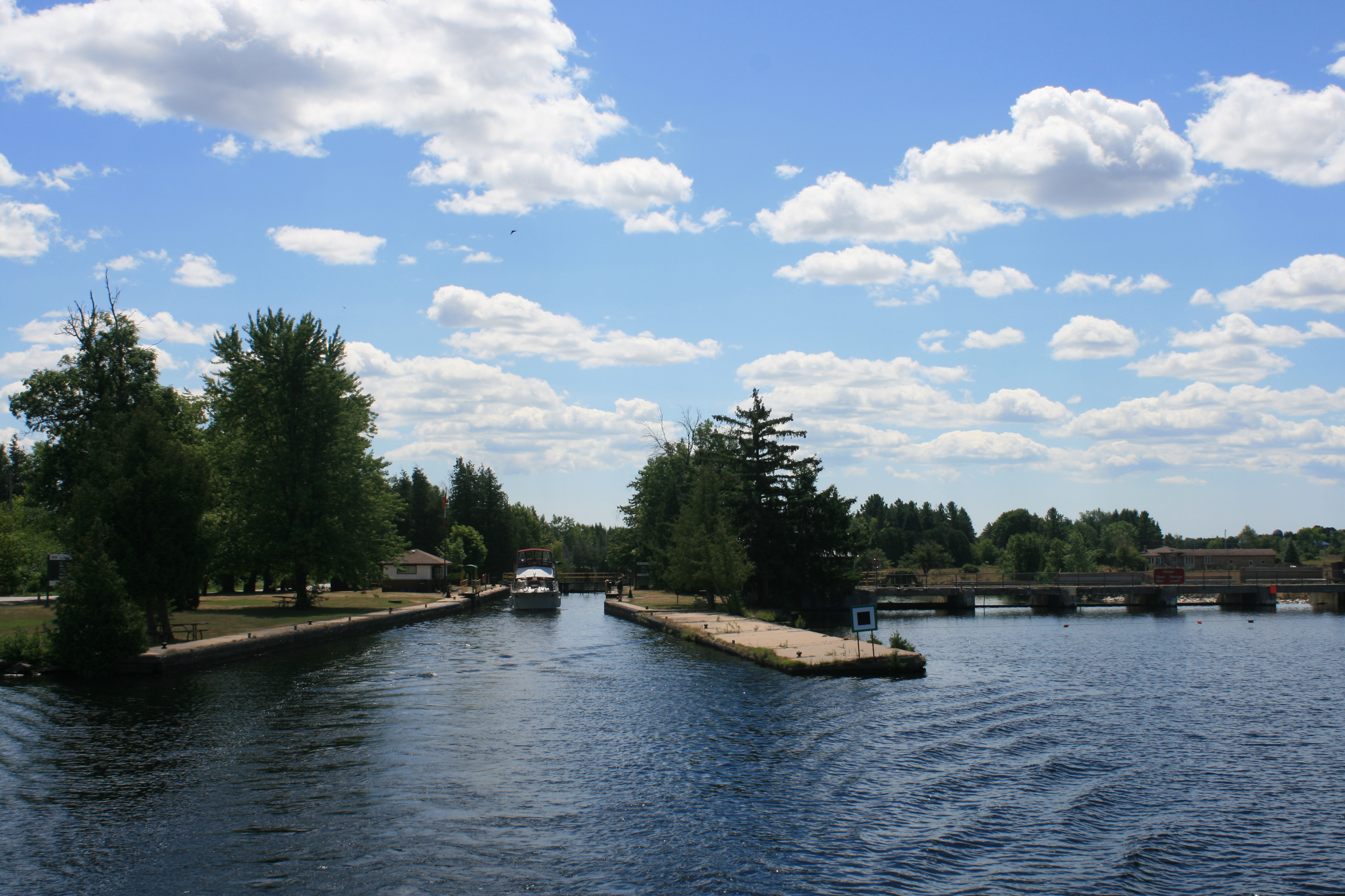
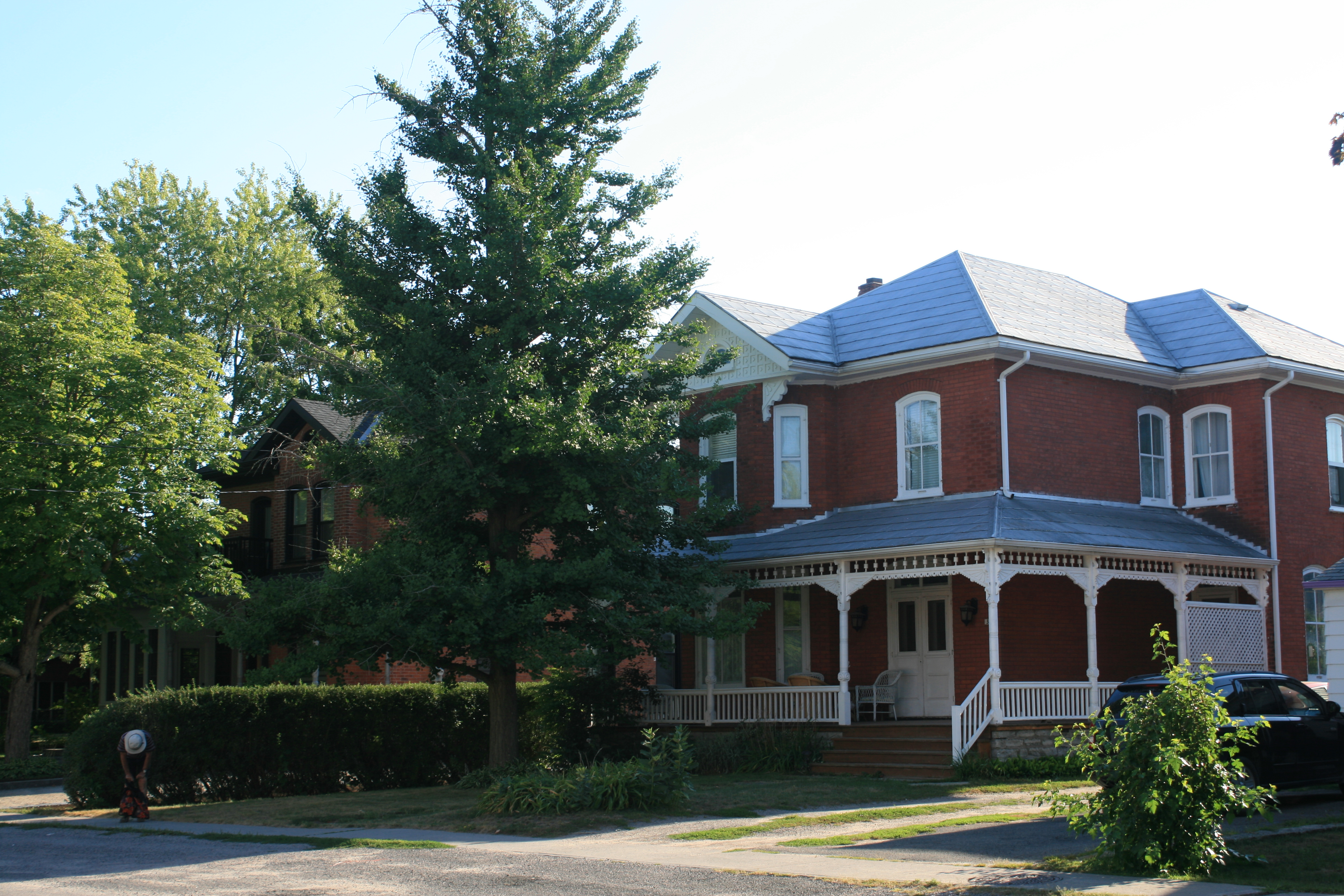
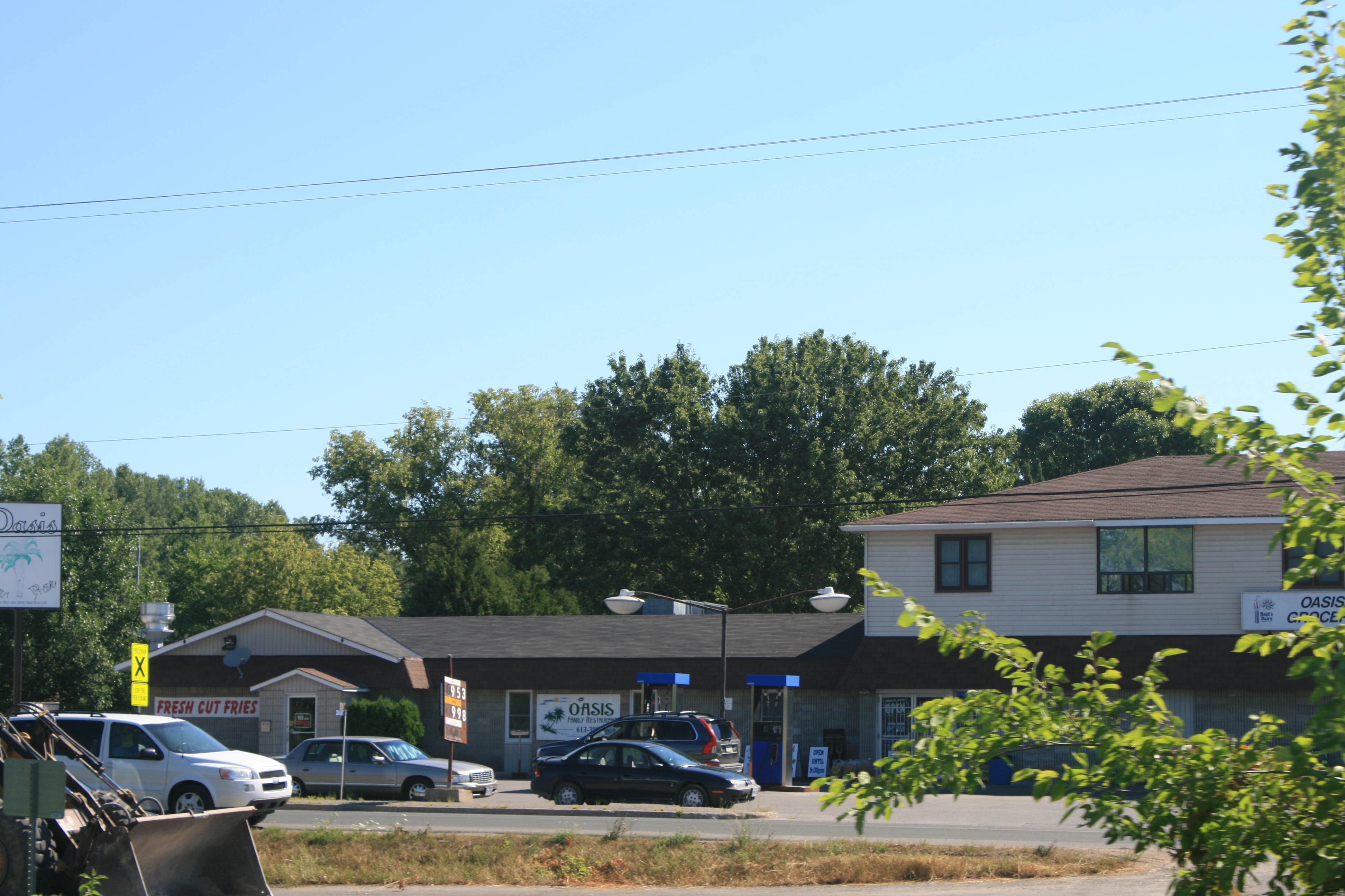
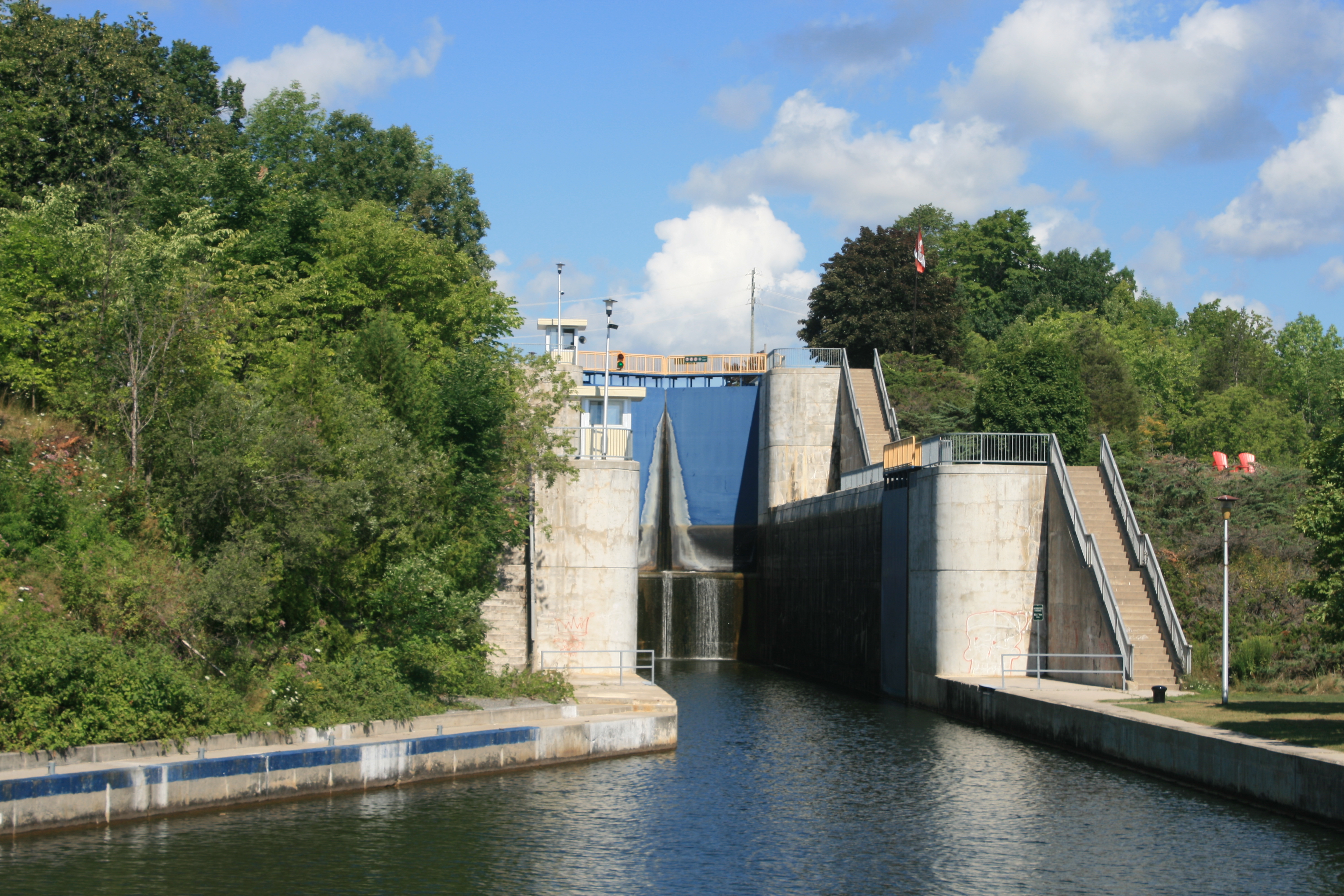
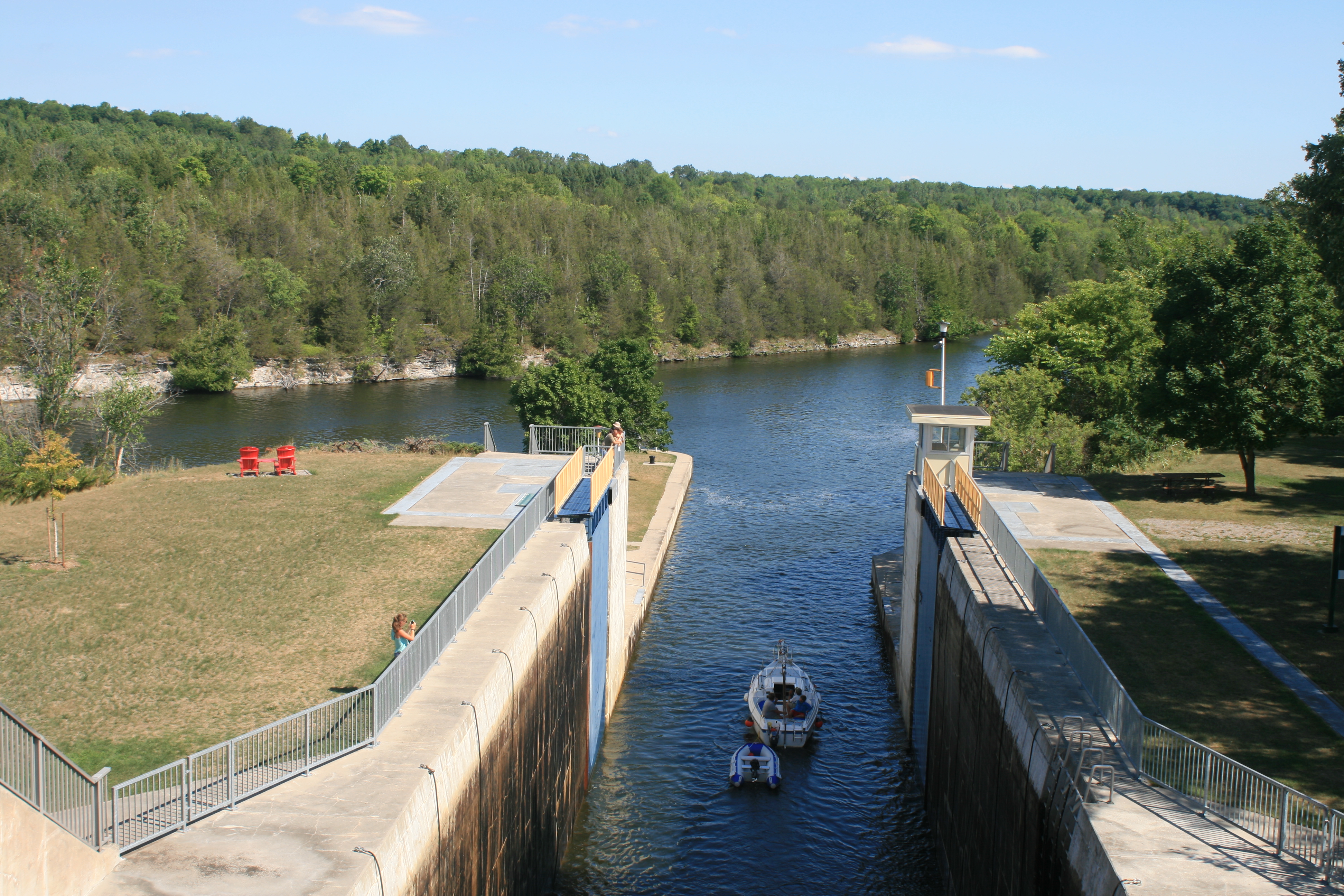
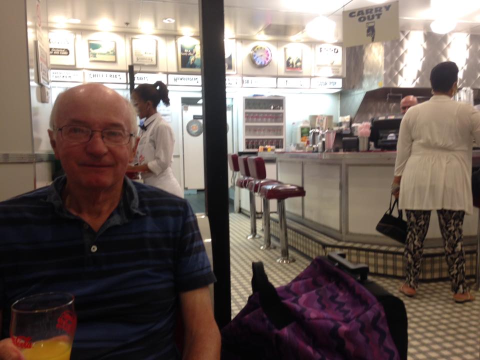
We had breakfast at a restaurant overlooking the lock, recommended by the woman in the next boat who had saved the crew’s face the previous day. It was a sort of peace-offering, from the Captain.
We had been wondering what peameal, which seems to feature on all breakfast menus in Canada, might be. I had had a best-forgotten experience with grits in Charleston, and suspected that peameal might be something similar. But it turned out to be lean Canadian bacon, thick-cut like gammon, and delicious.

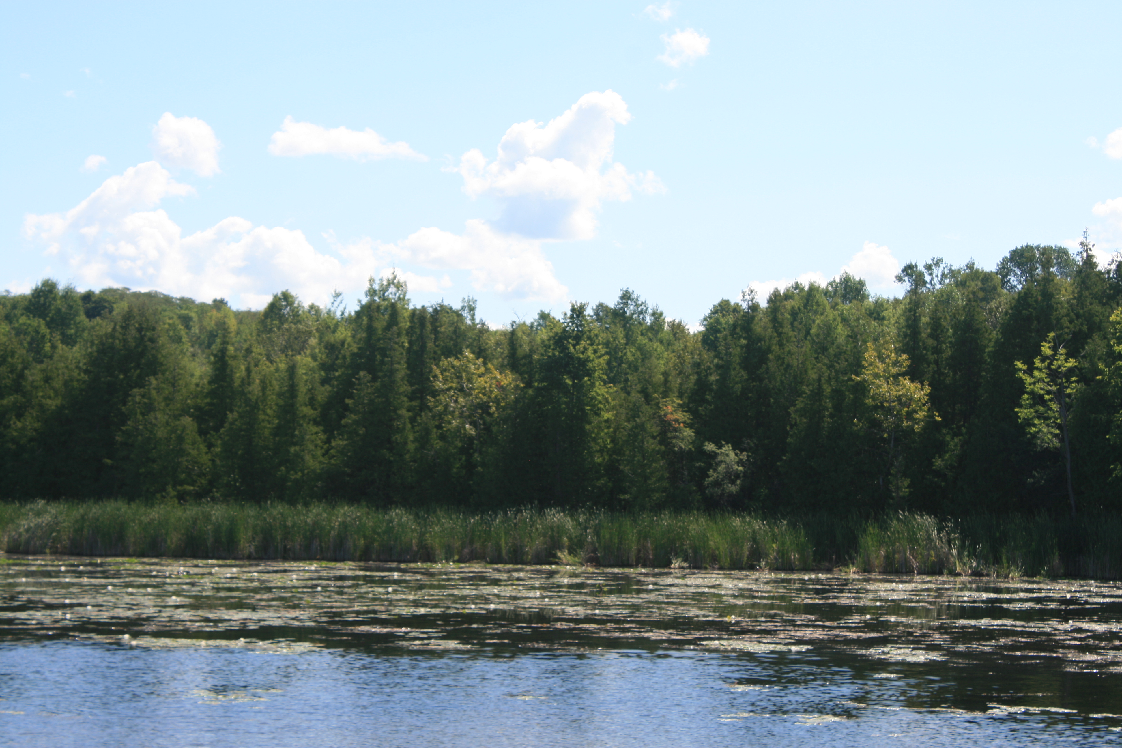
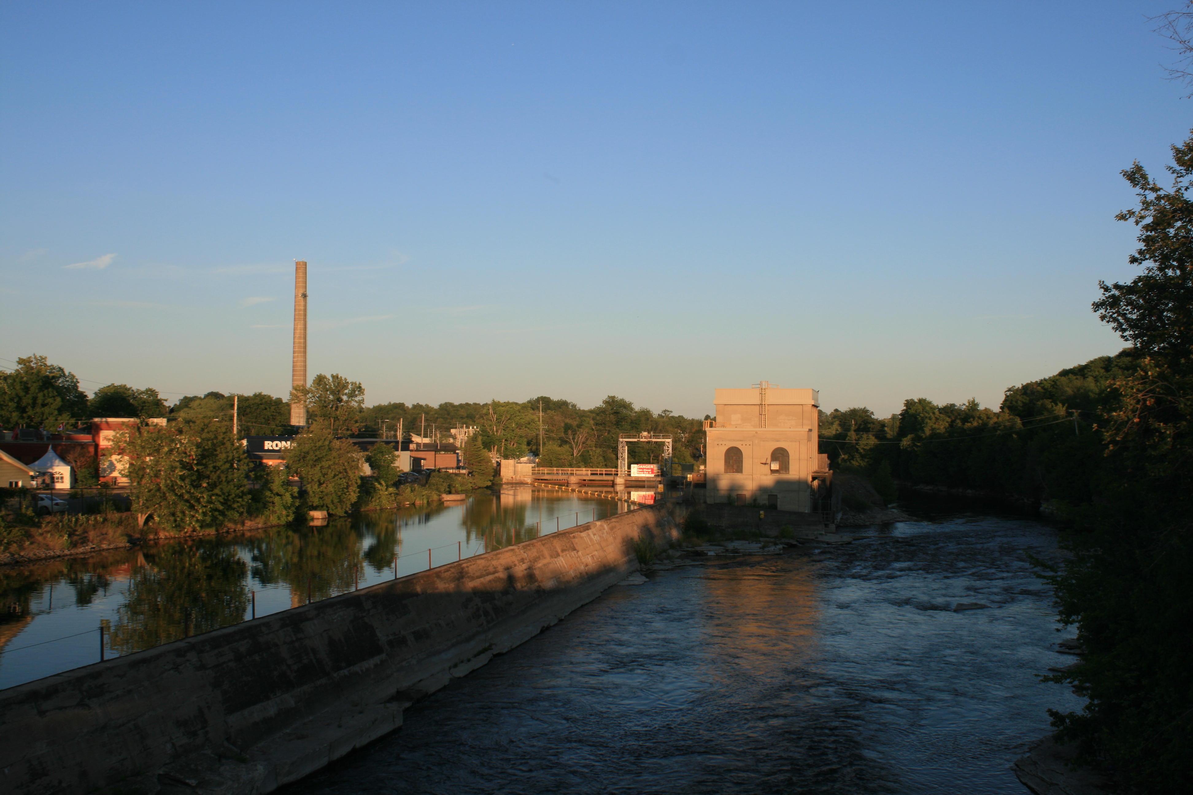
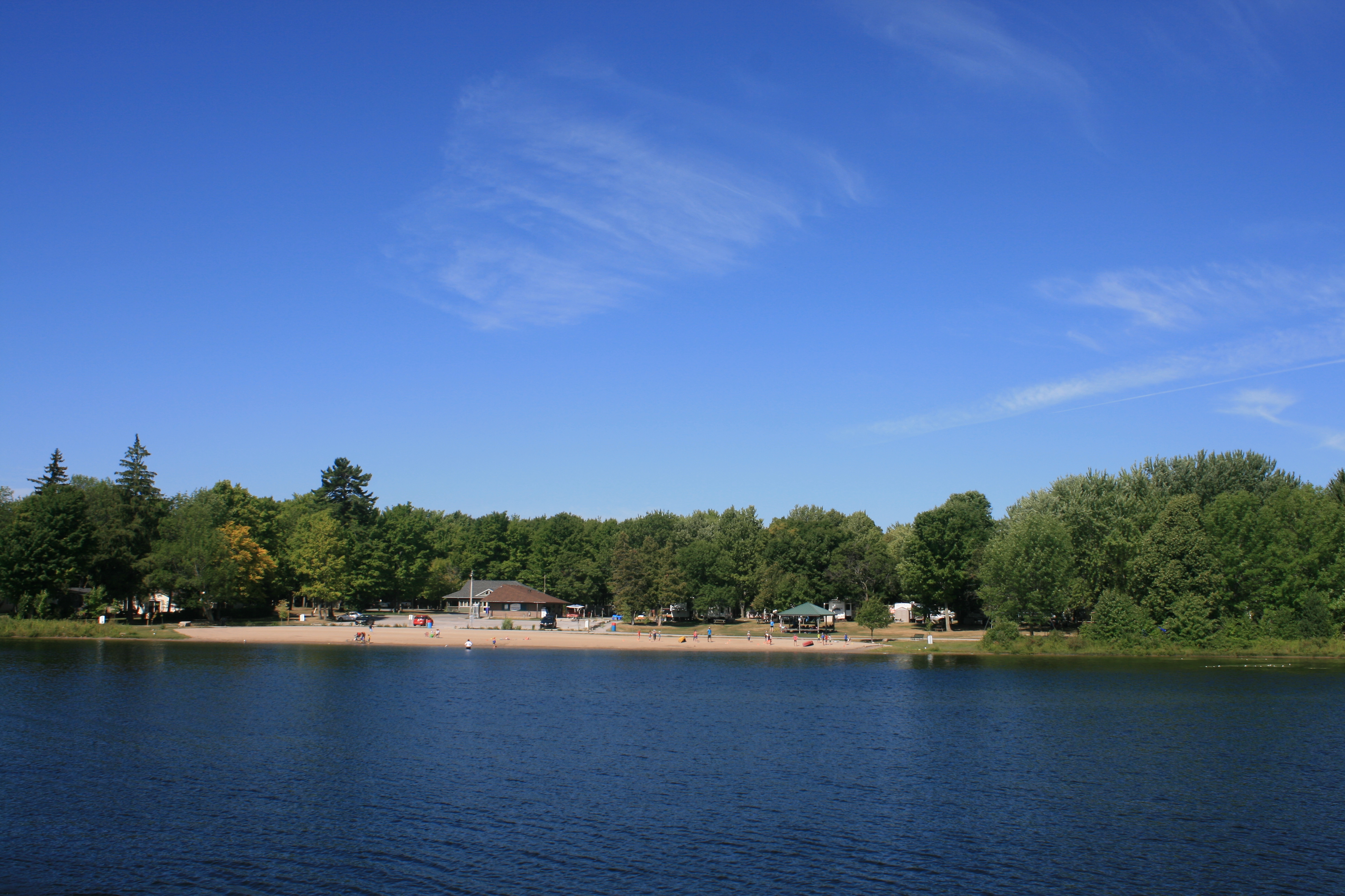
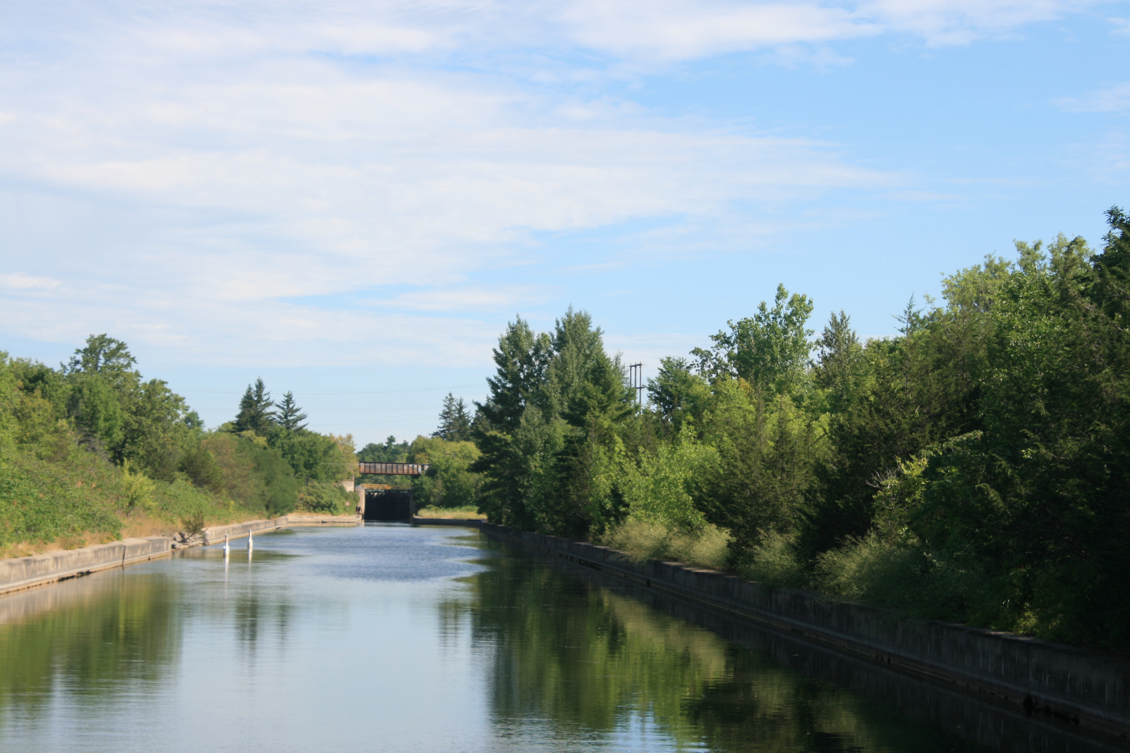
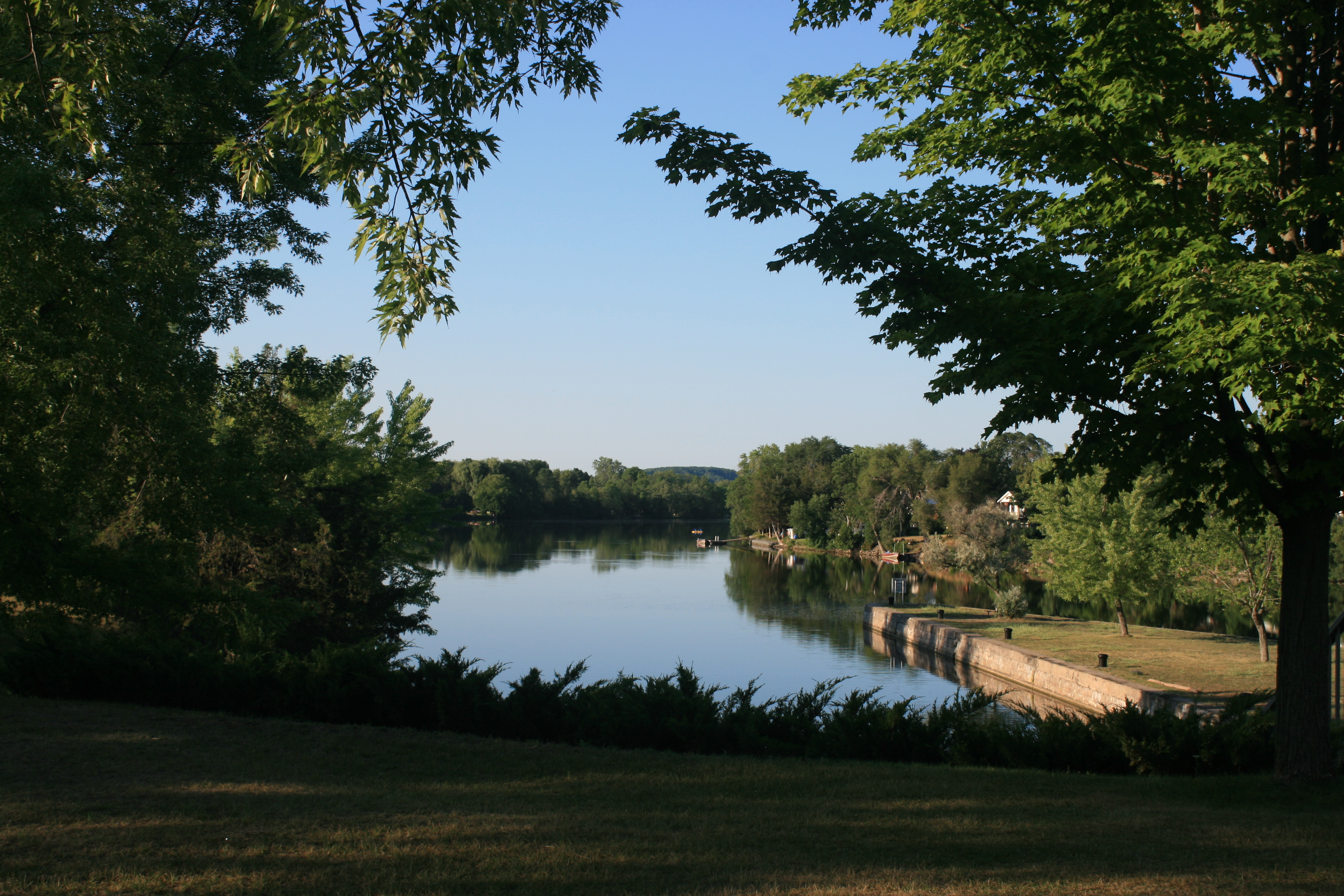
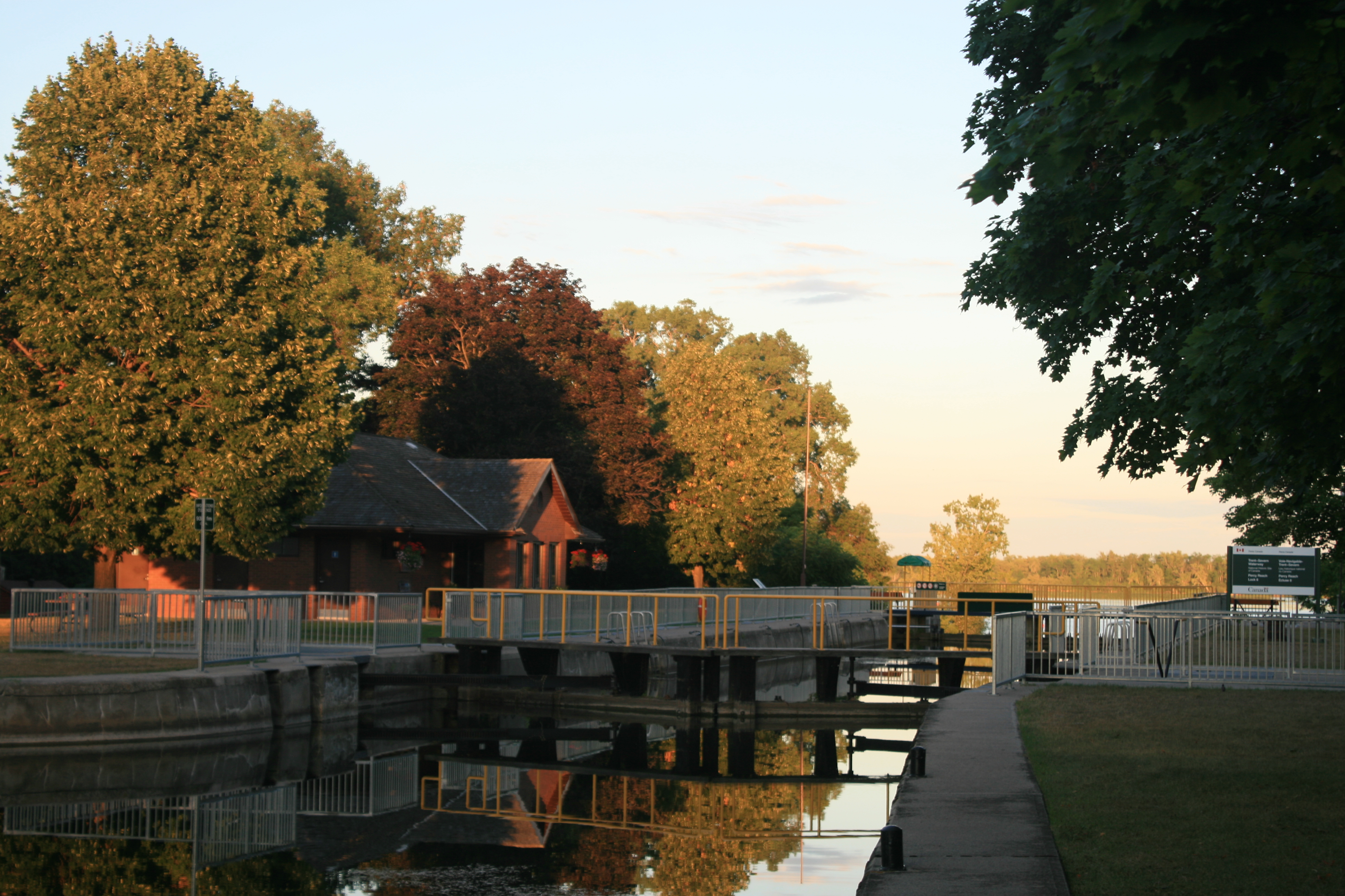
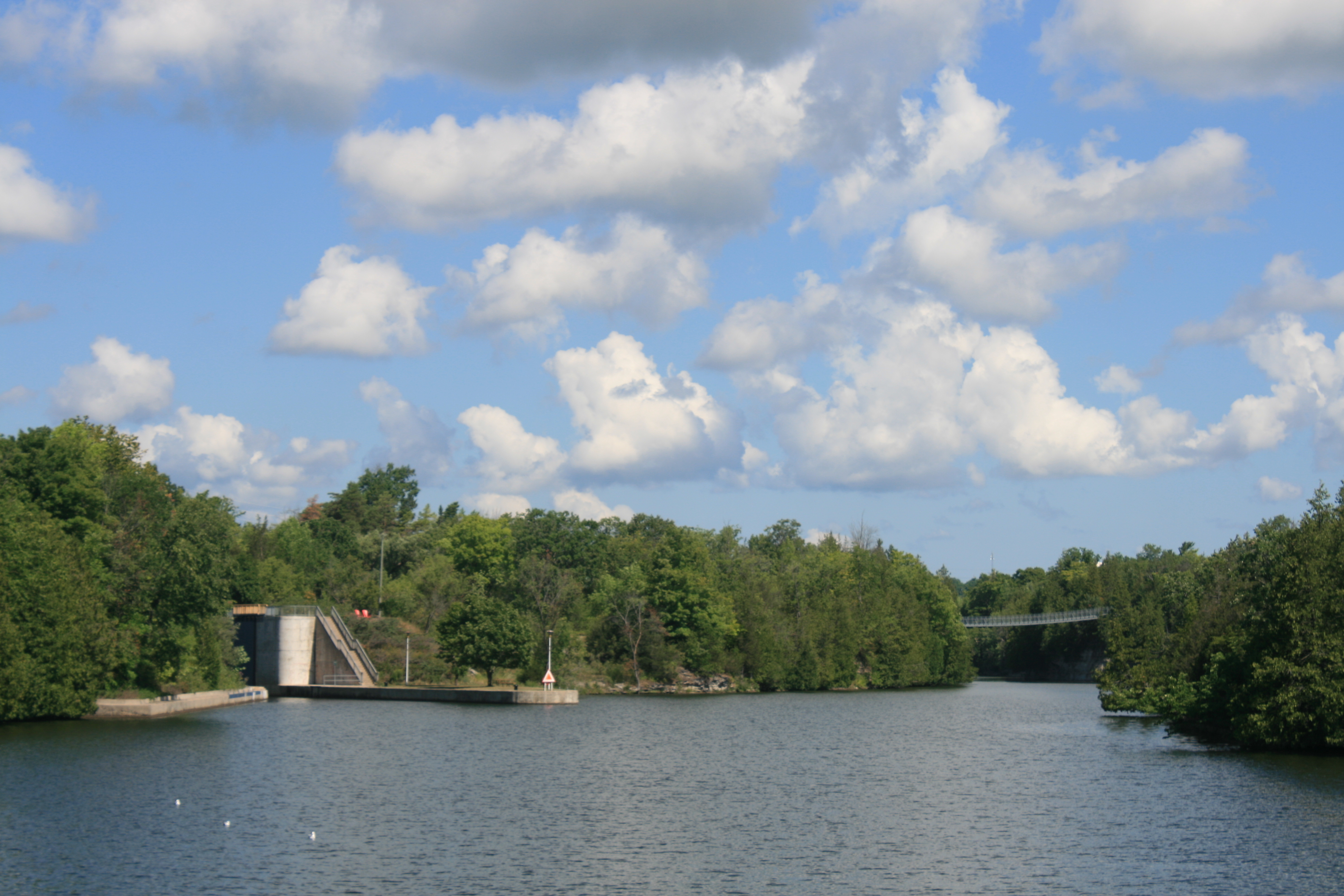
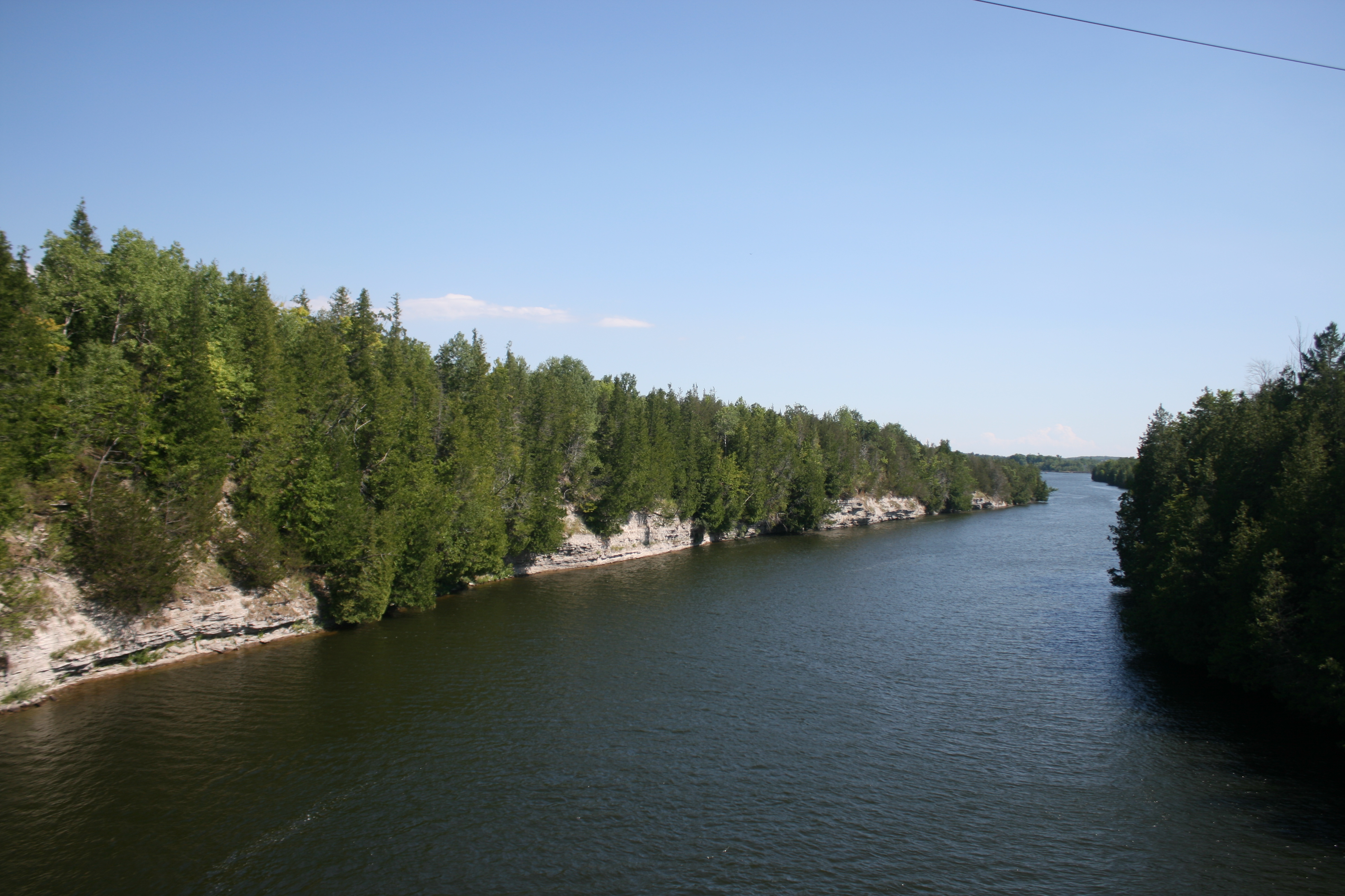
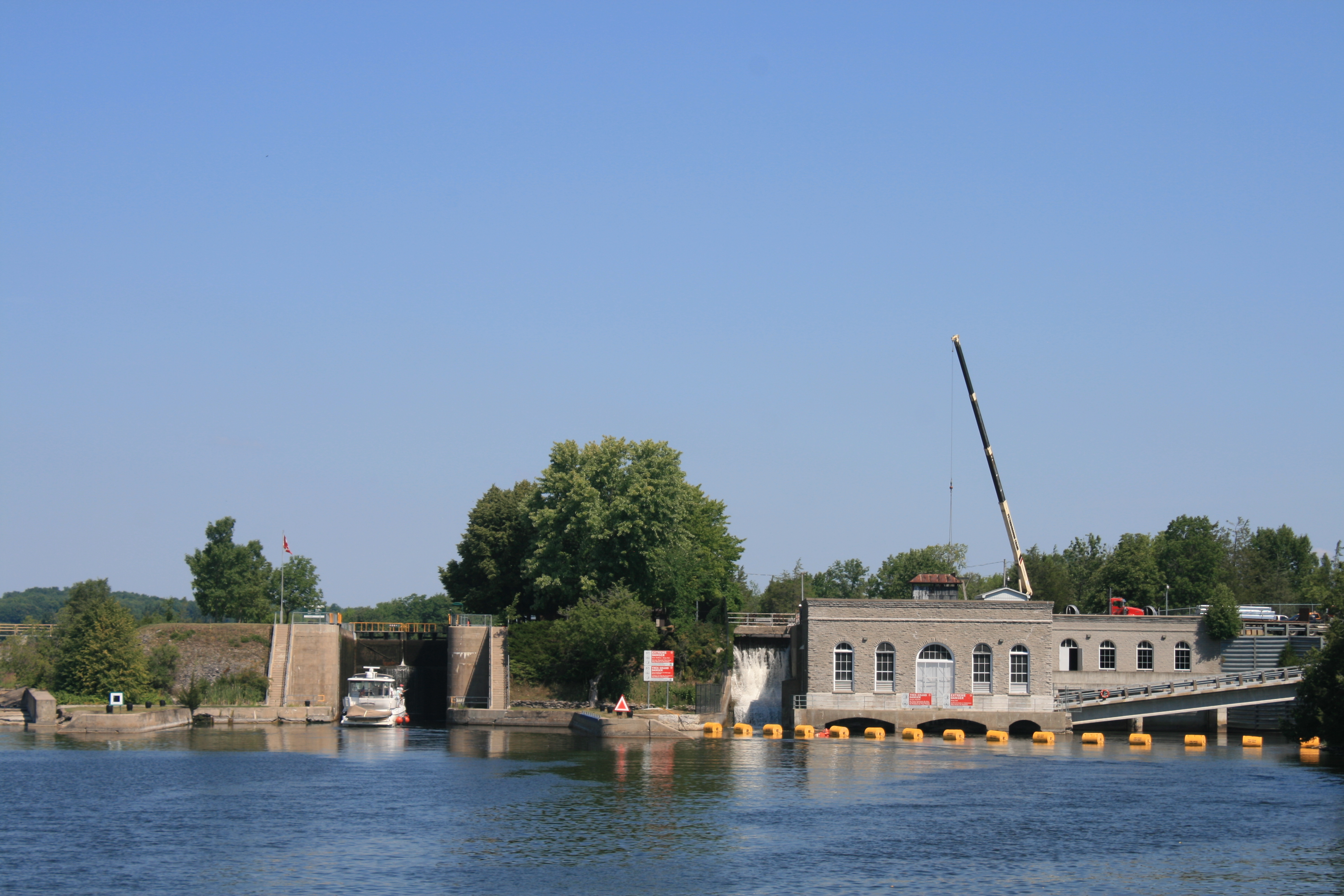
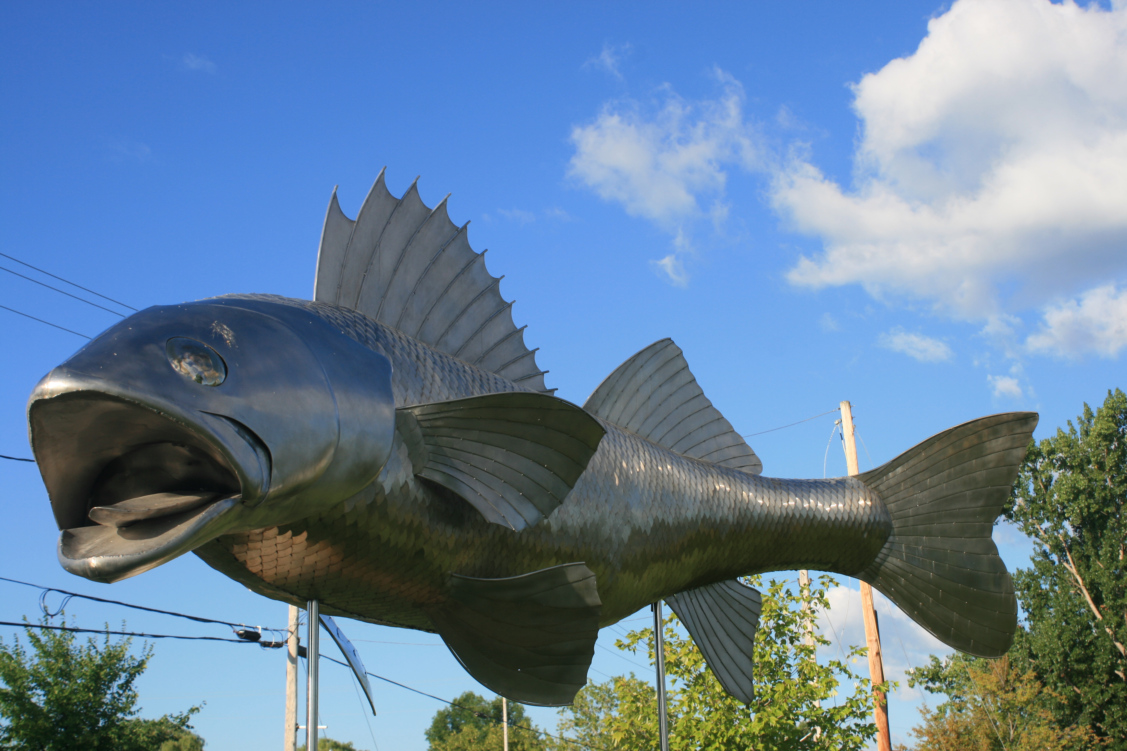
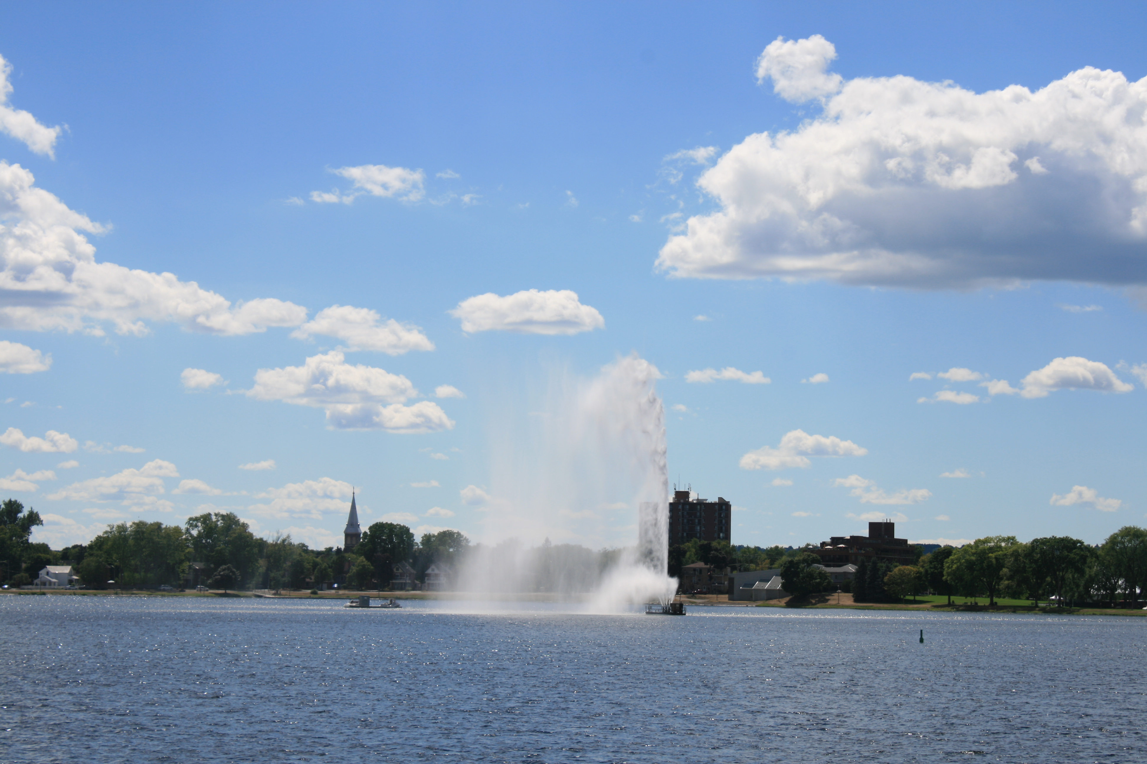
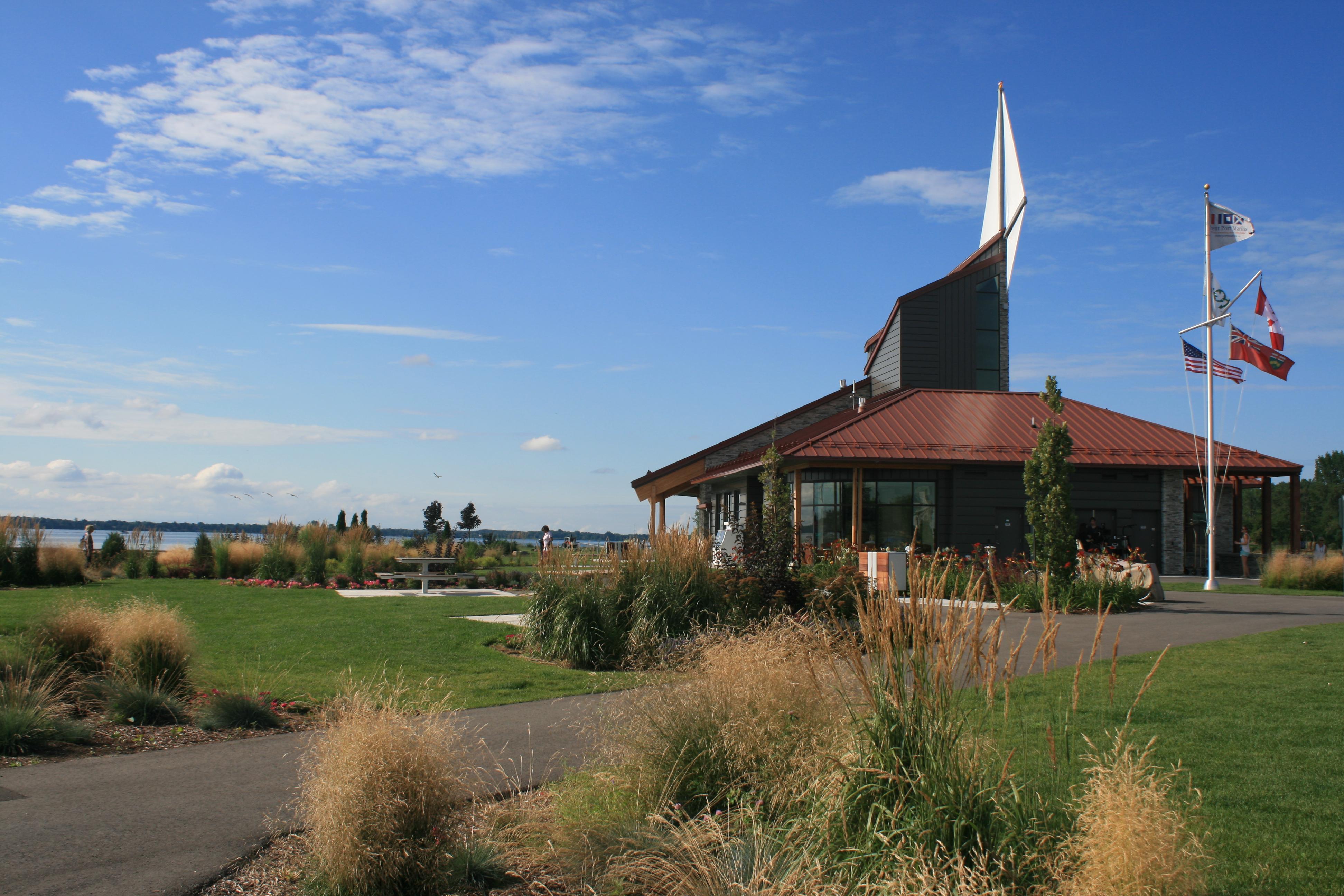
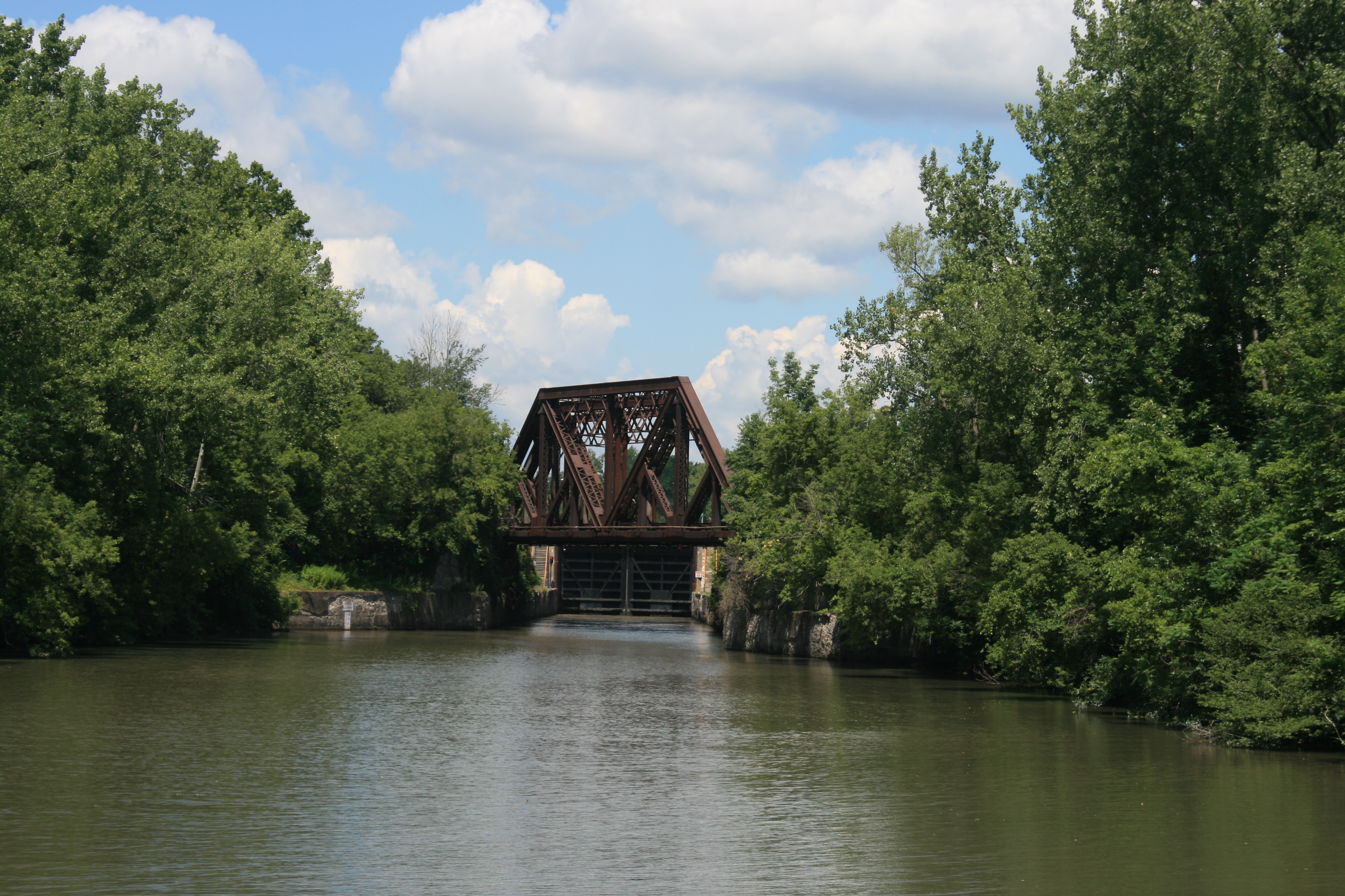
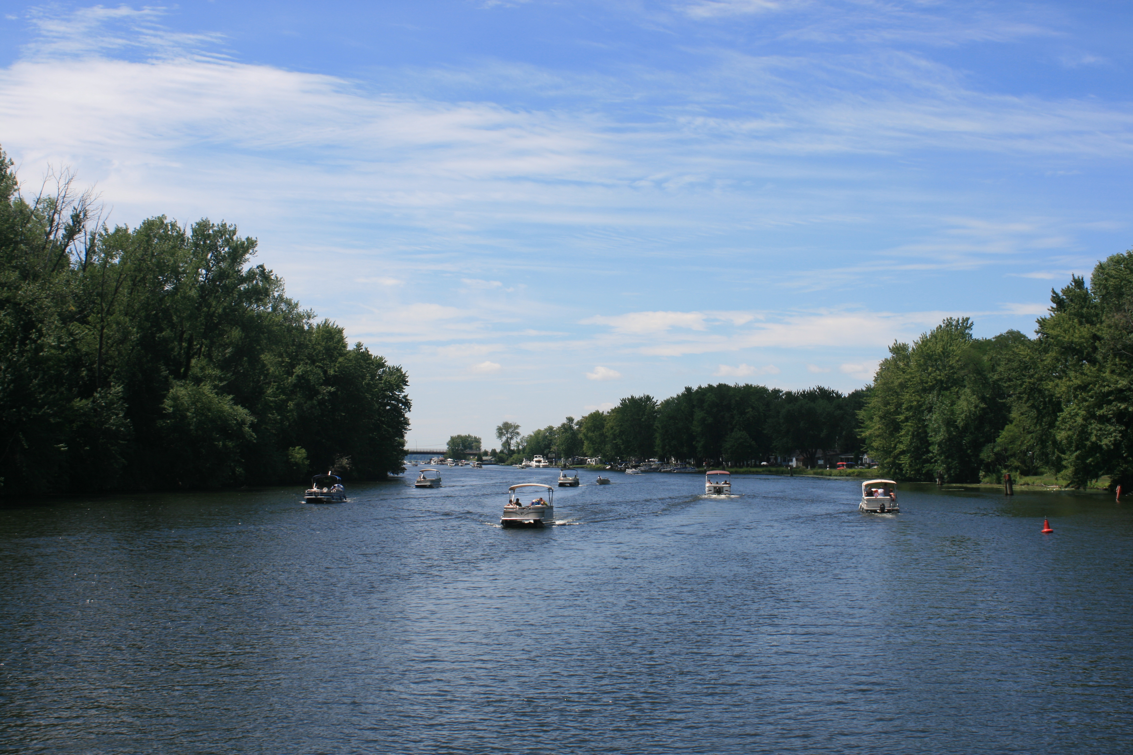
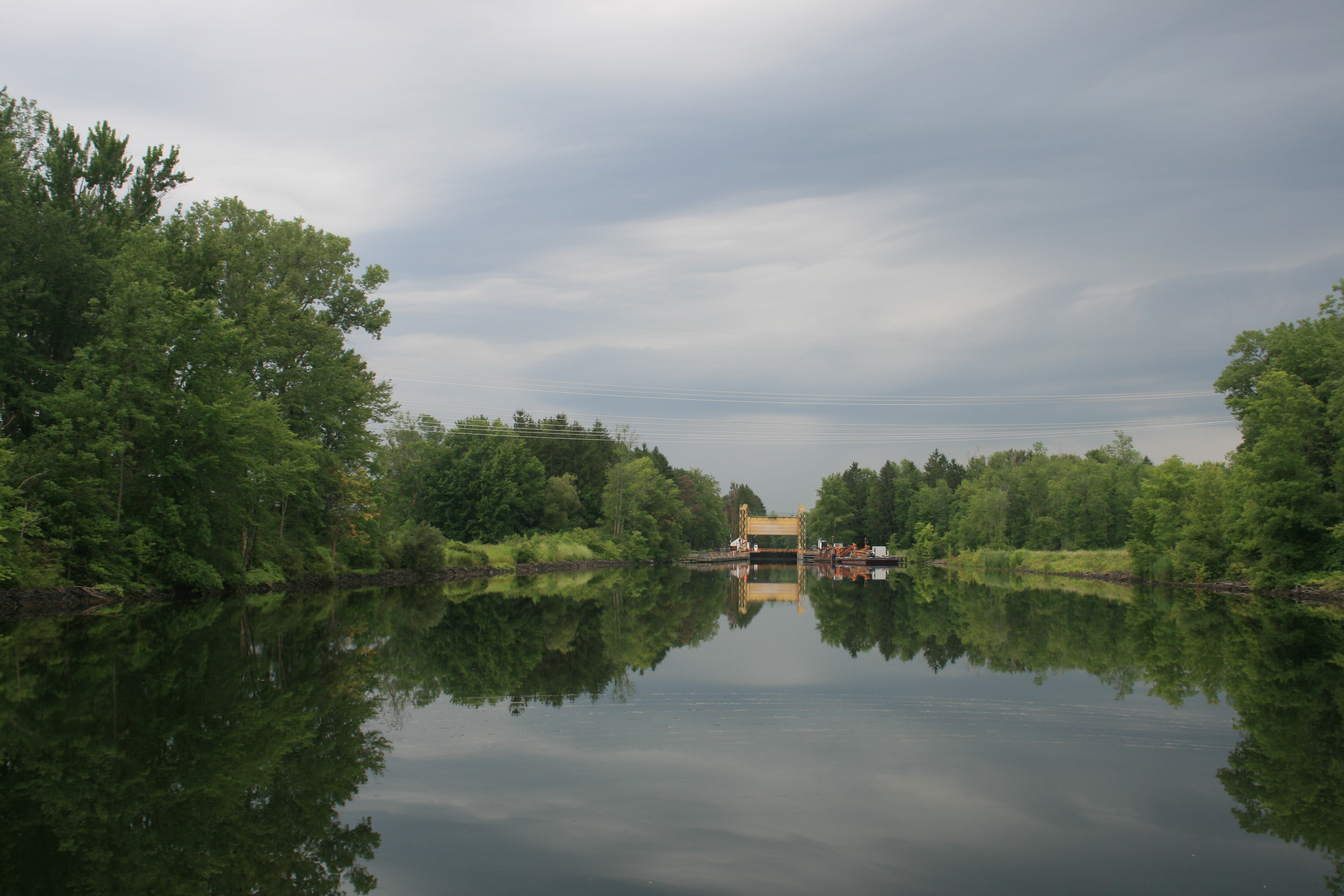
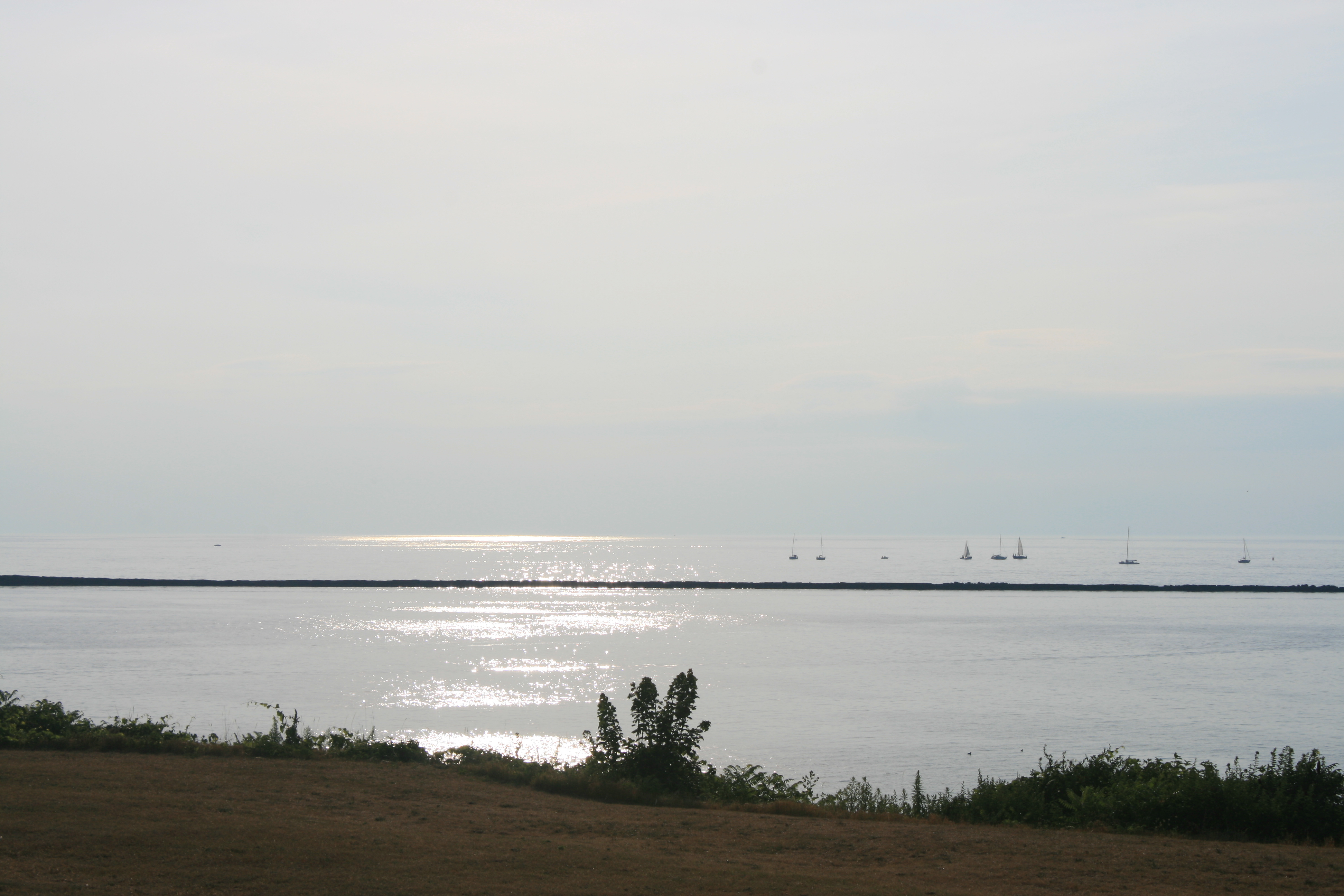
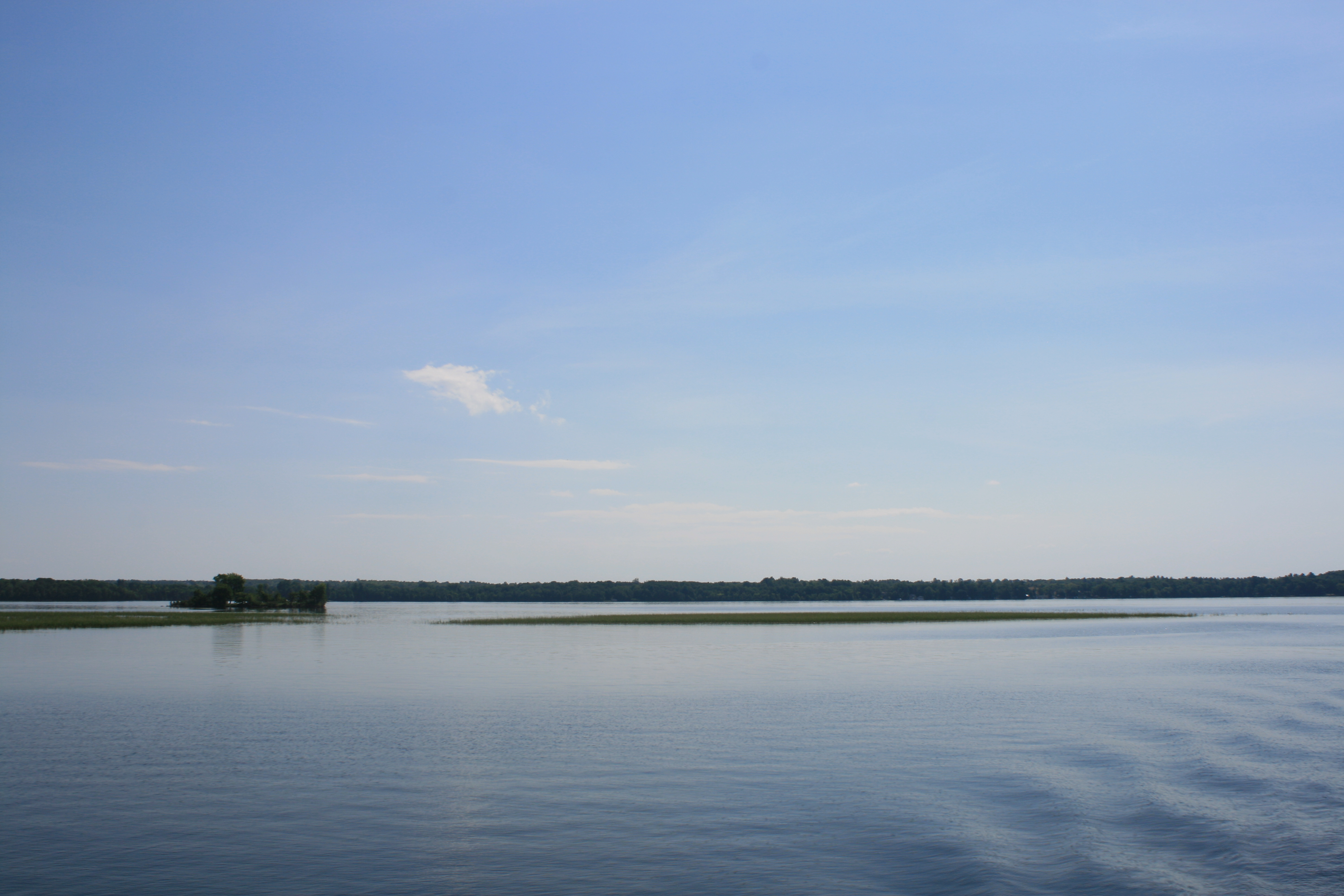
The channel at Fenelon Falls
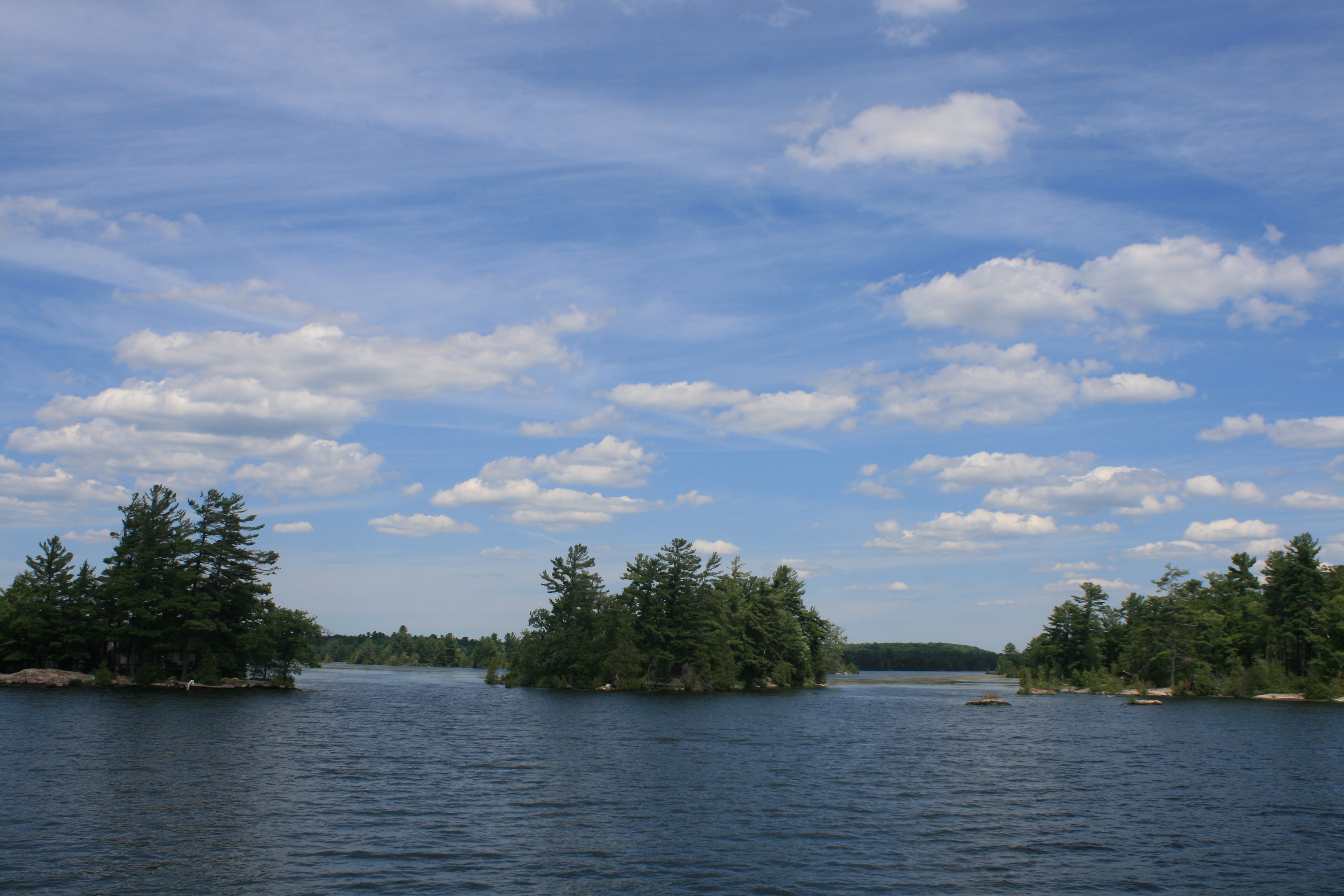
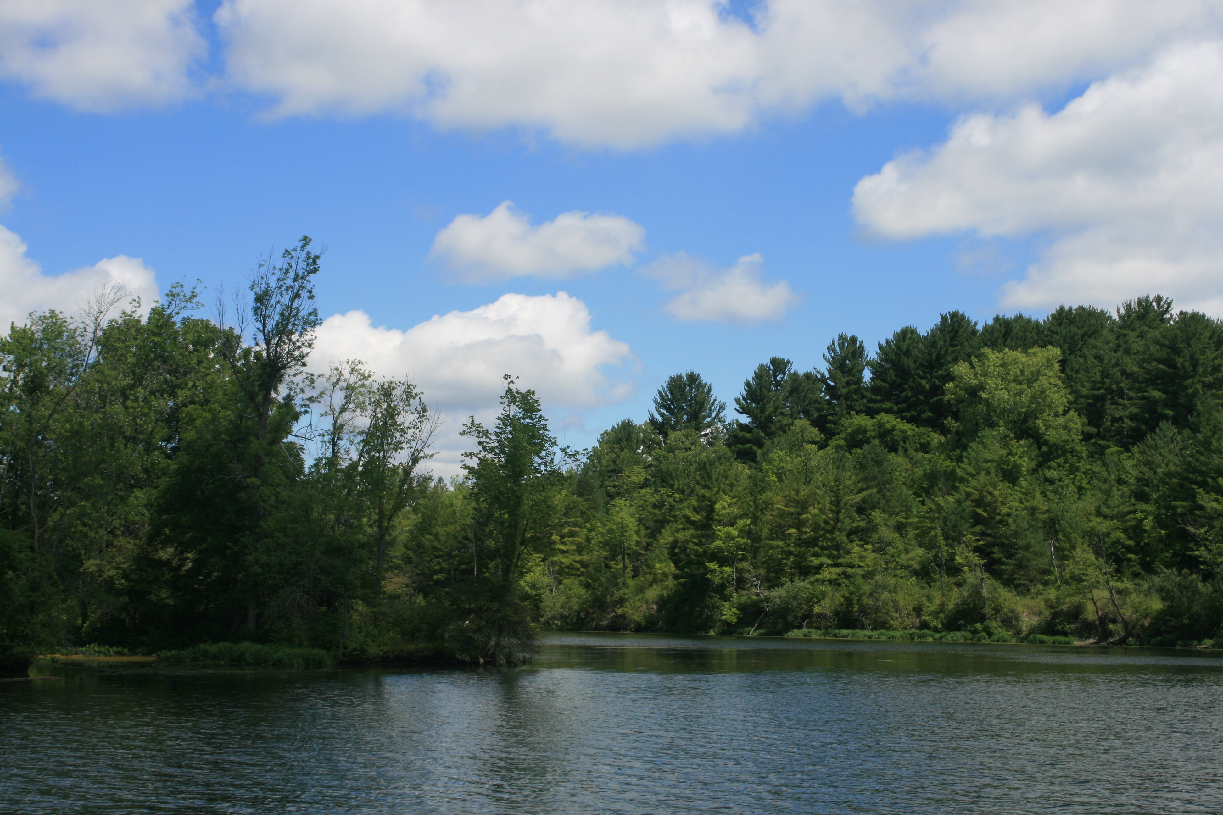
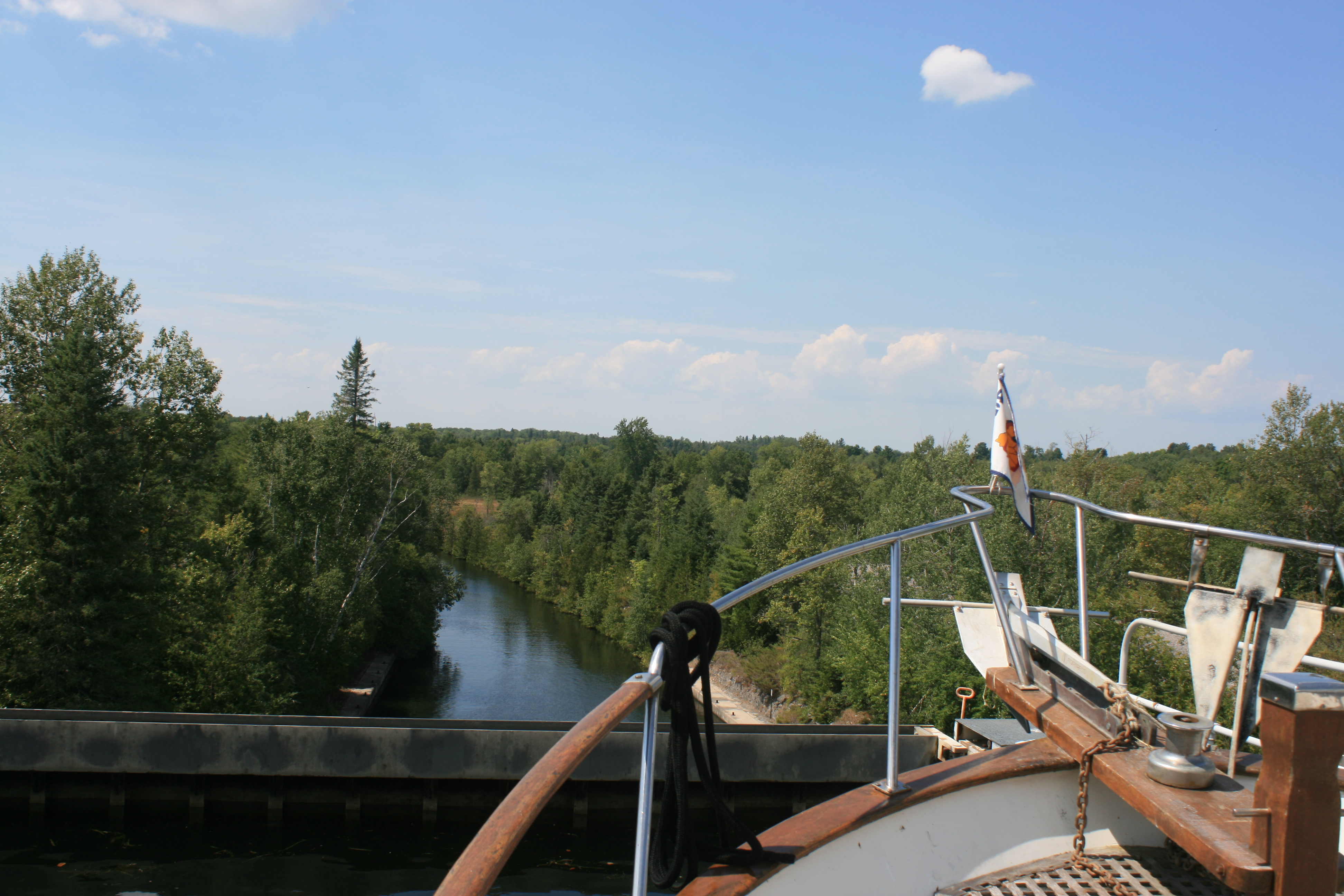
The channel which leads away from the lock at Fenelon Falls is very narrow, with rocks lurking just below the surface on either side, and it was a relief to be out into the open waters of Cameron Lake.
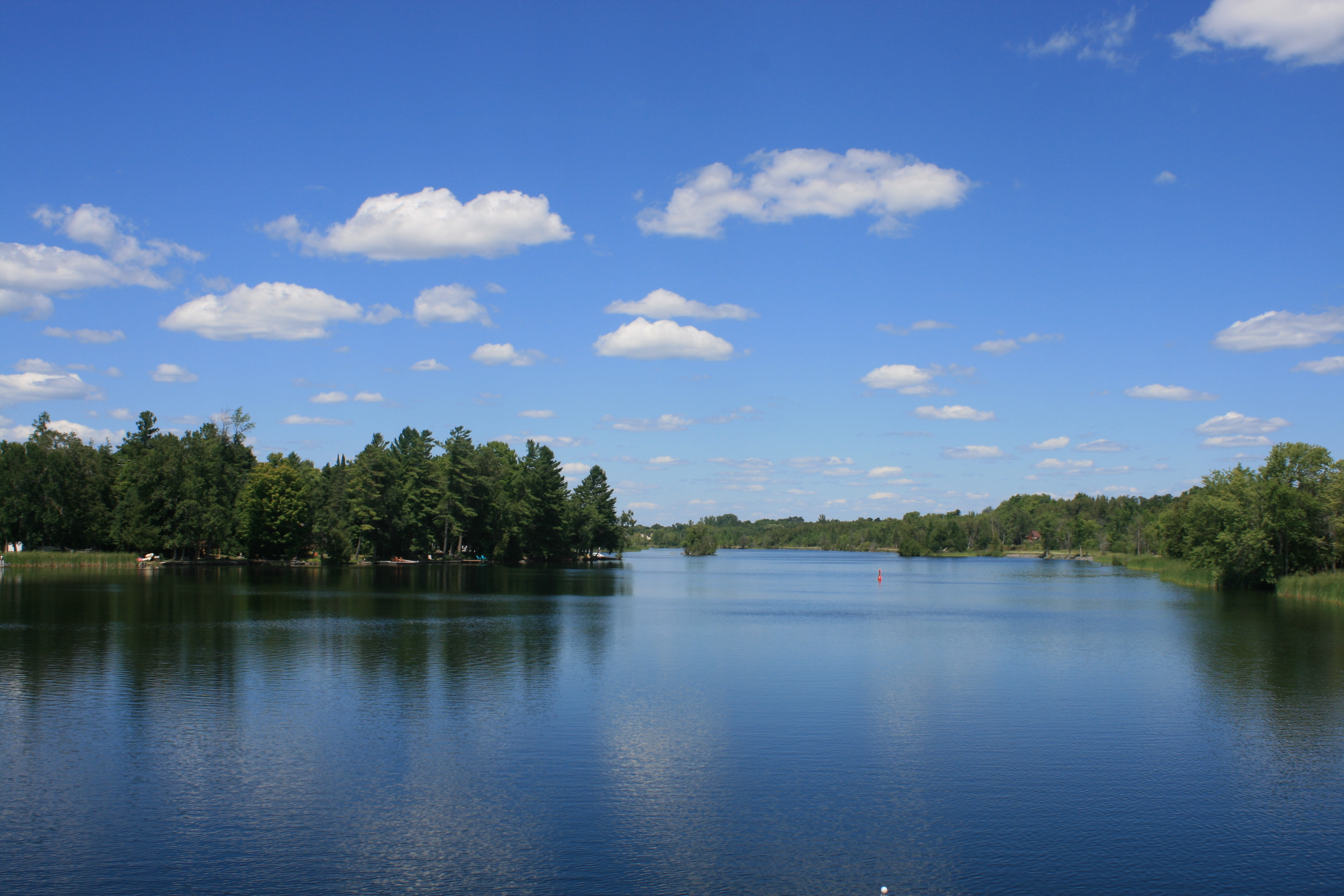
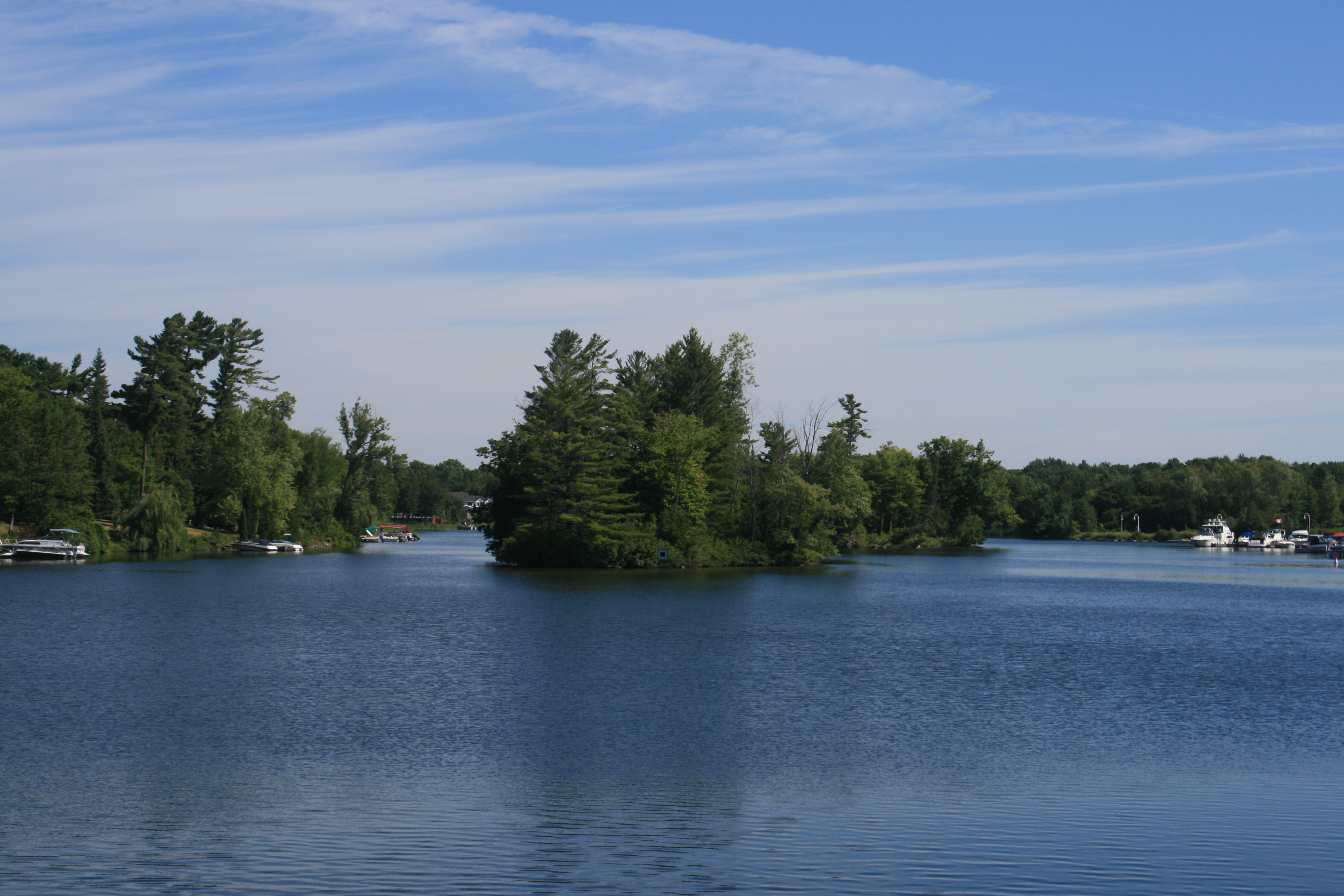
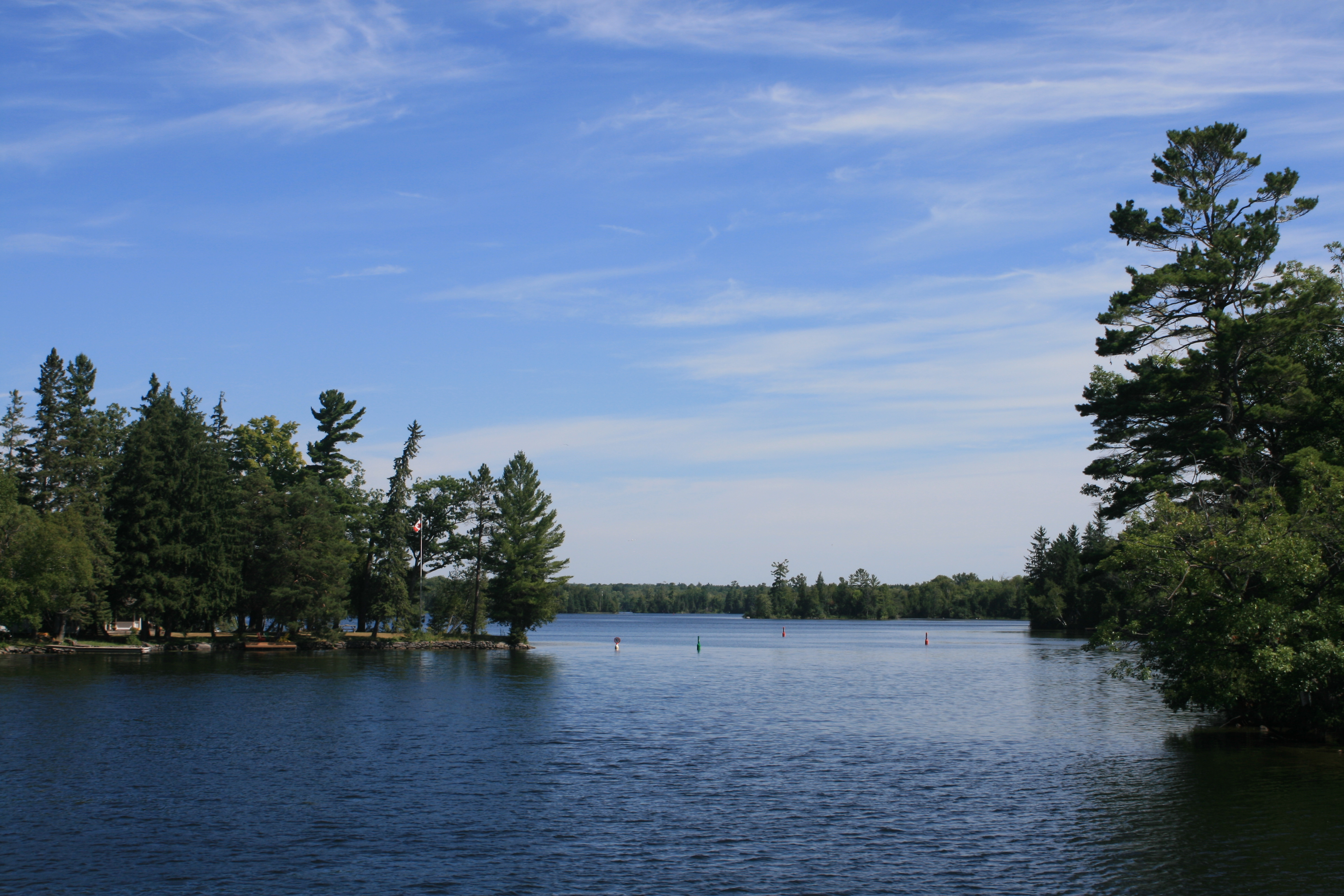
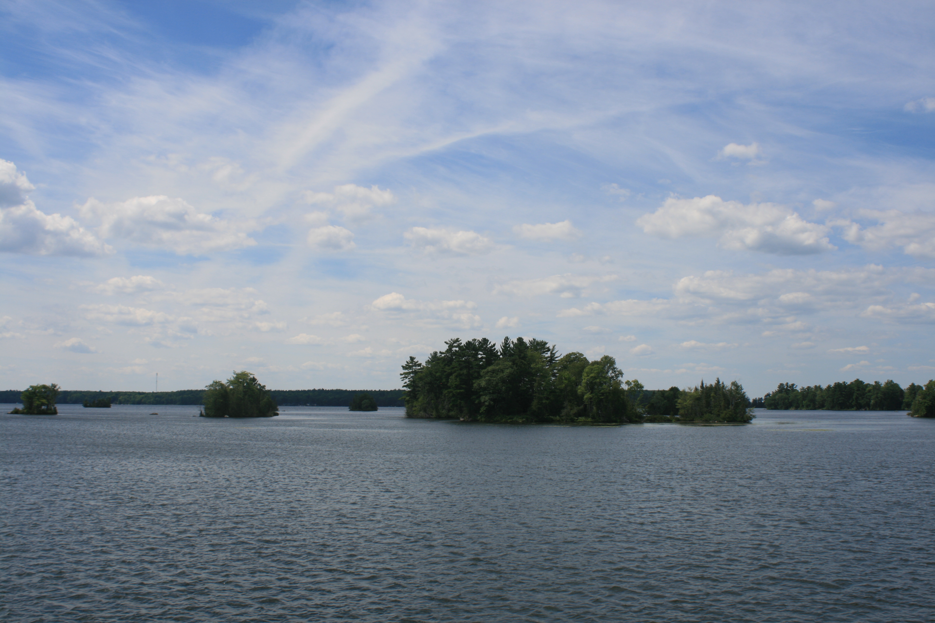
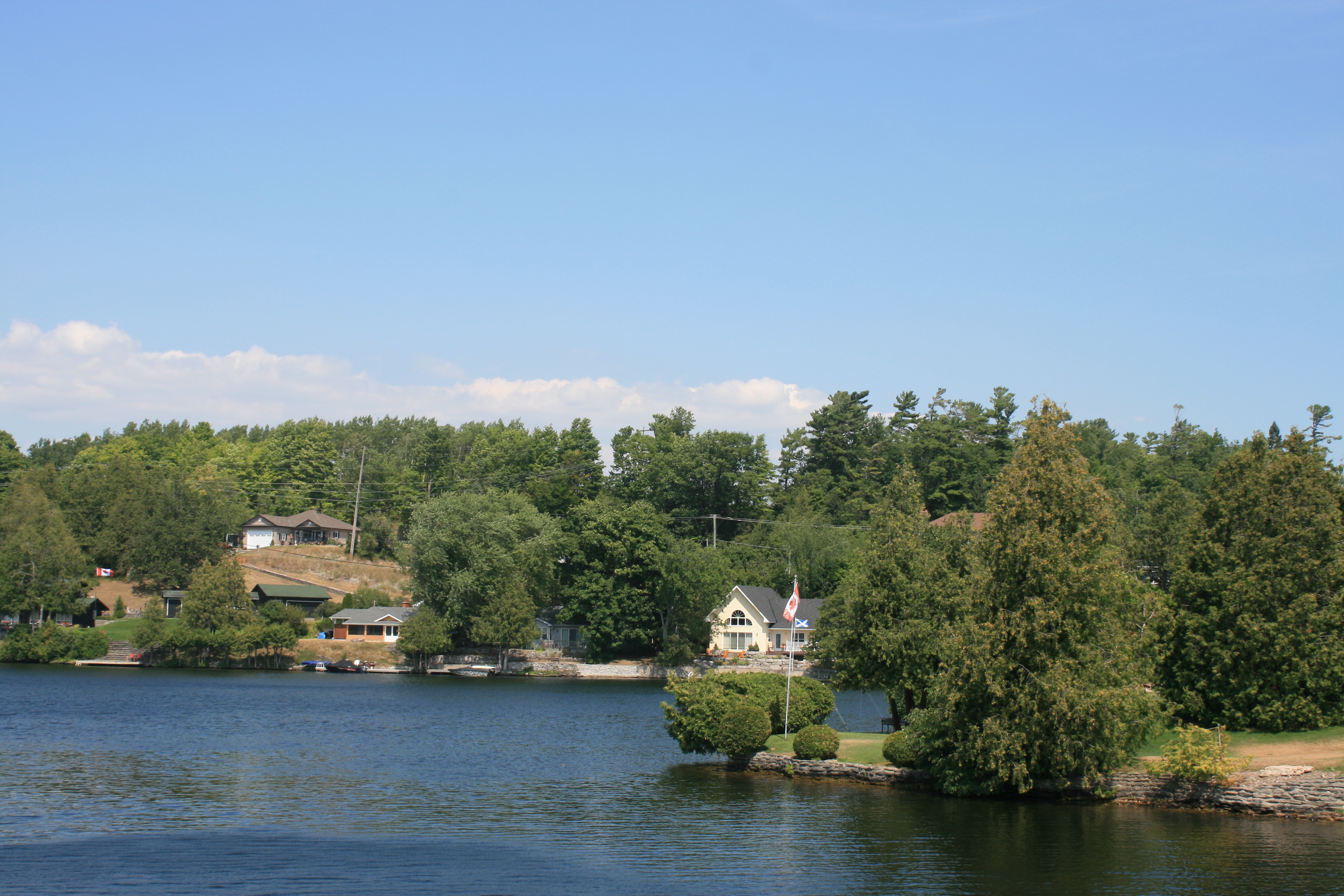
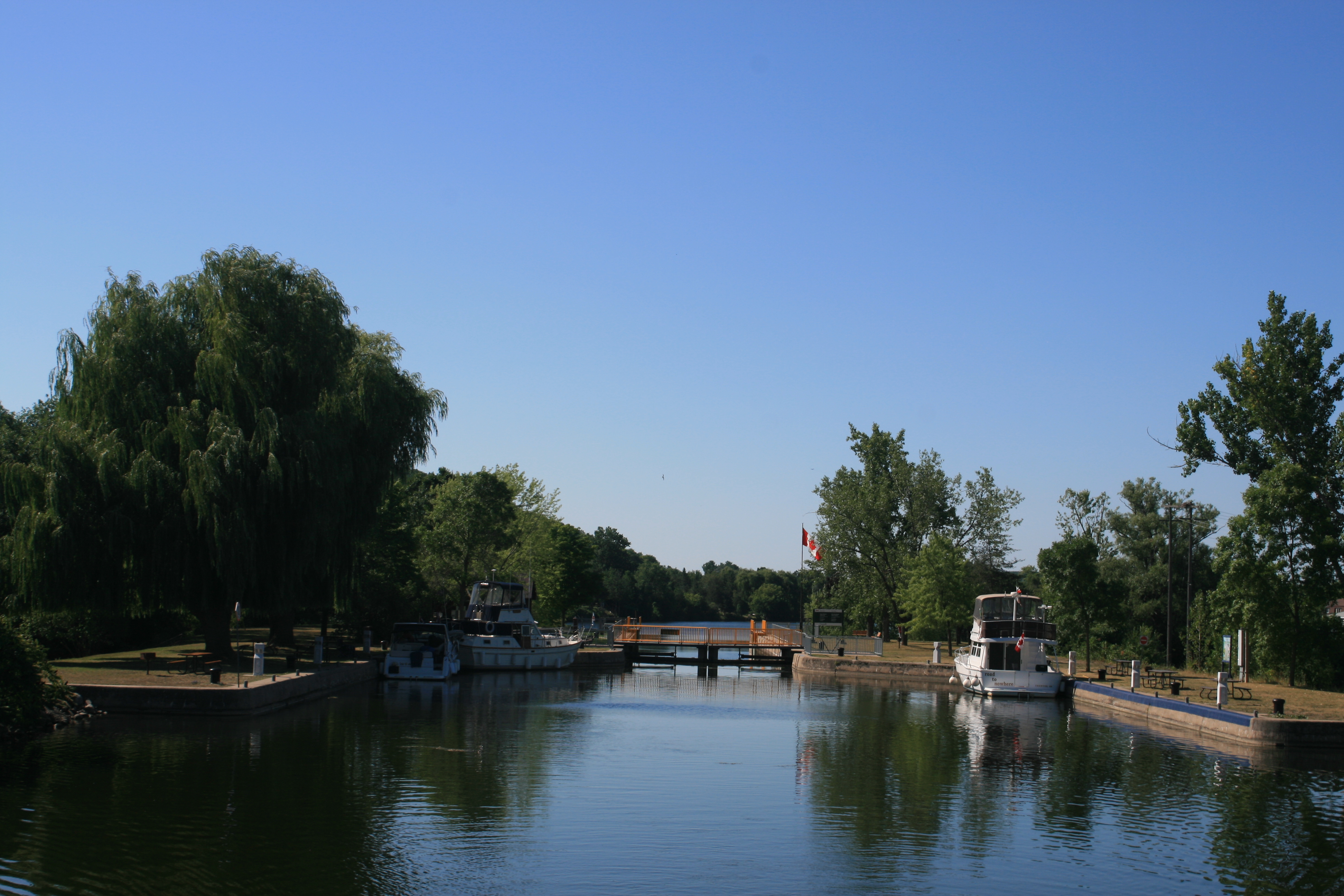
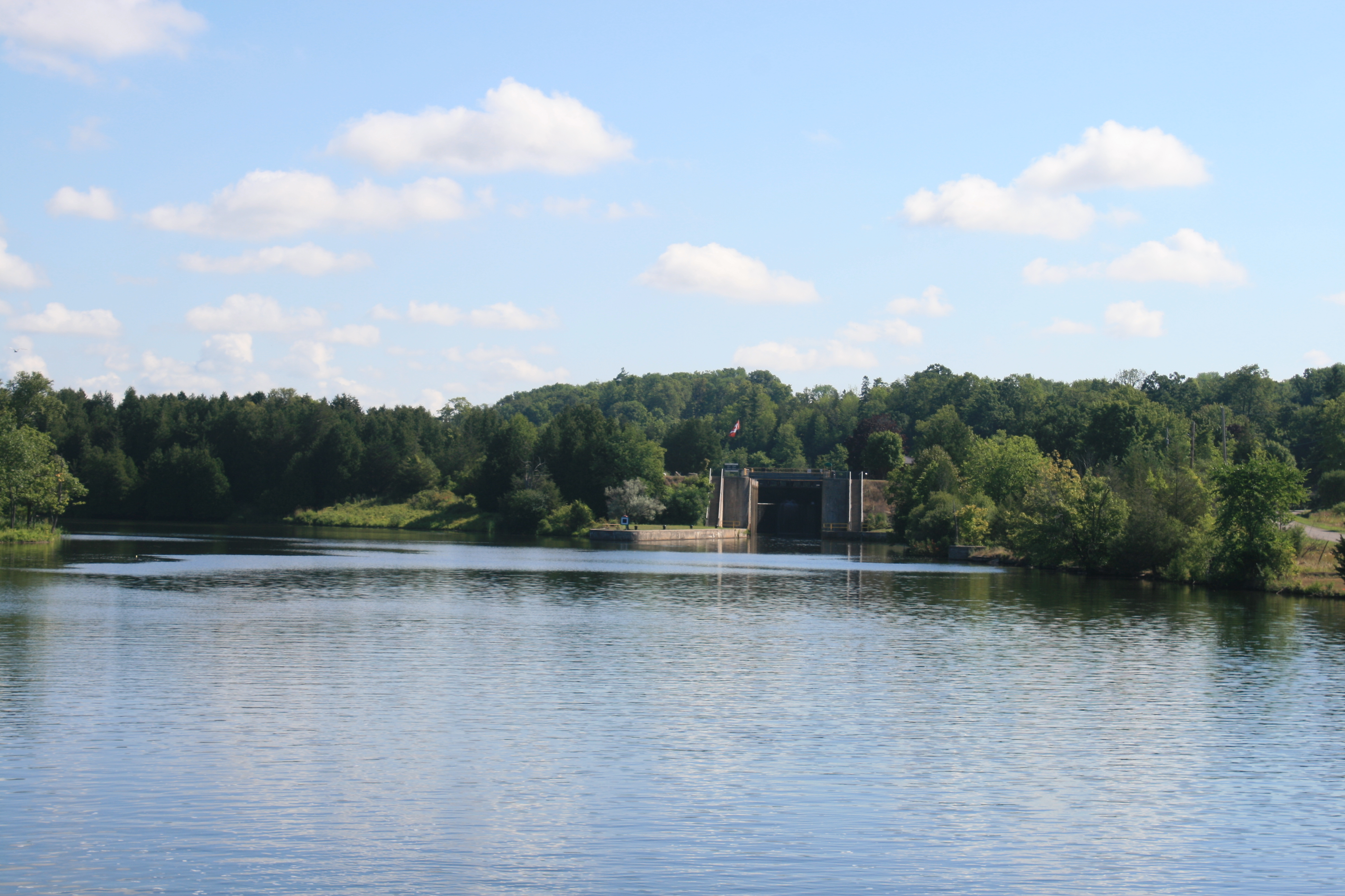
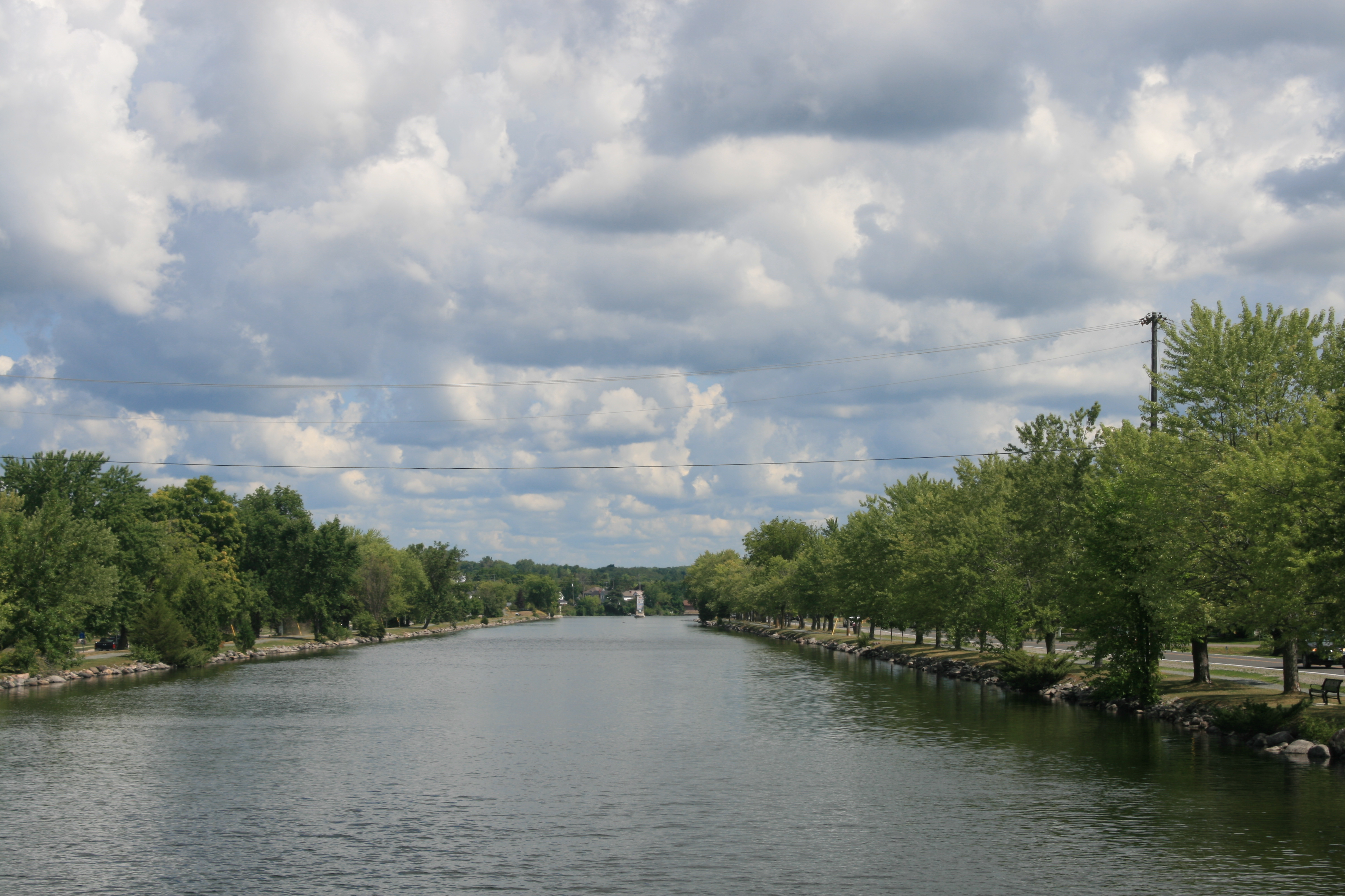
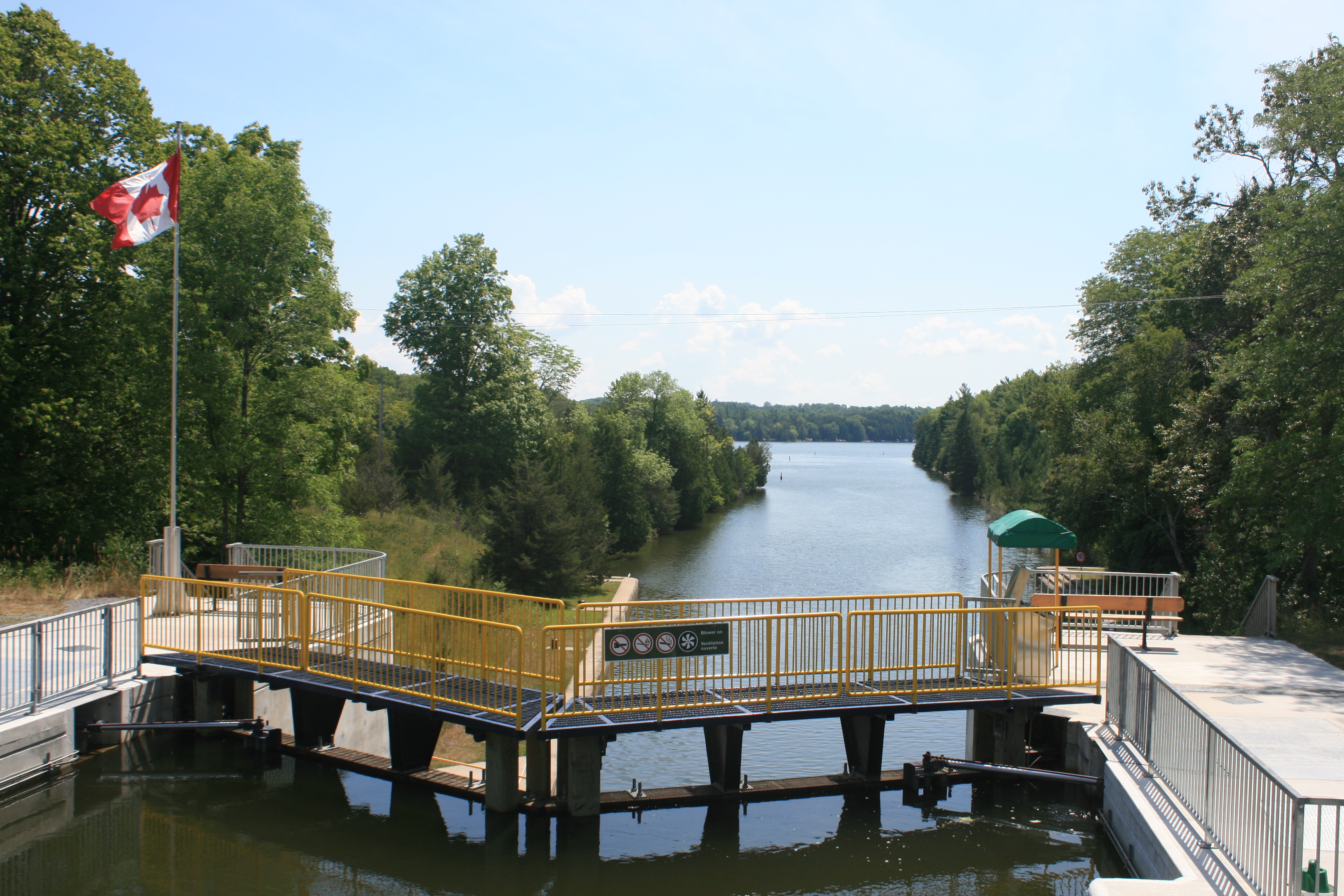
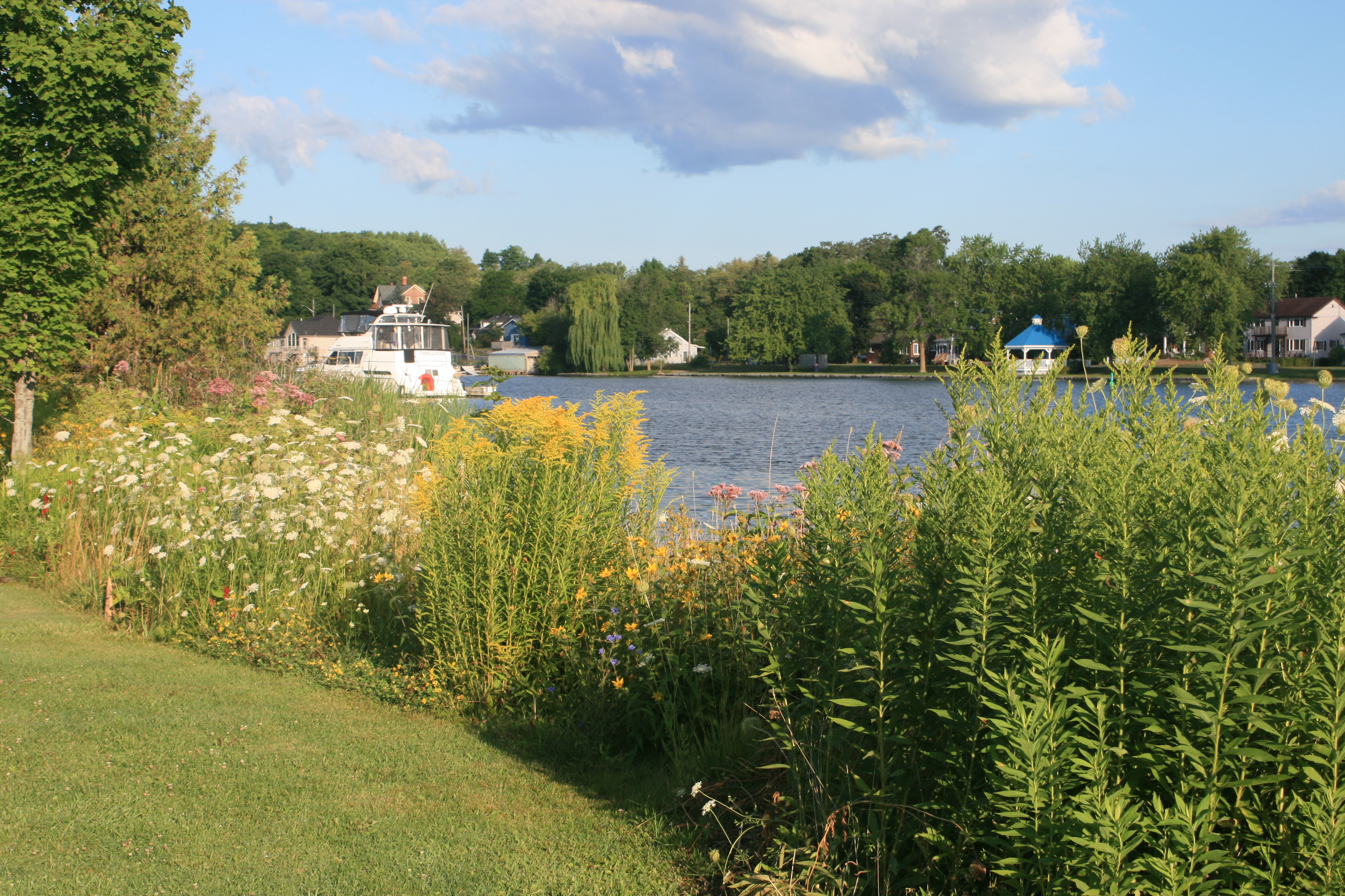
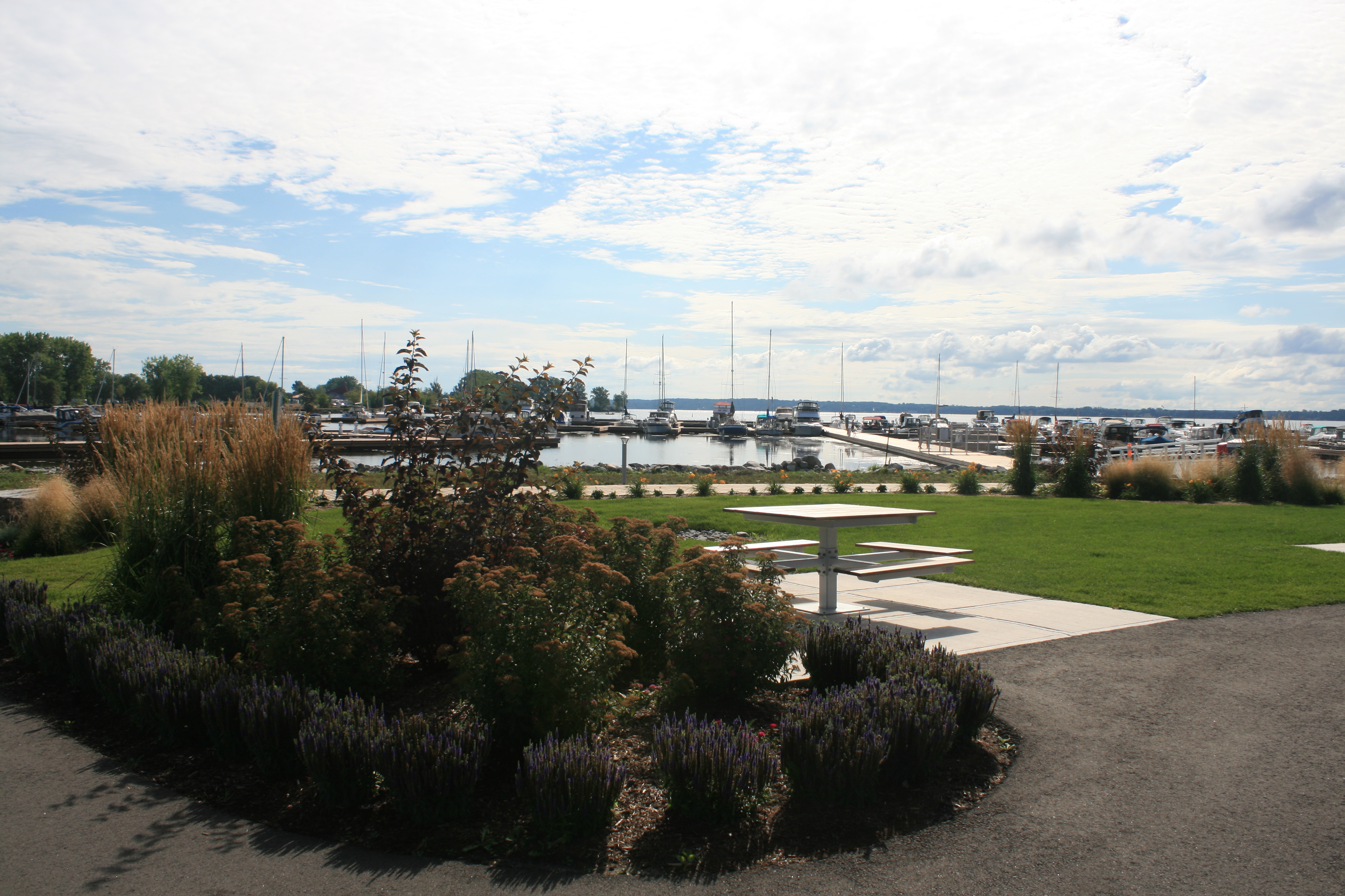
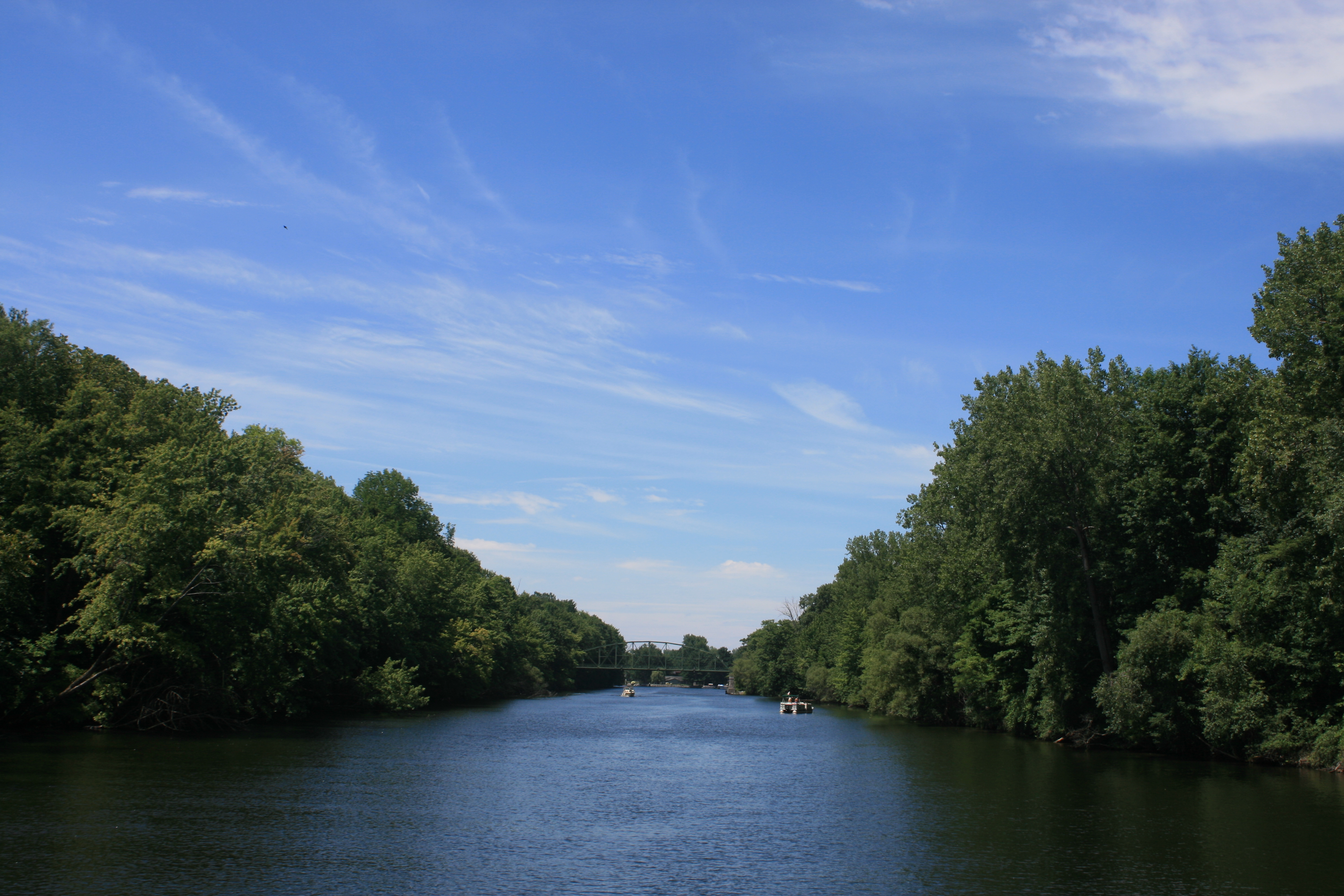
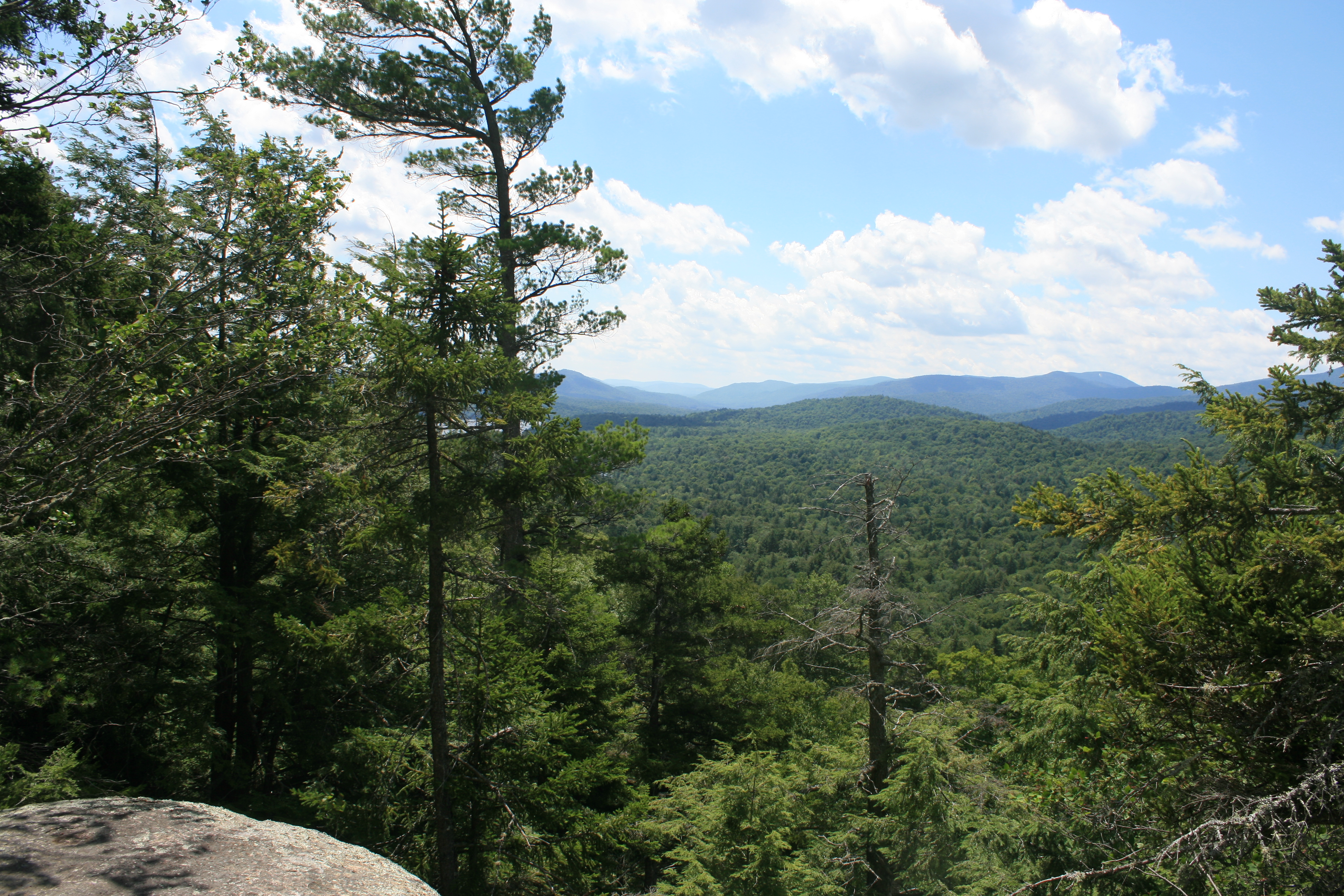
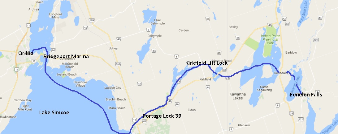
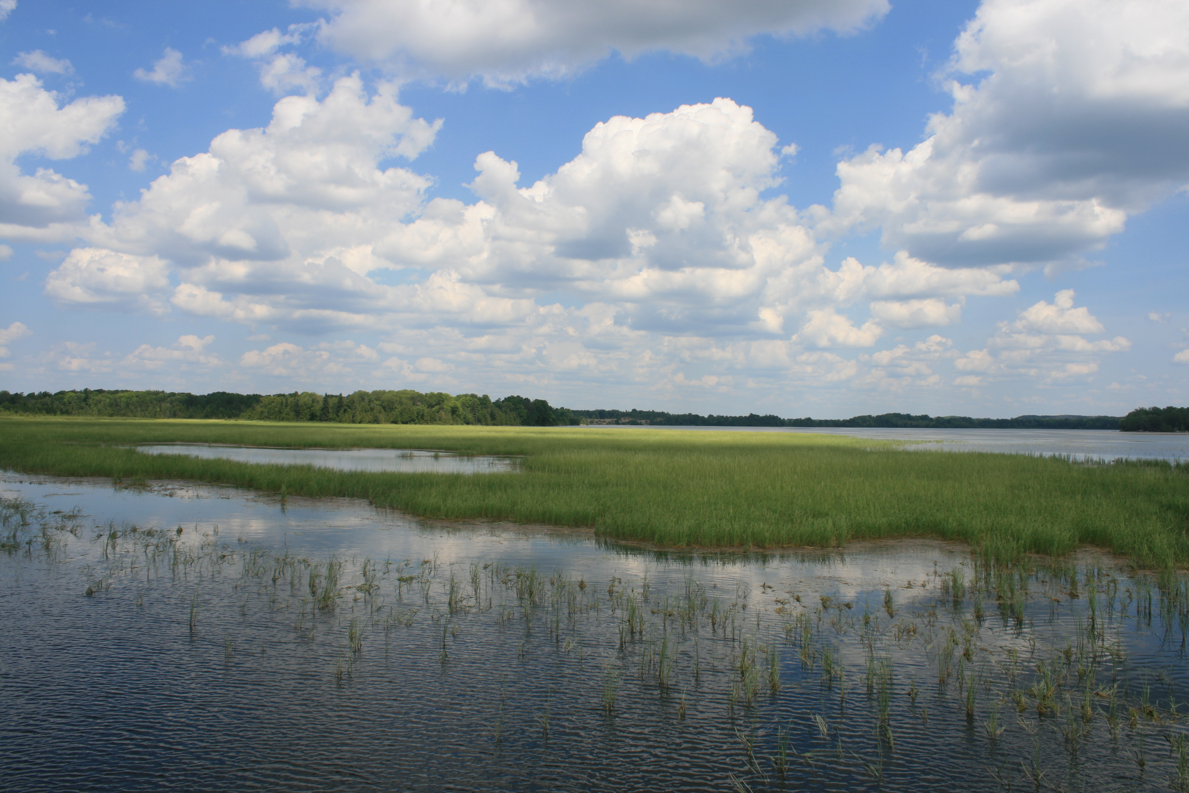
Cameron Lake

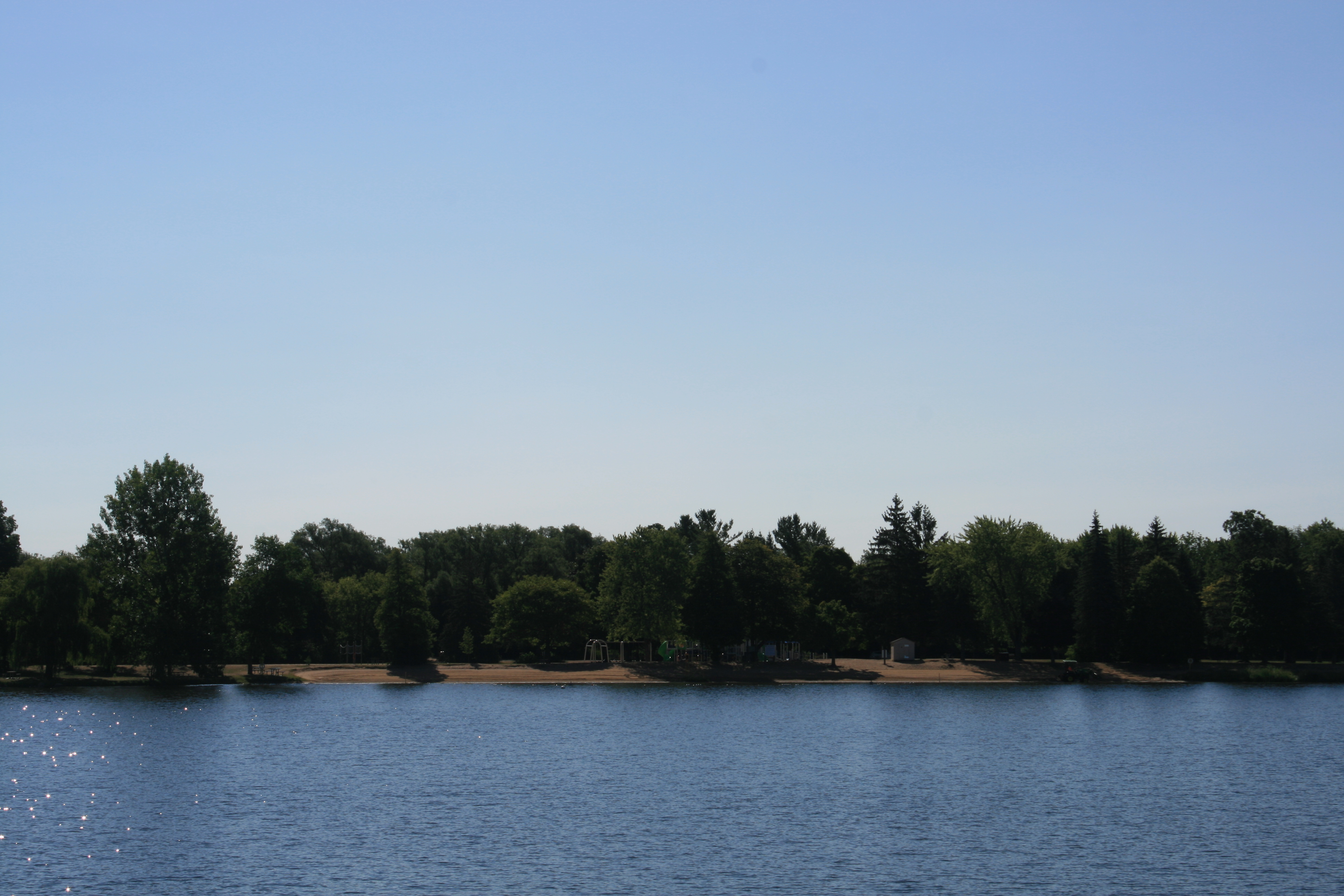
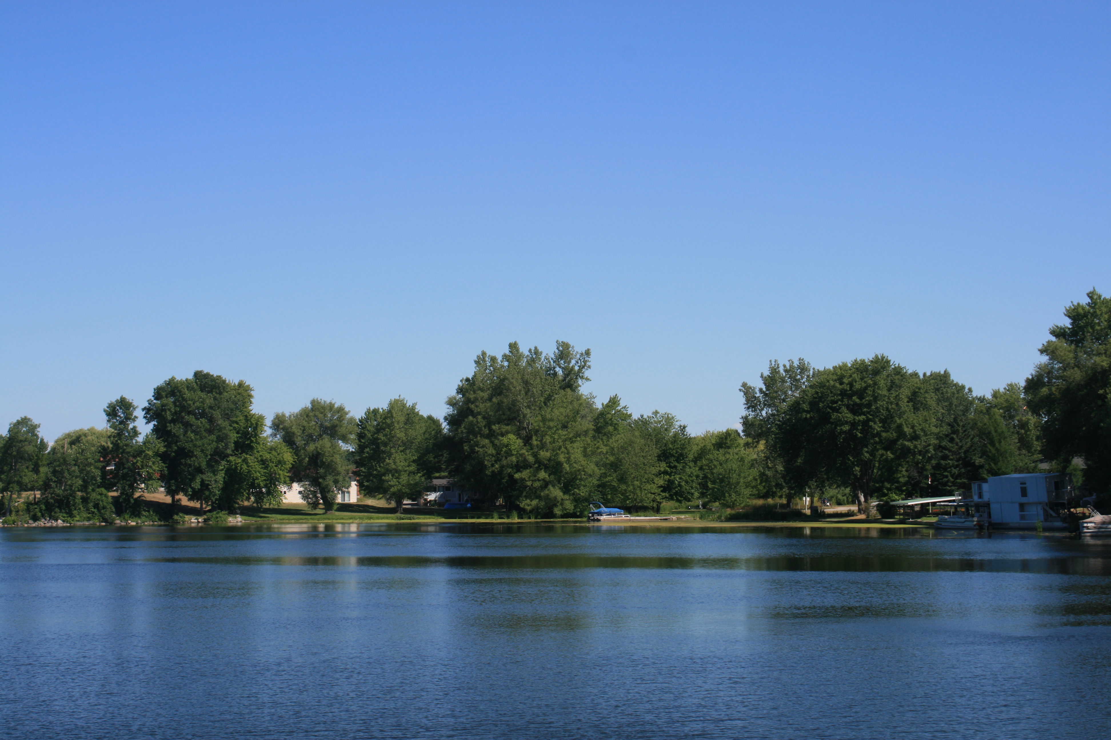
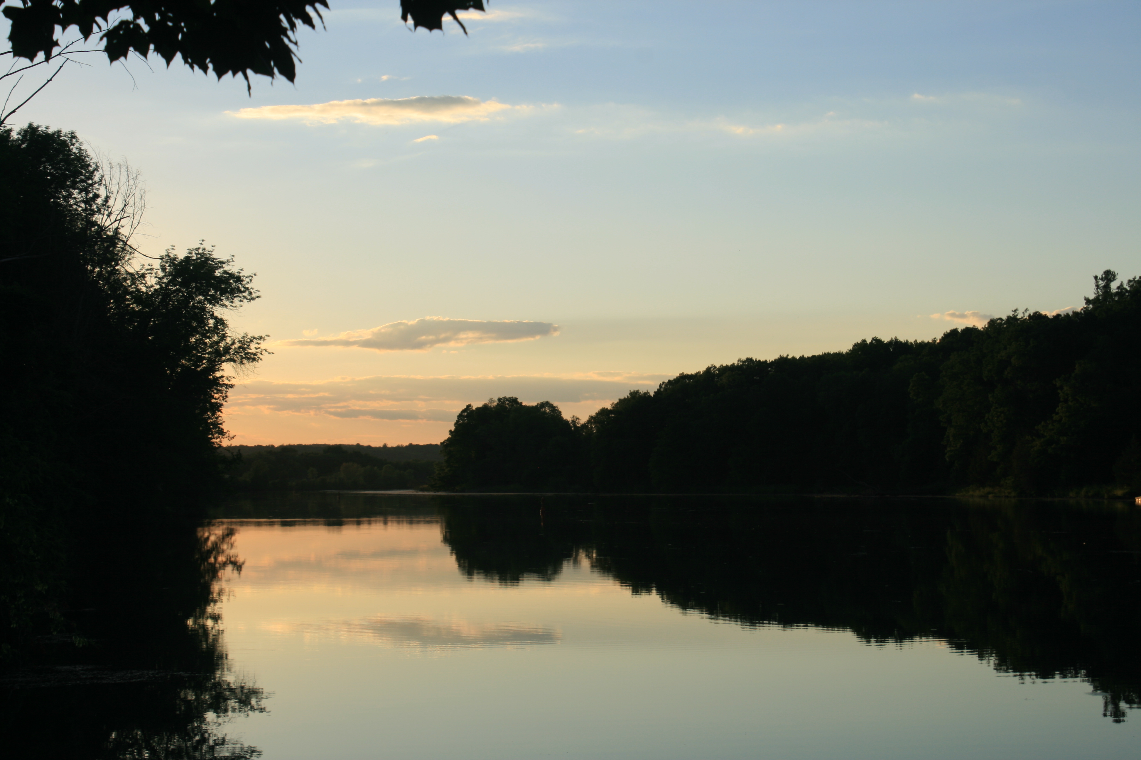
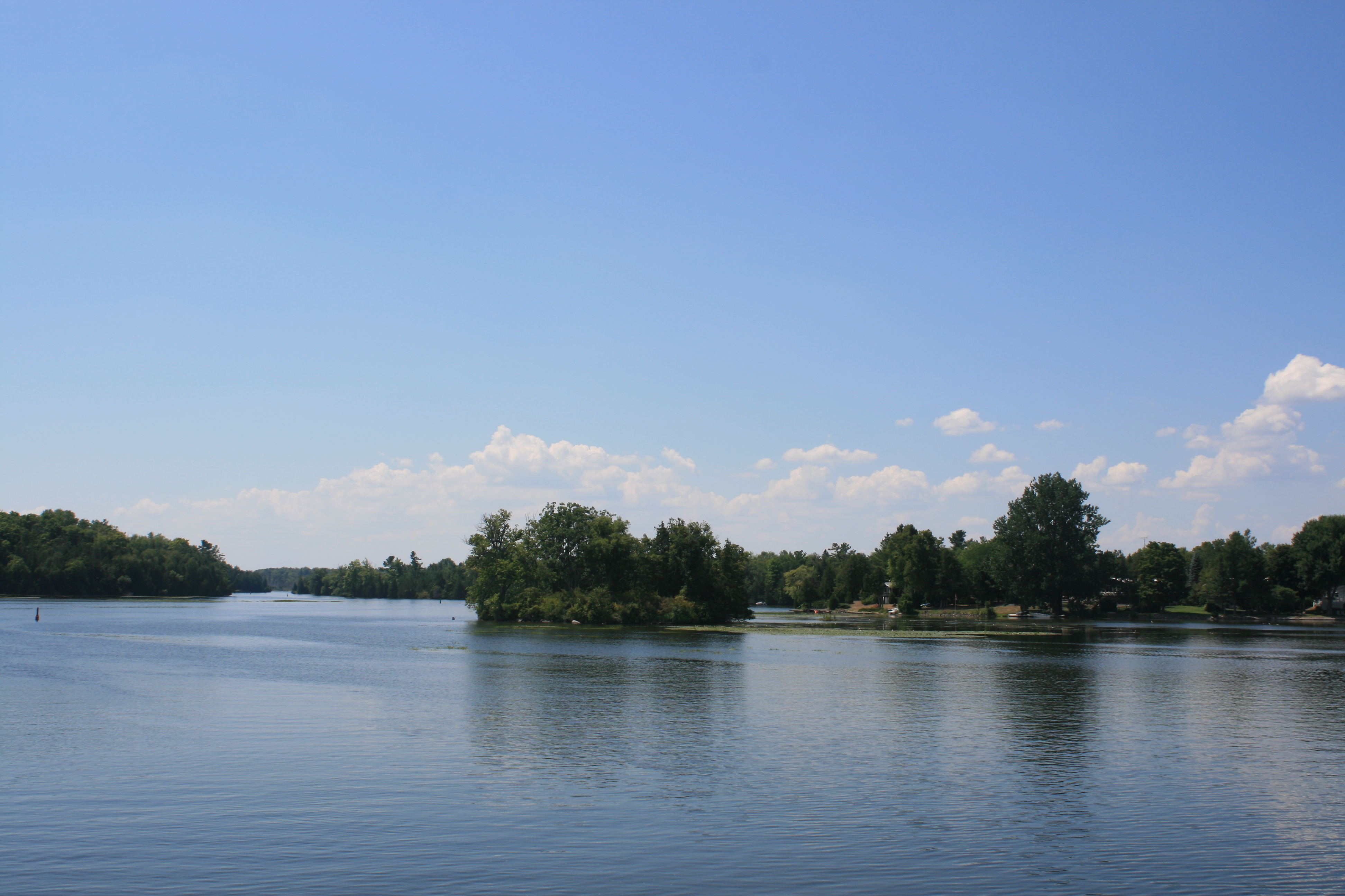
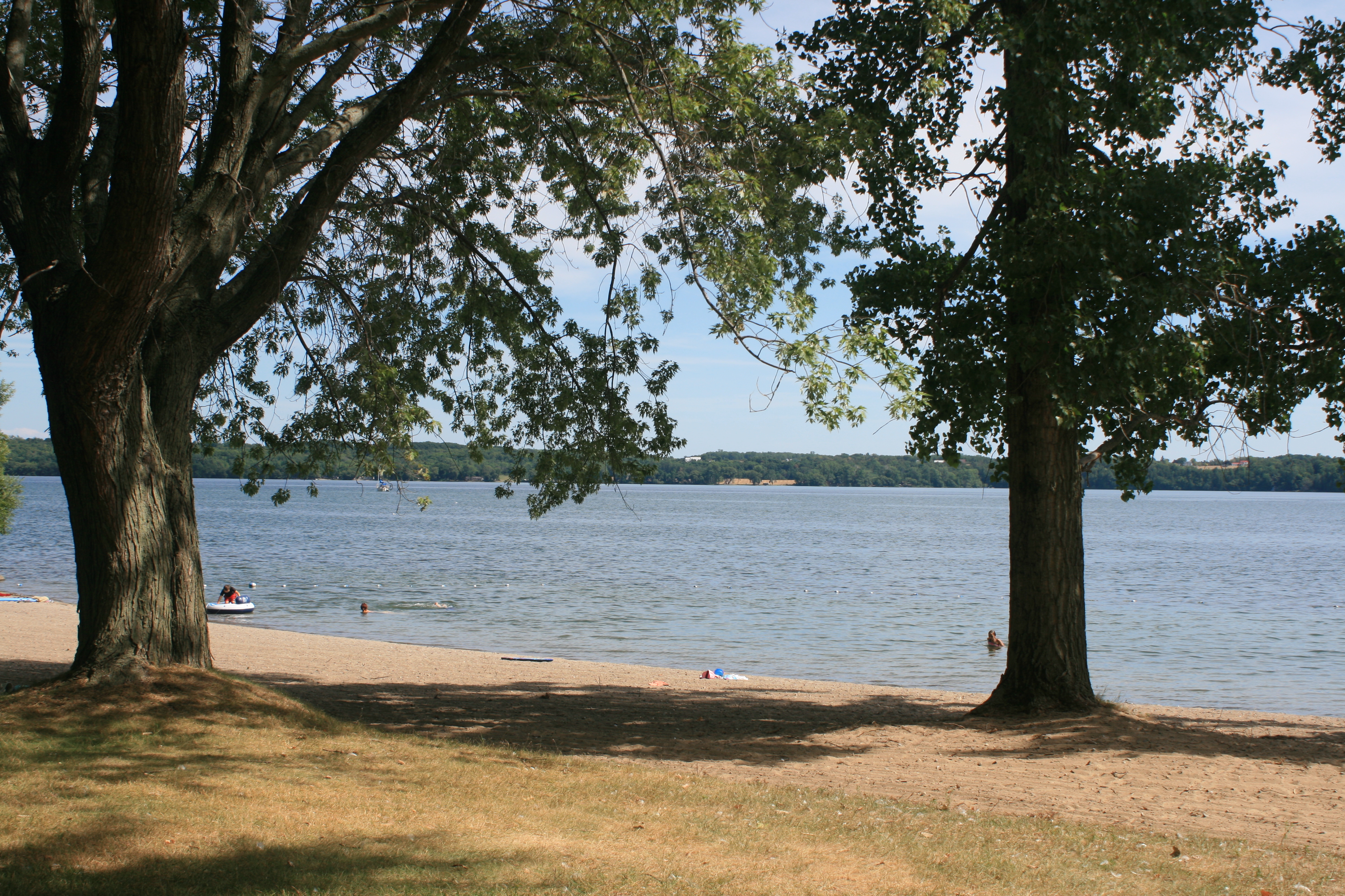
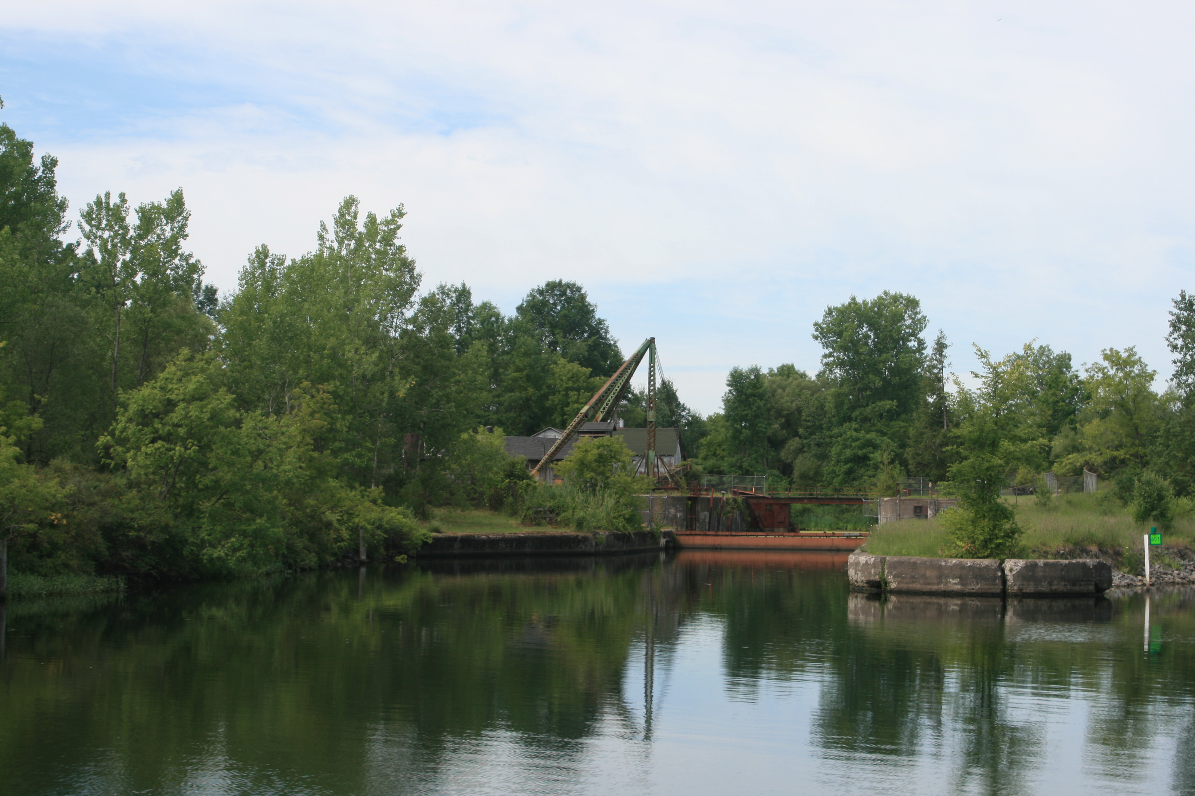
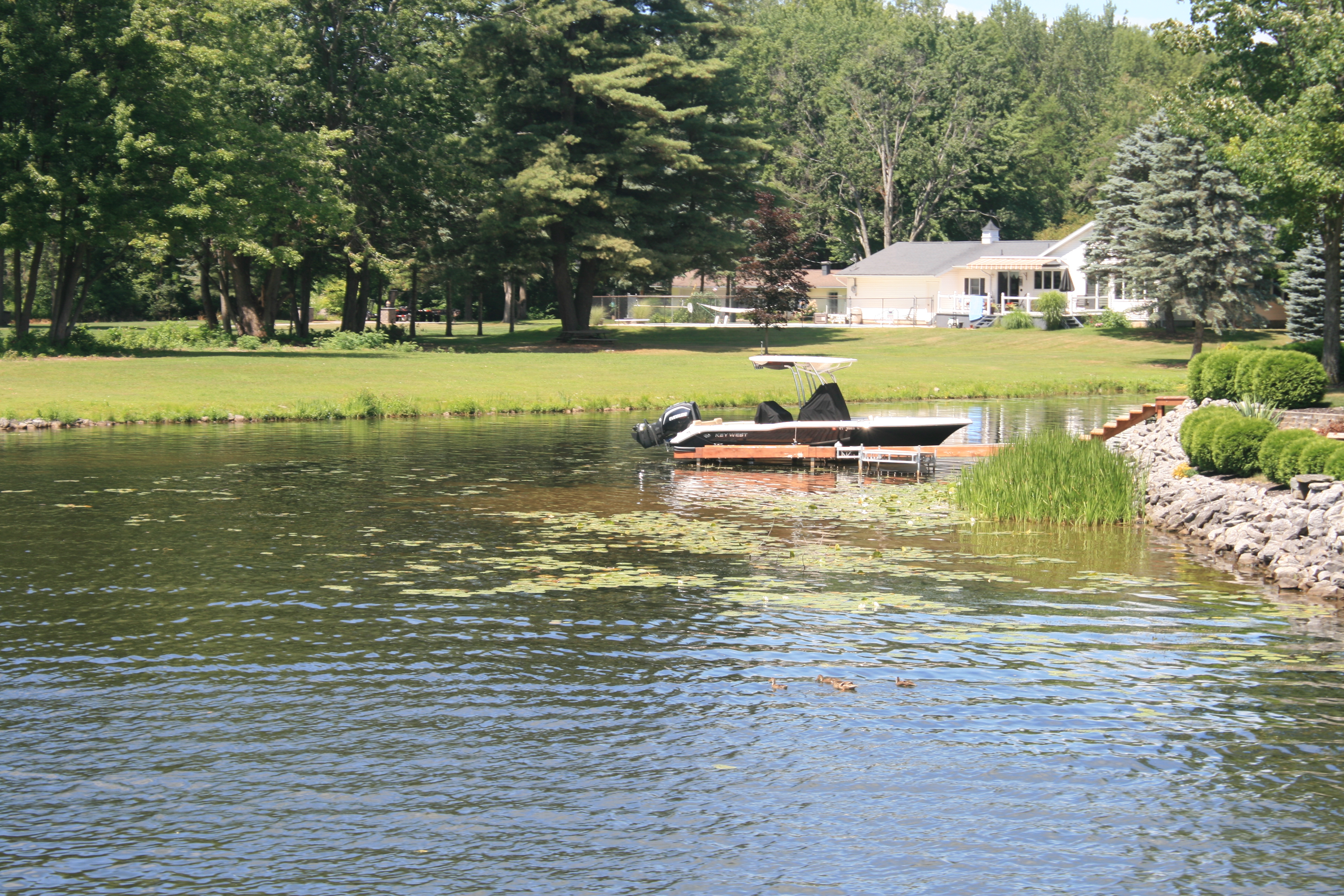
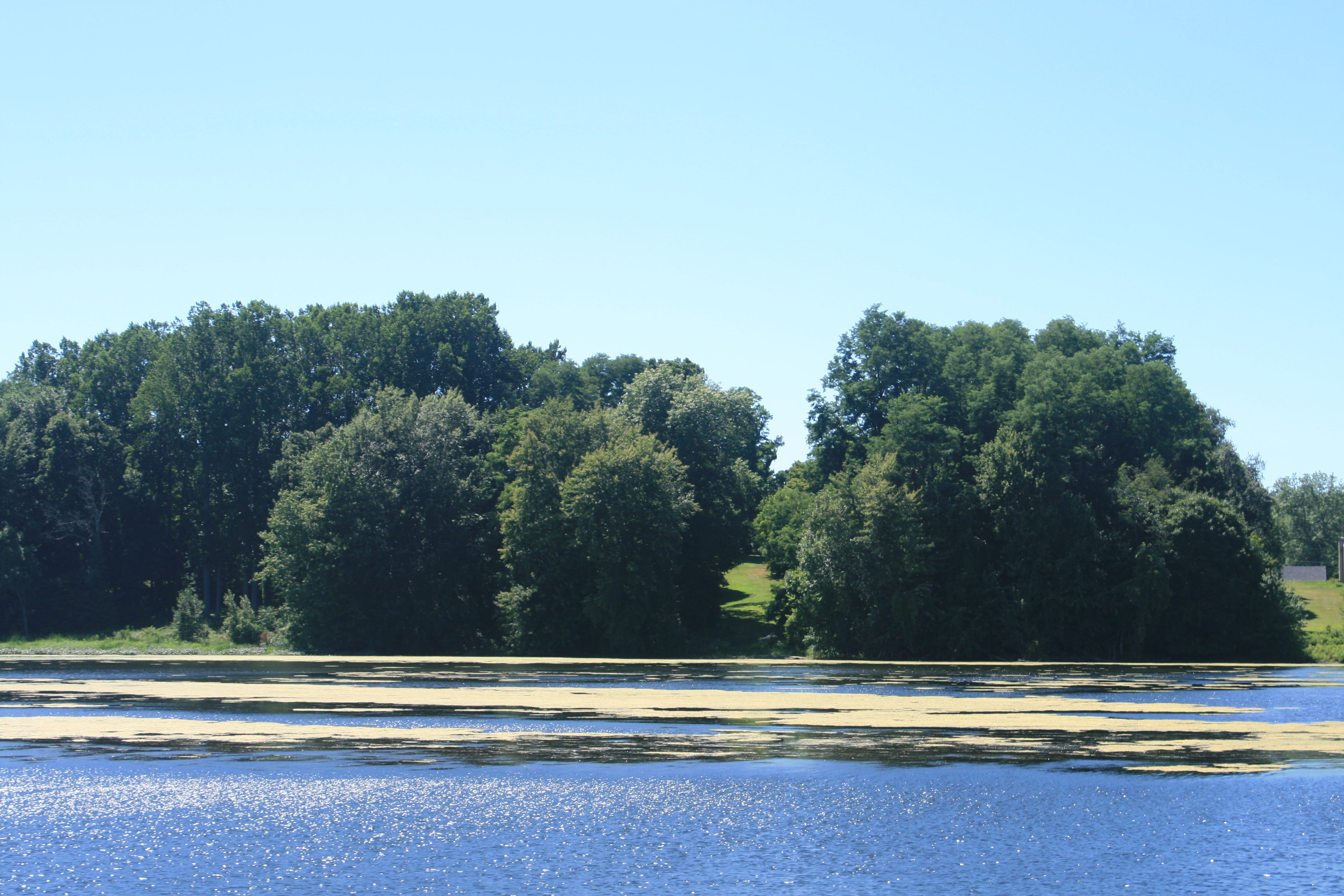
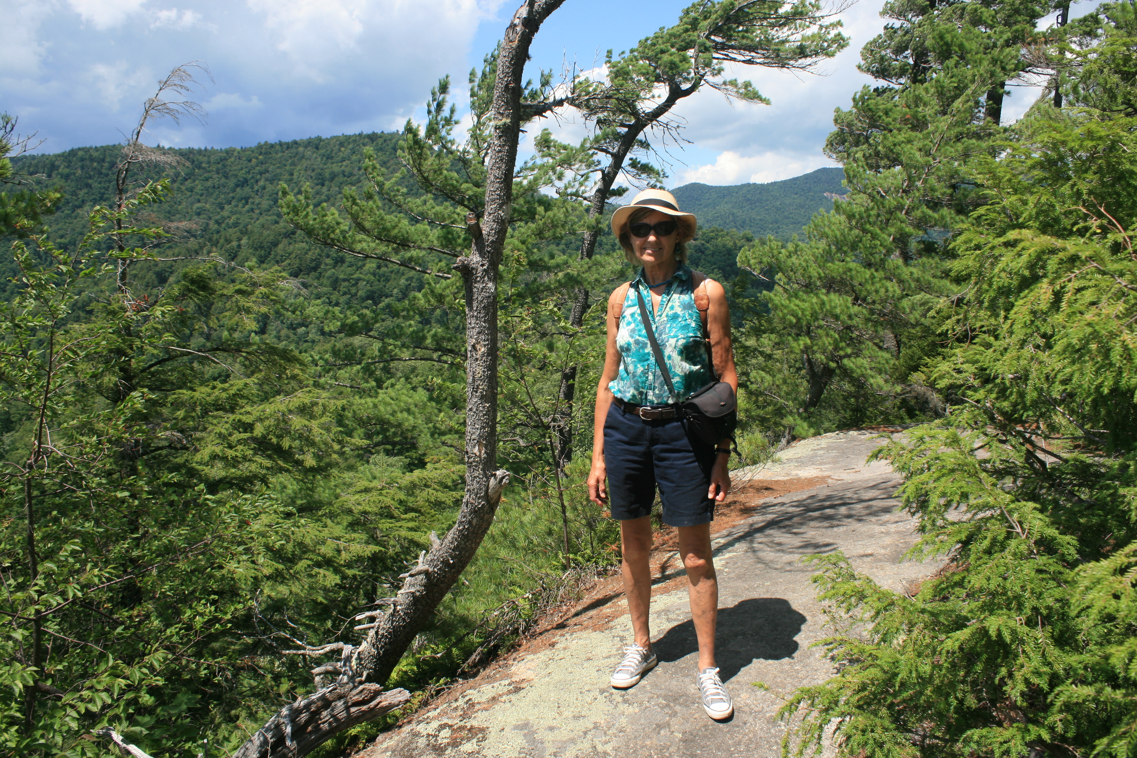
Looking back to the beach at Fenelon Falls
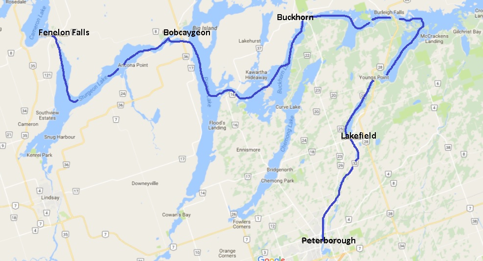
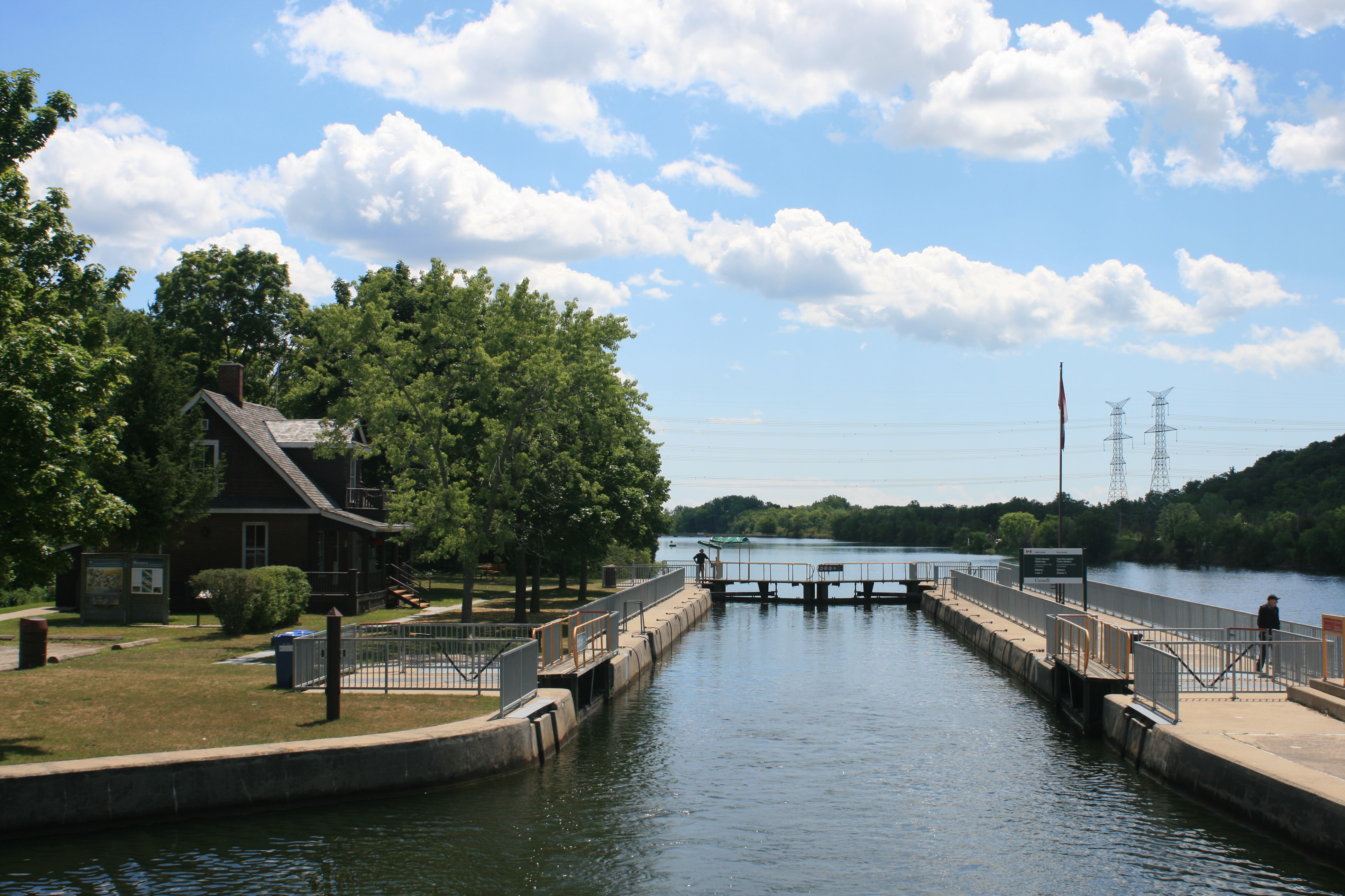
The day alternated between beautiful sparkling lakes and stretches of the Trent Canal, some very narrow. At Rosedale Lock, the lock-keeper warned us that after Balsam Lake, we would have to call on the radio to make sure that there weren’t any boats on the canal coming in the opposite direction, because the channel wasn’t wide enough to allow two boats to pass each other. There was a small incident of potential canal rage when one boater felt he had been unfairly kept waiting to go through, but it didn’t involve us.
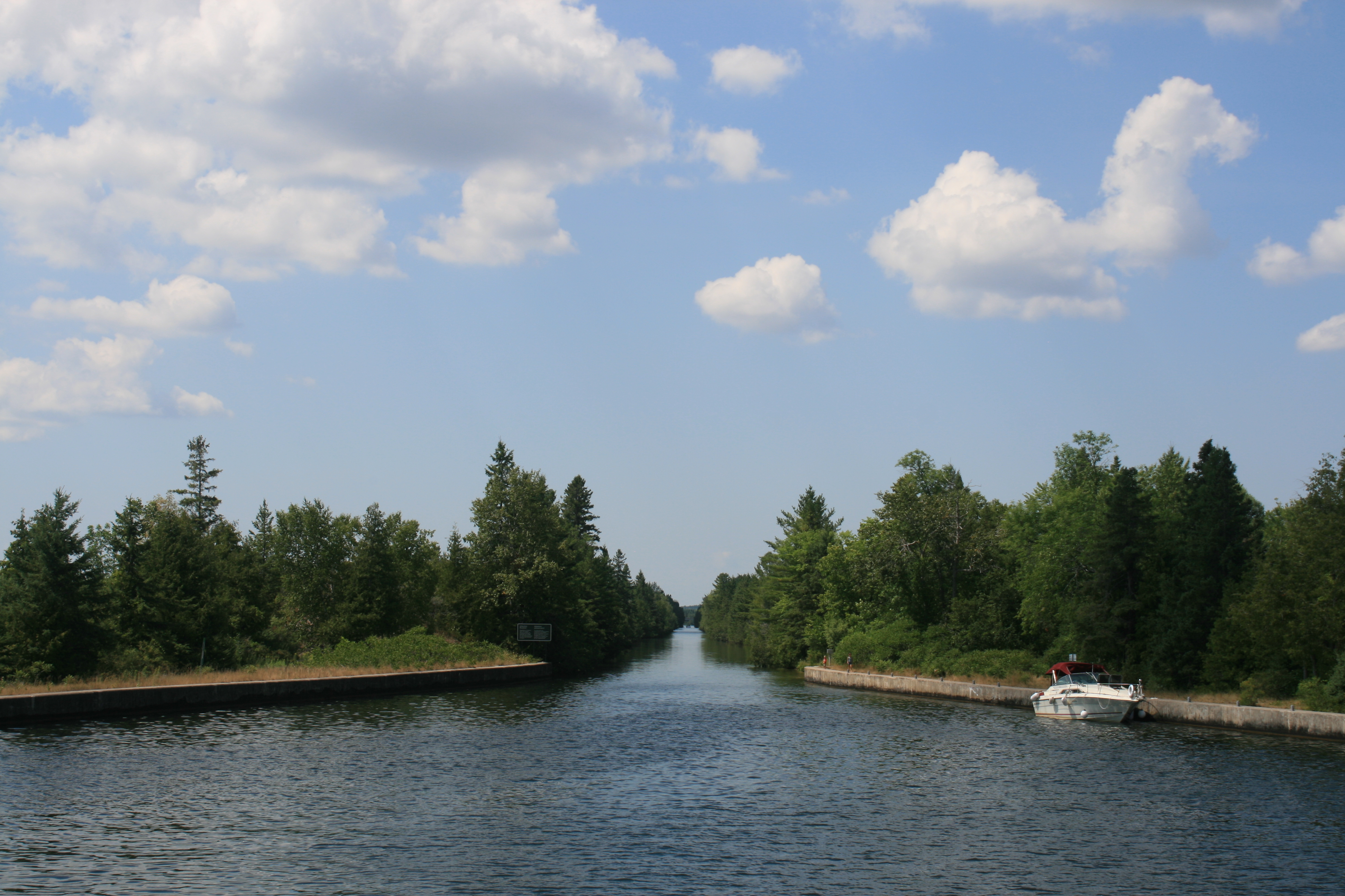
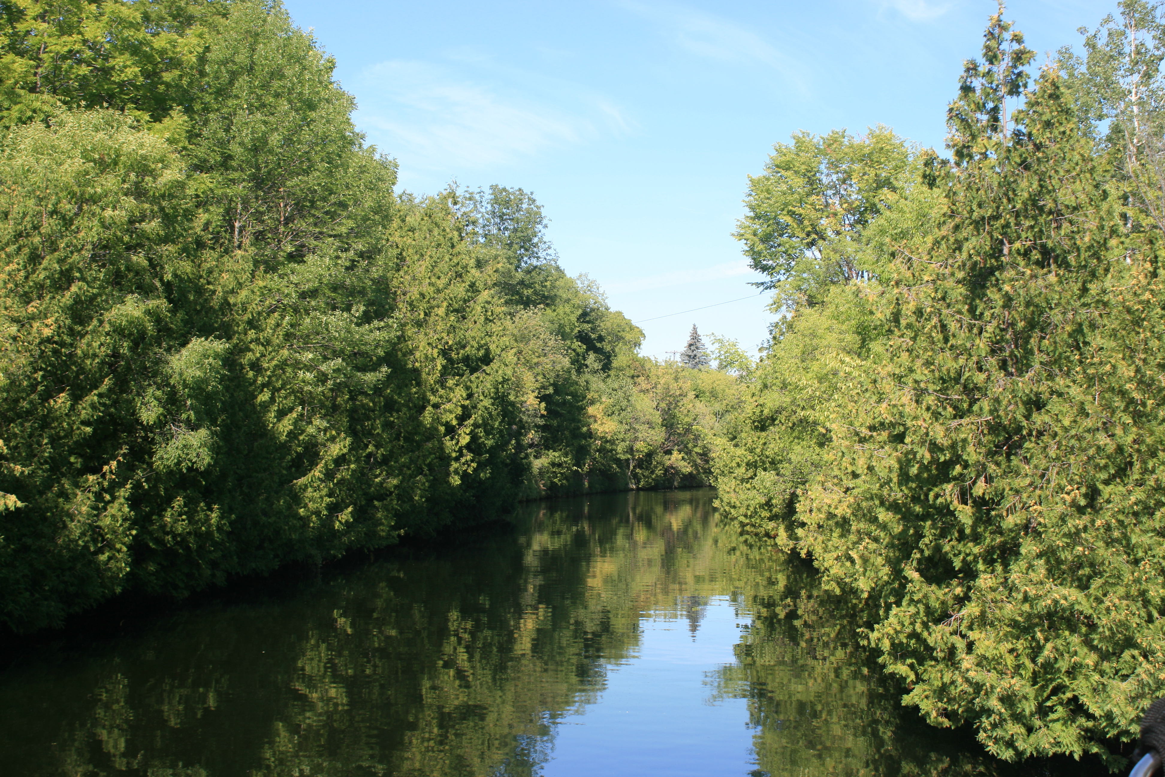
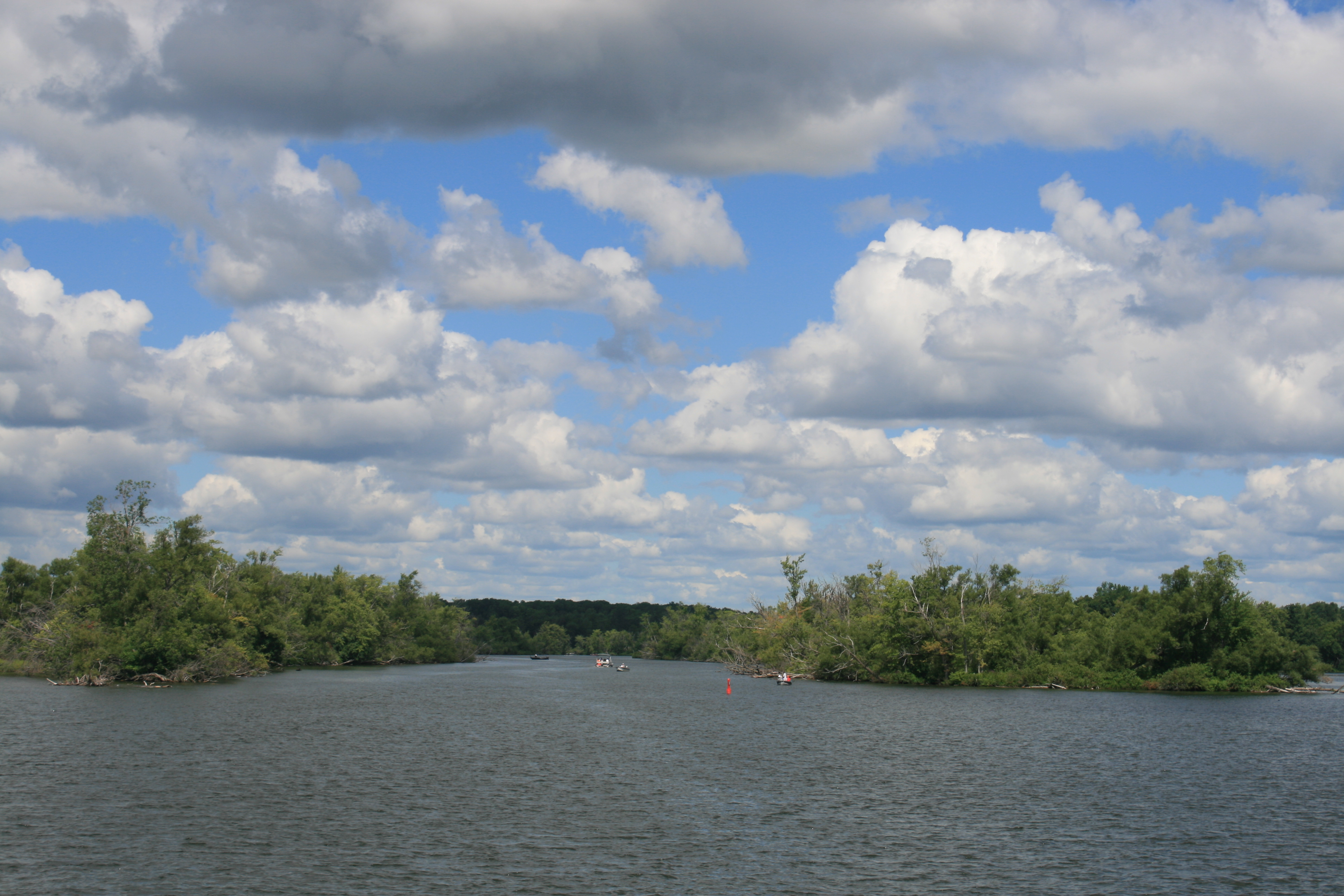
The Trent Canal at the top of Balsam Lake
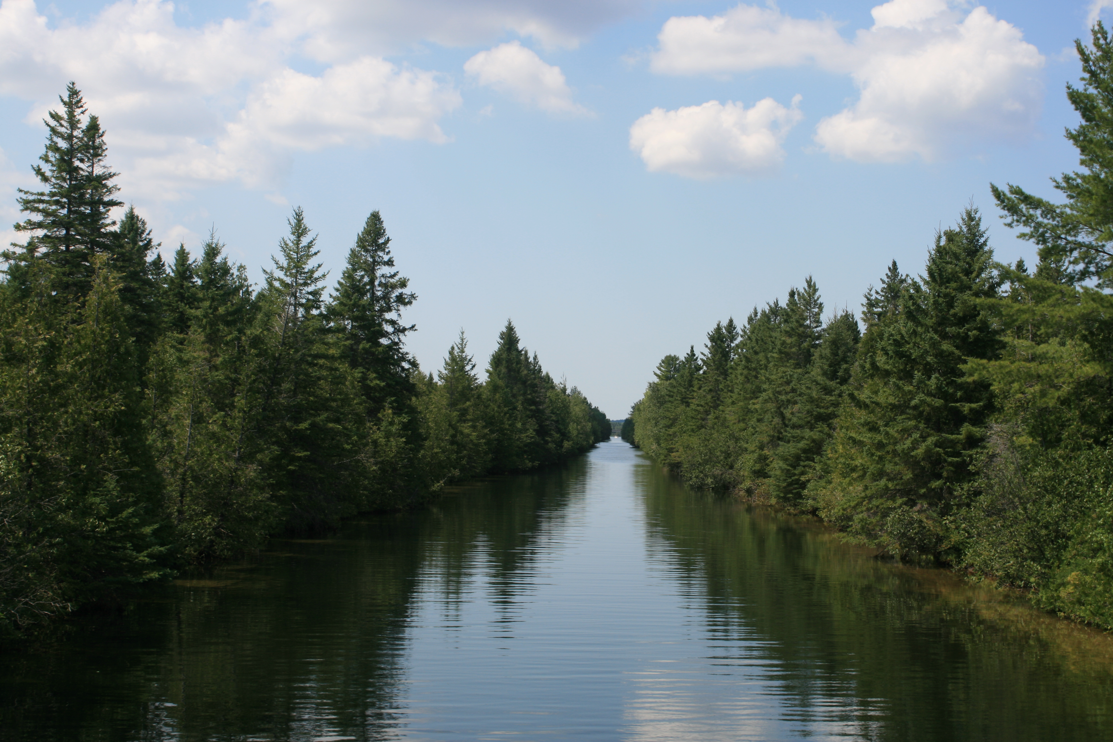
Trent Canal, top of Balsam Lake
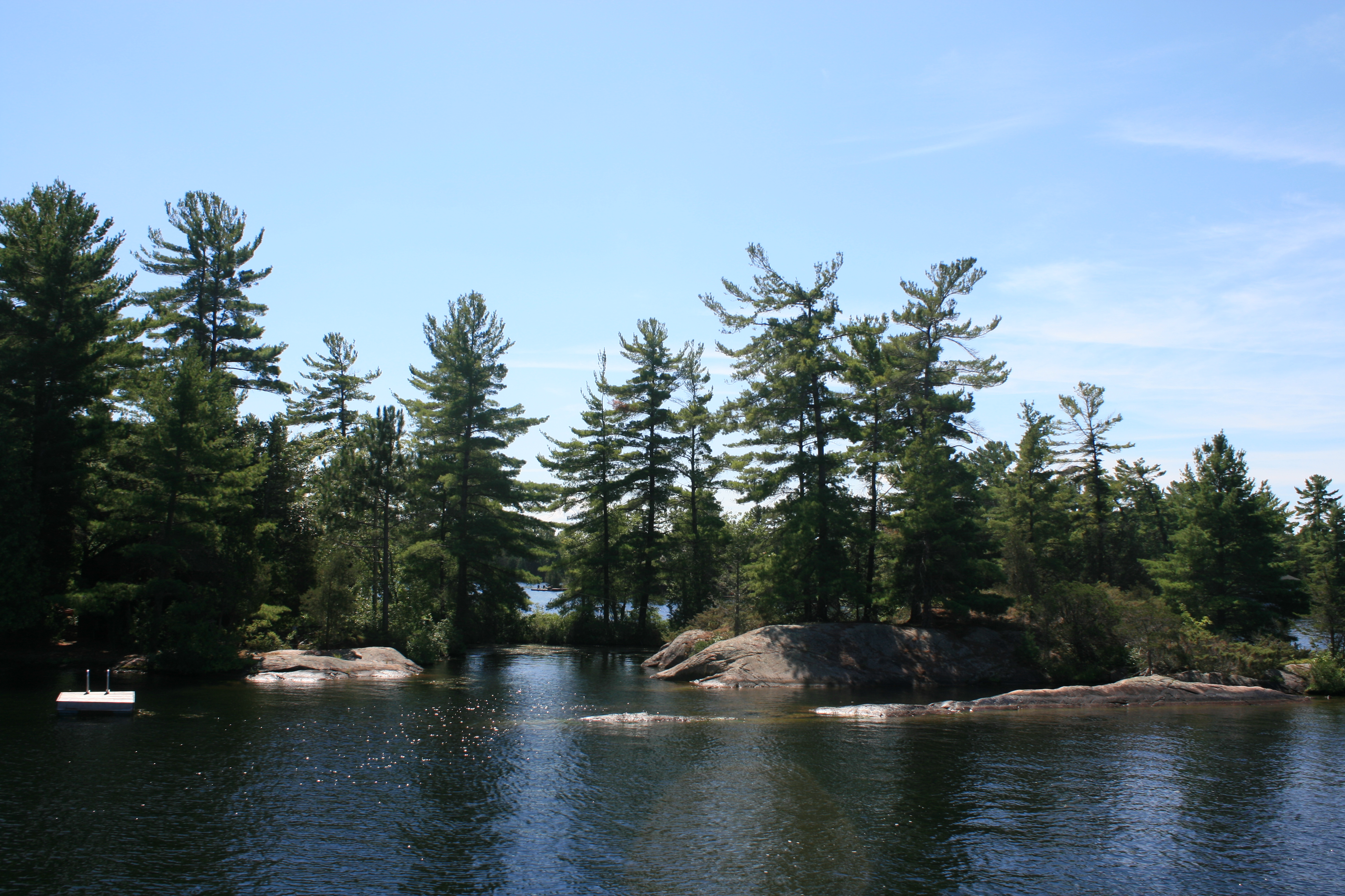
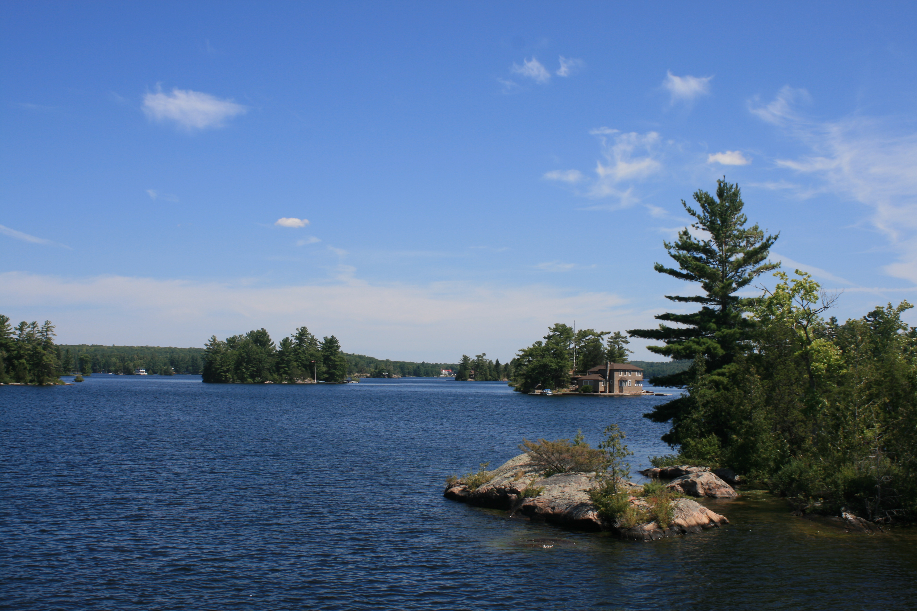
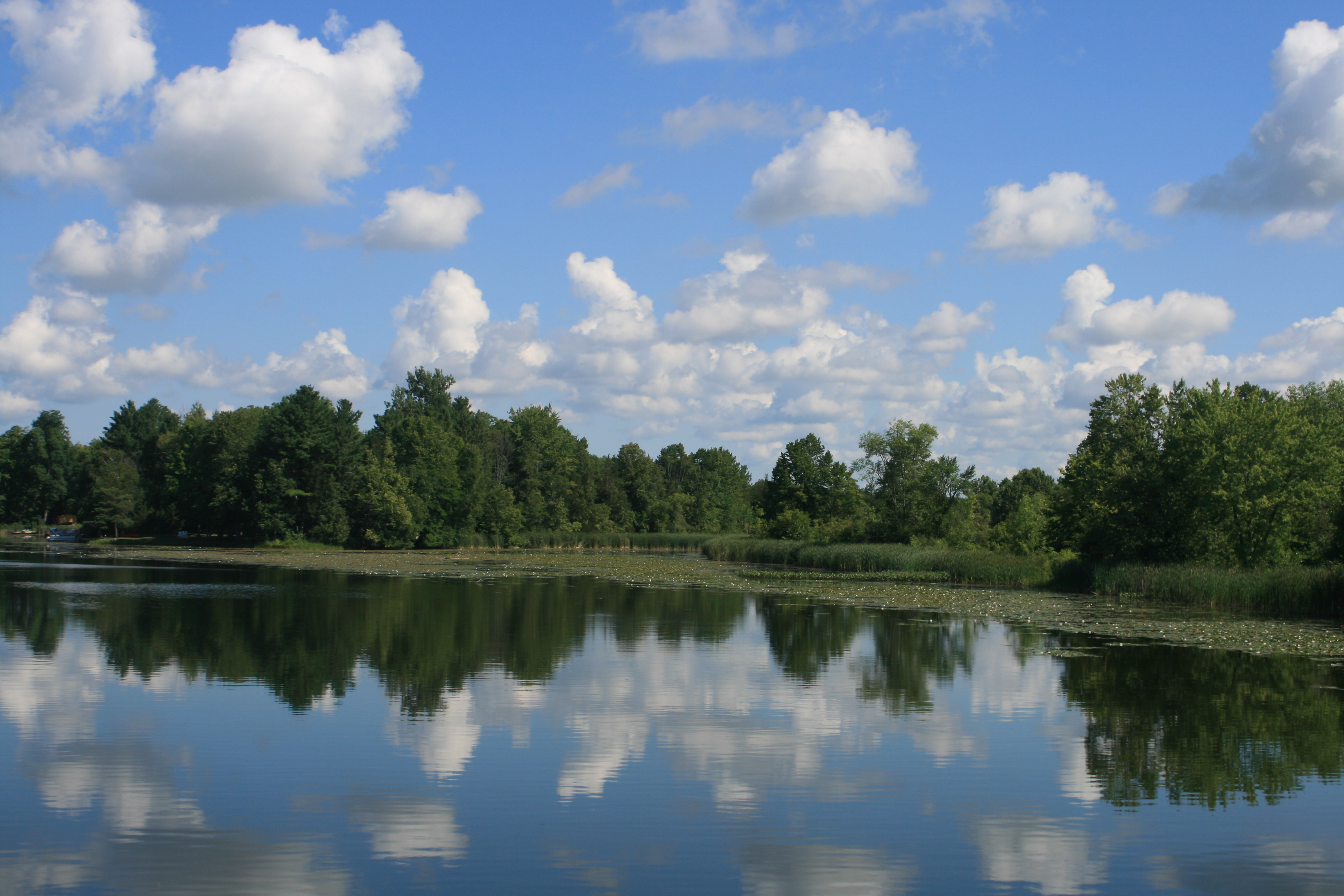
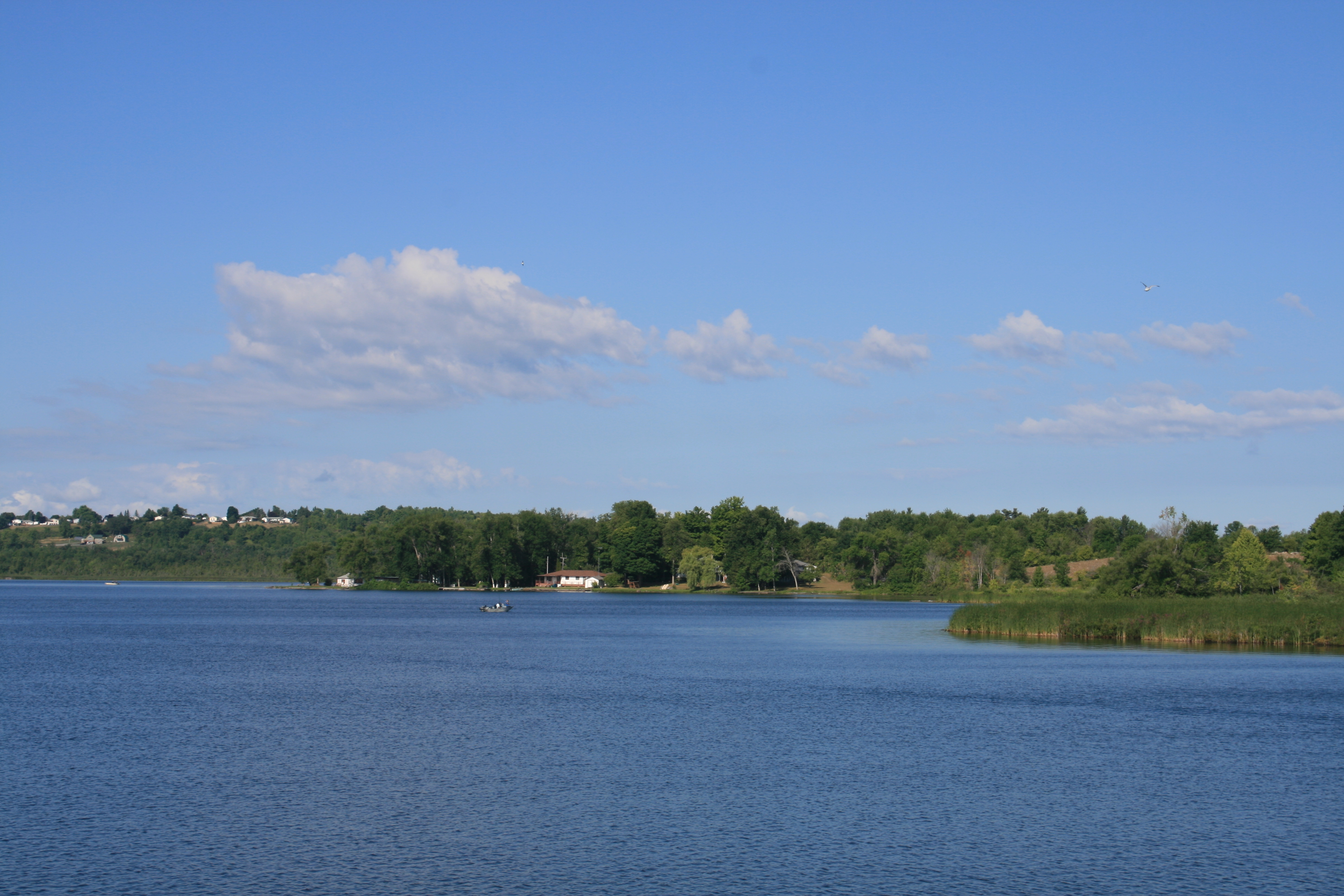
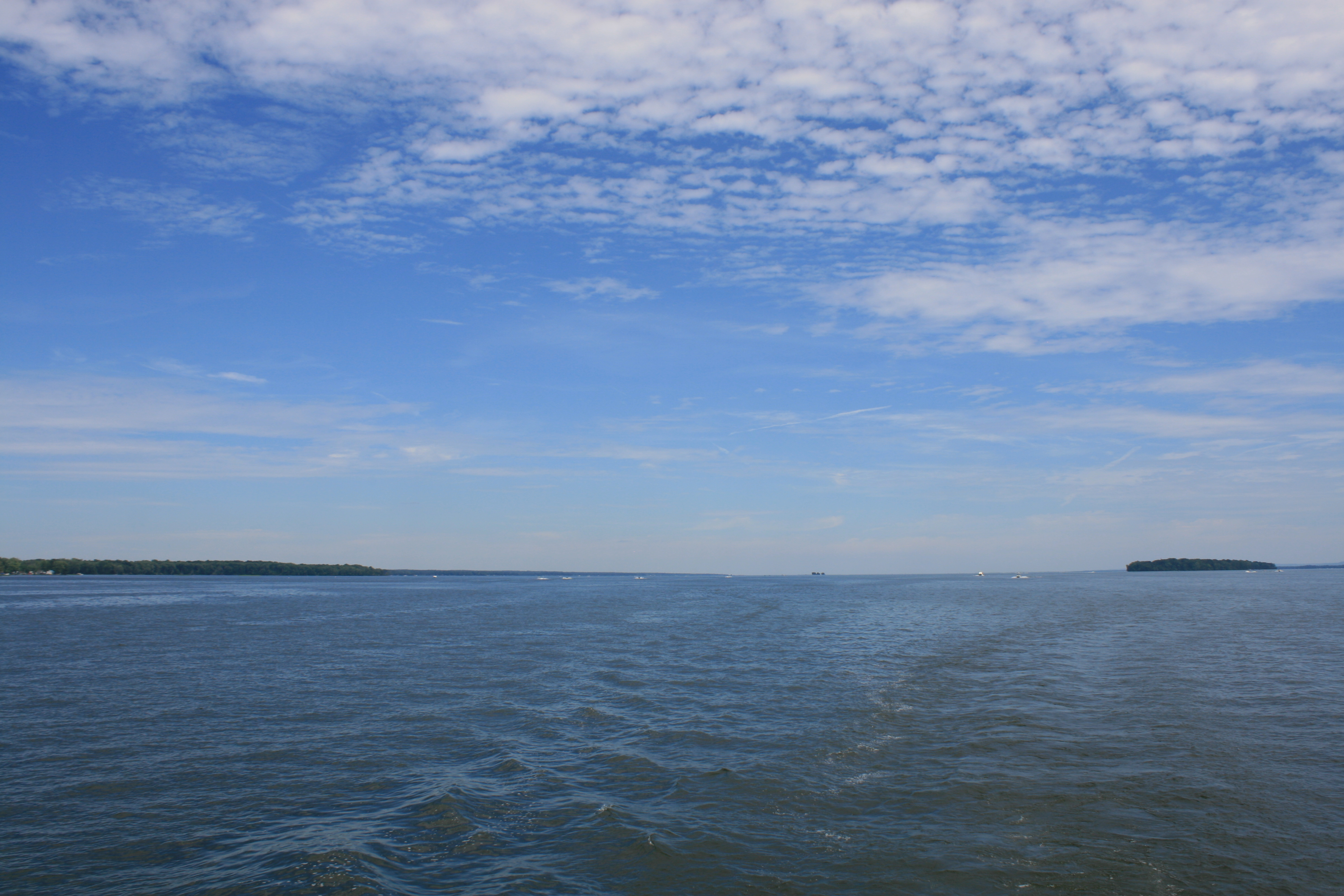
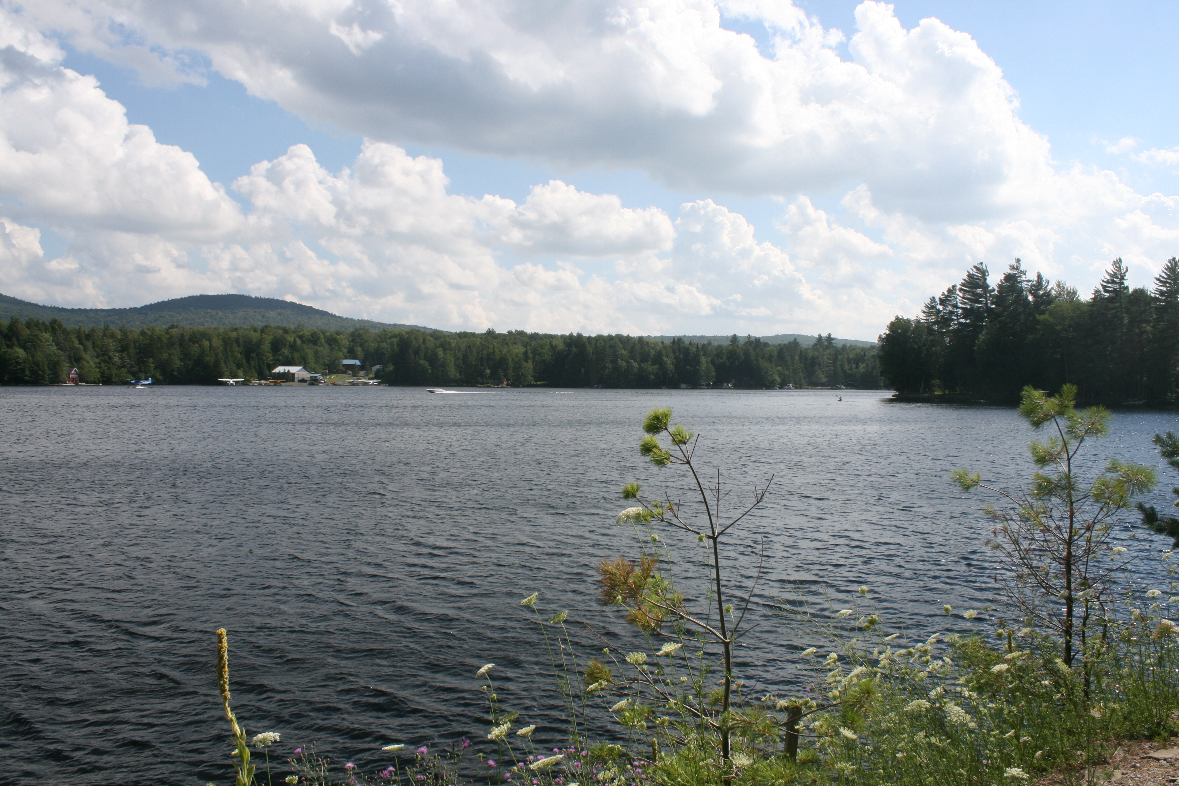
Mitchell Lake
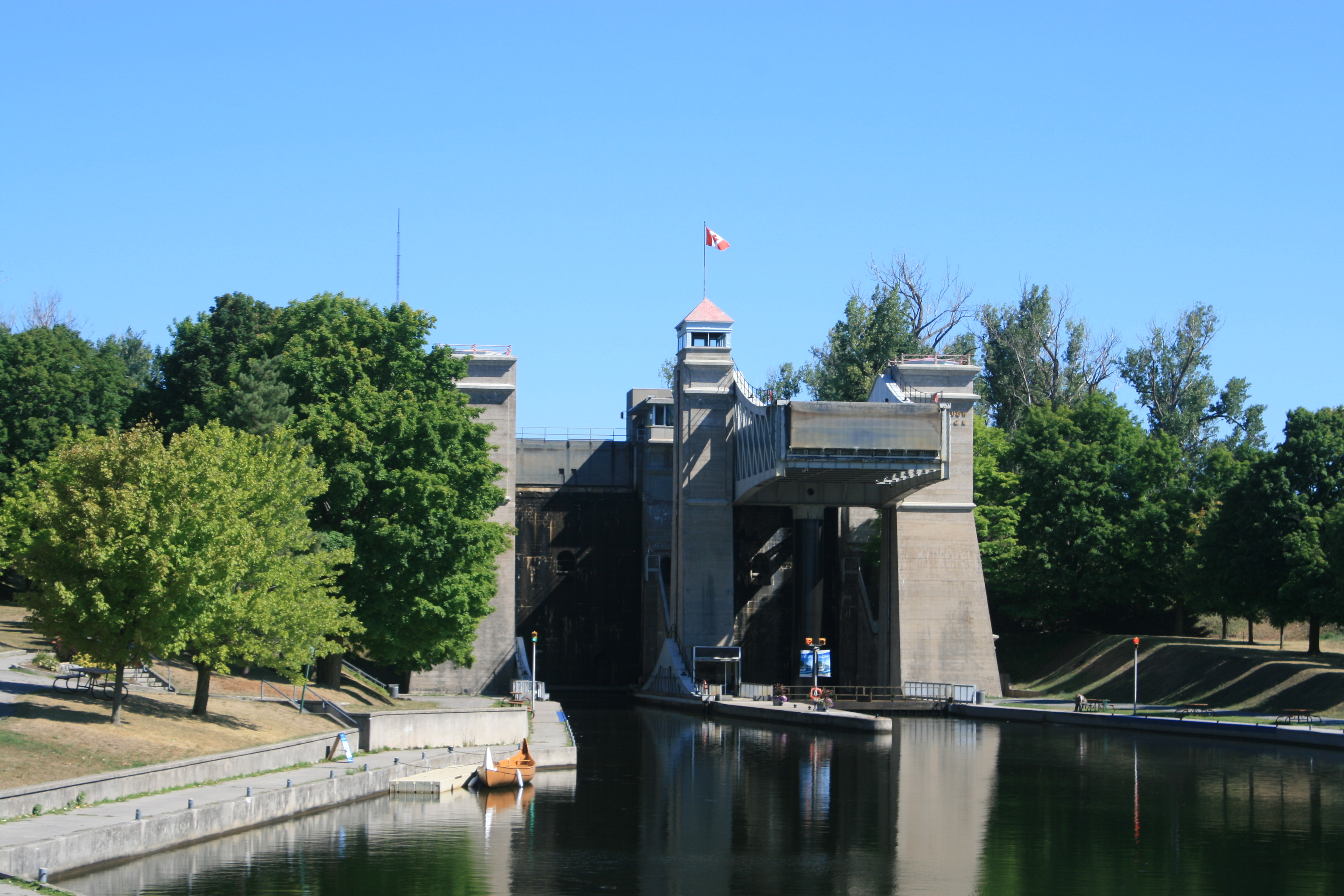
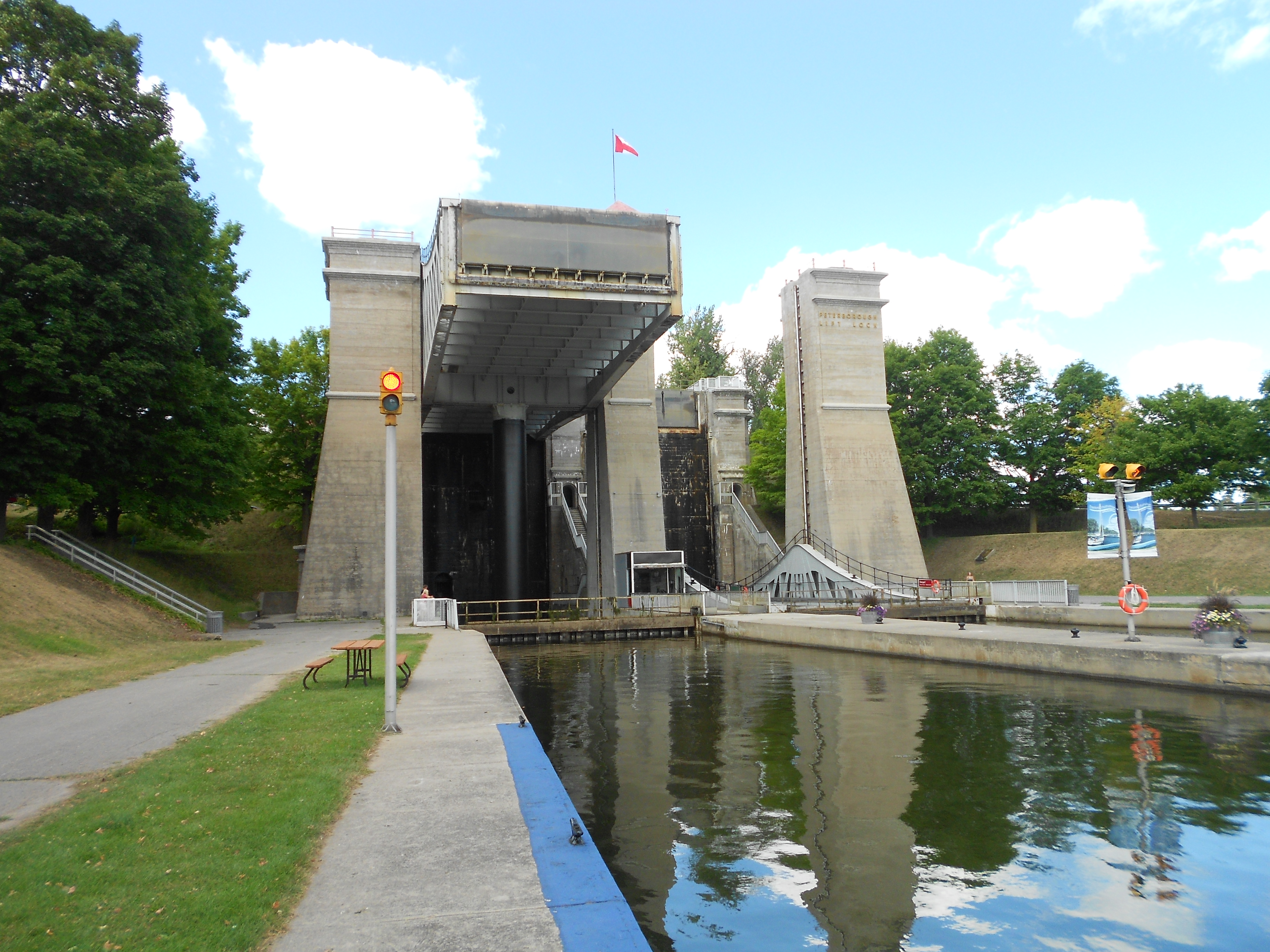
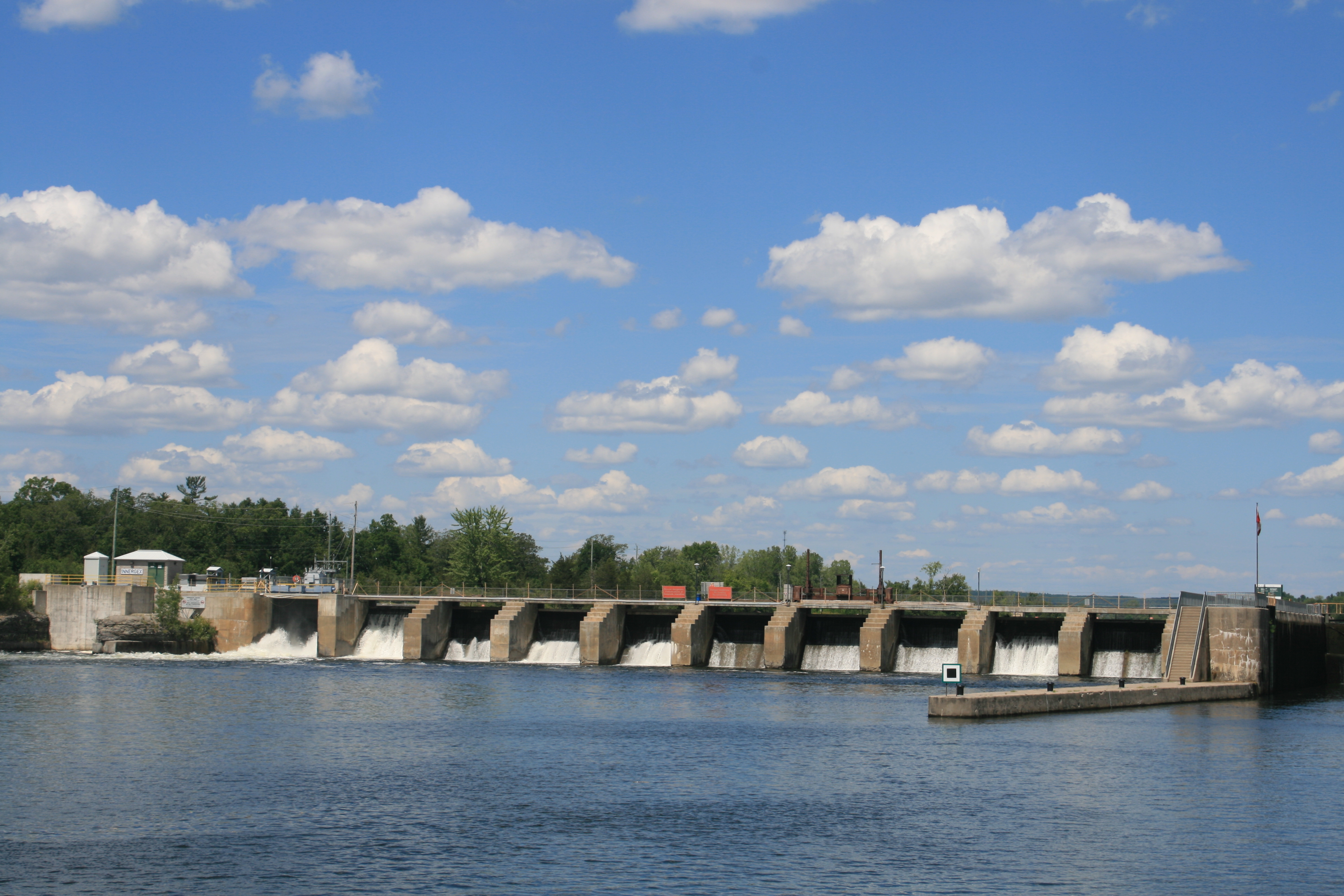
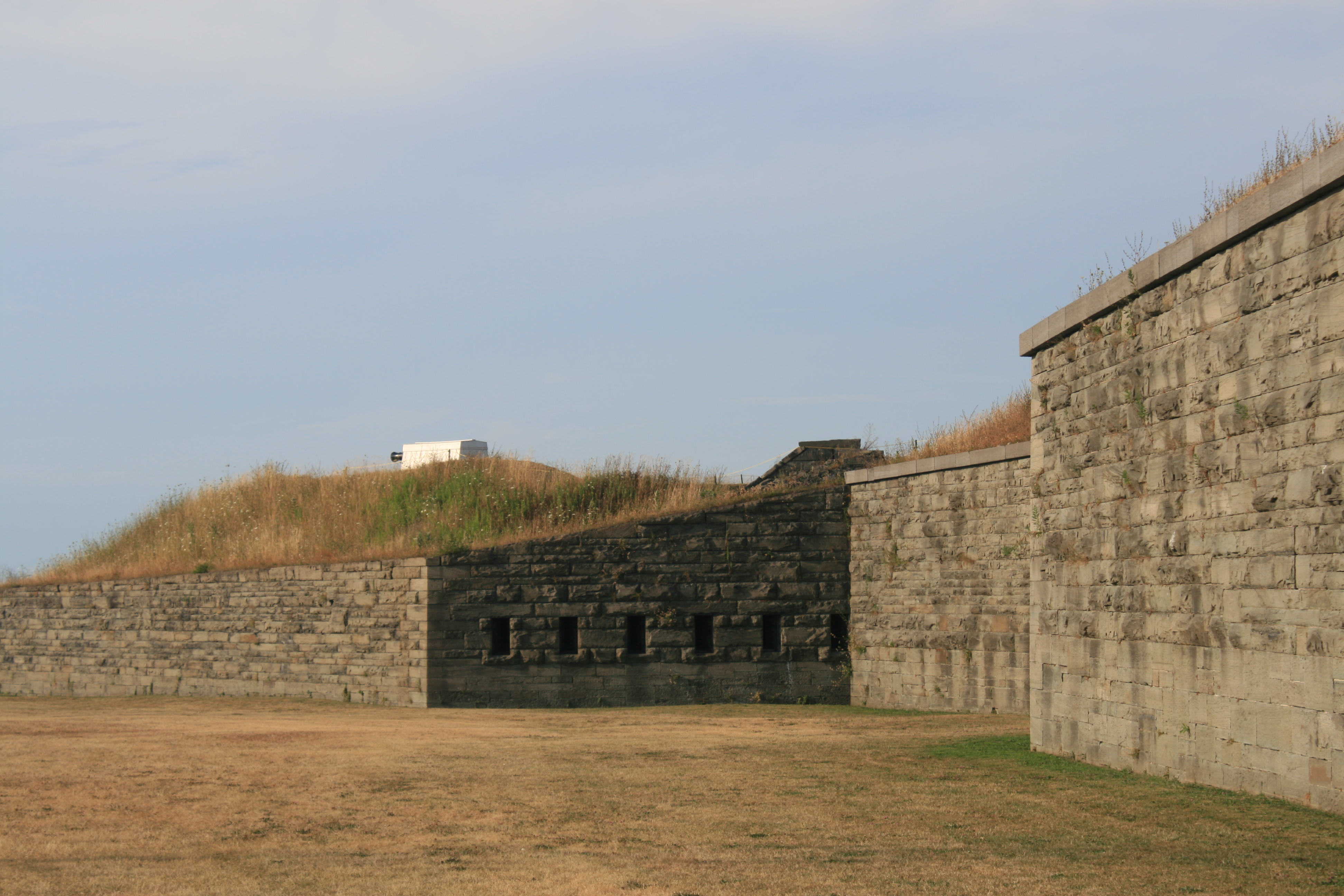
The stretch of the Trent Canal beyond Mitchell Lake contained the Kirkfield Lift Lock, and was the highest point on the waterway. The lock was built to the same design as the Peterborough Lift Lock, but the height is only 49′. It was still quite awe-inspiring though, to see the land, and our westward journey, stretching away from us as we waited for the lock to descend.
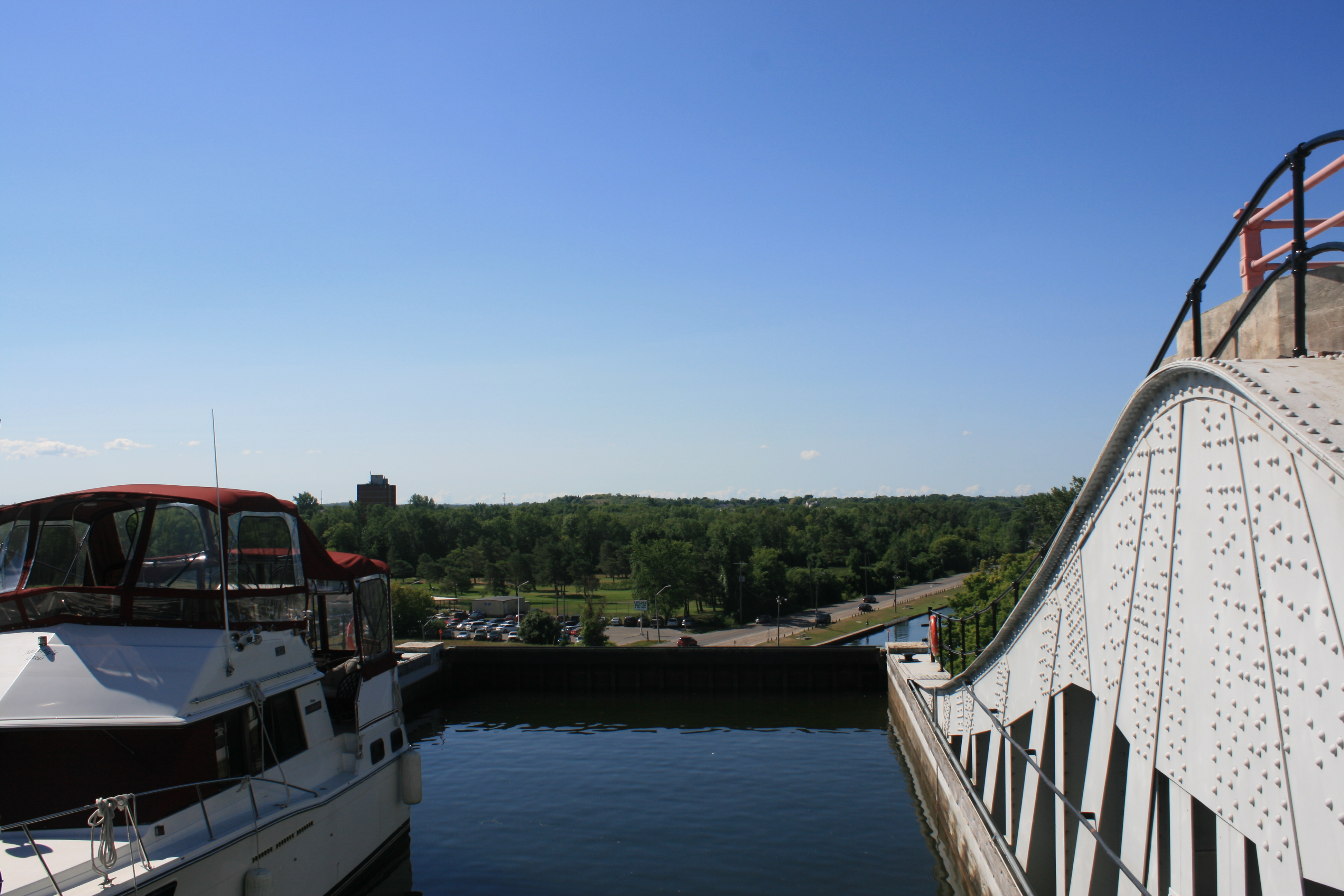
At the top of Kirkfield Lift Lock
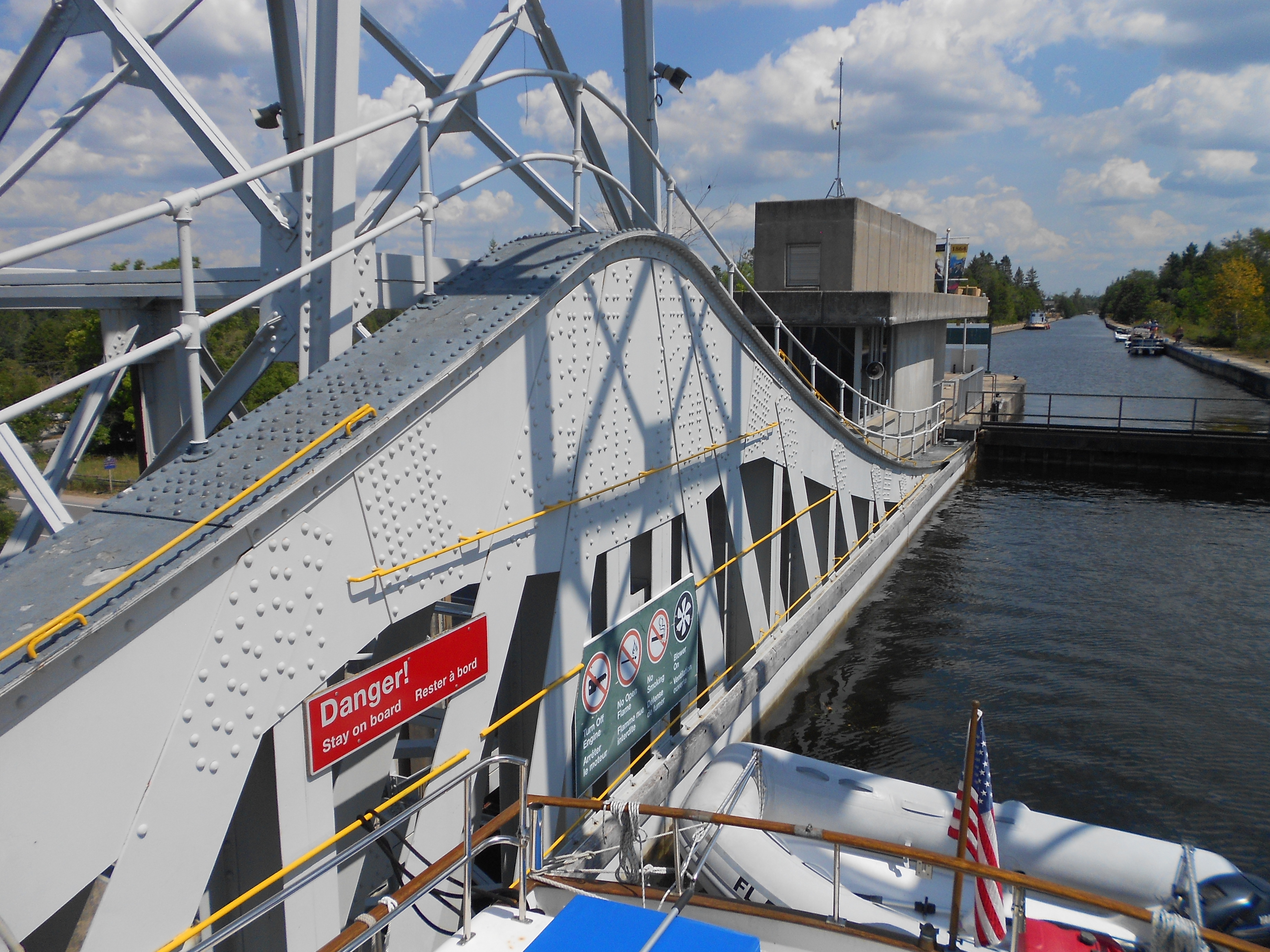
In the lift lock, going down
The next big thing was Lake Simcoe, a few miles further down the straight stretch of the Trent Canal. Although not as large as Lake Ontario, Simcoe is subject to capricious weather patterns and comes with a serious health warning. So we had to wait for a suitable weather window to present itself, keeping one eye on the fact that we needed to be across the lake and in Orillia in time to pick up a hire car to meet Liz and Nick in Toronto the following Tuesday night.
By now, the weather was sweltering. It was being described on the radio as a ‘heat event’ for the Kawartha Lakes area. Strong winds and thunderstorms were forecast and we tied up at Lock 39 to sit it out. There was no power available on the lock wall, which meant that we couldn’t have the air-con on inside the boat, without running the generator. There were some other boats tied up too and we didn’t like to disturb them. So a hot, sticky night passed rather uncomfortably. The next day the winds and heat persisted but the thunderstorms didn’t materialise until the middle of the night, when we woke to the sound of heavy rain and a welcome drop in temperature.
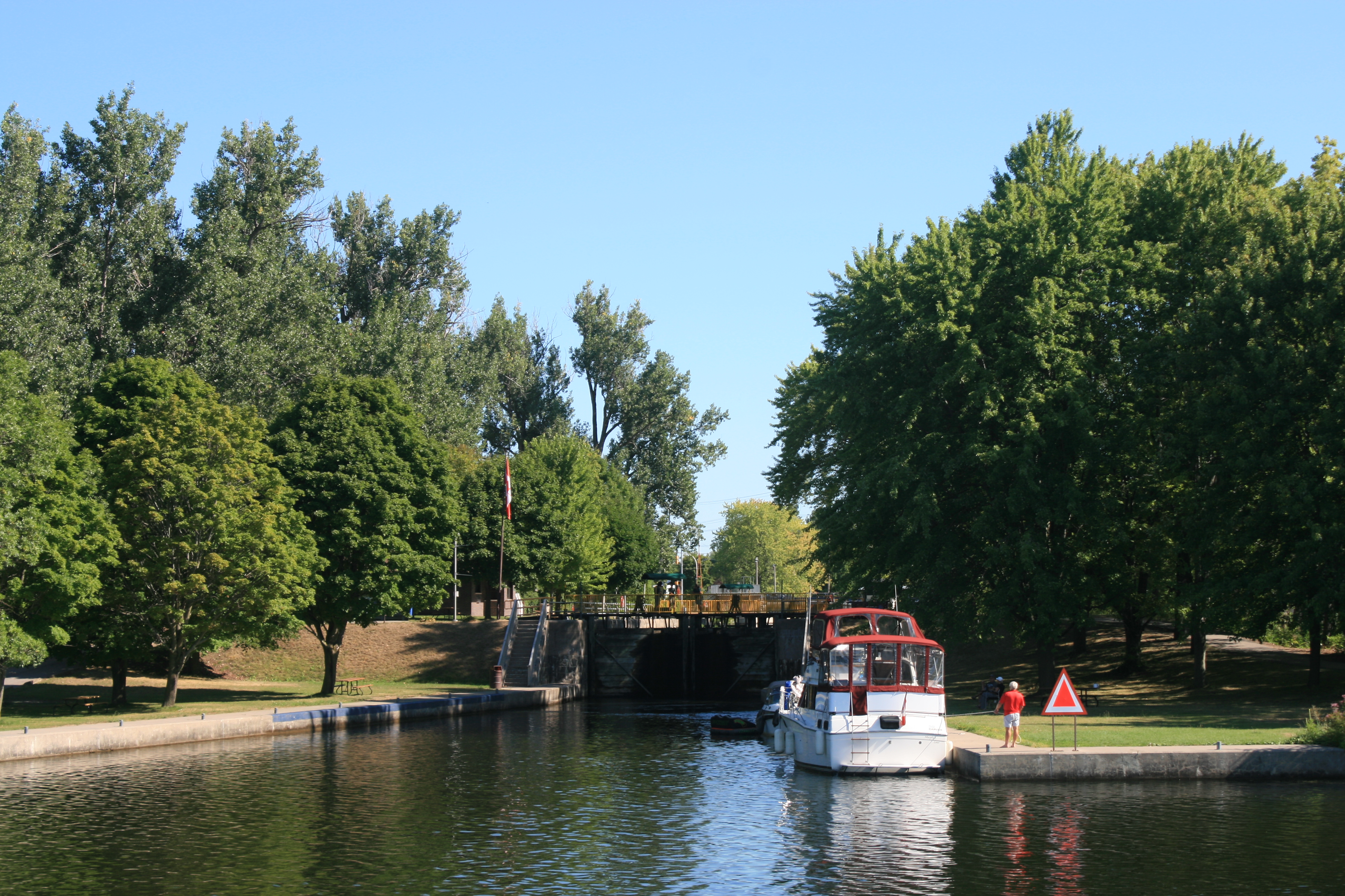
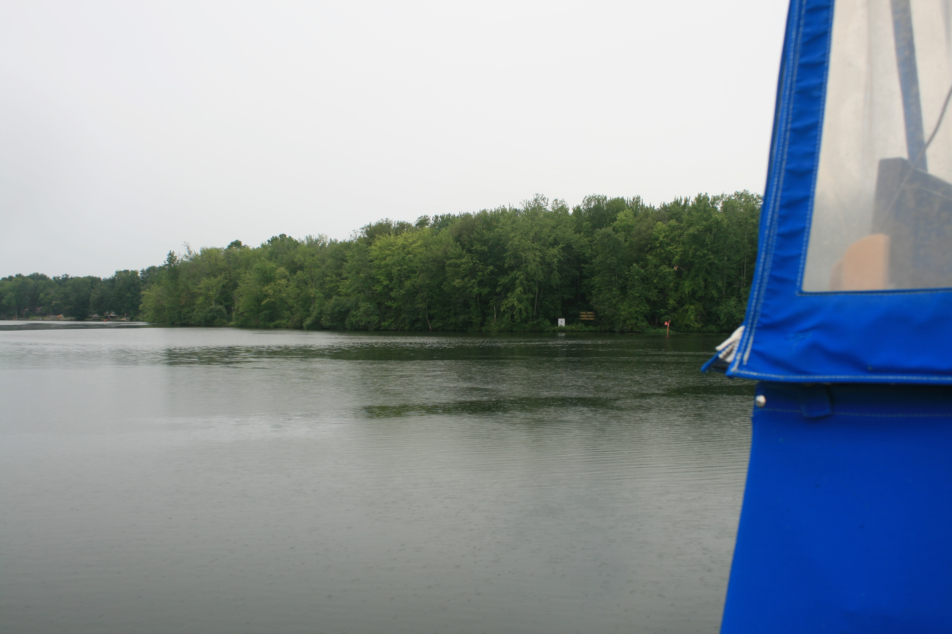
Although it was grey and raining, the winds weren’t too bad the next day, so we took a calculated risk and set off. The area around Portage Lock was agricultural and the scene not unlike many wet mornings on English canals.
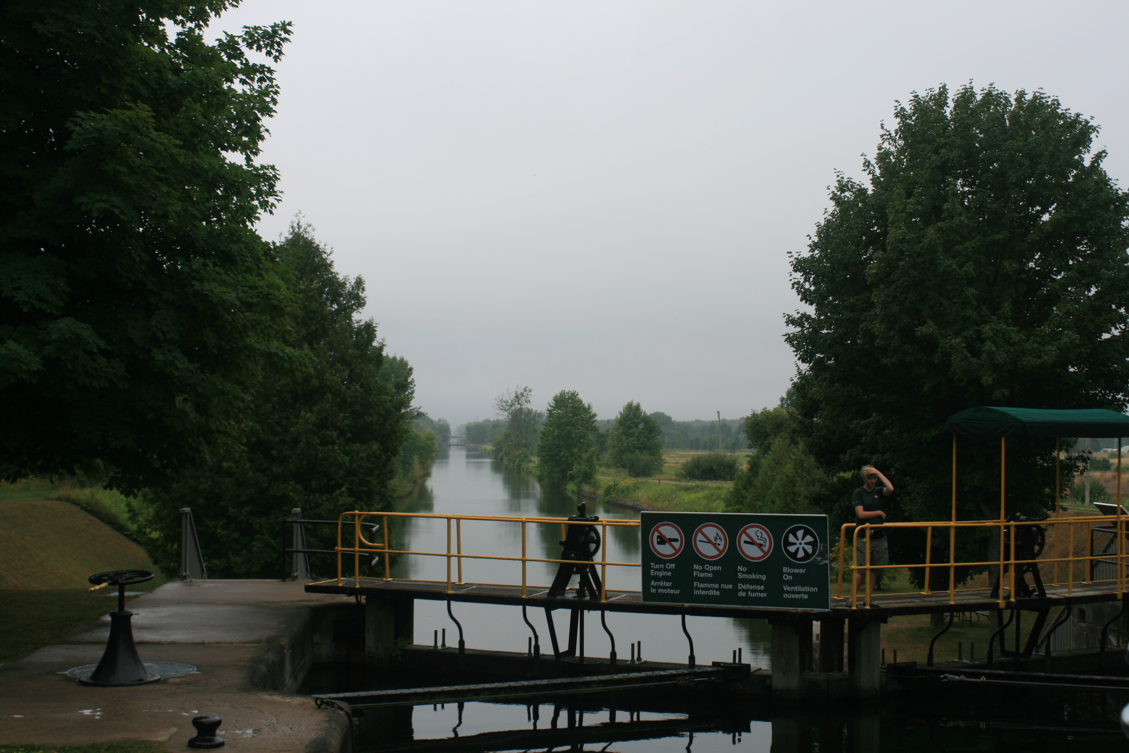
Portage Lock 39 in the rain
It was a good move. The 15-mile crossing of Lake Simcoe took only 2 hours as the wind was behind us. We were able to skirt round the northern shore, passing through the Atherley Narrows before tying up at Bridgeport Marina, feeling rather guilty at the sight of the dockhands getting drenched as they helped us moor the boat.
We celebrated our safe arrival with bacon and pancakes with maple syrup, and were just tucking in when there was a knock on the door, a visit from some fellow Loopers, Susannah and Tim, who had passed us at Fenelon Falls, and who kindly invited us to their boat for a drink later on. It’s always good to meet people and compare experiences.

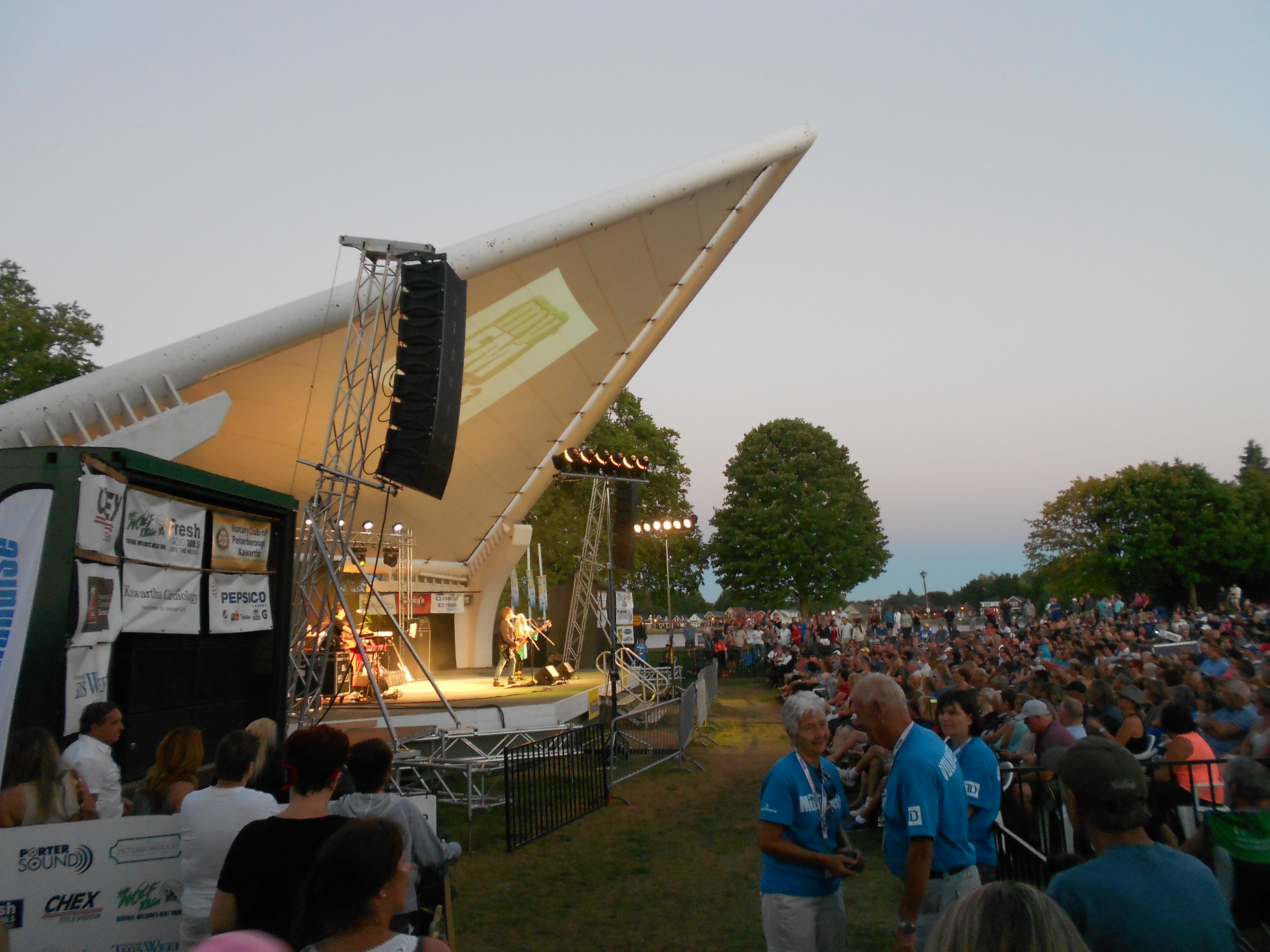
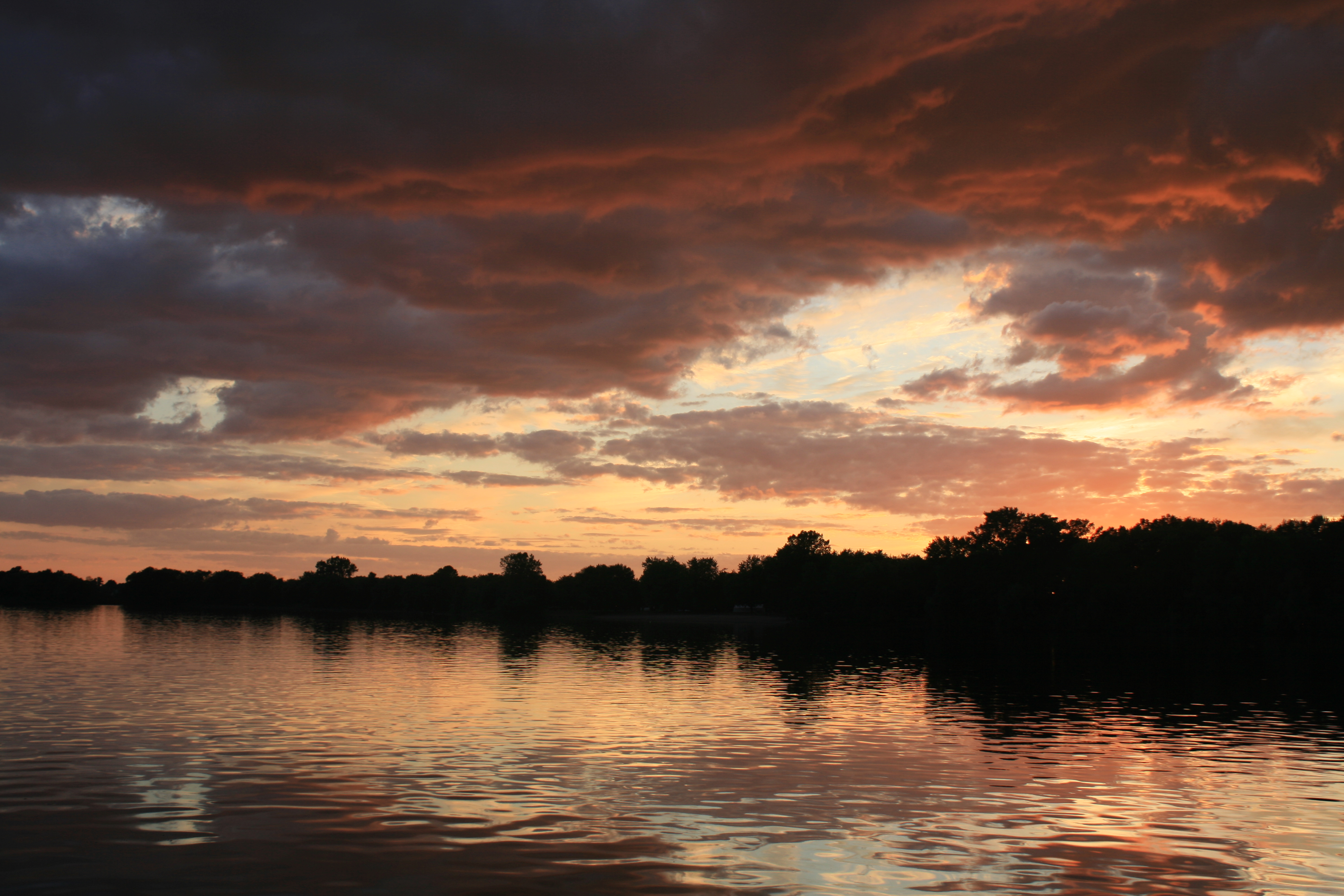
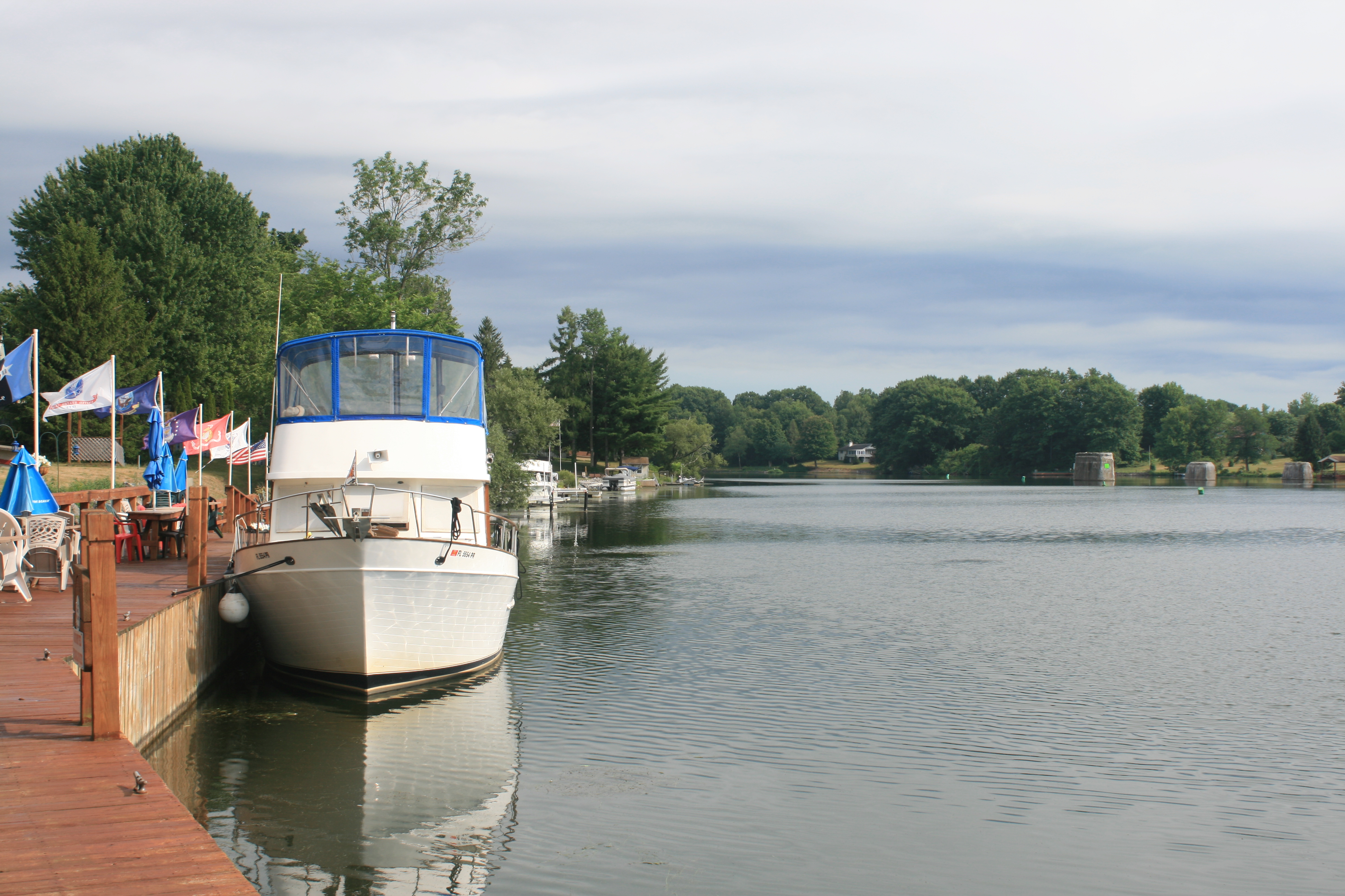
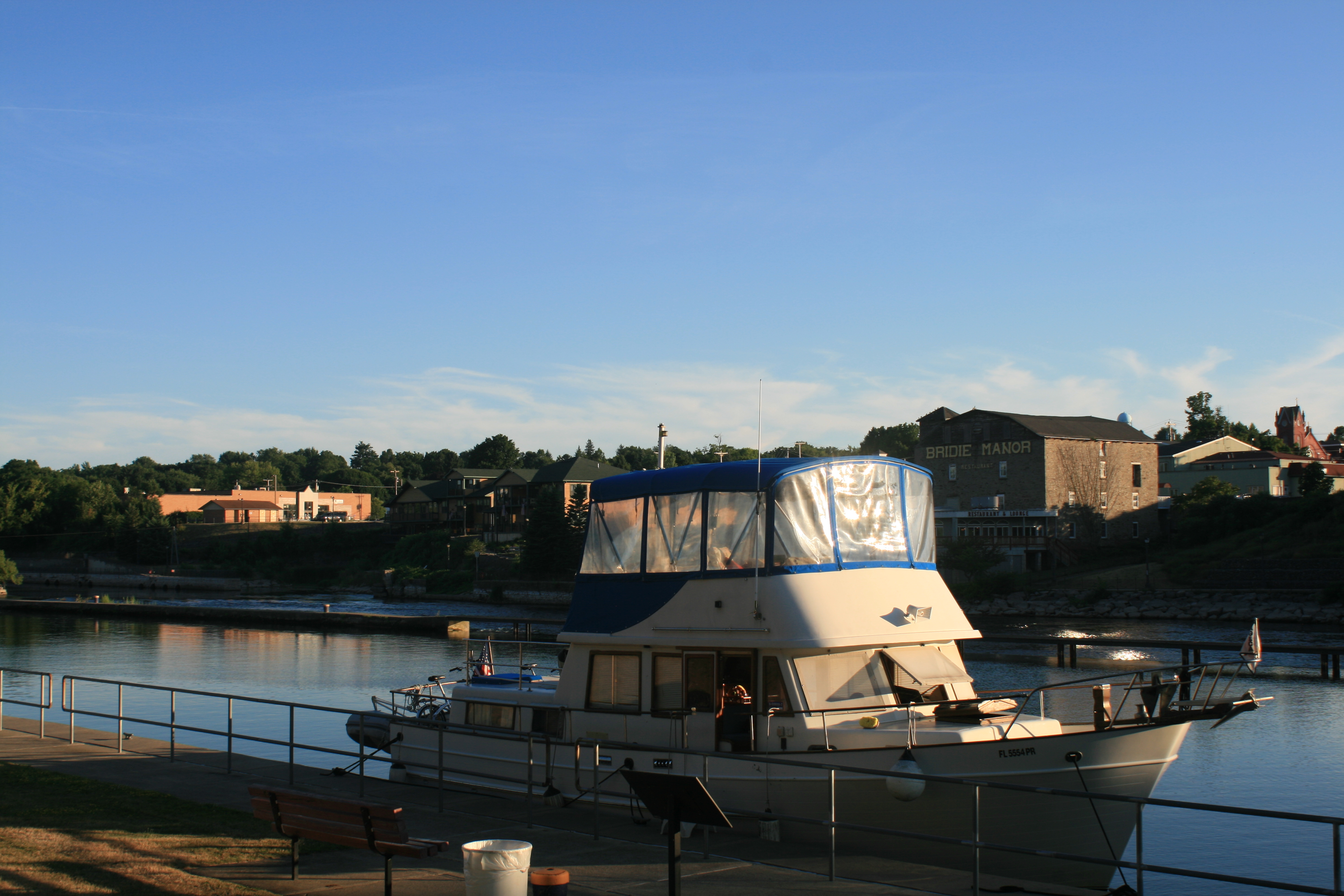
Evening at Bridgeport Marina
We moved round the corner to the town dock in Orillia the next day.
Some other Loopers at Bridgeport were spending the week there, having their props repaired after a contretemps with some rocks just outside Orillia Harbour. We listened to their cautionary tale and took their advice ‘on board’.