….said in an incredulous tone. It seems that mad dogs and Englishmen don’t just go out in the midday sun, they take their boats up the ICW in the Fall, too.
Everyone else is going south, to the Bahamas or the Florida Keys. It sounds like a nice idea. We explain the several reasons why we’re going north in the Fall, but even so, our listeners’ faces adopt an expression suggesting that they’ve weighed us up as verging on bonkers, and they judge it wise not to pursue that topic of conversation. They revert to the familiar ‘Where y’all from?’, which is obviously a lot safer.
But we’ve had quite a few ‘Y’all come back and see us again!’, which is really nice.
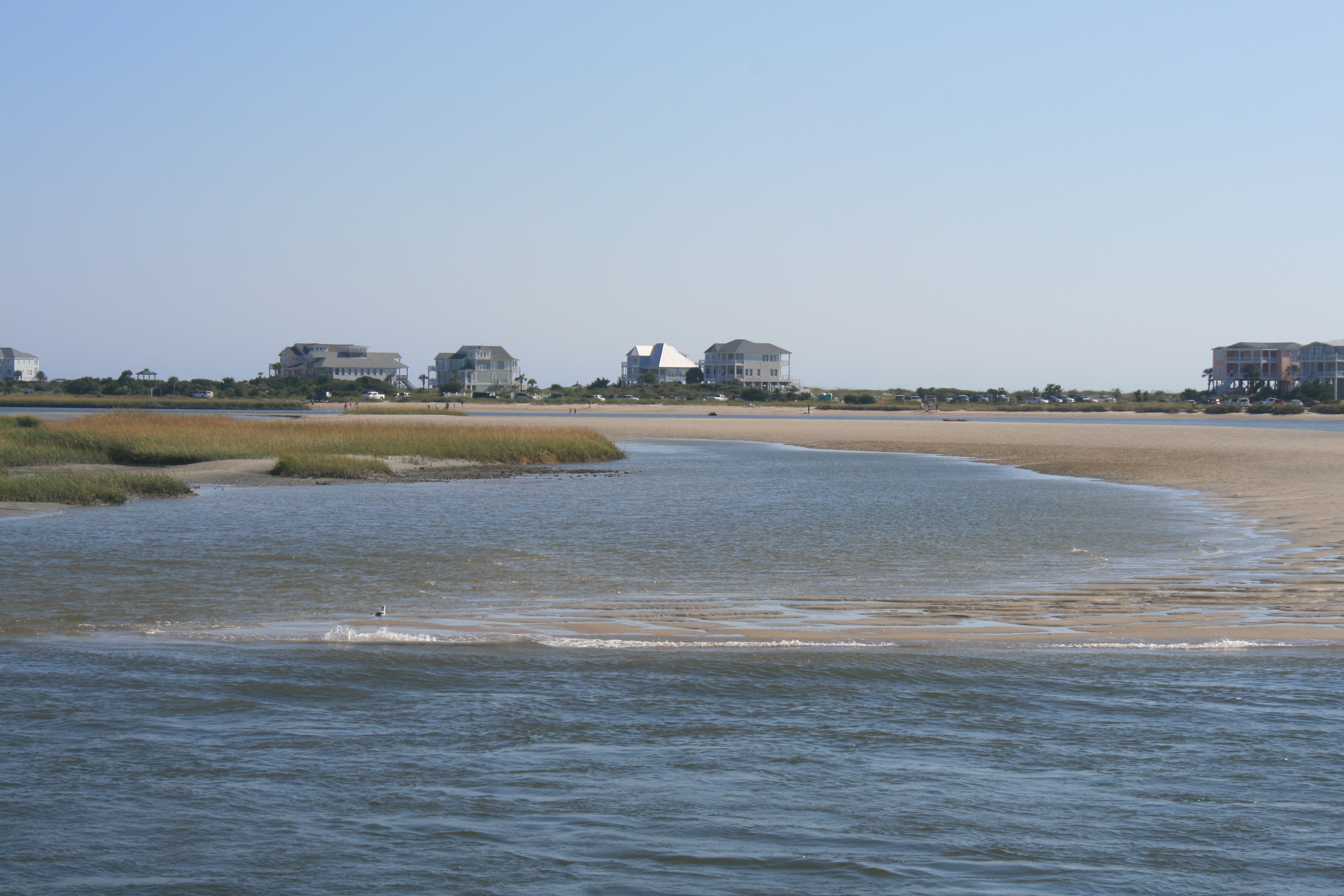
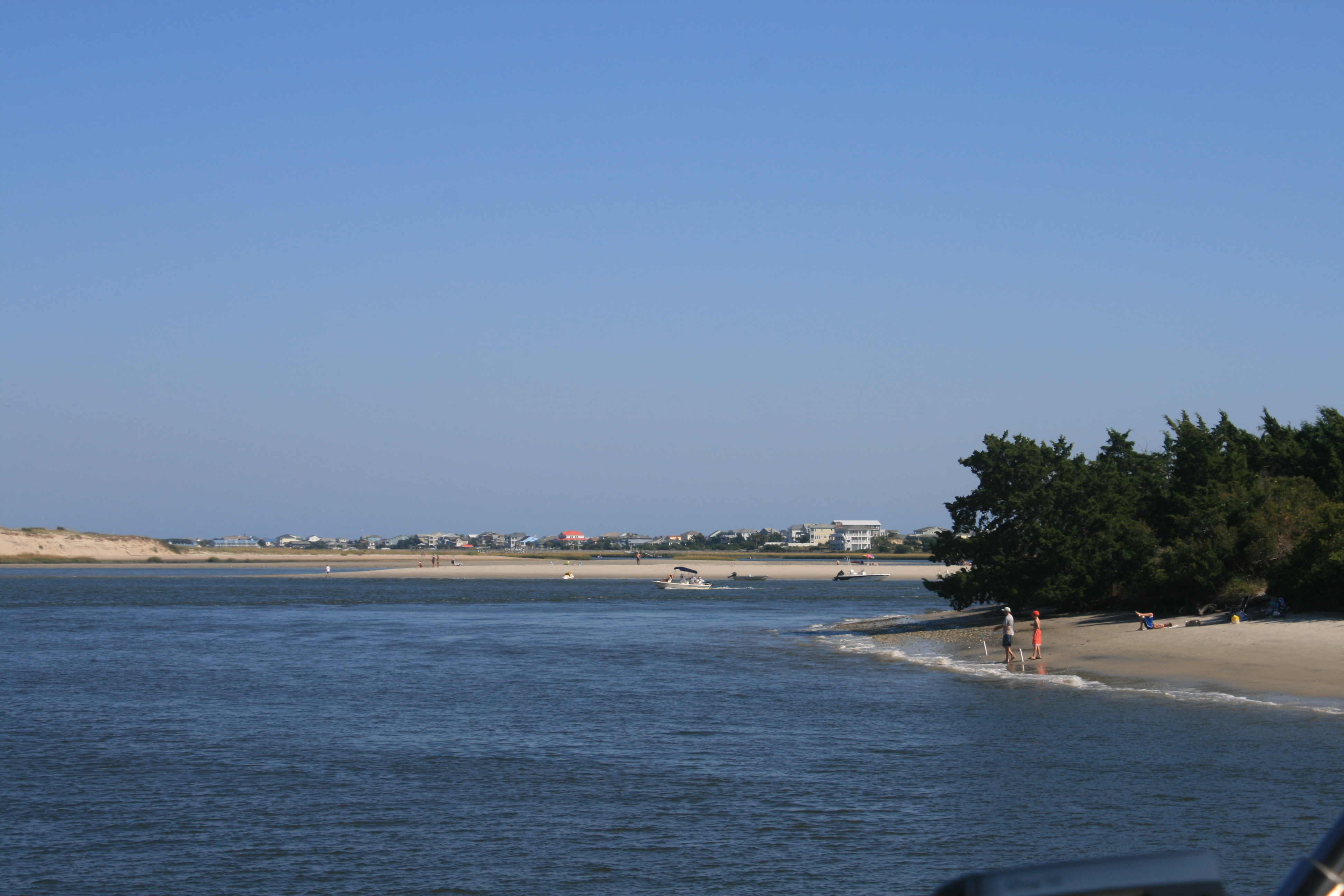
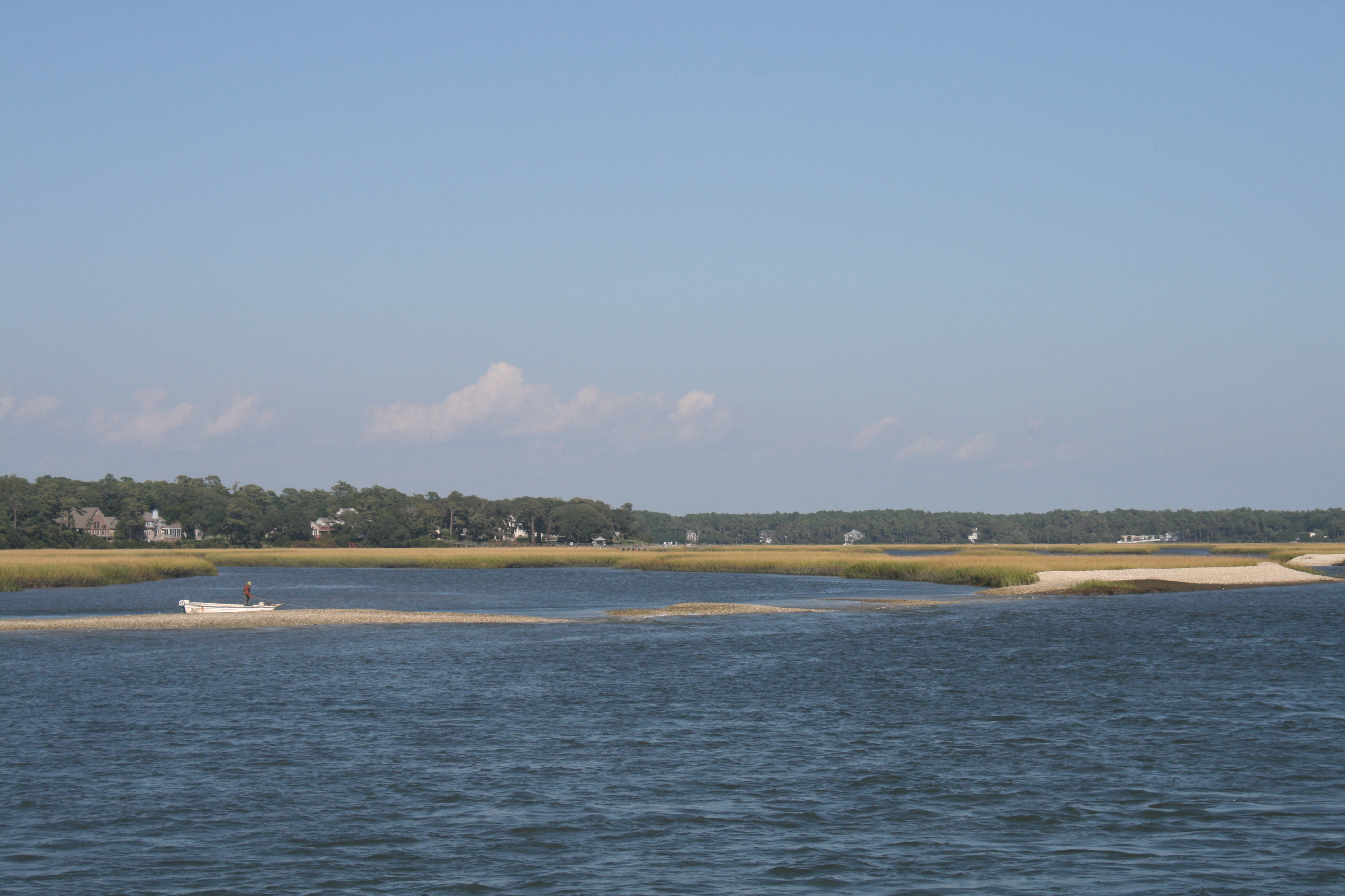
The coastline of Eastern North Carolina is an amazing pattern of wide sounds, the land indented by inlets, creeks and rivers, with the islands of the Outer Banks strung like a necklace 40 miles out into the Atlantic.
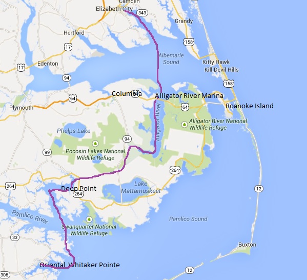
Whitaker Pointe to Elizabeth City
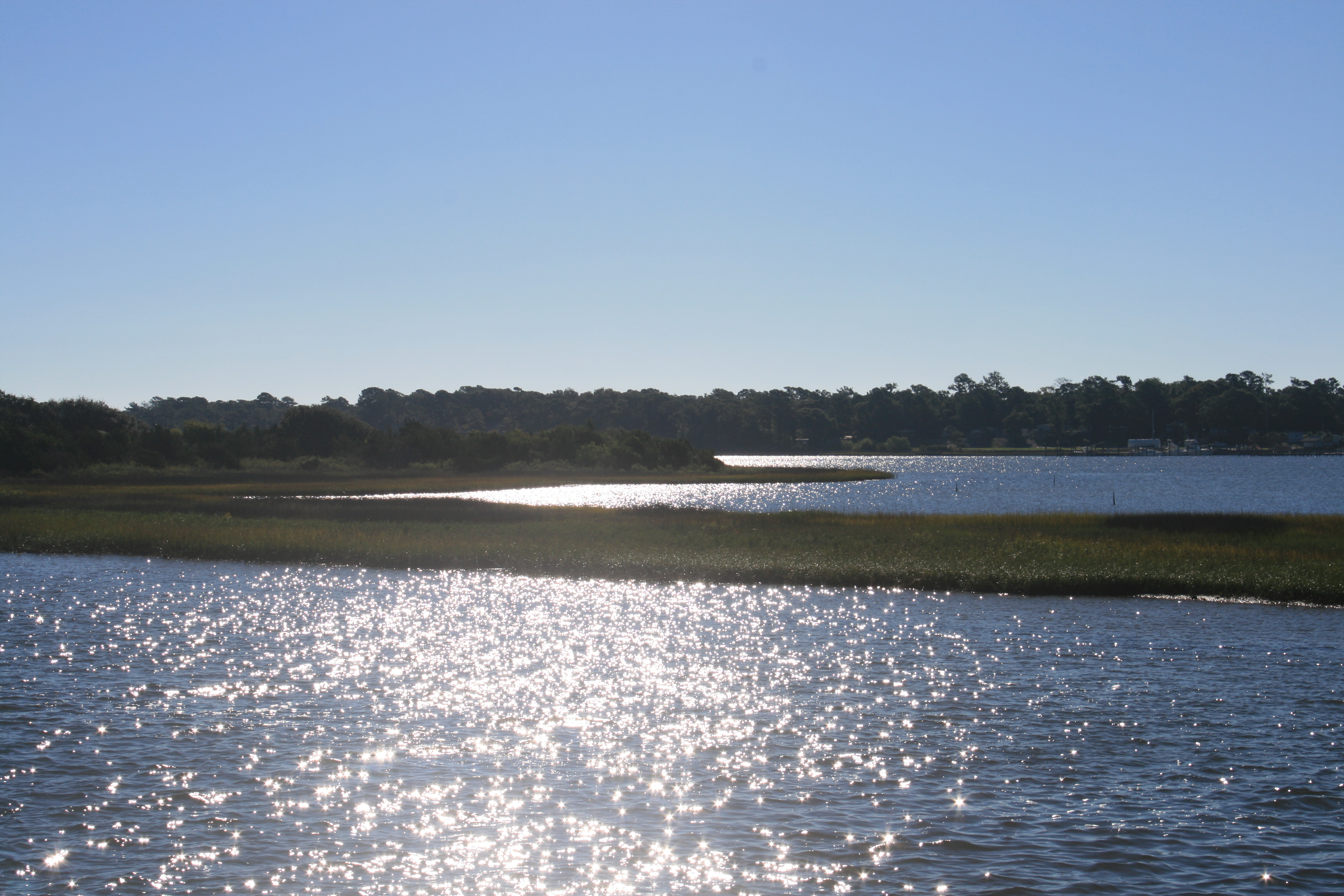
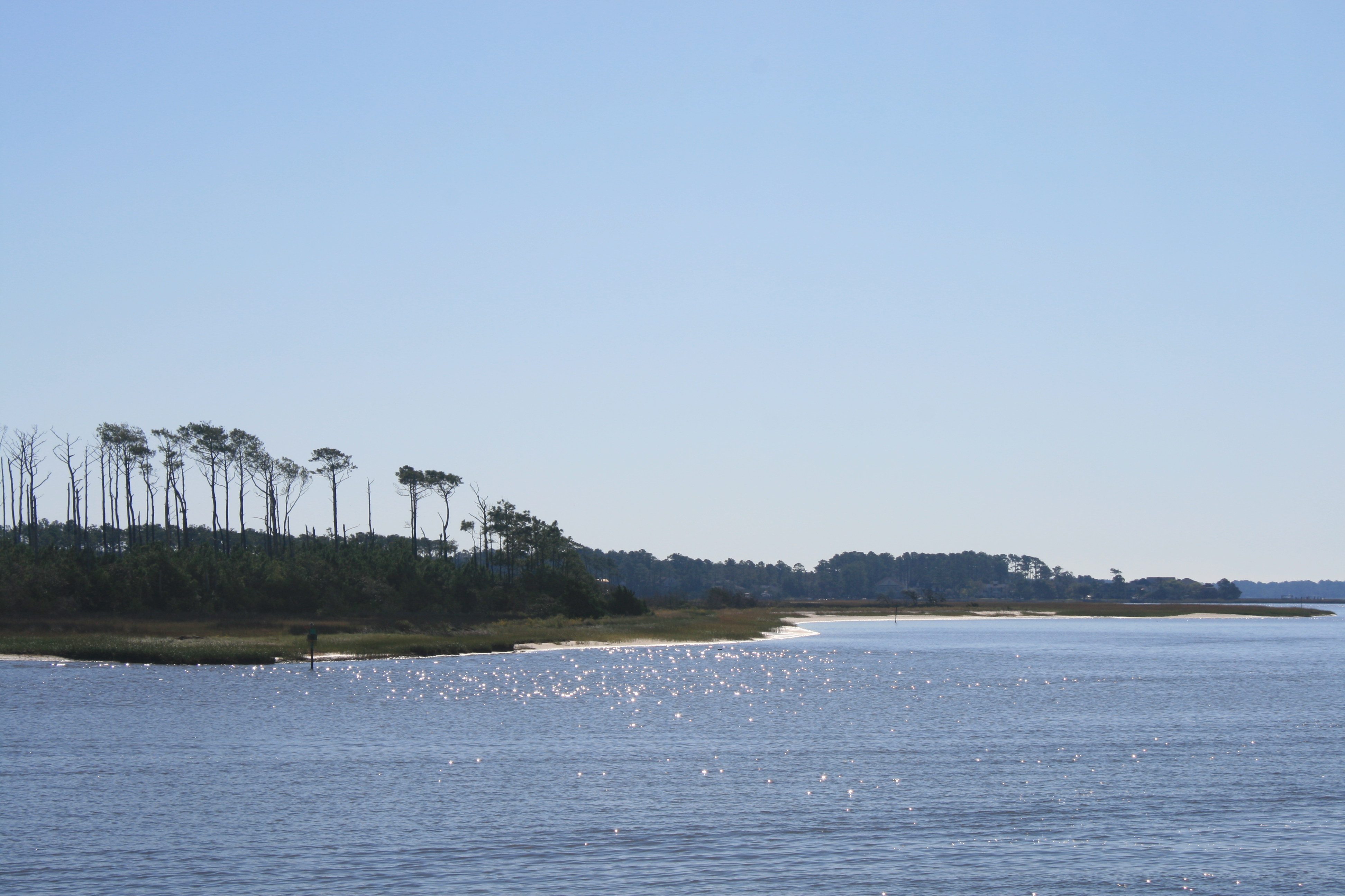
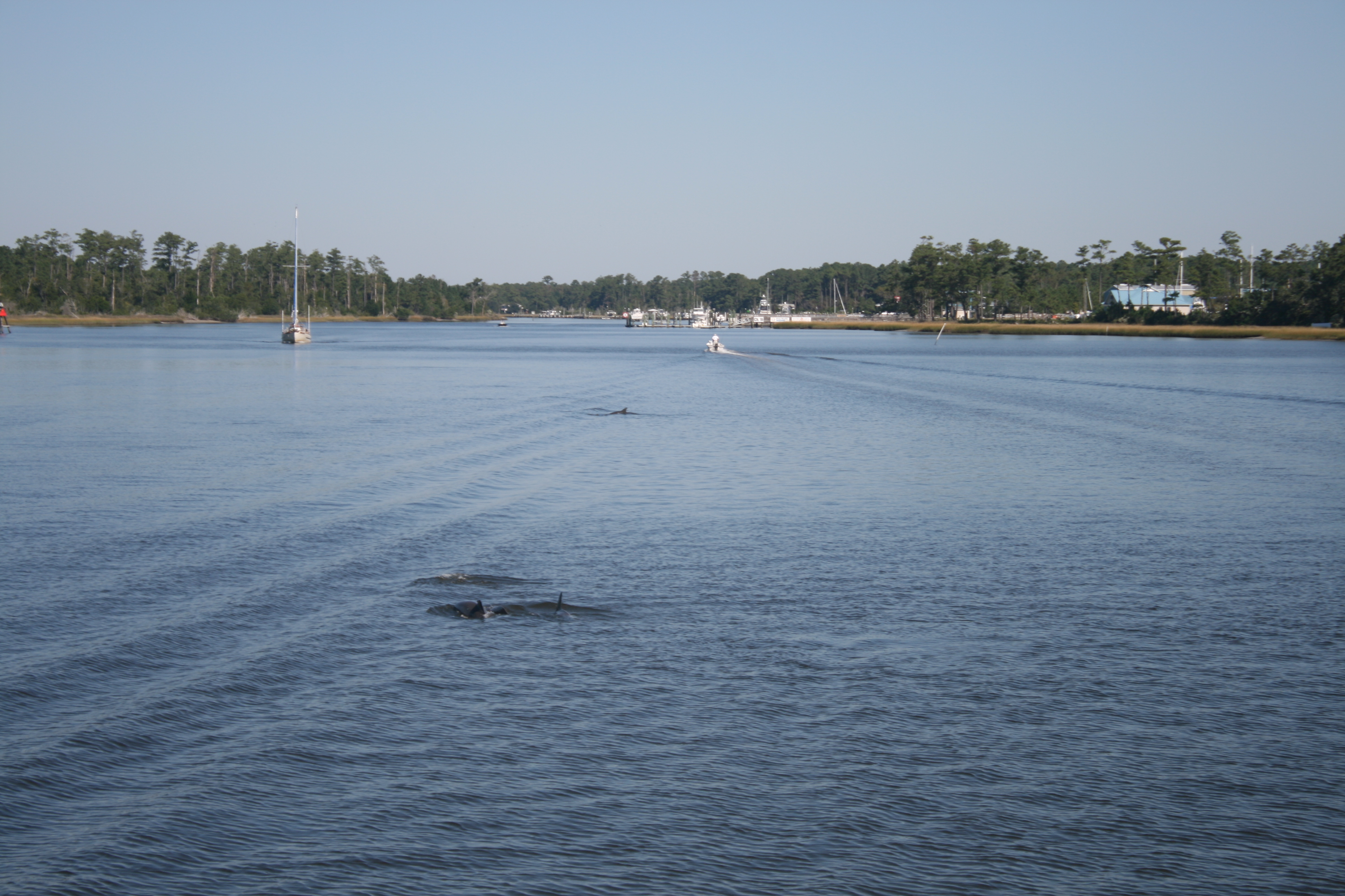
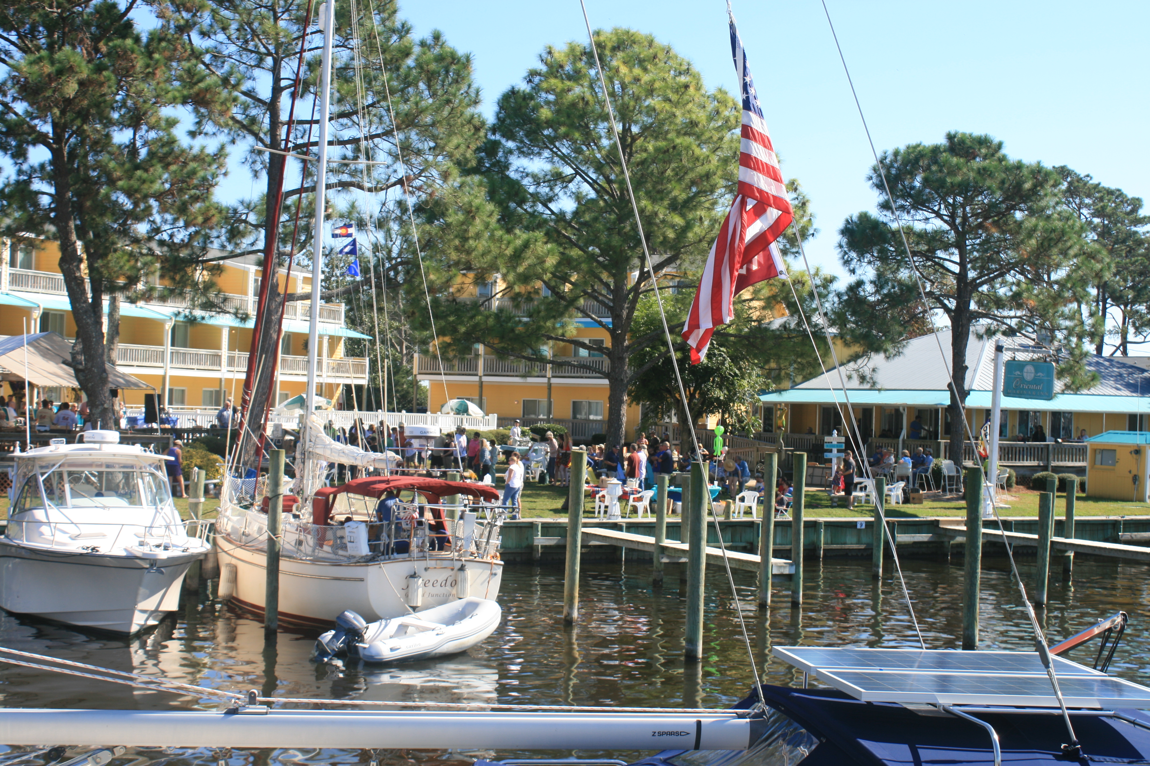
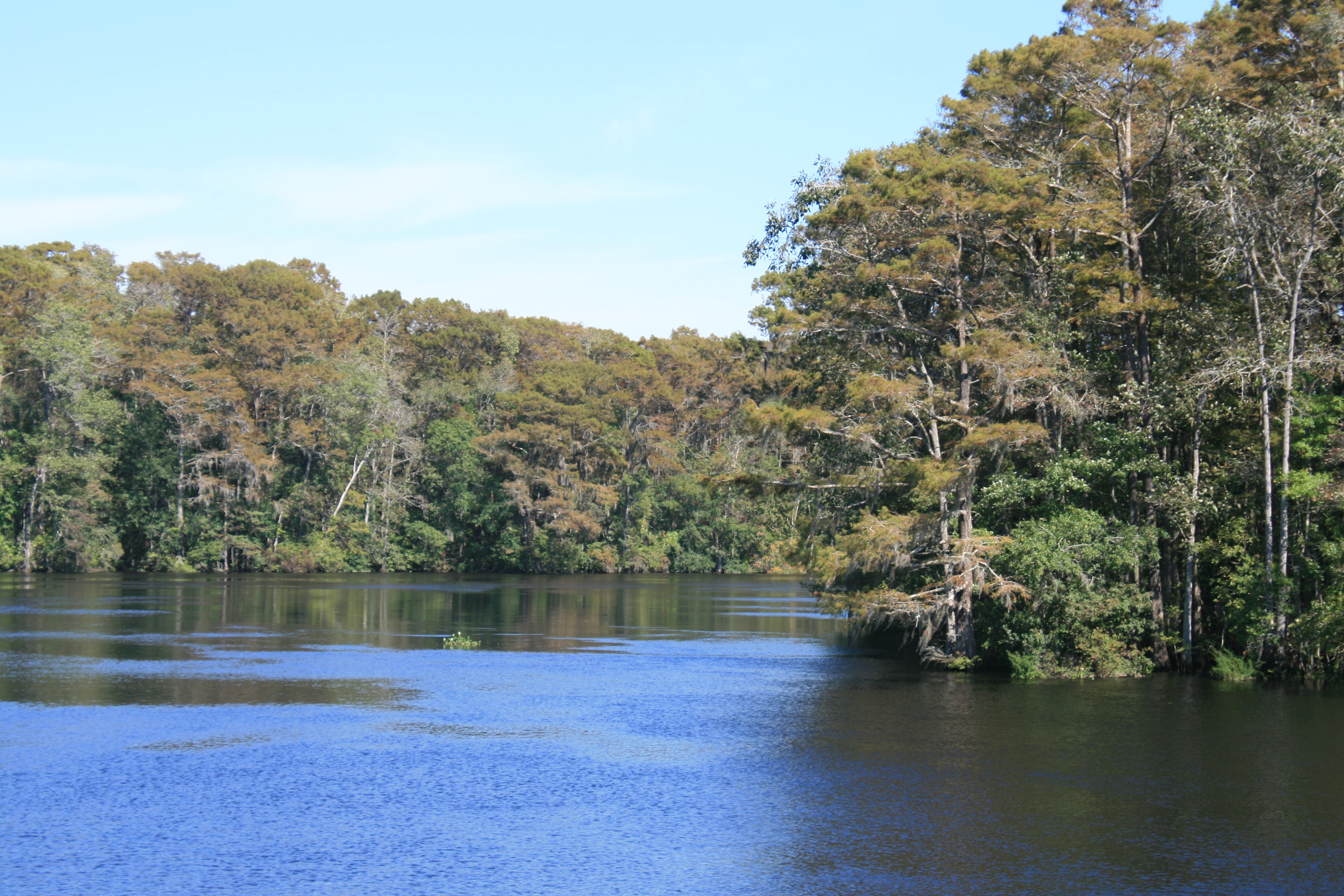
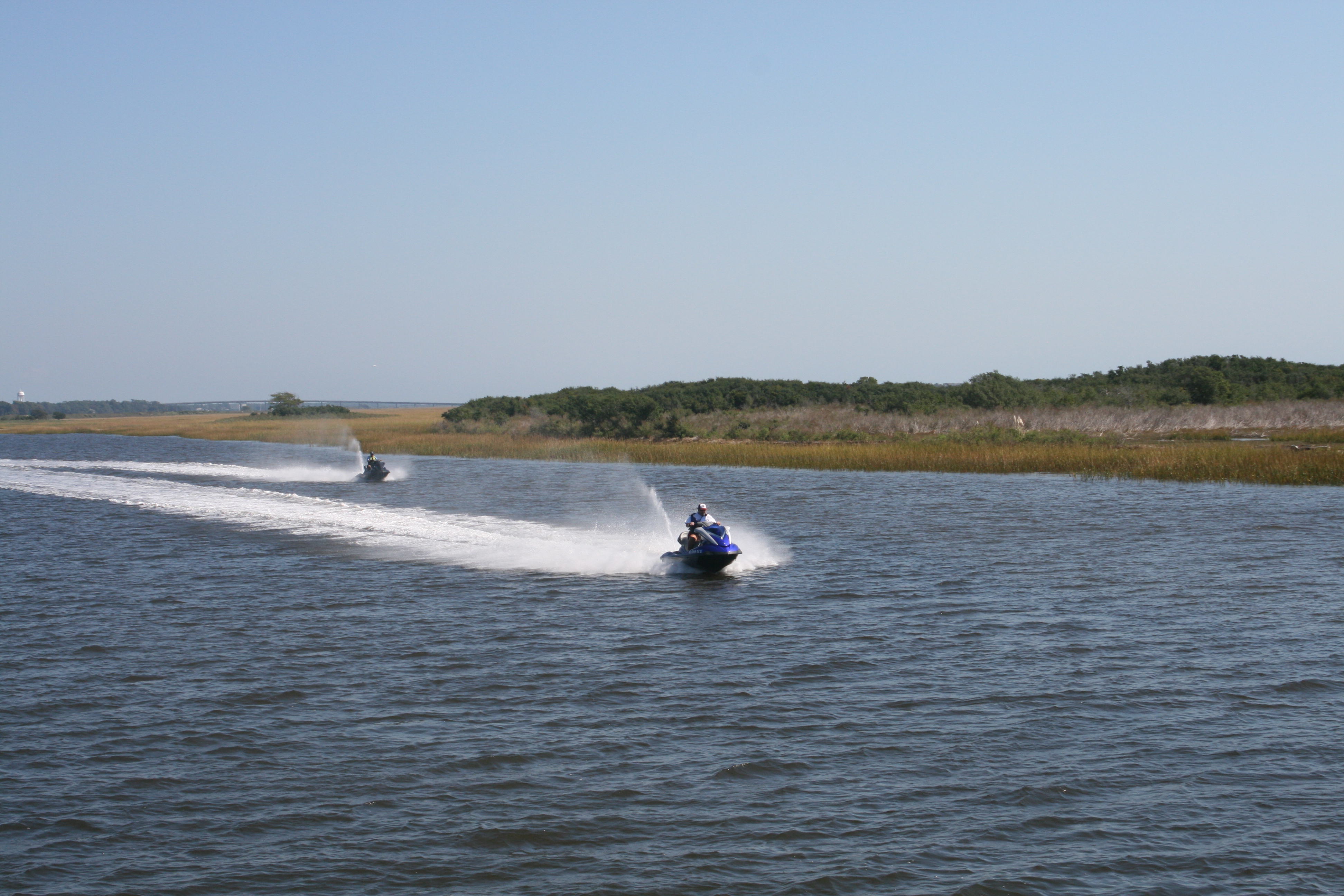
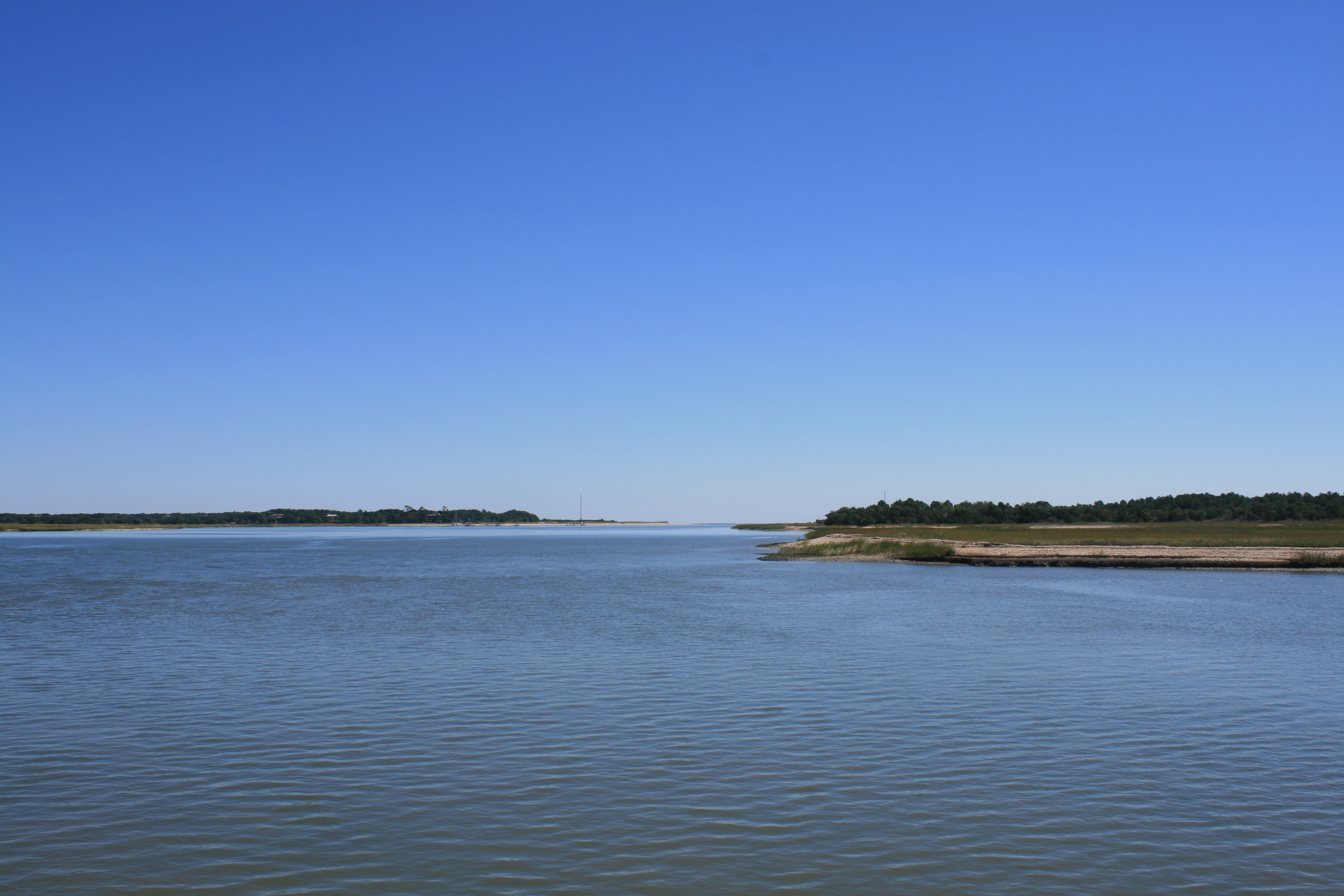
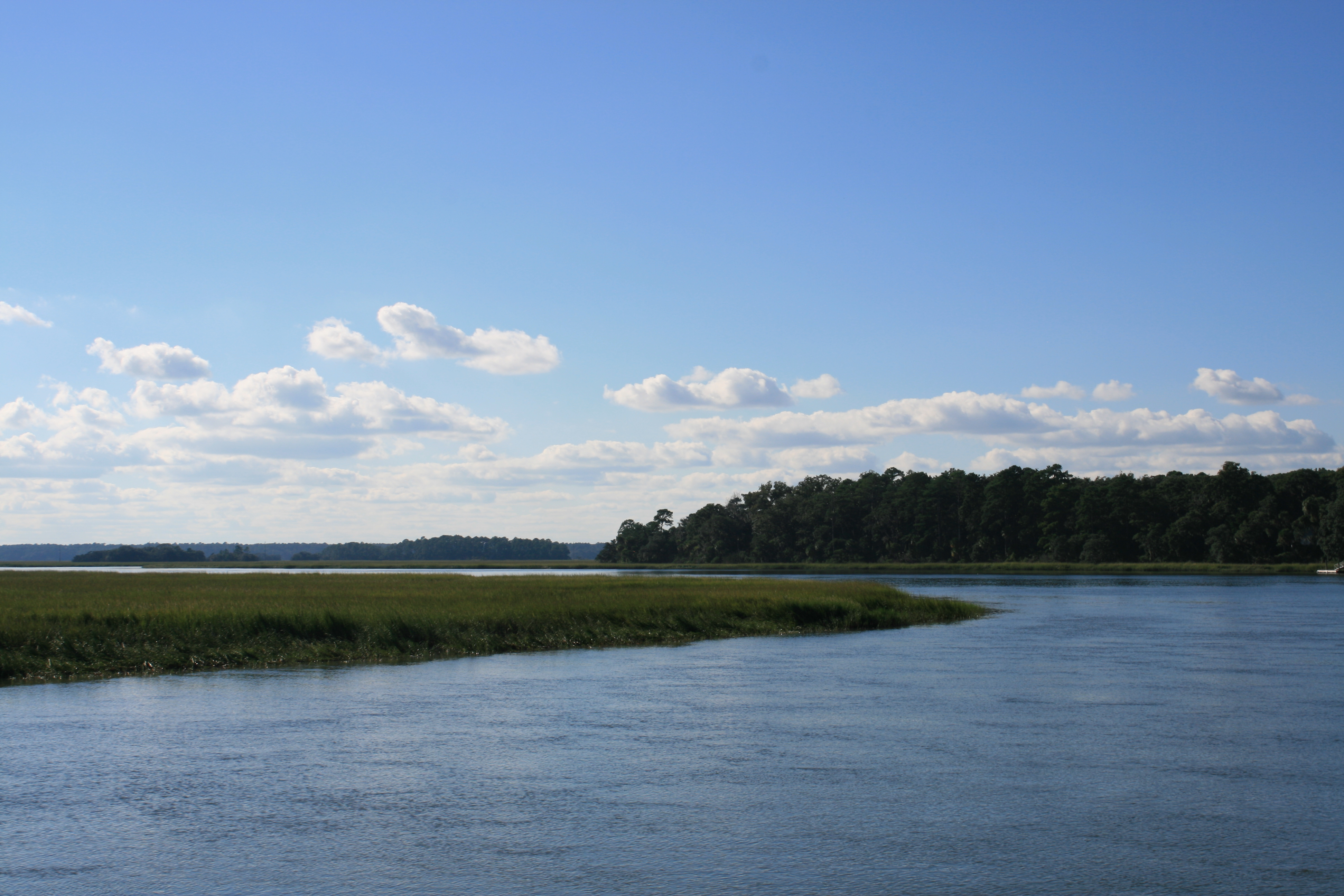
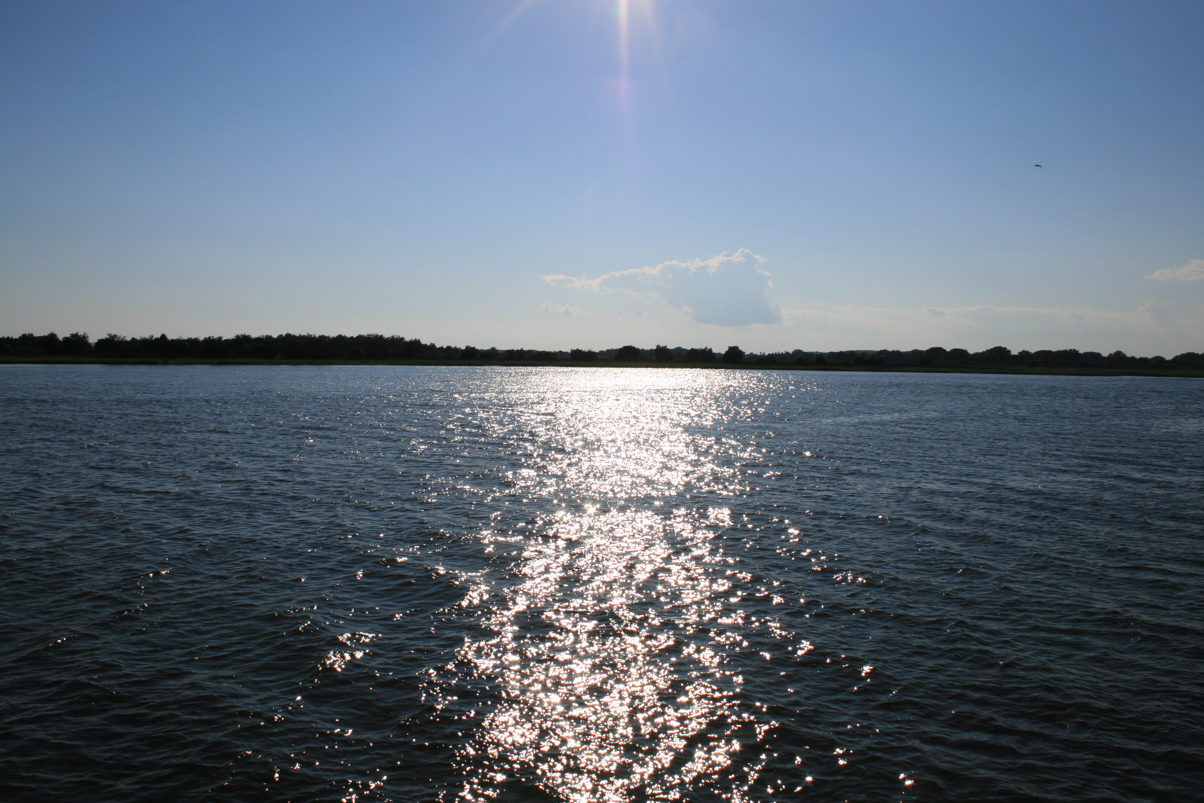
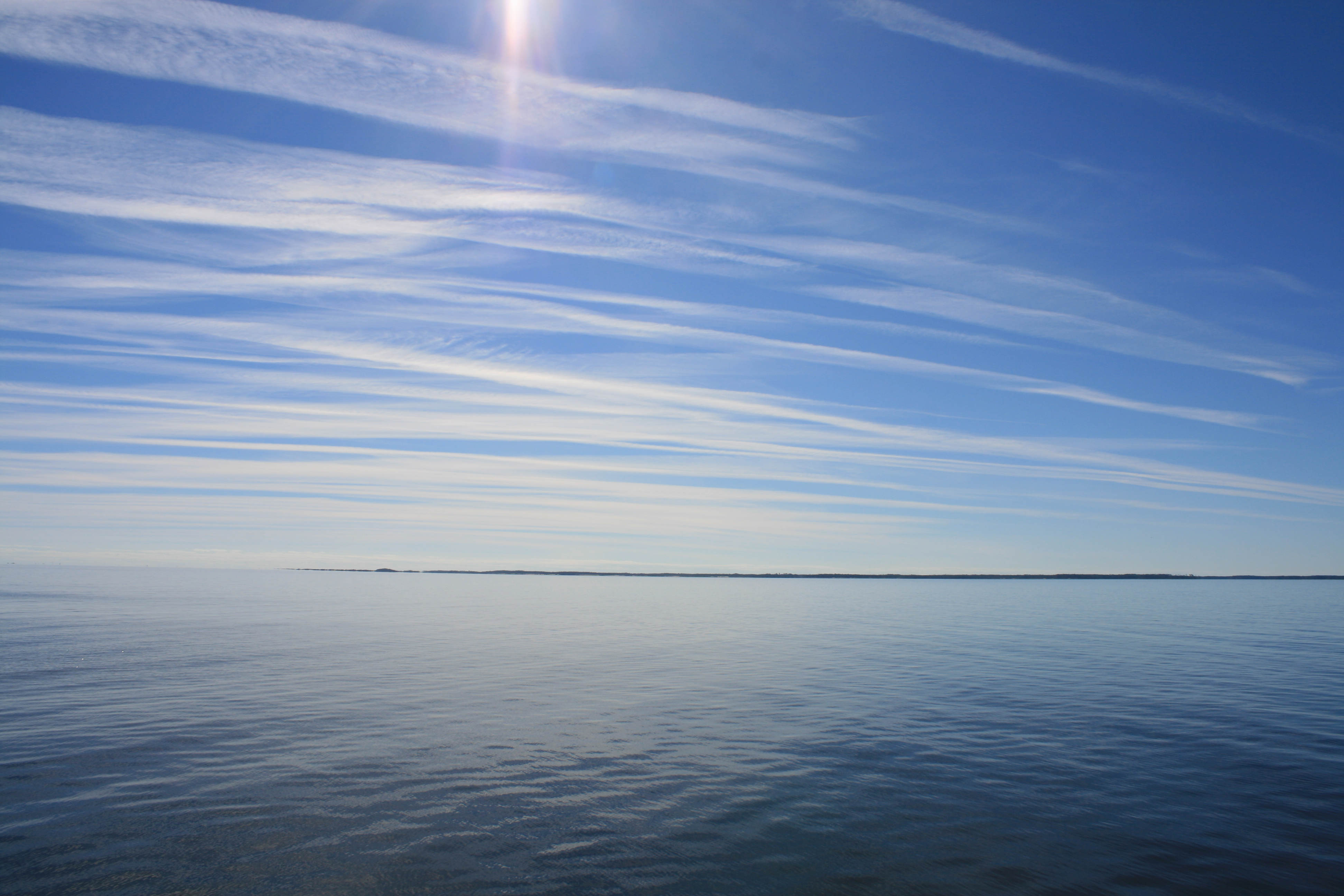
From Whitaker Pointe at Oriental, we went a few miles along the Adams River and then were out at last into the deep blue waters of Pamlico Sound.
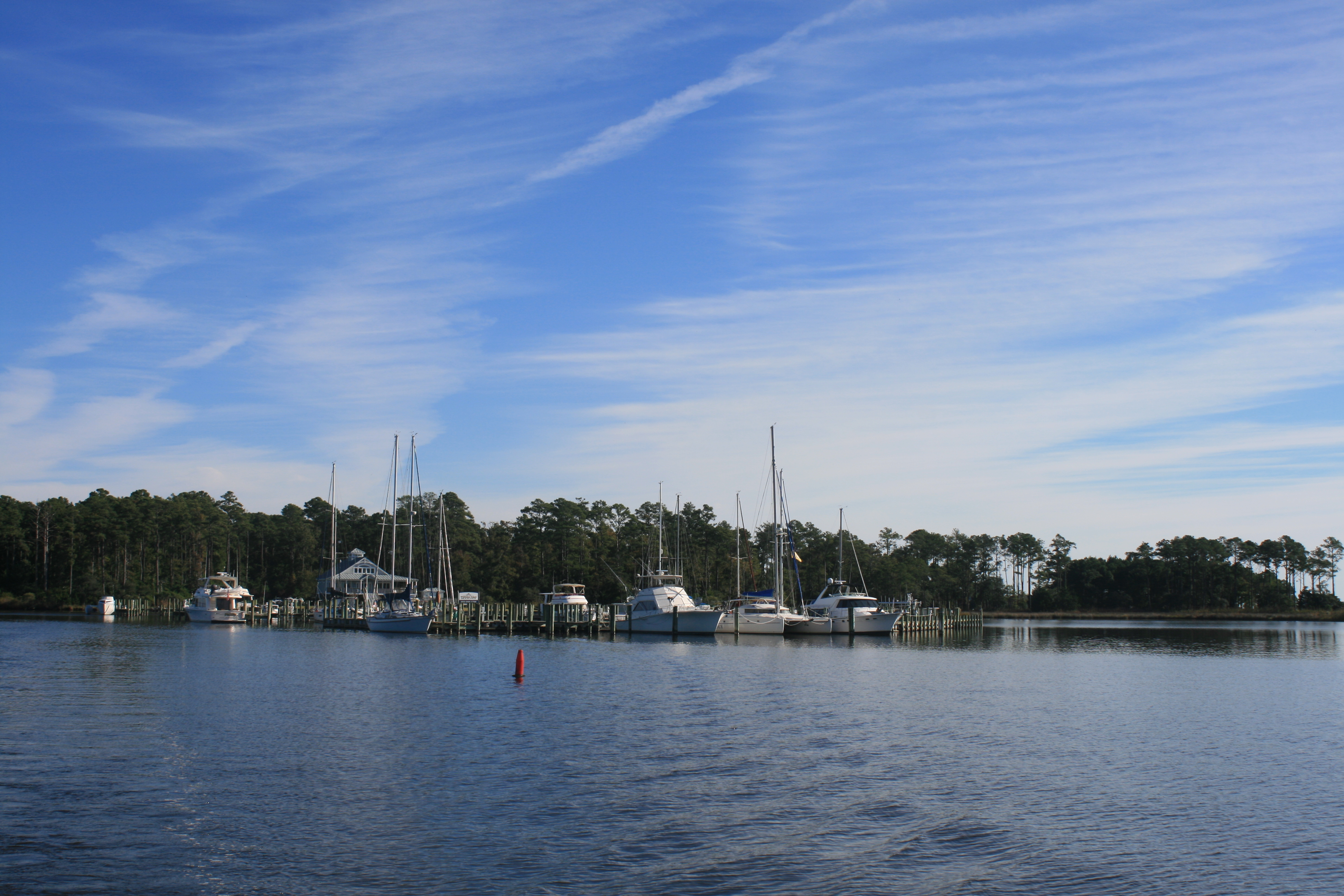
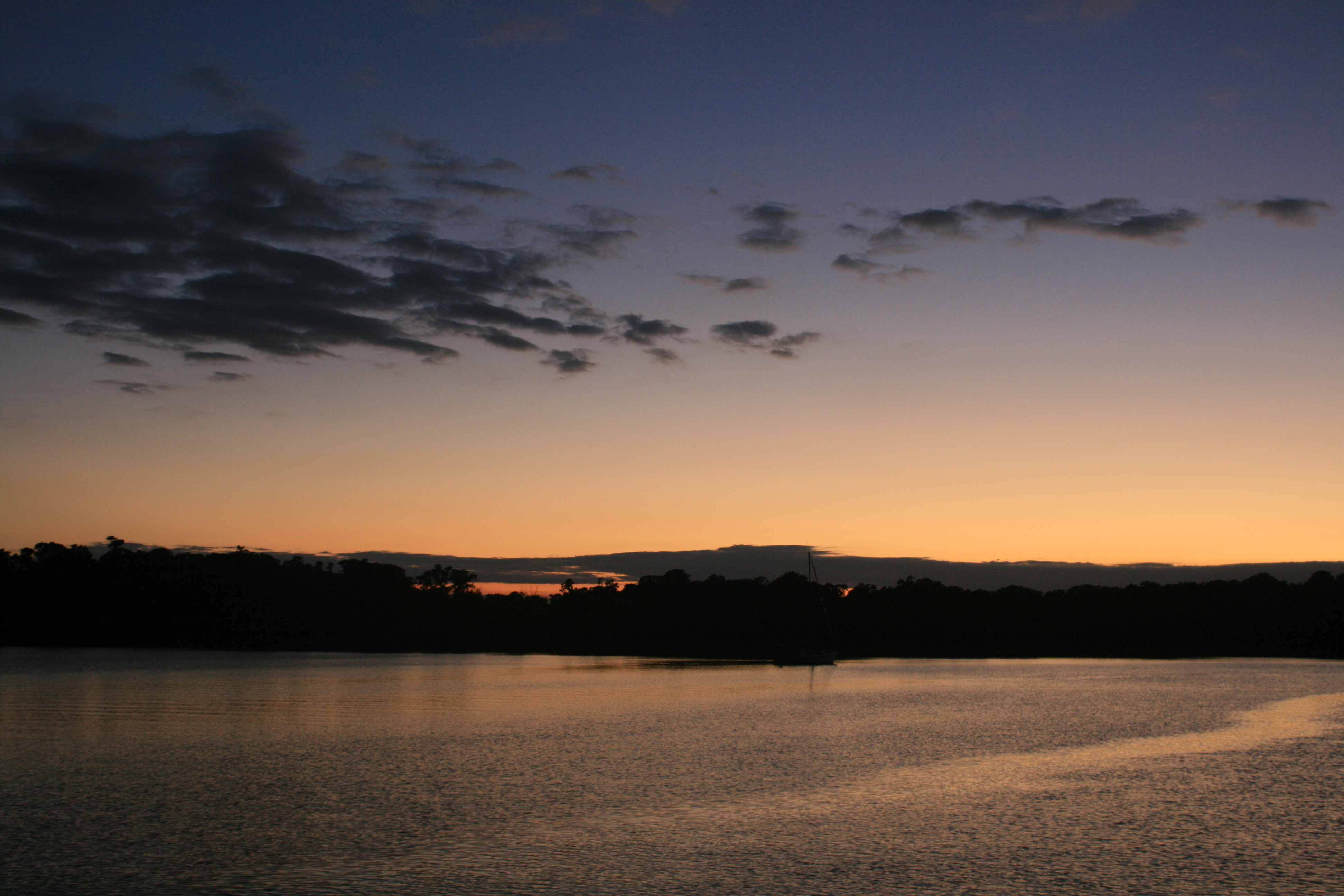
Leaving Whitaker Pointe
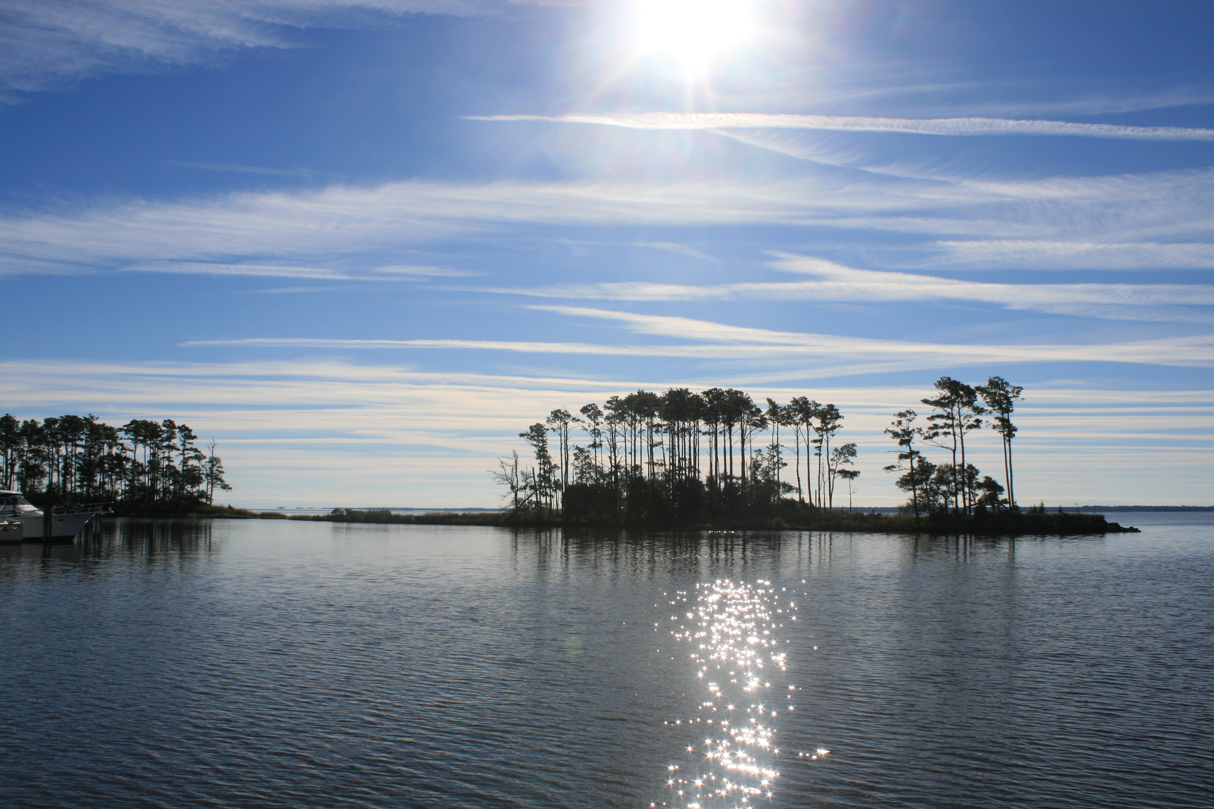
Morning sun, Whitaker Pointe
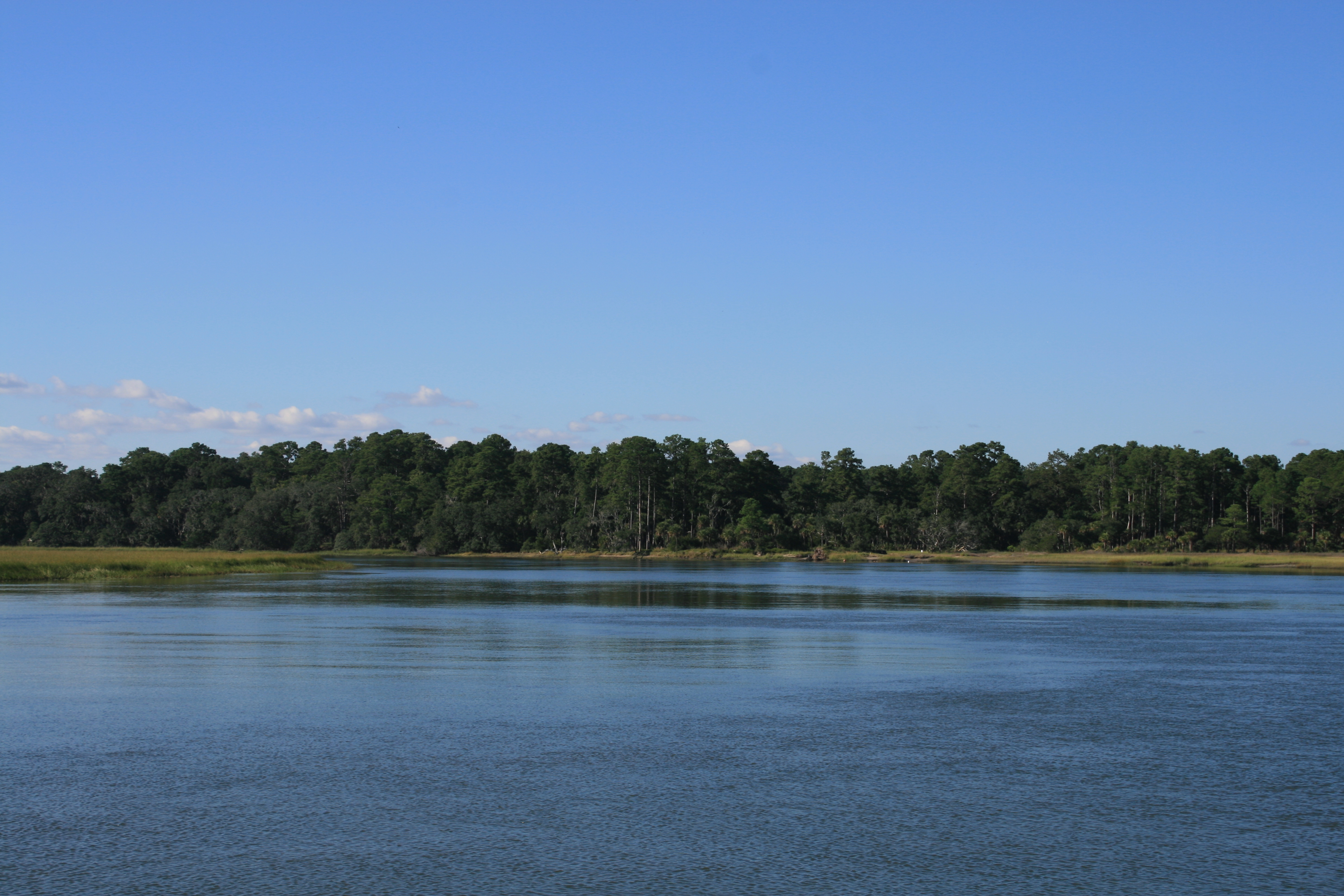
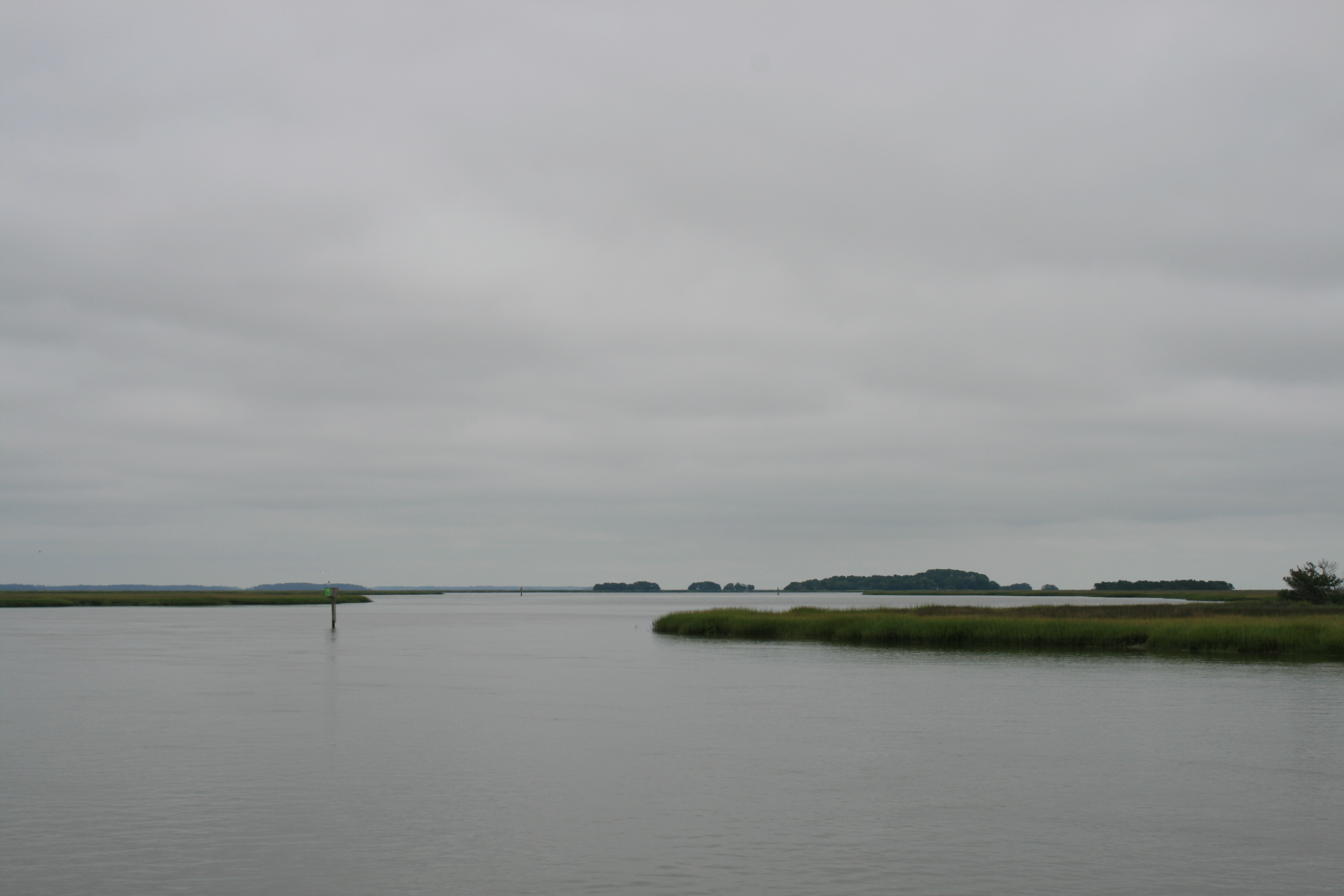
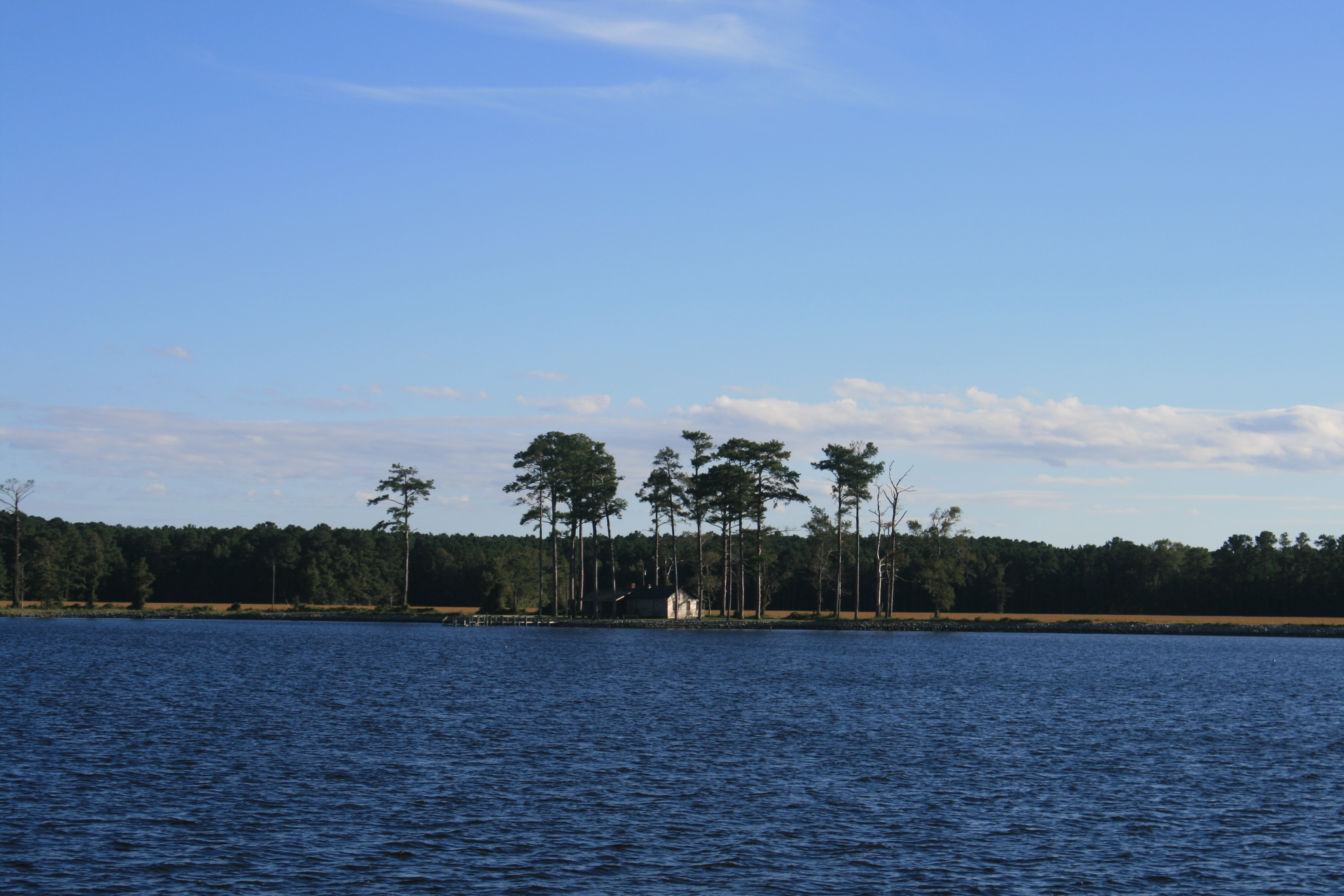
Adams Creek looking south to Cedar Island
The morning was idyllic, but the peaceful air was suddenly rent by two fighter jets flying low above us. A disembodied voice commented over the VHF, ‘Well, there’s the sound of freedom going by!’
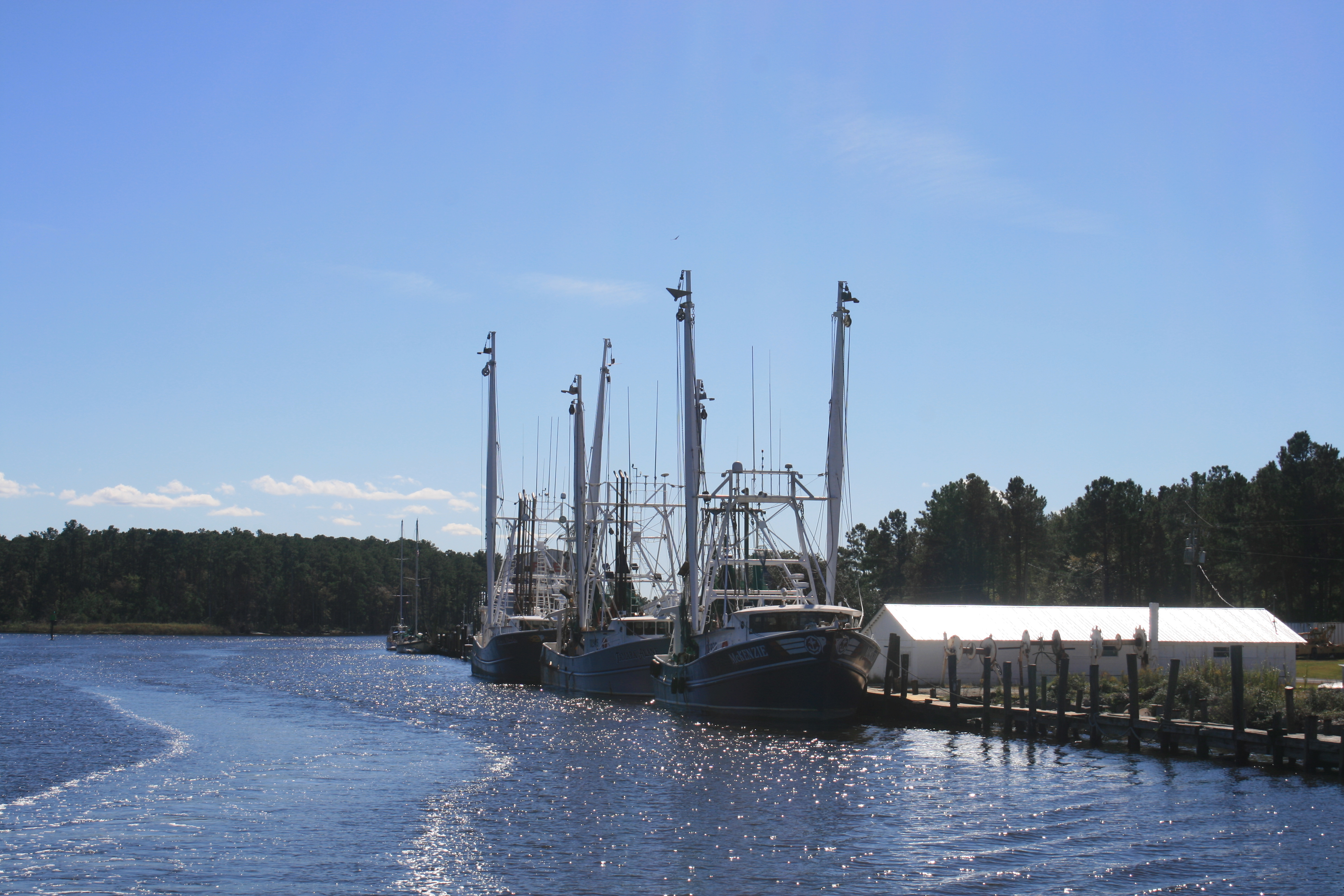
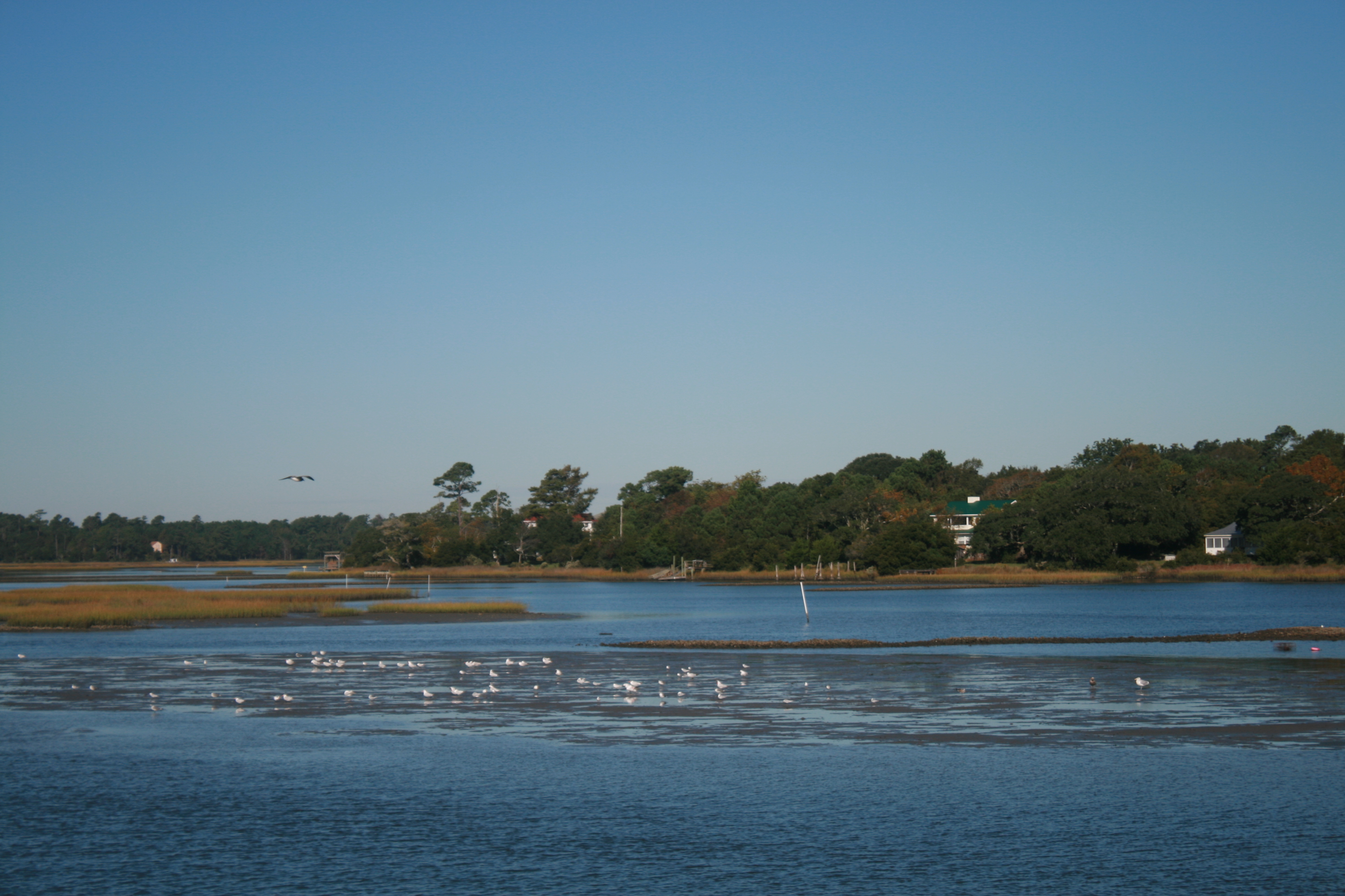
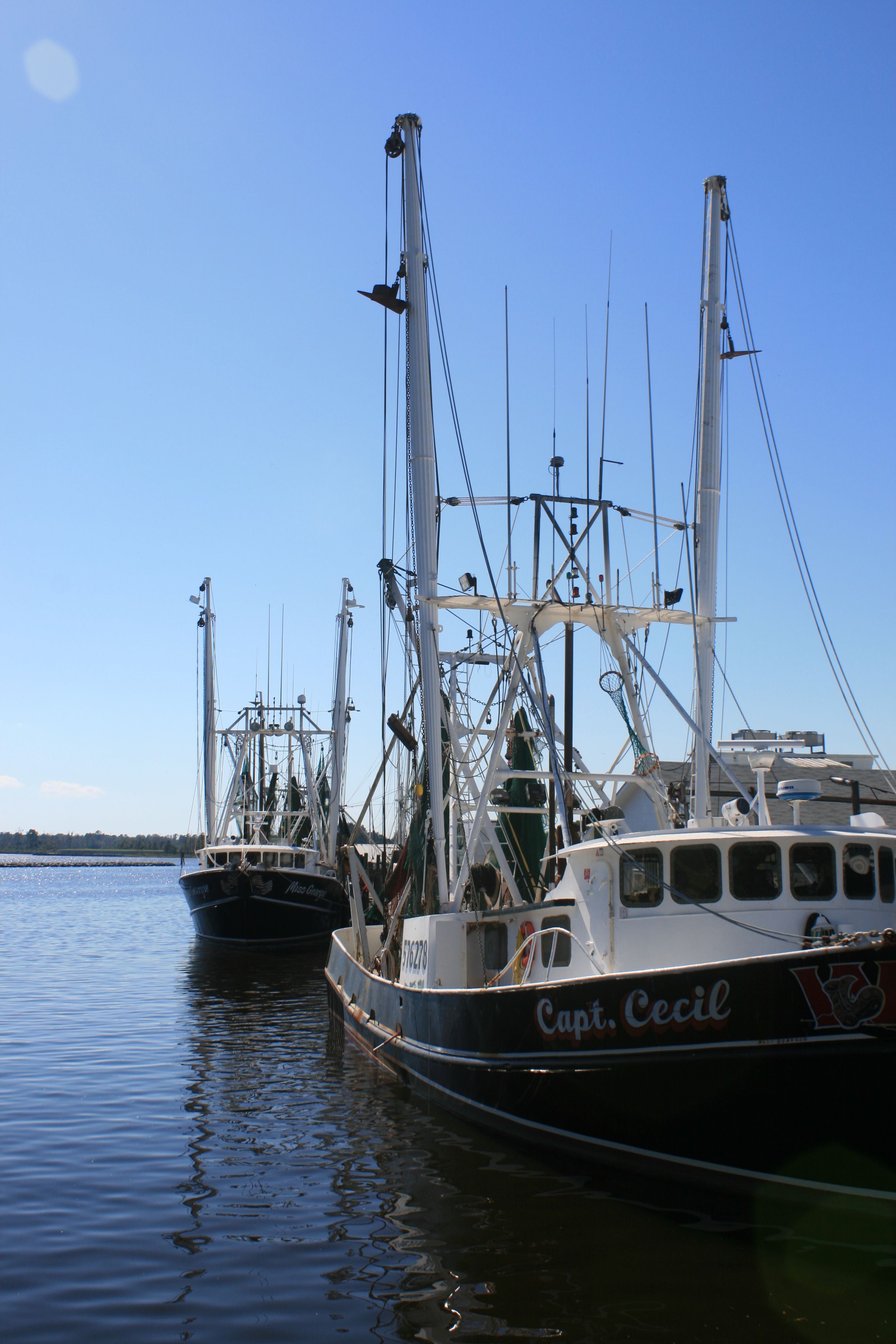
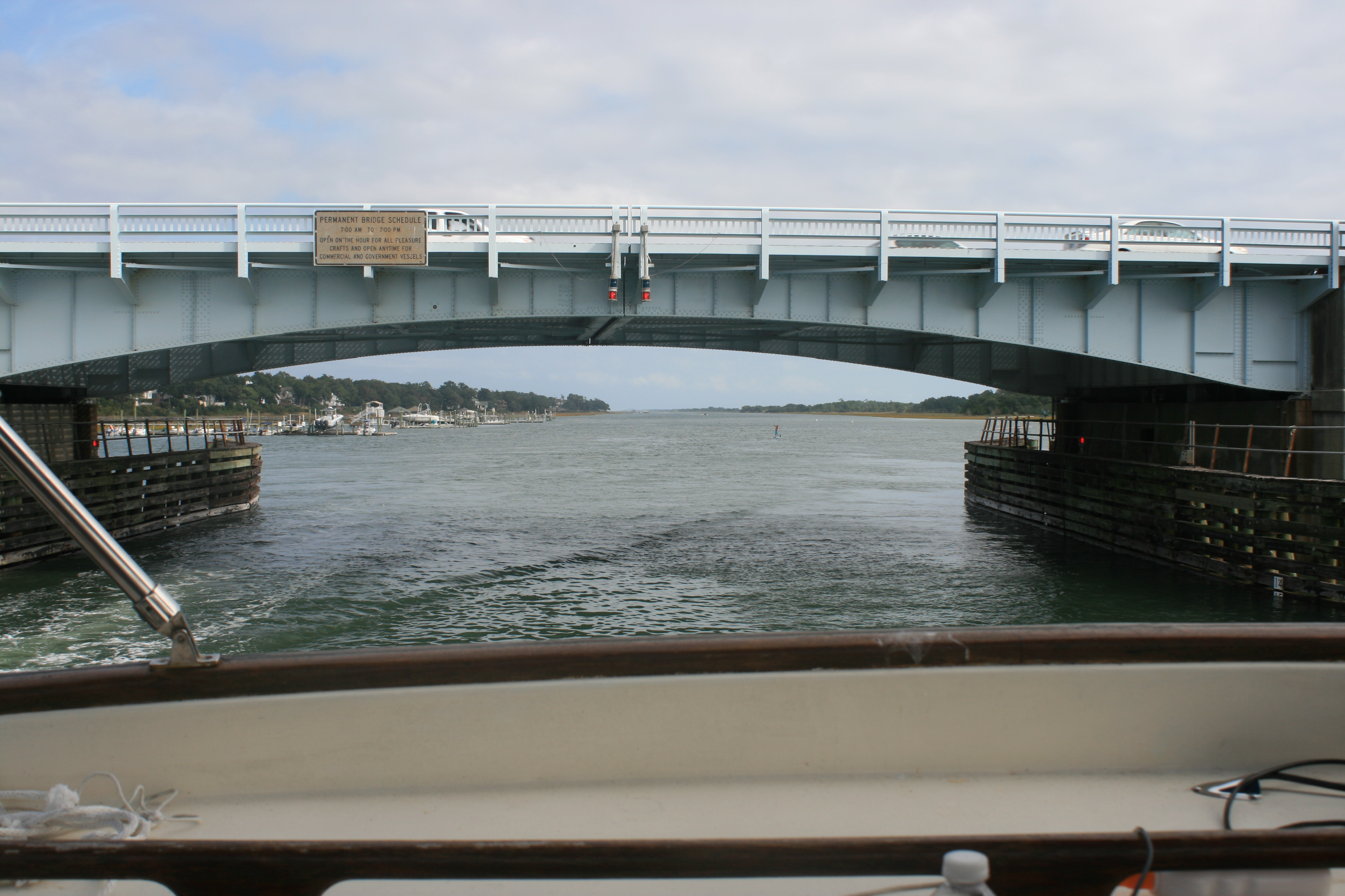
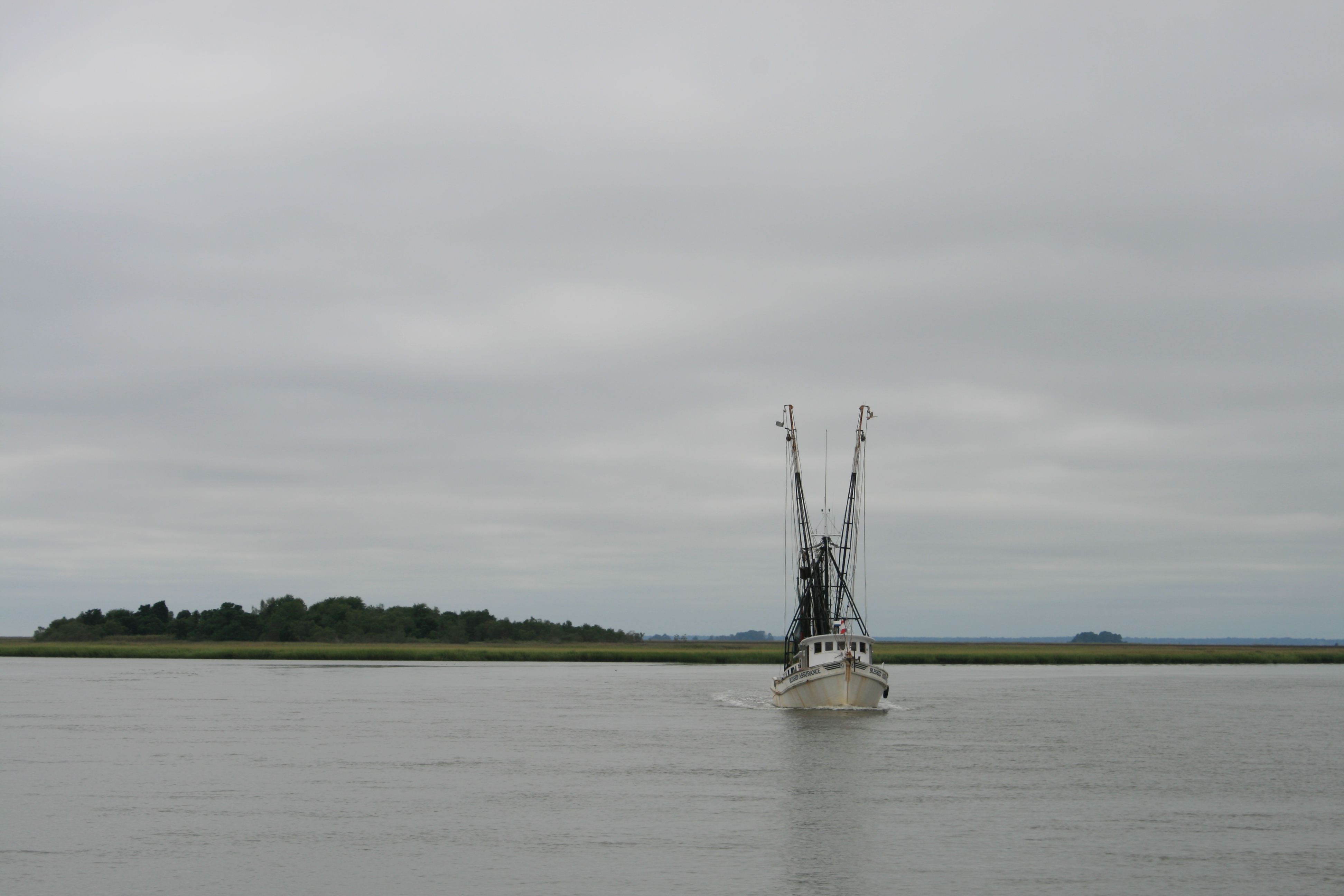
Fishing boats near Hobucken Bridge

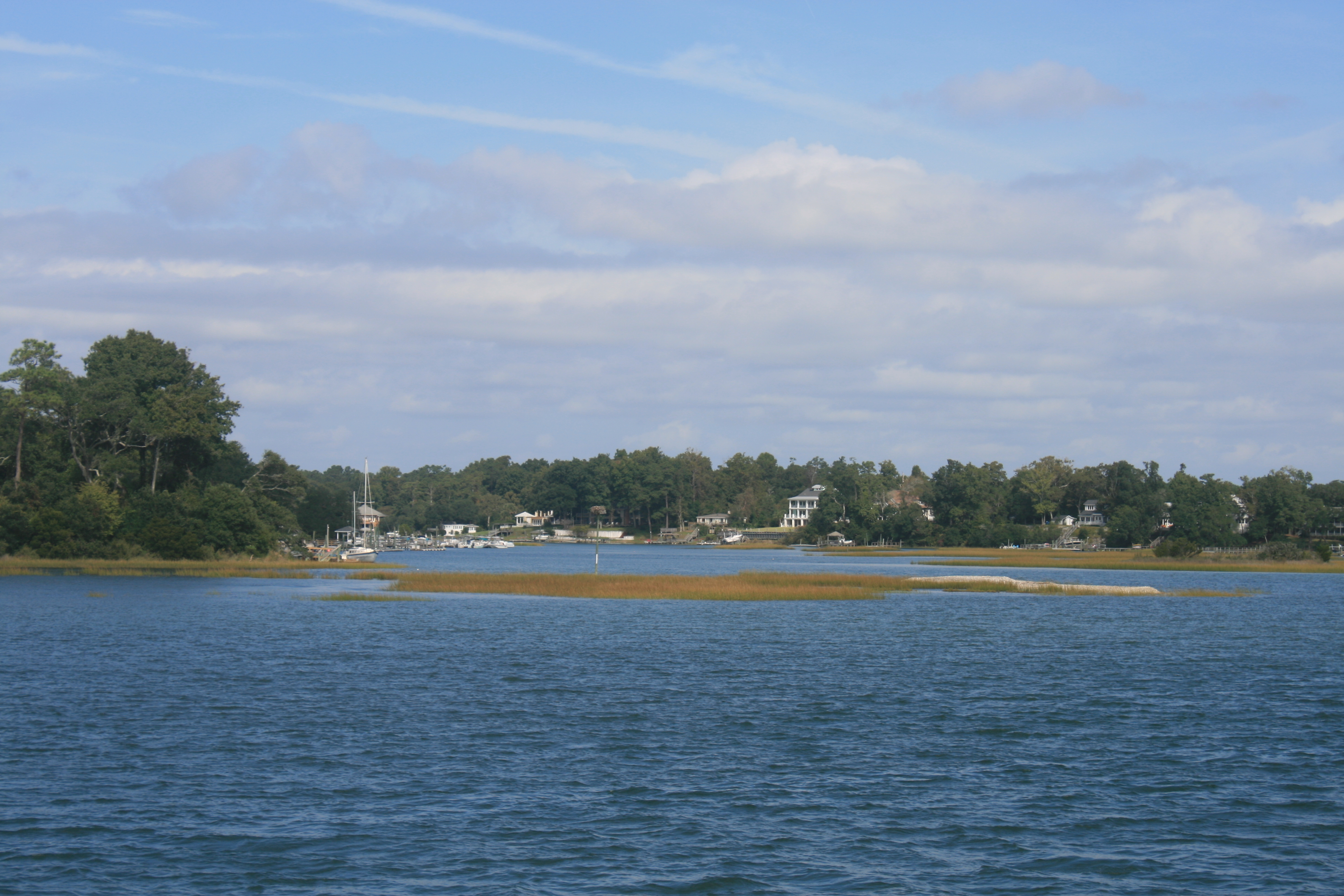
Bay River
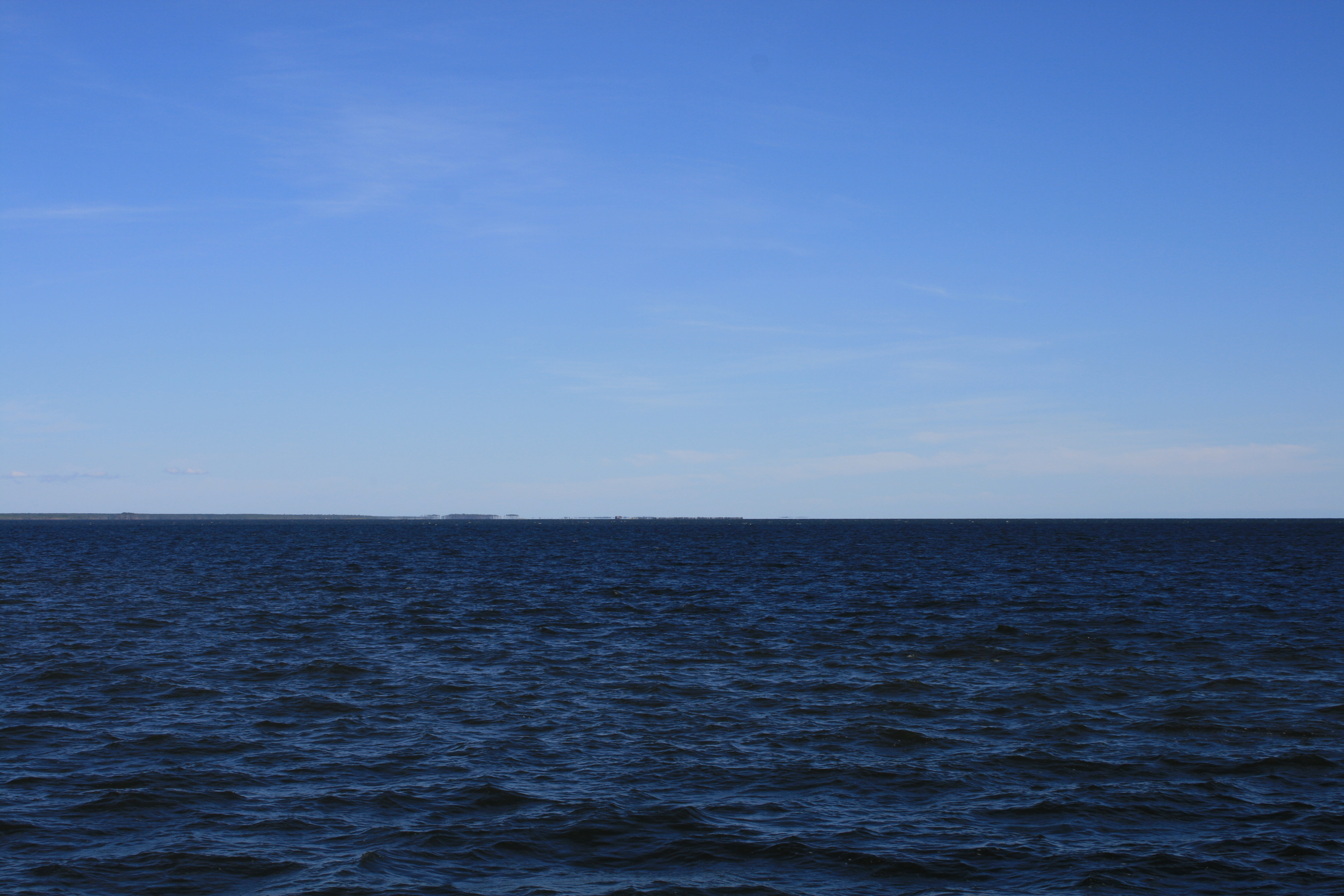
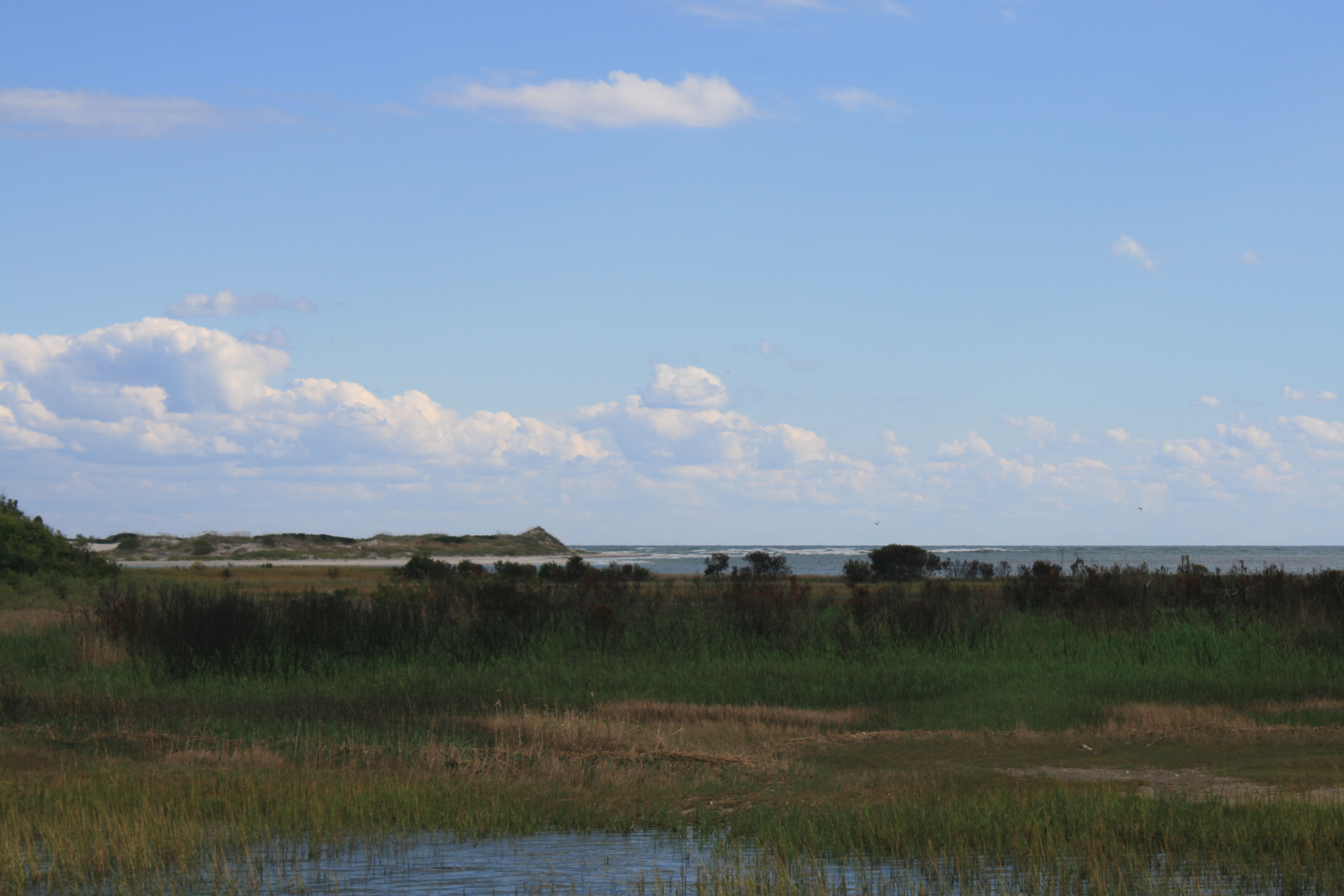
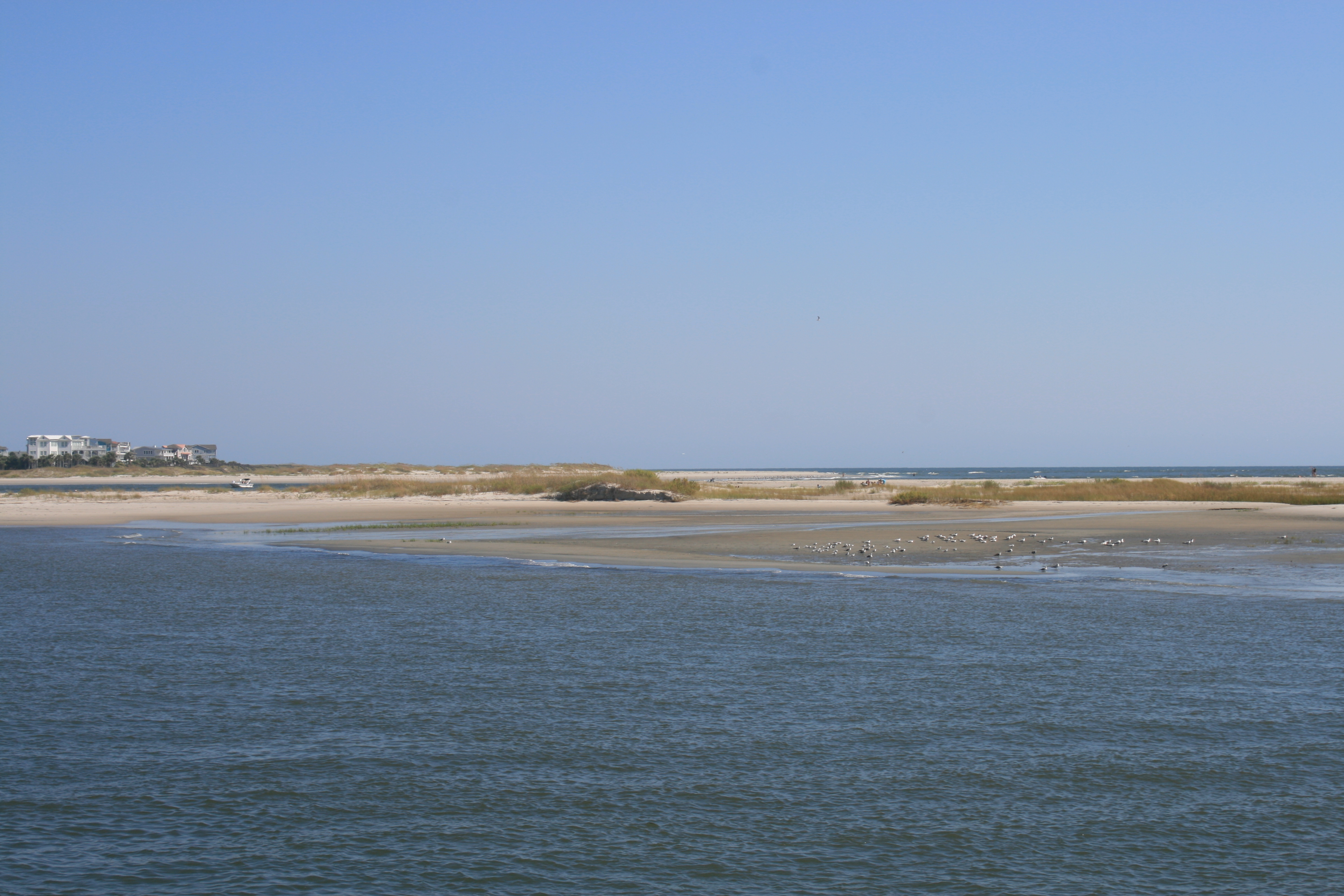
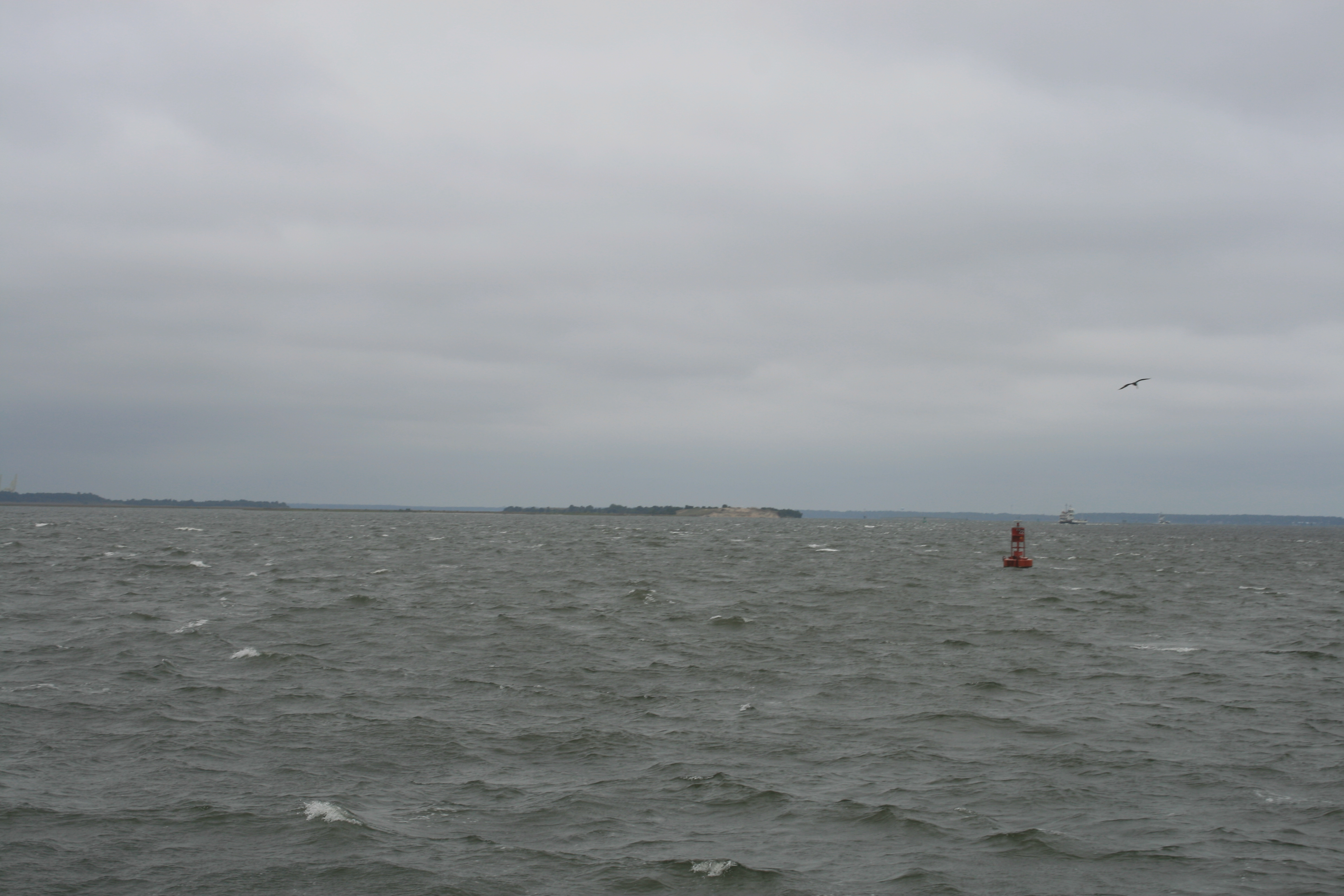
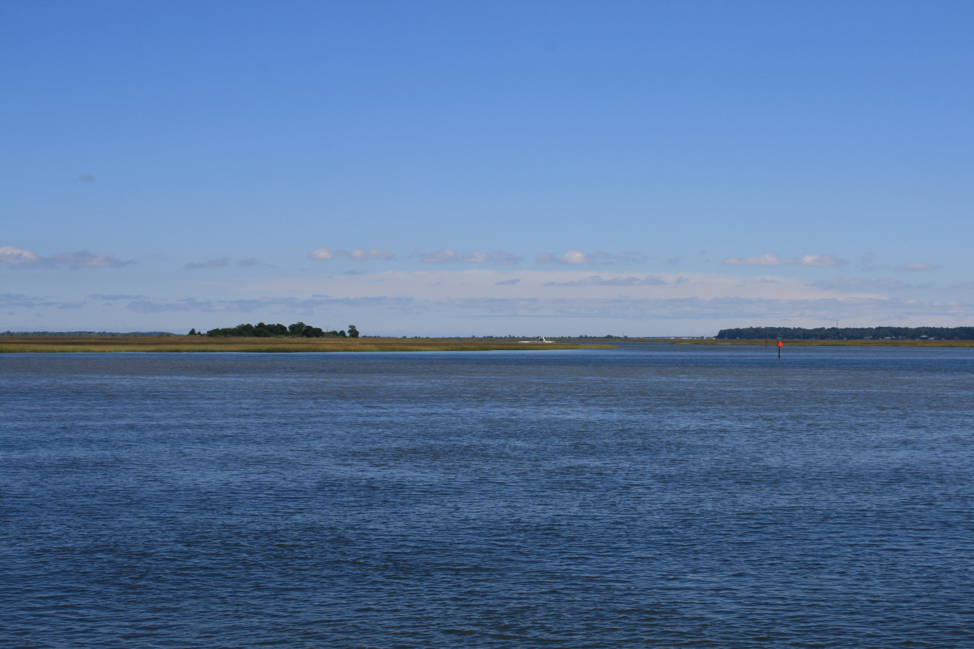
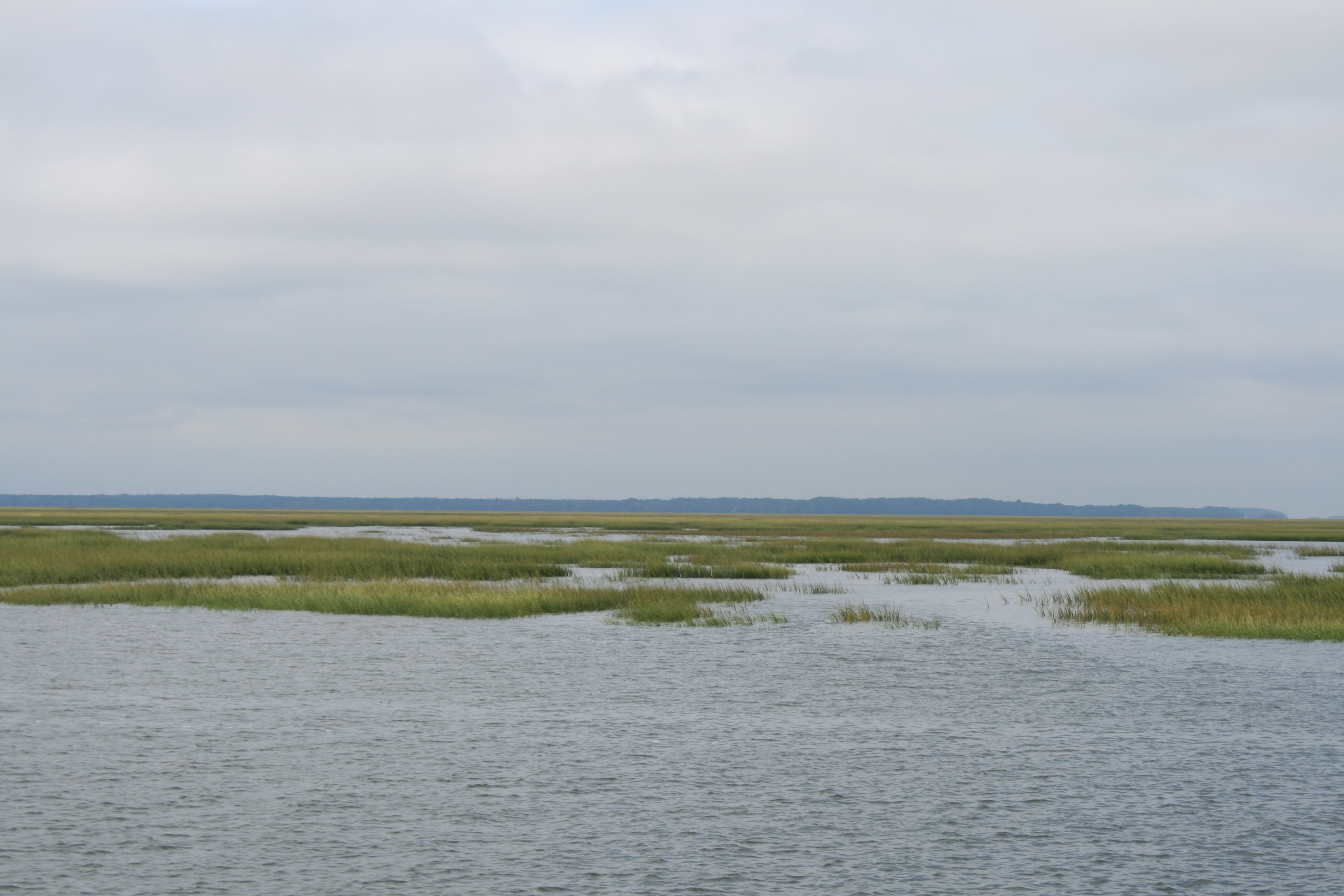
The deep blue of Pamlico Sound and the Outer Banks just visible on the horizon
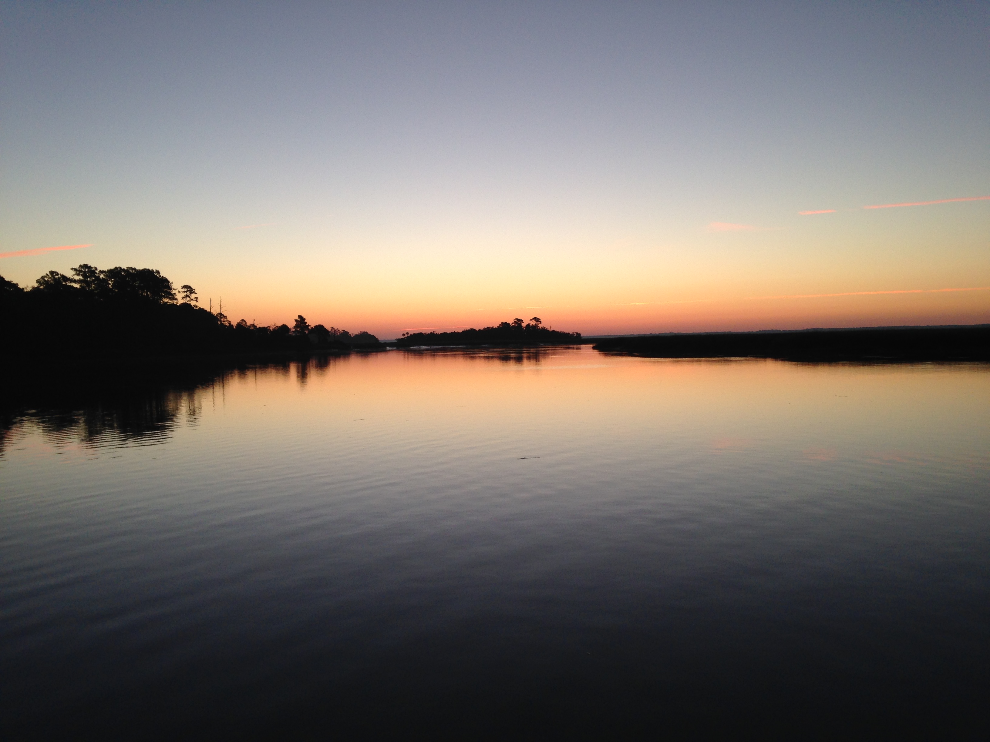
We moored out at Deep Point on the Pungo River.
Mooring at Deep Point
The weather forecast for the middle of the week was for high winds and 2 ft waves, so we had to move on to the marina at Alligator River, and wait there until it was safe to cross Albemarle Sound to Elizabeth City.
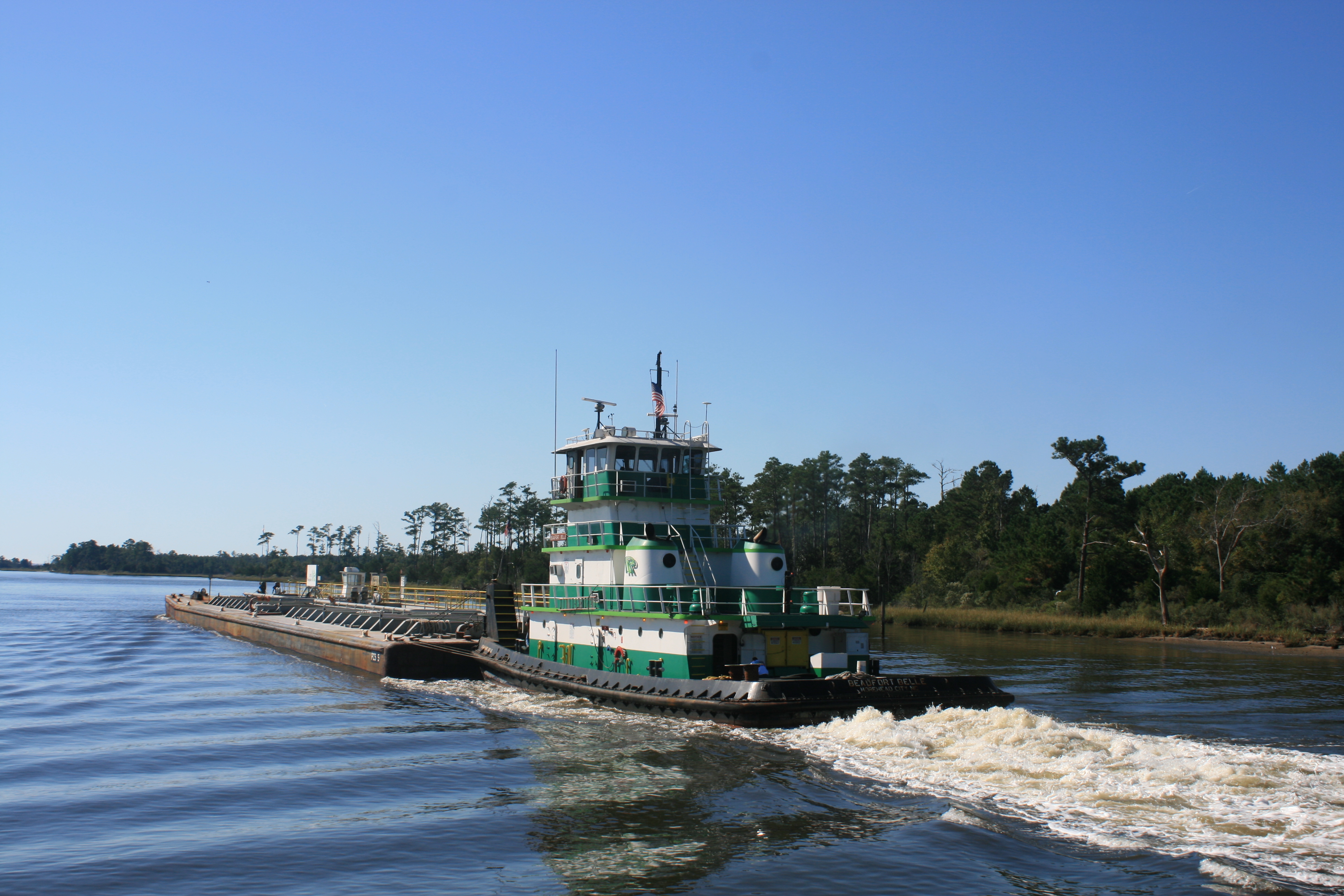
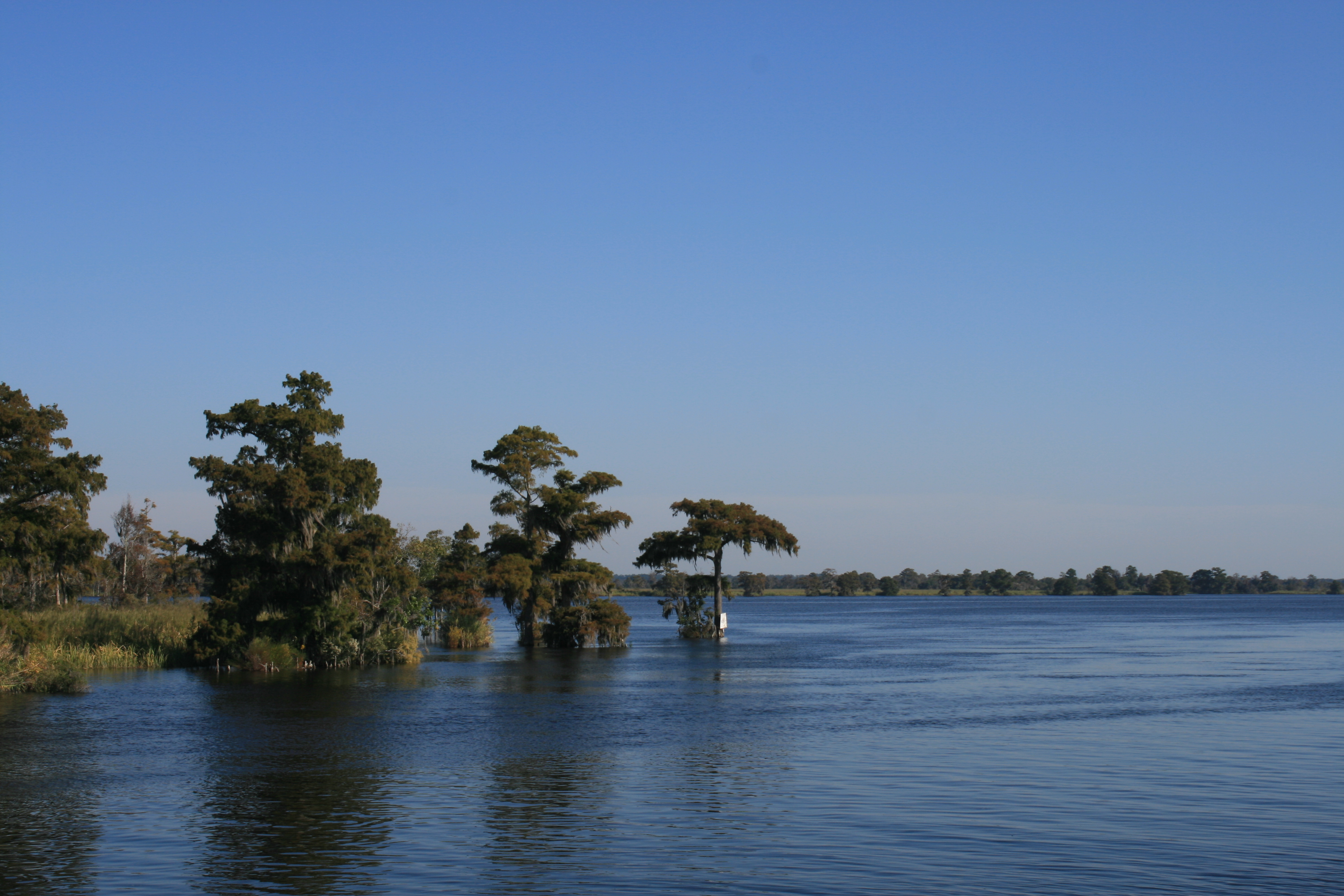
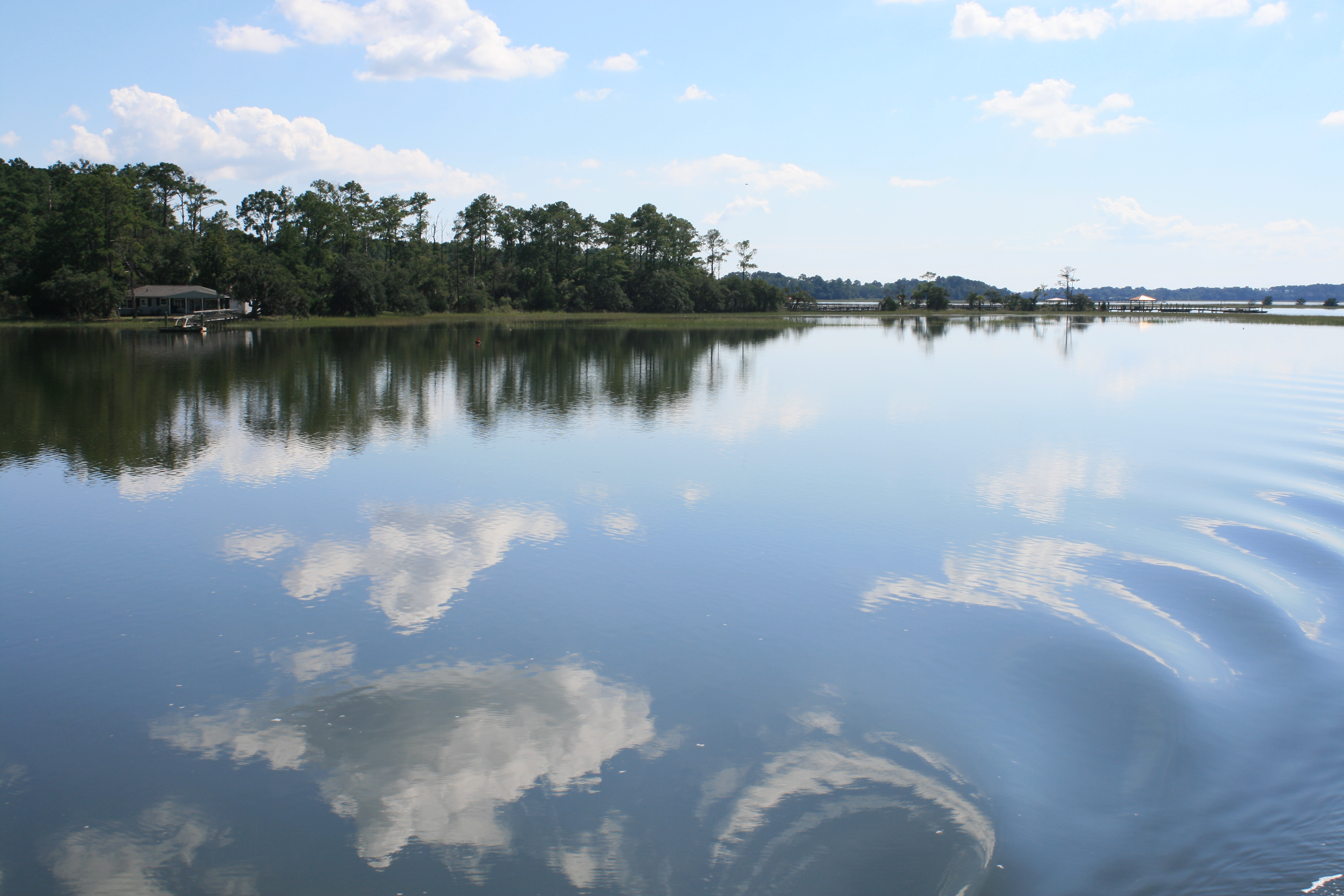
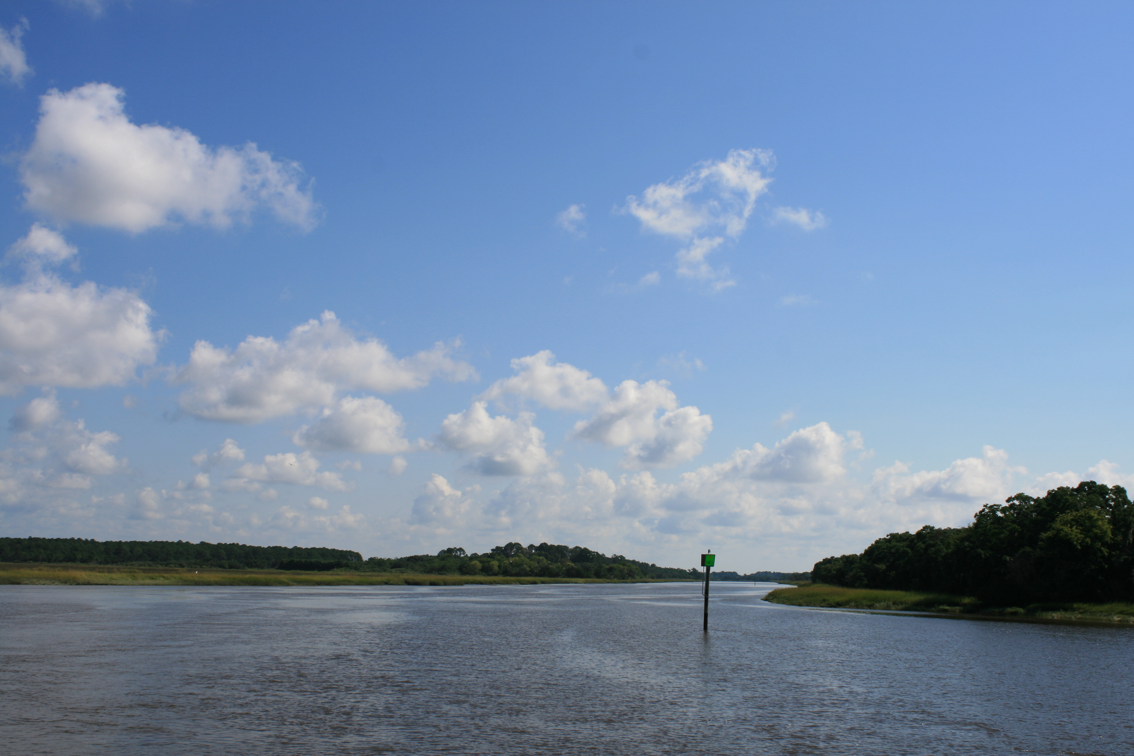
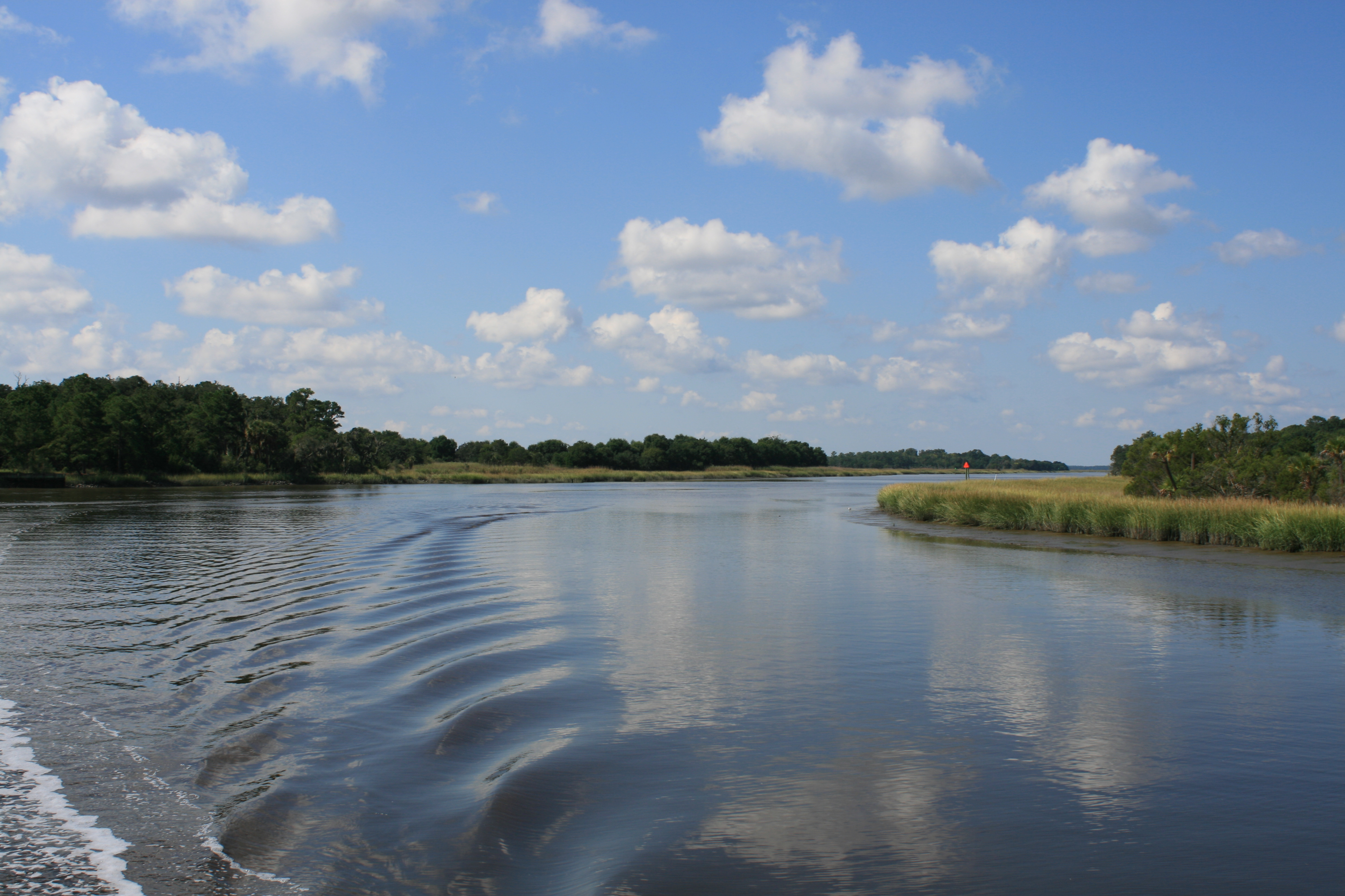
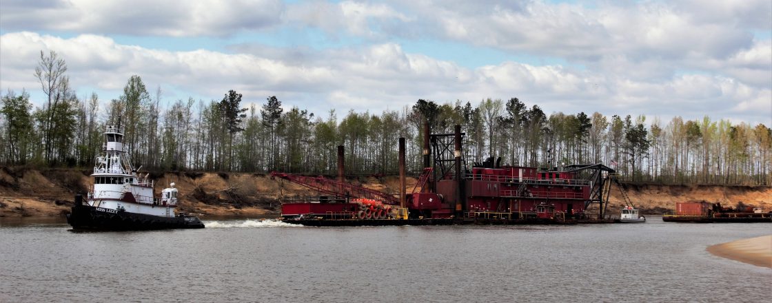
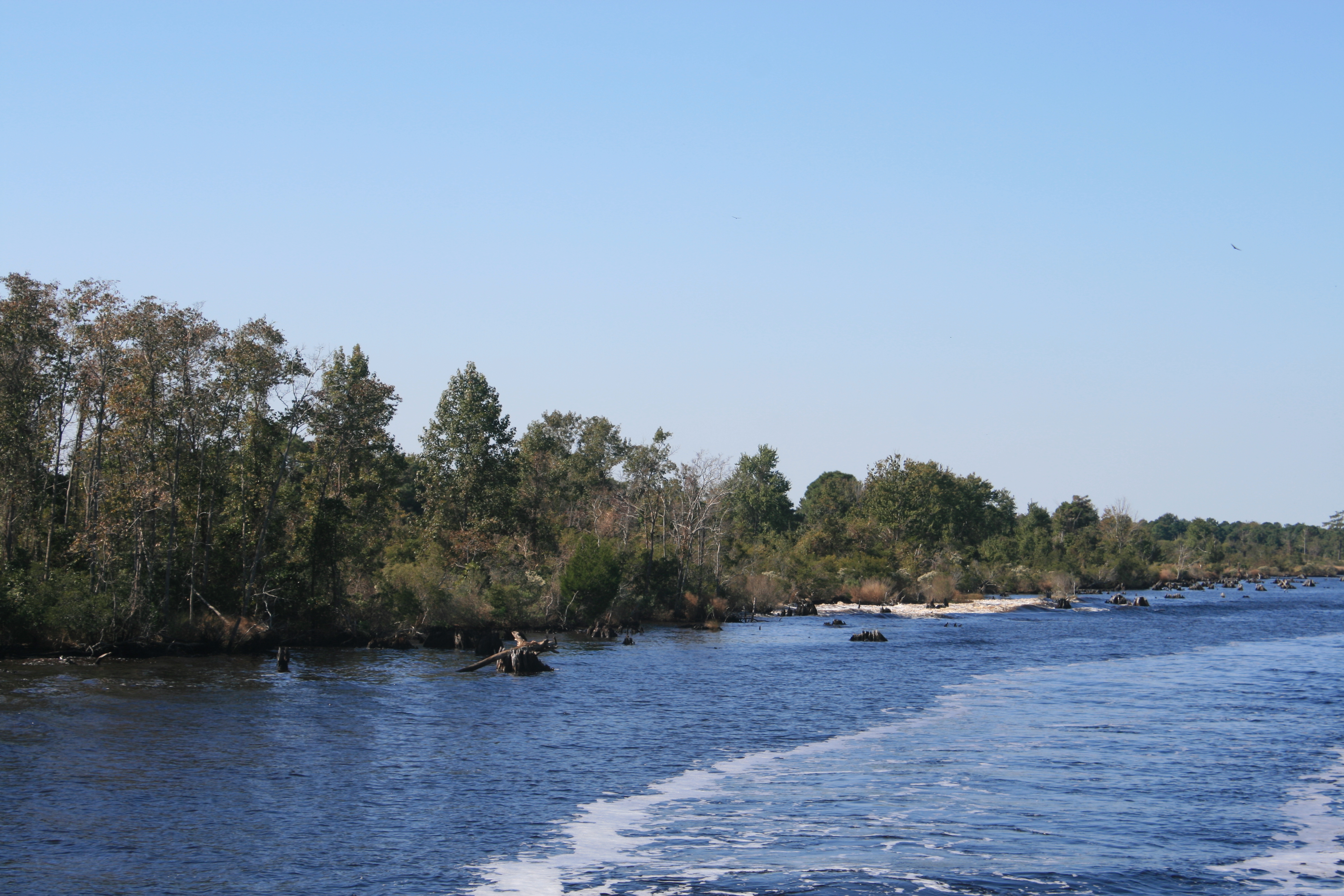
We passed through the Alligator River-Pungo River Canal, before the waterway opened up again at Alligator River.
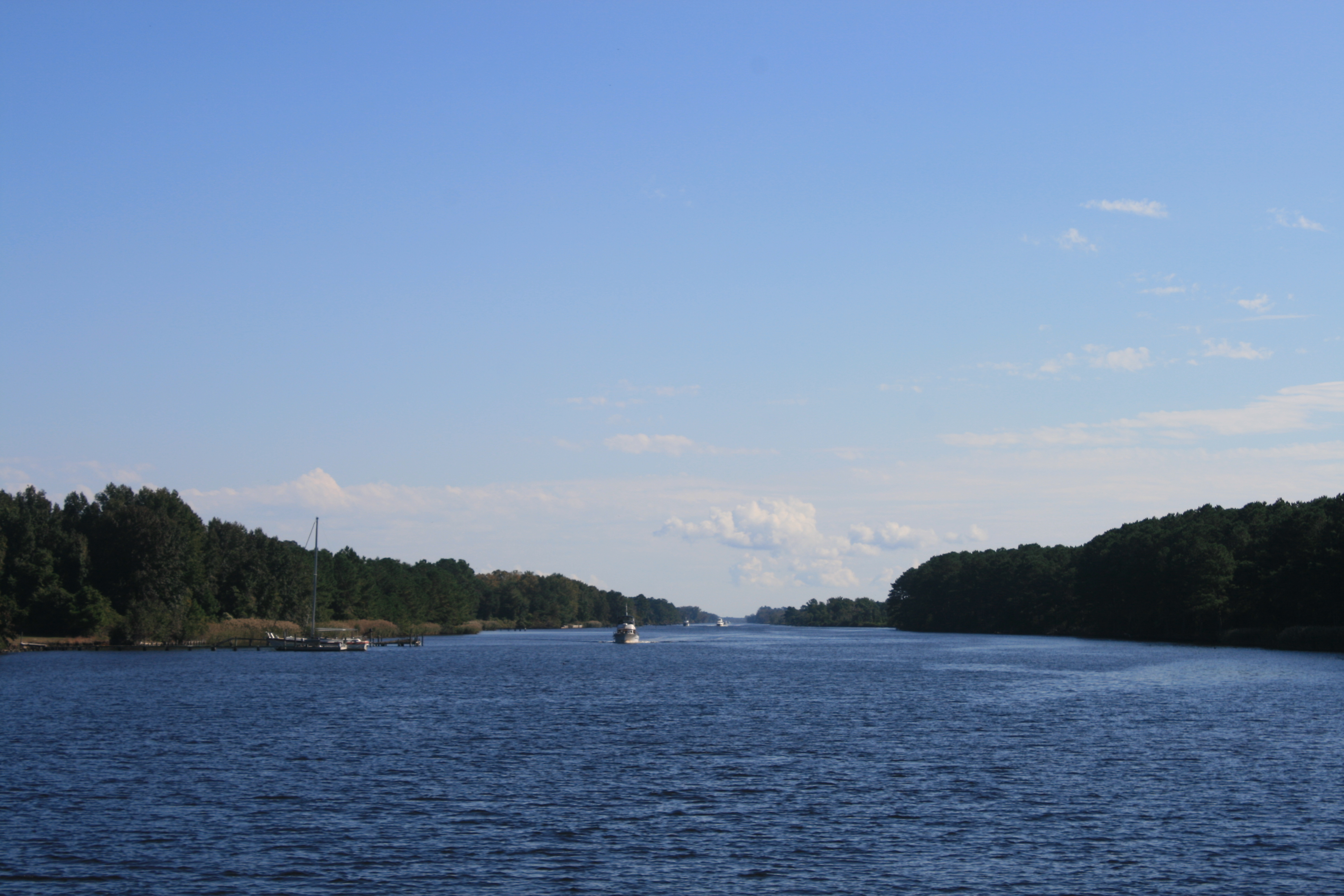
Alligator River – Pungo River Canal
Alligator River -Pungo River Canal
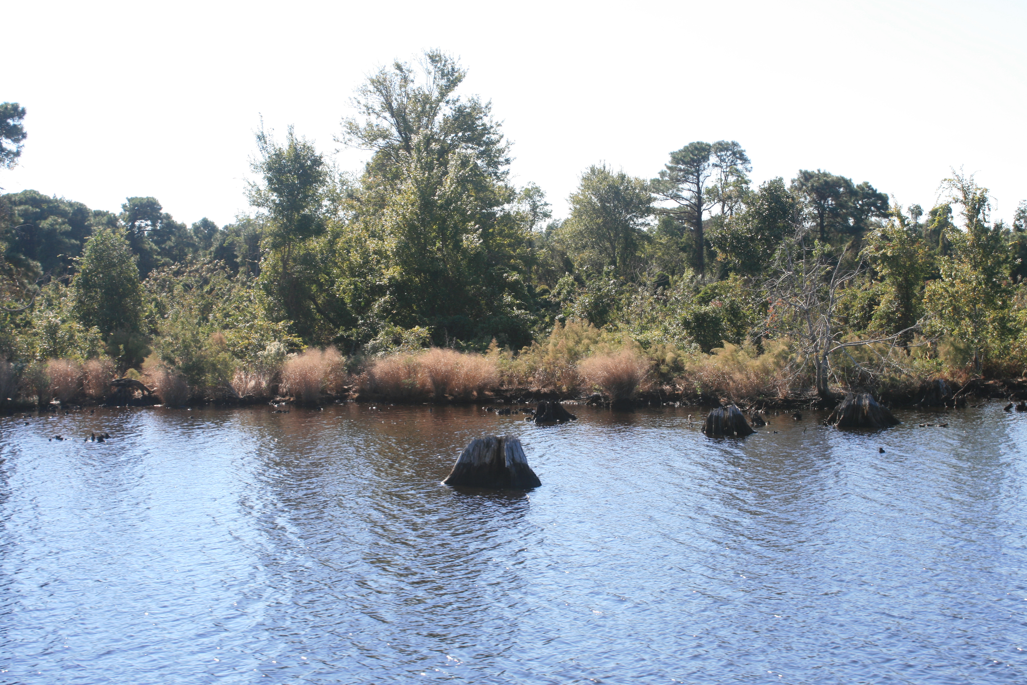
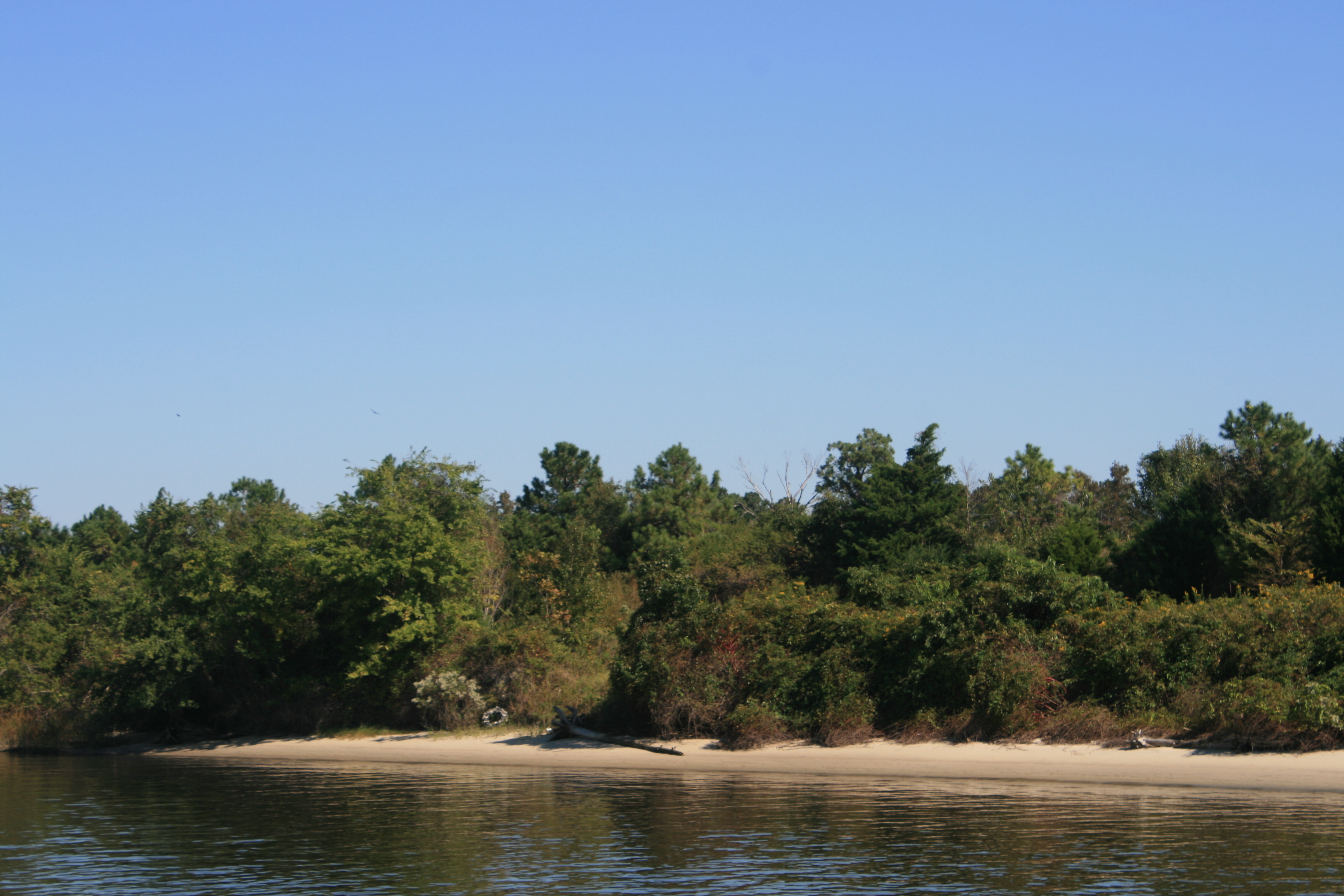
Tree stumps and beautiful colour
We had read about Alligator River Marina, and its owner Ms Wanda, in Terry Darlington’s book Narrow Dog to Indian River. According to Terry, Ms Wanda could be a bit sharp if she didn’t like you, and she tended to prefer men, so we approached with some trepidation.
Ms Wanda and her late husband had built the marina, and a petrol station with a shop-cum-diner, at a strategic point on the US 64 over 30 years ago. Tall, blonde and imposing, unlike most marina owners she presided over her establishment with the demeanour of an awe-inspiring headmistress, augmenting her authority with a series of typed notices in a large, bold font.
(In the laundry) ‘Keep the door shut at all times to prevent insects getting in. No Pets! No Smoking! Ms Wanda.’
(Outside the diner) ‘The grill closes at 6.30 promptly, so if you are dining with us, please be sure to join us by 6.00 at the latest. Ms Wanda.’ The standard of dress was also stipulated. ‘No hoods or caps.’
(In the restrooms) ‘The restrooms are cleaned to a high standard. If there is anything requiring our attention, please let the staff or Ms Wanda know.’ As if you’d dare.
And in front of the till in the shop/diner: ‘We will be happy to serve you when you have finished your telephone conversation.’
As we were staying at least 3 days, it seemed politic to eat at least once in the diner. We decided to have breakfast out for a change, and having learned that American biscuits are really scones, I opted for bacon with biscuits. This was presented with the scone sliced in half, and the thin, crispy bacon sandwiched in between. It worked very well – perhaps one to try at home.
Ms Wanda came to chat to us, pointing out the photos on the wall of a couple of large alligators that had been caught near the marina, and some others of a large black bear helping himself to apples in Ms Wanda’s garden.
Ian asked her if she remembered Terry and his narrowboat. She did, but hadn’t read his book, and laughed when we told her she was in it.
The marina was 12 miles from Columbia, the nearest town, so we had thought hiring a car wasn’t a possibility. But Ms Wanda had an arrangement with a garage on Roanoke Island, and drove us 20 miles across the bridge to Manteo to pick up a car.
Roanoke was as lovely as its name sounds.
Roanoke Colony was the first English settlement in America. In 1587, 118 pioneers set sail from Plymouth, after Sir Walter Raleigh had advised Elizabeth I that she must stake a claim to the New World, before the Spanish and French became dominant. At least one child, Virginia Dare, was born there. But the colonists became desperate for provisions, and Virginia’s grandfather, Captain White, went back to England for help. When he returned 3 years later, there was no trace of the colonists, and their fate has been the subject of much speculation, and recently, some scientific research.
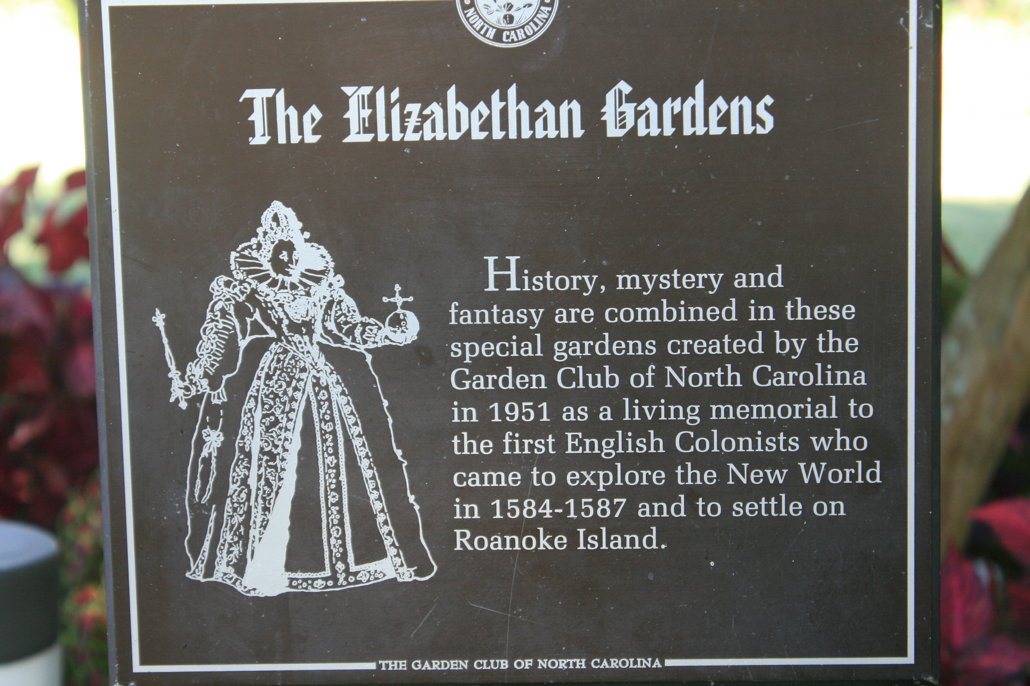
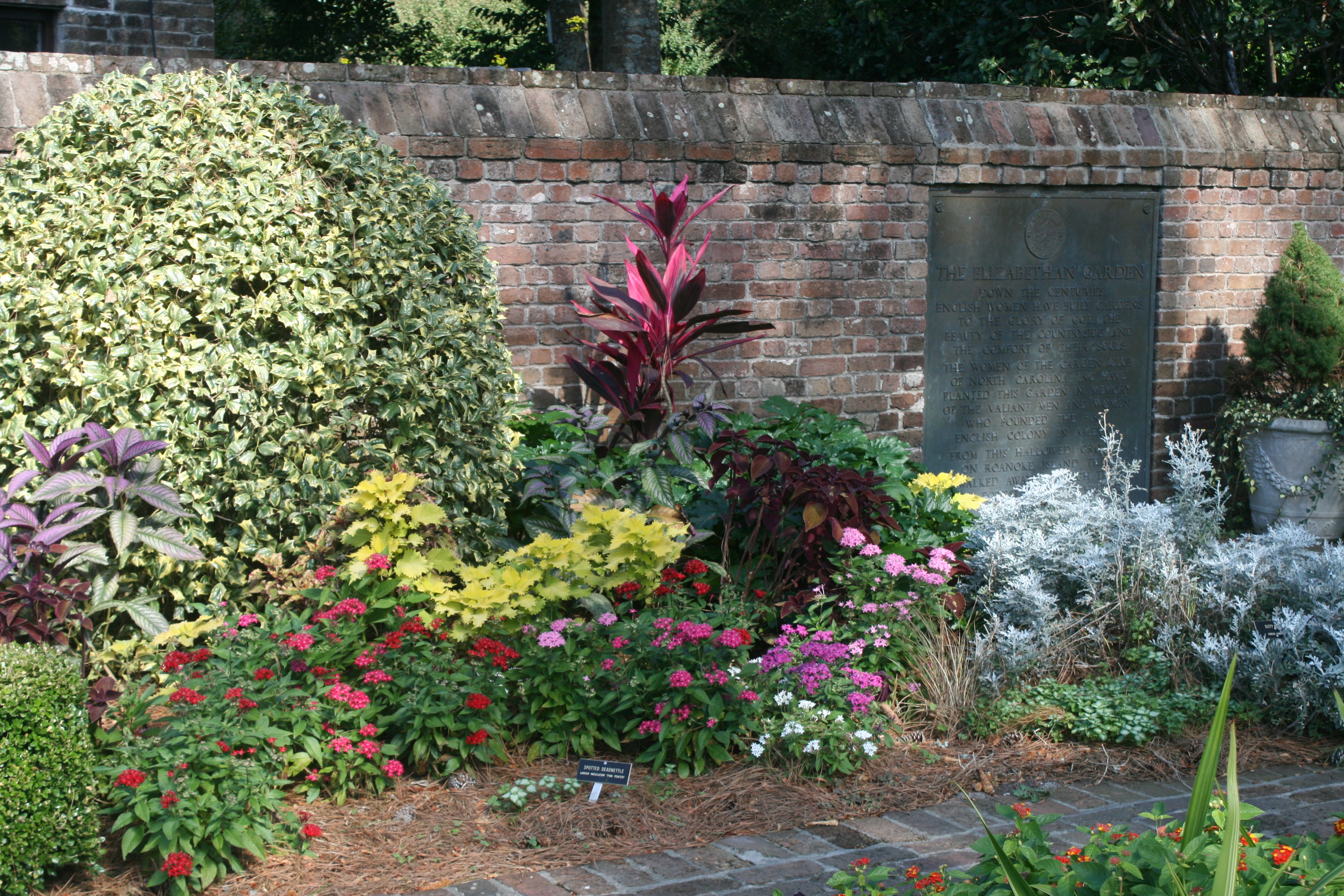
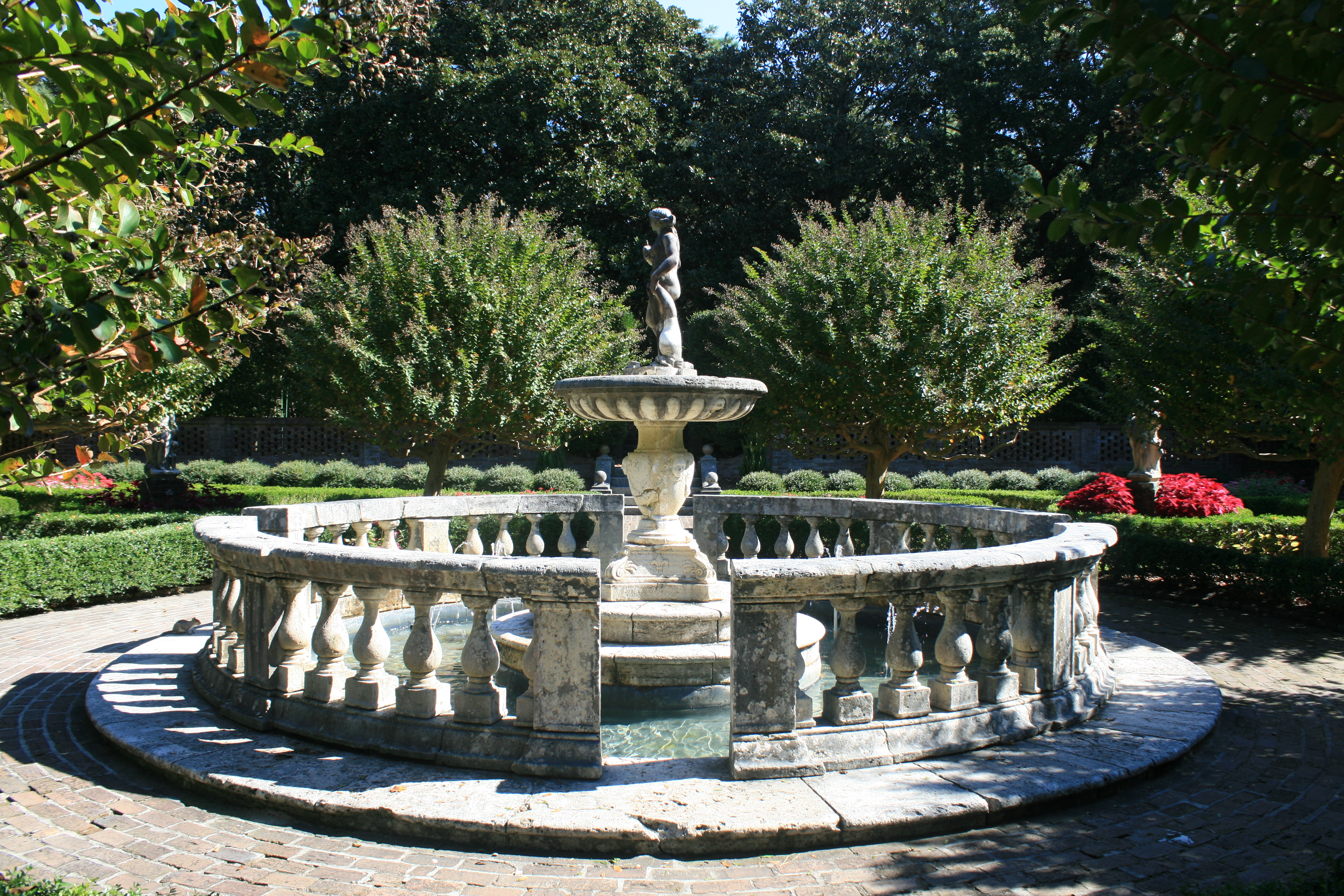
In the visitor centre, the lady we spoke to said the islanders felt strong ties with England, growing up with the story of the Lost Colony, which is enacted every year in the outdoor theatre at Fort Raleigh, where the colony was. We went to Fort Raleigh, and walked round the lovely Elizabethan Gardens, created by the Garden Club of North Carolina in memory of the pioneers of the Lost Colony.
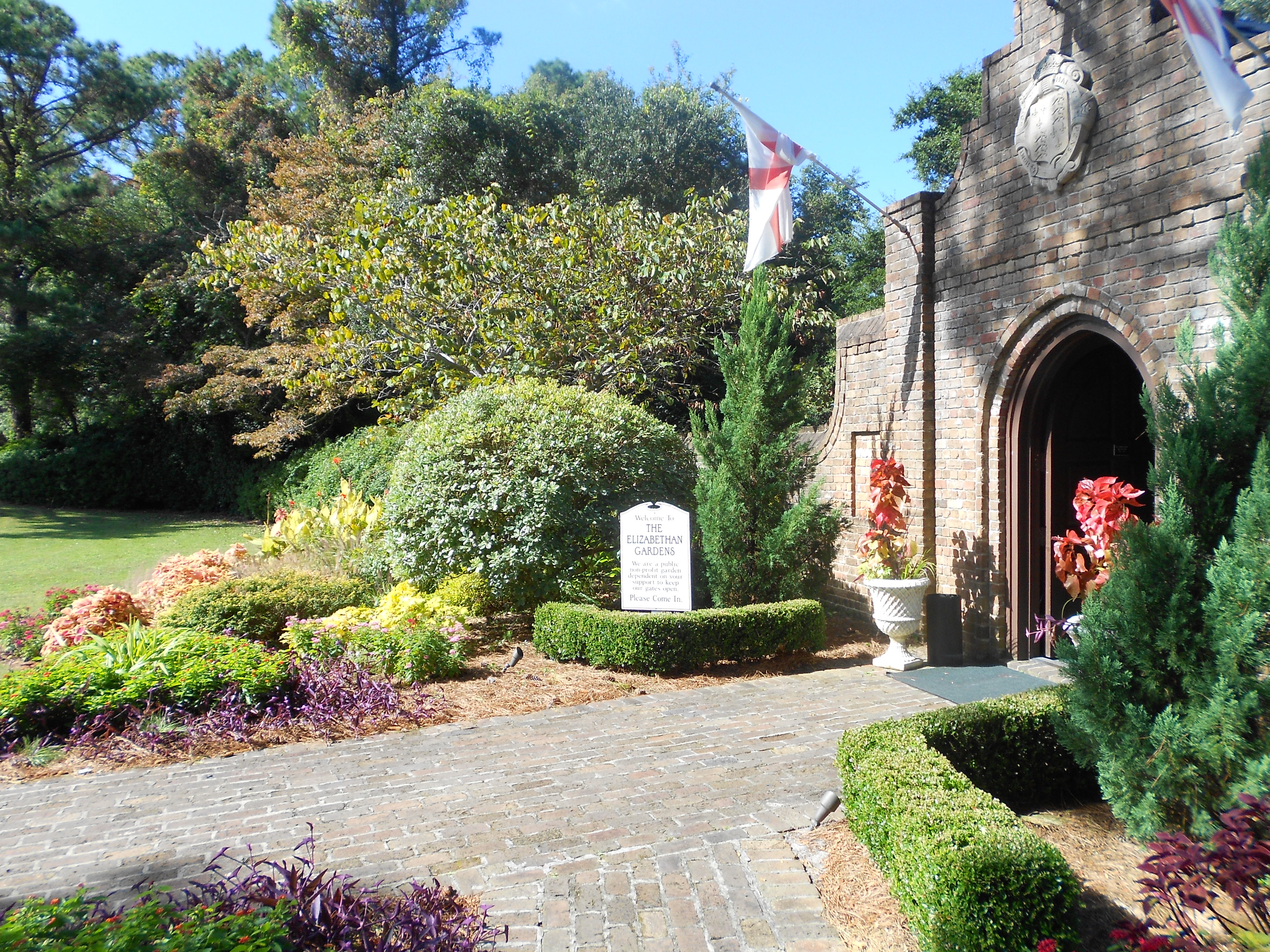
Entrance to the Elizabethan Gardens, Fort Raleigh, Roanoke

Camellia in bloom in the autumn
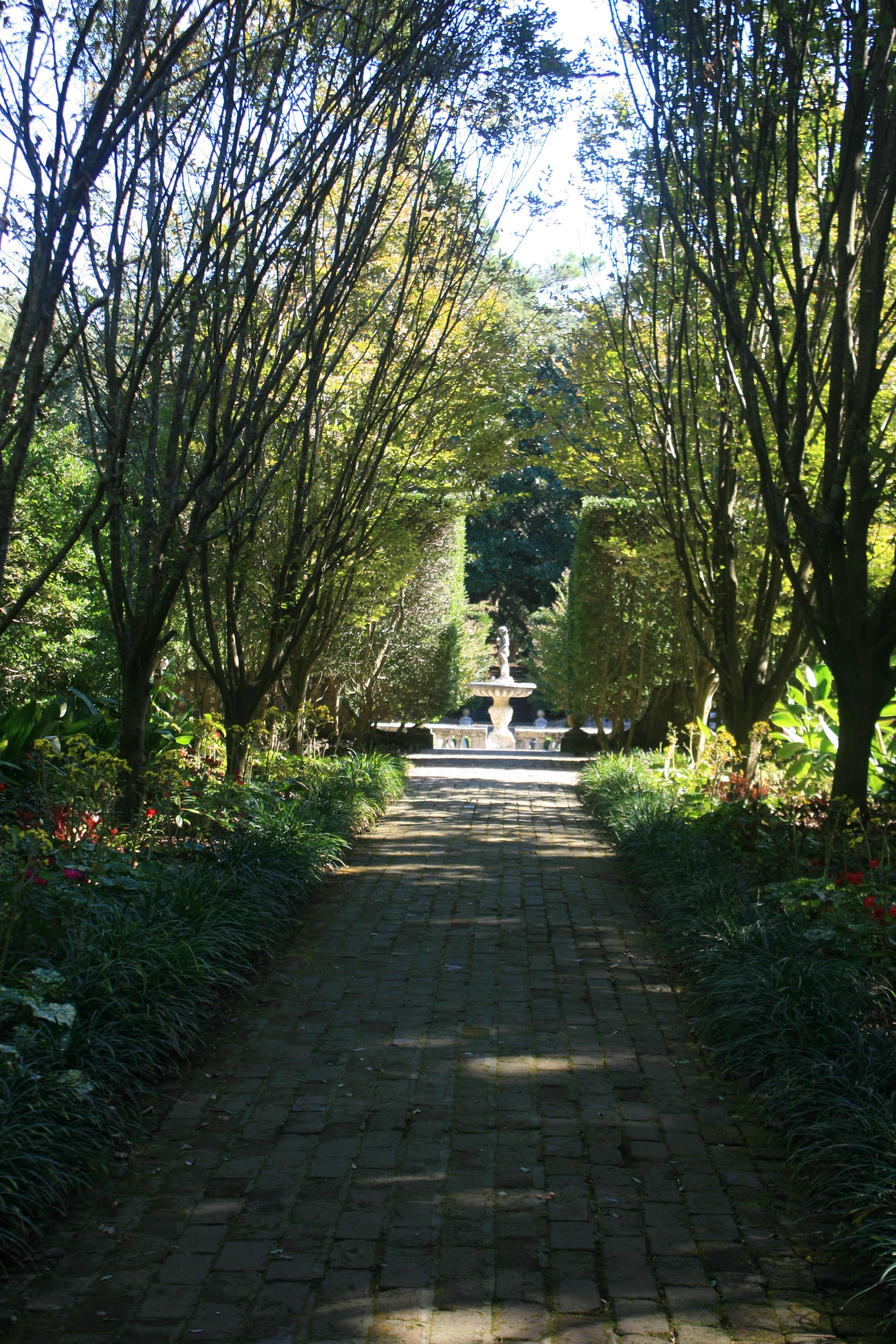
The Hornbeam Walk

Camellias
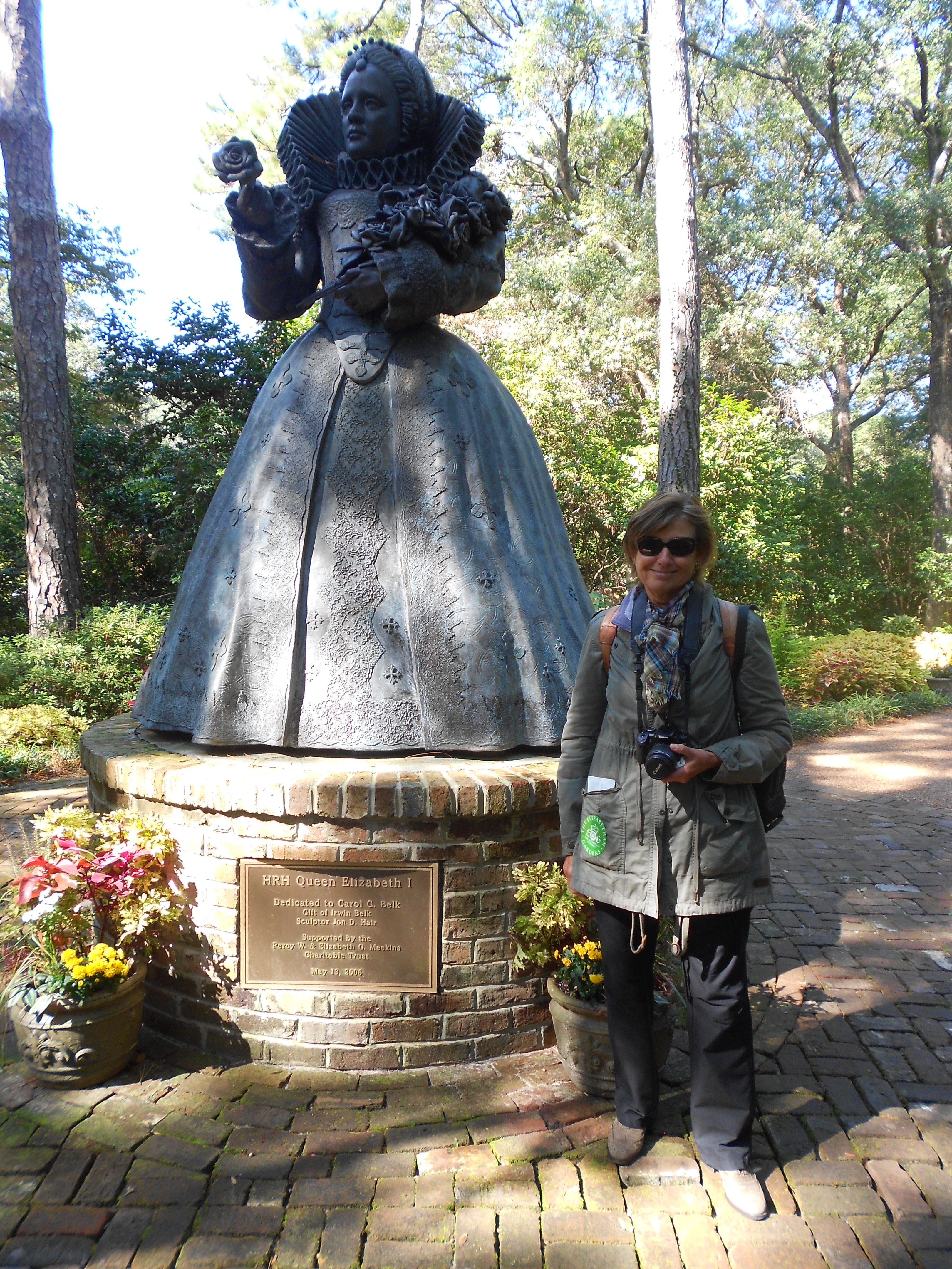
With Queen Elizabeth 1

Where the colonists landed
We had lunch in Poor Richard’s Sandwich Bar in Manteo, the main town of Roanoke. I was dubious about an establishment that would include the word ‘poor’ in its name, suggesting as it perhaps does, that the business wasn’t doing all that well. I was reminded too of the infamous Waitrose campaign in which shoppers were asked to complete the statement ‘I shop at Waitrose because……….’ and one of the answers was ‘because I don’t like shopping around poor people’. The small shop front was unprepossessing, with no menu outside, and a couple of chairs in the window. It didn’t even look open, let alone as though it had any customers. But by now, Ian was determined to try it, so we had to go in. The long narrow hallway led to a large room at the back, full of people enjoying Poor Richard’s fare. We sat on the verandah overlooking Manteo waterfront and Roanoke Festival Island, where we could see the replica of Raleigh’s ship Elizabeth II, and had a good lunch.
I’ve now been advised by a correspondent that ‘Poor Richard’ is a reference to Poor Richard’s Almanack, a yearly almanac published by Benjamin Franklin, from 1732 to 1758.
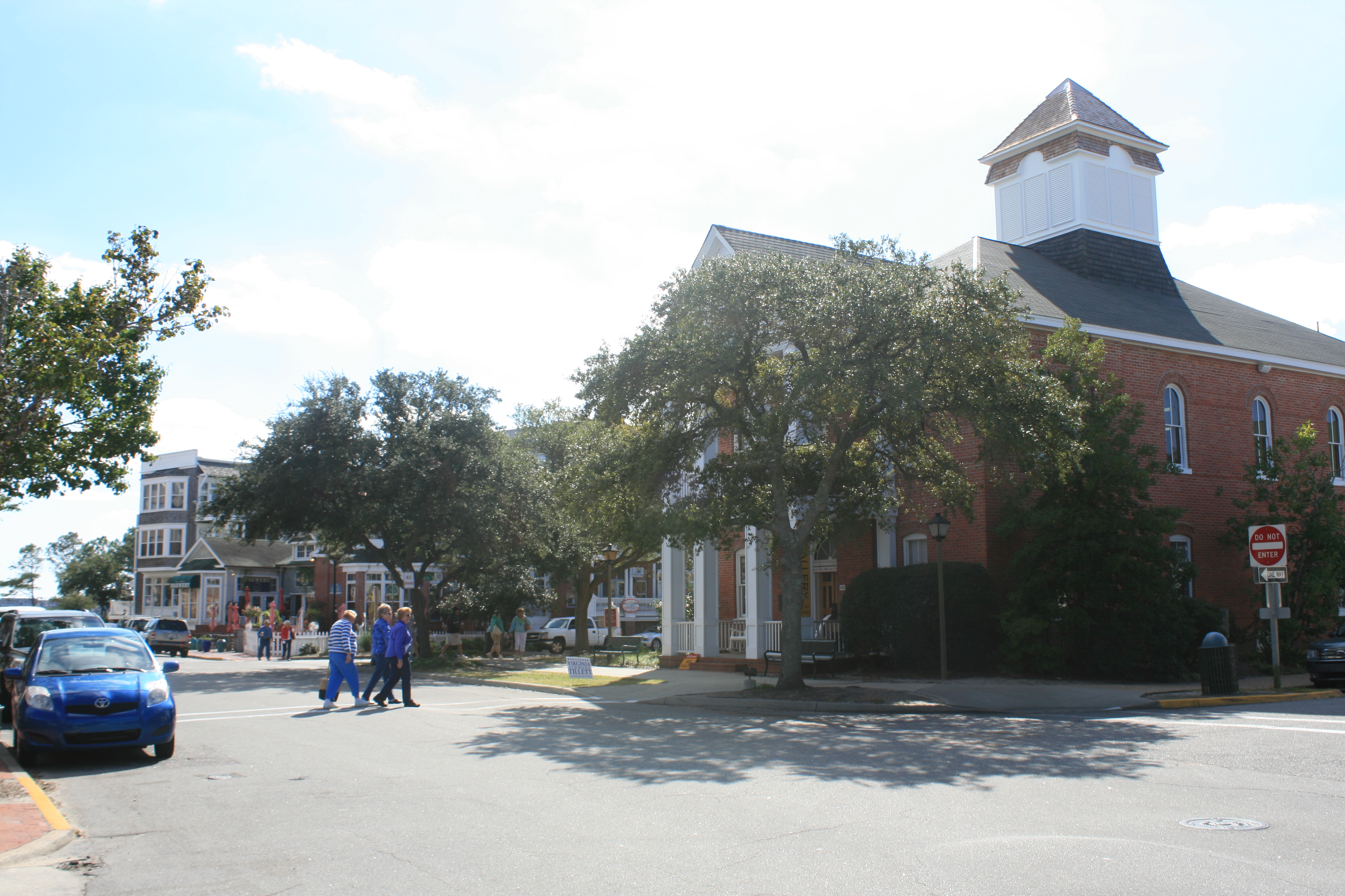
Main St, Manteo
Later, we drove to Kitty Hawk on the Outer Banks, to the Wright Brothers National Memorial.
Orville and Wilbur Wright had identified Kill Devil Hills and Kitty Hawk as a suitable place for their experiments, as the area was sandy and there were no high trees. On 17th December, 1903, after many unsuccessful attempts, they made 3 flights, the longest one lasting 59 seconds.
Inside the centre, there was an actual size replica of the plane, and a great deal about the aeronautical experiments and calculations they made. But it was the human side that touched me – the telegram Orville sent to their father, a bishop in Dayton, Ohio, and the sheds in which they had lived, cooked, worked and slept in the years before their first successful flight.
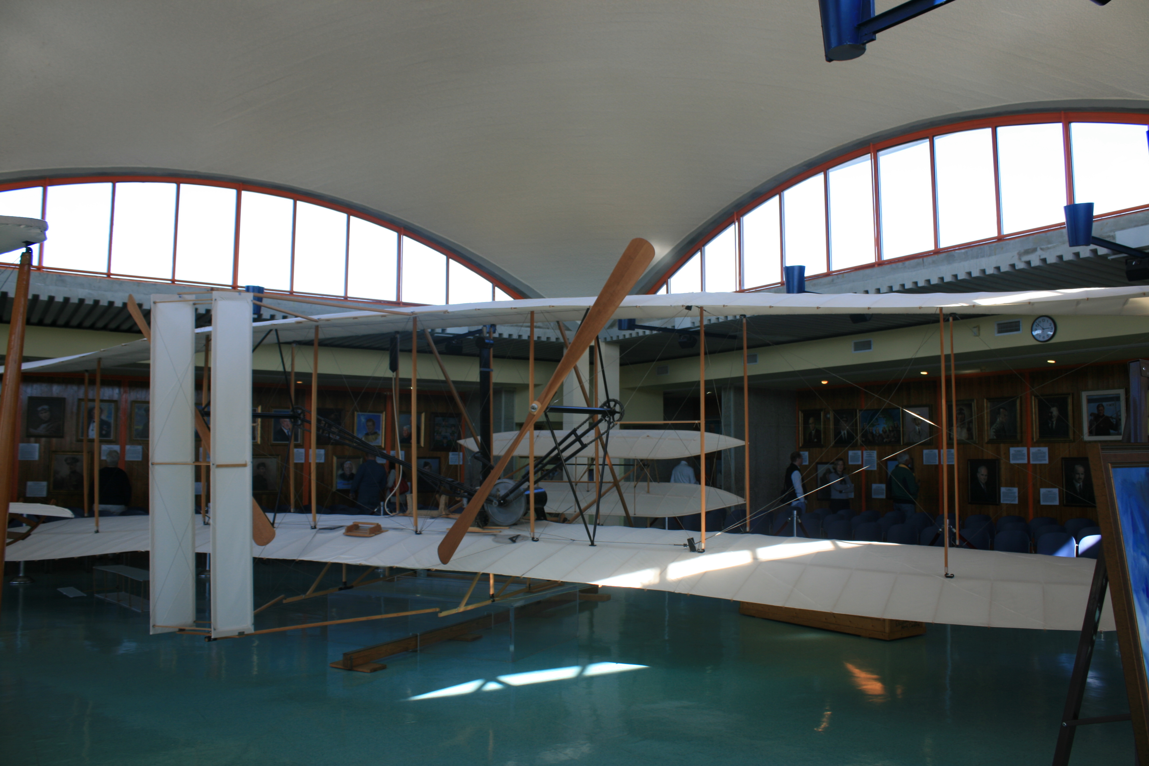
Replica of the first aeroplane
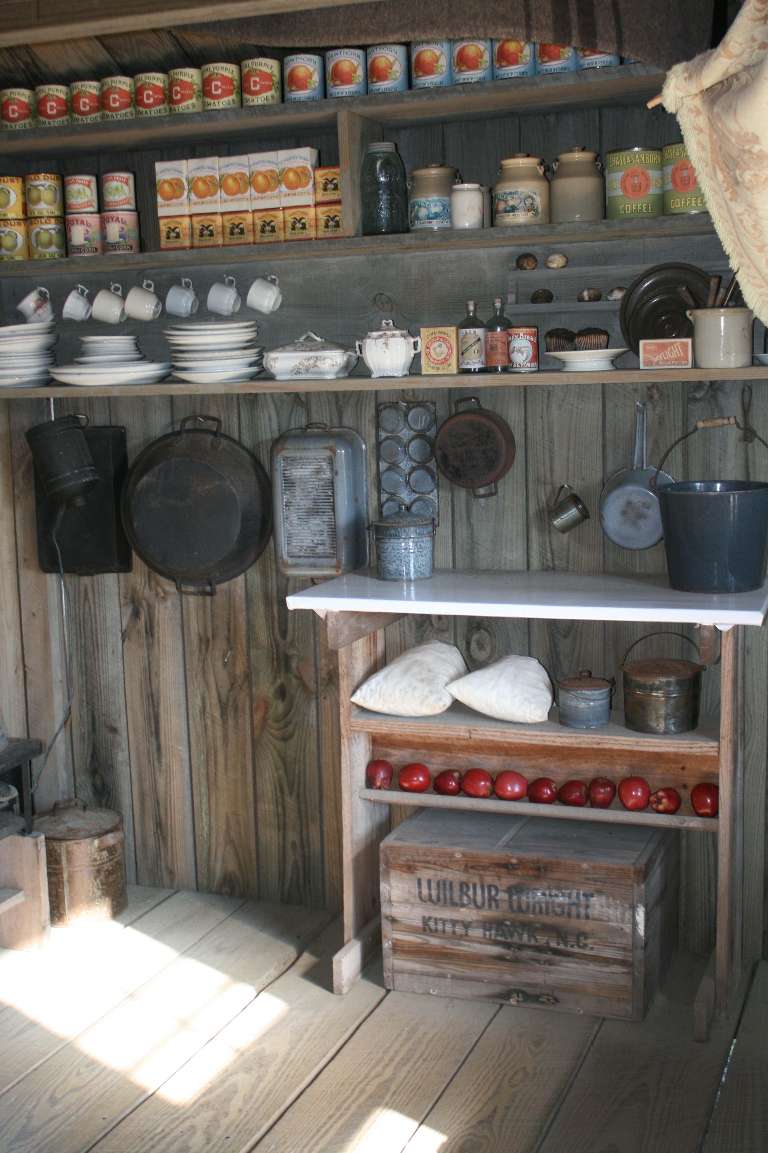
The kitchen at the Wrights’ camp
They had to bring all their provisions by schooner from Elizabeth City, as there were no roads to the Outer Banks.

The site of the first flight. The two sheds are the camp.
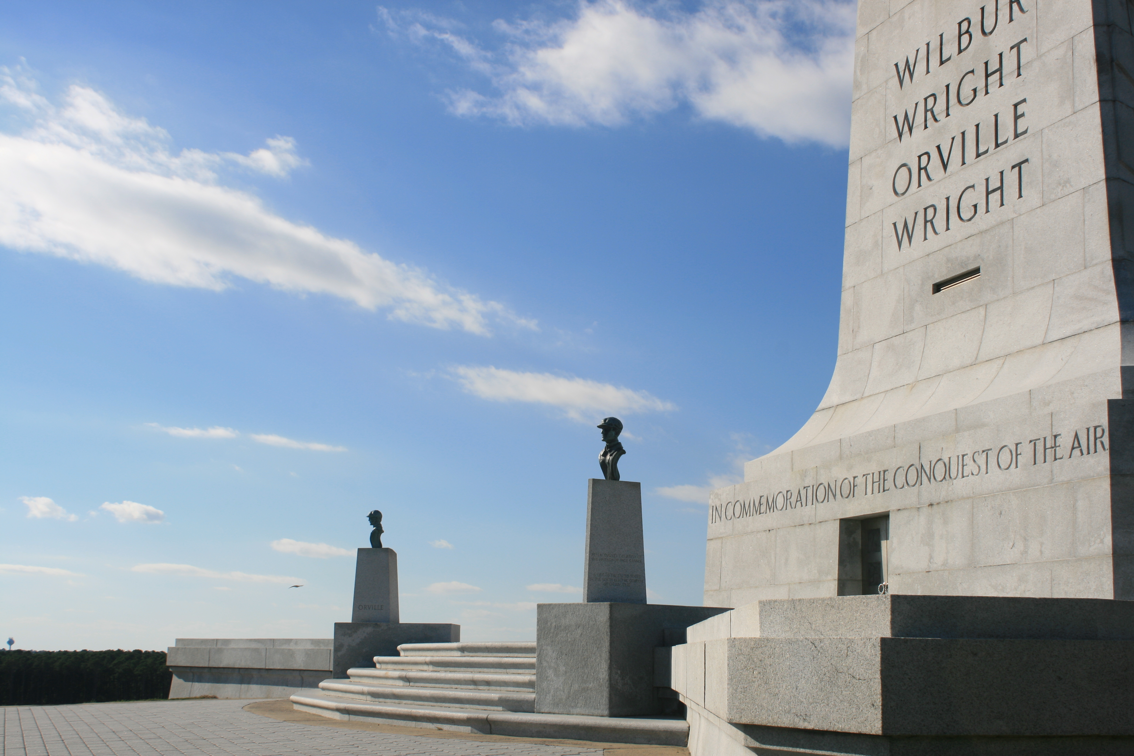
The memorial
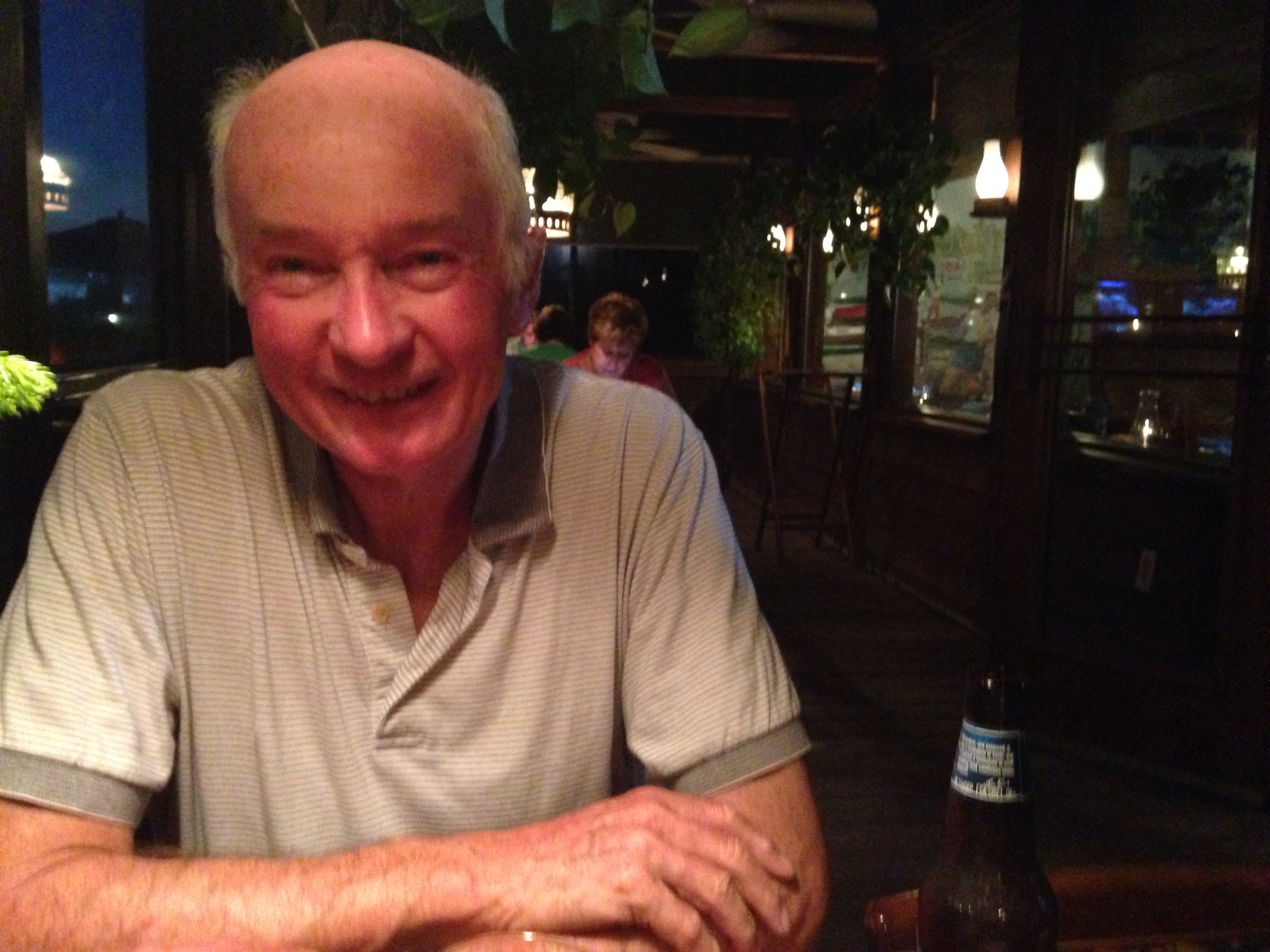
Columbia, North Carolina, doesn’t feature in the guidebooks, but we went there the next day to have a look round. It was pleasant and unpretentious. Ian had been keen to get a haircut for some weeks and the opportunity suddenly presented itself on Main Street. There was an old-fashioned barber’s shop, so we went in. The barber was asleep in the back, but he got to his feet when he heard us, and made us welcome. I thought he looked in his late 70’s, but this proved a conservative estimate. He mentioned that he had been in the Pacific in WW2, and then that he had put up with his wife for 75 years, at which point the Captain couldn’t resist interjecting that he had only had to put up with his for 45 years. Finally, we learned that Mr Mitchell was 97, and had started his shop in 1937.

Ian with Mr Robert Mitchell in his barber’s shop, Columbia, NC
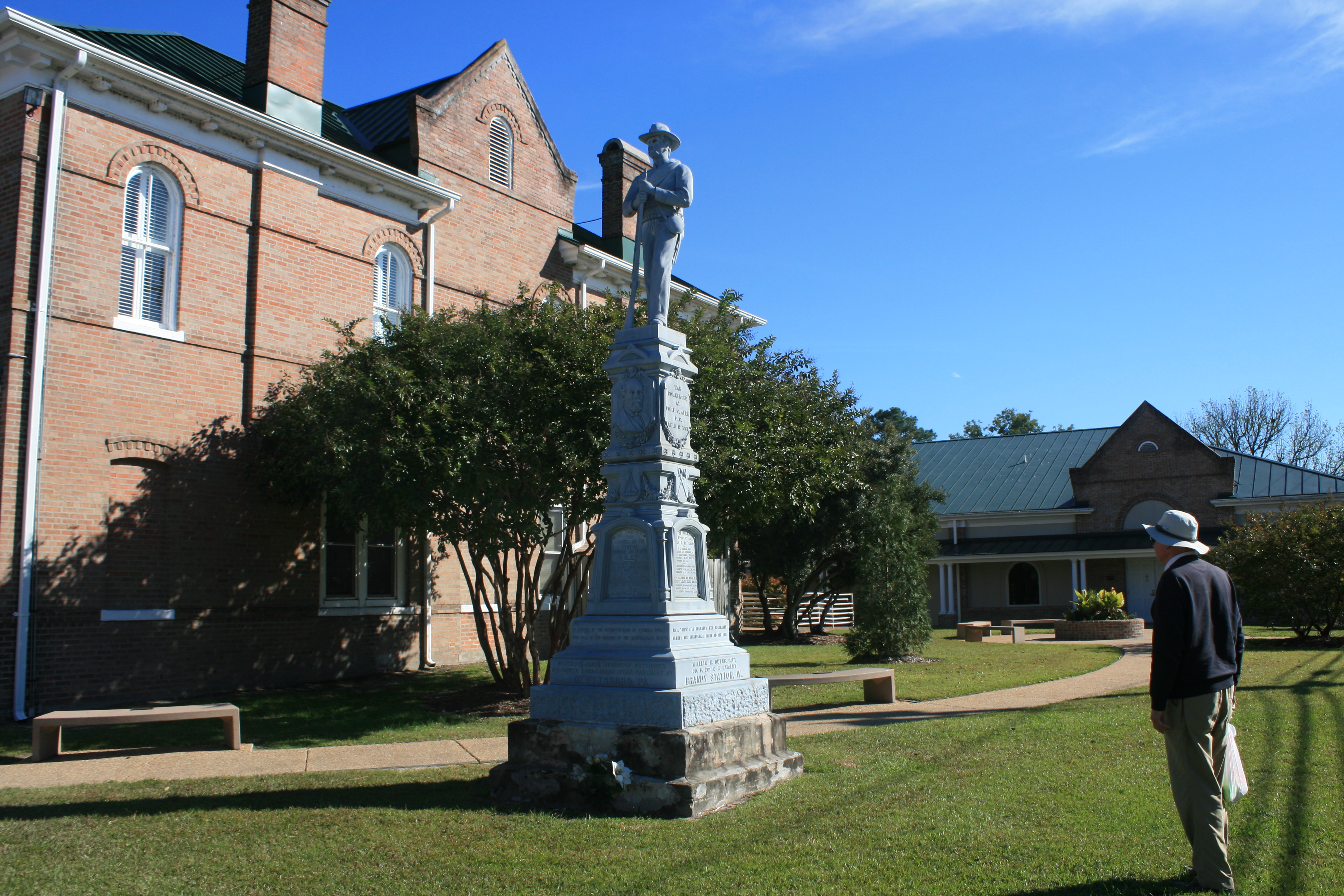
War Memorial. Columbia

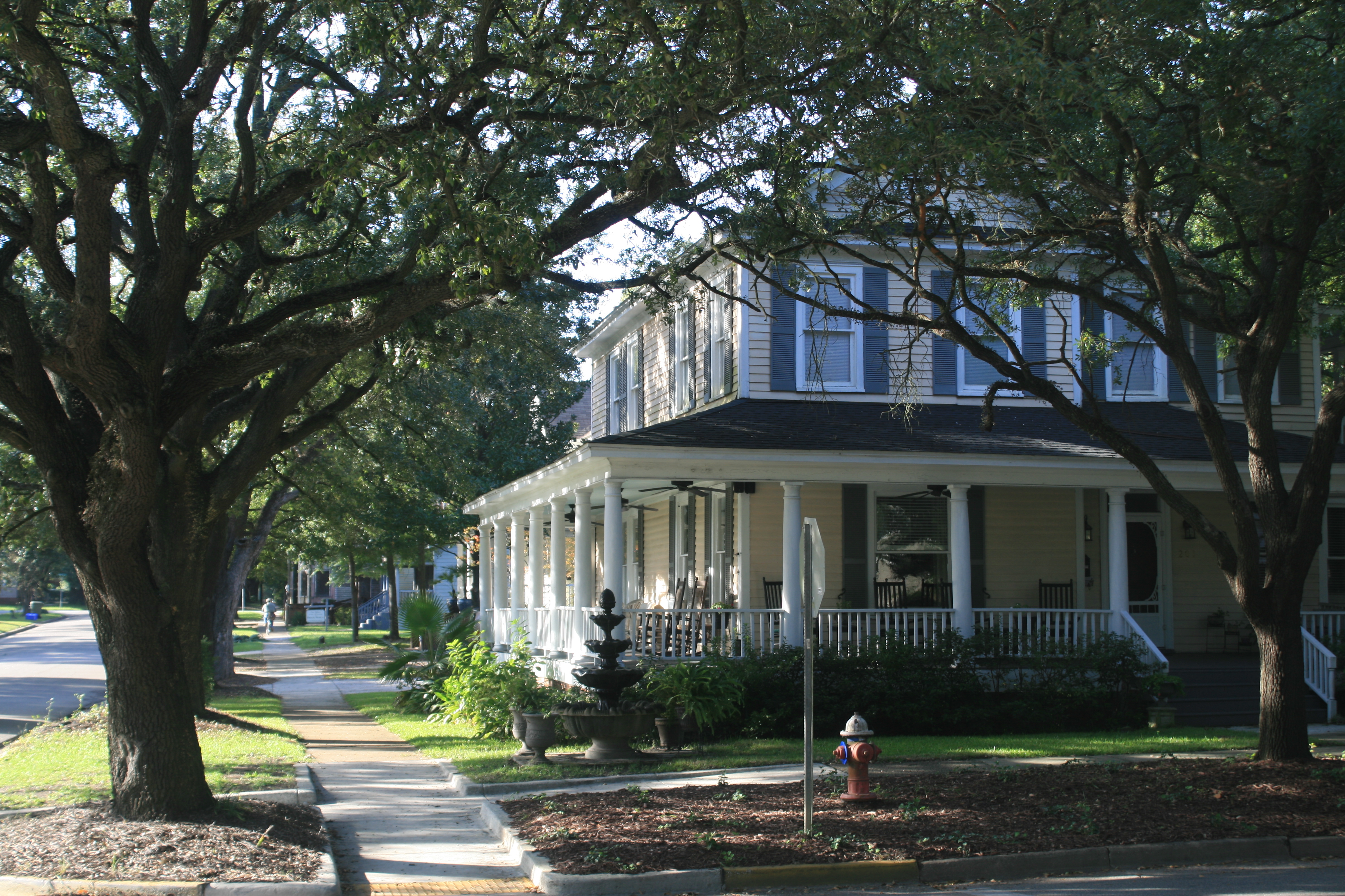
Main St, Columbia
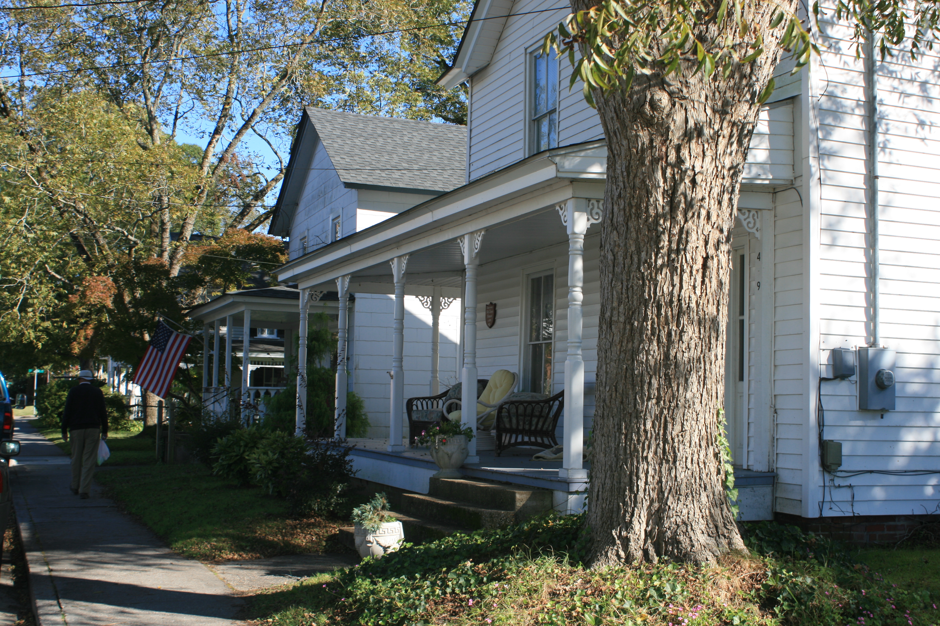
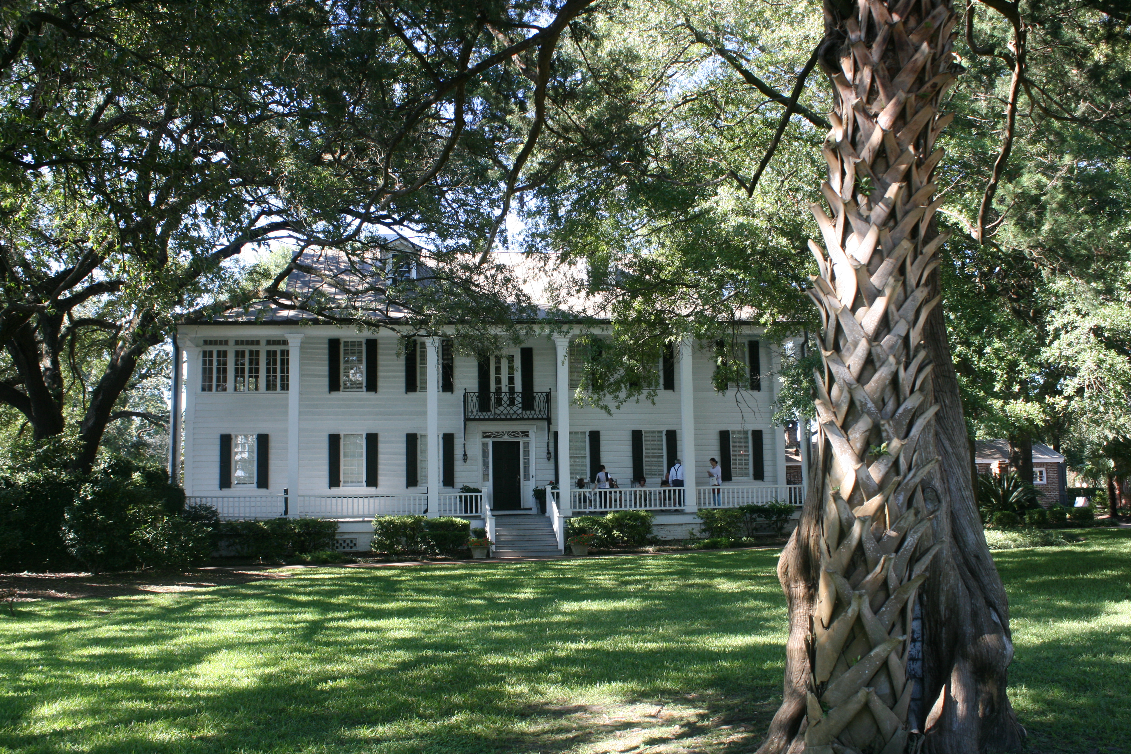
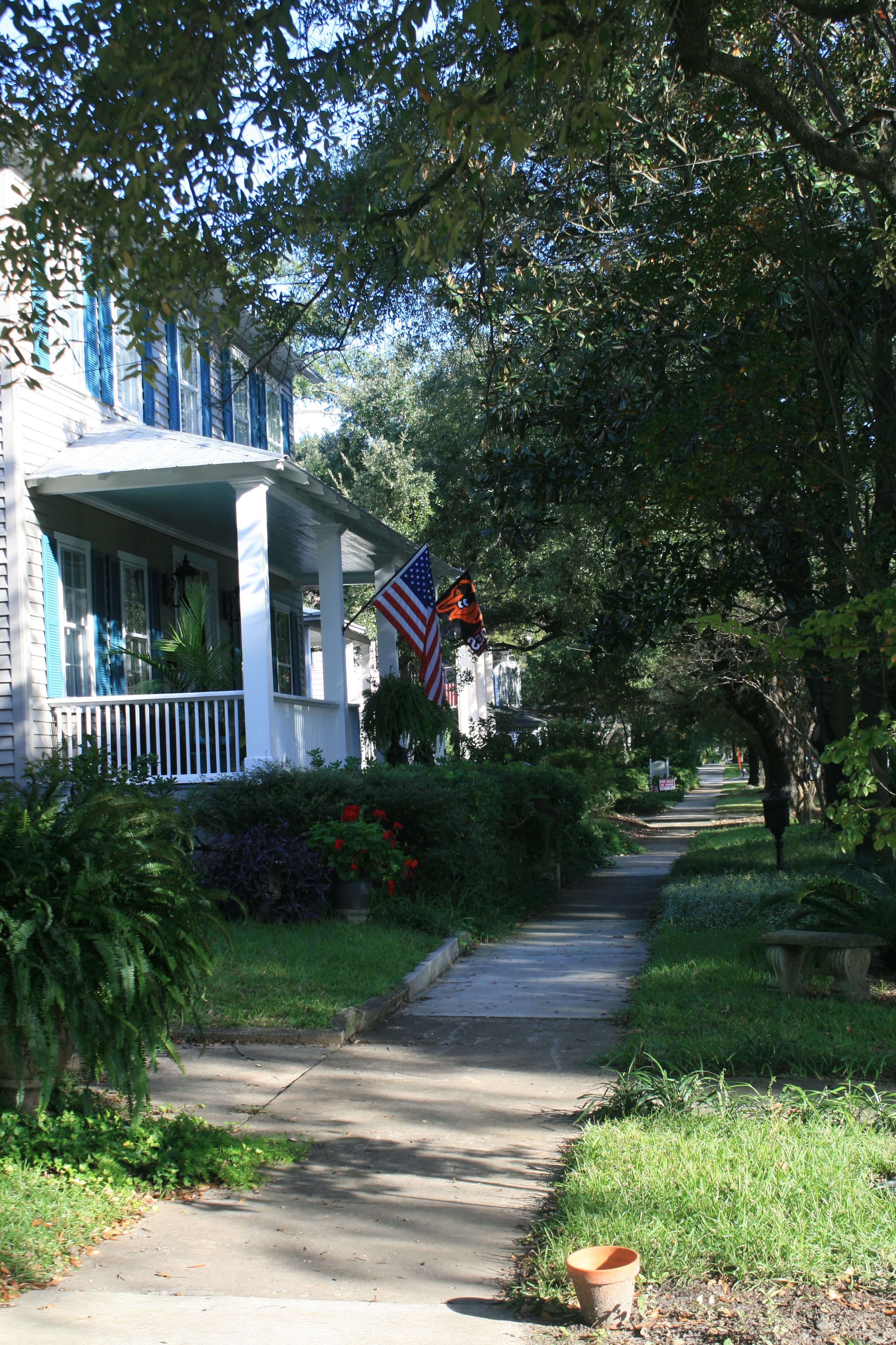
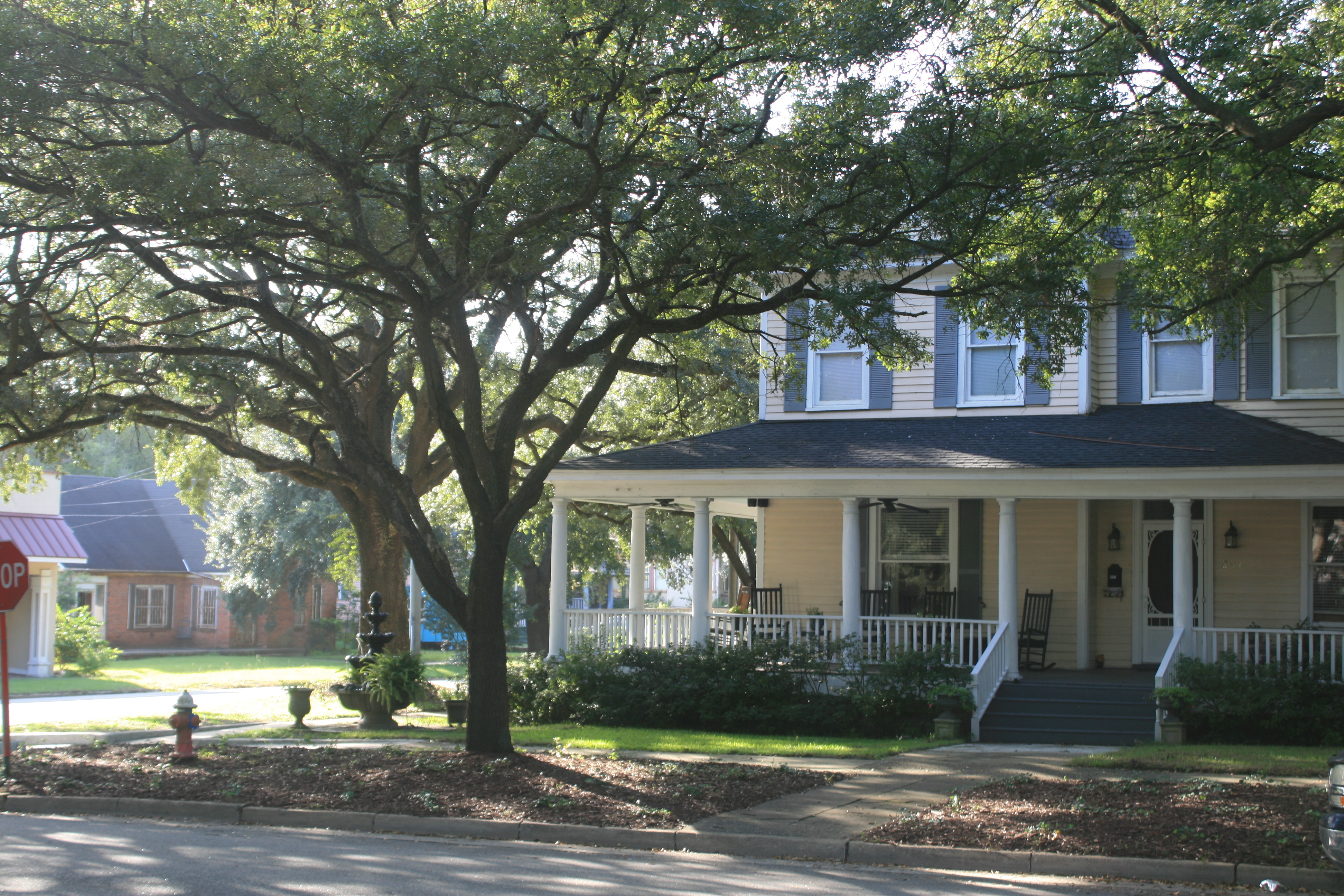
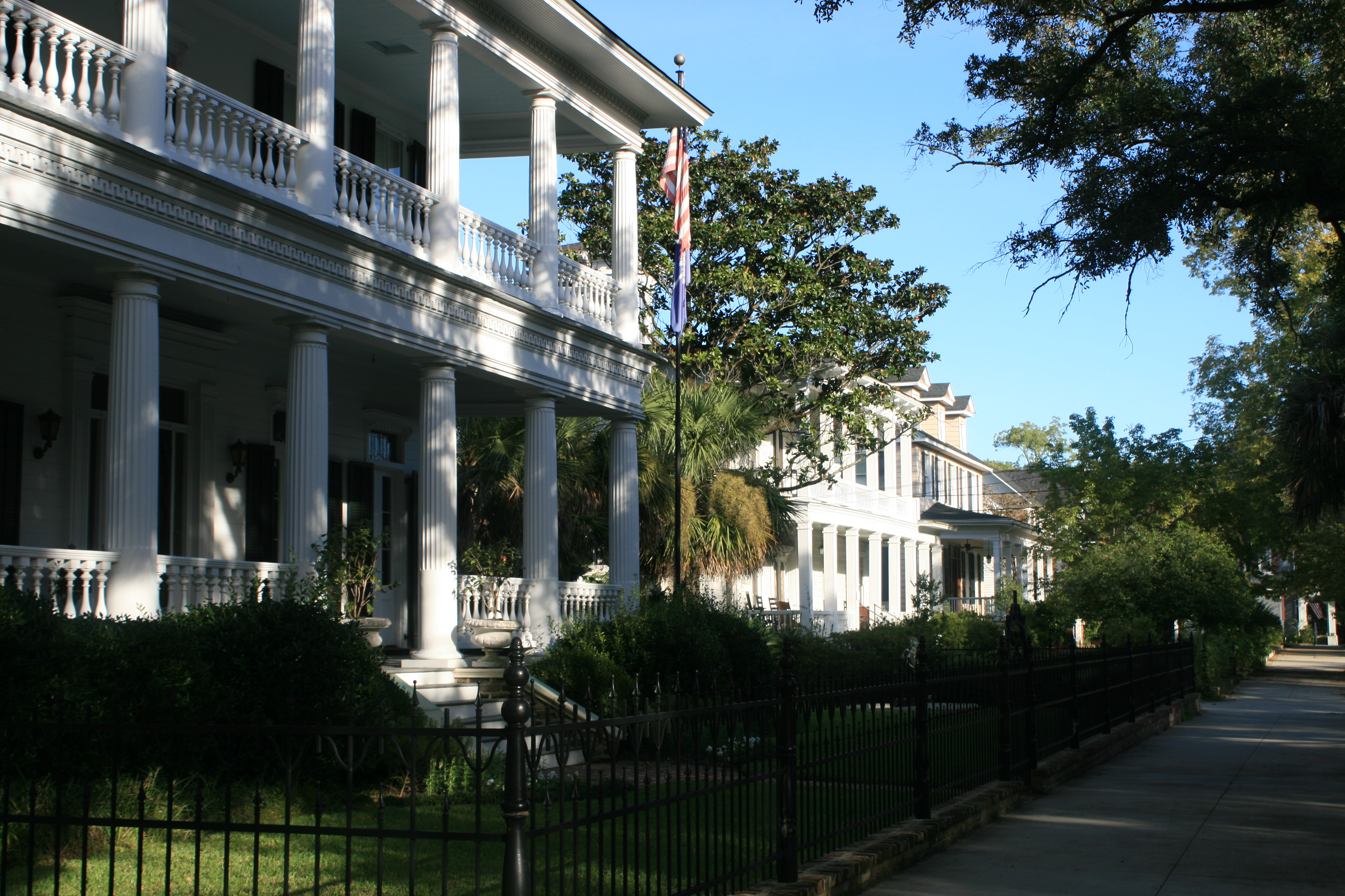
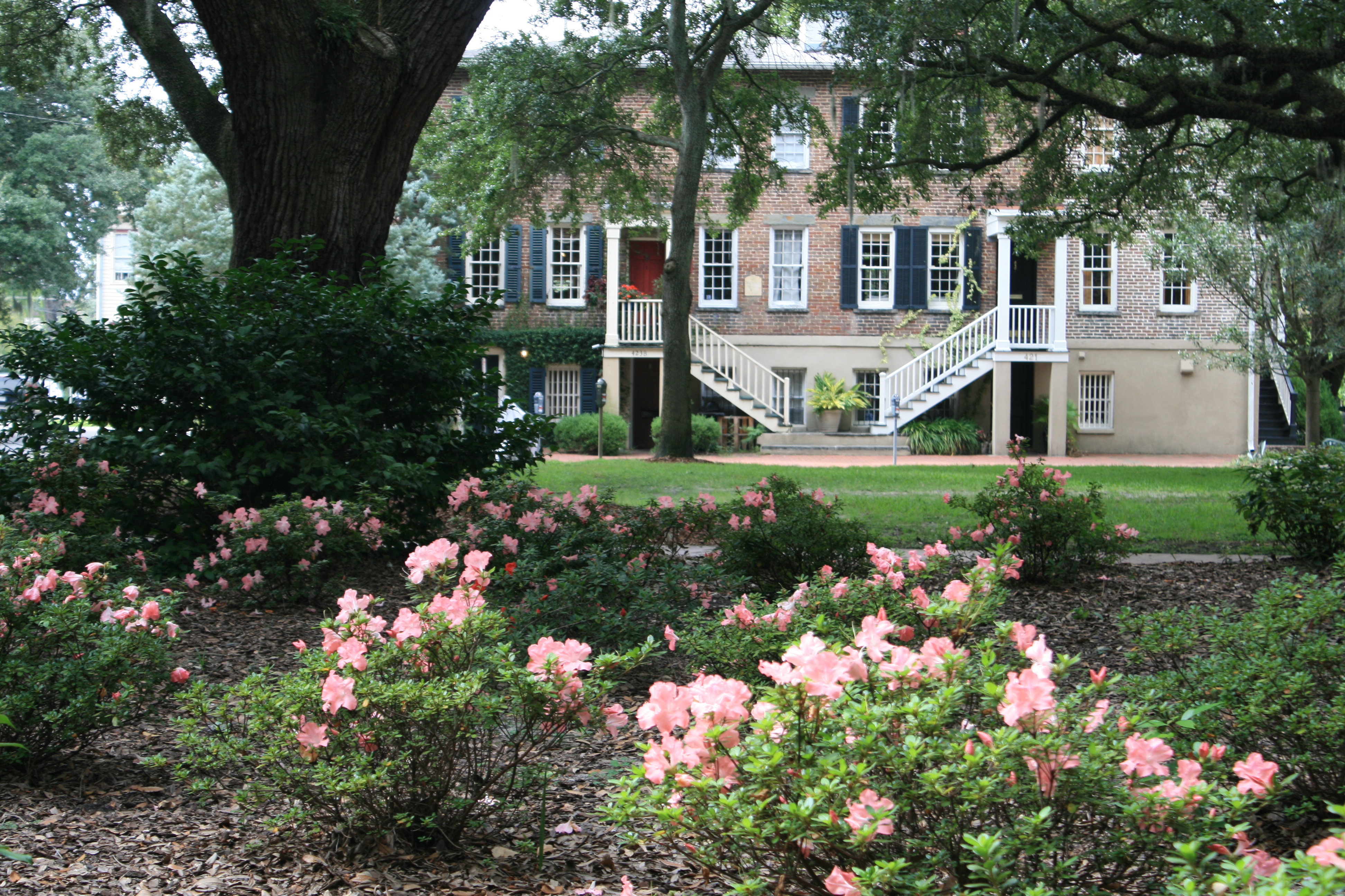
Historic house, Columbia
Our passage to Elizabeth City through Albemarle Sound was smooth enough, and soon we’ll be in Virginia and thinking about home.
But I hope one day I’ll go back to North Carolina and the Outer Banks.
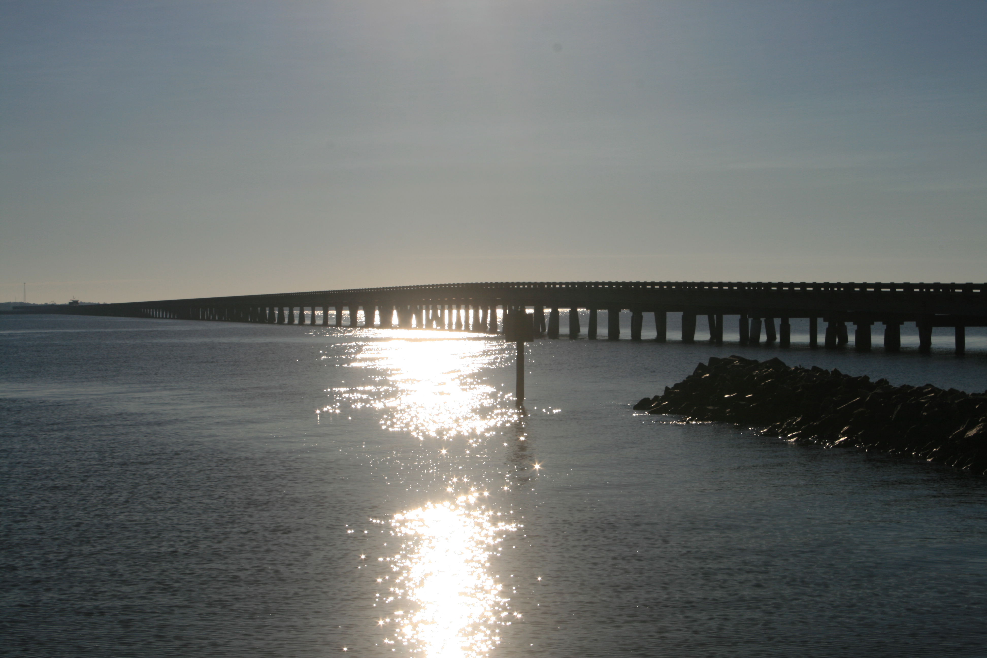
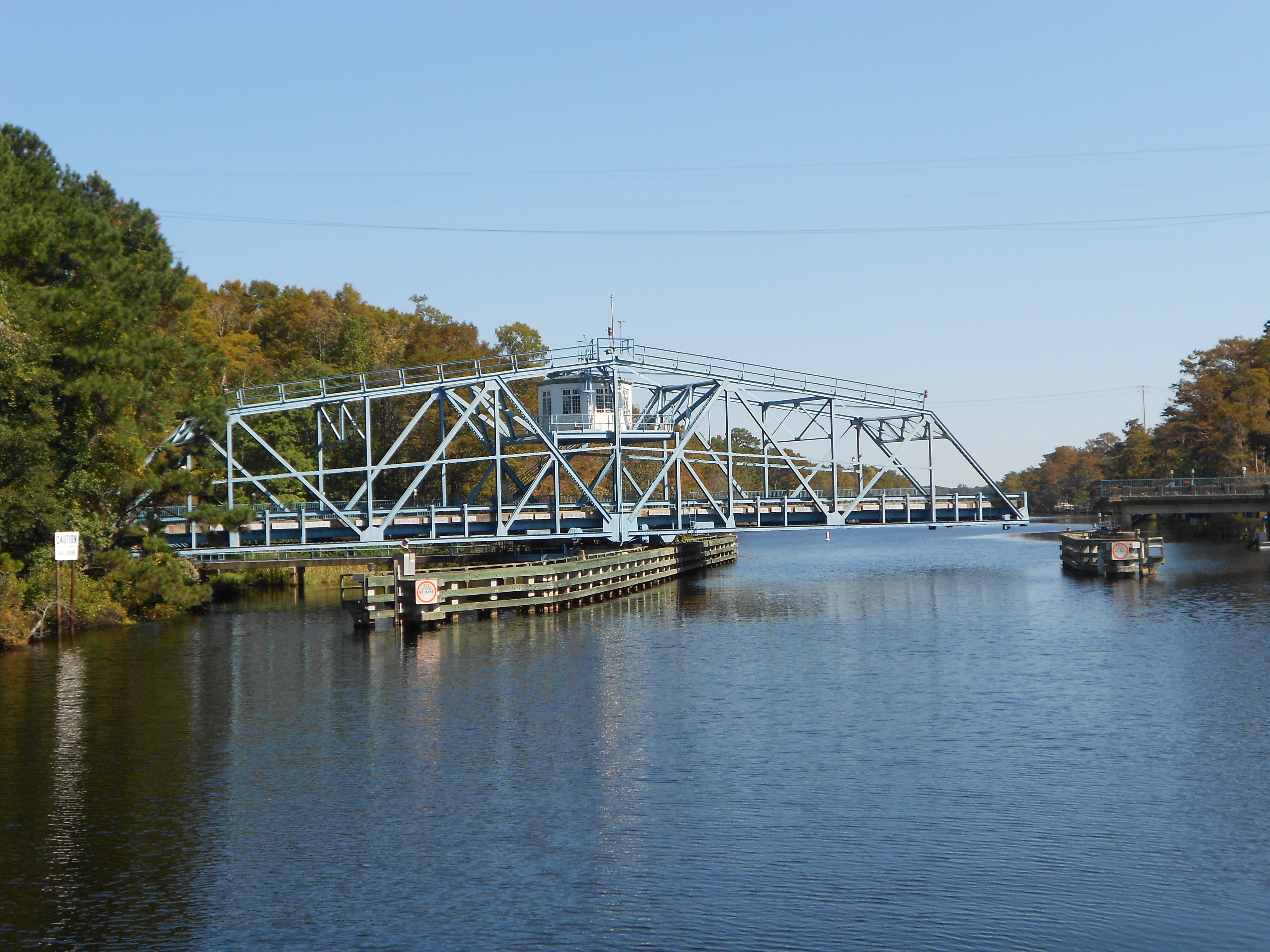
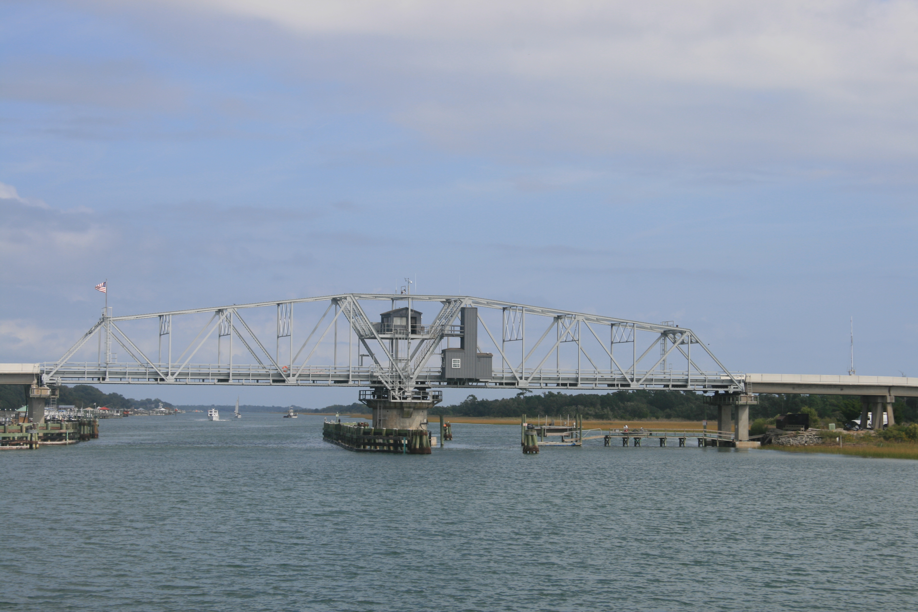
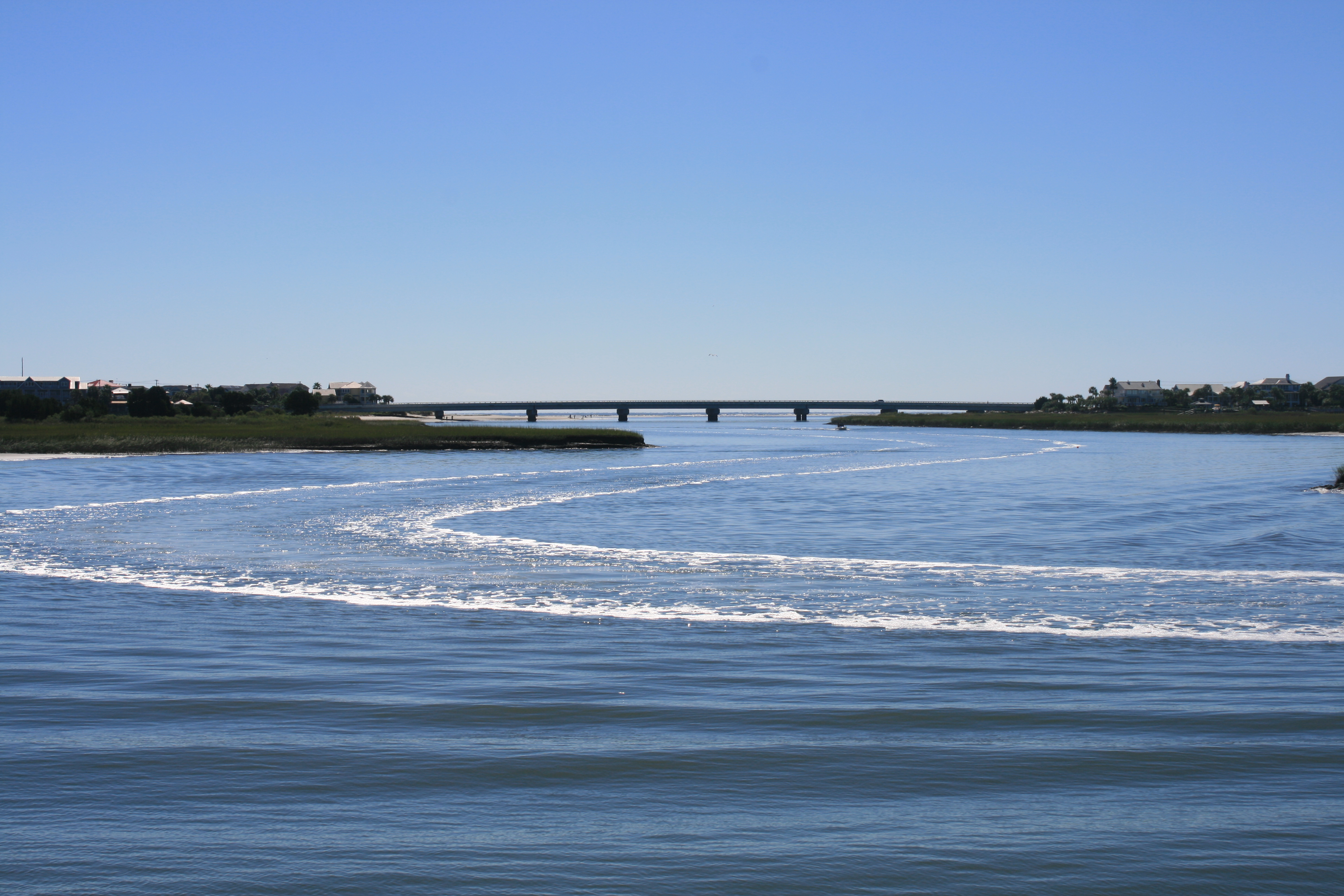
The bridge on US64 to Roanoke Island, from Alligator River