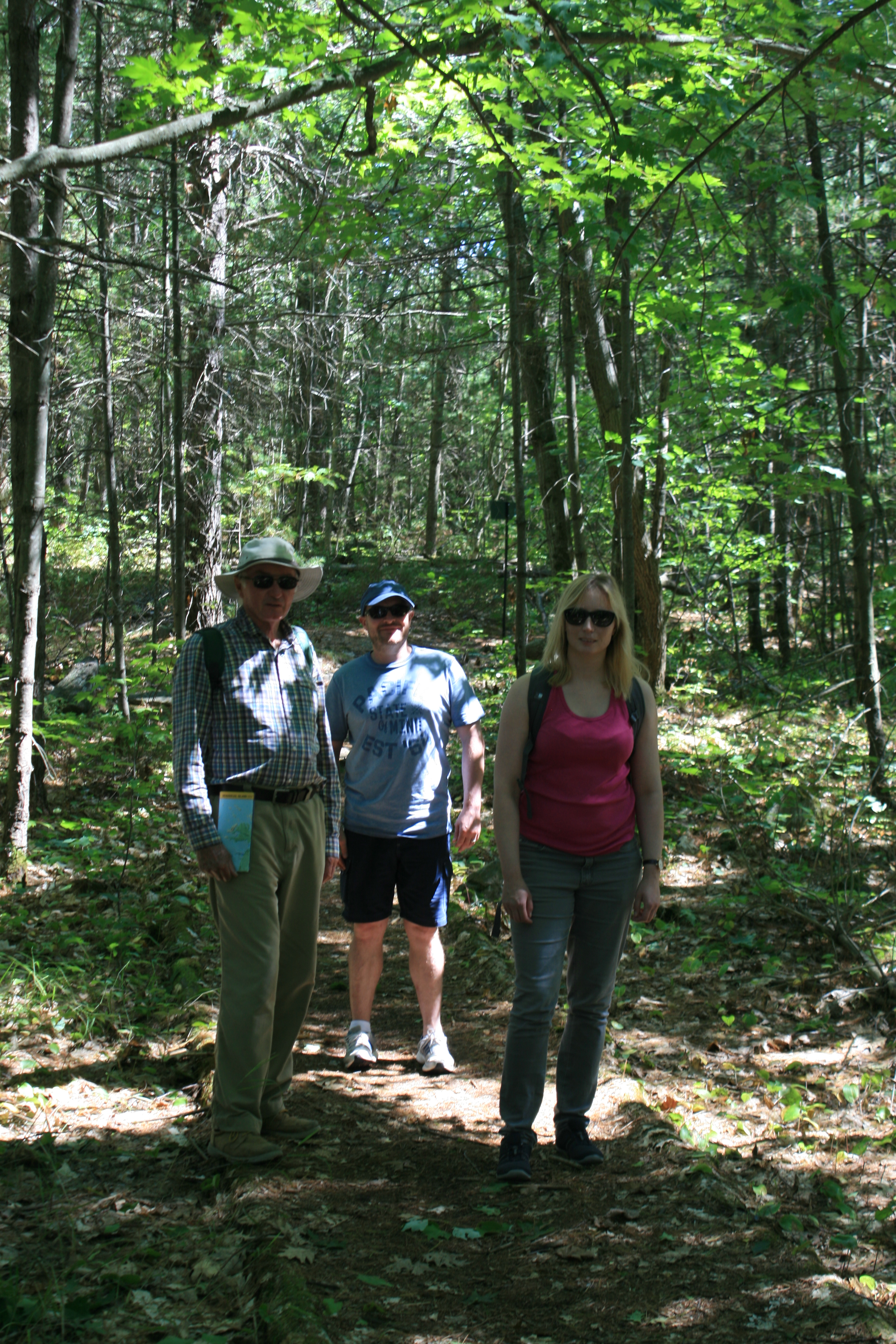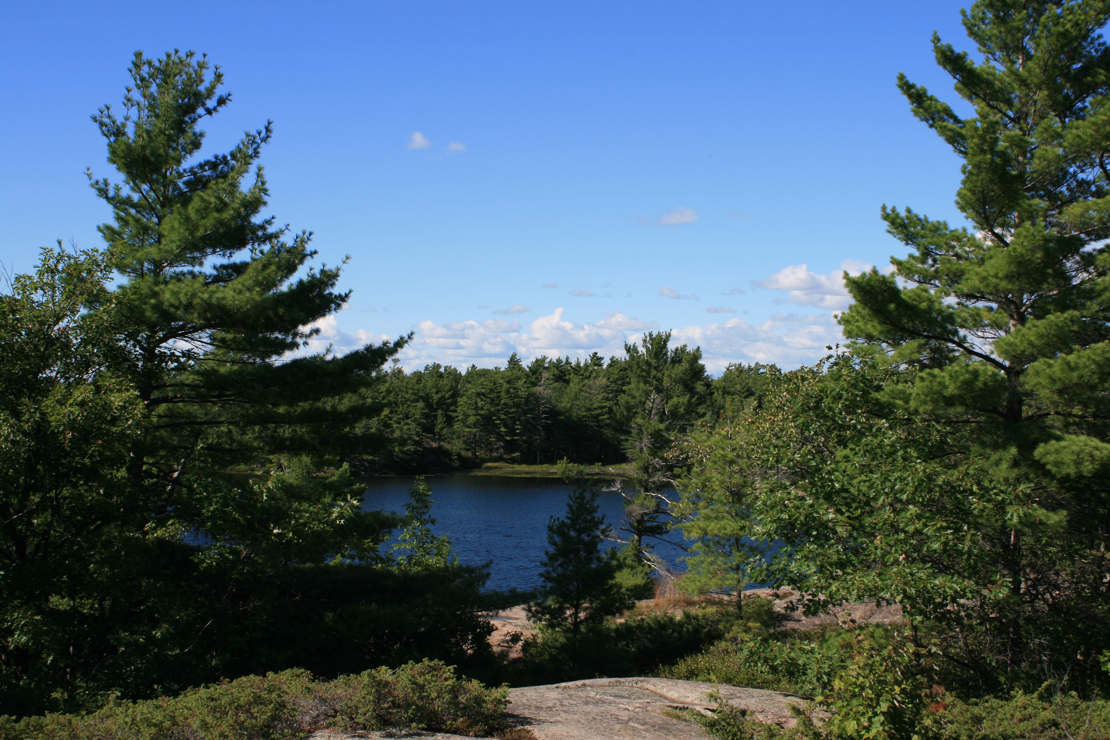
Over the last ten days of the trip we travelled north-west towards Byng Inlet, hugging the shore of Georgian Bay, sometimes passing through narrow rocky channels between the islands, and sometimes through stretches of the open waters of Lake Huron. The country was becoming wilder and more remote with very few towns or marinas, and the weather could change quickly, so we had to be careful about planning the route and finding sheltered places to anchor.
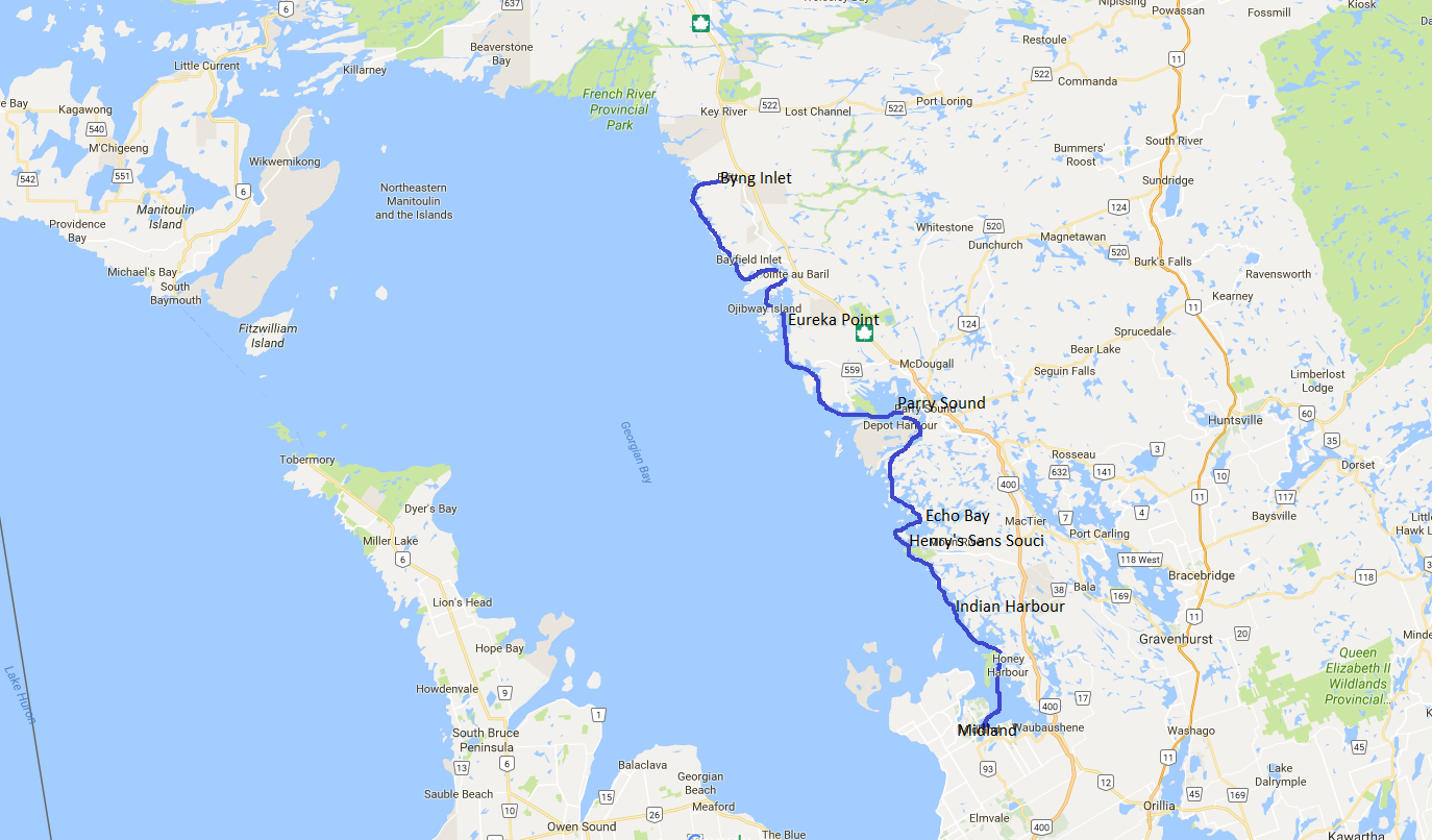
Midland to Byng Inlet
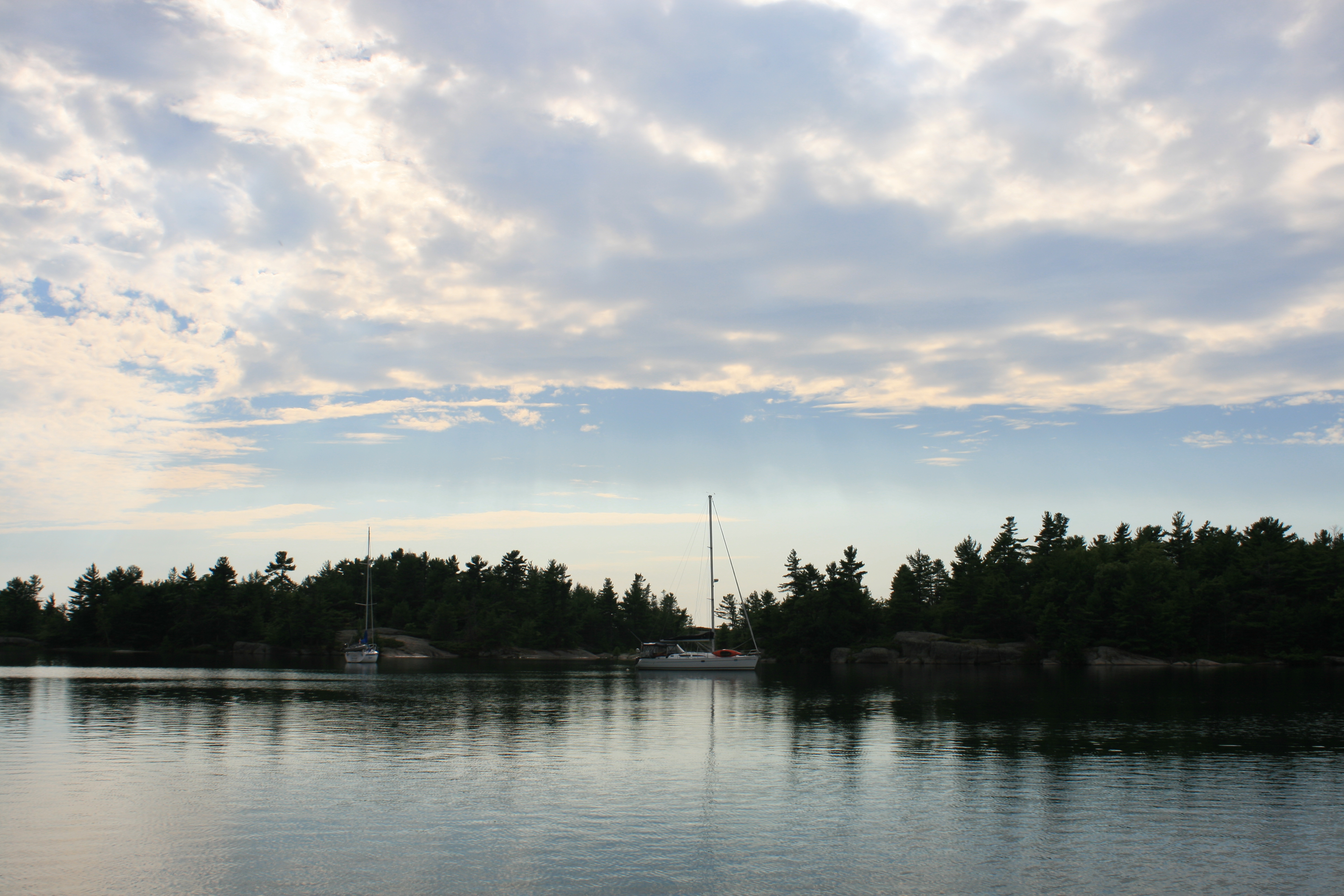
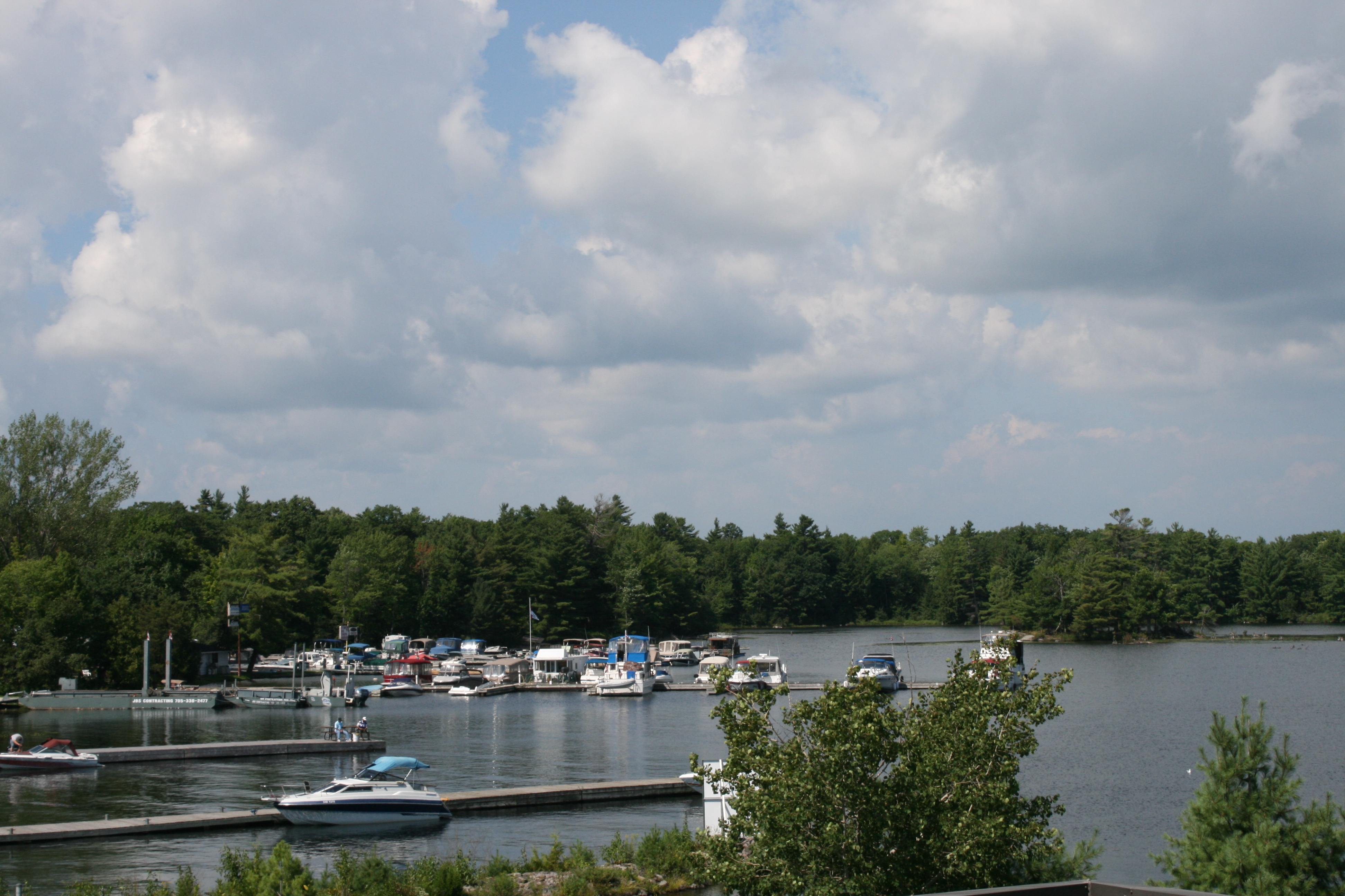
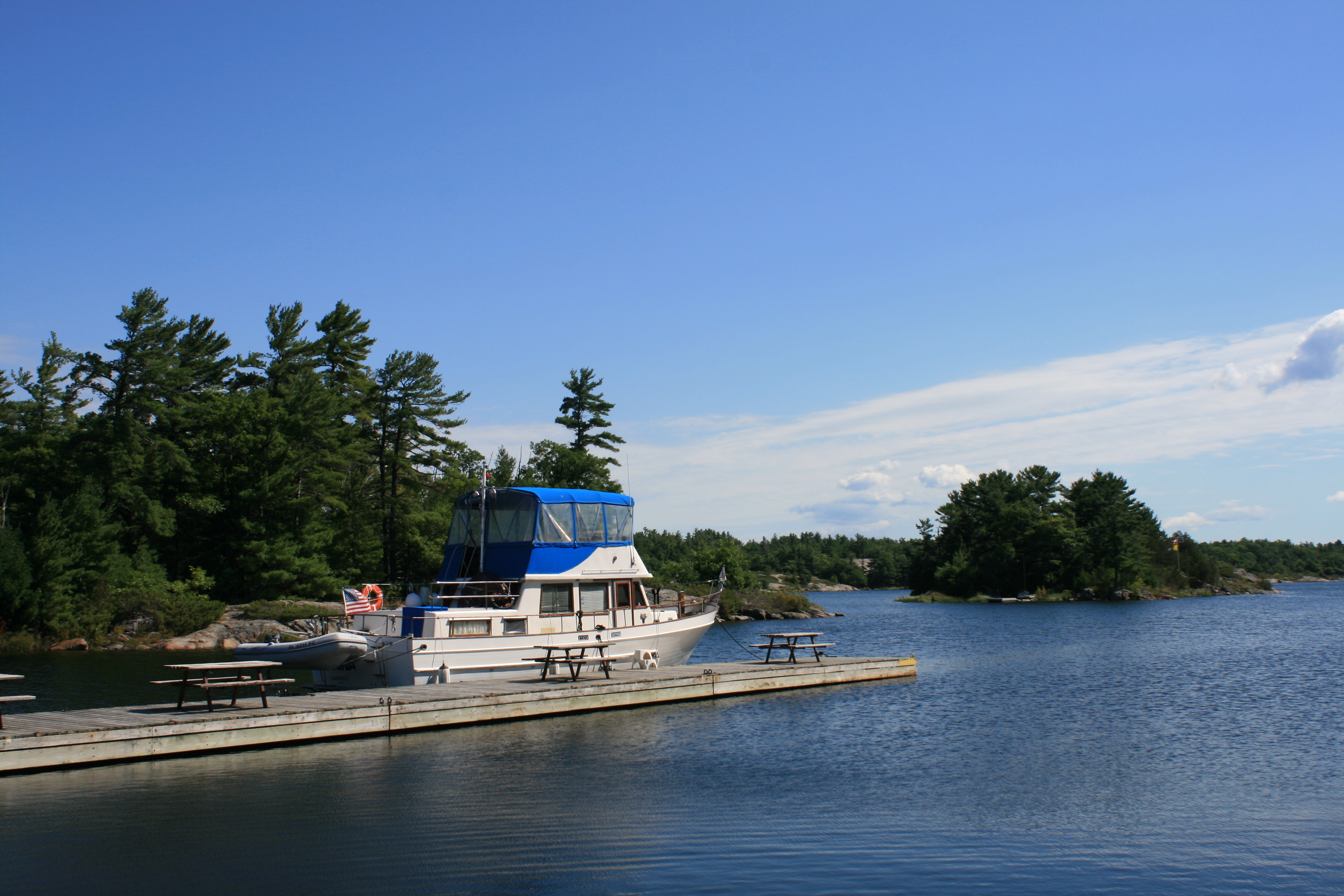
Indian Harbour
Our first night after leaving Midland was a mooring in Indian Harbour.
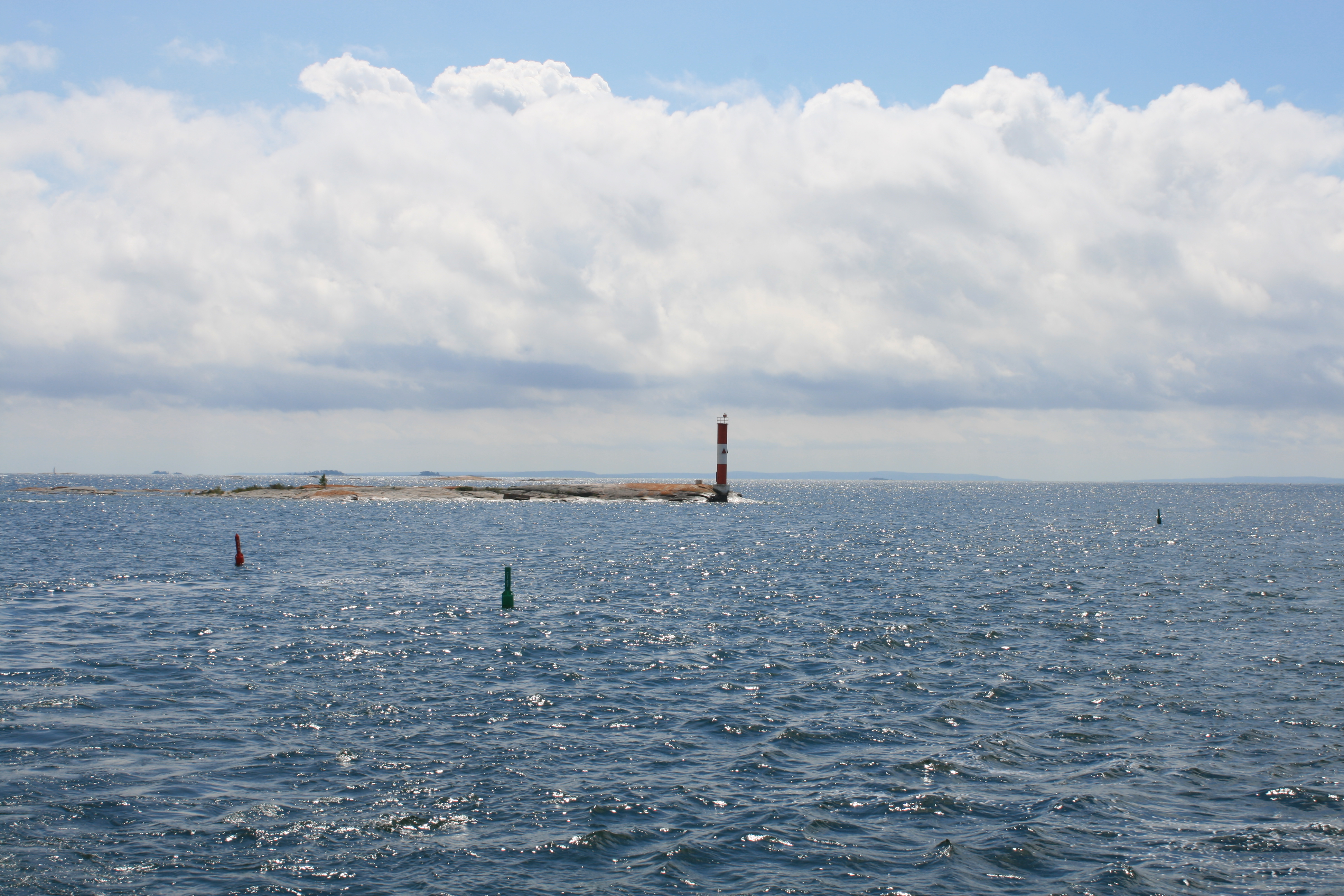
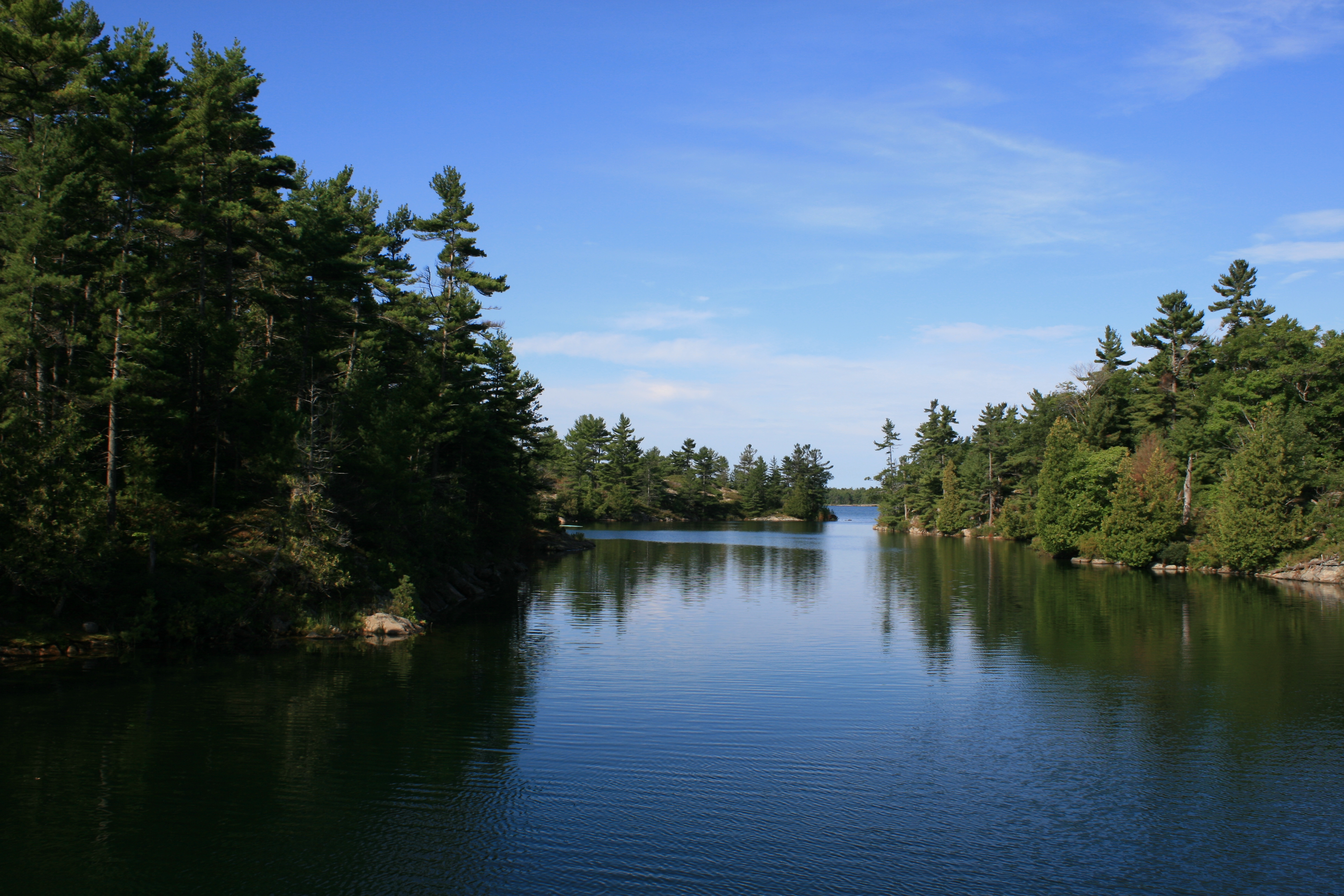
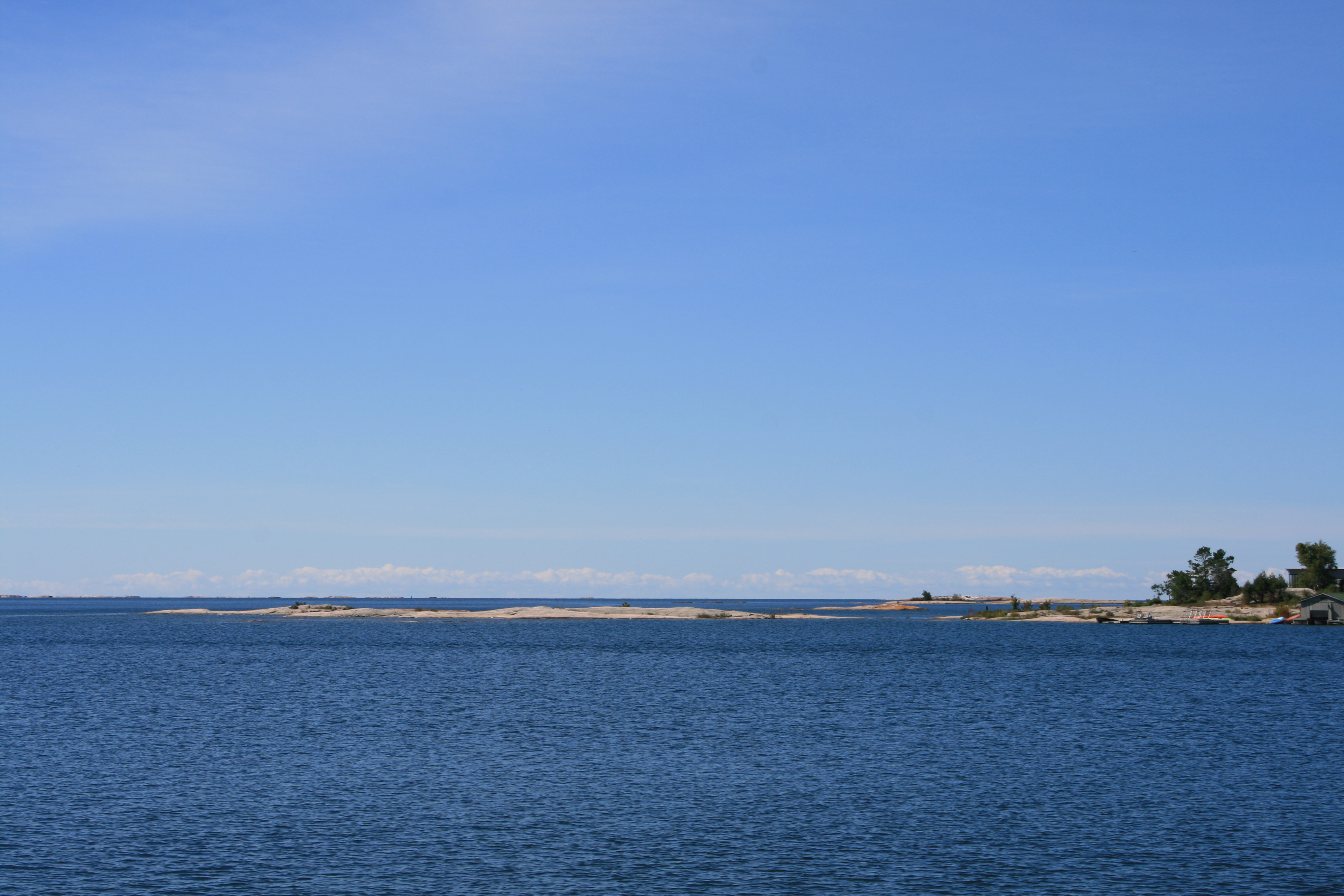
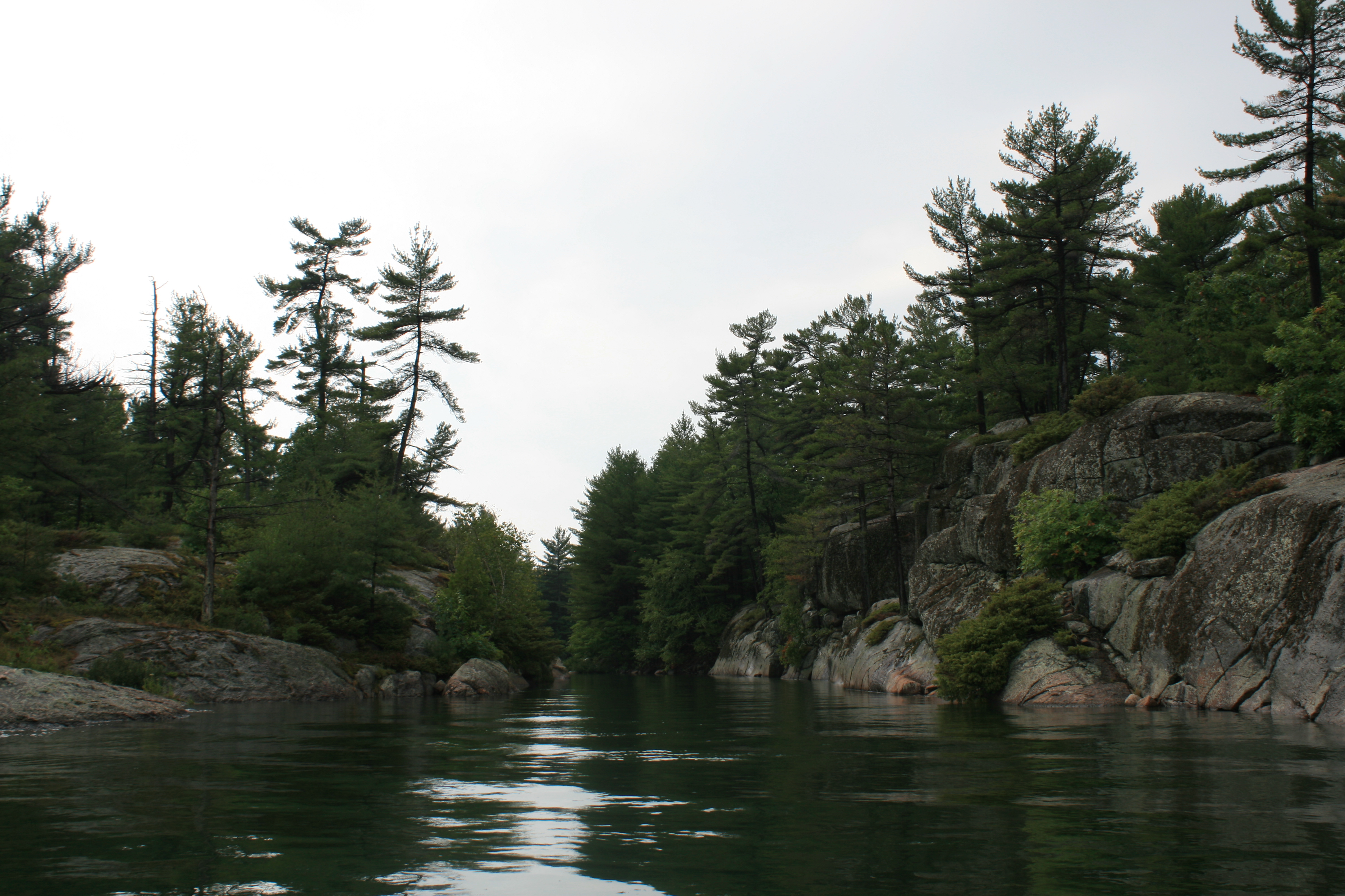
McDonnell Channel
McDonnell Channel, showing the lighthouse and the channel markers.

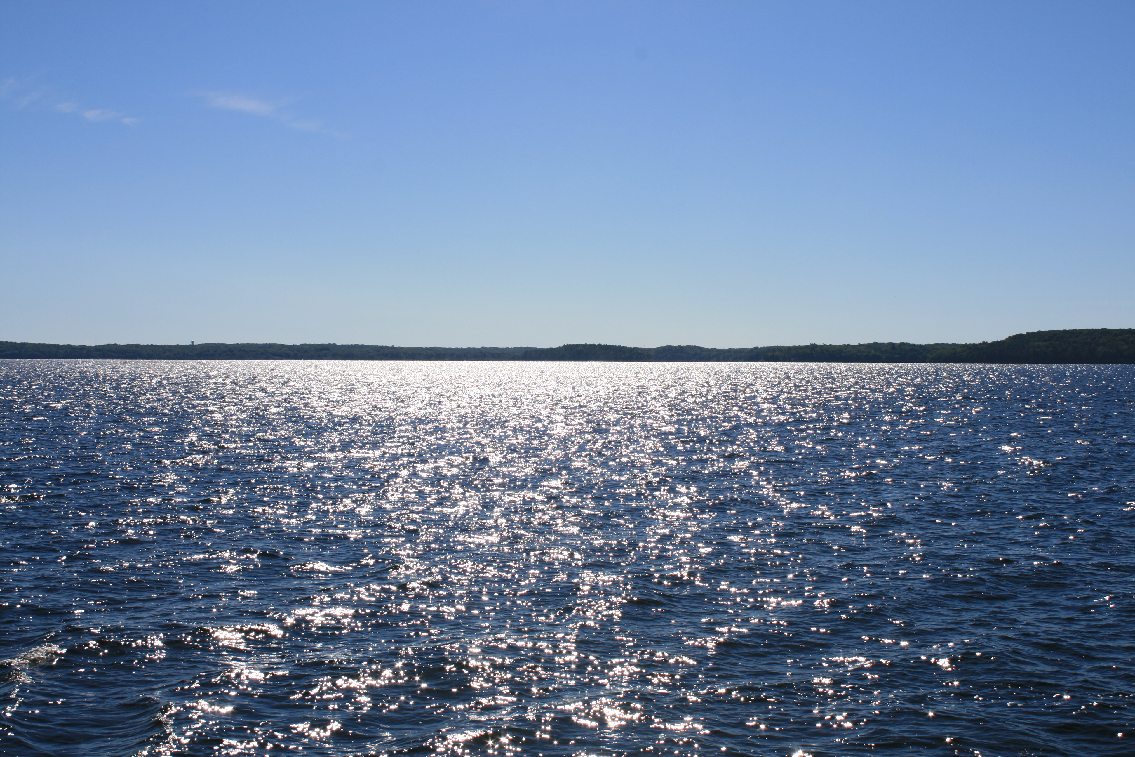
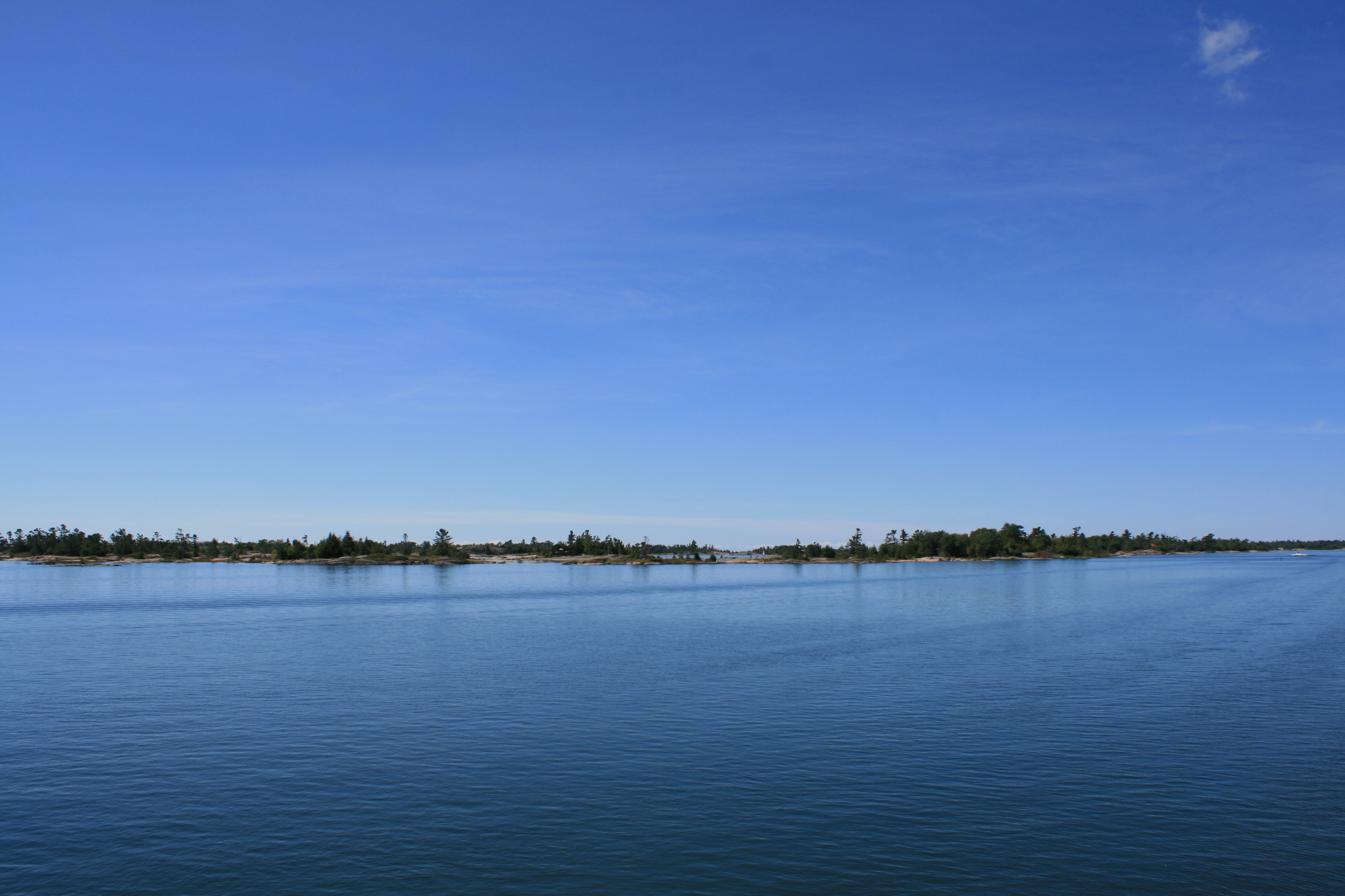
Starvation Bay
At Sans Souci is the famous Henry’s Restaurant on Fryingpan Island, open since 1925 and catering to transient boats and to the occupants of the many small summer homes known as cottages, which line the islands. It seemed to be one of those things that you couldn’t miss, but the anticipation and the ambience was perhaps a little better than the food itself. There were a few miles of open water which we had to cross just as the wind strength and wave height increased, but it wasn’t enough to spoil our appetites. We were welcomed by marina staff who helped us tie up. Everyone else had come by plane.

Henry’s. Sans Souci
At Henry’s, Sans Souci
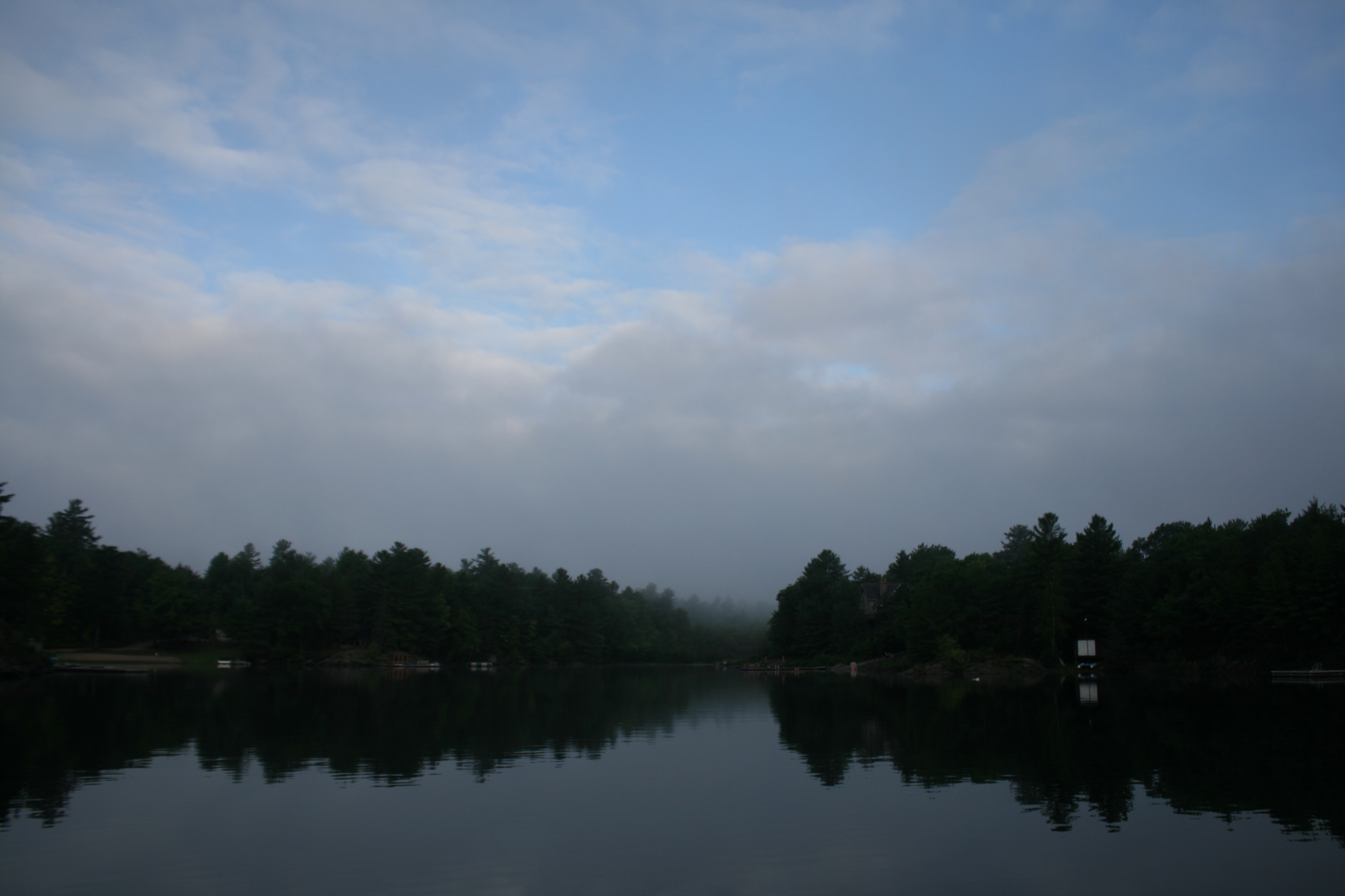
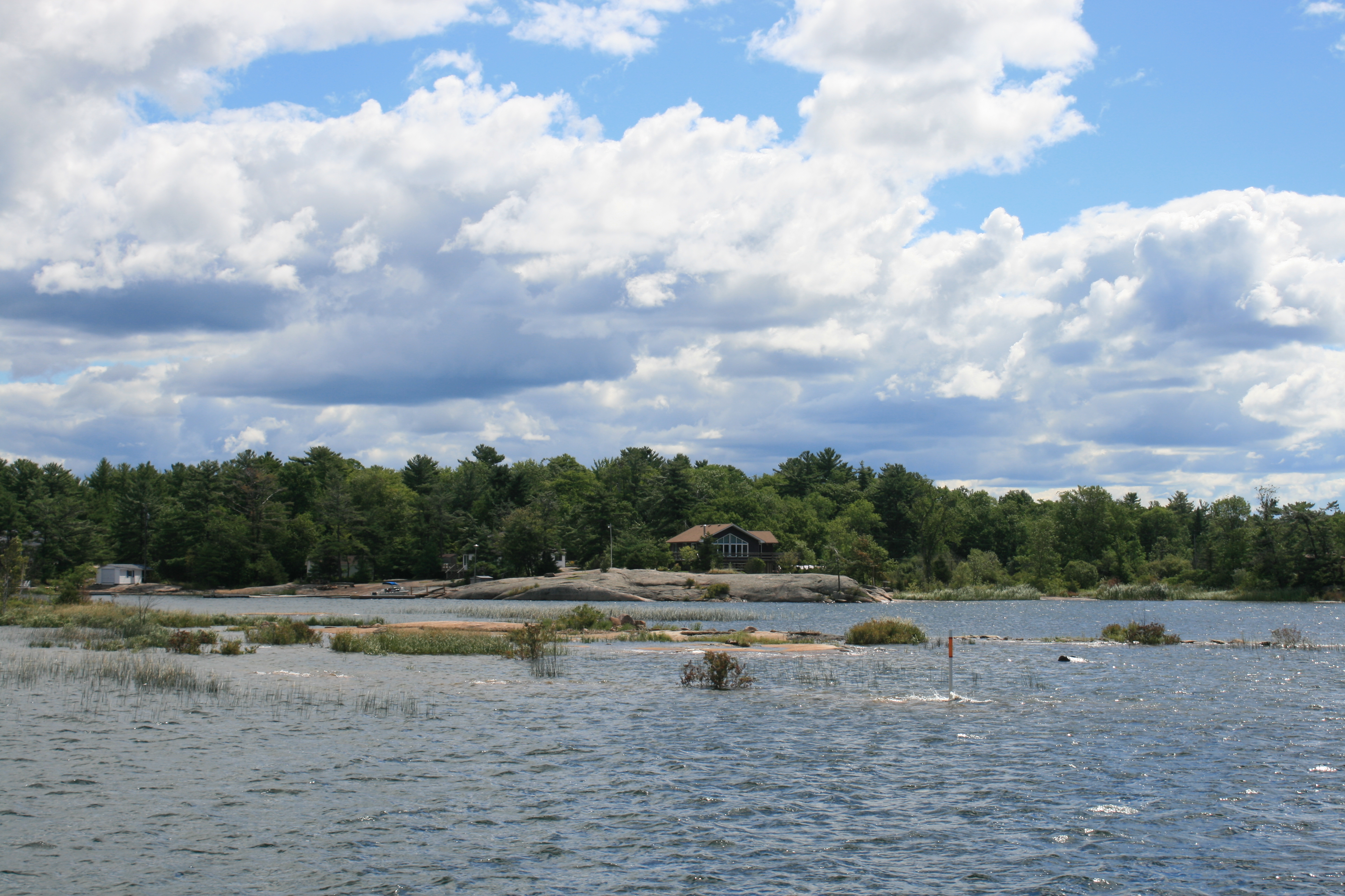
Our destination that night was another anchorage, at Echo Bay. When we got there, several boats had already established themselves and another was turning round, presumably having decided there was no space available. The Captain decided to try North Echo Bay instead, less popular because it involved negotiating an extremely narrow channel, with a rocky platform just under the water at either side. My job was to supplement the depth sounder by standing on the foredeck and alerting the Captain if we seemed to be getting too near the rocks, quite a worrying task as the refraction of light through the water made the rocks appear even closer to us than they really were. But we were rewarded with a night in a beautiful natural harbour, with no other boats or cottages in sight.
Daybreak at North Echo Bay
North Echo Bay
We continued on to Big Sound Marina at Parry Sound, where we stayed for a couple of nights waiting for the weather to settle enough for us to cross the next big stretch of open water. After two days, the sun shone and it was worth waiting for the perfect day to make the trip.
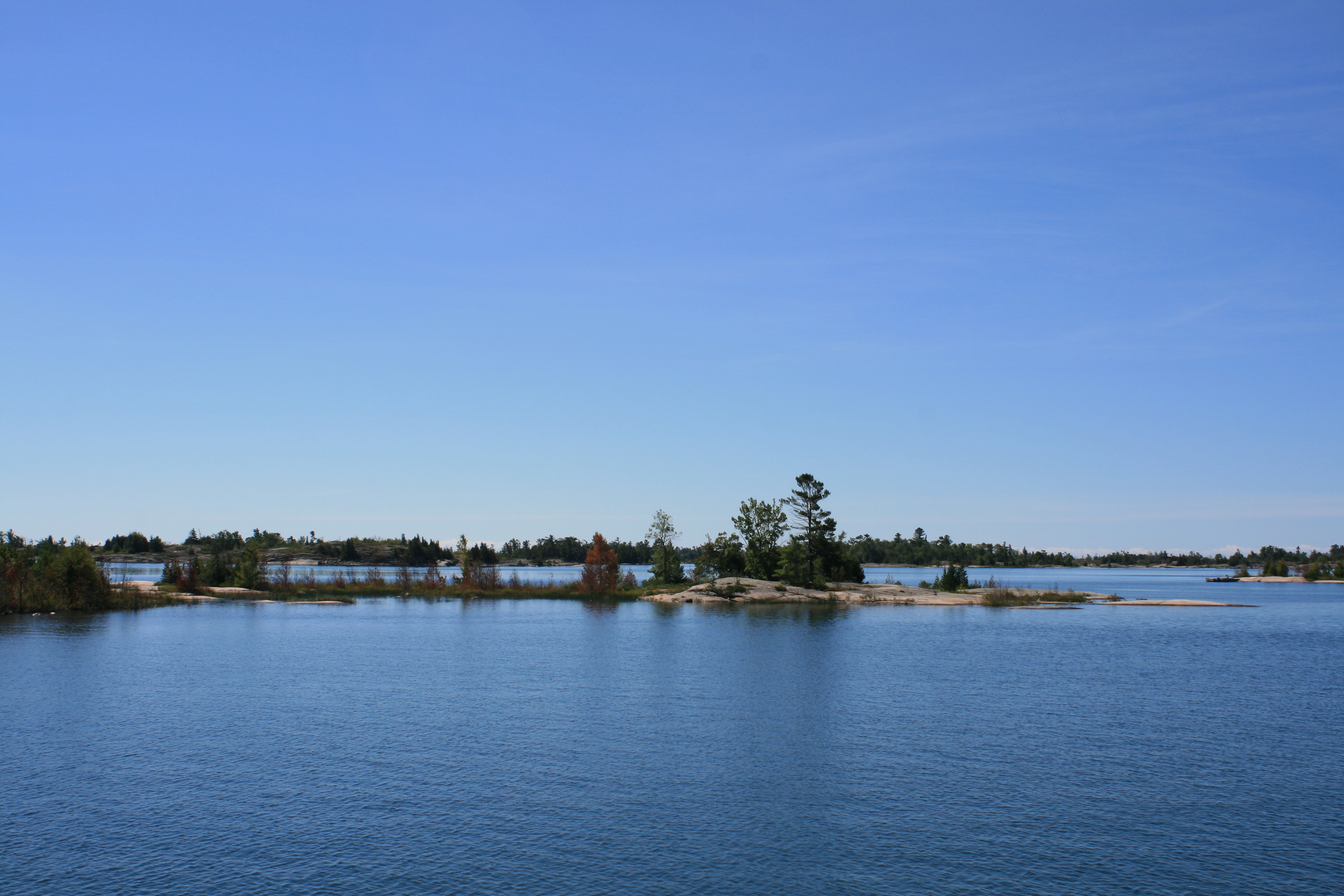
Parry Sound
Snug Harbour
Snug Harbour Lighthouse
Snug Harbour
Shebeshekong Channel
Shebeshekong Channel
Shebeshekong Channel
The weather changed again after we anchored that night near Eureka Point. The next day the thunderstorms materialized just after breakfast and we sat in the cabin watching brilliant flashes of lightning and hearing thunder and heavy rain crashing round us. On a nearby island was the famous Ojibway Club and we had fancied taking the dinghy there for lunch. The storm seemed to have passed, but by the time we had got organised and lowered the dinghy from the back of the boat, the wind had swung round and threatening clouds were clearly heading our way. We decided to have lunch on the boat and perhaps venture out for afternoon tea instead. As the rain once again poured down, we congratulated ourselves on a sensible decision. The sky had cleared a little by 3 o’clock, so we set off in the dinghy for Ojibway Island. The route involved locating a very narrow channel between the rocks, and our second attempt was successful.
Entrance to the channel
We did eventually find the Ojibway Club though – built as the Ojibway Hotel in 1906, it catered for American and Canadian city dwellers who wanted to sample the outdoor life of their pioneer antecedents. It was taken over as a co-operative by cottage and boat owners in the Pointe au Baril area, and has a restaurant and grocery store which are open to visitors, organised activities for children and social events too. There was a definite end-of-season feel about the place – it was due to shut for the winter the following weekend – but the young man in the restaurant managed to find us some English Breakfast teabags, after we had declined the decaffeinated Orange Pekoe, and various herbal offerings. We also had some Canadian Butter Tarts, which have been described rather unkindly, but accurately, by a fellow blogger as little pecan pies without the pecans.

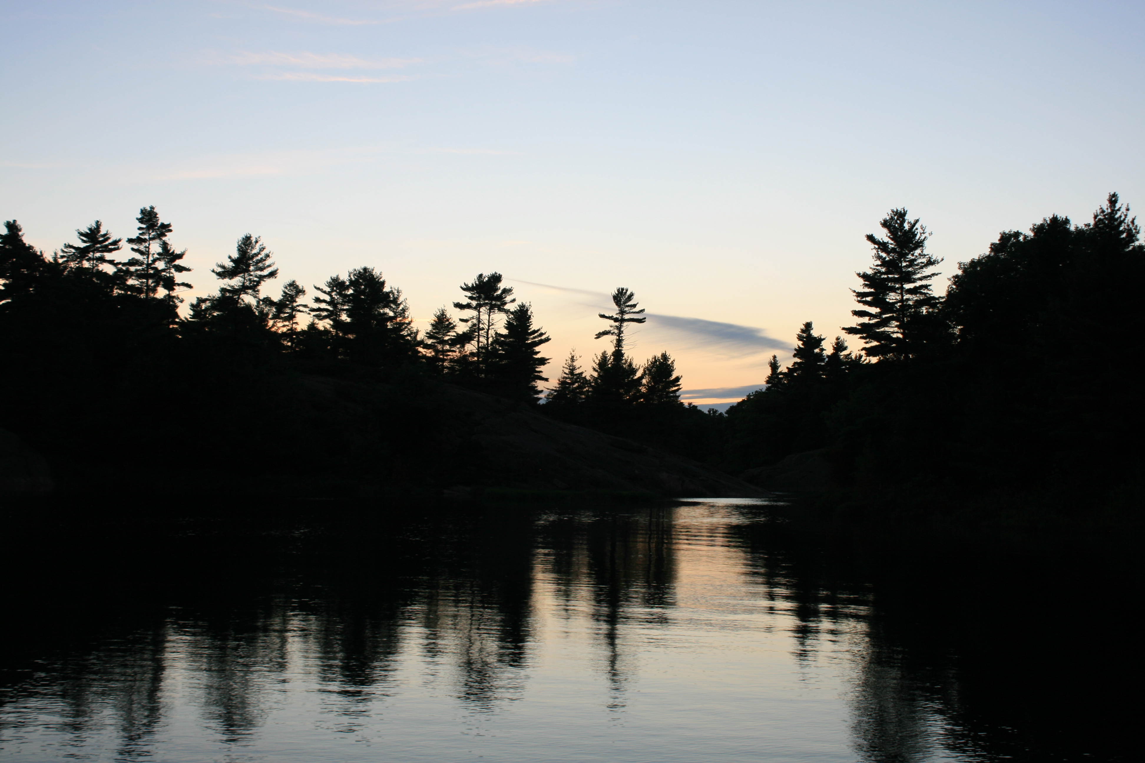
Sunset at Eureka Point

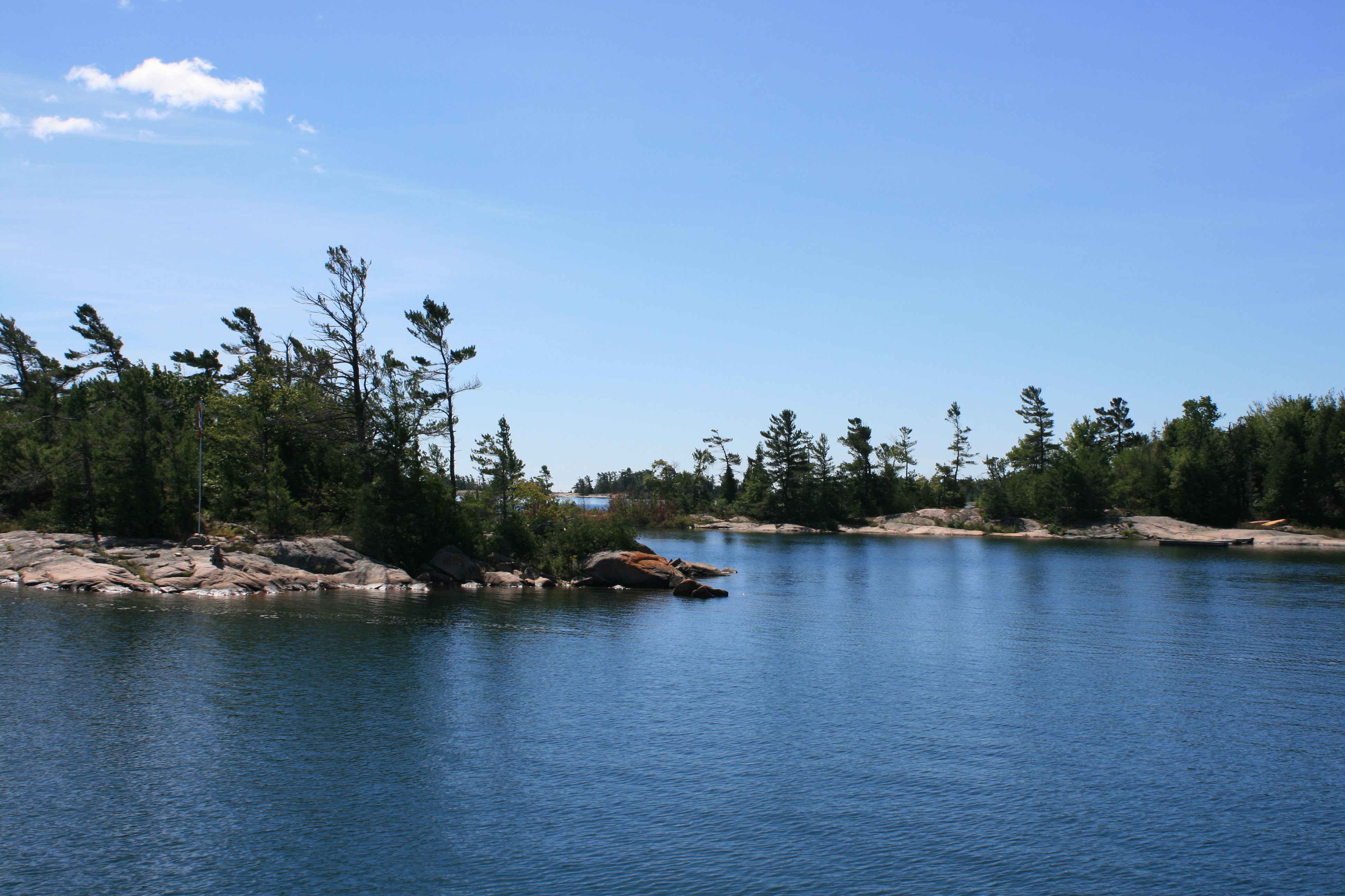
Near the mooring at Eureka Point
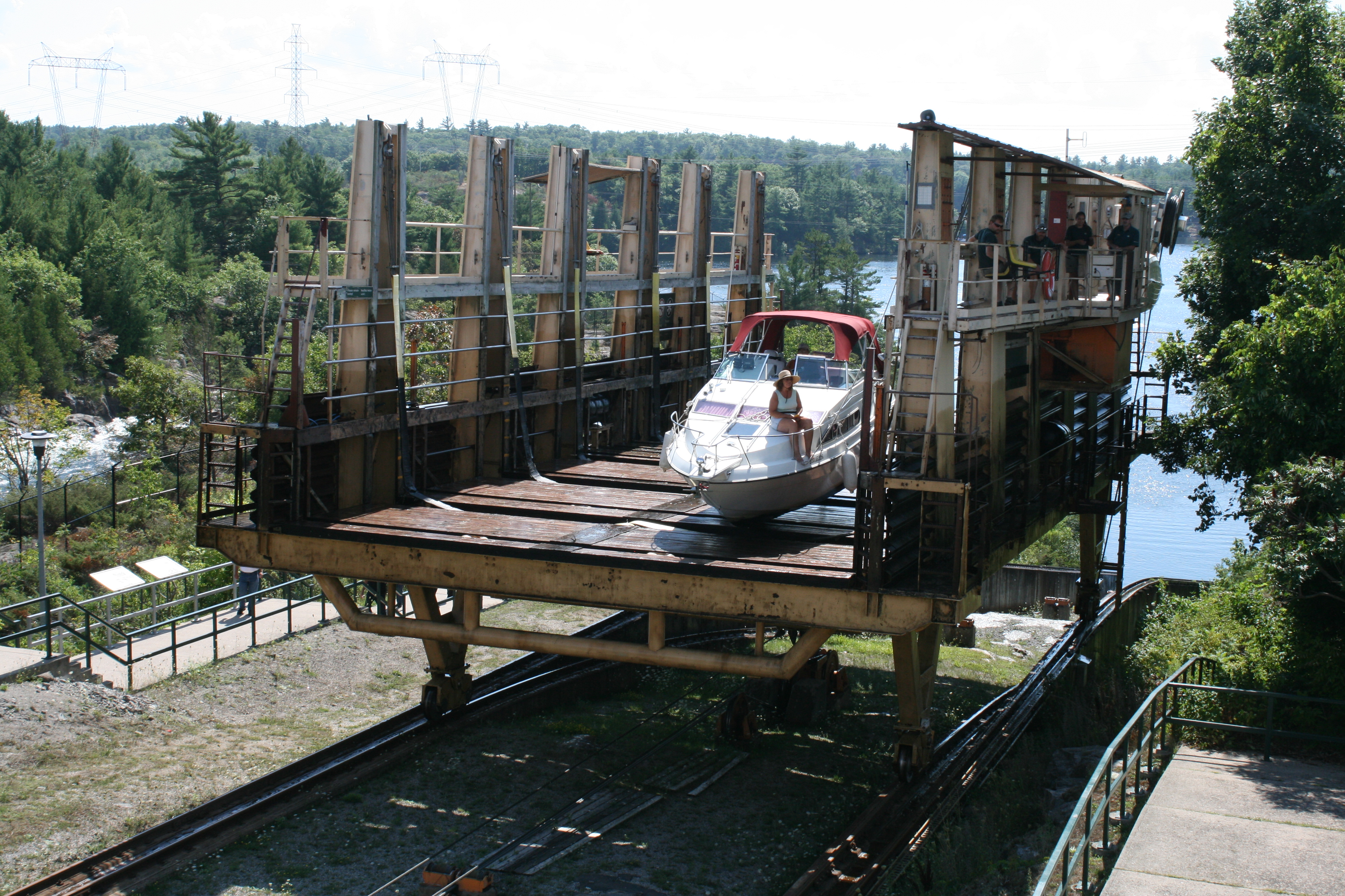
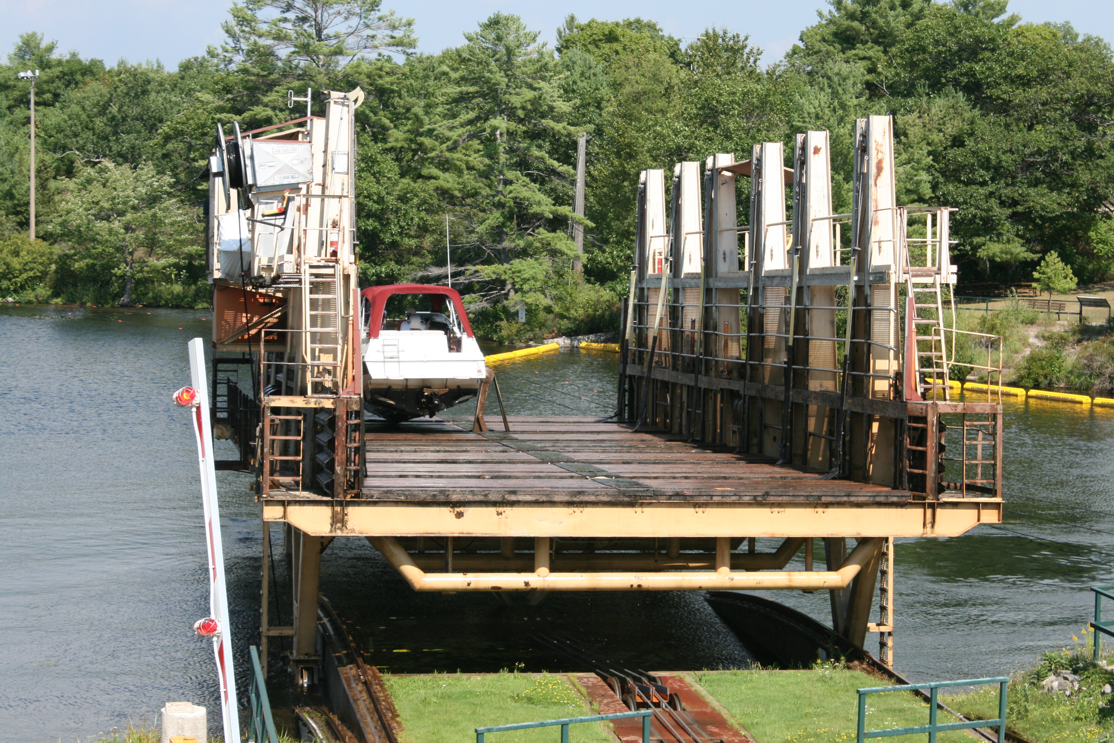
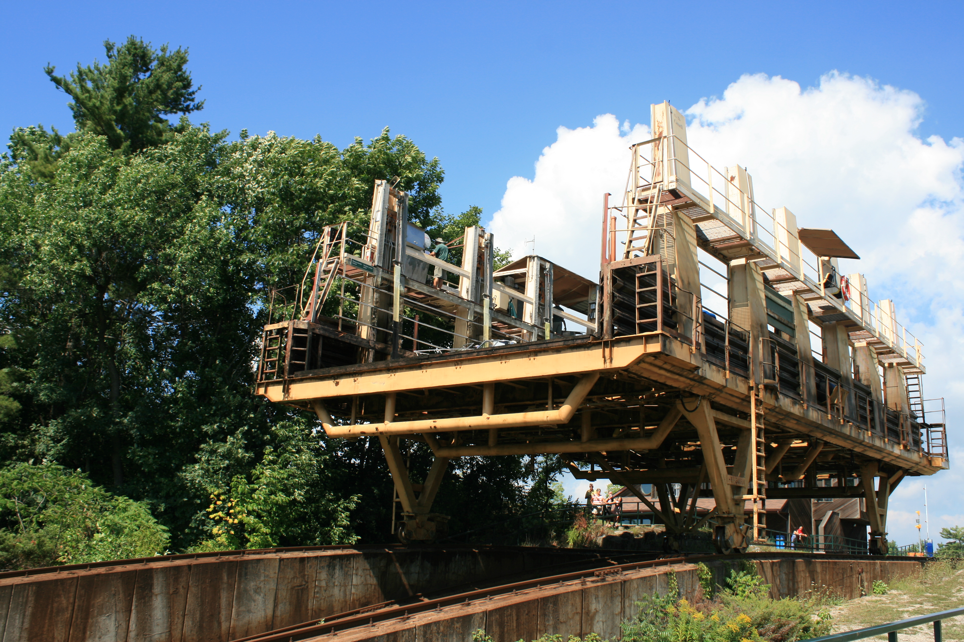
Ian had settled on Wright’s Marina at Byng Inlet as a suitable place for Carina to stay over the winter. The course between there and our mooring at Eureka Point involved a short foray into open water, and then a longer one of about 8 miles, just before Byng Inlet. With the weather becoming increasingly changeable, it was a case of going when the opportunity presented itself. We ended up doing the whole stretch in one go, and arriving at Wright’s with a few days in hand.

Ojibway Club

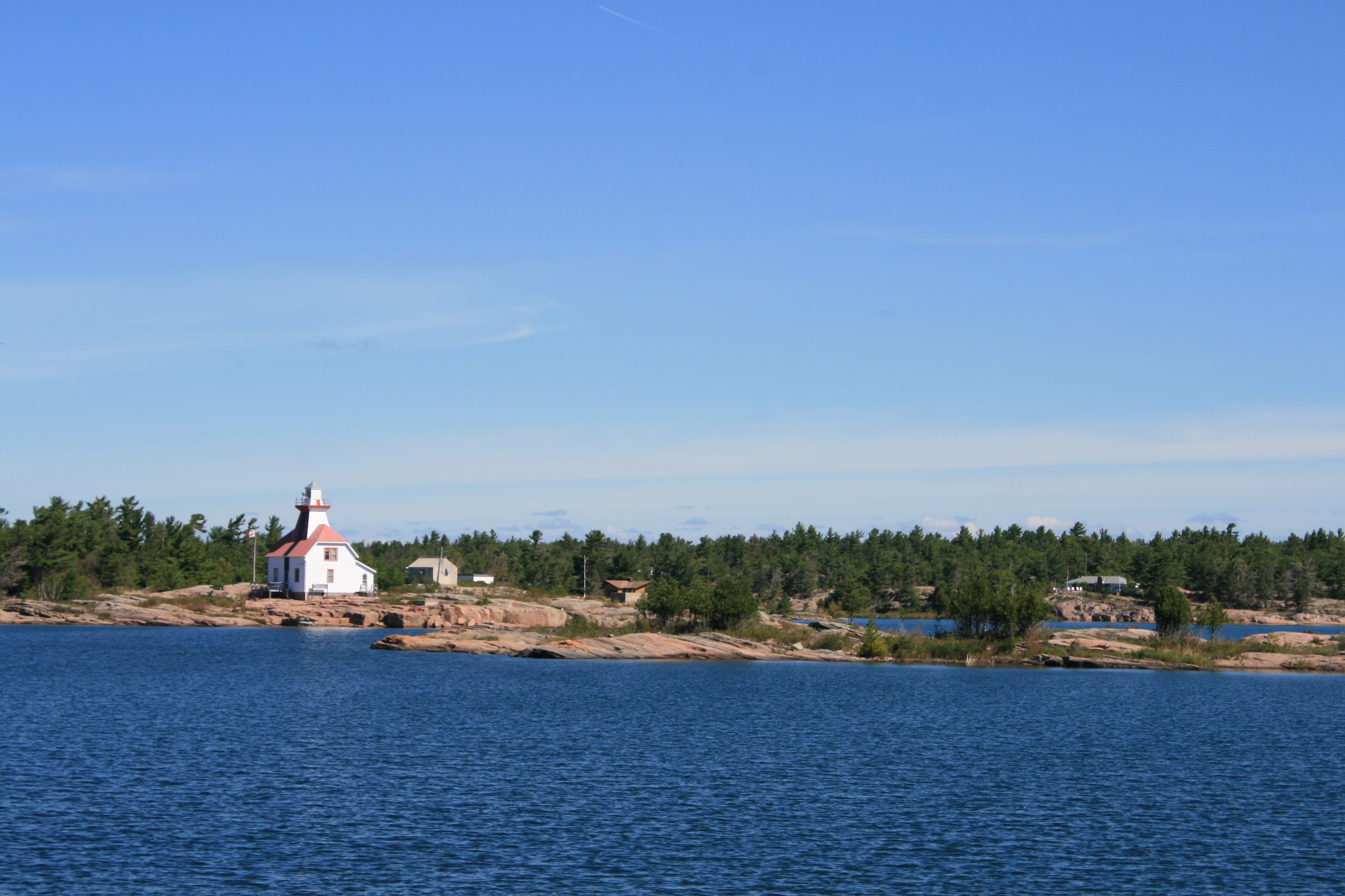
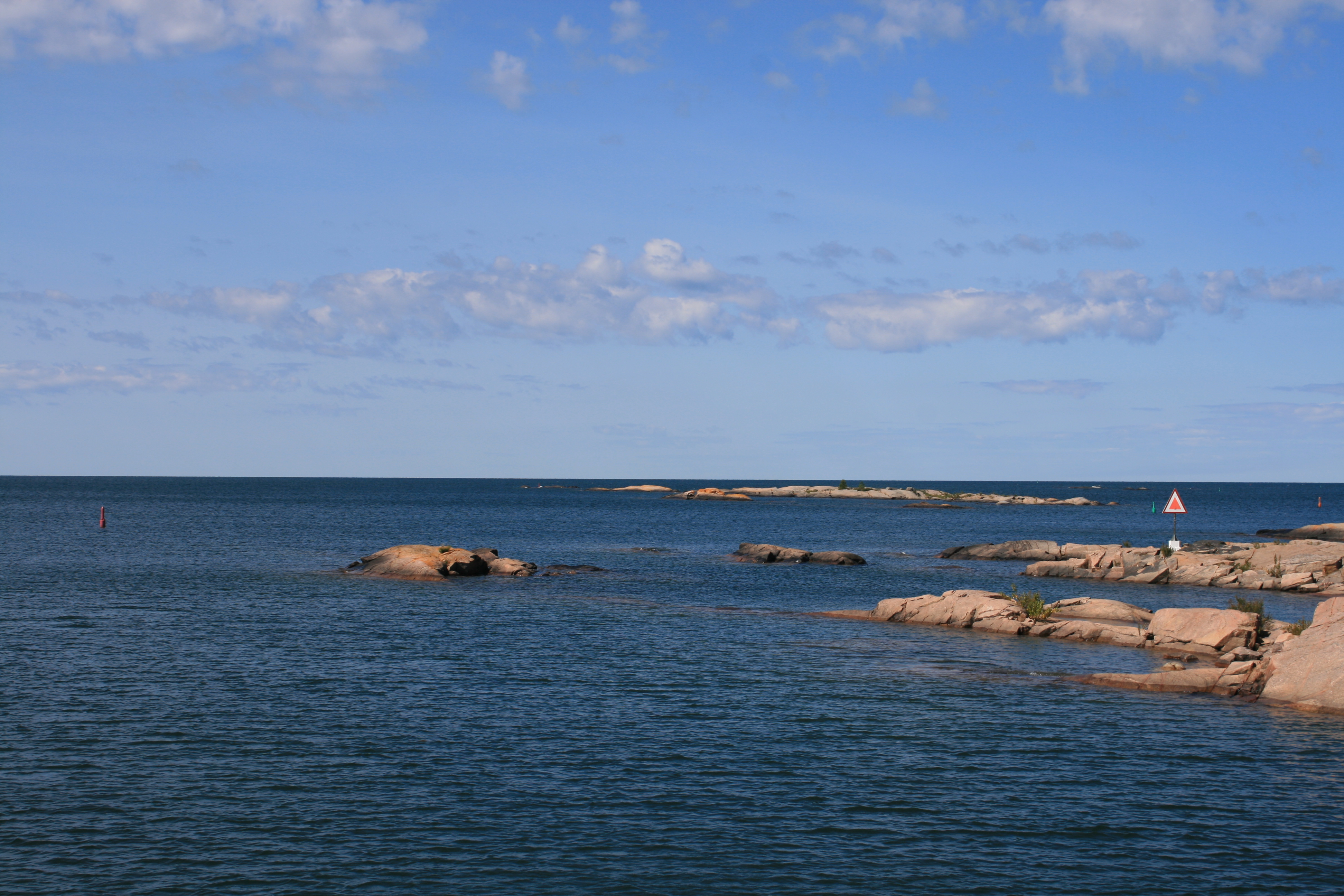
Pointe au Baril Lighthouse
Pointe au Baril refers to the early days of trade and exploration, when a barrel was placed placed on a rock with a light burning on it, as a navigation point. A barrel is still visible behind the lighthouse.
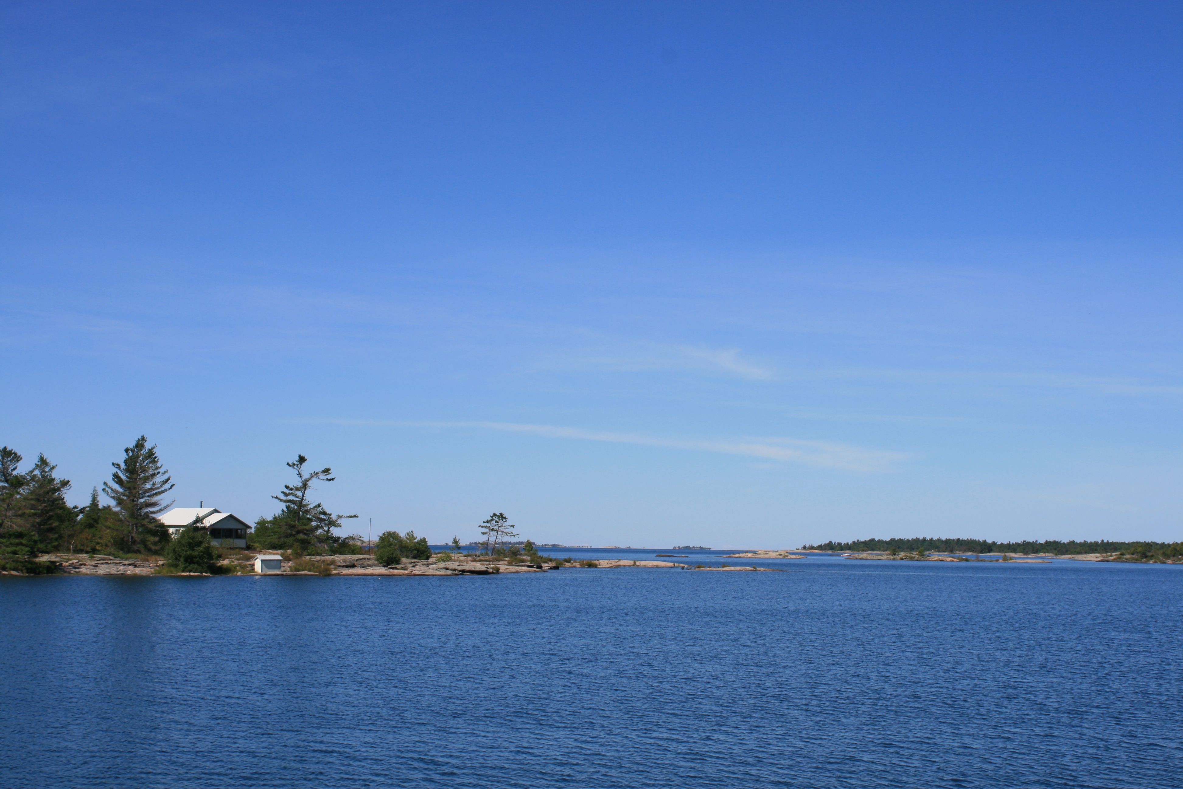
Near Hangdog Reef

Near Big Burnt Island

Alexander Passage
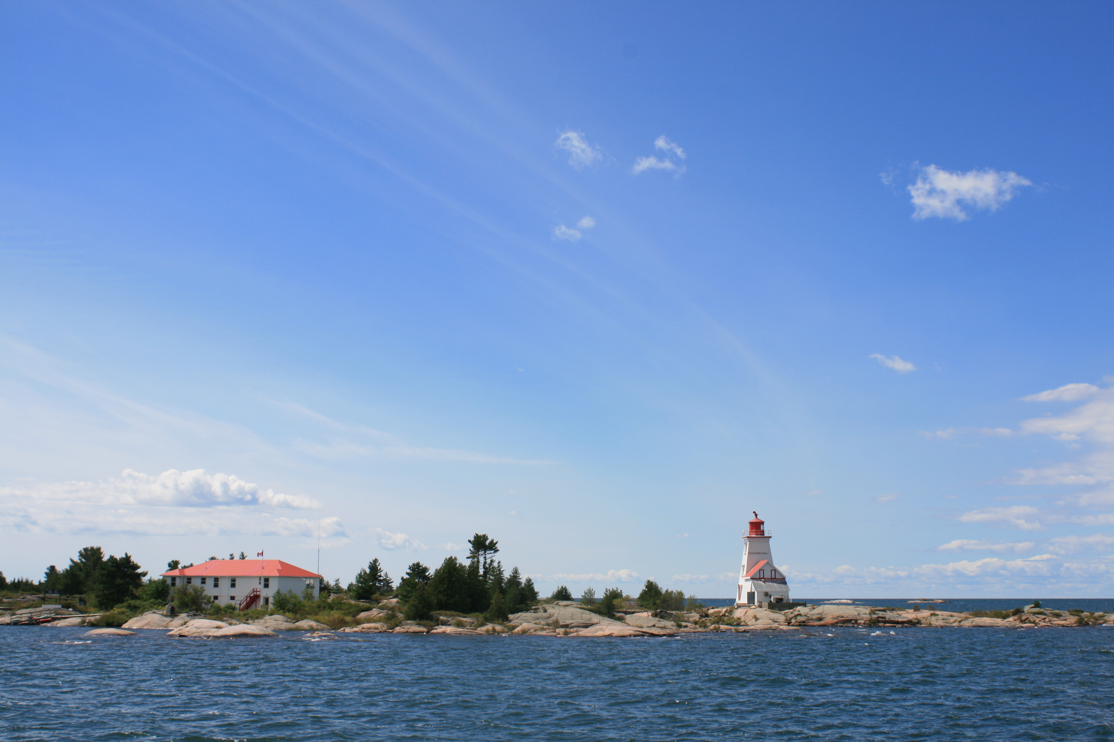
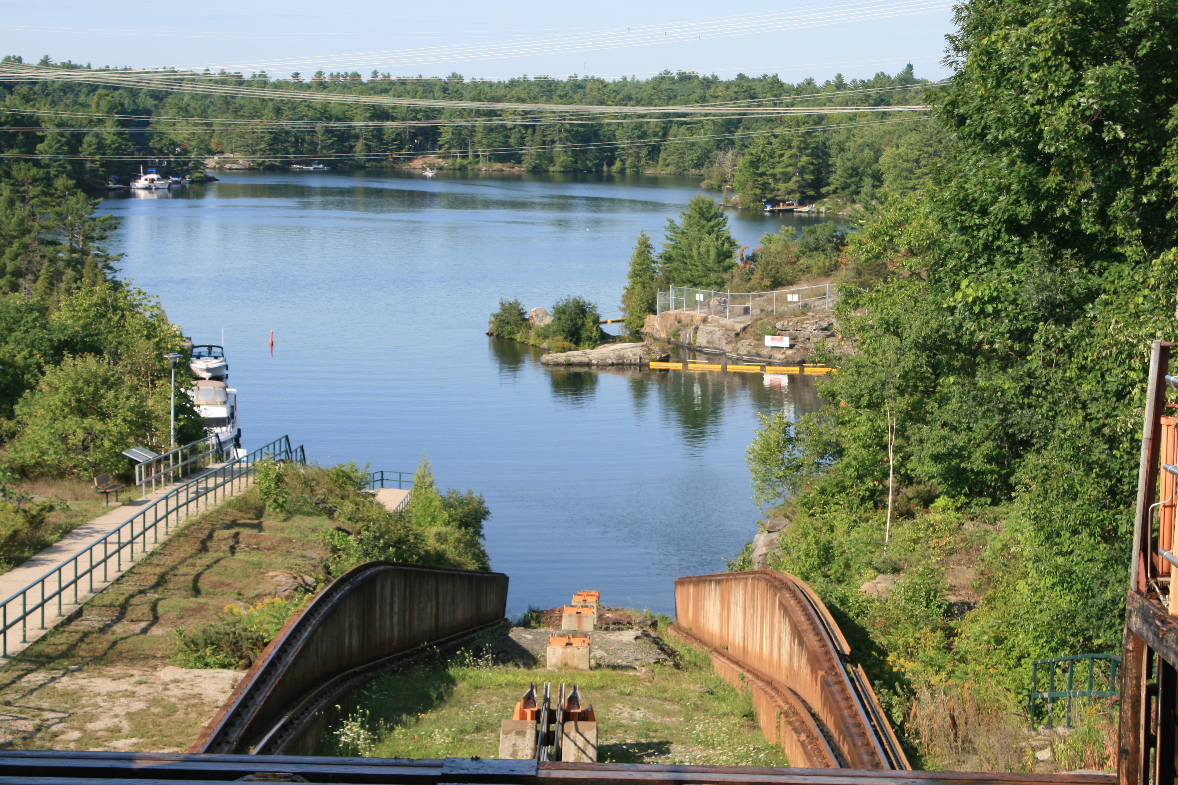
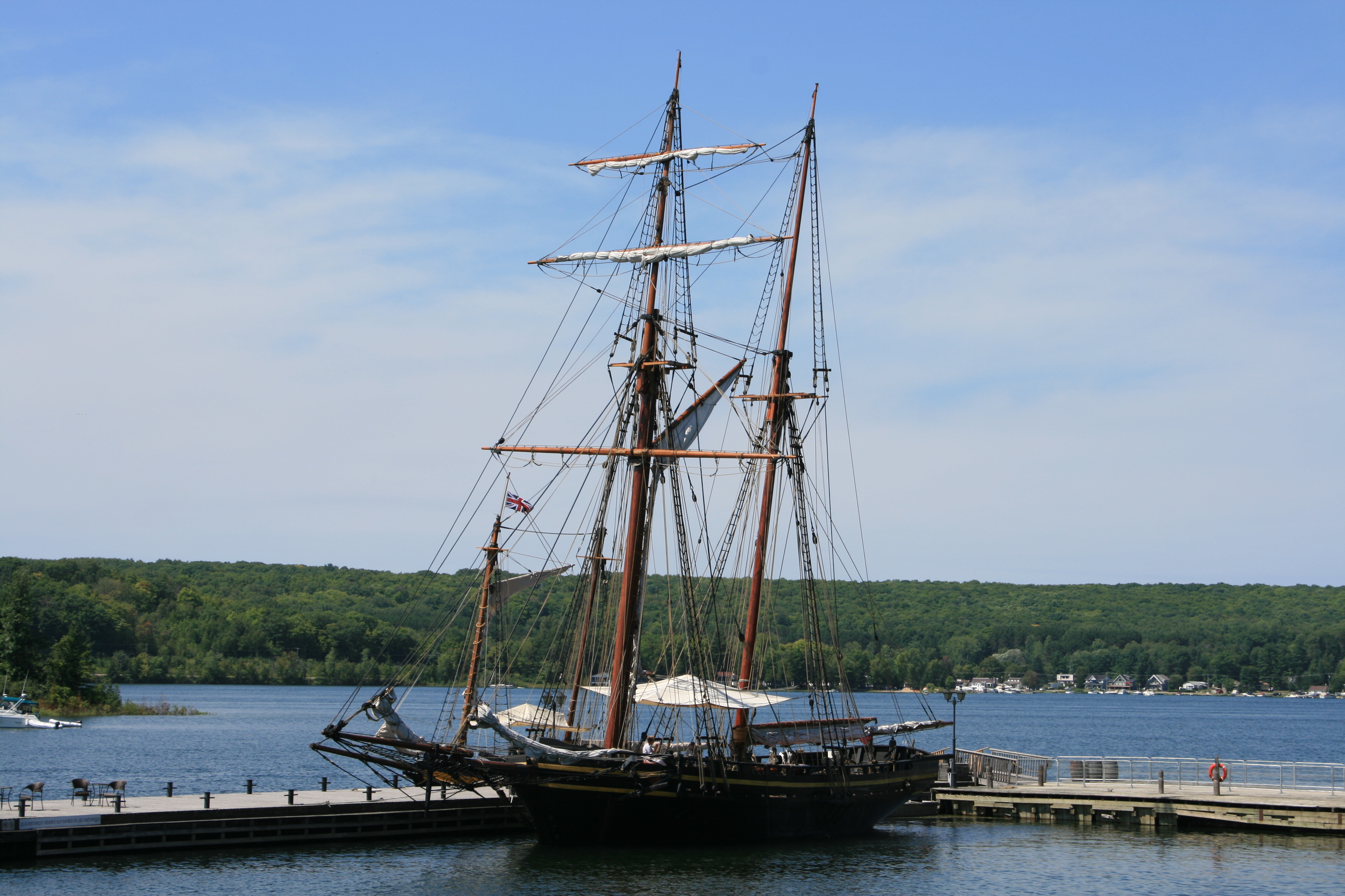
Gereaux Island lighthouse at the entrance to Byng Inlet

Carina at Wright’s Marina, Byng Inlet
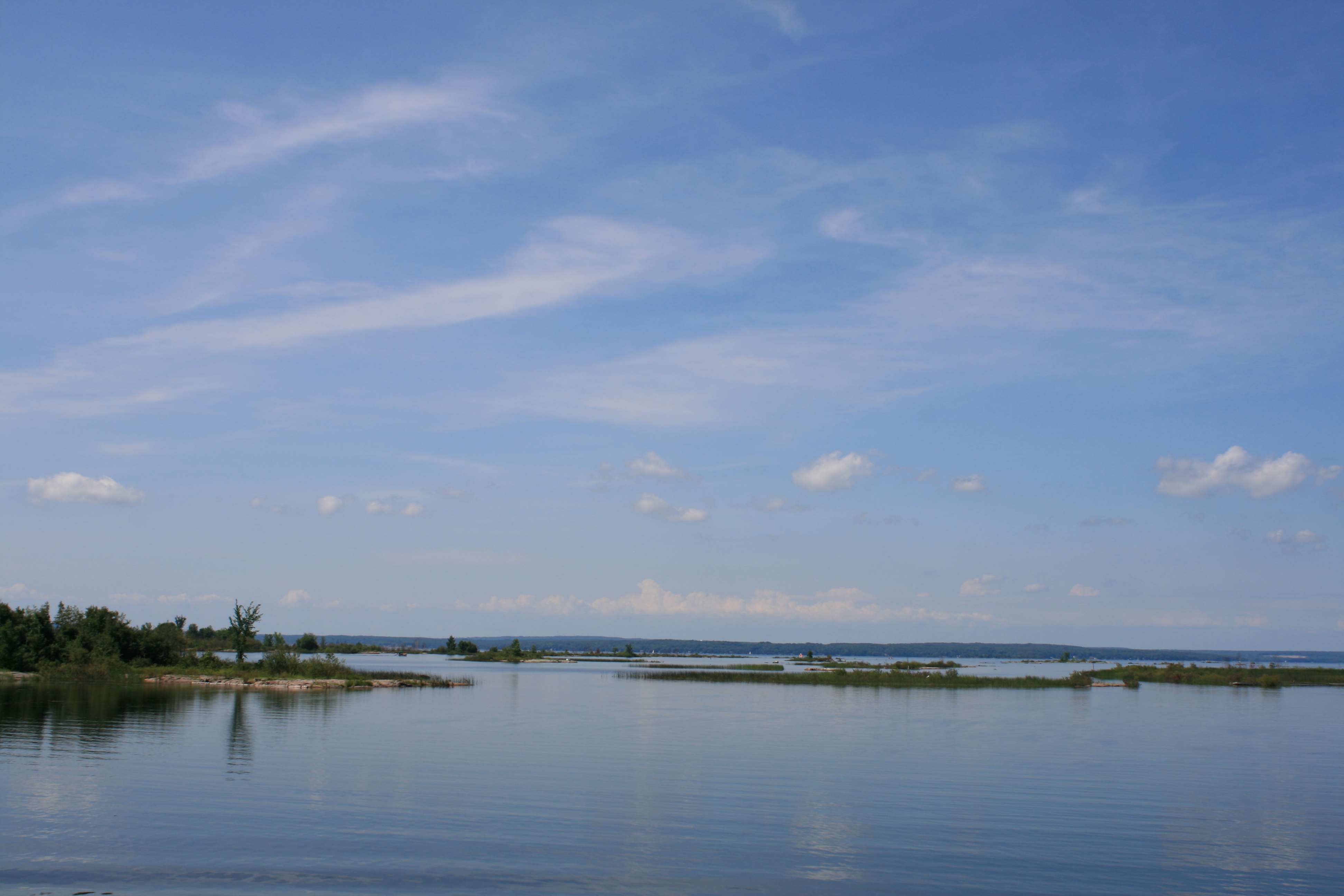
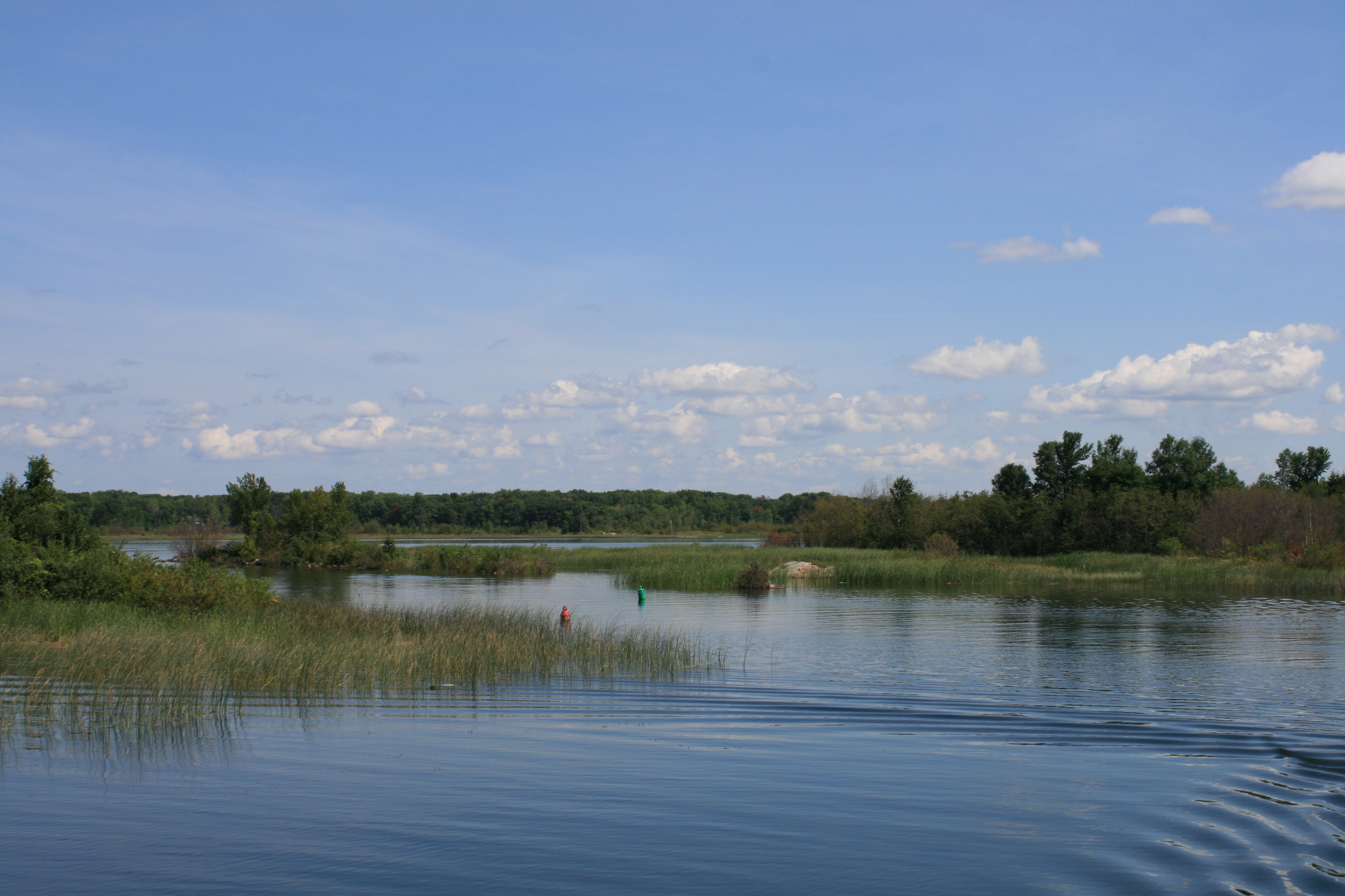
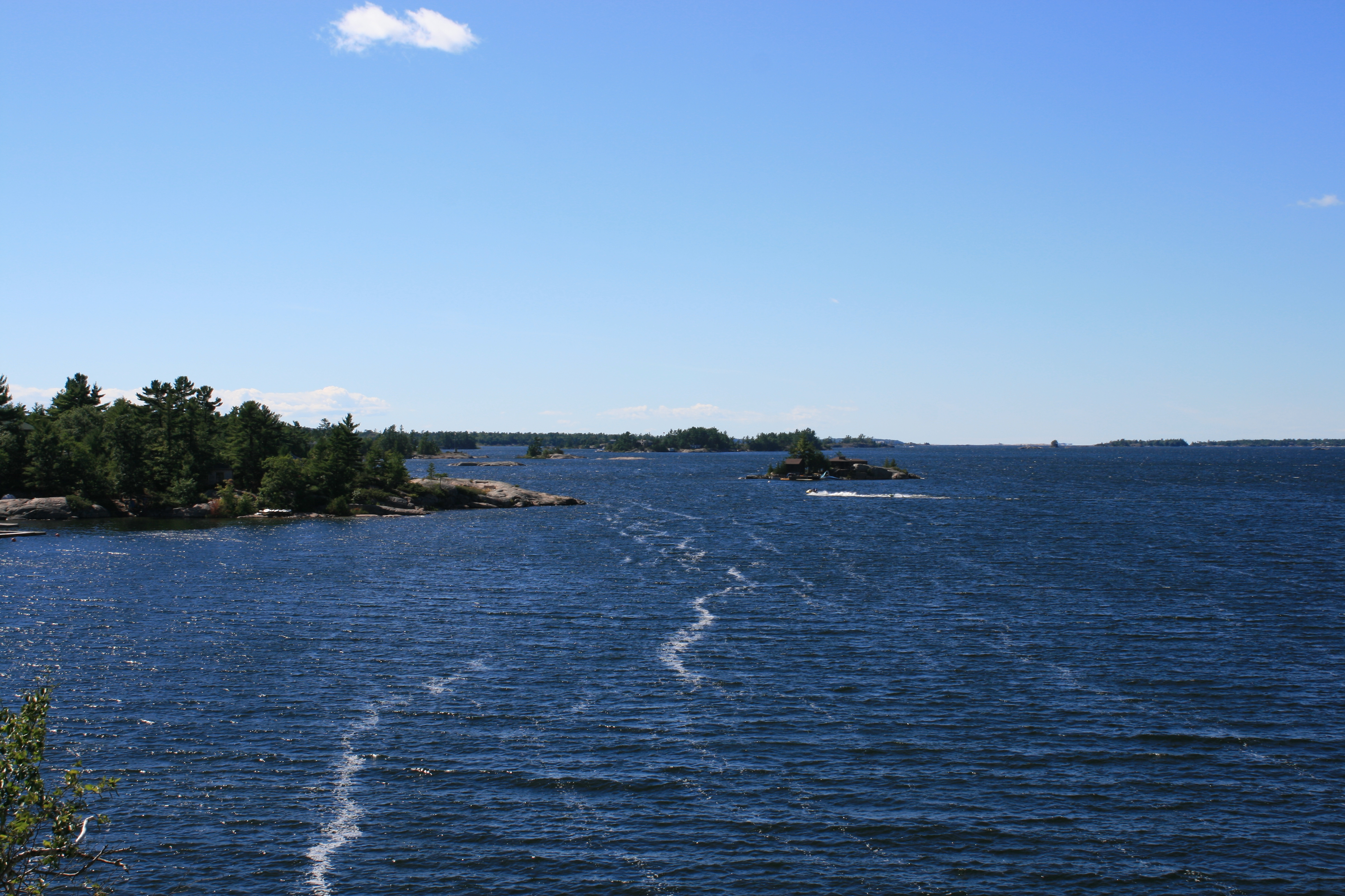
Georgian Bay is unlike anywhere I have ever been. Its 30,000 islands along the north shore seem to go on for ever, set in the deep blue lake studded with pink granite and pine trees. Beyond Byng Inlet, it becomes largely wilderness and even more beautiful. But that will be for next year.
We spent two days at the marina, doing all the laundry and packing the boat up. At one point we went out for a bike ride and an ice-cream and came back to find we had missed some excitement. A bear had ambled through the marina in our absence.
Public transport in this part of Ontario is intermittent. Our only way of getting to Toronto, or anywhere else, was by bus. The bus ran once a day. It passed the Byng Inlet road end at 6pm, and arrived at Toronto 4 hours later.
Graham, the marina manager, very kindly took us to the road end, where we had to wait in the sun on the hard shoulder of the busy 4 -lane highway for the bus to stop. The bus arrived 15 minutes early, so it was just as well that in our anxiety not to miss it, we had insisted on arriving at the pick up point at 5.30.
We had four nights in Toronto and included a trip to Niagara Falls before flying back to Boston and on to Heathrow. Not least among the things that impressed us about Toronto was Billy Bishop Airport, where even economy class passengers can use the free wifi, sit in comfortable armchairs in clean, spacious surroundings, and enjoy complimentary coffee and snacks.

Ismaili Centre, Toronto
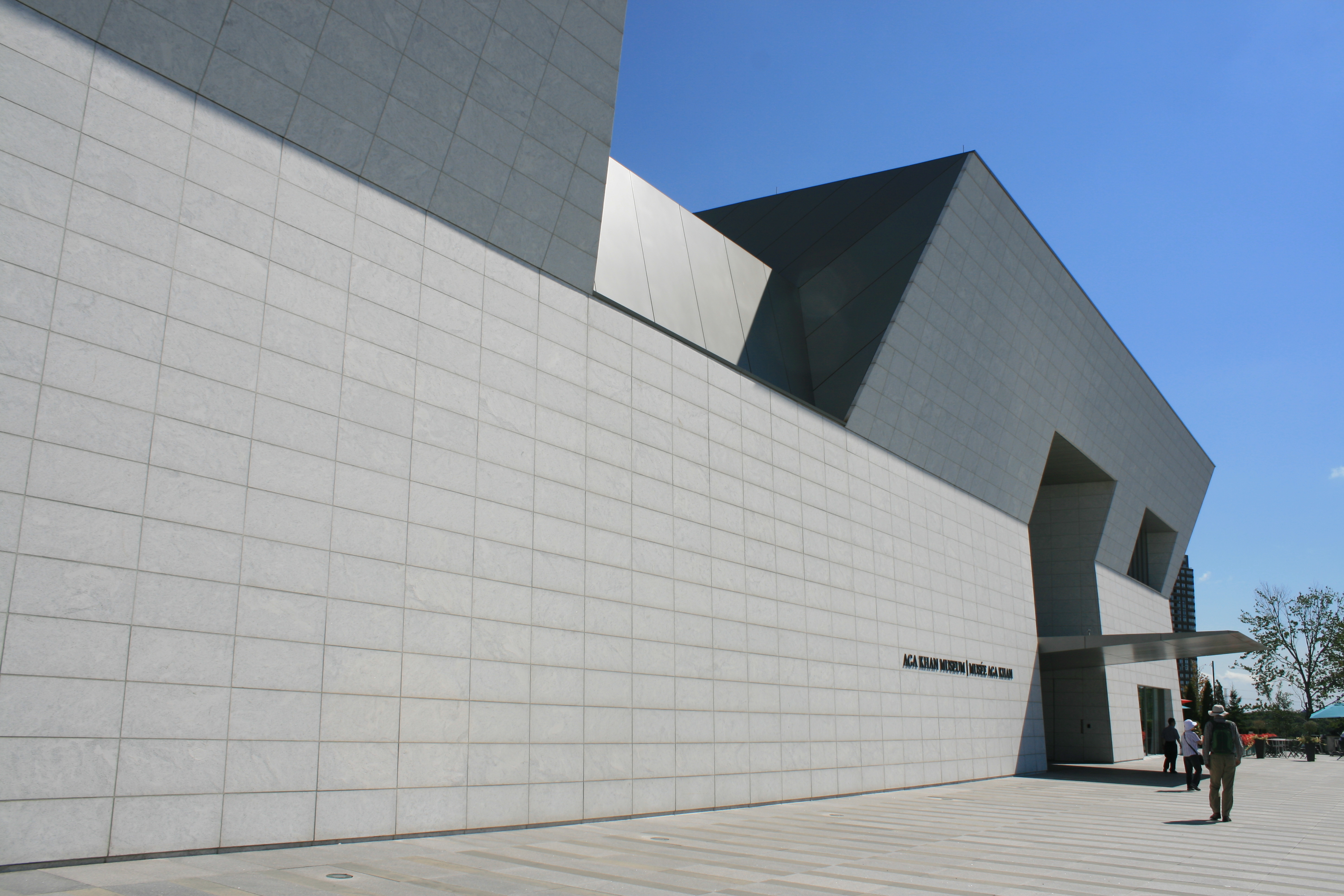
Aga Khan Museum, Toronto
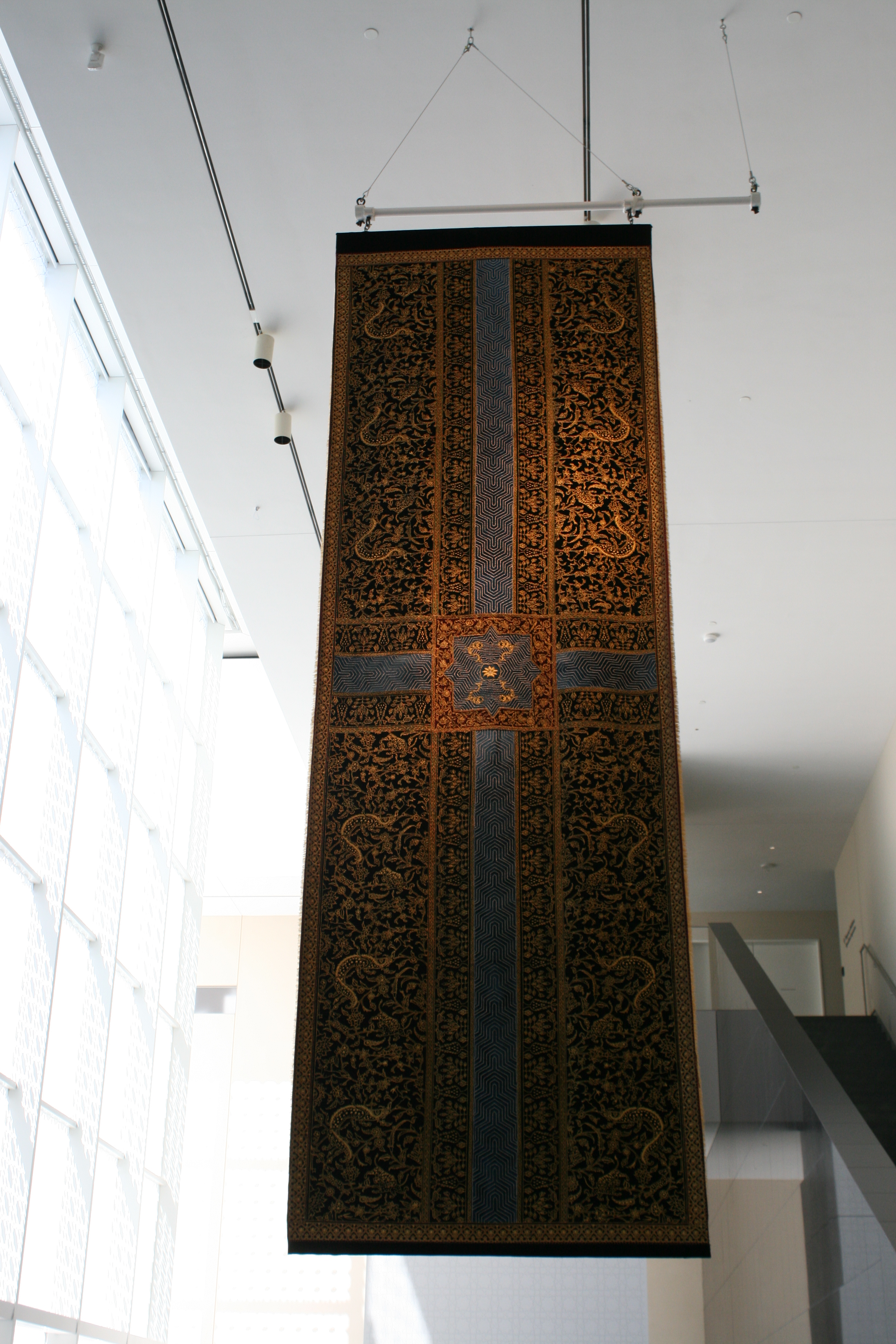
Wall hanging by Aisha Khalid, Aga Khan Museum.

Aga Khan Museum, Toronto
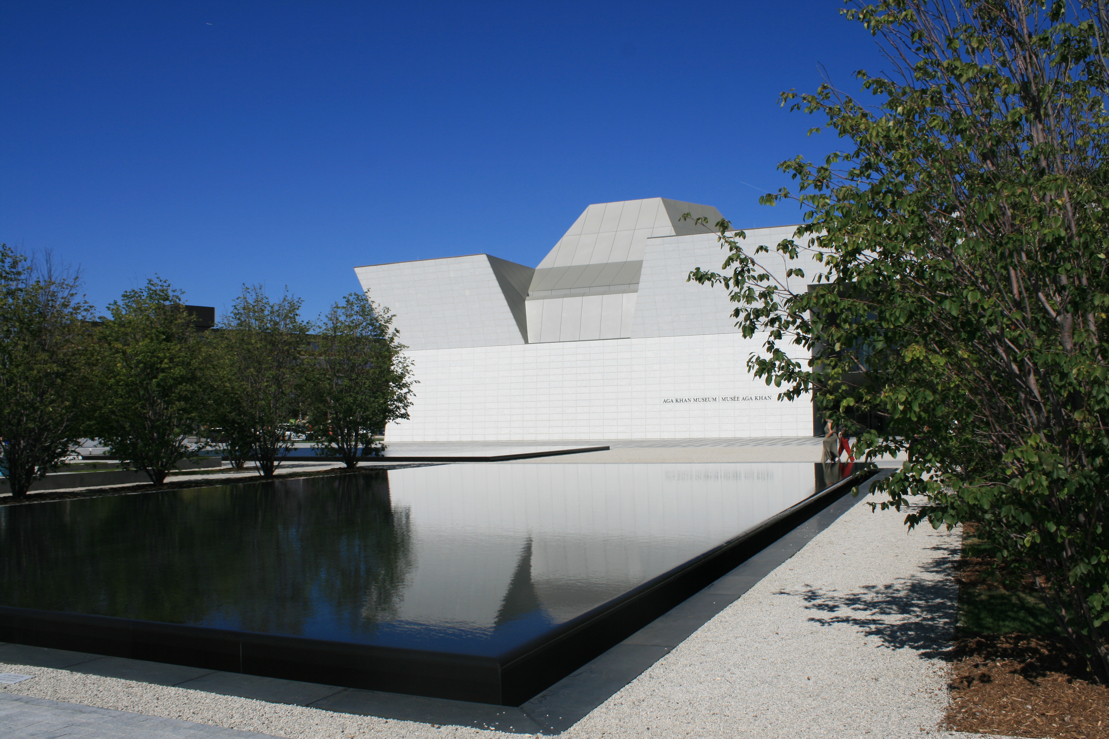
Aga Khan Museum
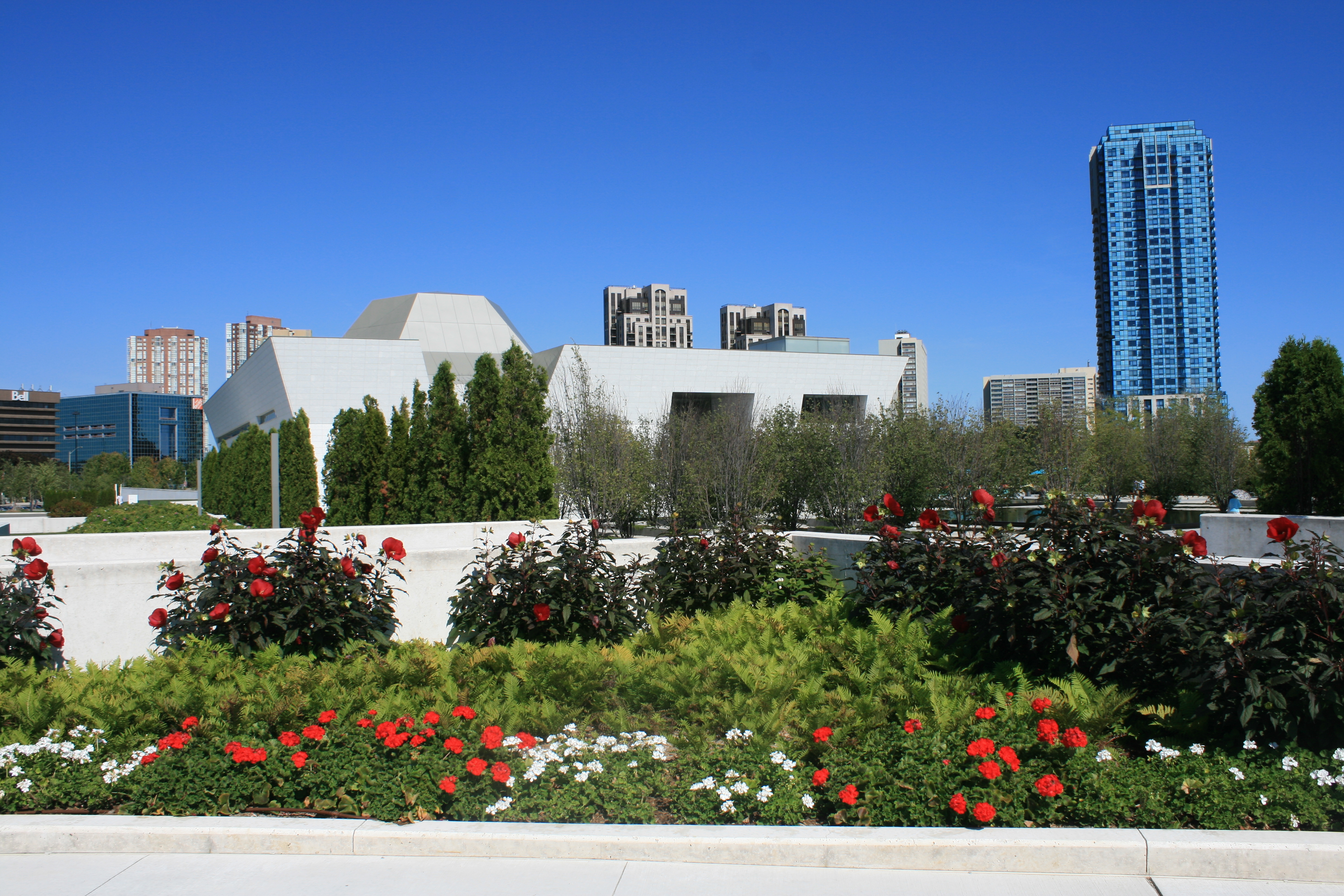
Aga Khan Museum and Gardens
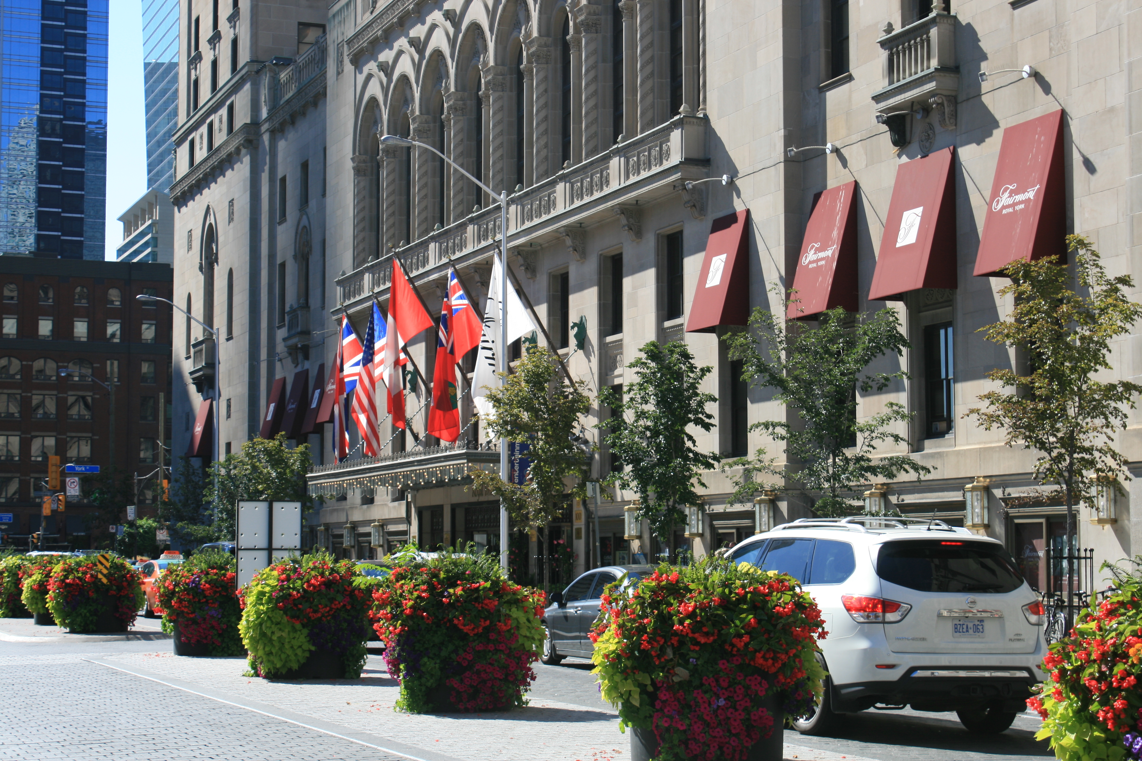
Royal York Hotel, Front St
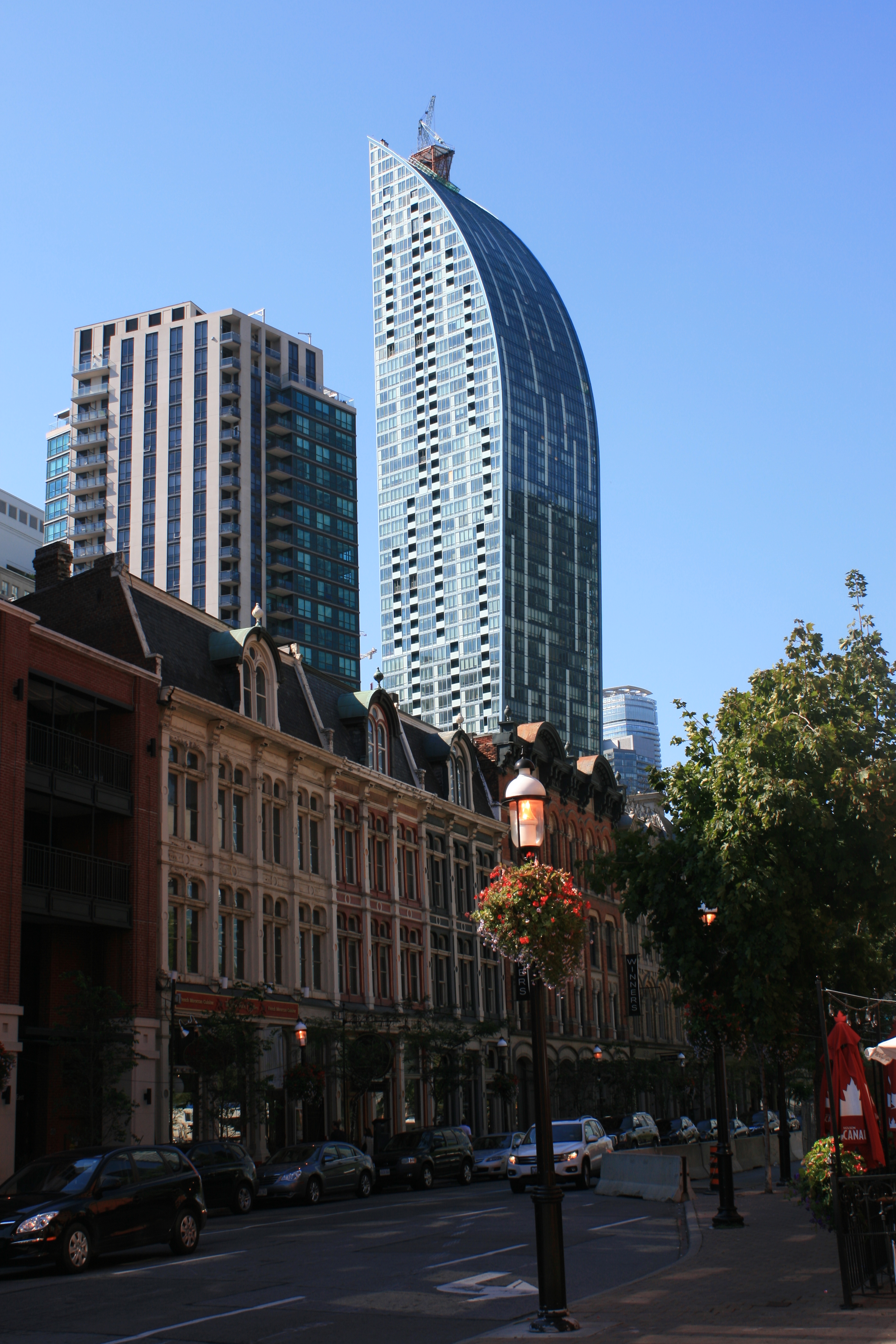
The L-Tower from Front St East
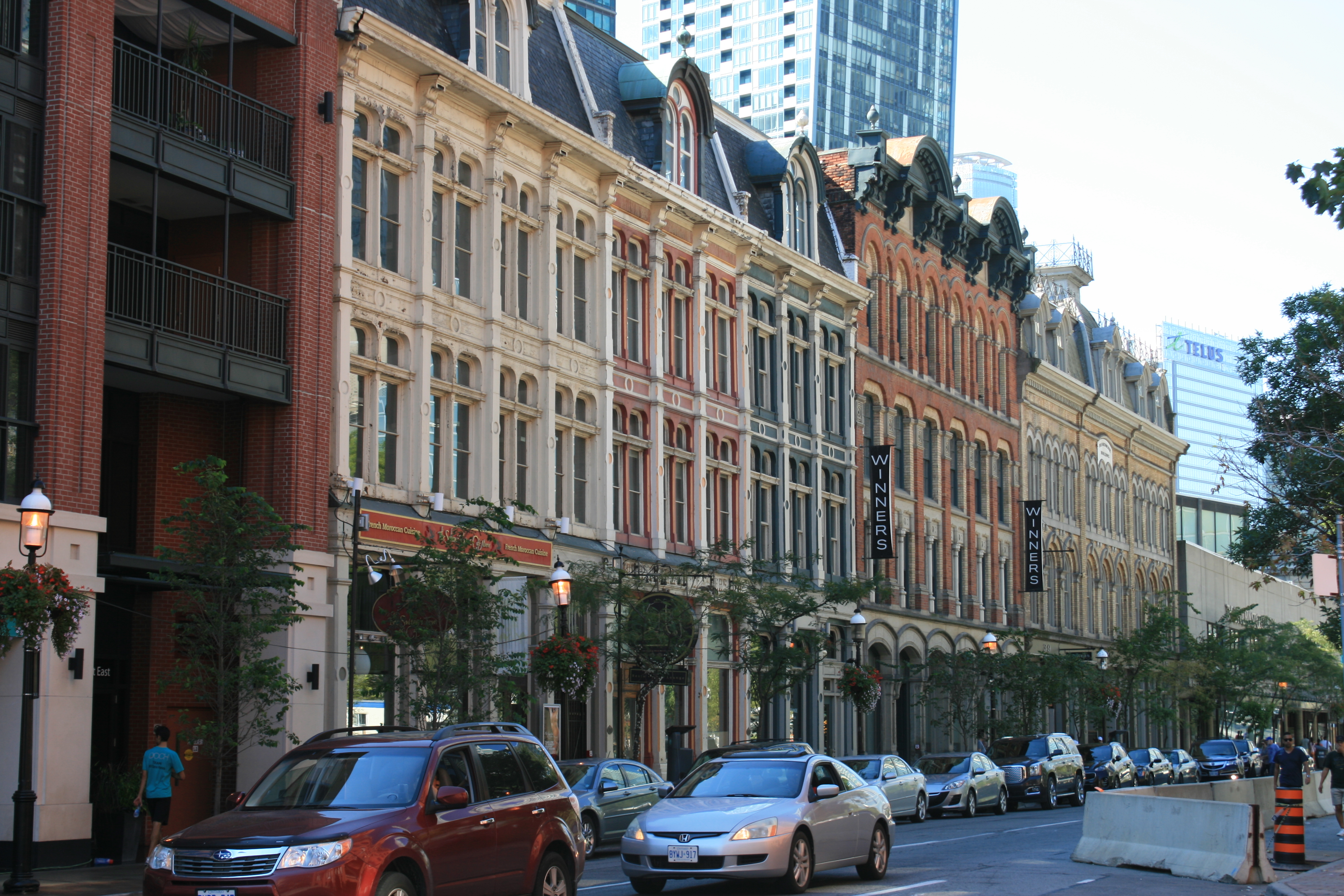
Front St East

Flatiron Building from Front St East
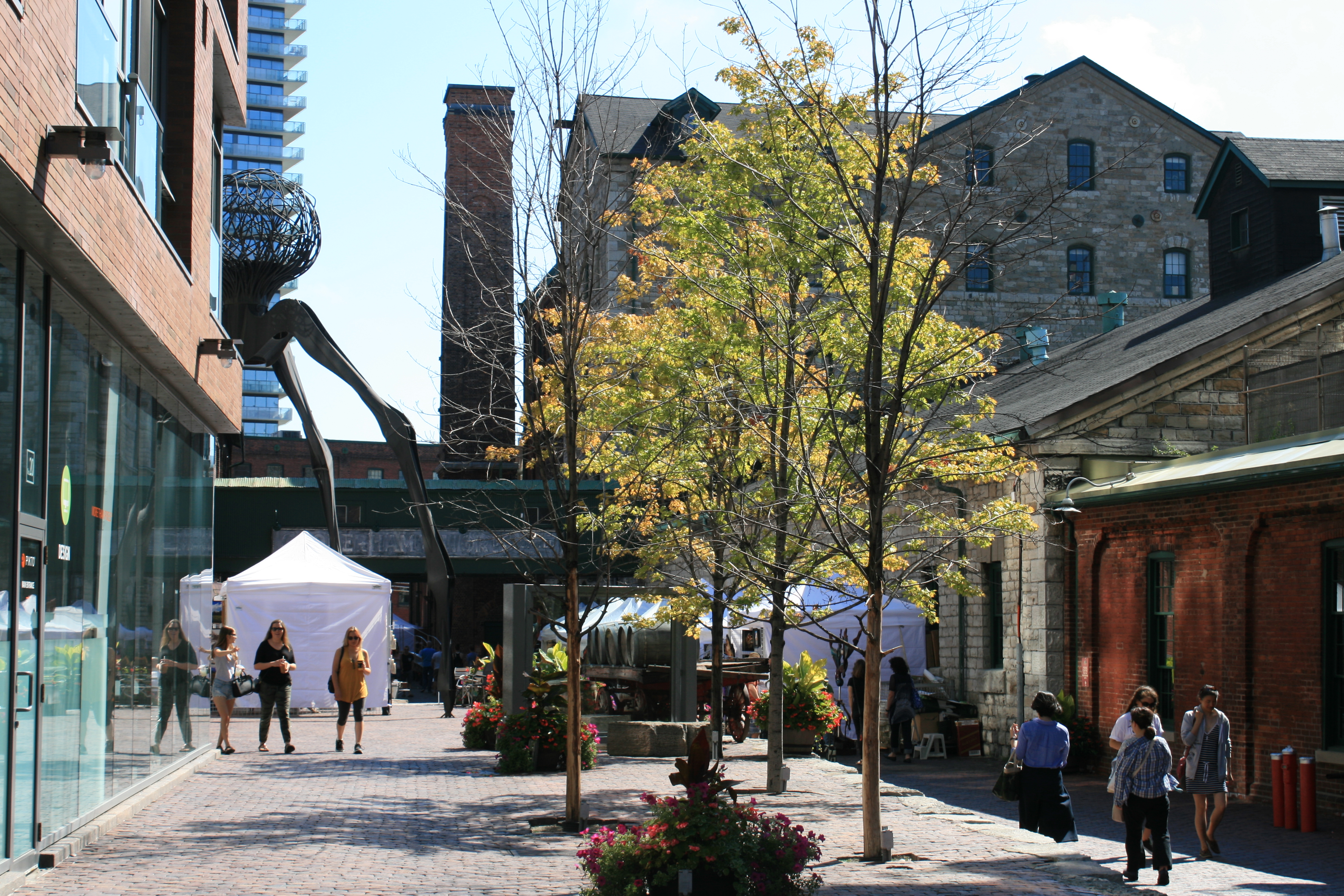
The Distillery District
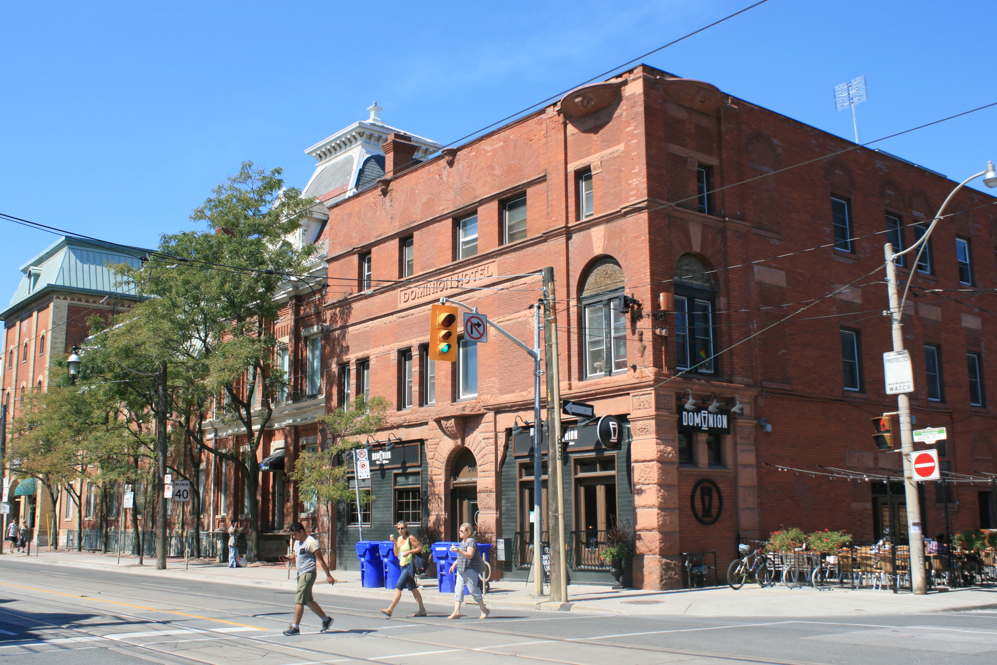
Dominion Hotel
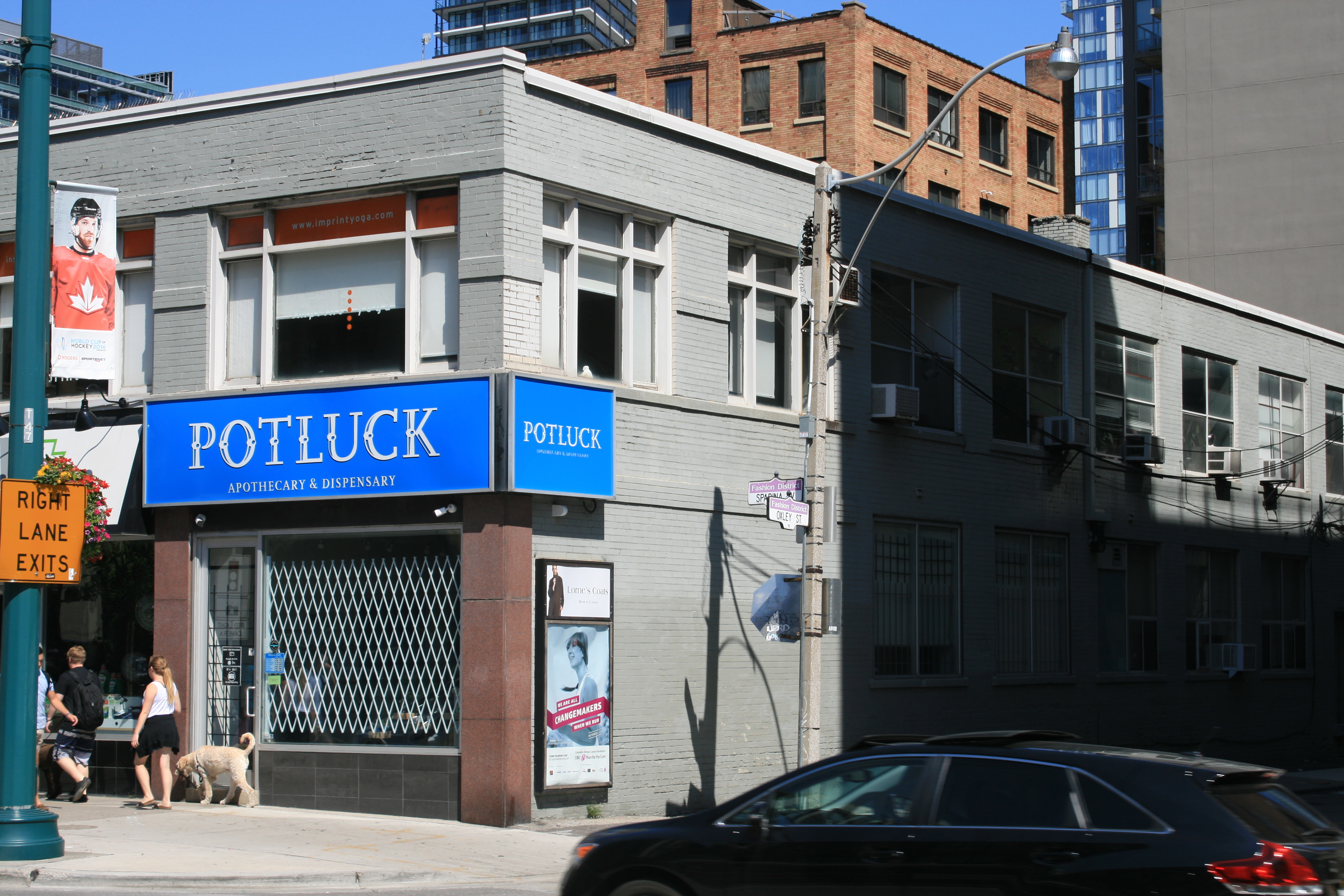
Potluck Dispensary
Cannabis can be legally purchased in Ontario at registered dispensaries.

8 Elm Street, Toronto
In downtown Toronto, there aren’t many old buildings left. This lovely building on Elm Street is scheduled to be replaced with an 80-storey tower.
We took the tram out to High Park on the west side of Toronto. The land was bequeathed in 1873 to the city for the use of its citizens by John Howard, who was an architect, engineer and land surveyor to the City of Toronto.

High Park

High Park
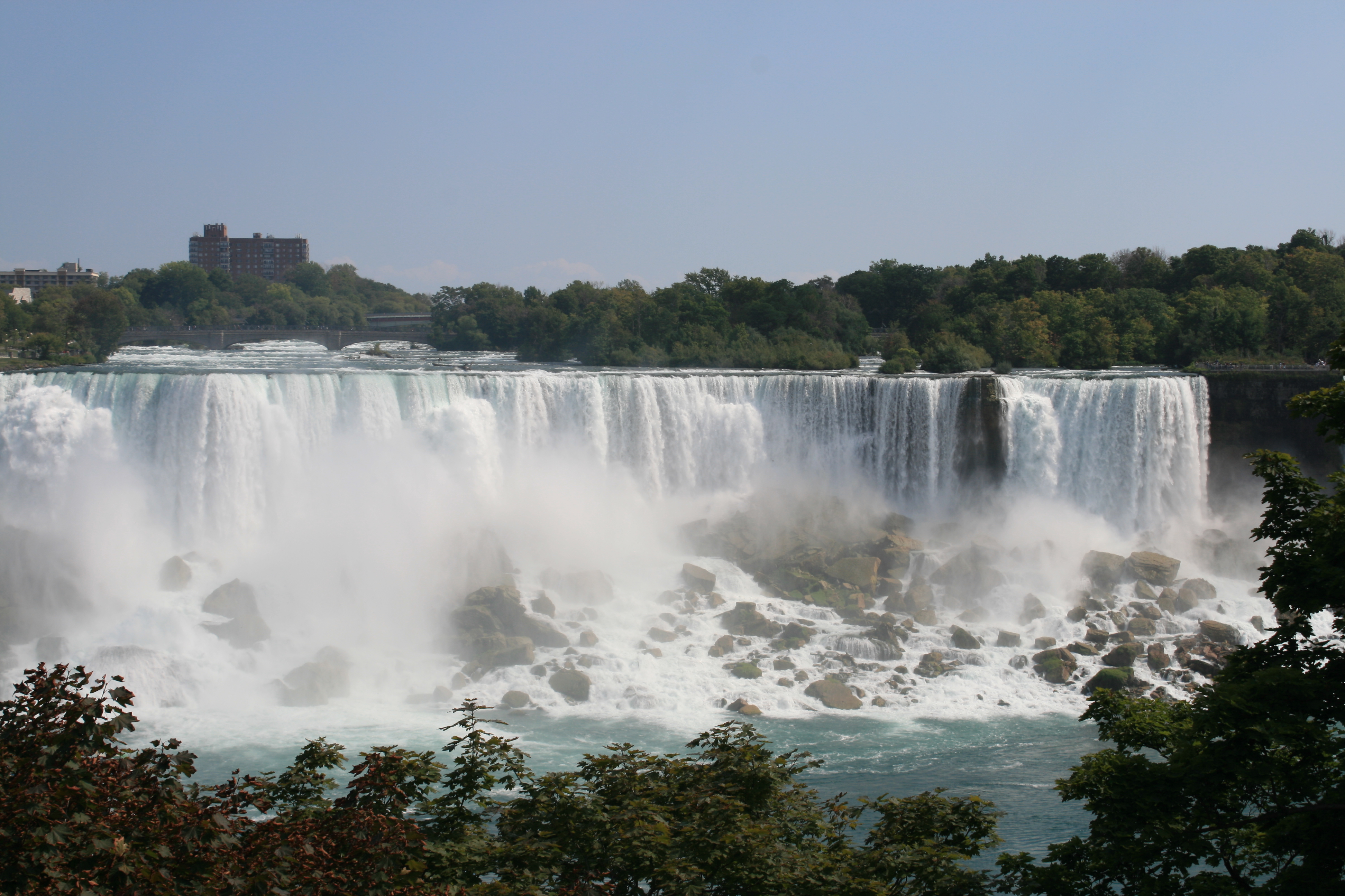
On our last day in Canada we hired a car and drove to Niagara Falls. It was crowded with people, but the souvenir shops and fast food outlets were well contained, the parkland bordering the ravine beautifully maintained, and nothing could take away the breathtaking splendour of the Falls.
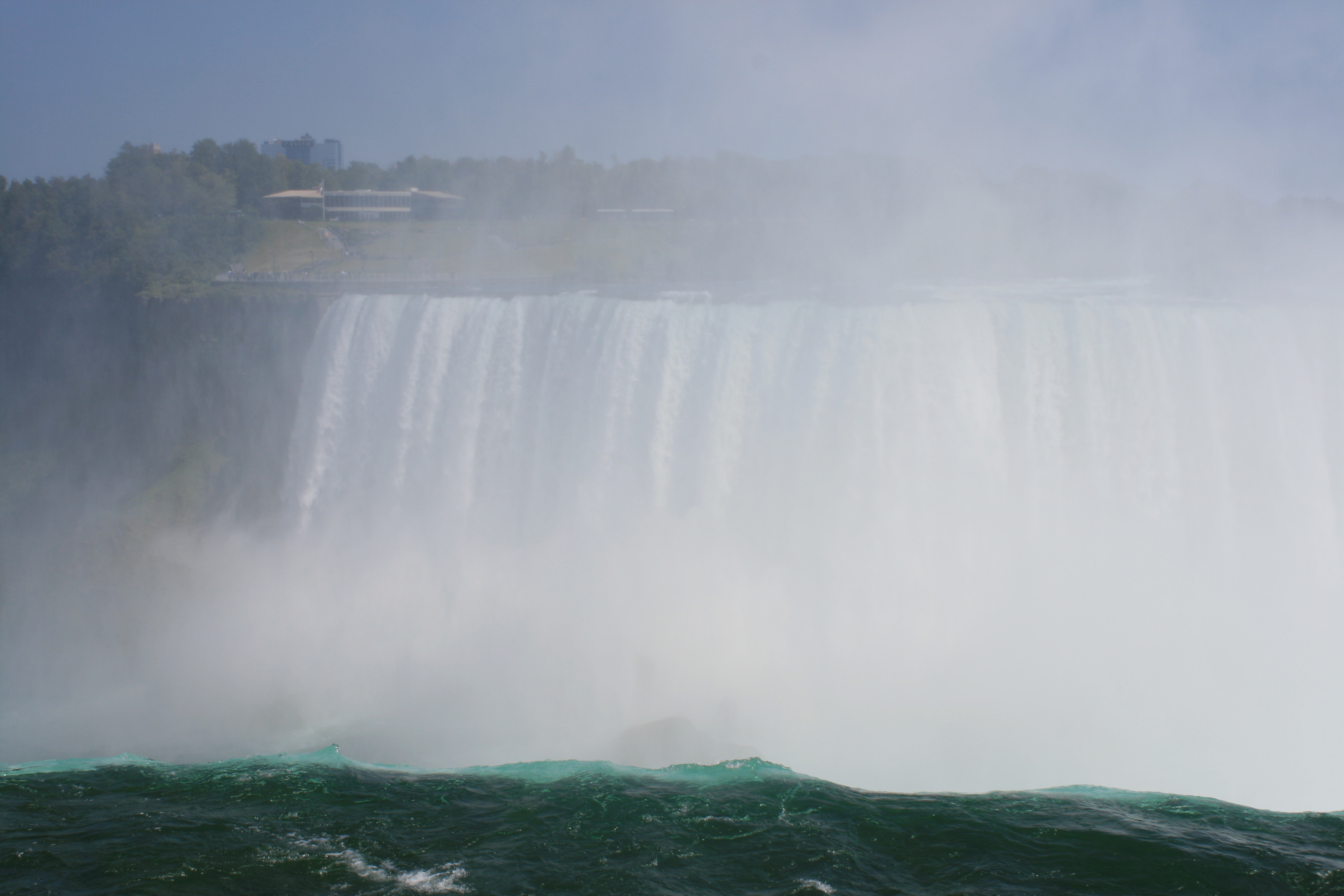
Canadian Horseshoe Falls
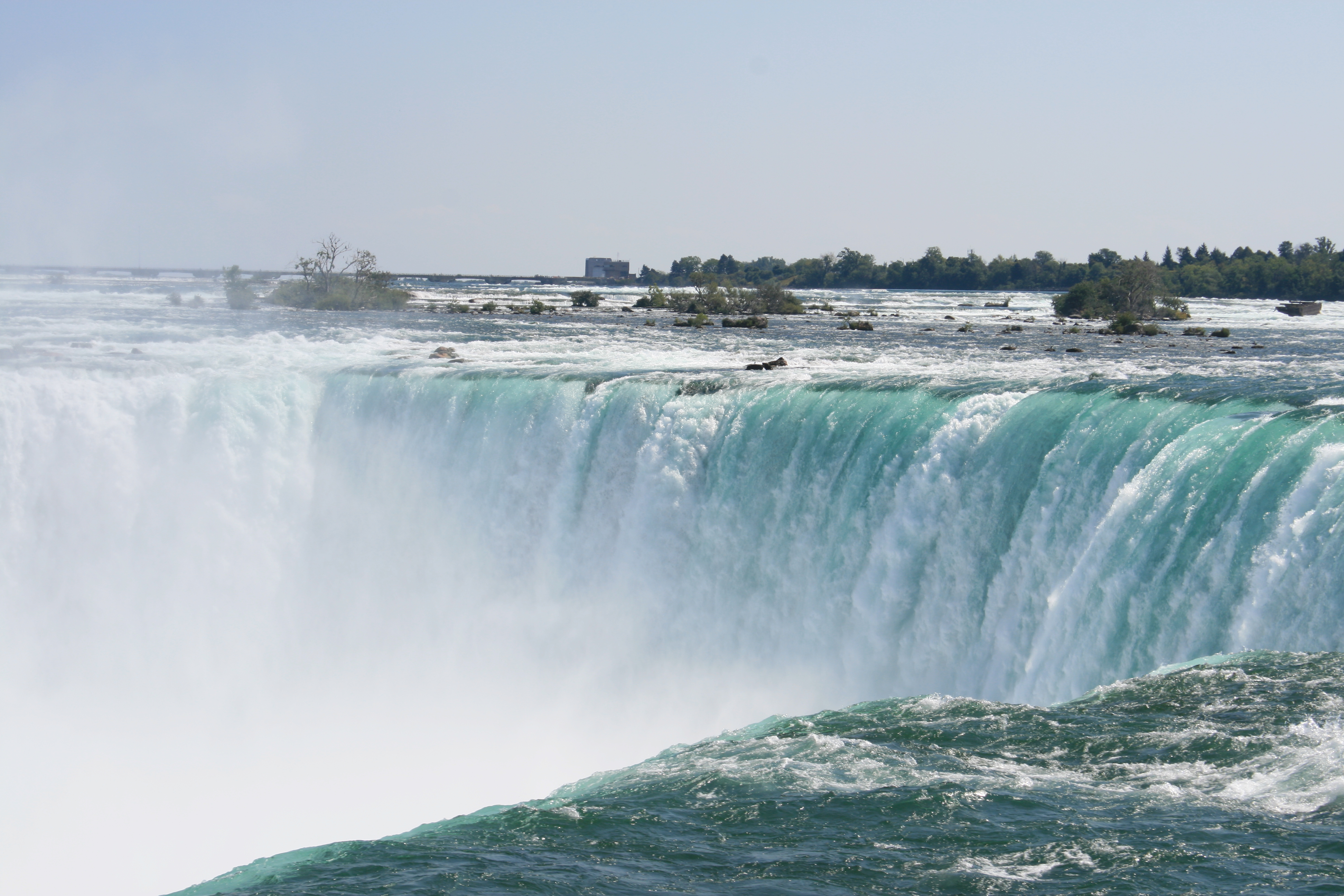
Canadian Horseshoe Falls
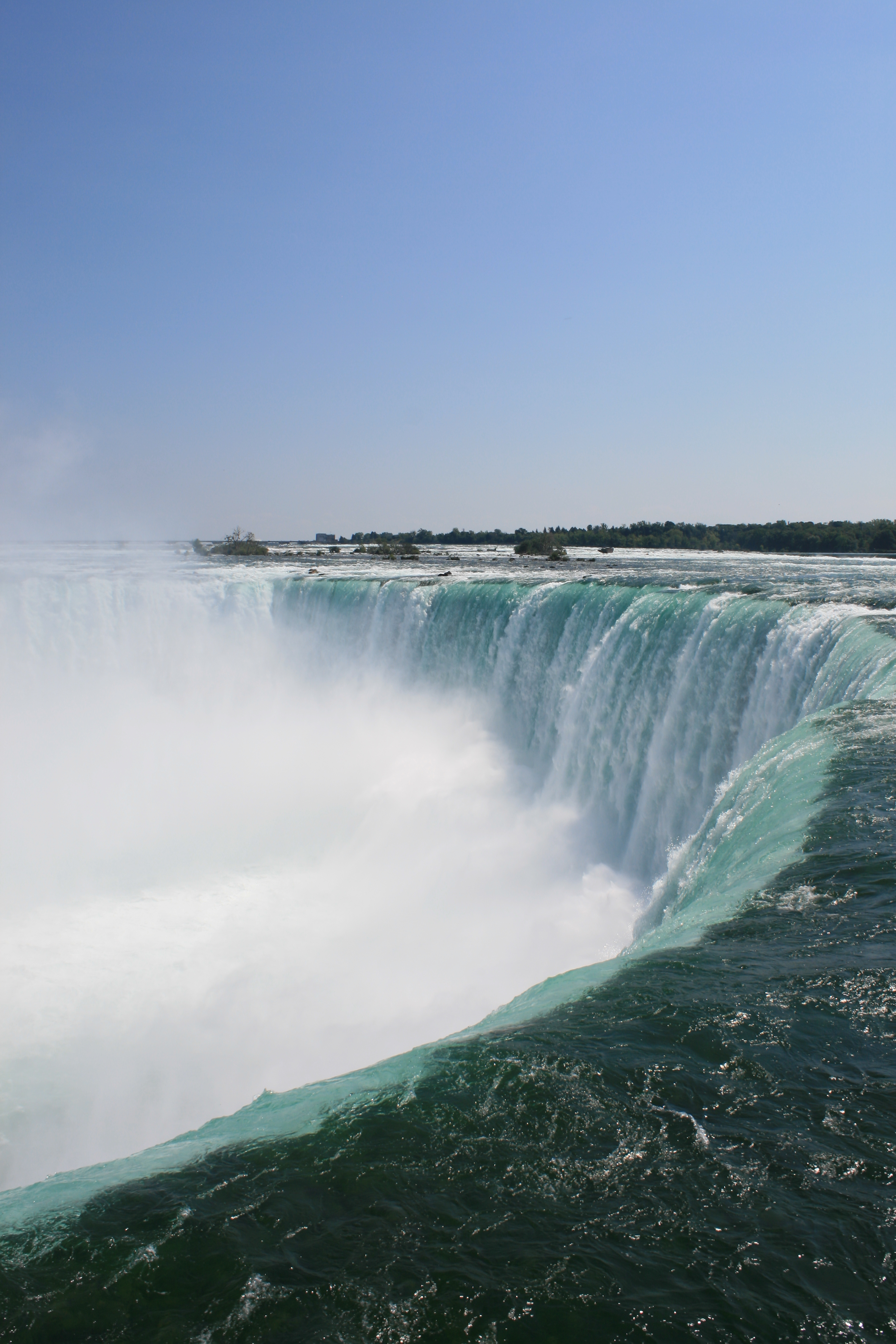
Canadian Horseshoe Falls

Canadian Horseshoe Falls

Canna Lilies with the Falls in the background
The American Falls

Floral Showhouse, Niagara Parks
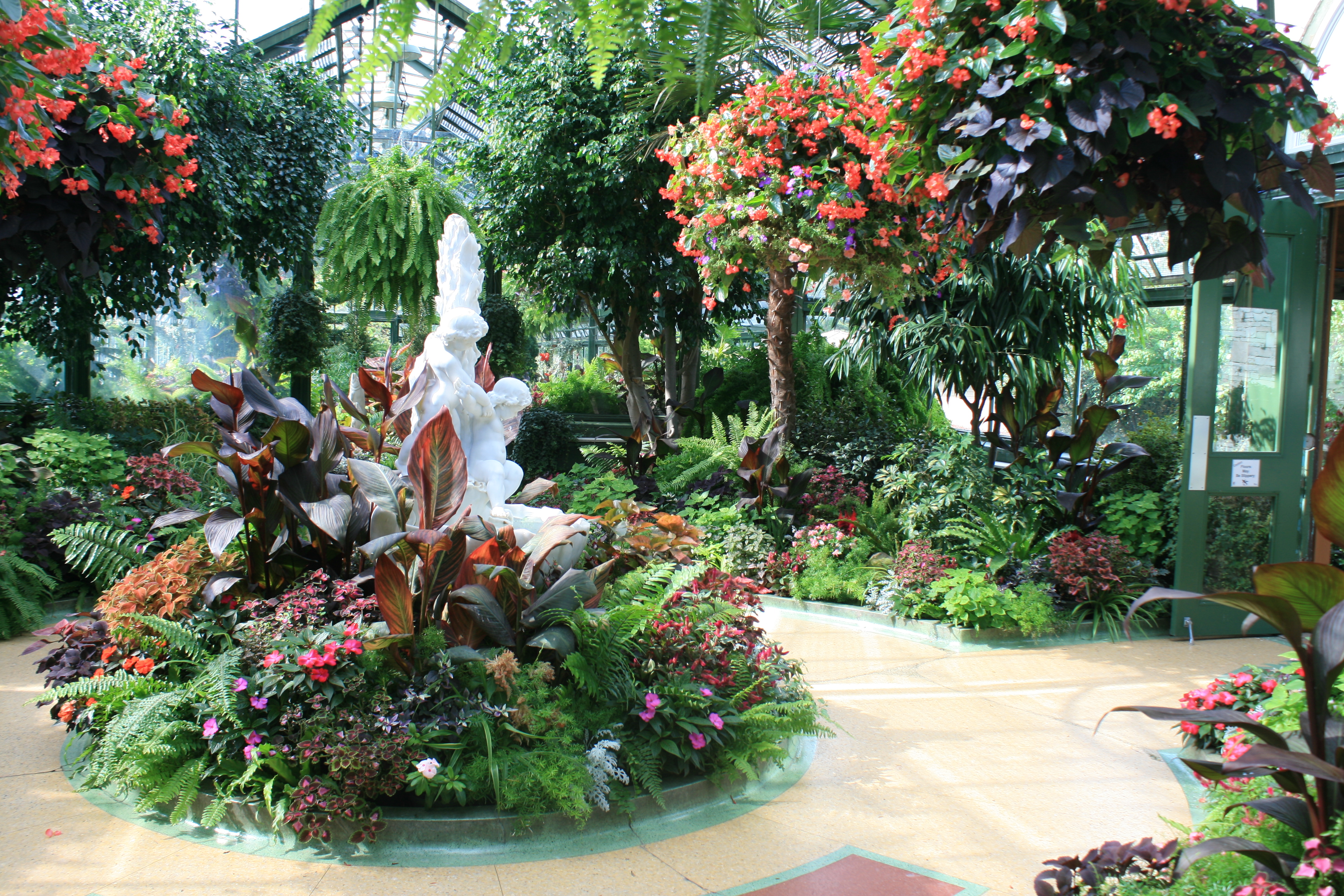
Floral Showhouse

Floral Showhouse