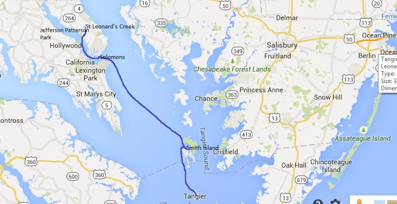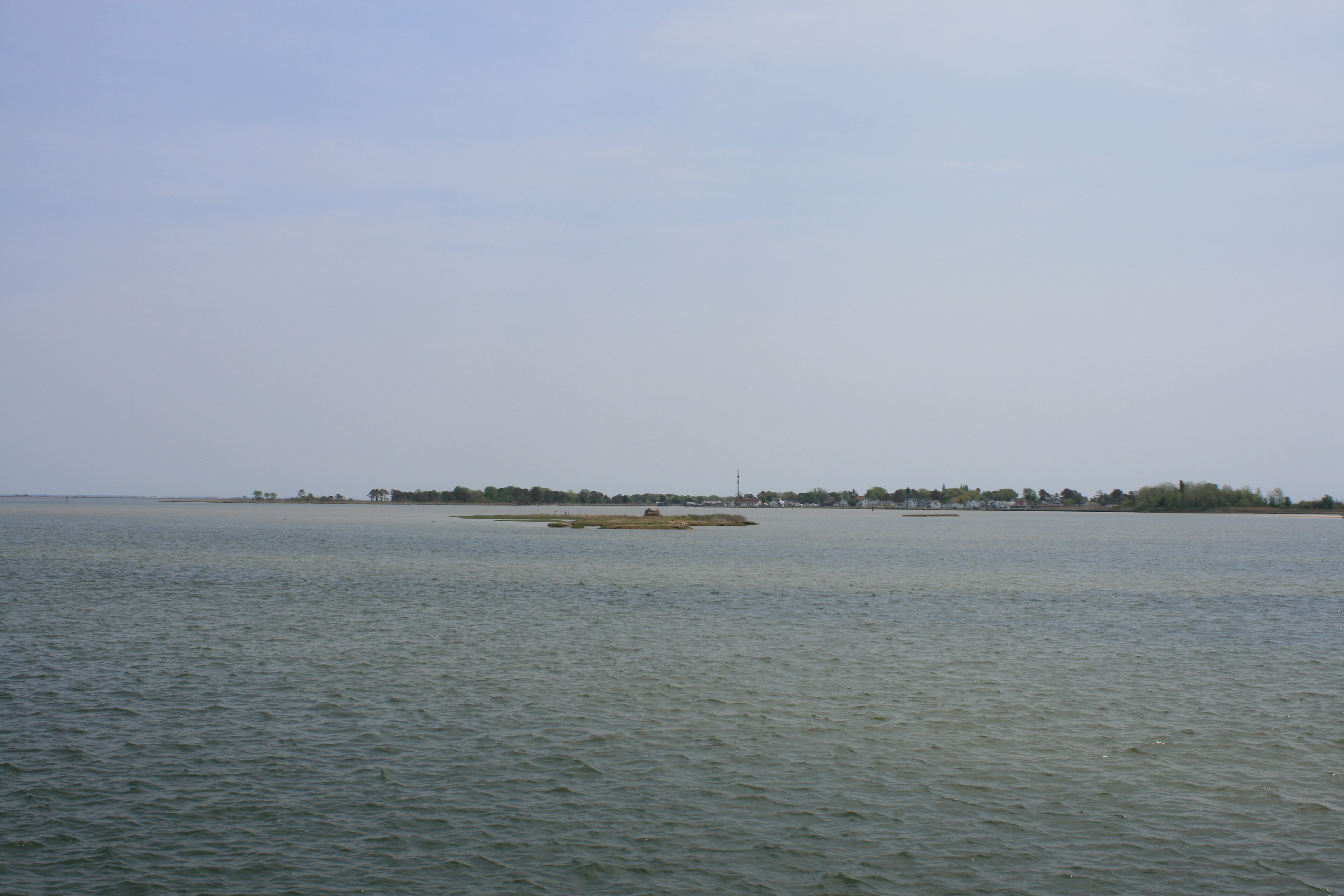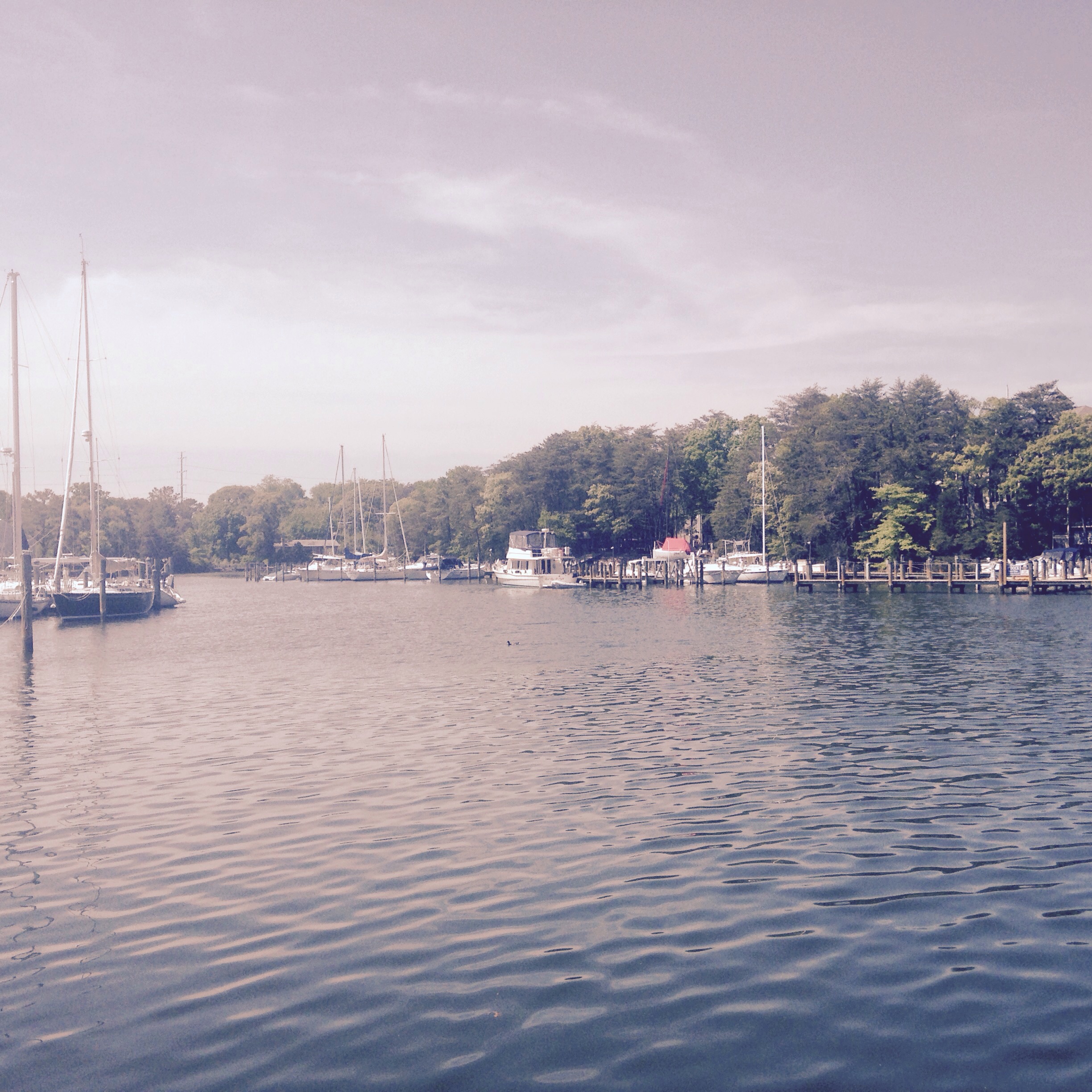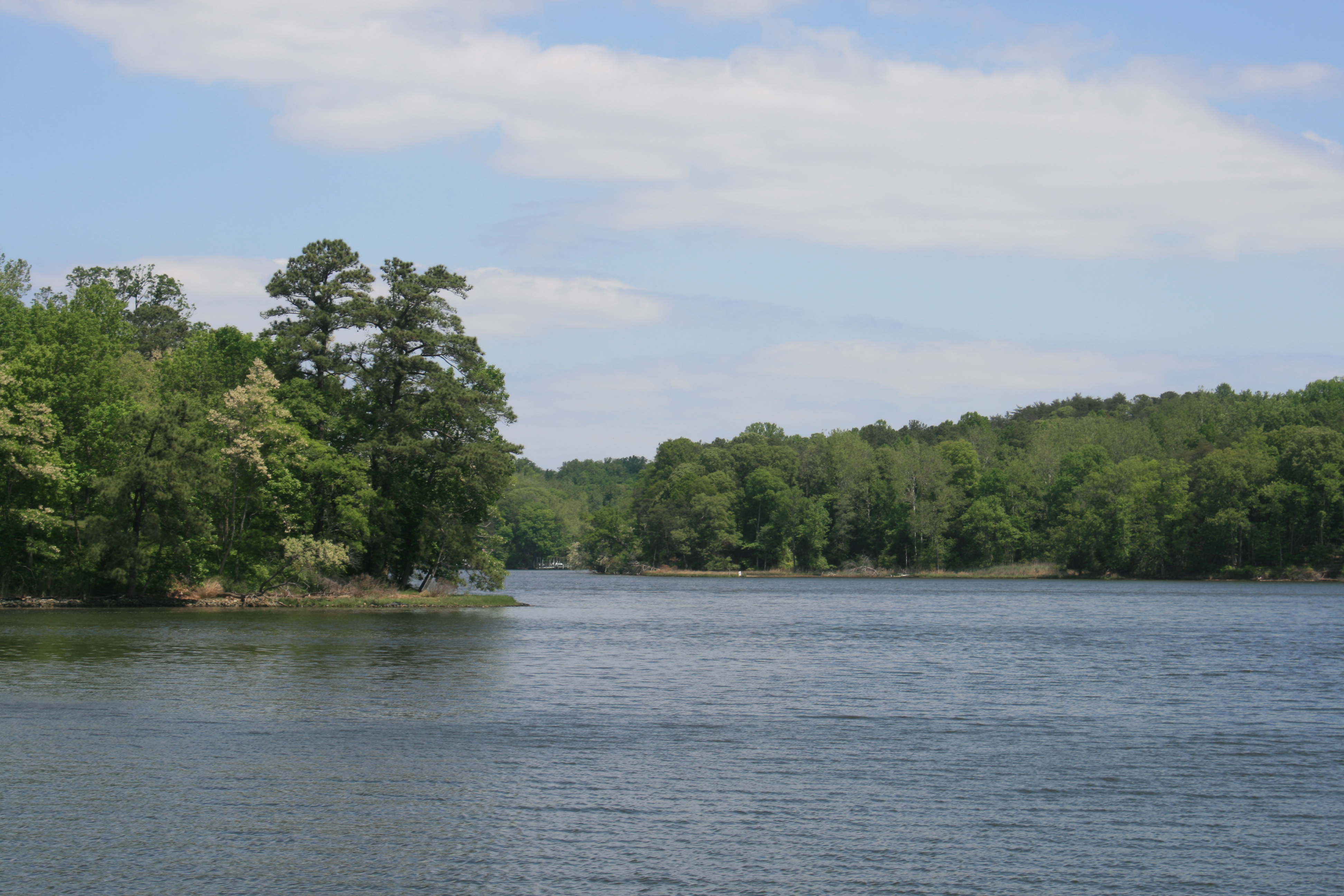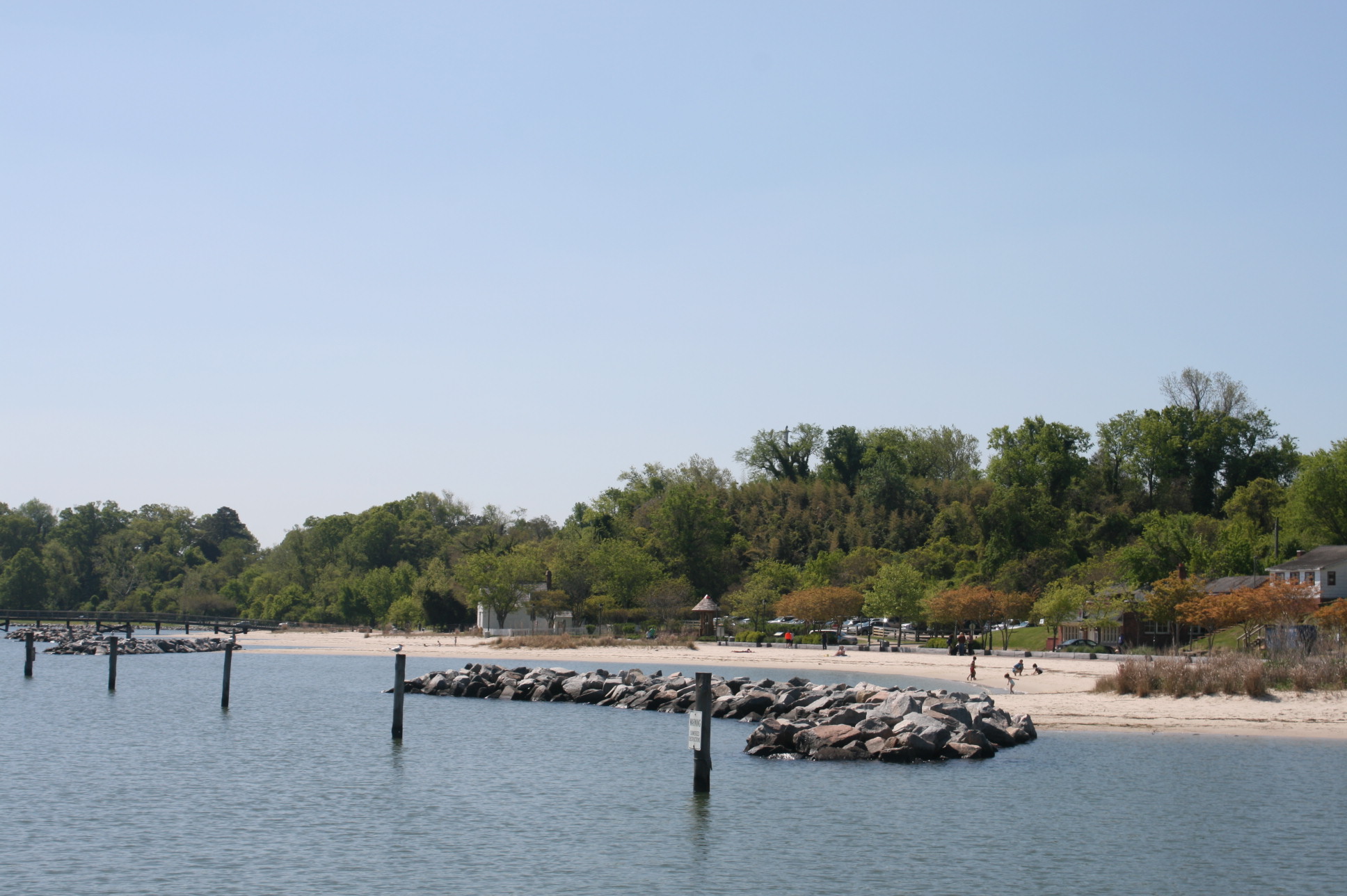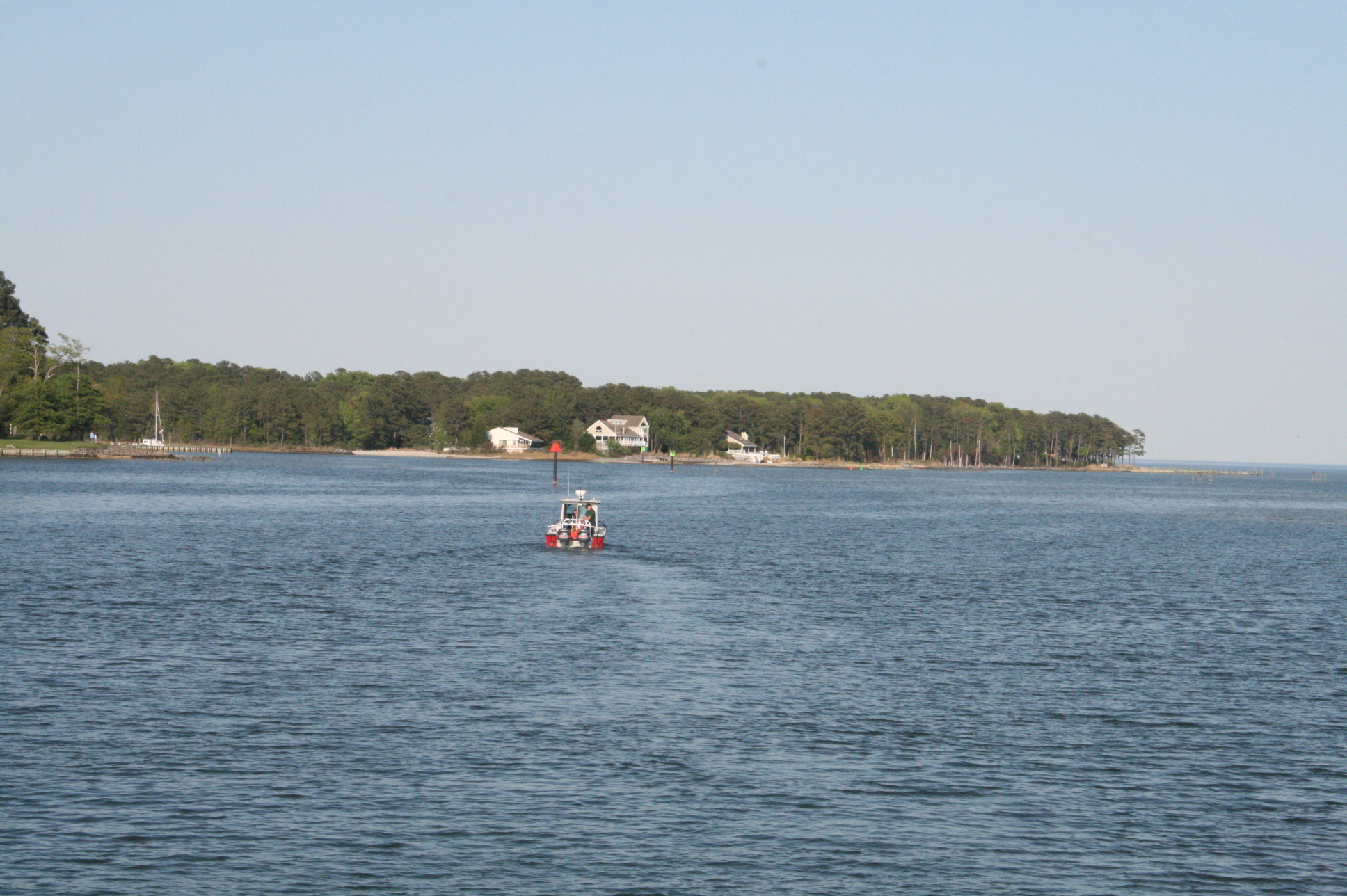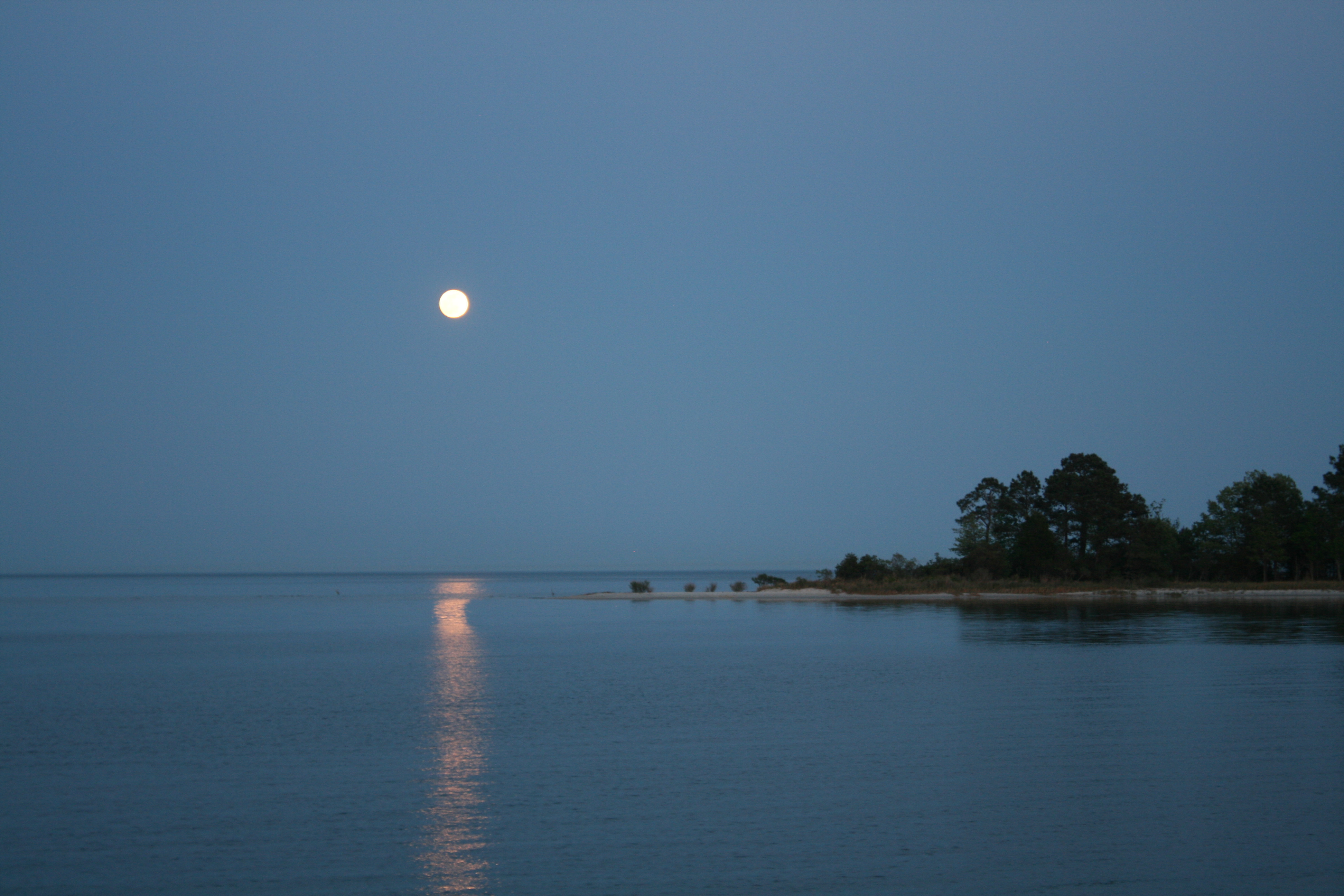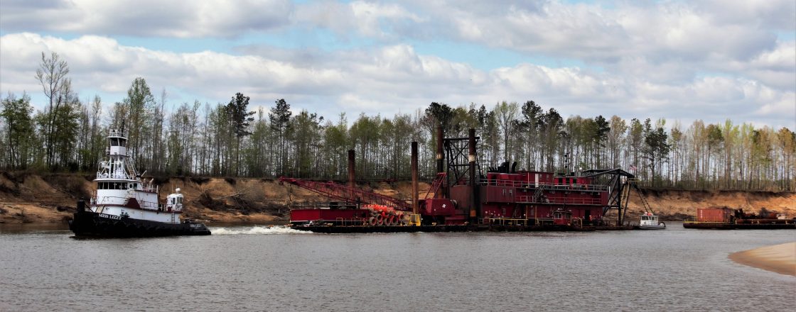
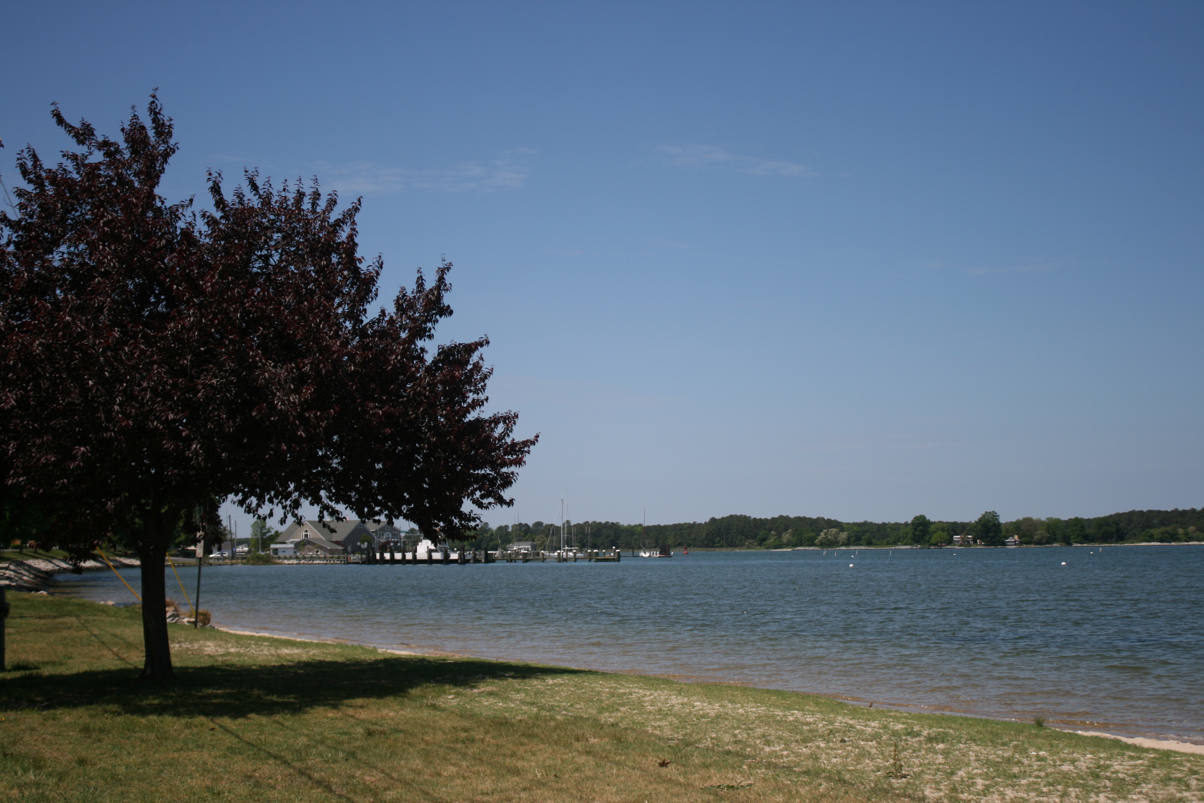
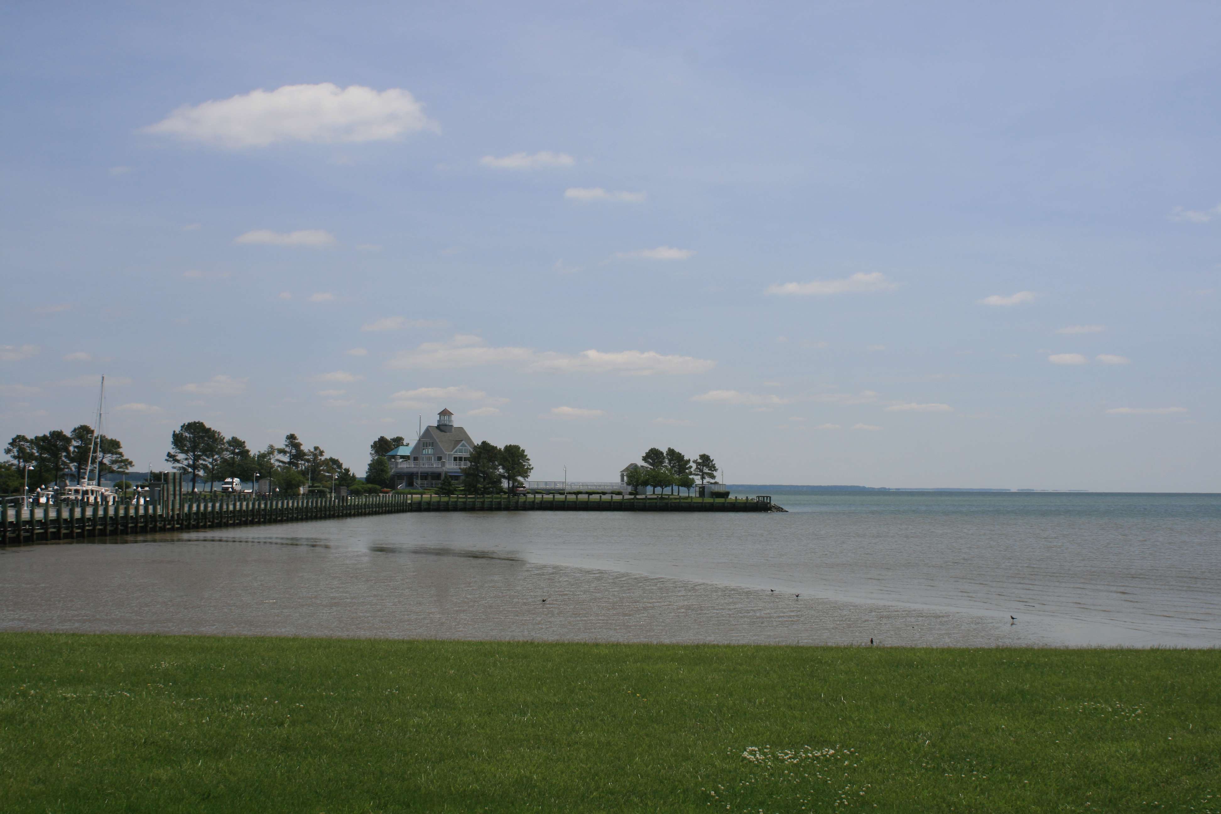
At last the winds died down, and we had some good views of Solomons as we travelled back down the Patuxent River from St Leonard Creek to the Chesapeake Bay.
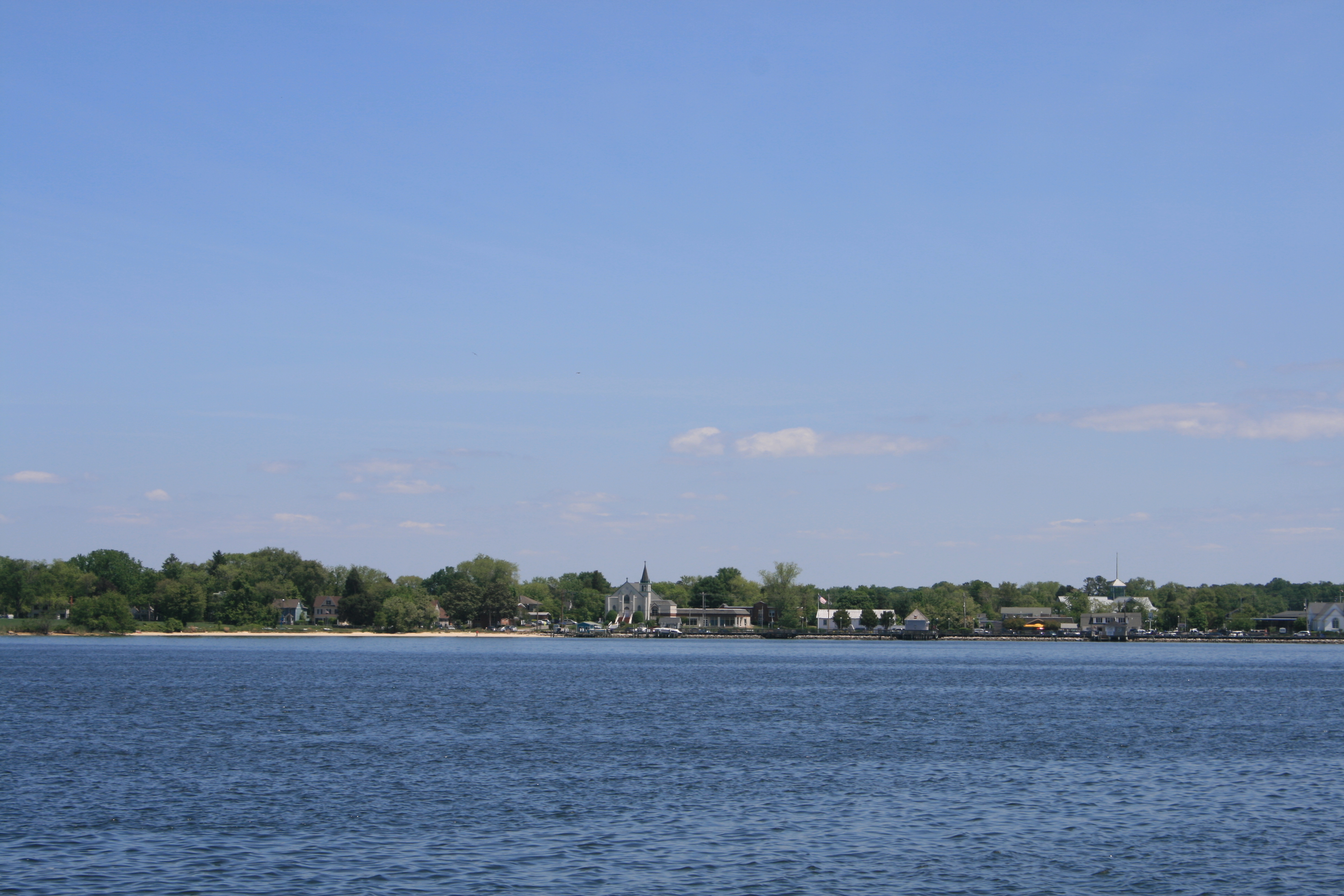
Solomons from the Patuxent River
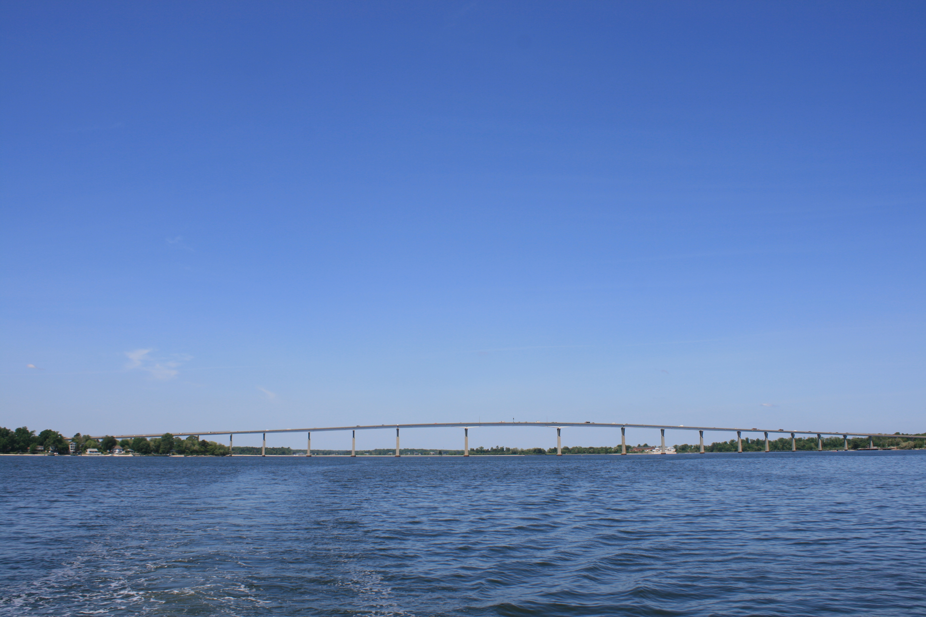
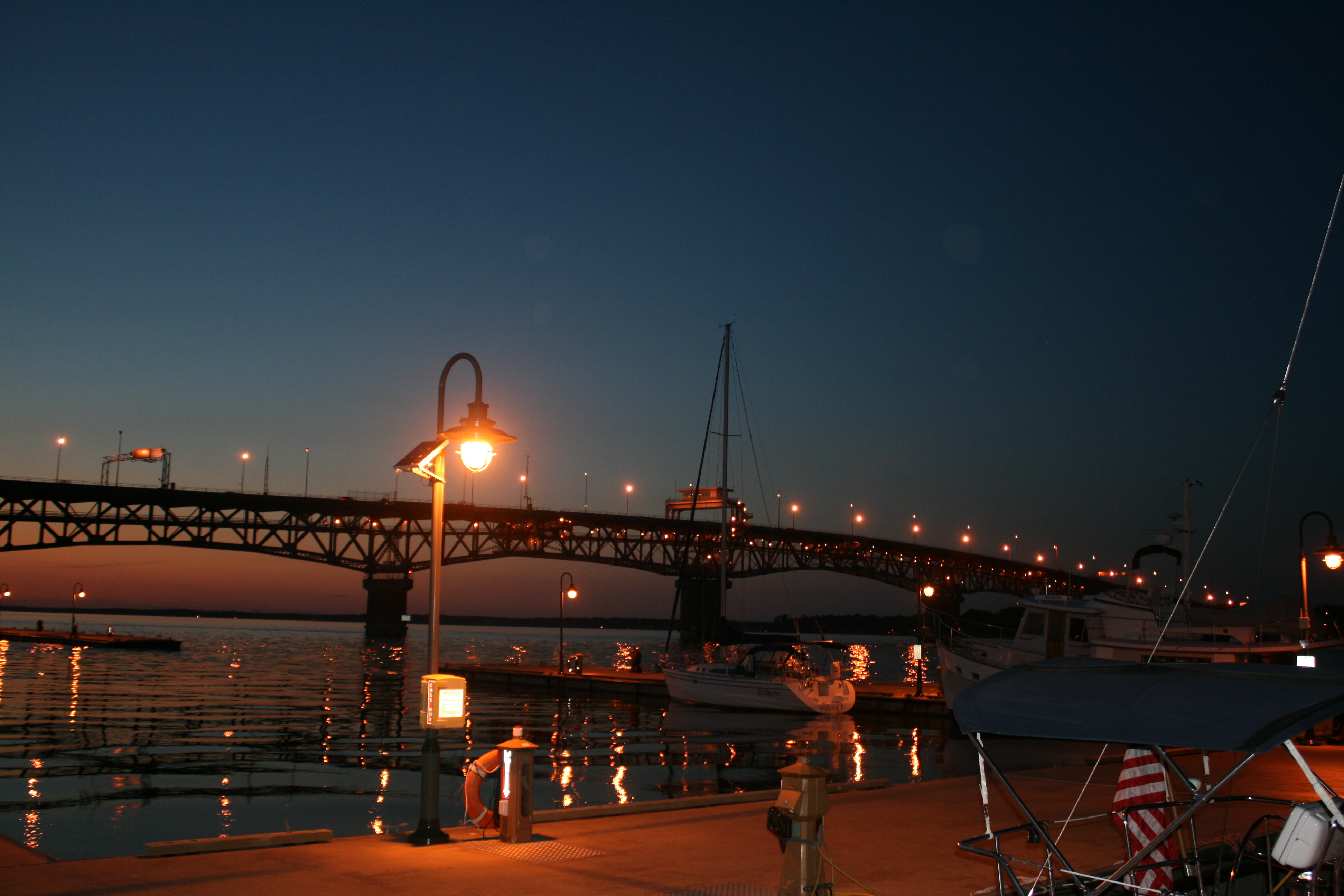
Thomas Johnson Bridge, Solomons
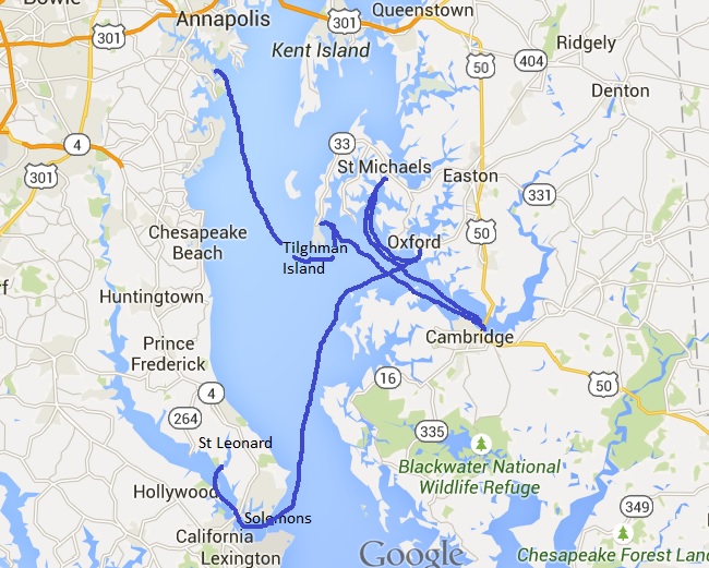
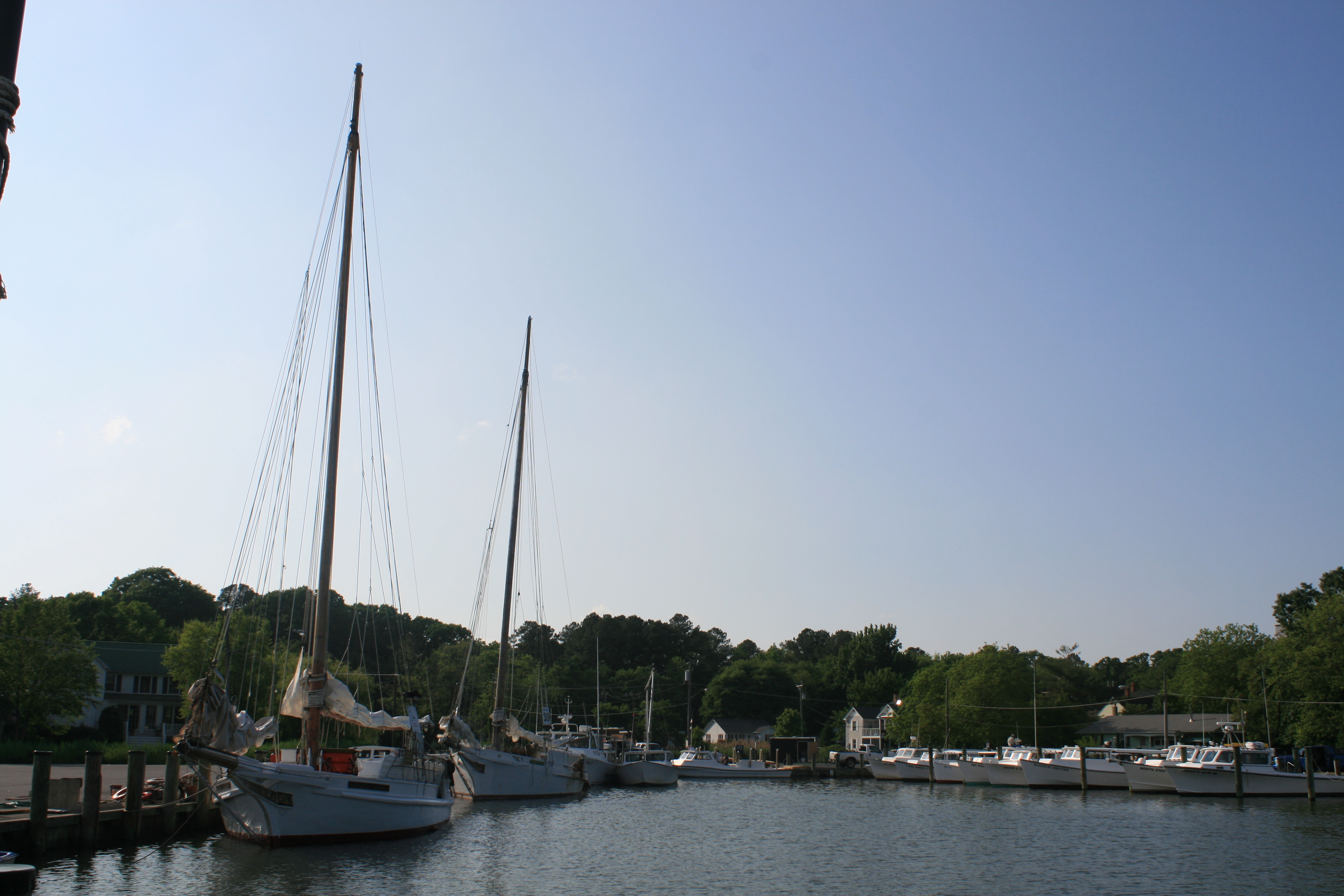
Our arrival at Oxford was even more challenging than our arrival at Smith Island had been. Ian had phoned ahead to the Oxford Yacht Agency, and John, the owner, had confirmed he had space for us. But he was going out, to a party, so we’d have to dock unaided. This might not have presented too many difficulties, had the jetty poles not been about twelve feet high. My days of shooting netball goals are long past, and I made several futile attempts to lasso the poles, while Ian circled around three times, before some lateral thinking suggested that hoying the rope around the post, and grabbing the other end with the boat hook, might be more effective.
A short time later, we were greeted, rather apologetically, by Roger and Ann who were moored in a nearby slip. John had asked them to look out for us and give us a hand, but they hadn’t noticed us coming in. They were Great Loop veterans themselves, and gave us some useful advice about the Mississippi River – best avoided, it seems, as far as possible!
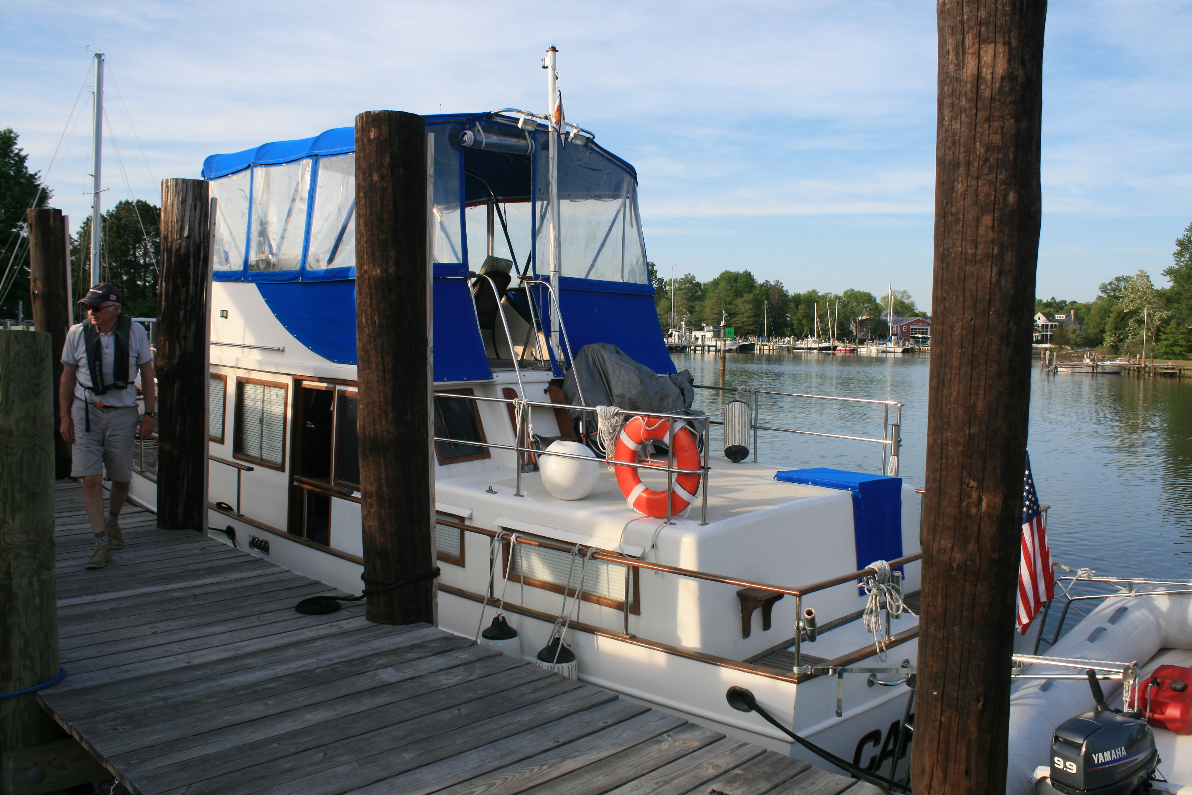
Moored up at Oxford. Note height of poles.
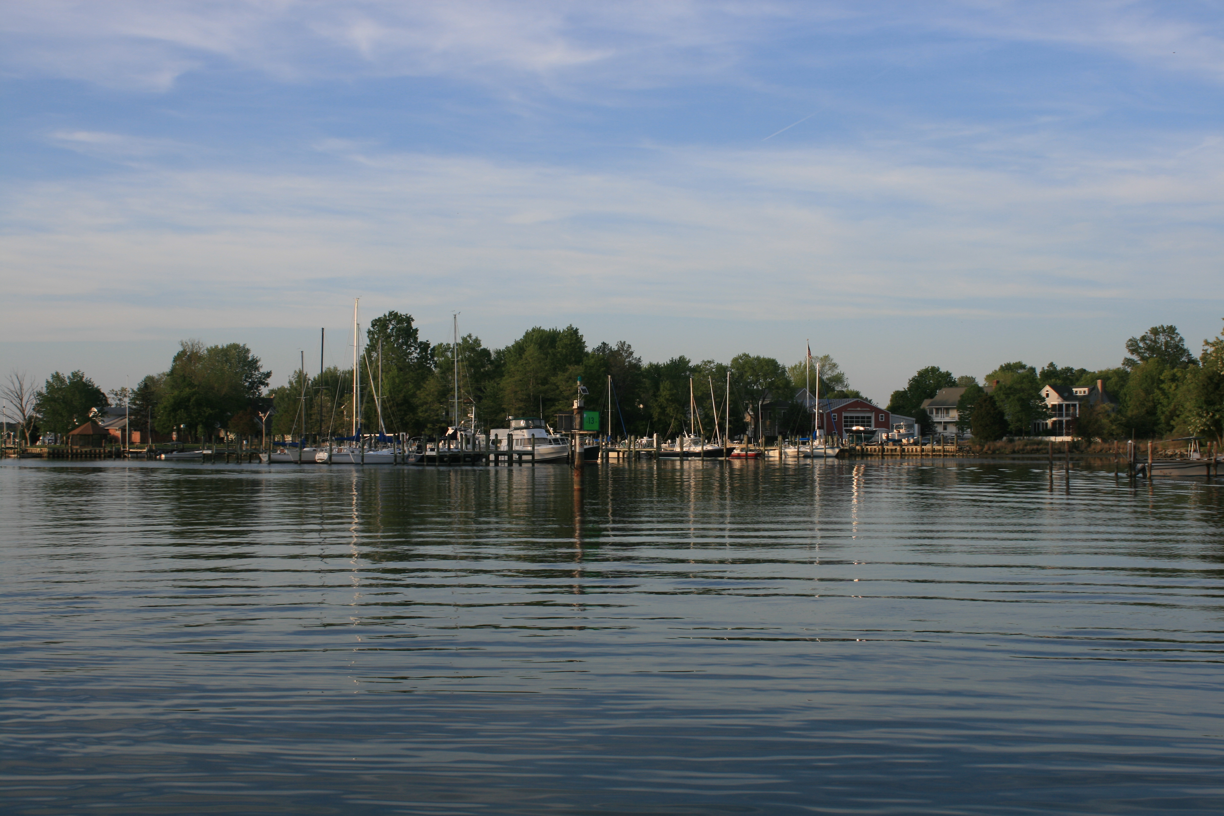
View from the mooring at Oxford – early evening sunshine
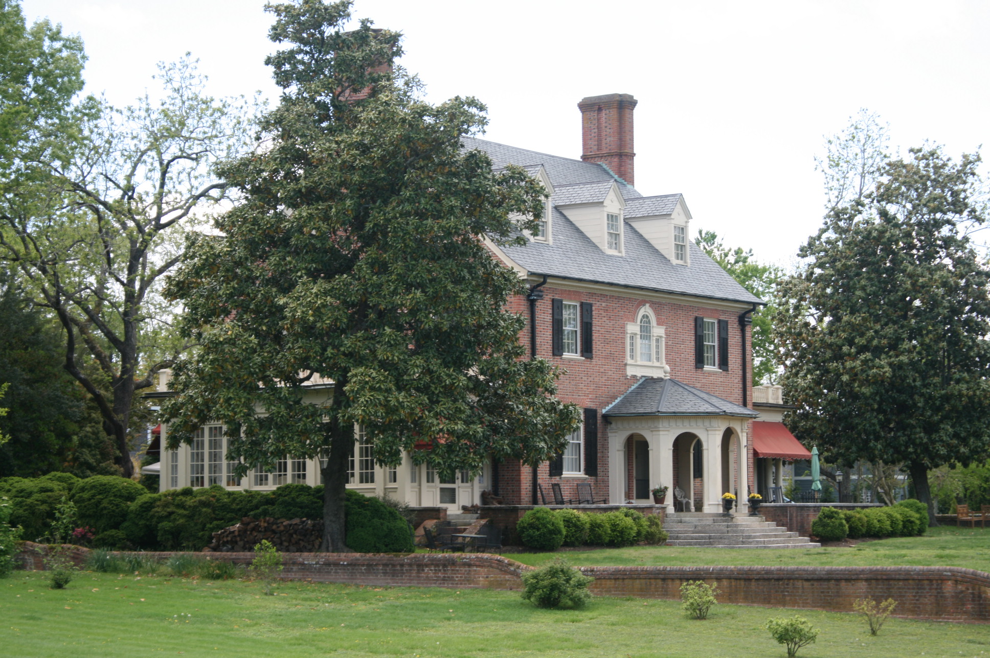
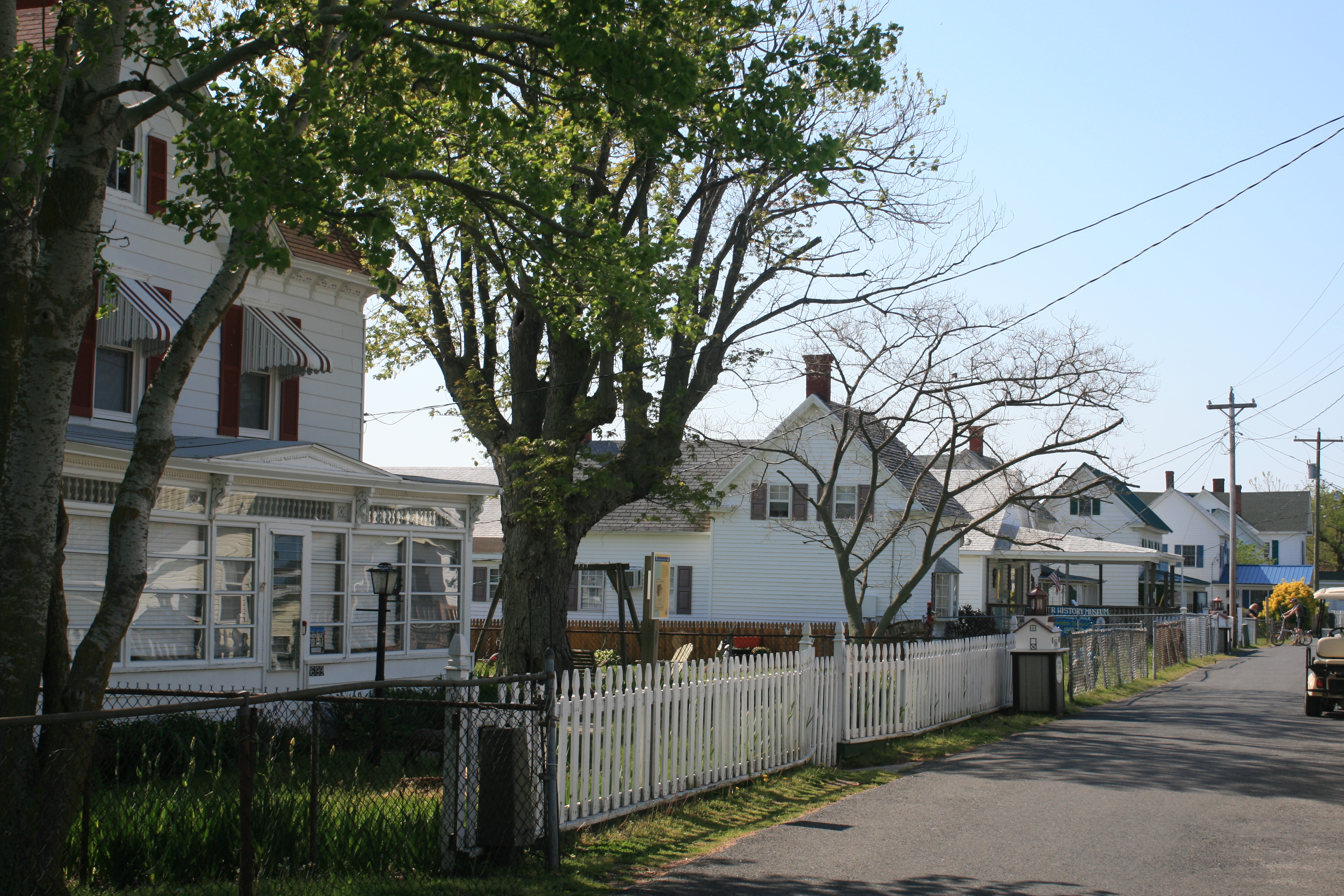
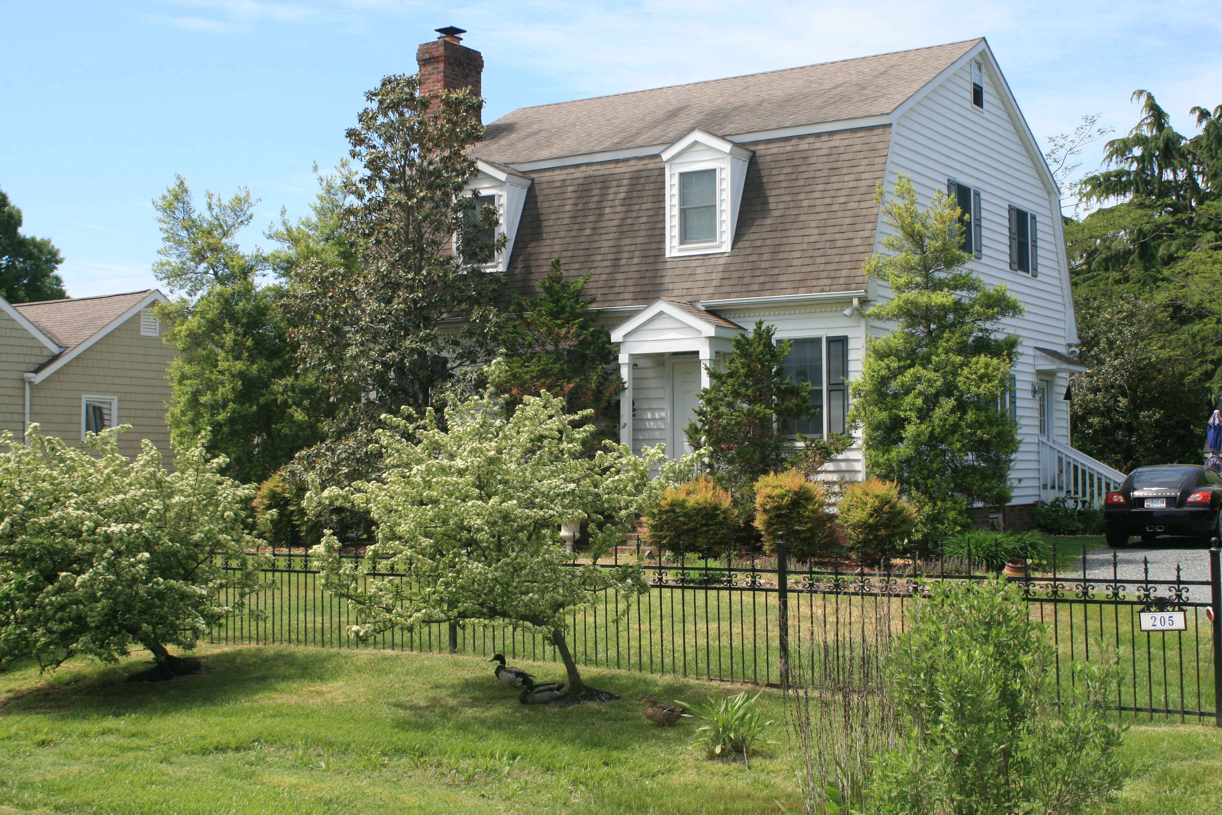
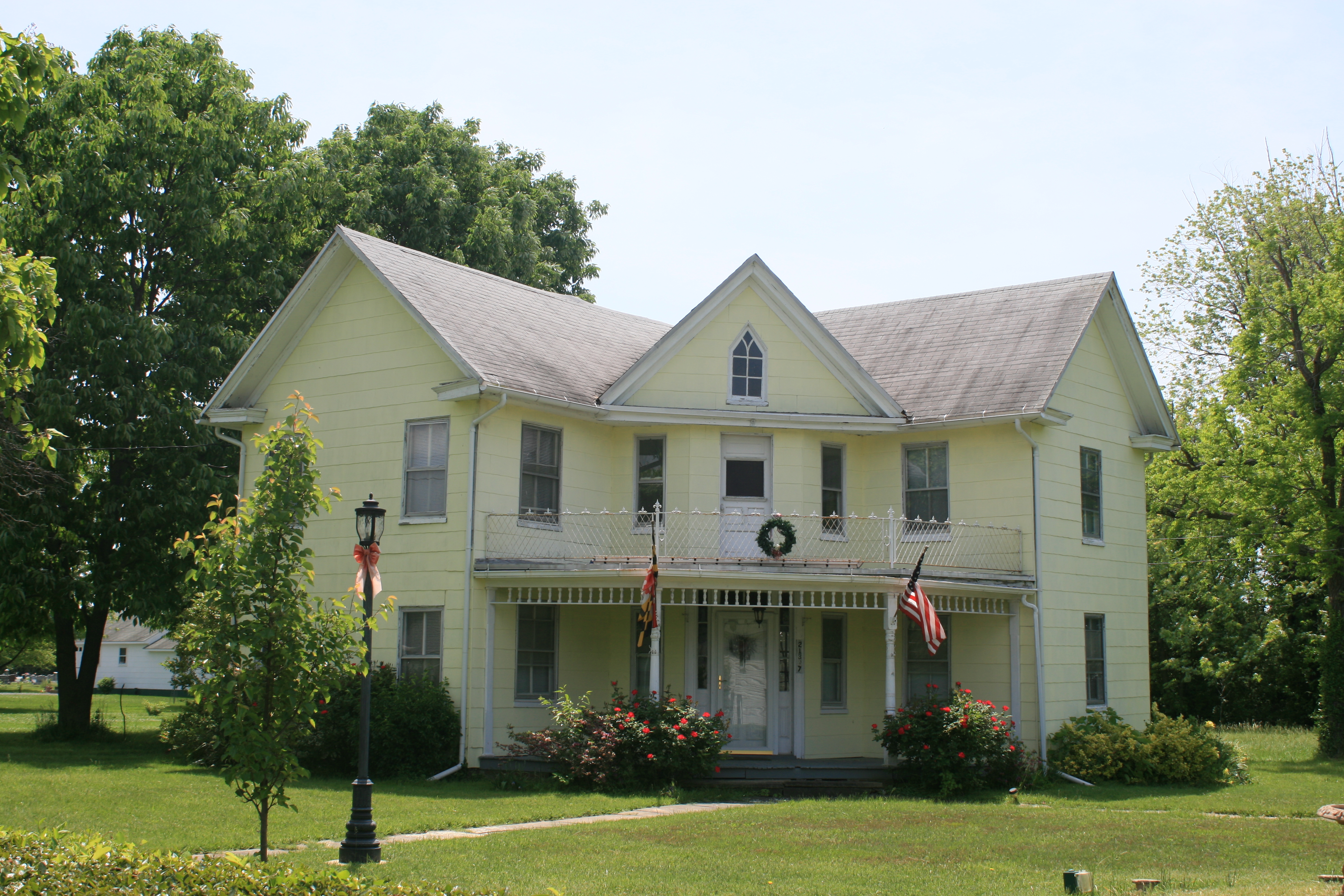
Oxford was a delight.The residents seem to take a keen interest in gardening and we saw some very pretty gardens in front of the gracious Victorian homes. The gentleman who lived next door to this house told us that his wife and her friend were actually at the Chelsea Flower Show at that very moment.
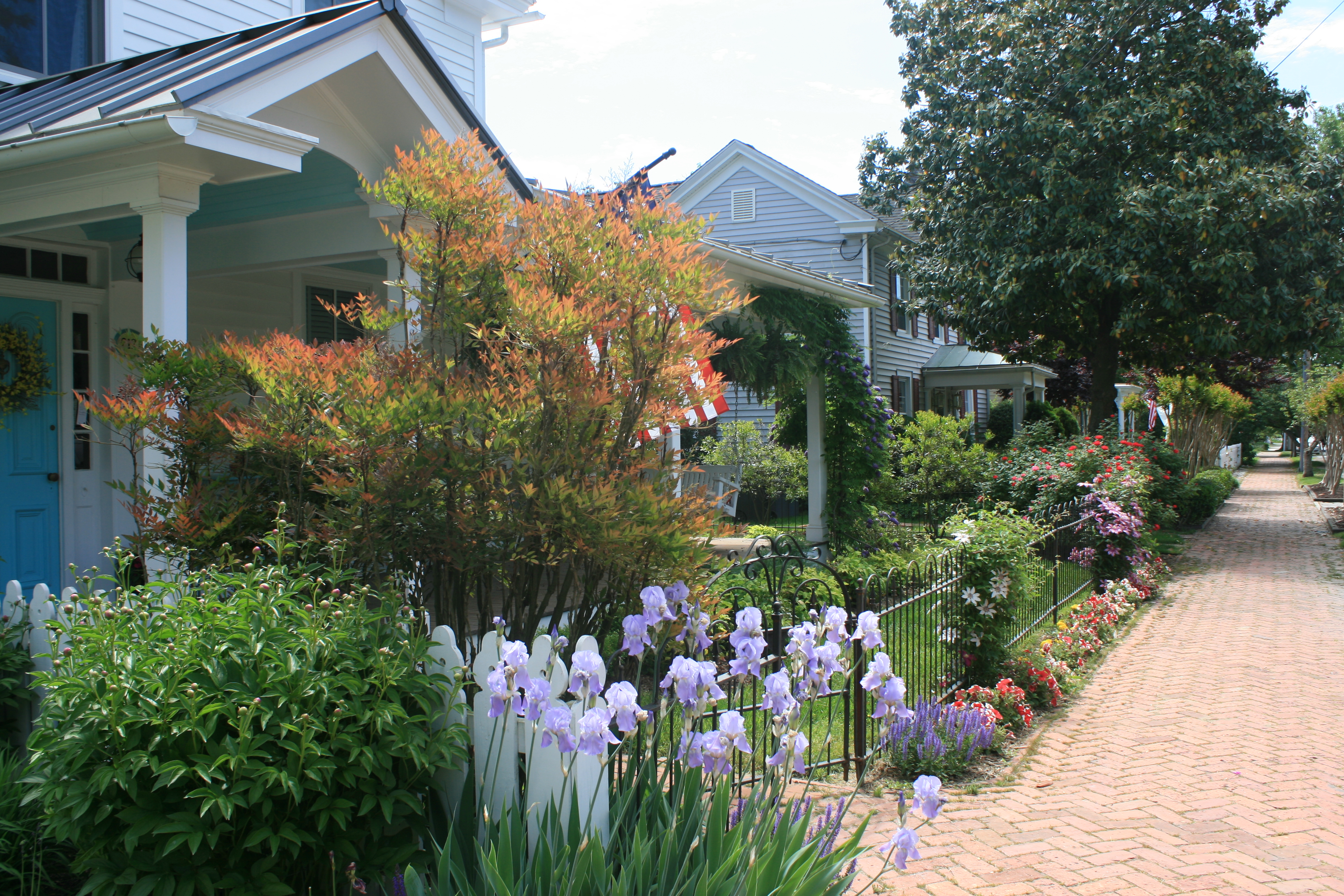
Front gardens, N. Morris St, Oxford
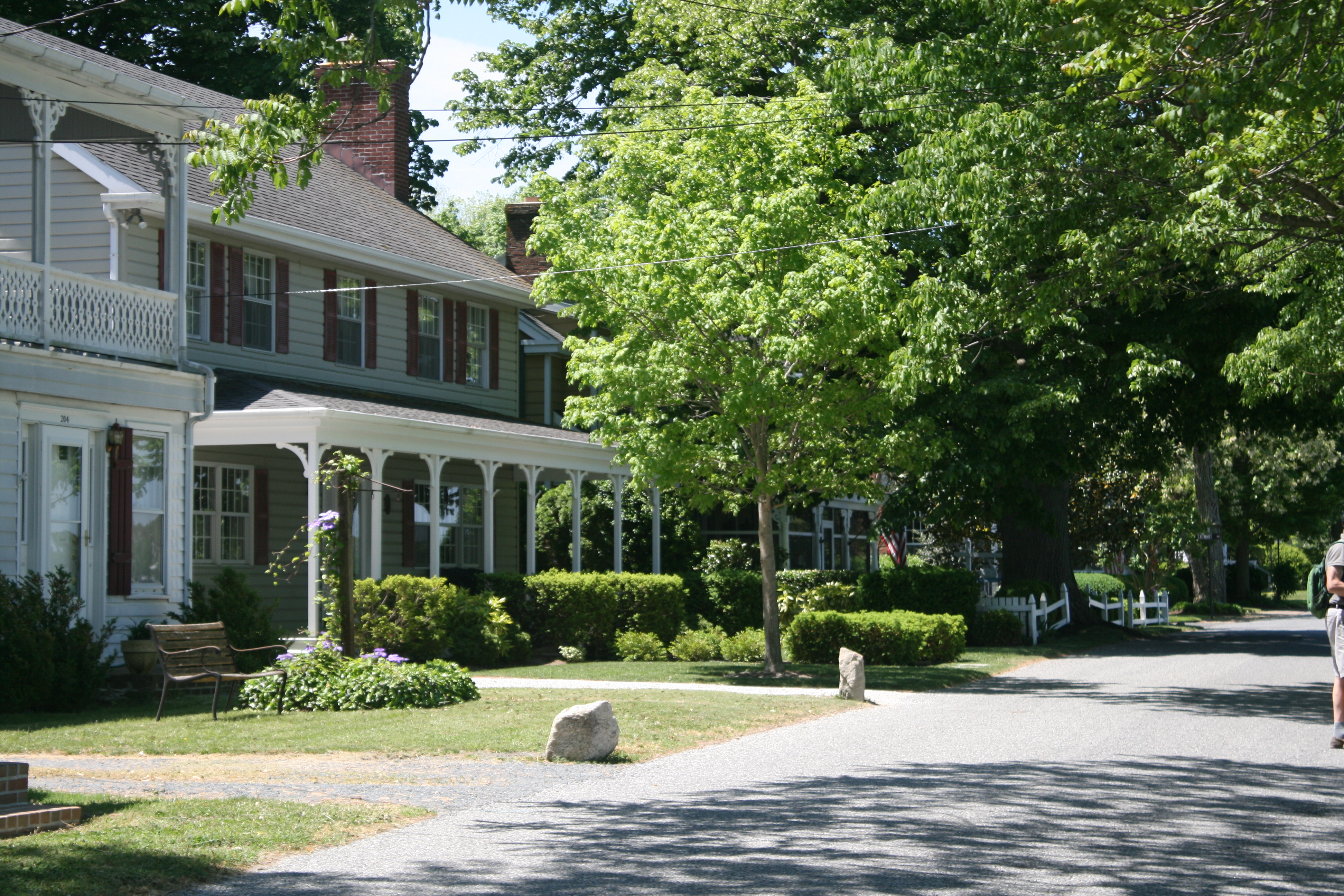
Oxford occupies a small peninsula at the confluence of the Tred Avon and Choptank Rivers. We had a leisurely bike ride round the village, passing by the small beach known as the Strand.
Overlooking the Tred Avon River at the end of the peninsula
The Strand, Oxford

The Strand, Oxford
At one point we had to stop our bikes in one of the back streets, and a lady had to stop her car, to allow a small family of ducks to waddle across the road. They are just visible in the foreground of the next photo!
House on the Strand
Oxford has an annual auction of decorated picket fences, which might sound a strange concept to British ears. The picket fences are painted by local artists and displayed outside local businesses, until October, when they are auctioned and the proceeds donated to the charity chosen by the artist.
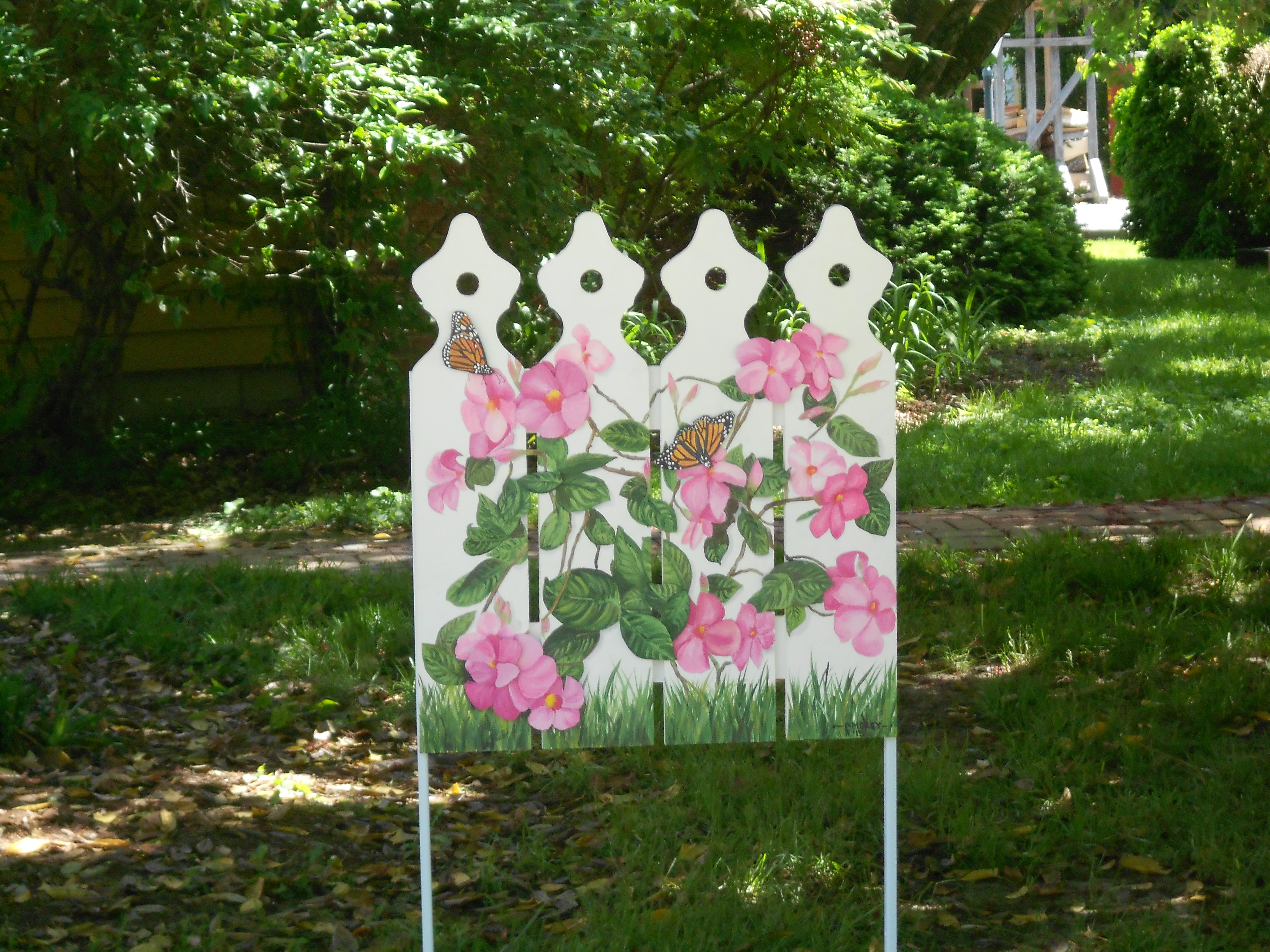
Decorated picket fence – The Root of the Matter
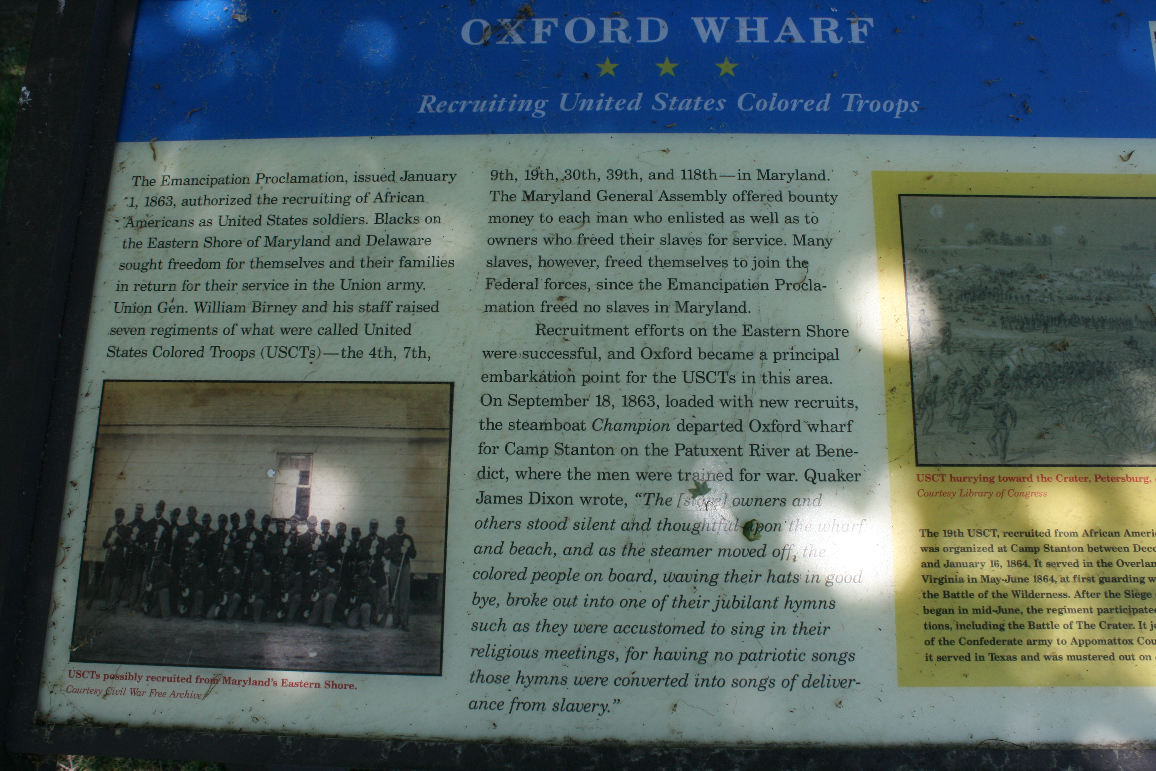
Oxford was an embarkation point in the 1860s for freed slaves who were then recruited into the USCT.
There’s a small car ferry which goes from Oxford to Belle Vue on the other side of the Tred Avon, and in the afternoon we took the bikes over and cycled through the country lanes. The area had houses dating back to the 17th Century, but nowhere to get any refreshment, so we had to wait till we were back in Oxford to try the delights of the Highland Creamery ice-cream at a small kiosk overlooking the river.
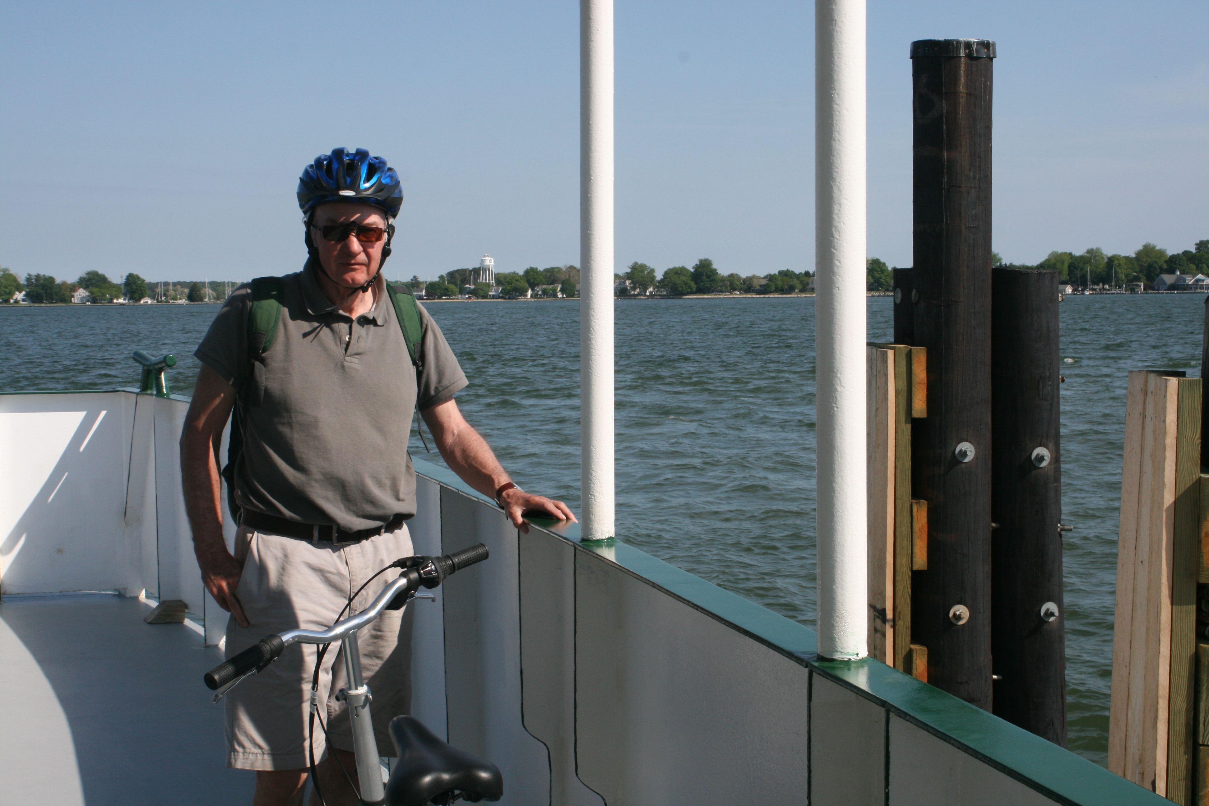
Coming back from Belle Vue on the ferry
The following day we cruised to St Michaels, another village on Maryland’s Eastern shore, but with a very different vibe from Oxford. It too has grown up along a peninsula and the marinas were all on the northern side, but there was an anchorage in the sheltered San Domingo Creek just south of the village. We moored there and took the dinghy across to the public jetty.
As we were walking up from the shore towards the village, we were passed by an elderly couple reversing their truck at speed along the narrow road. There was a loud crash as the truck drove into a stationary Toyota. The couple got out of the truck, surveyed the damage, and the woman burst into tears, wringing her hands and wailing loudly in a way that suggested it might not have been the first time her husband had perpetrated such an incident. We were spared the dilemma of whether to intervene, or offer assistance, by the appearance of the Toyota’s owner who came running down the street, and we left them to it.
In contrast to Oxford, St Michaels had lots of shops and perhaps because it was Saturday, the streets were thronged with people. The presence of a decent supermarket was something of a relief, after nearly a week of no shops except the Oxford Market, which had only the very basics.
We made our way round the harbour, and outside the Maritime Museum was a replica shallop, the sort of small craft Captain John Smith used to explore the rivers of Chesapeake Bay in 1608.

Replica shallop at St Michaels
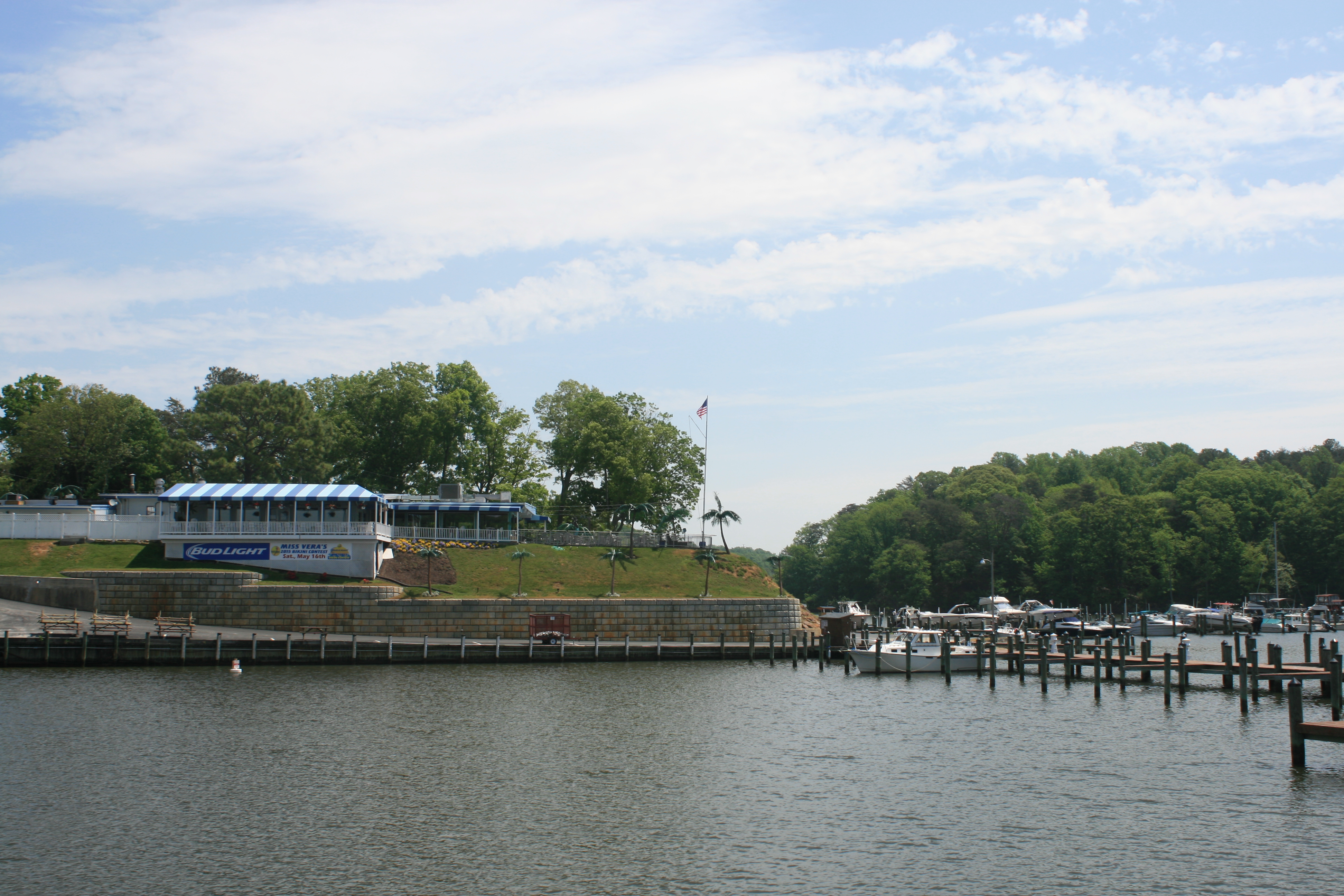
Then we had a beer at the Crab Claw Restaurant and watched the boats coming in and out of the busy harbour.
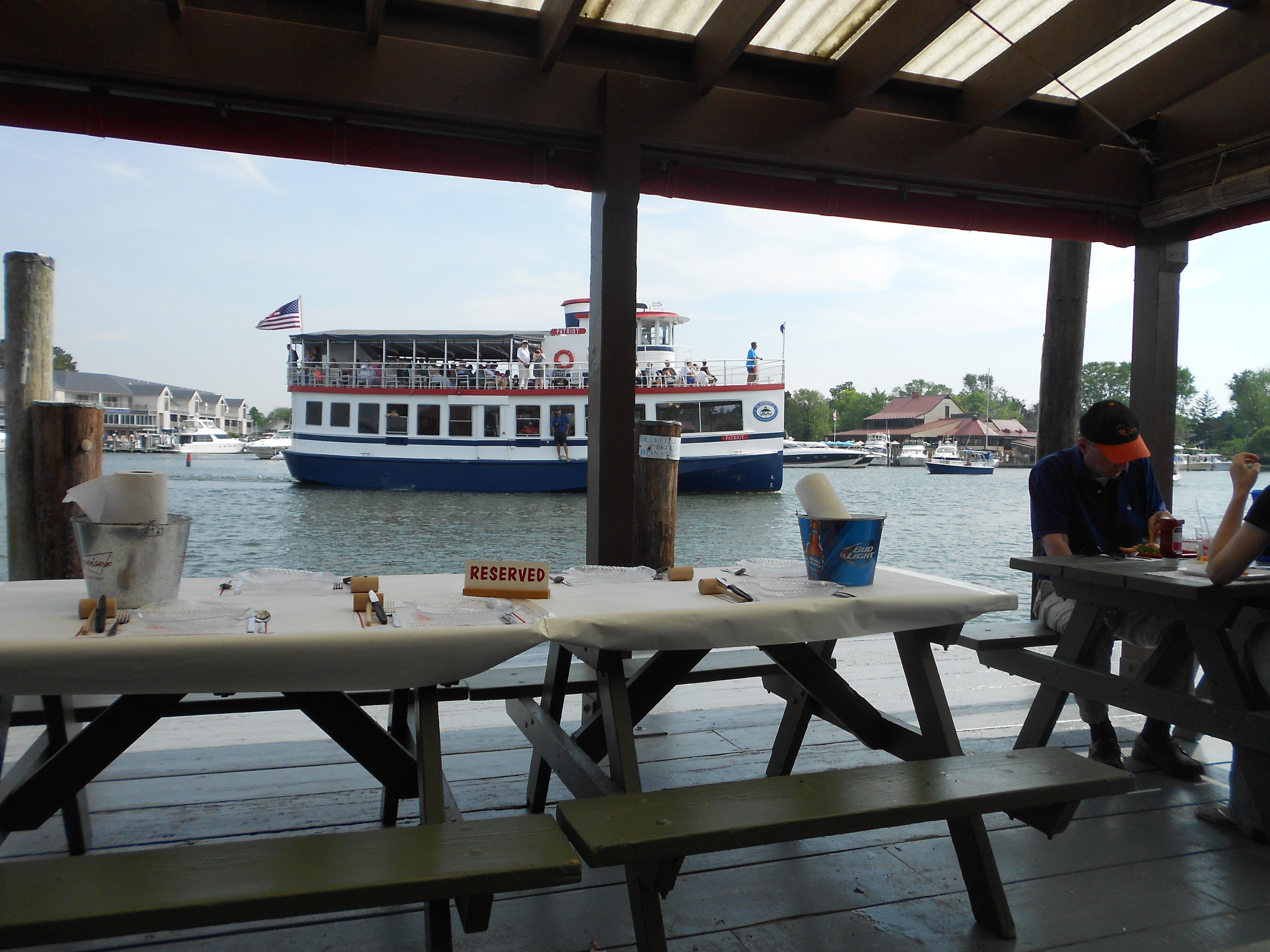
The Crab Claw Restaurant, St Michaels
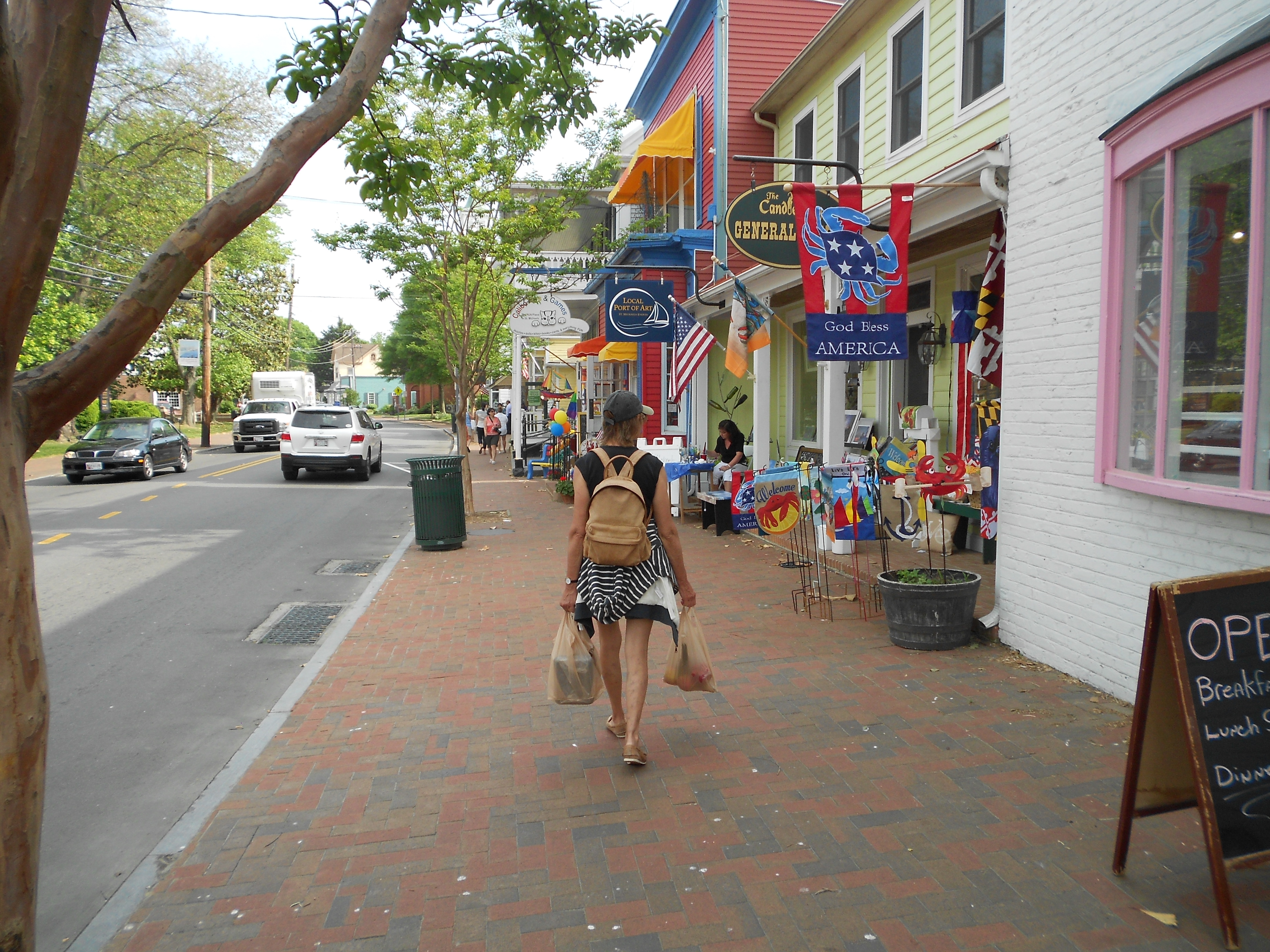
S.Talbot St, St Michaels
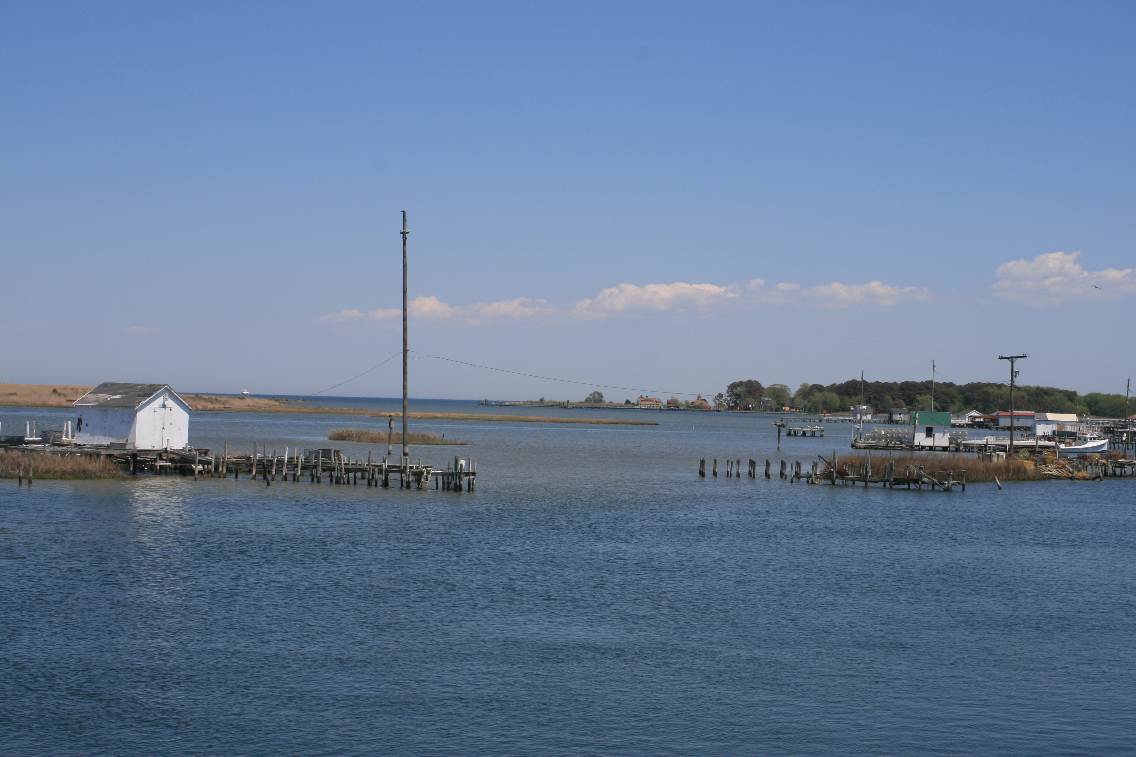
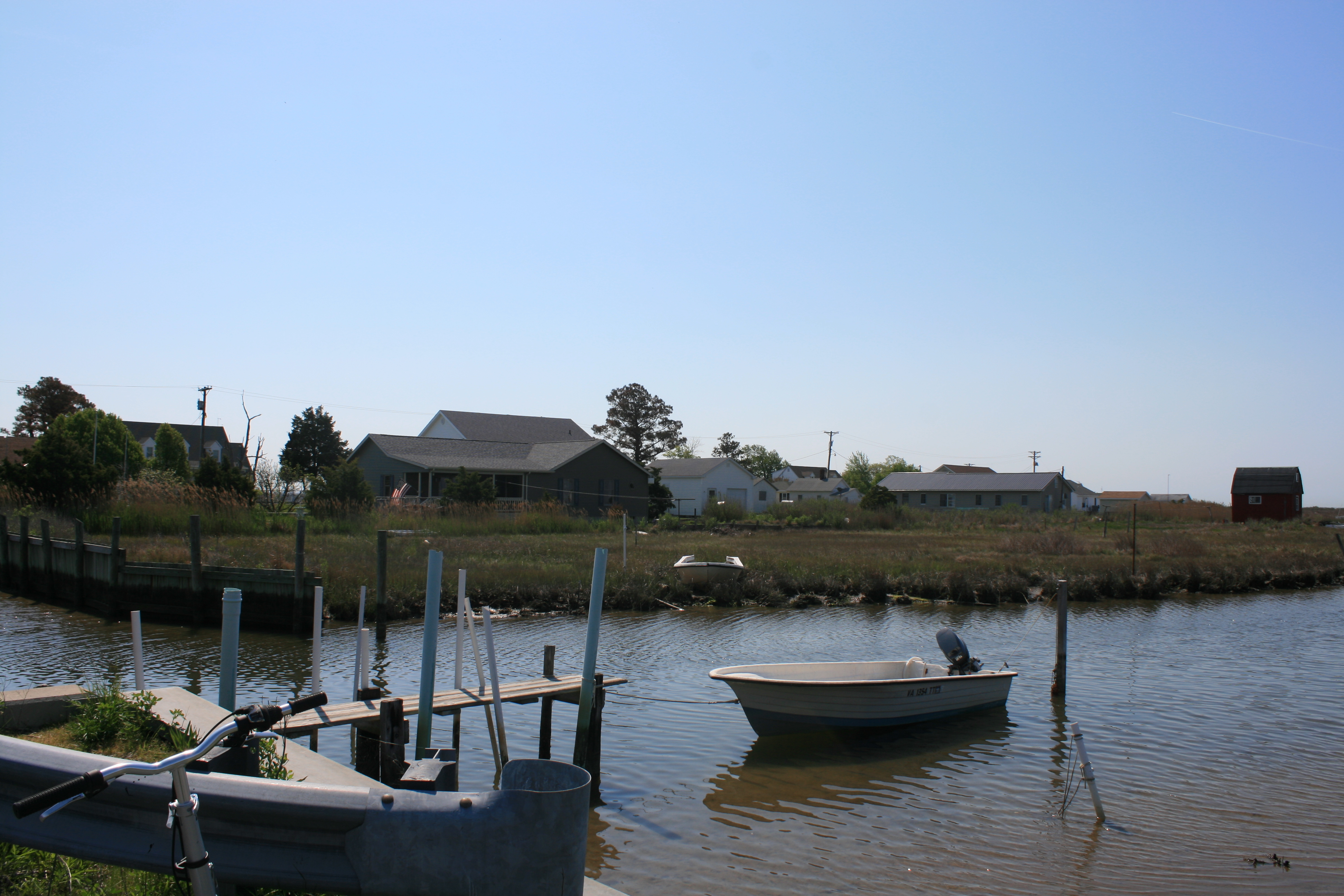
When we got back to San Domingo Creek, I stopped to photograph some fishing boats and Ian started chatting to Johnny and Benny who were sitting in their truck, surveying the view of the creek. Benny was a waterman and gave us the welcome news that as the next day was Sunday, we wouldn’t be woken at four in the morning, as it was the watermen’s day off.
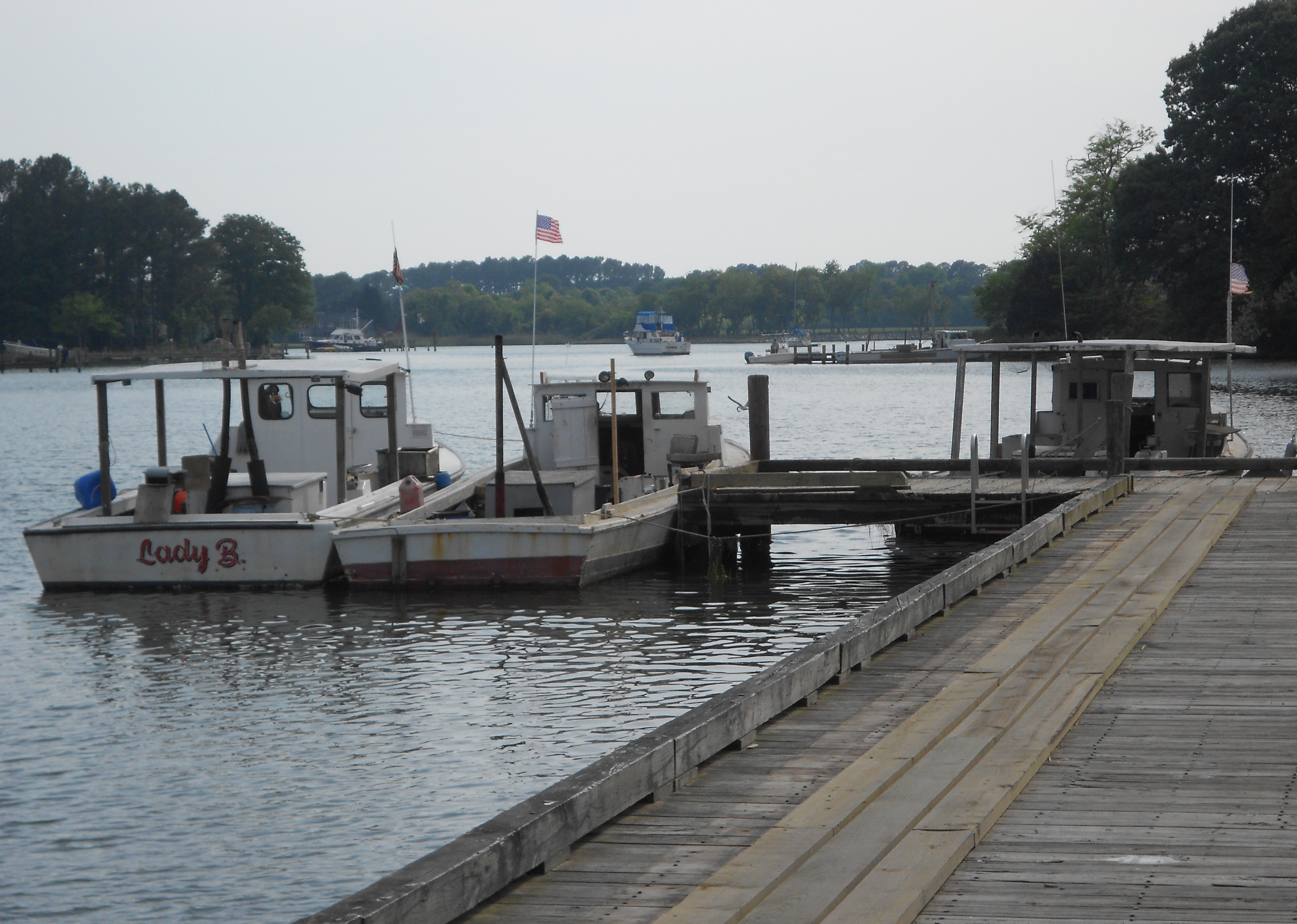
Fishing boats at San Domingo Creek
Instead, we were woken at intervals by brilliant flashes of lightning, resounding thunderclaps, and heavy rain hammering on Carina’s roof.
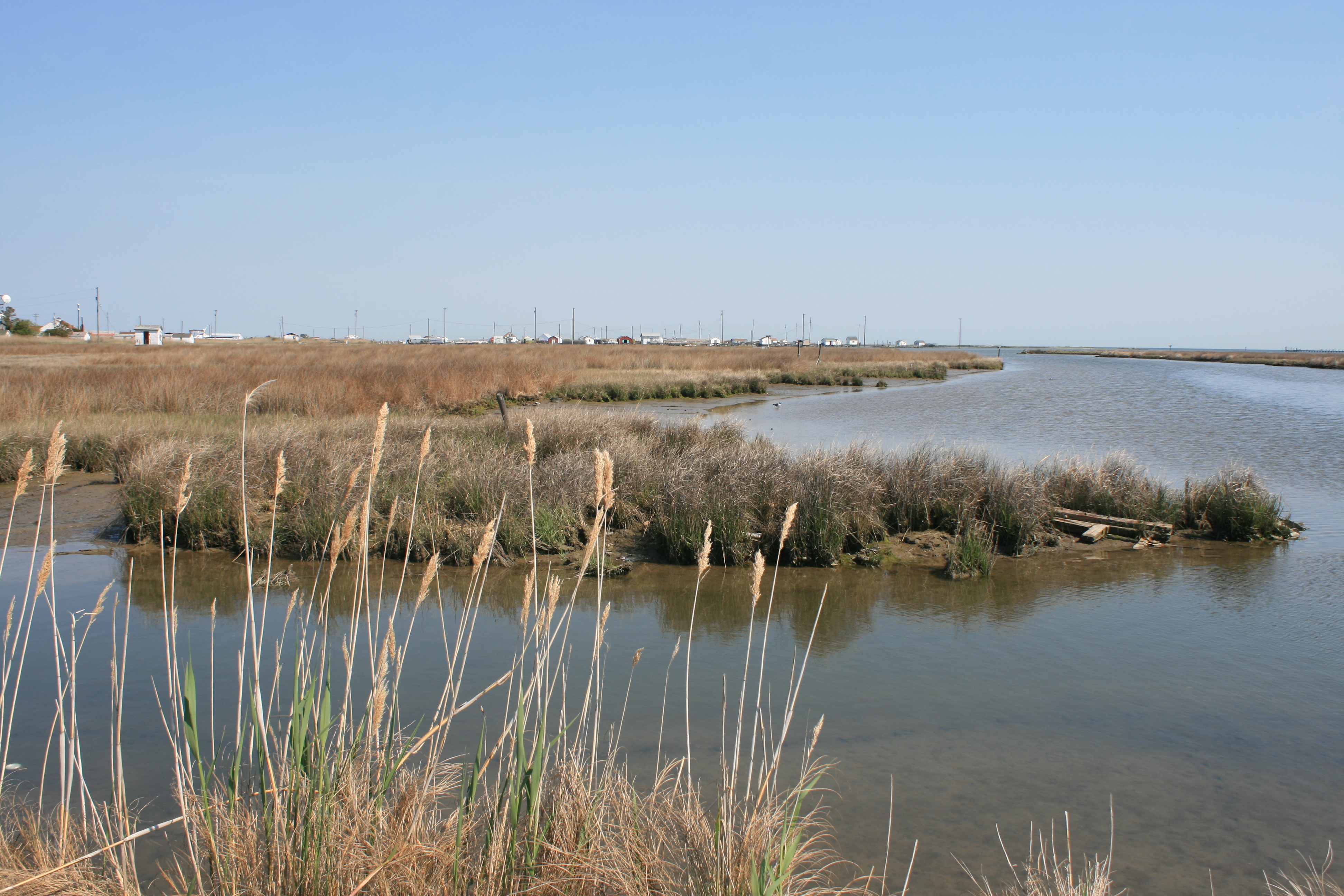
On Sunday morning, the creek was still and misty after the storm, and we moved on to Cambridge.
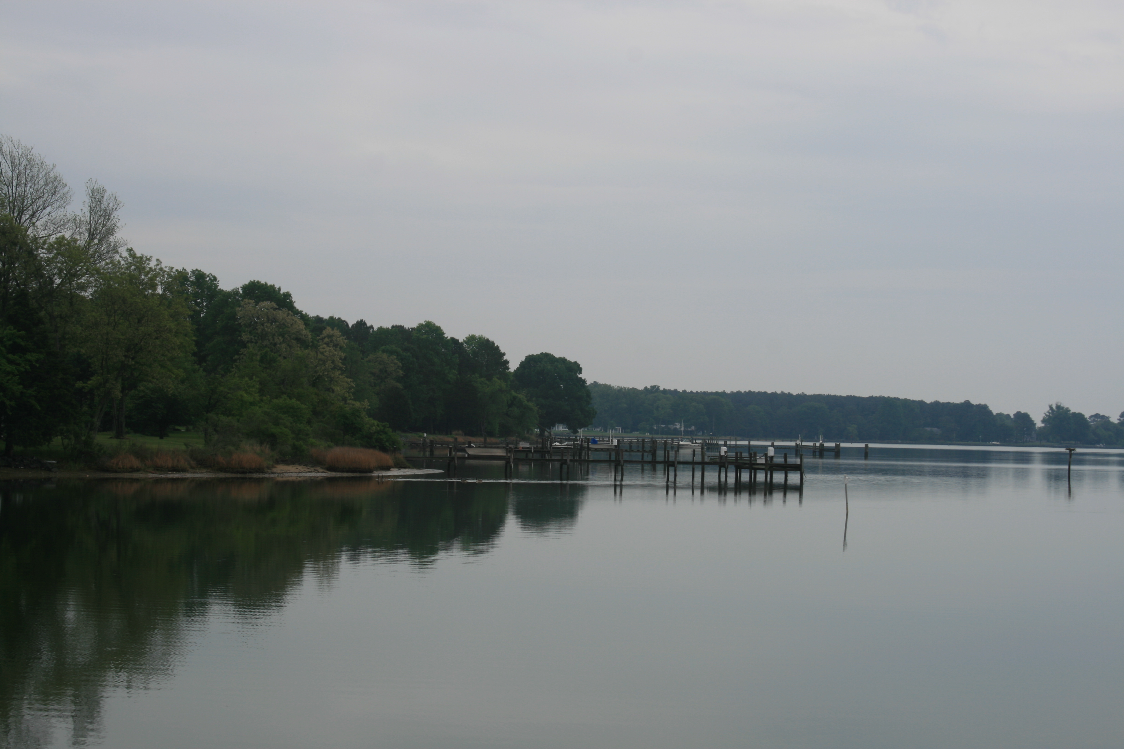
Leaving St Michaels – the San Domingo Creek
The sun had come out again by the time we got to Cambridge Municipal Marina.

Boats at Cambridge Municipal Marina
Cambridge is a town rather than a village, and although it has some pleasant streets and buildings, it has some rather run-down aspects too as we discovered when we cycled three miles in the heat to Walmart, to replenish our wifi stocks. This impression was confirmed the next day when we biked round the downtown area. There are things to see and do in Cambridge, as long as it isn’t Monday. There’s the Harriet Tubman Museum, dedicated to the life of the woman who was born near Cambridge and who helped many thousands of African Americans escape slavery in the 1860s, and there’s the LaGrange Plantation, the base of the Dorchester County Historical Society. Both of these, and the James B. Richardson Maritime Museum, are closed on Mondays.
But towards the end of Race Street, after the smart buildings had ended and the burnt-out shells and abandoned businesses started, we found Center Market. Mr Simmons, the owner, was outside, piling up the fresh fruit and vegetables on display. He told us that the market had been in his family for four generations, since 1937, and in those days, it had been an open market behind the shop premises. Inside the shop, high above the shelves holding canned goods, bottled drinks, paper towels and cleaning materials, were the old weights and cash registers used in the market. He, and the woman on the till inside, were delighted to welcome someone from Cambridge, England, to their store and impressed that Ian’s mum still lives there.

Inside Mr Simmons’ store, Center Market
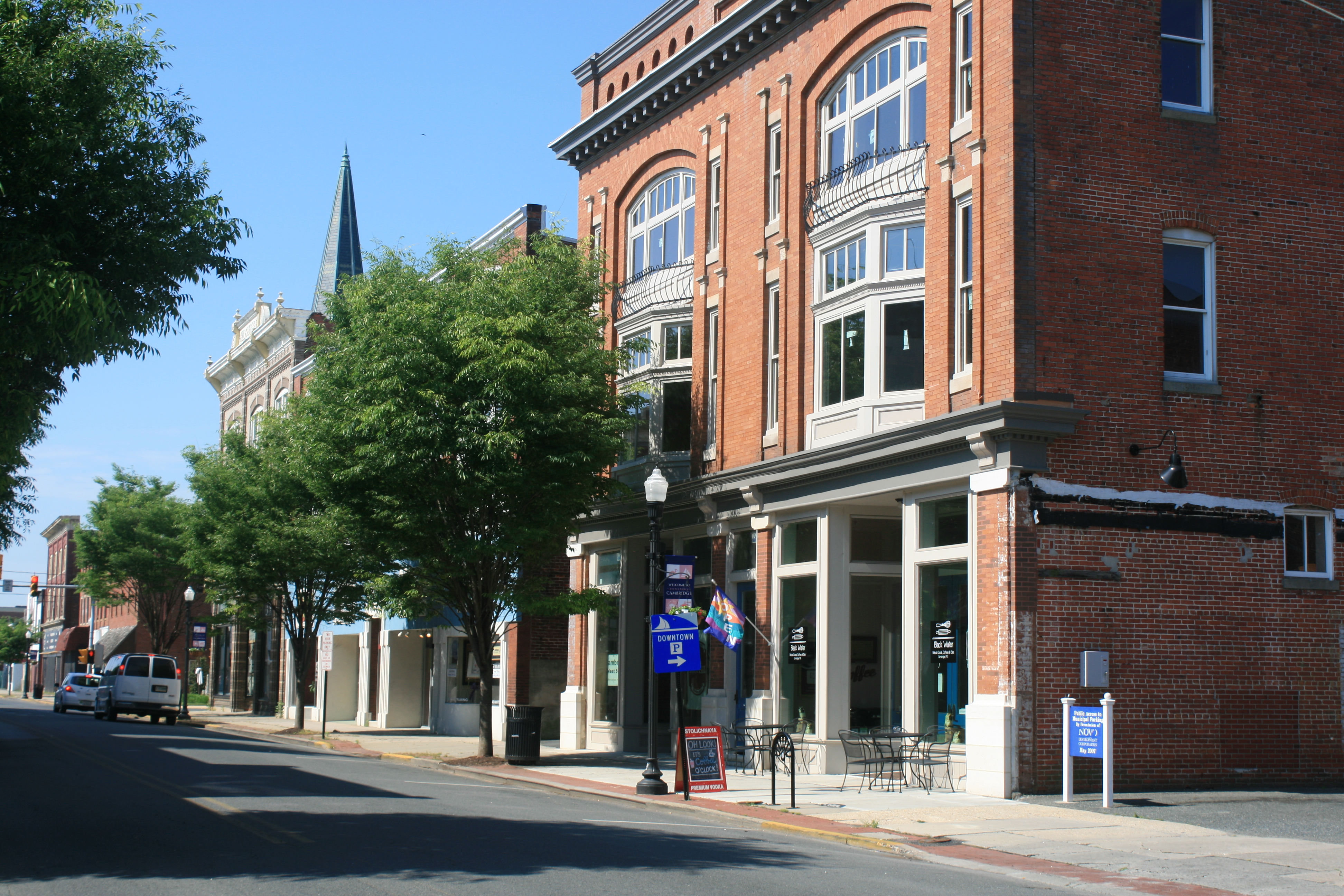
Race St, Cambridge
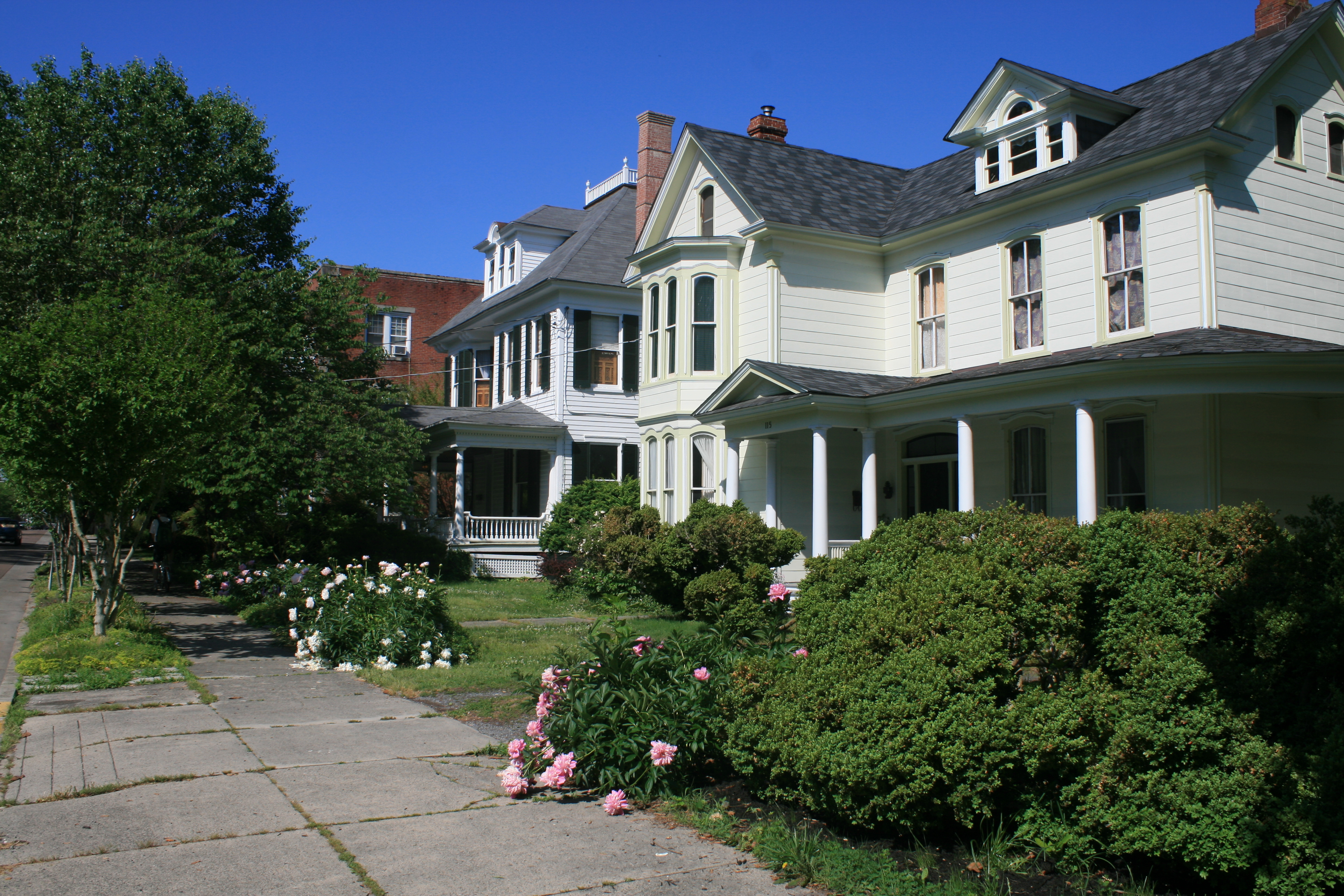
Victorian houses near the marina, Cambridge
Cambridge does have its good points. The young marina staff, Scott and Chris, were friendly and helpful, and we had a very good meal at the Highspot Restaurant, on High Street.
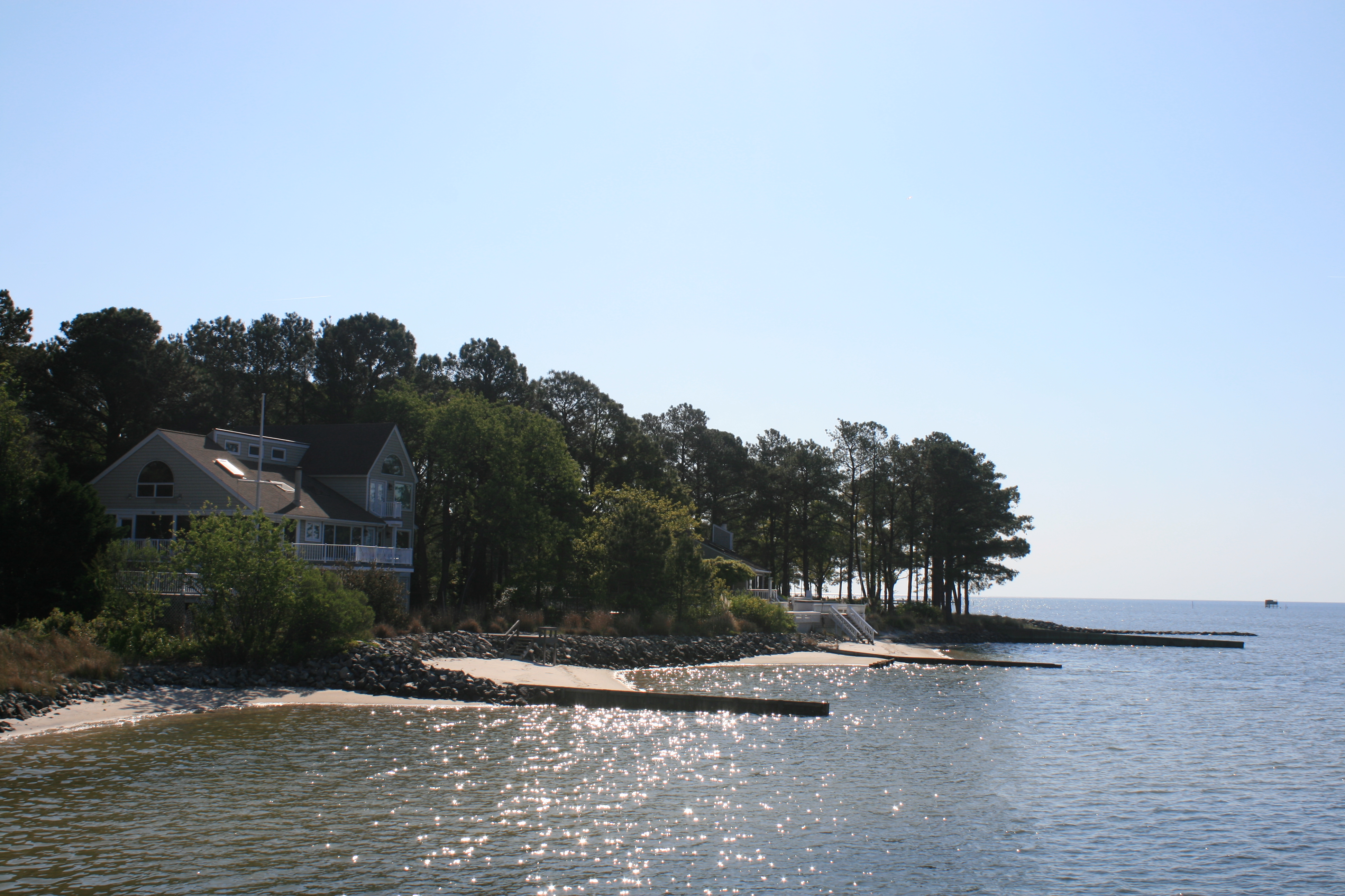
Our last stop on the Eastern Shore was Tilghman Island, so named after it was bequeathed to Matthew Tilghman in 1752. We had two nights at Tilghman on Chesapeake Marina, beautifully situated with views out over the bay.

View from the marina
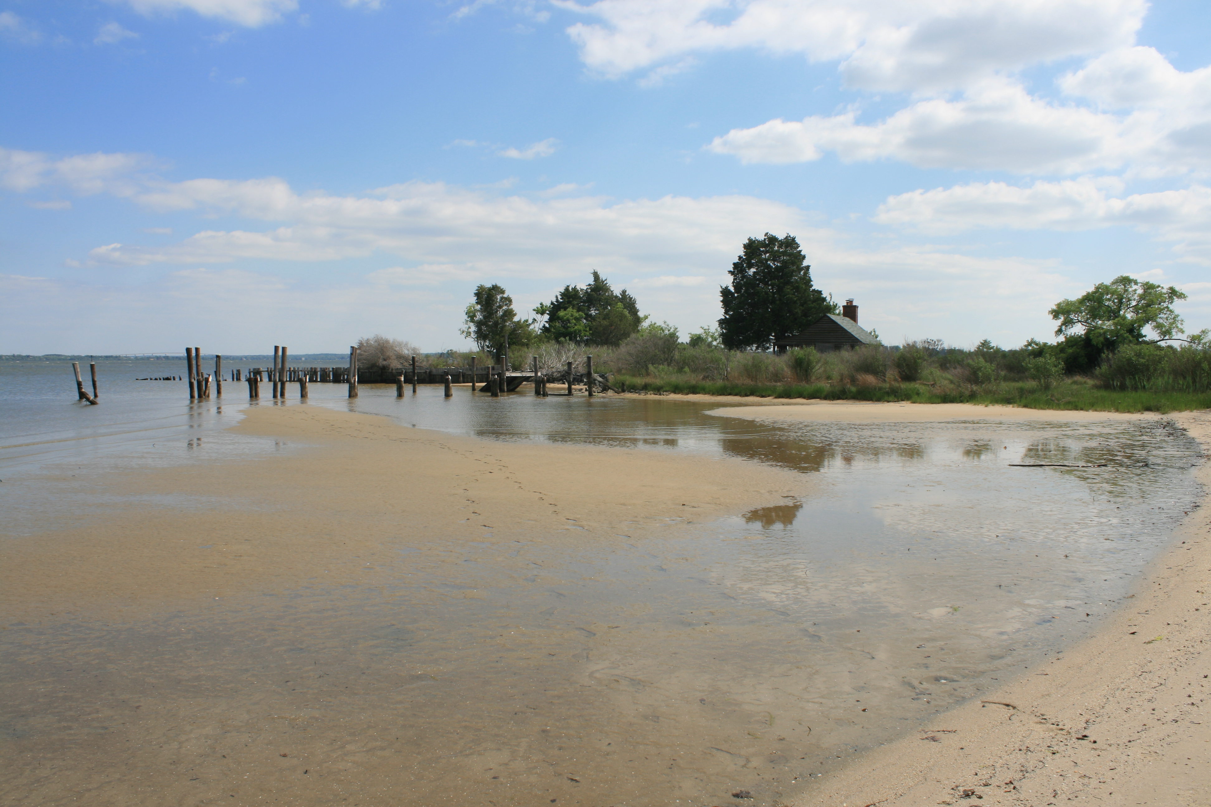
Low tide at Tilghman on Chesapeake
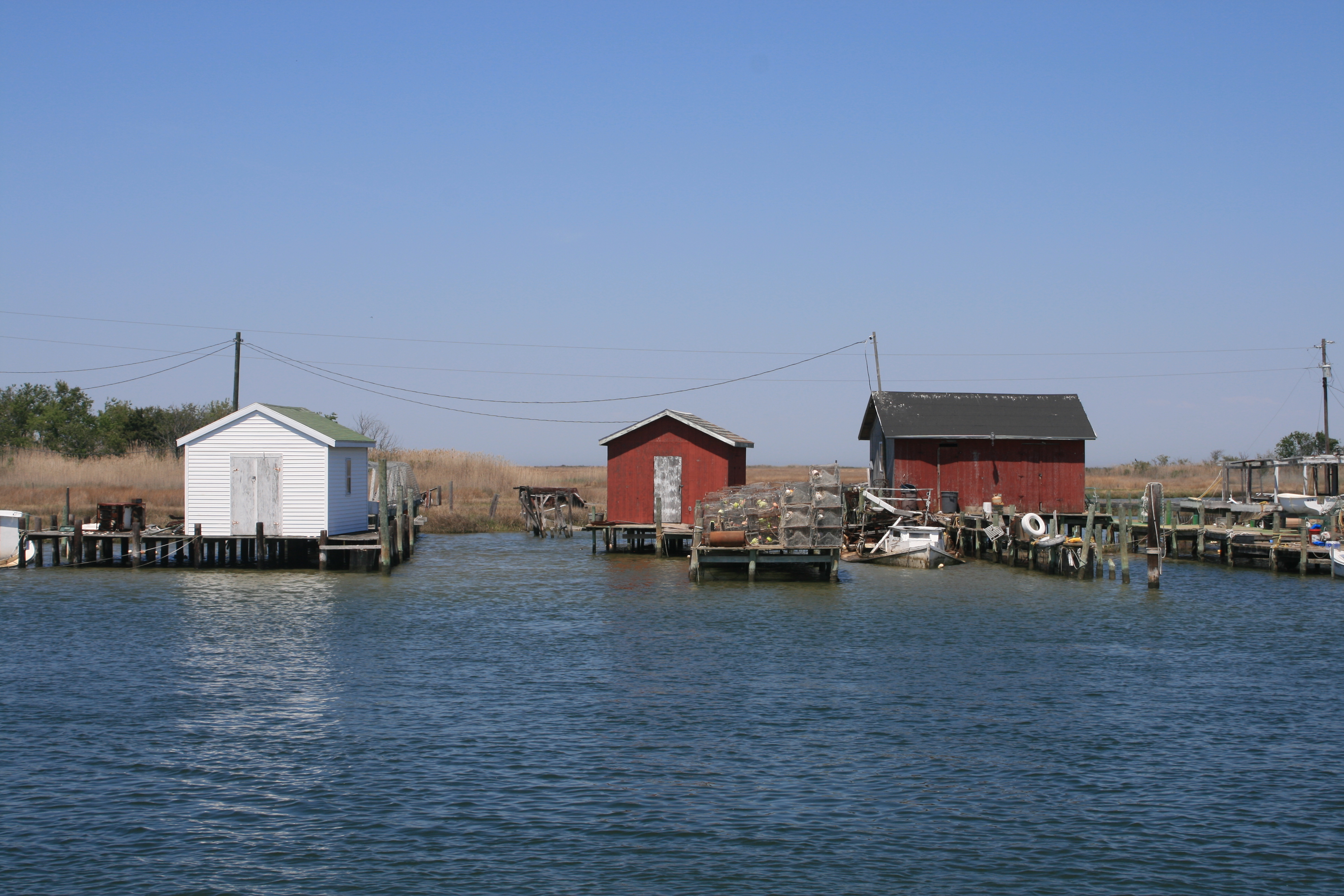
Tilghman has the largest working fishing fleet in Chesapeake Bay, and in recent years there has been investment to improve the natural harbour at Dogwood Cove. There are still two traditional skipjacks there, which harvest oysters in the dredging season and take visitors out at other times.
Skipjacks in Dogwood Harbor, Tilghman Island
Also of interest are the ‘W’ houses that are unique to Tilghman – twelve of them were built in the early 1900’s, but only five now remain.
W house, Tilghman Island
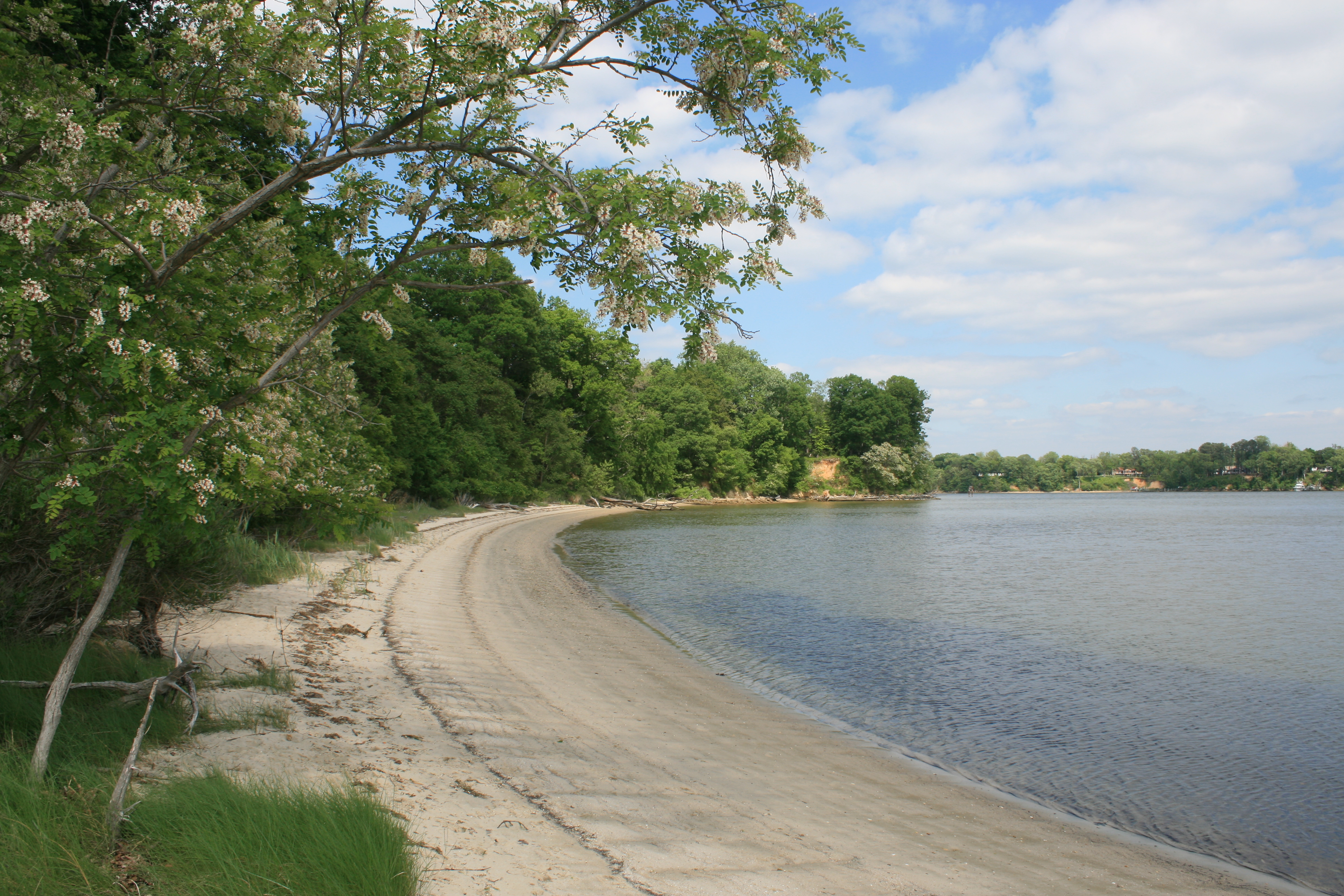
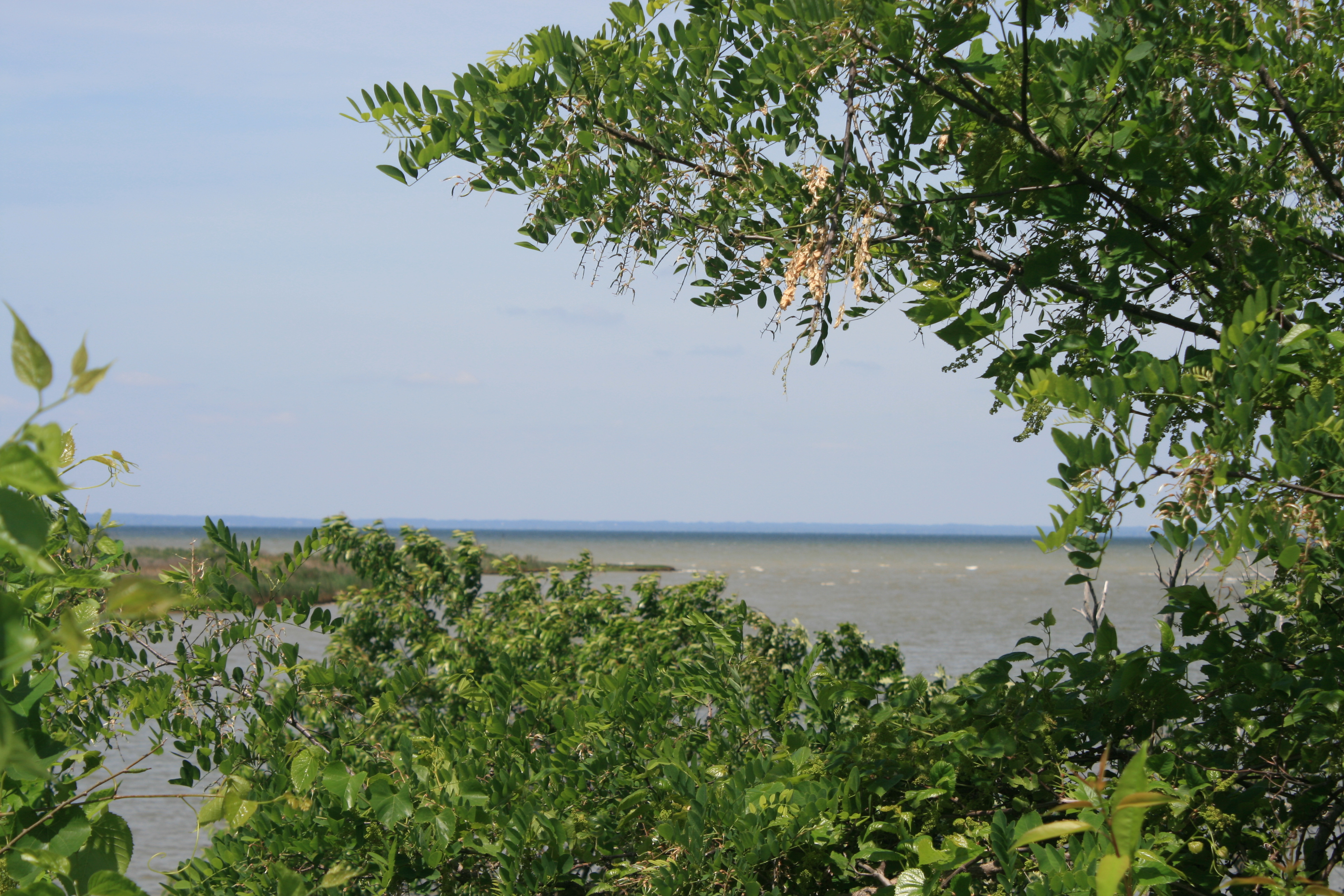
We cycled to Black Walnut Point at the southern tip of the island, and the air was scented with the flowers of Rosa multiflora, which is now so common that, rather sadly, it is regarded as an invasive species.
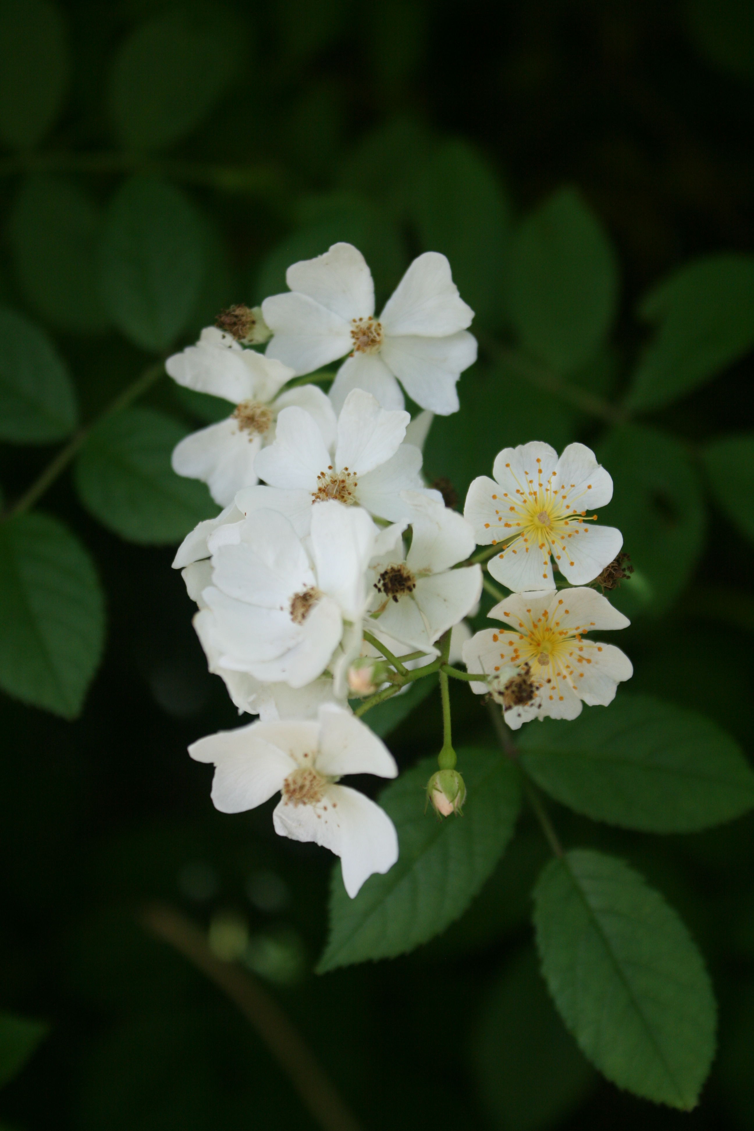
Rosa multiflora
There was honeysuckle too.
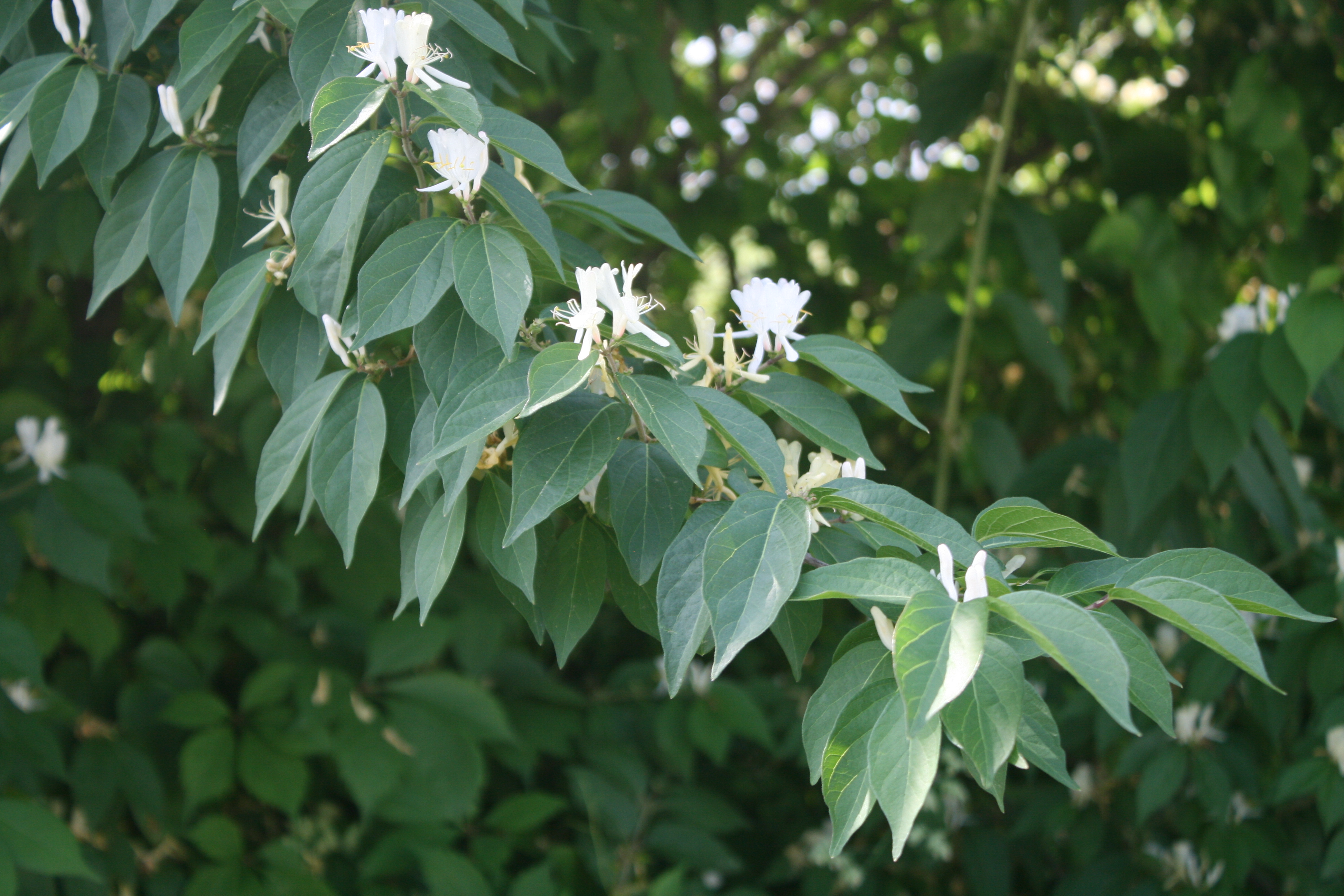
Japanese honeysuckle
And lots of black locust trees.
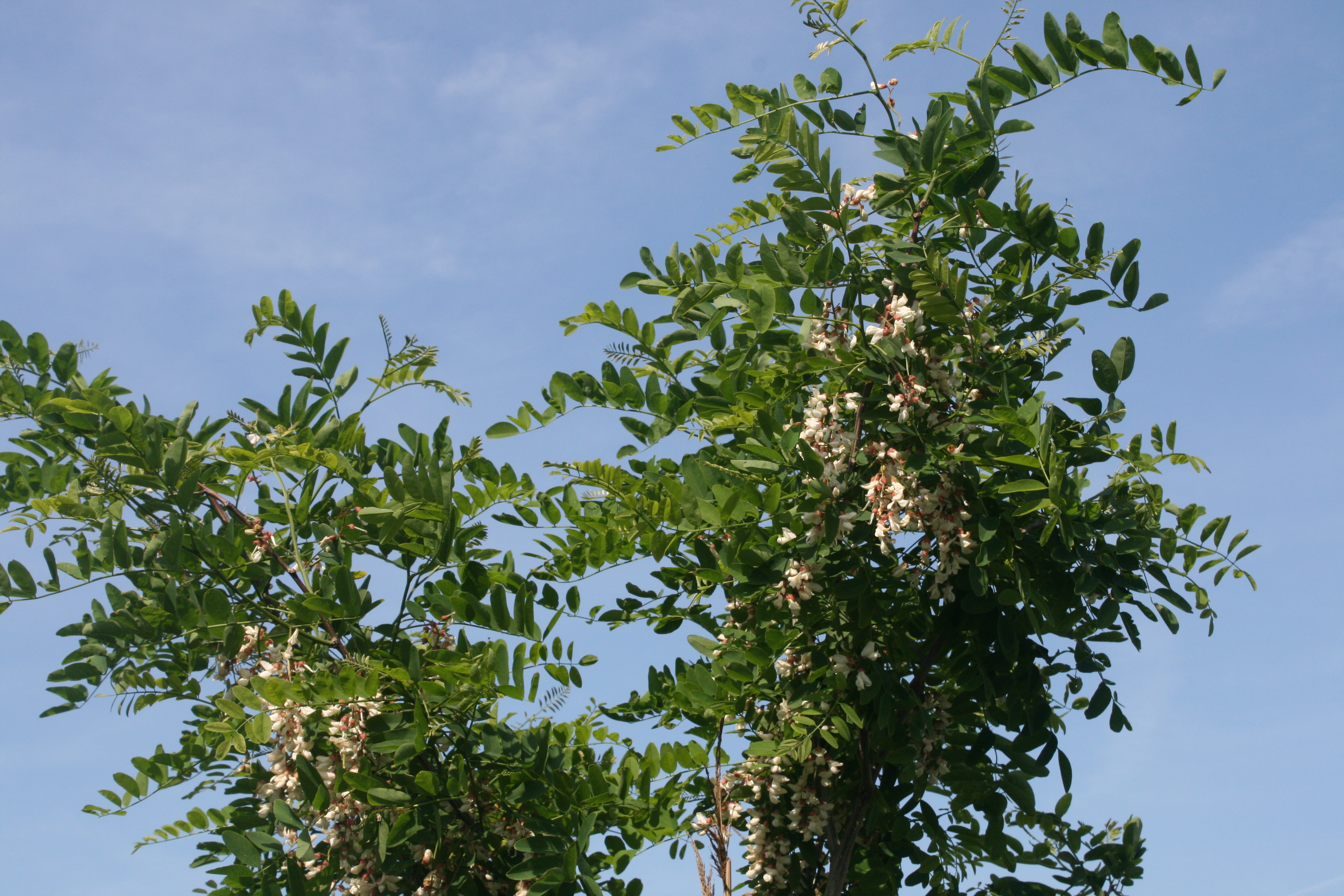
Robinia pseudoacacia
Near Black Walnut Point
We were intrigued by the name of the Two If By the Sea Restaurant on the main road. Henry, the chef and owner, had been a head chef with Marriott Hotels and decided to escape to the country. The restaurant premises used to be a grocery and hardware store and the interior looks like a cross between an English tea room, with paintings, bric a brac and fine china on display, and an American bar. We sat at the table with a view of the kitchen garden where Henry’s partner aims to grow all their own produce.
The restaurant is only open for dinner on Friday and Saturday nights, so we went for breakfast and Henry cooked us the best omelette I’ve ever tasted – with asparagus, crab and cheese. The menu said served with ‘fries’. This turned out to be an unassumingly modest description – the potato cubes were lightly sauteed with a mixture of herbs and oil, and were the perfect accompaniment to the omelette.
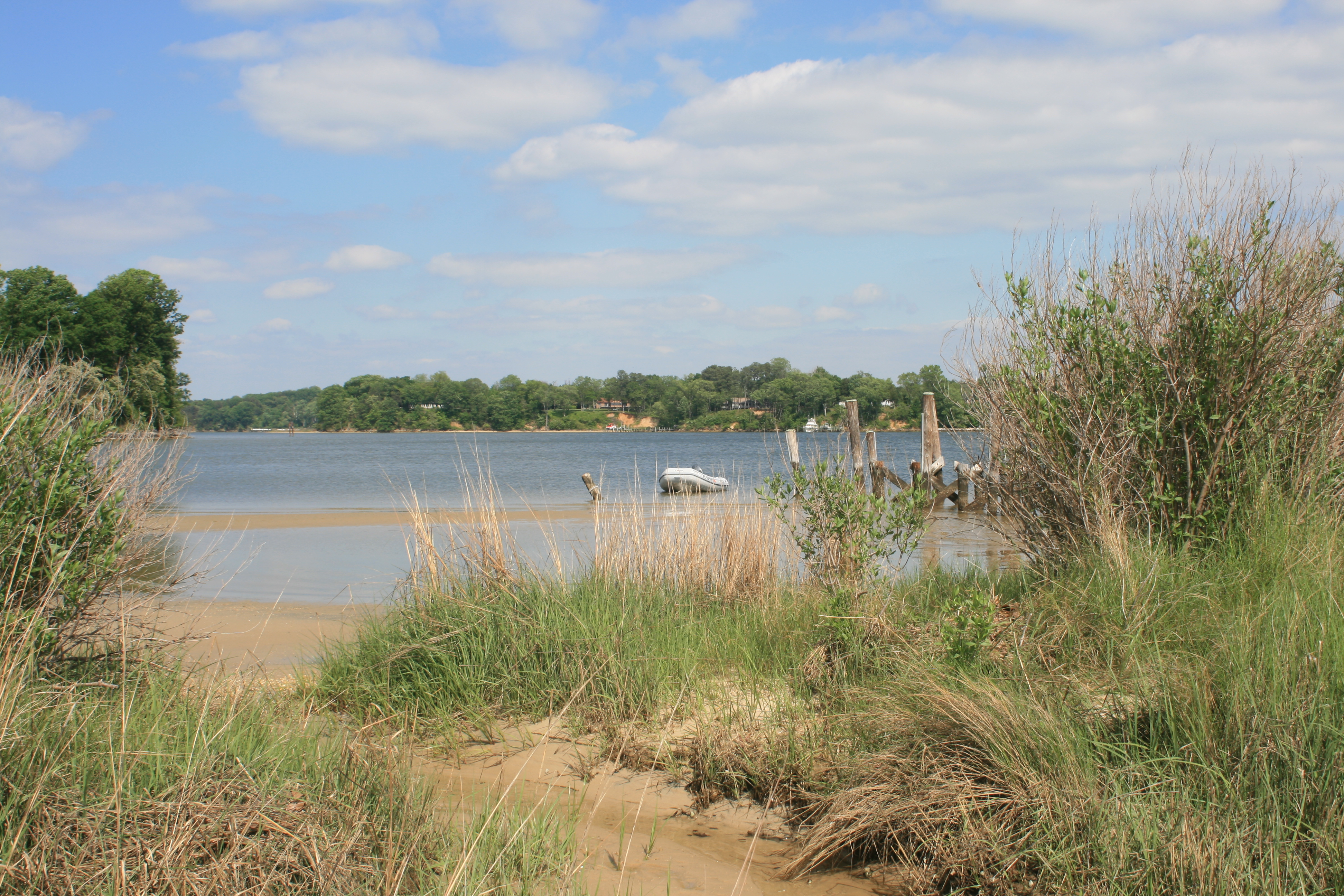
Tilghman Island is separated from the mainland by a narrow stretch of water known as Knapps Narrows.
Looking north, Knapps Narrows

Knapps Narrows
To get back to the Western Shore and our next destination, Annapolis, the quick way was via the Narrows.
But all the advice was against it. The amount of silting would virtually guarantee running aground. So we took the long way round, south of the island, adding another eight miles to the journey round Black Walnut Point. It was windy, and choppy, but we’re getting used to that sort of thing.
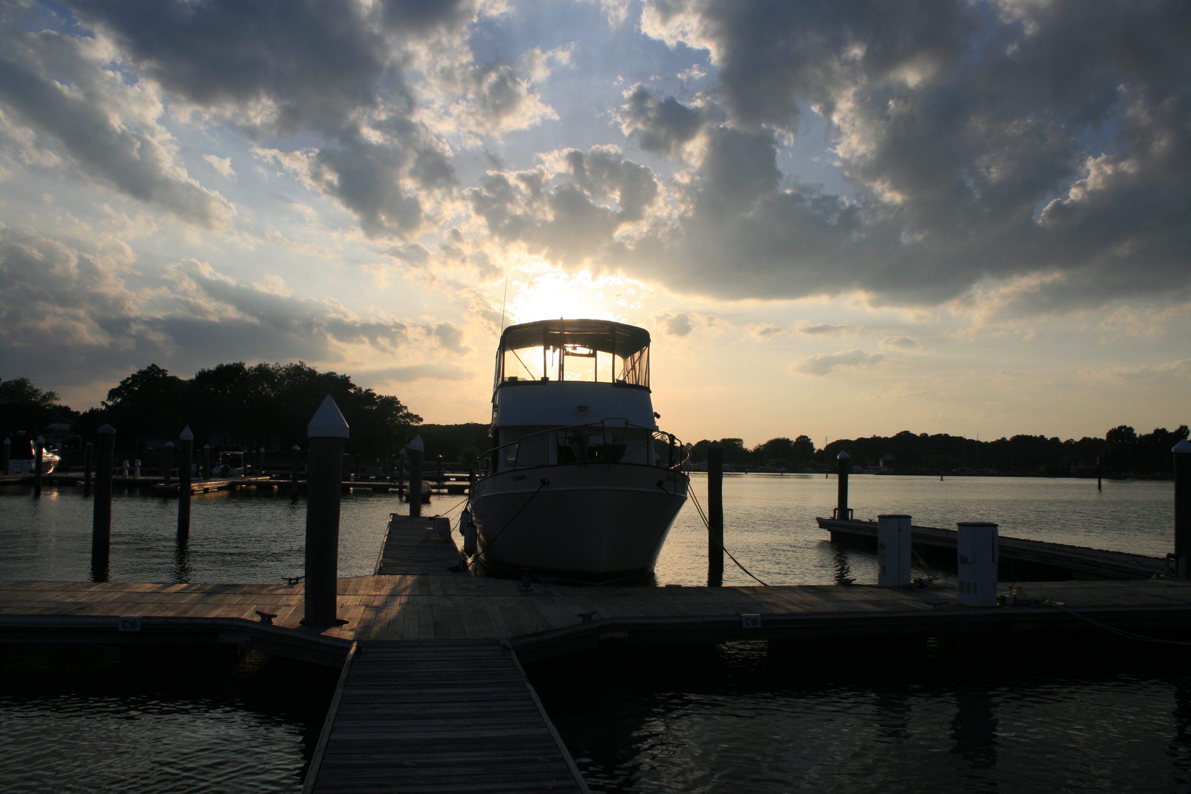
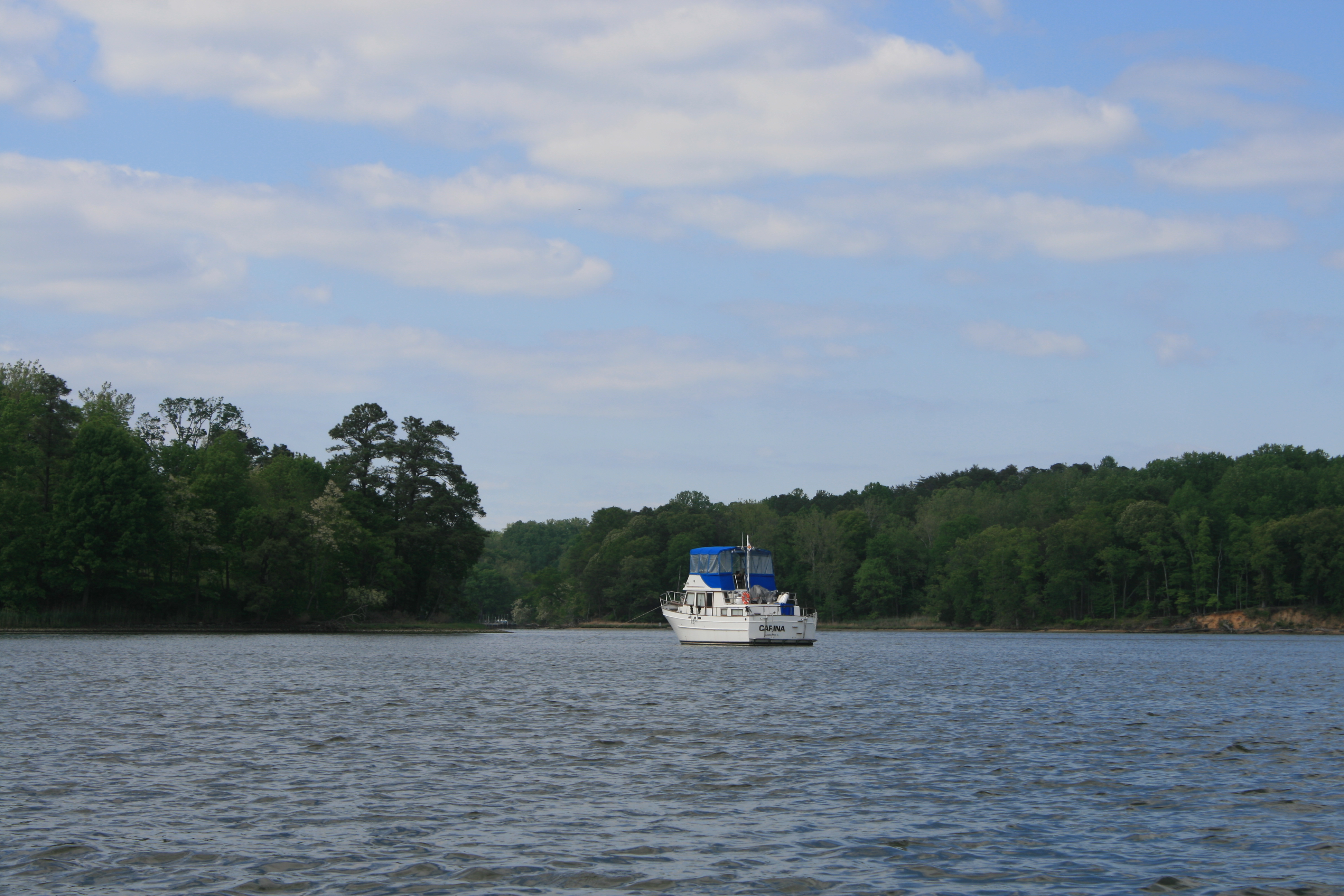
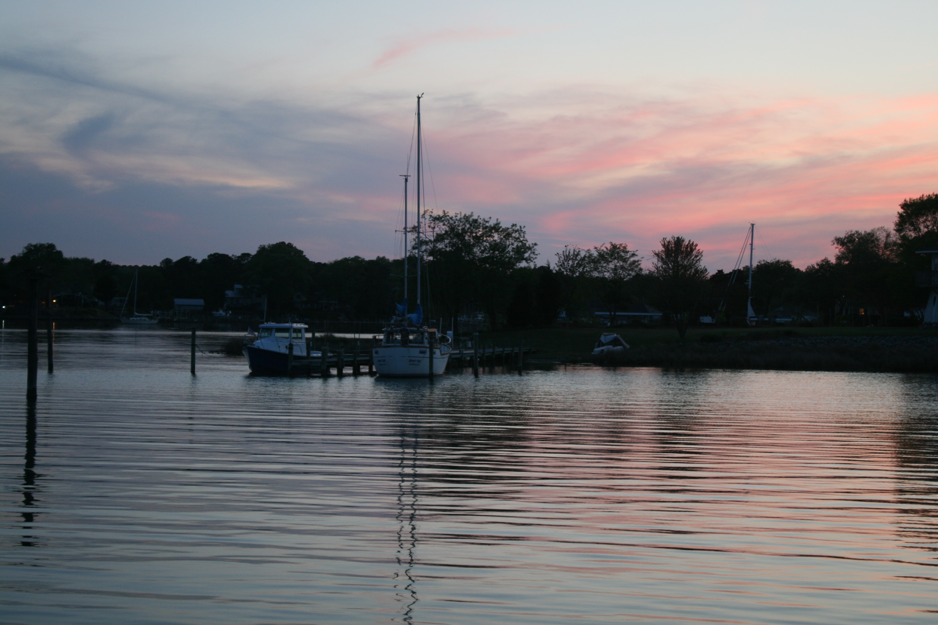
Carina in the evening sunshine, Tilghman Island
#