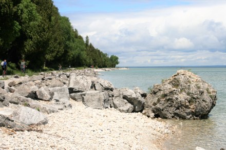
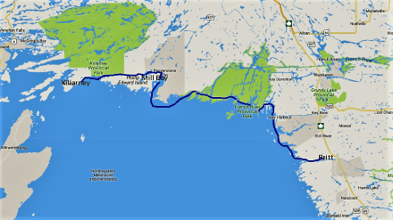
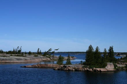
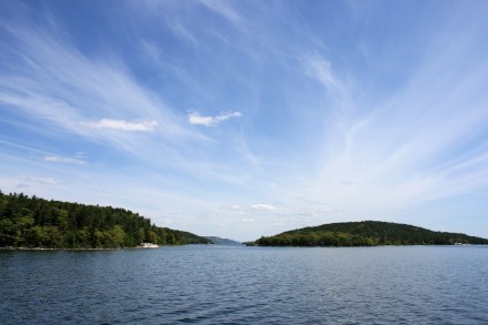
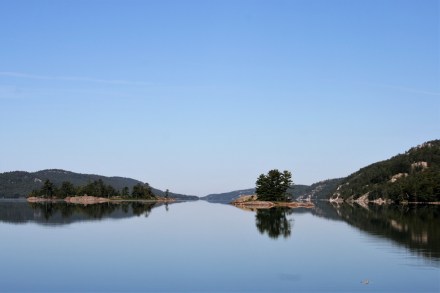
From Killarney the small craft route goes west through the North Channel, between the Manitoulin Islands and the mainland, through a wild, rocky, isolated area with islands dotted in the water, and with only a very few small settlements. It offers a relatively protected passage along the northern shore of Lake Huron, between the Manitoulin Islands and the mainland.
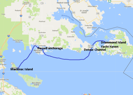
It took us 8 nights to travel the North Channel, staying sometimes in marinas, and sometimes anchored out, depending on the weather and our need for provisions, before we landed back in the USA at Drummond Island. It is still the ‘off’ season, and we’ve seen very few other boats, either on the water or in the marinas.

Killarney to Drummond Island
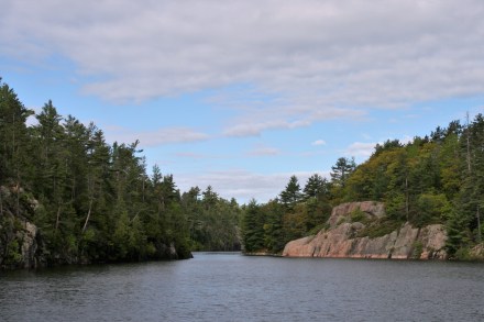
After Killarney the land forms long, finger-like projections into Lake Huron, and we travelled up one of these ‘fjords’ to Baie Fine for our next mooring.

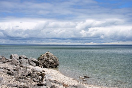
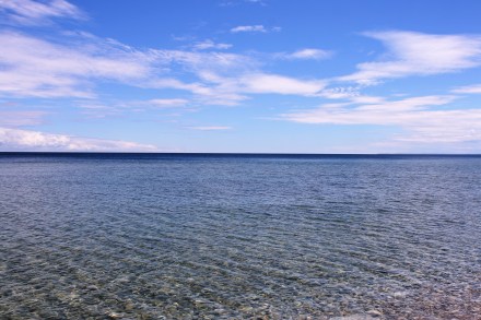
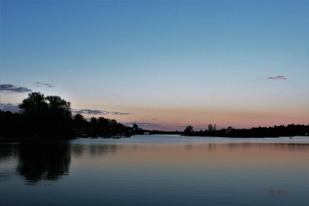
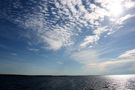
Georgian Bay from Killarney

La Cloche from Lansdowne Channel
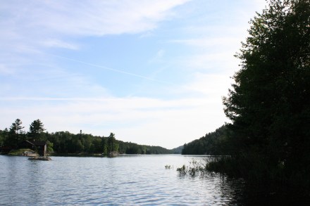
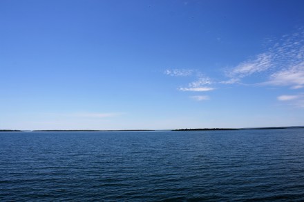
Entrance to Baie Fine
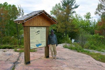
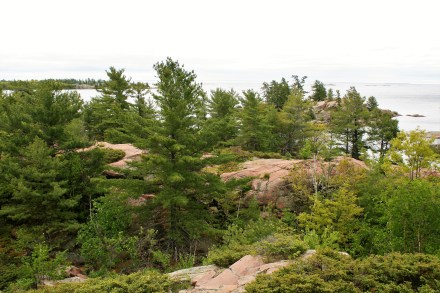
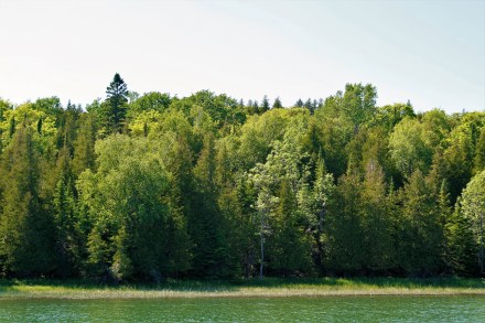
We got there early enough to take the dinghy out and explore the narrow channel leading up to the Pool, an area of calm water enclosed by trees and white granite rocks. From there, a marked trail leads up the hill through the woods and over the ridge to Topaz Lake, reputed for its beauty.

The Pool, Baie Fine

The Pool, Baie Fine
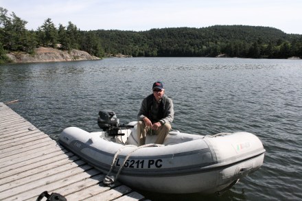
Ian in the dinghy at the Pool, Baie Fine
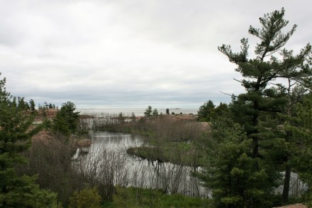
The trail wasn’t so difficult as the Chikanishing Trail had been, but it was still quite arduous and took rather longer than the guide had suggested. We got to the top of the ridge and decided that as it wasn’t warm enough to swim, we would content ourselves with just climbing to the top of the ridge and taking the view. Even so, it was 7o’clock before we got back to the boat.
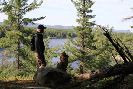
Overlooking Topaz Lake
The Pool

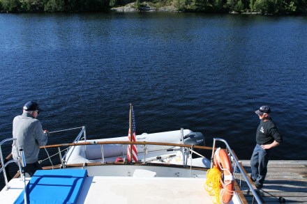
Carina at Baie Fine
Evening at Baie Fine
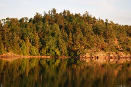
The next day was clear, bright, and calm. We travelled to Little Current to stock up at Valu-Mart, which turned out to be a rather nicer supermarket than it had sounded to the British ears of a habitual Waitrose shopper, with an ample selection of fresh, good quality meat and produce.
Early morning at Baie Fine

Early morning at Baie Fine
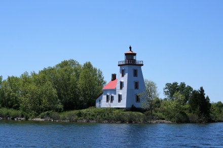
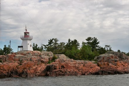
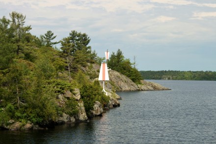
Strawberry Island Lighthouse
Strawberry Island Lighthouse, near Little Current, is said to be the finest of the Georgian Bay lighthouses.
Our next stop was an anchorage at Croker Island, and then on to the small town of Spanish.
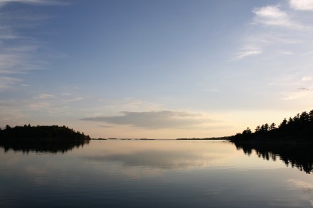
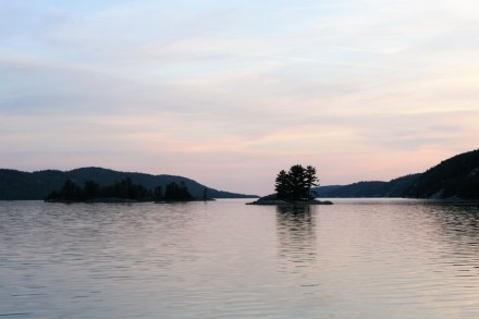
Evening at Croker Island
Evening at Croker Island
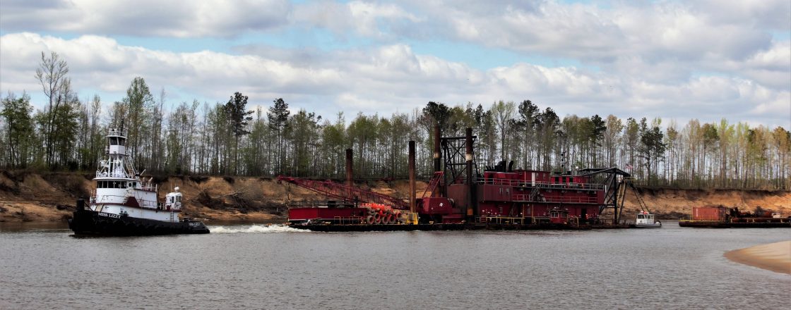
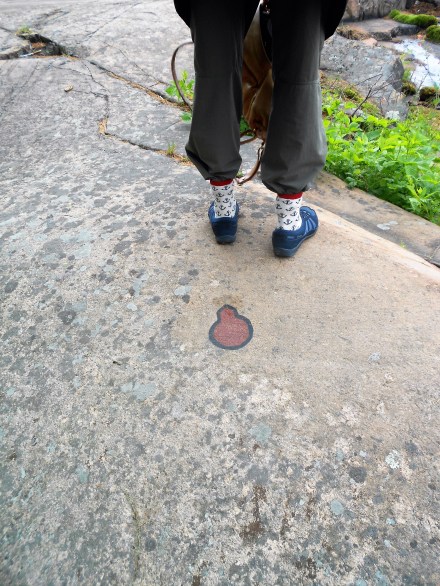
In most parts of the route, the channel is marked by red and green markers, but sometimes there are markers on the shore which you have to line up to ensure that you don’t stray into dangerous areas. This one was at Detroit Channel.
Entrance to Detroit Channel
A boat, even one as spacious and comfortable as Carina, isn’t really the place to be when you’ve strained your back. Ordinary tasks like putting clean clothes away or getting the breakfast cereals out, or putting things into the microwave, or re-organising the fridge because you’ve just bought several days’ supply of food and there isn’t room for it all, involve much more stooping and bending than they do at home. And don’t get me started on the gymnastic feat that is putting clean sheets on a double bed when one side of it is permanently attached to the wall.
I’d done quite a lot of deep cleaning on the boat during our first week at Britt, and by the end of the week couldn’t stand up straight or walk properly. Going on the Chikanishing Trail and walking up to Topaz Lake probably wasn’t the cleverest idea, either. A week later I wasn’t any better, had consumed Carina’s entire supplies of ibuprofen and had started on the paracetamol. I resorted to emailing Jane, our lovely Pilates teacher and physiotherapist, and her almost instant helpful advice (to do lots of back extensions) was very effective and within a couple of days I was back to normal.
But it did rather cramp our style in Spanish. Ian cycled off alone to replenish our food stocks at the supermarket. Rather than eat out, we decided to avail ourselves of the services of the local pizza restaurant, Pizza 17, which claimed never to use frozen dough and would deliver to the door of your boat. It was an unaccustomed luxury to sit drinking beer, waiting for dinner to arrive, but after about an hour we were beginning to wonder where dinner actually was. Ian rang the lady at PIzza 17 and politely enquired. We were glad he had been polite, because it turned out that they thought that the first pizza they had made for us had been overcooked, and they had made another one. And it was excellent.
Sunday began as another brilliant day, and we made an early start, to get to Blind River before the forecast strong winds and thunderstorms materialised.
Leaving Spanish, approaching Norquay Island
Looking back towards Spanish

Near Daly Islands
Whalesback Island
It was still bright sunshine when we got there at 4pm, but by 5pm the sky was black and we had every single fender out, and every line secured, to protect Carina against the storm.

Storm at Blind River

Storm at Blind River

Storm at Blind River
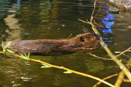
Blind River was our last stop in Canada, but before we crossed into US waters we finally saw a pair of loons, sitting in the water a few yards ahead of us.
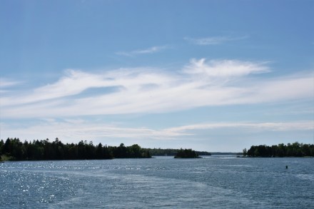
Leaving Blind River
En route to Harbor Island
Oddly, it wasn’t until we were almost there that it occurred to me that the US Customs and Immigration officers might be interested in the contents of our fridge. I had once tried to import some bacon for Ted, top-quality, vacuum-packed, Richard Woodall Waberthwaite bacon, and it had been seized and tossed unceremoniously into a bin with other proscribed articles. I wondered whether Canadian bacon would attract the same censure.
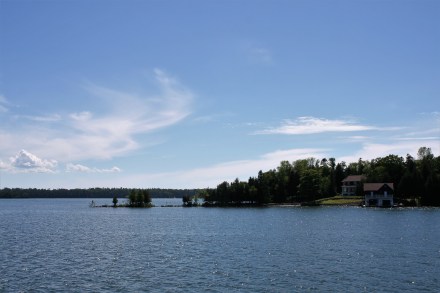
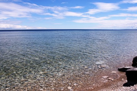
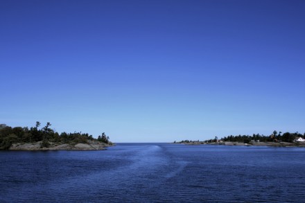
But we had a night at anchor at Harbor Island, a small horseshoe-shaped island containing a lovely natural harbour, before we had to face them. It was at last warm enough to shed a layer of clothing and roll our trousers up, though that didn’t last.

Afternoon tea at Harbor Island
Harbor Island

Harbor Island, looking towards Drummond Island
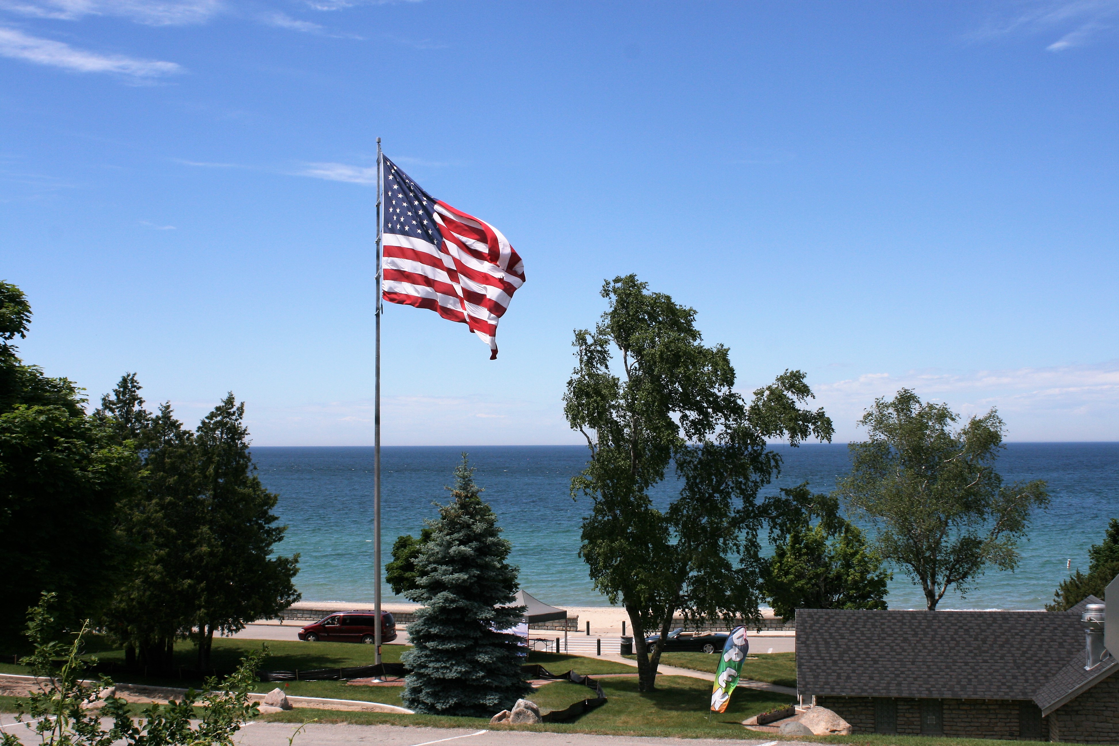
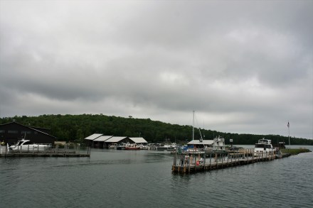
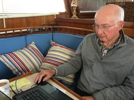
We arrived at Drummond Island Yacht Haven in the late morning, and Mackenzie, the dockhand, told us that as it was still the low season, the Customs and Immigration Officers were not actually in situ, but ensconced some distance away in Sault Ste-Marie. She very kindly rang them up for us, and returned with the news that they wanted photographs of our passports and visas, which she would supply with her smartphone. They then rang back and spoke to Ian, to say that we would have to go to Sault Ste Marie to be dealt with. Ian very politely pointed out that Carina only does 6 knots and it would take us a whole day to get there, so they said they would come to us, by car and ferry.
We had about an hour to eat anything incriminating, and decided on steak and salad for lunch.
The two officers were very nice. We were allowed to keep the bacon, and the Canadian Merlot. There was some puzzlement about the numerous stamps in our passports, especially when Ian seemed unable to remember for some minutes that we had visited Virginia last January.
Then they spied the fruit bowl. The oranges, lemon and limes had to go, but we could keep the apples and bananas. I opened the fridge.
‘Is that a tomato?’ Indeed it was, and the tomatoes, a green pepper, lettuce, and anything from the onion family which sprouted leaves went too.
After they had gone, we borrowed the marina’s ancient jeep and went to the grocery store to make good our supplies.