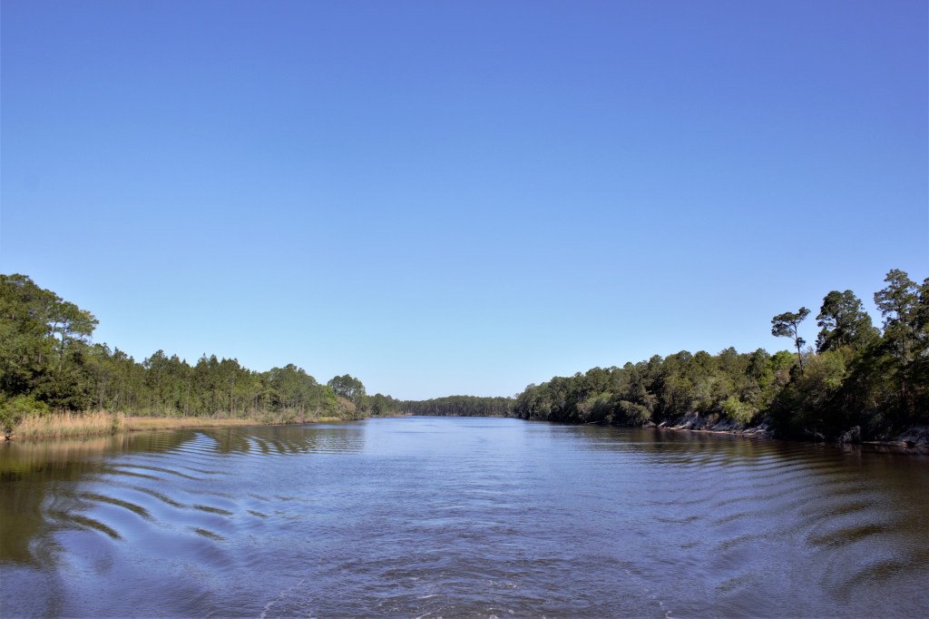
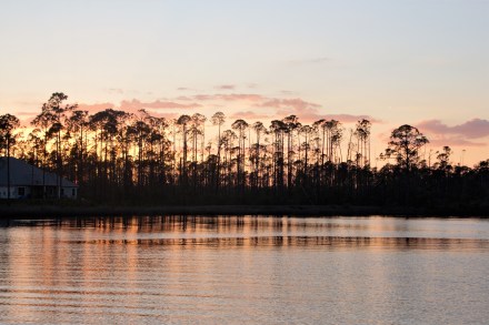
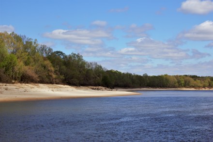
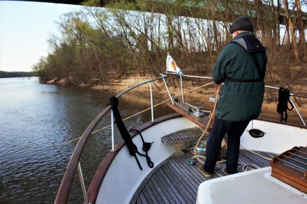
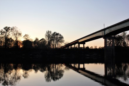
The bad weather had passed, so we moved on from Destin and anchored at the eastern end of Choctawhatchee Bay. The waterway then passes into a narrow cut known as the Grand Canyon, before going into West Bay and Grand Lagoon.
Destin to ApalachicolaMile 255, looking west
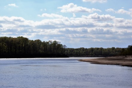
The Grand CanyonDump truckThe waterway widens out just before West Bay
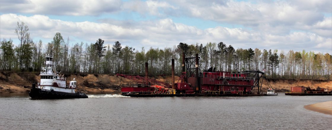
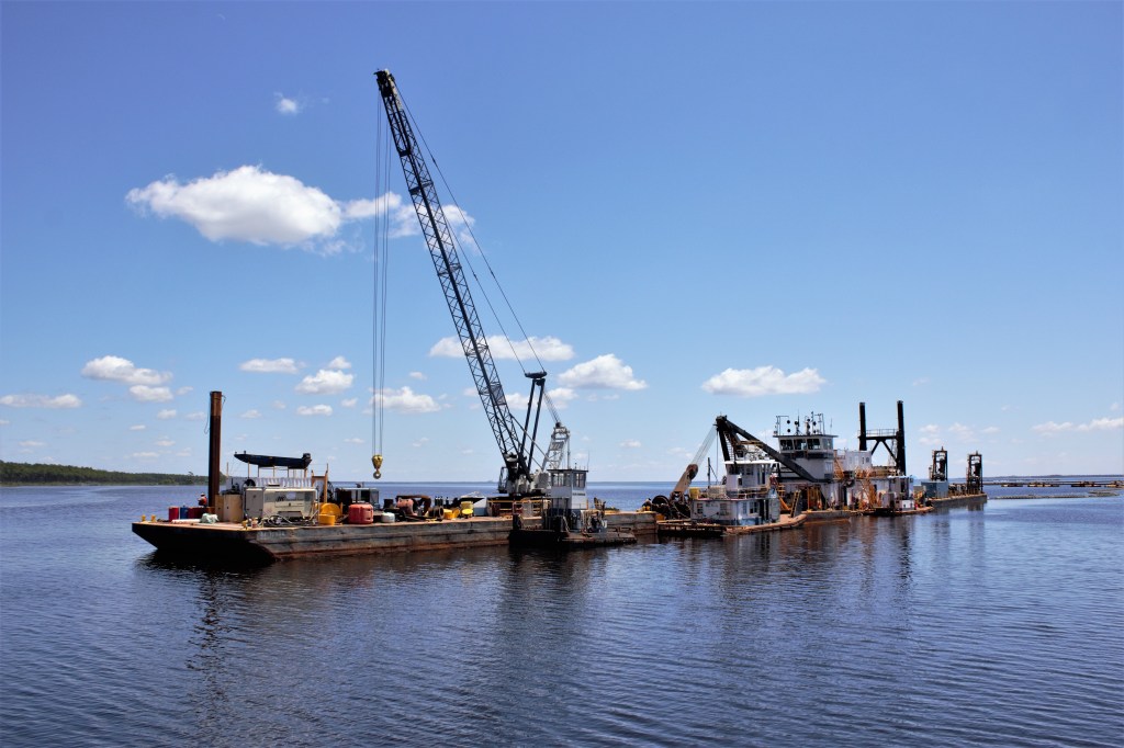
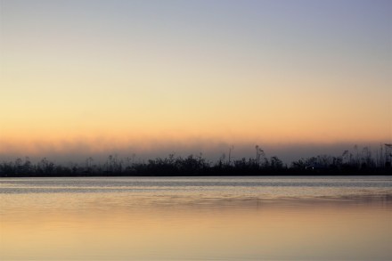
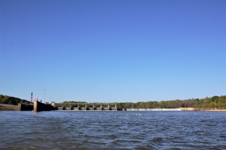
We were approaching Panama City and the area which had suffered the most devastation last October when Hurricane Michael struck. We saw lots of damage to property and vegetation. In West Bay, dredgers were busy clearing the channel.
Dredger in West Bay
Ian had identified a suitable anchorage, listed in Skipper Bob’s Cruising Guide, at the far end of East Bay. But he decided we had time to go farther on, so that the next day’s cruise would be shorter. Instead of Skipper Bob’s anchorage, we would stay in a wide, unnamed bay on the southern shore of East Bay, which Skipper Bob had clearly overlooked.
The bay was windy and exposed, but we dropped the anchor anyway. I noticed three little planes with a rather pugnacious appearance pointing straight at us, and a check on the GPS confirmed that we were a few yards outside a high security zone. This was a little unnerving, and a few minutes later, another check on the GPS showed that we were actually drifting.
The anchor had to be pulled up, and we motored a short distance further away from the planes, and dropped the anchor once more. It was gin and tonic time, but we didn’t relax for long. We were drifting again, and Ian didn’t improve matters by knocking his gin over.
I suggested in a firm tone that it might be better to go to the nearest recommended anchorage. 40 minutes later, we found ourselves safely moored in Laird Bayou. A lesson had been learned, and it was that if an anchorage isn’t recommended by Skipper Bob, it ain’t recommended.
Evening at Laird Bayou
But tomorrow’s another day. Some mornings, you wake up early, and it’s just too nice to stay in bed.
Early morning at Laird Bayou
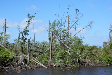
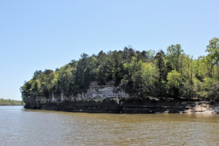
It was the promise of a fine day ahead. We left Laird Bayou for Apalachicola, out of East Bay and along another narrow cut, where the hurricane damage was all too apparent, through Lake Wimico and into the Jackson River and the Apalachicola River.
Hurricane damageMile 331, GIWW
We stayed 3 nights in Apalachicola, the first night in the marina on the riverfront, and the last two on the municipal dock, a few yards away, as the marina had no space. But George, the marina owner, kindly let us use the golf buggy to get to the supermarket to restock our depleted supplies.
Our mooring looked out over the swampy estuary of the Apalachicola River.
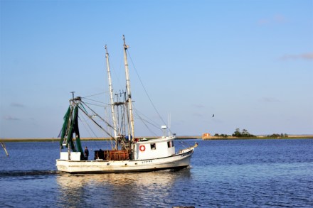
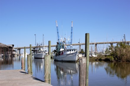
Apalachicola had been an important port for exporting cotton from all over the region, before the railways were built and transport by rail became more cost-effective. On Water Street, facing the river, there were once many brick warehouses, of which a few remain, converted into shopping malls and holiday accommodation. There are plenty of commercial fishing boats forming the basis of the local economy. The town has its own brewery, with a bar where everyone seemed to hang out, and several restaurants. We had a good dinner at the Tap Room, also owned by the Brewery. And on the Saturday morning, we walked a mile to the Farmers’ Market and bought some artisan bread and organic produce.
Carina at ApalachicolaShrimp boat, Apalachicola
Angry birdThe dock, ApalachicolaApalachicola River EstuaryWater St, ApalachicolaAvenue D
Apalachicola had a taxi company, but it only had one taxi, operated by a husband and wife team. Fortunately, it was available, and able to take us out to St George’s Island, a barrier island reached by two very long bridges and a long causeway. I wanted to go to the beach.
One of the bridges to St George’s Island
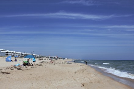
It wasn’t quite the deserted paradise I’d imagined, being fairly heavily developed, but there was plenty of space on the beach for everyone. There was a tiki bar too, so instead of enjoying the unspoilt scenery, we had a beer instead, and a paddle.
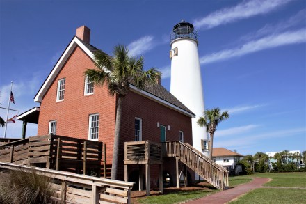
On the beach at St George’s IslandBeach housesSt George’s Island Lighthouse
We had to sit out a day of bad weather, before leaving for Carrabelle, which was where we would start our crossing of the Gulf of Mexico.
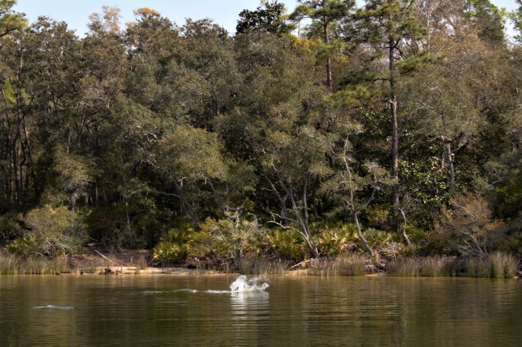
There was bad weather looming, but we had a beautiful day travelling along the Intracoastal Waterway through the lovely Perdido Bay and Big Lagoon. Before we left Ingram Bayou, we were entertained by some dolphins diving and splashing not far from us.
Dolphins at Ingram Bayou
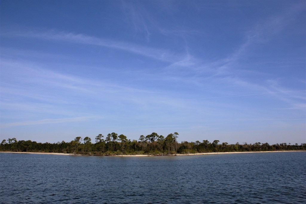
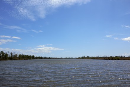
Big Lagoon separates Perdido Key, the long barrier island, from the mainland. The dark blue water contrasted against the white sand, which is composed mainly of quartz crystals, washed down from the Appalachian Mountains in another age.
Big LagoonPerdido KeyHouses on Big Lagoon
The area was first inhabited by the Pensacola people, and was settled in 1559 by the Spanish. Now, it’s a seaport and has a US Naval Air Station which is the home of the Blue Angels, which just happened to be practising as we approached Santa Rosa Island.
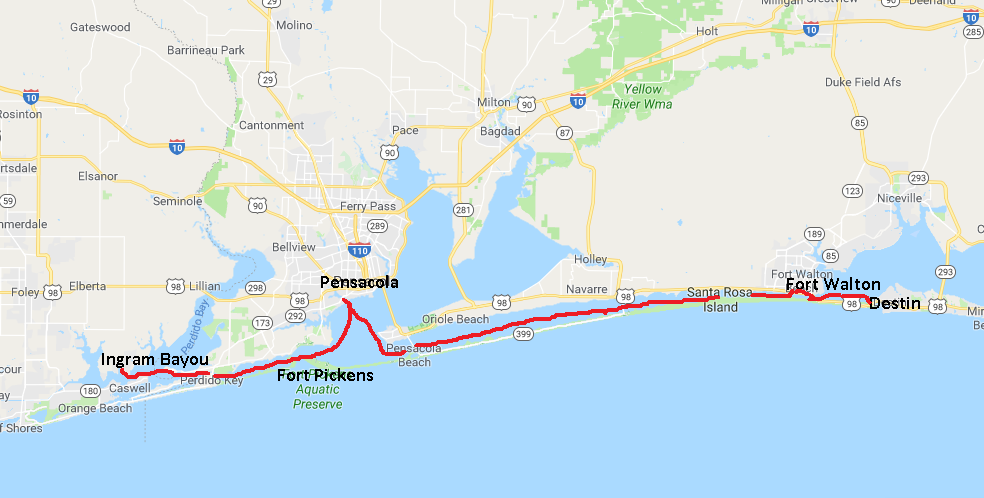
Ingram Bayou to Destin
We booked into the Pensacola Shipyard and Marina at Warrington to sit out the bad weather which was approaching. The next four days were going to be fairly bad, really bad, a brief respite, and then bad again. As the next day looked like the least awful day, we decided to hire a car to do a little sightseeing and shopping before the onslaught.
Carina at Pensacola
Ian has been such a good customer of Enterprise Car Hire that we were due a free hire, which cheered us up a bit. We decided to go to see Fort Pickens, strategically placed at the western end of Santa Rosa Island, where there is also an Aquatic Preserve. Unfortunately, some human error had crept into the satnav-programming operation and it was some time before we realised that we had driven 20 miles in an easterly direction, and would have to turn around and drive all the way back again.
Eventually we found the right bridge leading to Pensacola Beach and Santa Rosa Island. By this time it was windy and raining. and the high rises, beach houses, bars, restaurants and condos looked rather dispiriting in the greyness. The road narrowed to a single track as it continued for several miles along the spit of land to the promontory where the fort was. On either side were dunes and grasses, and we had glimpses of the sea. Despite the bleak scene, I would have liked to stop the car to take photographs, but by this time we were within the Reserve boundary and stopping wasn’t permitted.
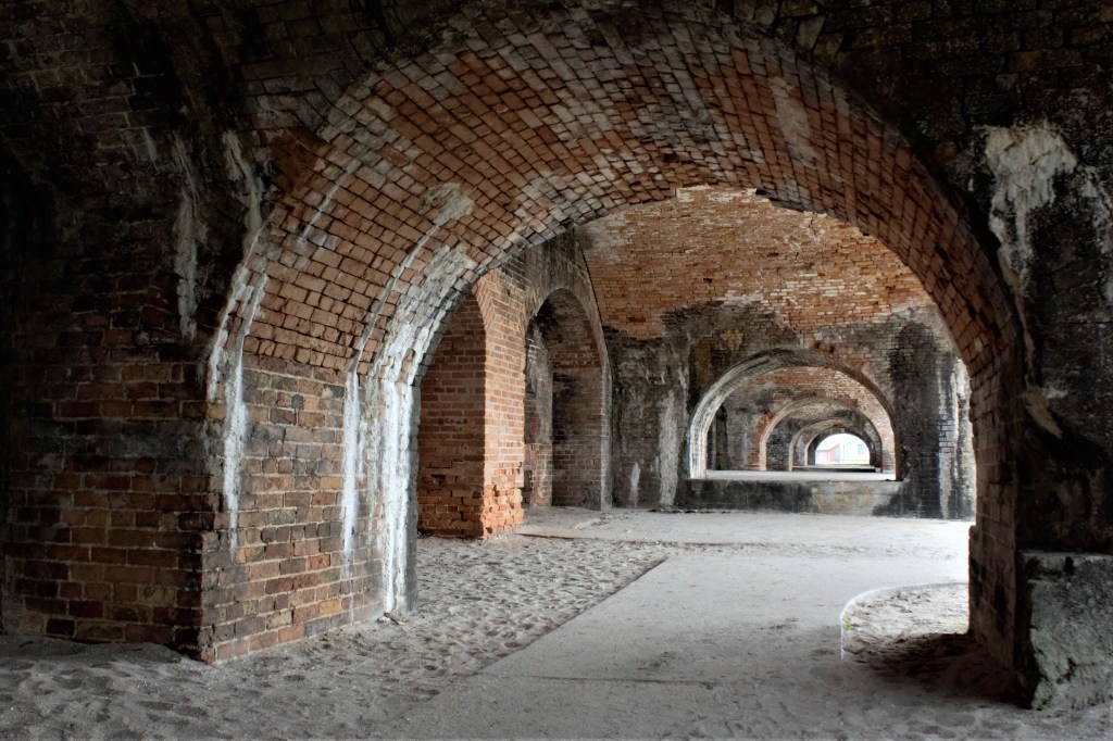
Fort Pickens was built in 1834 and remained in use till 1947. During the Civil War it was a Union stronghold. In its day it had been extensive, but it had been neglected and allowed to fall into disrepair, before being placed on the National Register of Historic Places.
Fort Pickens, PensacolaReinforced concrete
There were impressive archways and brickwork, and one part of the fort had been added in the 1890s and constructed of reinforced concrete. It must have been one of the earliest uses of reinforced concrete, and Ian could not resist inspecting it closely.
Wild flowers grew among the ruins. This is Tradescantia ohiensis, or Confederate Spiderwort.
Tradescantia ohiensis (Confederate Spiderwort)
We didn’t really make the most of Pensacola. There was a restaurant with live music just down the road, but we couldn’t be bothered going out in the wind and rain. The next day was even worse, and rather than venturing out to see the historic town centre, our activities were confined to checking the engine, and making forays to the laundry in between the squalls and thunderstorms.
A short break in the weather the next day allowed us to get to Fort Walton, where there is a free dock next to the public park.
We briefly ran aground while trying to get onto the slip, but Ian has had practice at getting out of this particular difficulty, and the usual manoeuvre of reversing at high revs once again extricated us from an embarrassing situation. We had been seen by some local guys whose sailboat was in one of the slips, and they helped us tie up along the end of the dock, away from the shallow water.
Unfortunately, there was a problem. As well as the usual piles to tie up to, there some extra ones on the outside, which resulted in a 4′ gap between the boat and the dock. I couldn’t put my foot down on our step, while at the same time keeping a hold of the deck rail.
There was no way I was going to take a flying leap from the boat, despite the disparaging comments from some quarters and the amusement afforded to the guys who had helped us dock. We needed groceries, and Ian had to go to Publix by himself.
The proposed leap
Ian had no such qualms. He was quite happy to stride, no hands, from the boat to the dock and back again.
There was a police presence in the park, and Ian had to report to them when we got there. It might have been reassuring to have them there, but actually it wasn’t. We couldn’t help wondering what went on, that needed them to be there, especially as in the early evening, our friends next door vacated their slip and anchored out, a few yards away, before returning to the dock the next morning.
The police, though, were assiduous in their duty. At 6.30 the next morning, just as I was making the first cup of tea of the day, a knock on the cabin window had Ian leaping out of bed. The police just wanted to point out that we were tied up next to the pump-out, and were we going to use it.
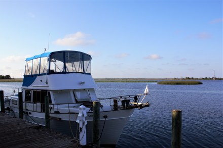
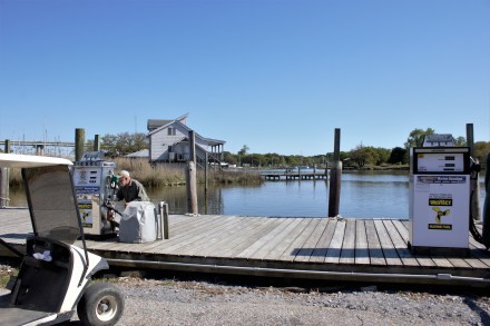
We managed to get to Destin, where there is a natural harbour off Choctawhatchee Bay, before the next bout of bad weather hit us. We anchored there and were able take the dinghy to go ashore to go out for lunch at Gilligans and get an Uber to the supermarket. Things have certainly become easier since the advent of Uber, and the supermarket, Winn Dixie’s, was the best we’d been in for quite a while. They had proper cheese from a farm in Wisconsin, and a fish counter, so for the first time this trip I was able to cook fresh fish for dinner.
Destin from the harbour, with the dinghy dock on the right
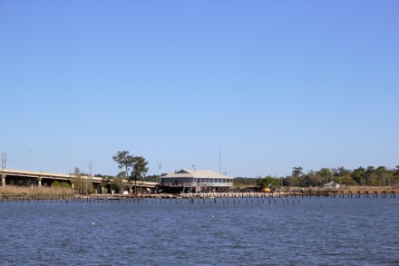
Lynn, who was on the next boat to us at Dog River had given us a useful piece of information. Mobile Yacht Club, only a short walk away, would let you in as a guest for dinner if you were staying at the marina, and so Ian booked a table. After a run of scratch dinners on the boat, it was a pleasant indulgence to sit at a table with a cloth on it and be waited on, in a friendly club atmosphere. The food was great too. The building itself is unprepossessing and rather overshadowed by the Dauphin Island Parkway, but the dining room has an all-round view of the expanse of Mobile Bay
.
Mobile Yacht Club, Dog River
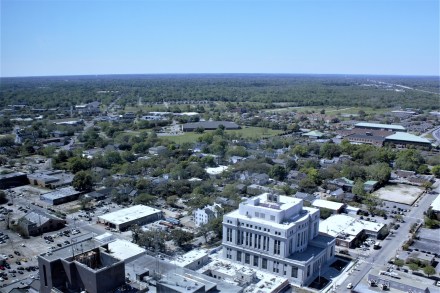
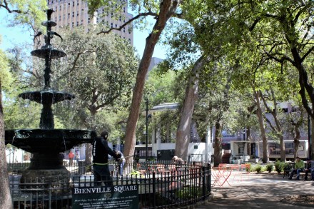
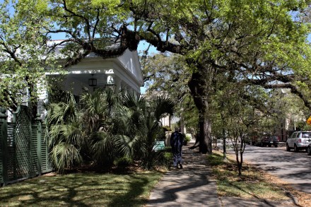
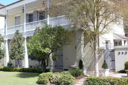
We took an Uber into Mobile, and Kathleen, our driver, suggested that instead of just going in on the freeway, we might like to go the back road way to see more of the old parts of Mobile. Government St, the main road through the town, was an avenue of old, spreading trees shading gracious old houses. Some are still privately owned, but the Government has bought others to preserve them. We walked through the downtown, a mix of modern high rise and older buildings, to see the Richards DAR House in the De Tonti Square Historic District.
Asking a policeman the way, Bienville Square
Cleaning the fountain, Bienville SquareN Conception St
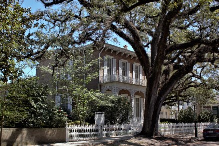
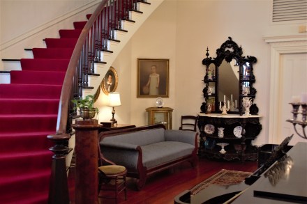
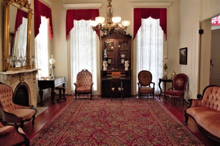
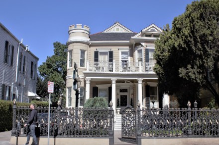
The Richards DAR House, N Joachim St, Mobile
The house was built in 1860 for Charles and Caroline Richards, and owned by the family until 1947, when it was sold to the Ideal Cement Company for use as offices. The company gifted it to the city of Mobile in 1973, and it’s now administered by the Mobile Chapters of the Daughters of the American Revolution.
The intricate wrought ironwork has recently been restored at a cost of $85000.
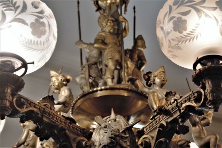
We were
given a guided tour by Lisa, a retired teacher, and joined by Greg and Tammy,
visiting from upstate New York. The tour included tea afterwards – hot, spiced
tea which tasted like mulled wine, but without the alcohol.
Original bronze chandelierThe hall and curved staircaseThe ParlourLisa, Tammy, Greg and Ian taking tea
Our waiter
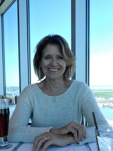
at Mobile Yacht Club had recommended the Dauphin Restaurant, on the 34th
floor of the Trustmark Building. Lunch was excellent and very reasonably
priced, and the views made it unmissable.
Looking south from the Dauphin Restaurant towards Mobile BayRSA Building from the Dauphin RestaurantLooking northwestLunch in the Dauphin Restaurant
People in Alabama have been so nice. In the lift on the way down from the restaurant, a man asked us where we were from, and what we were doing in Mobile. Ian launched into the usual explanation about the boat. At the mention of the Tombigbee River (we were out on the sidewalk by this time), the man, who had introduced himself as Clark, said that he had grown up close to the river in a rural area, 70 miles north of Mobile. ‘So I guess that makes me kind of a redneck.’ Ian wasn’t sure of the proper way to respond to this confession. He politely mumbled something about being under the impression that ‘redneck’ wasn’t a very complimentary way to describe someone. That was right, Clark said. But he wanted us to know that not all rednecks were bad people. Some were ok, and welcome to Alabama. And thank you very much for visiting. This last sentiment was repeated to us many times. I hope we’ll be able to go back again and see more of the state and its people.
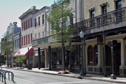
Dauphin St, downtown Mobile
Dauphin StDauphin St, The Trustmark Building and the RSA Building, MobileThe fuel dock, Dog River Marina
Fishing Boats at Dog River Marina
We left Dog River the next day to start our journey towards the Florida Panhandle.
Dog River to Ingram Bayou
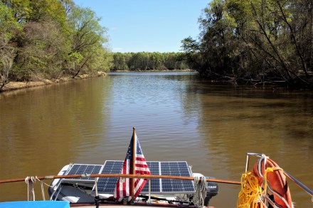
Mobile Bay was the first stretch of open water that we’d done for some time. The crossing took about five hours in reasonable conditions. At Bon Secour, we joined the Gulf Intracoastal Waterway, which would lead us between the barrier islands, through lakes and canals back to Florida’s west coast, where we started the Loop five years ago. There were dolphins and pelicans and it was starting to feel as though we were nearly there. We passed through Wolf Bay and moored at Ingram Bayou, where for once, the anchor set the first time to Ian’s satisfaction.
It turned
out that Ian had been harbouring a secret desire to travel on a Greyhound bus,
and he thought that our journey from New Orleans to Demopolis, where we had
left Carina, presented an opportunity. No buses or trains go to Demopolis, but that didn’t deter him. We could take the
bus to Mobile, and then hire a car.
As it happened, the Greyhound bus left New Orleans at 8 o’clock in the morning, which might have impaired our enjoyment of the night before. But there was a Megabus at 11.30, a much more congenial departure time. He booked online, with an air of self-satisfaction, before we left home. The total fare, for us both, for a two-hour bus journey, came to $12.50.
I related
this to our friend Jacks. She regarded
me with consternation and then burst out laughing. Other young-ish friends
reacted similarly, although my attempts to find out what exactly was the
problem with Megabus were unsuccessful.
I was impressed by the fact that Megabus had a meeter- and- greeter at the bus station. But his role wasn’t confined to meeting and greeting. He eyed my bag with suspicion, and took it away to be weighed. Ian’s bag, by definition, weighed several kilos less, but I was only half a pound over the 50lb limit, so I was let off with a warning.
It was true
that we didn’t quite fit the Megabus demographic, being the only people on the
bus over the age of 35. But the seats, although hard, had plenty of leg-room,
and there was free WiFi, which is more than you can say for the Transpennine
Express.
I didn’t
use the WiFi much though. The bus was a double-decker and our seats were
upstairs, so we had a good view as we crossed Lake Ponchartrain and the bayous
as we passed from Louisiana through Mississippi and finally into Alabama.
The bus
stop at Mobile was a bit of a surprise. We’d imagined that the bus would stop
in a bus station, and that there would be toilet facilities and possibly even a café where we could get some lunch
before picking up the car. But it was just a bus stop on the freeway, and we
regretted not having used the ‘facilities’ on the bus.
We took an Uber to the Enterprise car hire office, only to find a hand-written note on the door, ‘closed till 2.30’. It was only 1.45 and there was nowhere to sit and no restaurants or shops in sight.
A mechanic came out from the shed behind the office, bringing me a chair, and explaining that there had been a security breach with Enterprise’s computer network, and all branches had been told to shut down till 2.30 while it was sorted out. So we had to wait, but eventually we were on our way north and eventually, we ate lunch, somewhere in the rolling hills of northern Alabama.
Ian thought
he was on a roll after his success with Megabus, and had suggested the
Econo-Lodge in Demopolis as a suitable overnight stay. But he quickly realized
he was pushing his luck, and we had a comfortable night at the Best Western
Plus instead.
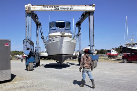
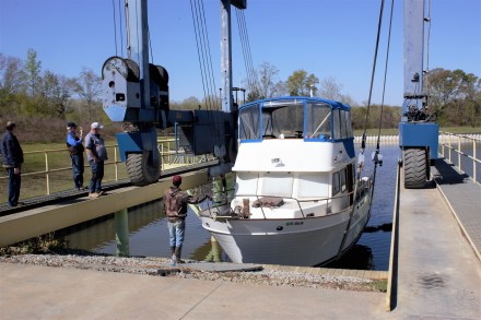
The next day we went to Demopolis Yacht Basin to have Carina put back on the water.
Carina in the hoist at DYBNearly in the water
Once this was done, we crossed the river to Kingfisher Marina where we were going to spend a few days sorting the boat out before starting the 200-mile journey down the Tombigbee and Mobile Rivers.
After the
rodent experience in Illinois, I felt some trepidation about getting back on
the boat. But the mousetraps we’d left were untouched. There was a bit of mould
here and there, but that was easily dealt with. The weather was fine and dry,
so I was able to air the bedlinen and we didn’t need any more nights in the
hotel. We celebrated our return to the boat with dinner at the Red Barn
Restaurant, reputedly Demopolis’ best, and where we’d had a good meal on our
last visit.
Our last
trip had been punctuated with disasters of varying severity and expense, so we were dismayed when Ian noticed fluid
leaking from a hose on the steering column. It was all a bit too déjà vu. His
initial attempts to remove the leaking hose proved futile, and we thought we
were in for another repair bill. But he made a renewed effort the next morning,
this time successfully. We had to wait till Monday to get a new hose made at a
car repair shop, but it didn’t really matter. We needed the time to provision
the boat and check everything was
functioning, because we’d be anchoring out for 3 nights in remote areas before
we got to a marina at Mobile .
It was grey and cool when we left the next morning. Fred, Kim, Trenella and their staff at the Yacht Basin had been kind and helpful to us and I was still grateful to Anna-Marie at Kingfisher for her uncompromising advice back in November, when the water in the Tombigbee had risen to flood levels and the amount of debris in the river would have made it a dangerous passage, and she’d told us not to go.
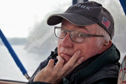
Ian looking pleased to be back on his boat
It had been
the right call. Everything happens for the best. If our journey in the fall on the Tenn-Tom had
been spoiled by cold and rain, once the first cloud had dissipated on our first
day, we had clear, unbroken sunshine all the way to Mobile. Spring comes early
in Alabama, and the trees which had worn their autumn golds in November were
now showing the first new leaf of bright green.
It’s only
about 100 miles as the crow flies from Demopolis to Mobile, but the river
meanders and loops its way down to the delta. Sometimes the bends are quite
sharp, and a large tow will appear from apparently nowhere, and quick avoiding
action has to be taken.
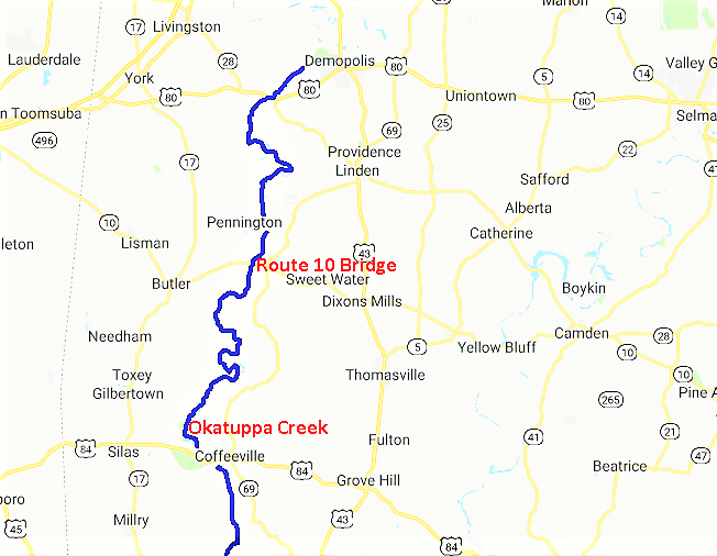
There were only two locks between Demopolis and Mobile. The first one, Demopolis Lock, was just round the corner, and proved to be the first snag. We’d got up early to make the most of the day, but when Ian rang them to let them know we would like to pass through, the message came back that a large tow needed to go through first. And repairs were being done, and we wouldn’t get through till 11.30.
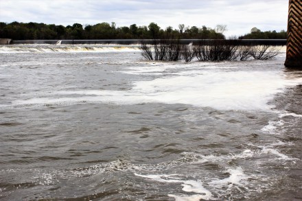
Inside Demopolis LockLooking back at Demopolis Lock and Weir, the river still turbulent
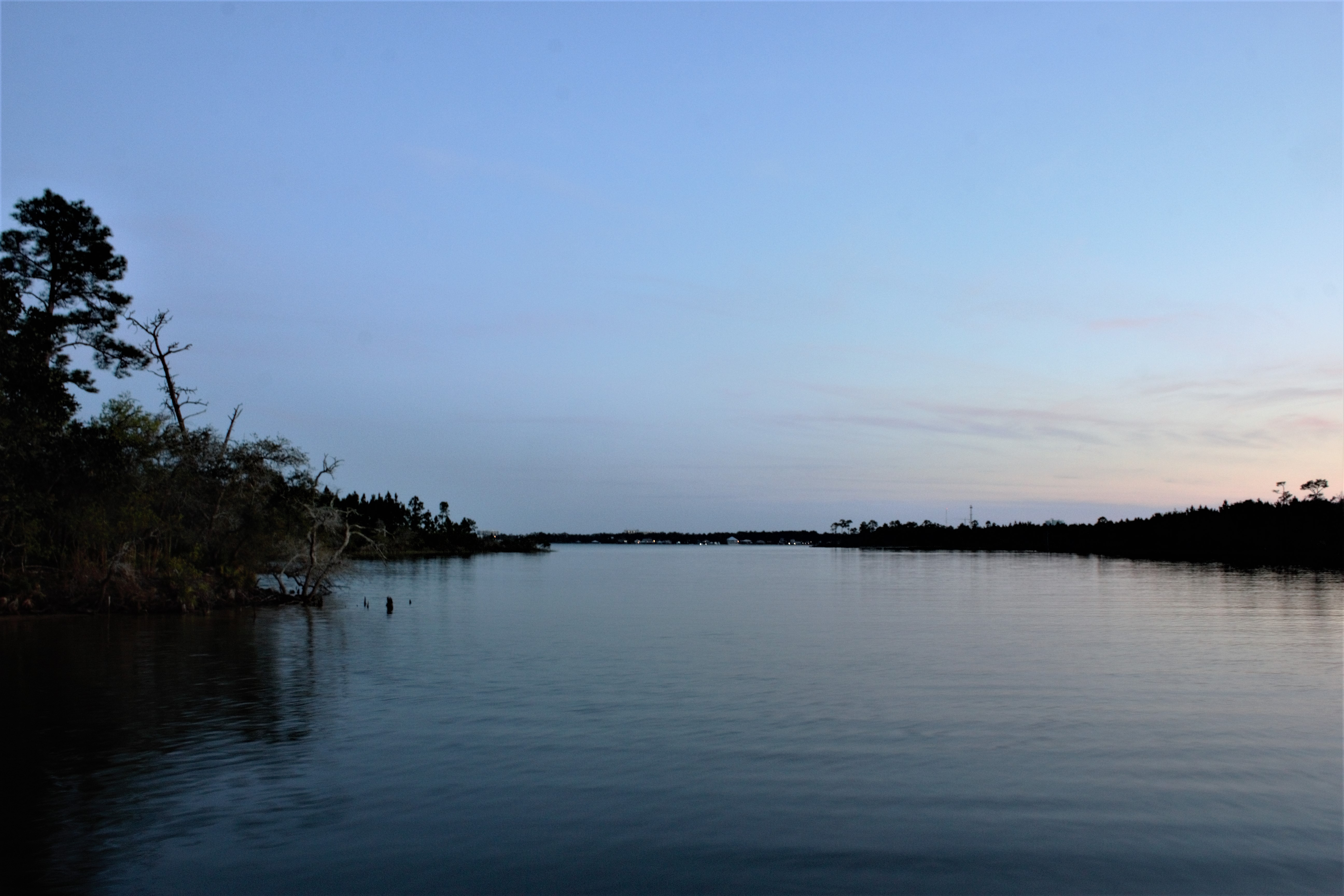
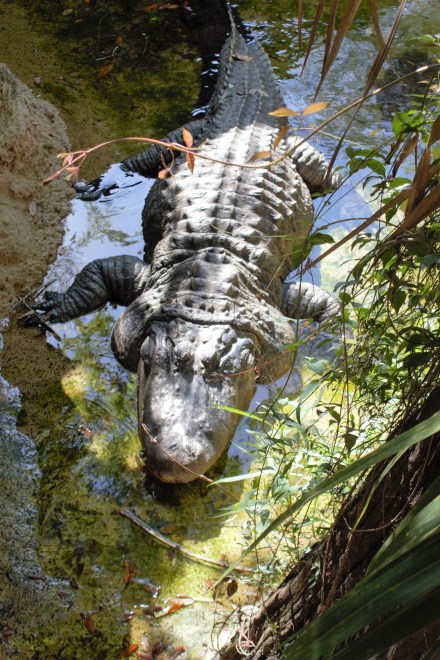
The delay getting through the lock meant that we wouldn’t get to our planned anchorage at Bashi Creek before dark, and we had to anchor instead by the shelter of the Route 10 bridge over the Tombigbee River. The important thing was keeping out of the way of the tows which pass through all night. We set two anchors and kept the cabin light as well as the anchor lights on. As darkness fell, Ian spotted an alligator looking for its dinner.
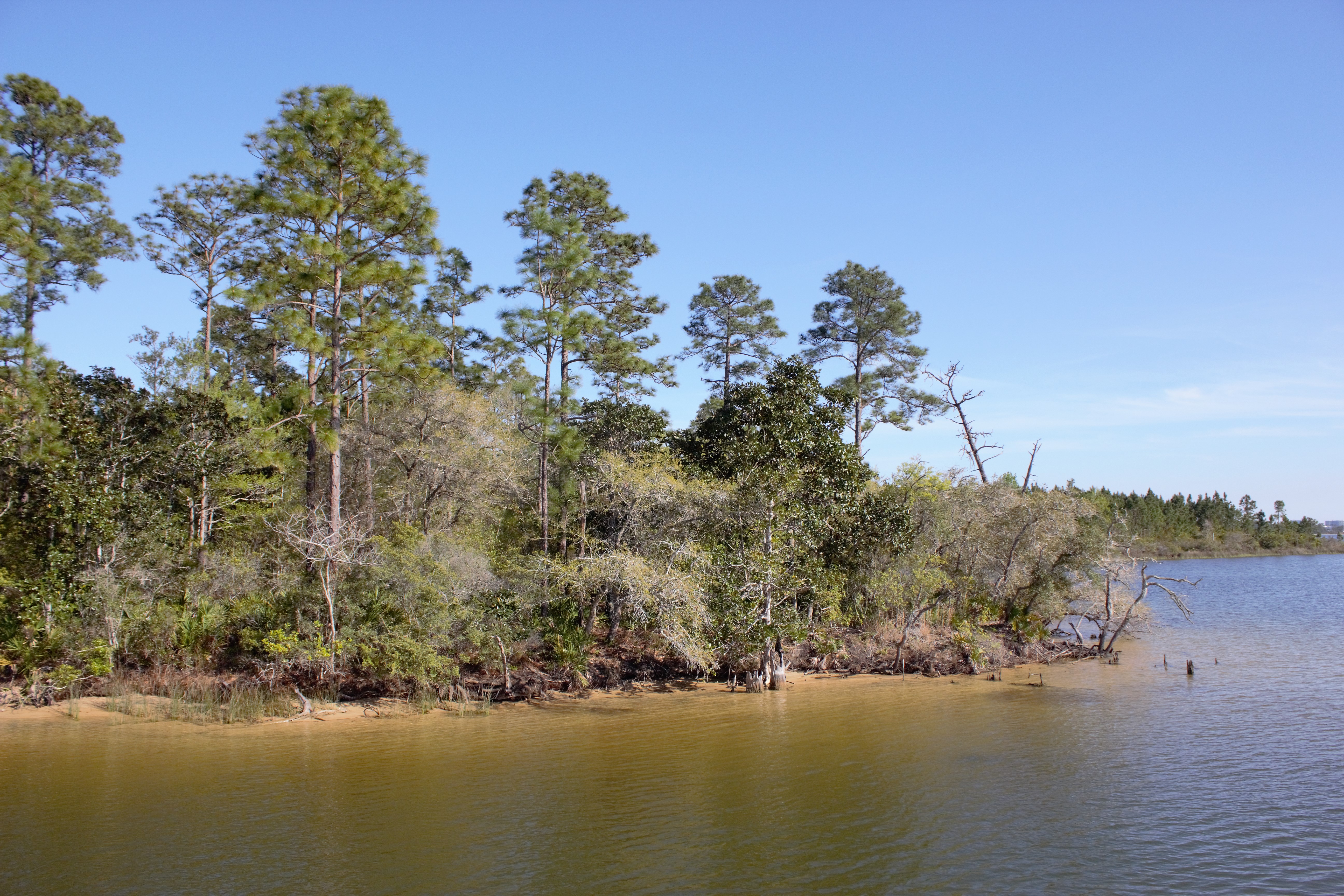
During the winter, the river level at Demopolis had risen to 80’, 40’ above normal. We could now see the evidence of this in the terraces of sand that had been deposited along the riverbanks.
Tow suddenly appearing round the bend
Setting the anchor at Route 10
Close-up of the river bankThe table set for dinner on our first night on the boatSunset on Route 10
We anchored out each night, the second night at Okatuppa Creek in the Choctaw National Wildlife Refuge, and the third at the Alabama River Cut, where a short canal links the Tombigbee with the Alabama River. The only place we could have tied up was Bobby’s Fish Shack, but off-season it’s only open from Thursday to Sunday. Apart from one boat which left Demopolis at the same time as us, we didn’t see a single other pleasure craft. We passed through another lock at Coffeeville, but through no towns or settlements.
Anchorage at Okatuppa CreekMorning at Okatuppa CreekApproaching Coffeeville LockPelicans at Coffeeville LockLeaving Coffeeville Lock
Limestone cliff at Lovers’ Leap
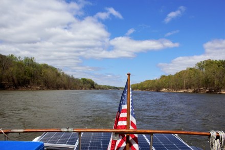
The river widening out as we approach Mobile
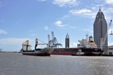
Suddenly we
hit the Mobile Shipping Channel. We’d done the 200 miles in four days, which was a record for Carina, helped by the river
current southwards to Mobile. Everywhere there were tows, barges and big ships.
One of the ships hailed us from what seemed like half a mile away, to politely
suggest that it might be better if we passed him on starboard, rather than on
port, as he needed to come into the dock. As we passed him, he wished us a good
day and a safe trip.
Cochrane Highway Fixed Bridge, Mobile
We tied up
at the transient dock at Dog River Marina, 10 miles south of Mobile. It had
been a long day and the shipping channel had been stressful, but it was good to
have the rivers behind us. It was a bit late in the day and the marina staff
had gone home, but Jim and Lynn, whom we’d met at Demopolis, were on the dock
next to us and helped us tie up.
Being back in New Orleans felt good. We knew where we were going.
We didn’t have to do that thing of wandering around a strange city, furtively glancing at Google maps on our smartphones, trying not to look like tourists, not knowing whether we were walking east or west and suddenly being surprised at the appearance of a famous landmark or geographical feature where we least expected them. On our first trip, I’d been confidently walking towards what I imagined was Lake Ponchartrain, only to find that the expanse of water I was looking at was actually the Mississippi River.
The Hotel St Pierre, where we stayed in November, had sadly moved itself out of our price range. So instead, we stayed at the French Market Inn on Decatur Street. It was nice enough and the staff friendly, but it wasn’t in quite the same class as the Hotel St Pierre.
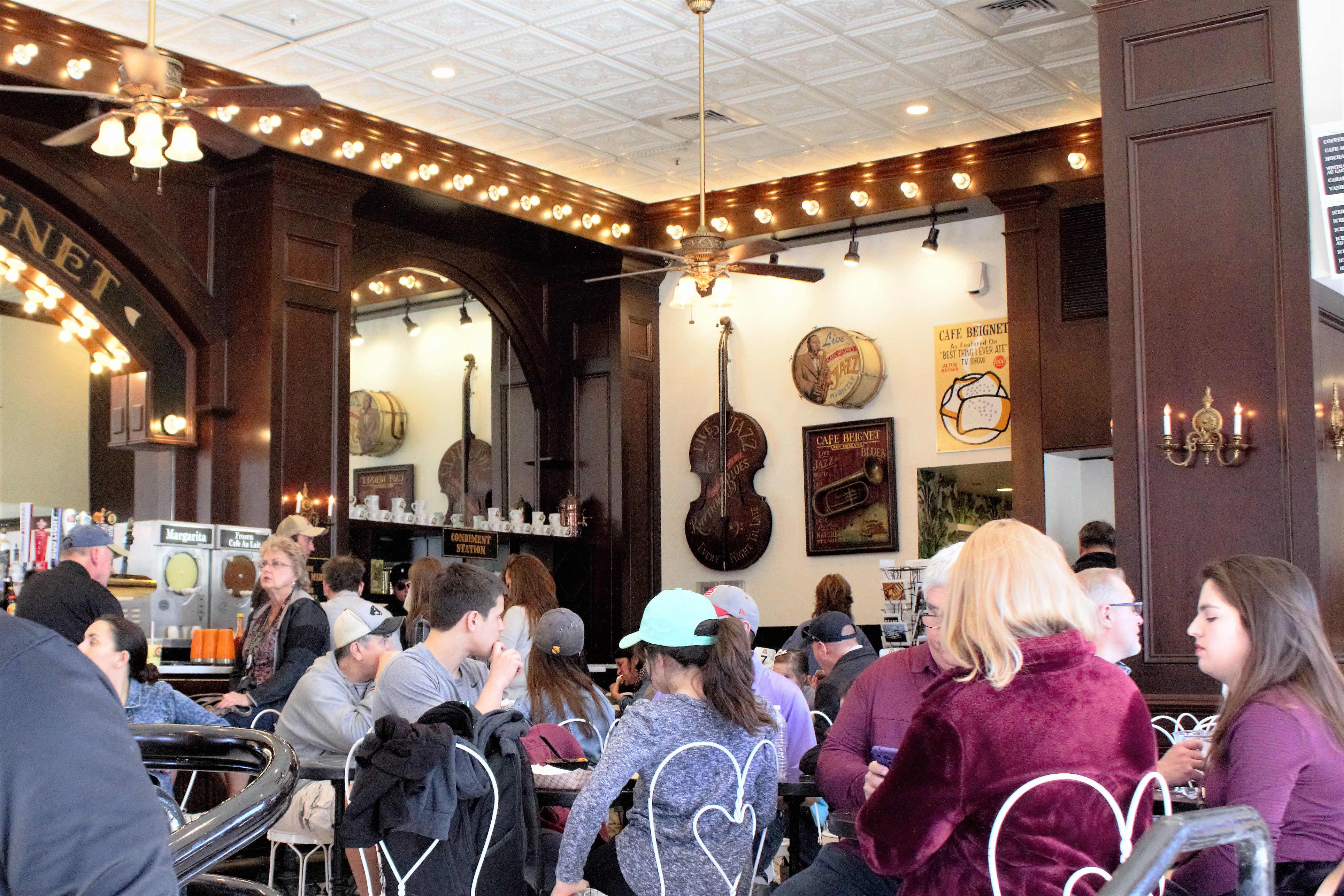
Before dropping us off, Kamal, our Lyft driver, had presented me with a string of emerald green New Orleans beads, and recommended the Cafe Beignet for lunch. It was just across the road from the hotel, and as there had been no refreshments on offer on the flight from DC, going there seemed a good plan.
The cafe was busy and crowded, but we got a table and listened to Richard Scott on keyboard. It set the mood nicely.
At the Cafe Beignet
Richard Scott playing the Cafe Beignet
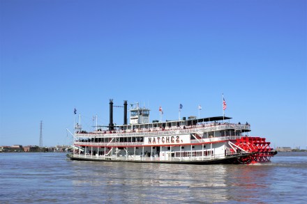
Afterwards we wandered down to the riverfront.
Monument to the Immigrant on the riverfrontSteamboat Natchez
On an impulse, we took the Canal St Ferry across the Mississippi to Algiers Point, one of the oldest parts of New Orleans. We wandered the old streets which, with the church on the green, were a quiet contrast to the bustle and tourist-y feel of the French Quarter.
Houses in Algiers Point
By this time we craved tea. We passed two promising-looking establishments, but they had both closed at 3 o’clock. We had to have beer instead, at the Old Point Bar, which claims to be the oldest bar in New Orleans. Neither the interior nor the exterior appeared to have undergone much up-dating, but as we were finishing our drinks, some women appeared with trestle tables which they proceeded to set up at one end of the room, with piles of plates, cutlery, several large cooking pots, and some mild disagreement about what should be put where. It turned out that it was Taco Tuesday, and they were obviously expecting a crowd. Apart from the tacos, the scene could have been any village hall in England.
Old Point Bar, Algiers Point
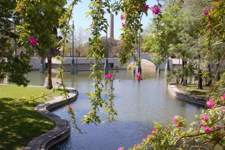
We walked back along the levee towards the ferry point. There had been lots of rainfall and river flooding during the winter and the river level was still very high.
New Orleans from Algiers Point and the Mississippi in floodMorgan St, Algiers PointCanal St at dusk
On the recommendation of the lady on the front desk at the hotel, for dinner we went to Coop’s on Decatur St. There was a ‘line’ of several people, and when we finally got a seat, it was a perch at the bar. The food was good, but it was a relief to get away to the Spotted Cat where the Smoking Jazz Club were playing.
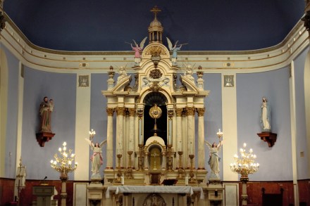
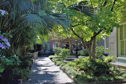
The next day we went to the Old Ursuline Convent, founded by French nuns in 1726. In 1824 the convent moved, and the original buildings are now a museum and a wedding venue. But the beautiful chapel is still used as a church.
In the garden of the Ursuline ConventThe Convent courtyardSt Mary’s Church, Old Ursuline ConventRoyal St, near the Ursuline ConventCornstalk Hotel, Royal St
On the way we had spotted the Cafe Amelie, in a lovely courtyard off Royal St. But we’re still not really in tune with how early Americans seem to eat, and we arrived at 11.45 for lunch, only to be told there would be a half-hour wait for a table. So we went down the road to the rather cheaper Petite Amelie instead.
Cafe Amelie, Royal St
We had thought about doing a swamp tour. I had always wondered what the bayous were like. But there seemed something a bit perverse about paying a lot of money to go on a boat trip, when you were going to spend the next 8 weeks doing your own boat trip.
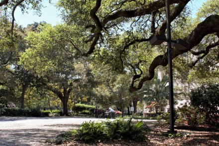
So after lunch we walked to the Treme to see the Louis Armstrong Park
Louis Armstrong Park, Treme
Congo Square, Louis Armstrong Park
Congo Square was where enslaved and free people of colour were allowed to gather on Sundays and play their own music, the roots of New Orleans jazz.
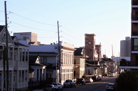
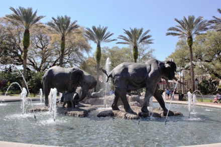
The park turned out to be rather smaller and less interesting than it seemed on the map, so we took an Uber to Audubon Zoo in the Garden District.This turned out to be an inspired choice. The zoo was beautifully landscaped, and one area was a Louisiana swamp.
We took the streetcar back and had dinner at the rather quieter Evangeline Restaurant on Decatur, before going on to the Starlight Lounge where Tuba Skinny were playing.
Tuba Skinny at the Starlight Lounge
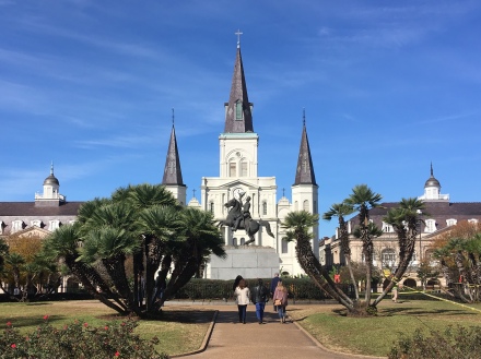
In the morning we had time for one last walk by the river before leaving for Demopolis. The Cathedral Basilica of St Louis made a stark outline against the cool spring sunshine.
The Cathedral Basilica of St Louis and Jackson Square