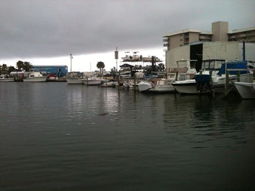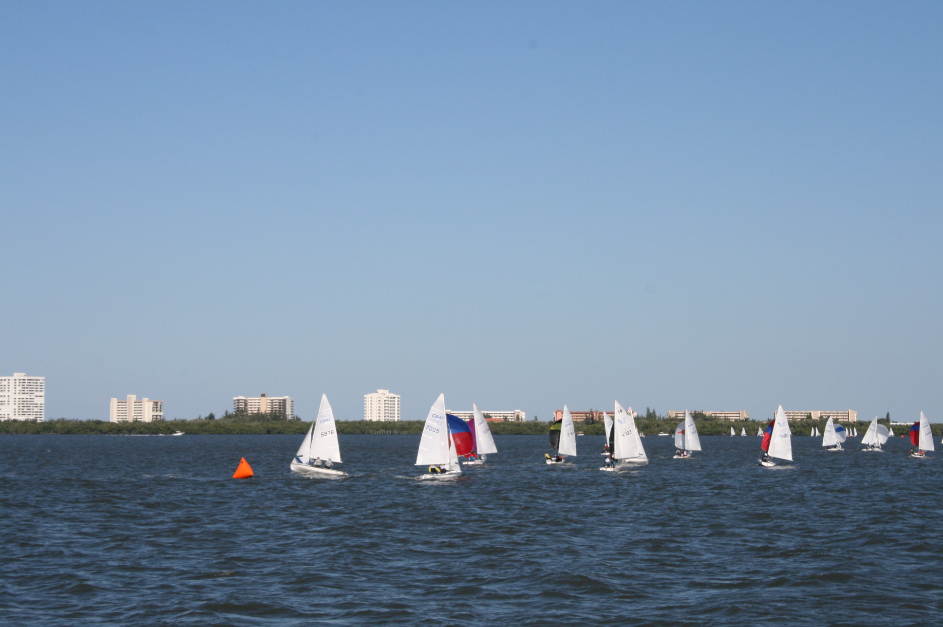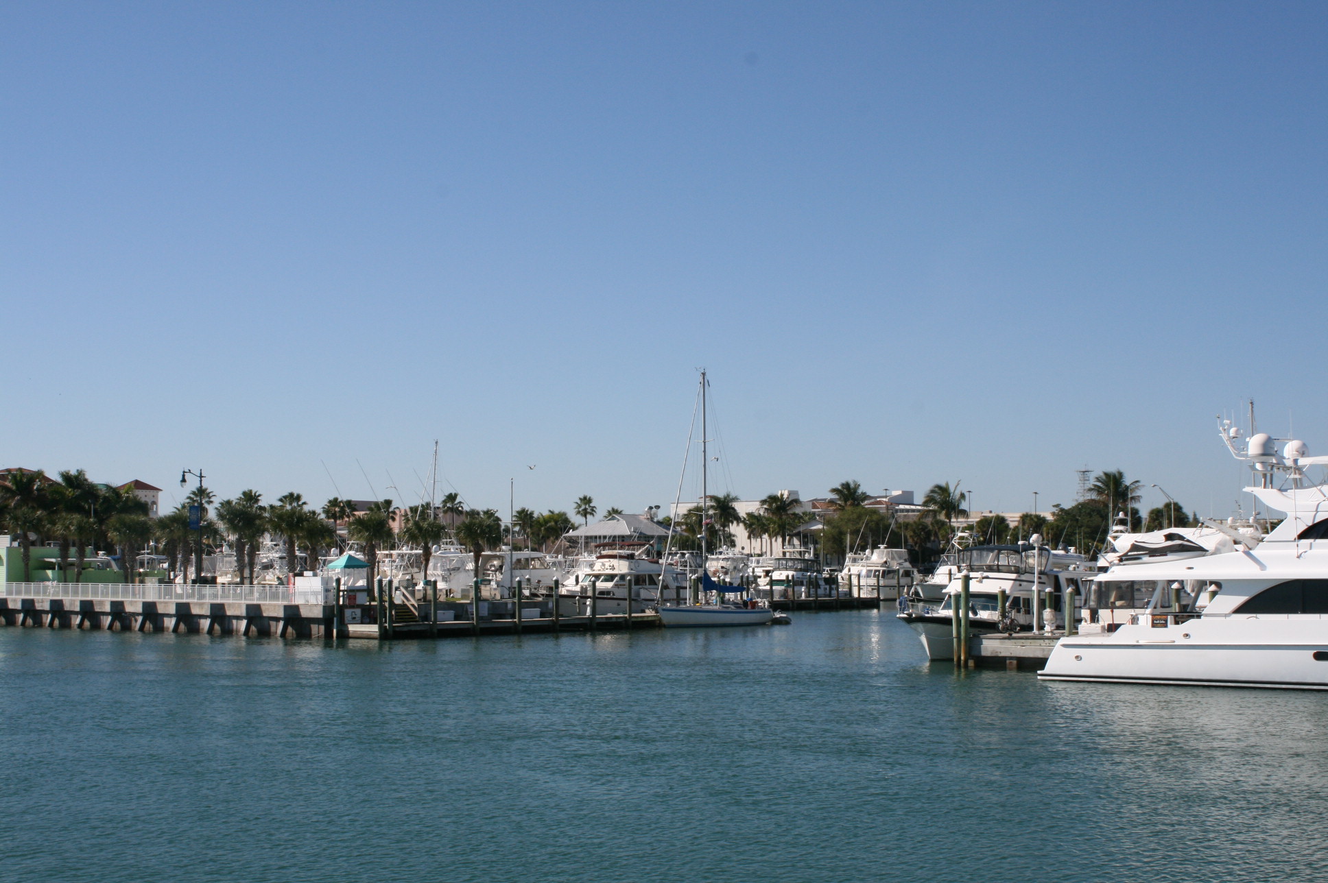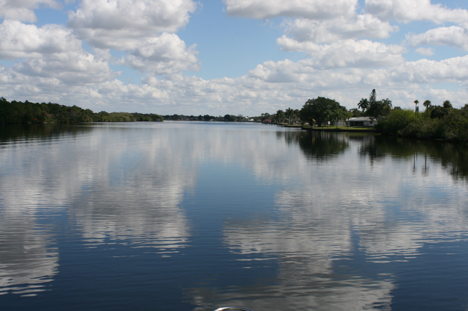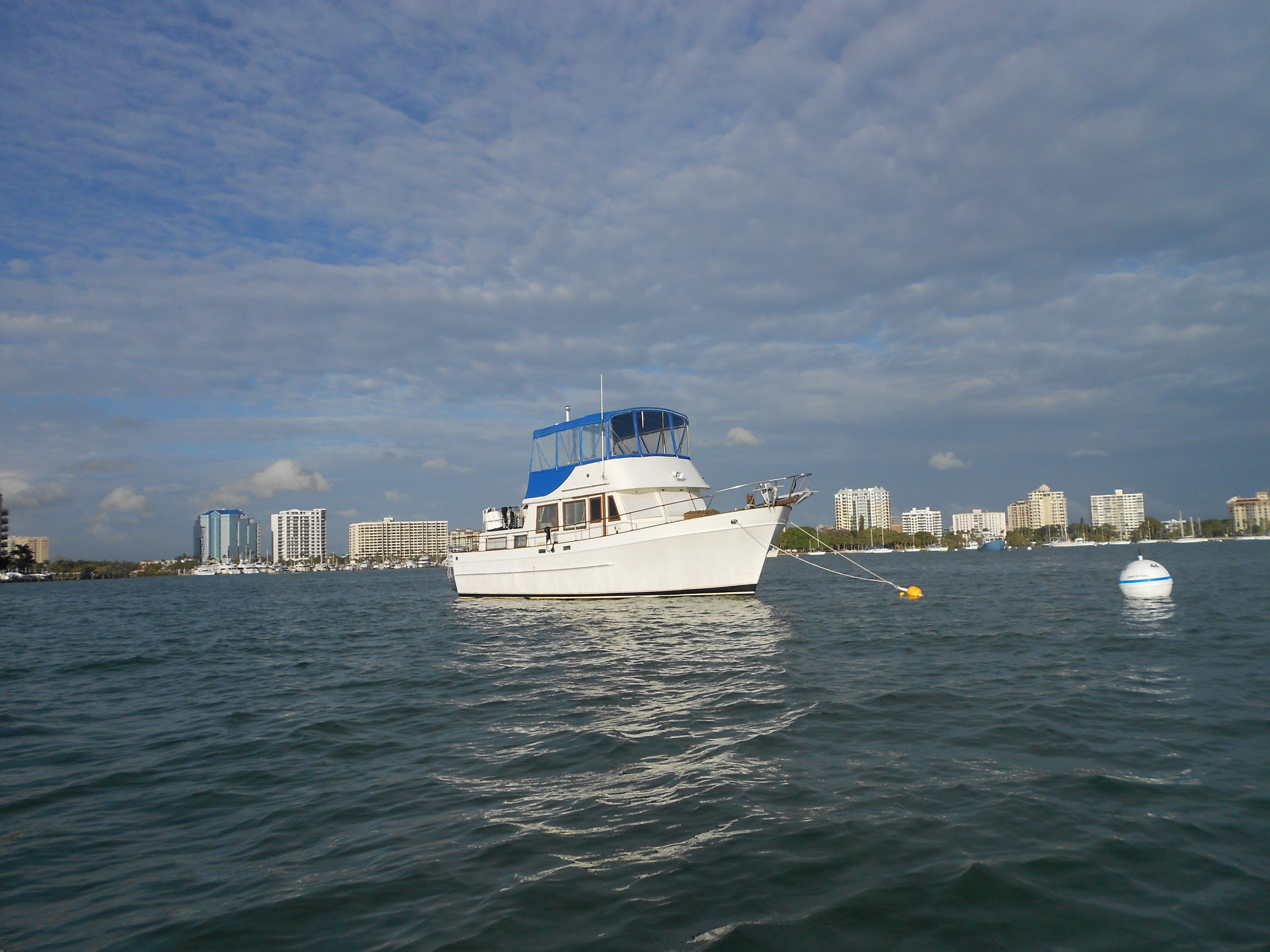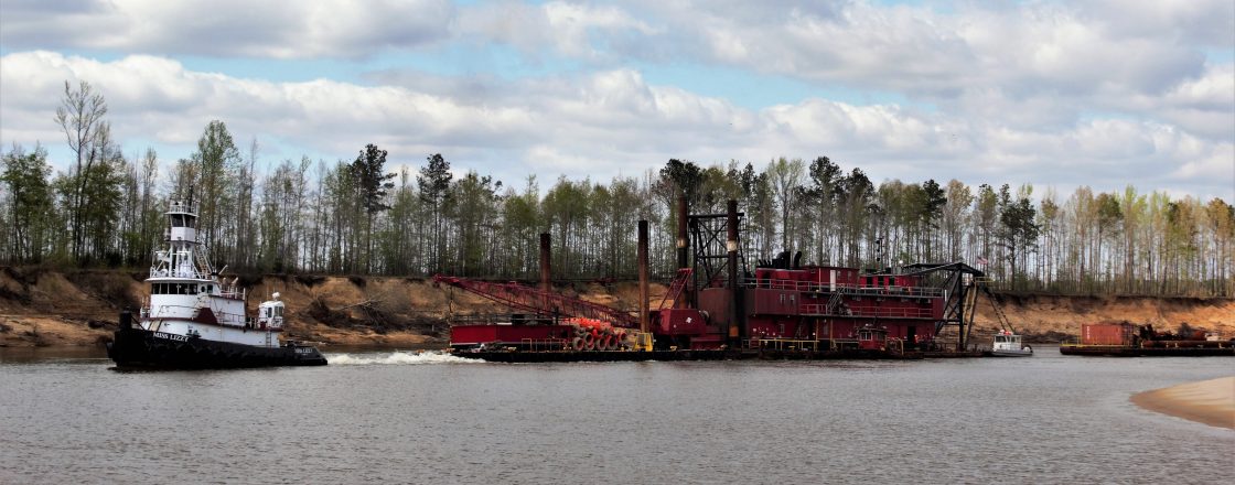
Daytona Beach had not really sounded like our kind of place when we consulted the Lonely Planet Guide, but it was a convenient place to stop, so we anchored just off the channel in the waterway, away from the beach itself. It wasn’t really as I had imagined – very few high-rise buildings, and no evidence of the Daytona 500 2014, which had been cancelled the day before, because of heavy rain.
We’re gradually getting used to doing things at the American times of day – starting early, and eating early in the evenings in particular. I’ve noticed that if we arrive at a restaurant at 8 o’clock or later, we’ll usually have missed the busy time, and just occasionally the staff will be sending out subliminal messages that it will soon be their going-home time.
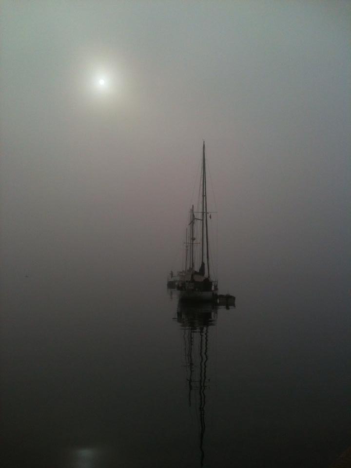
So it wasn’t too much of a hardship to be woken at 6.30am by the noisy cries of some passing rowers.
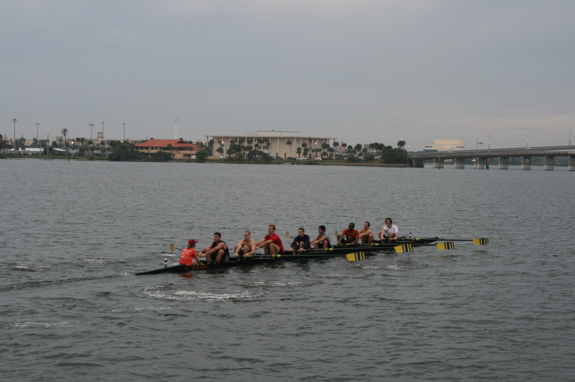
The rowers coming back at 7.30
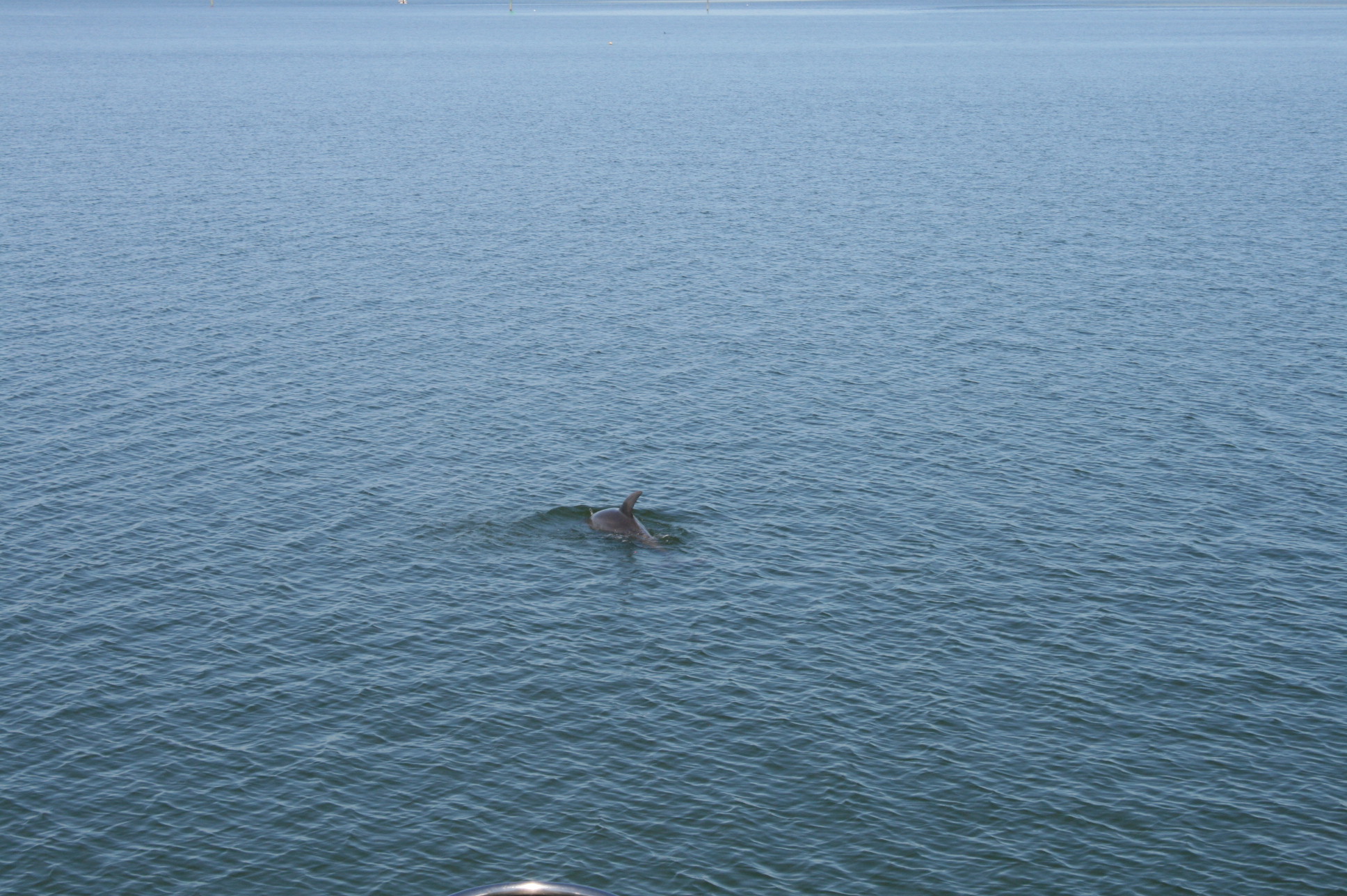
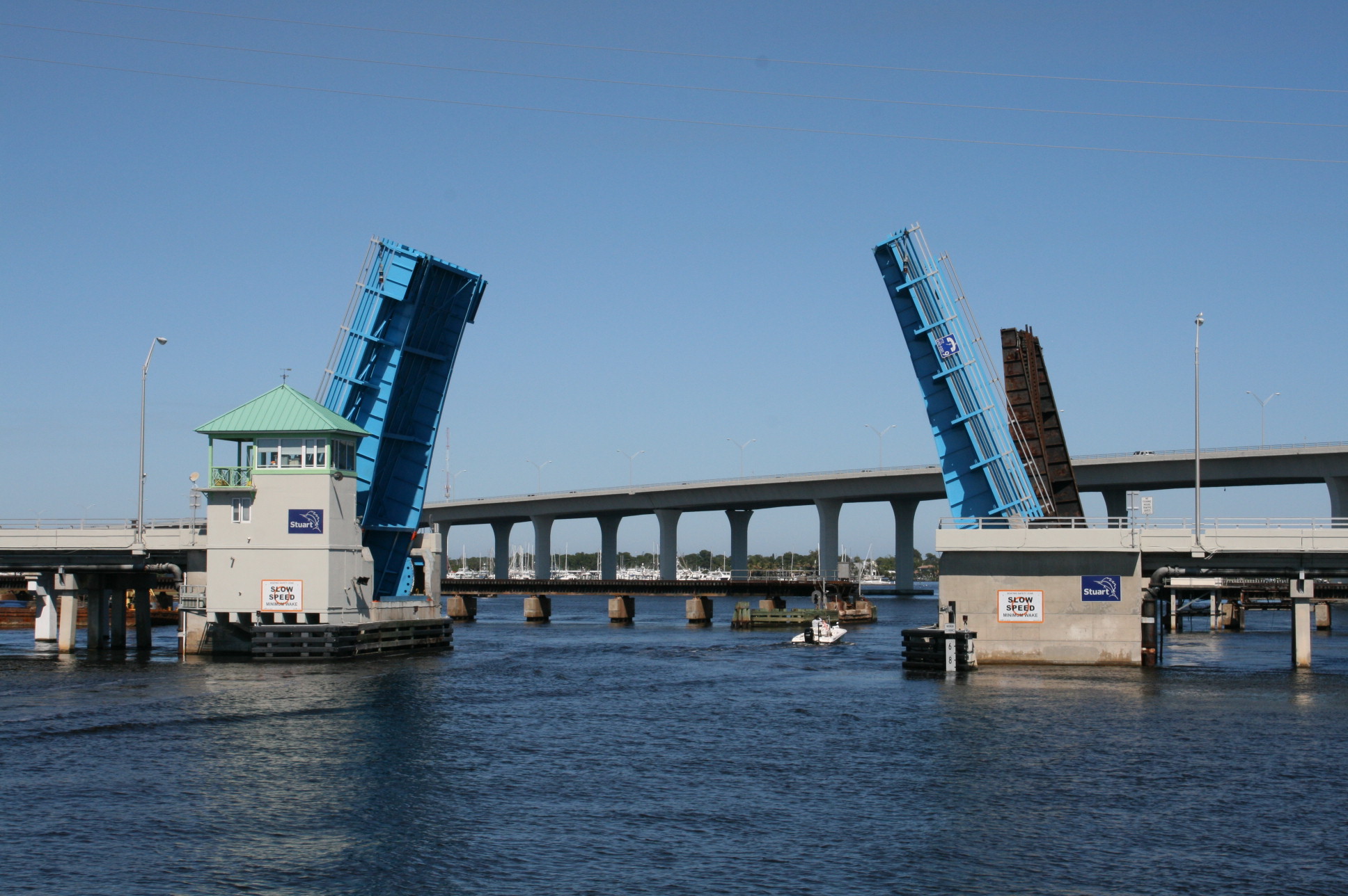
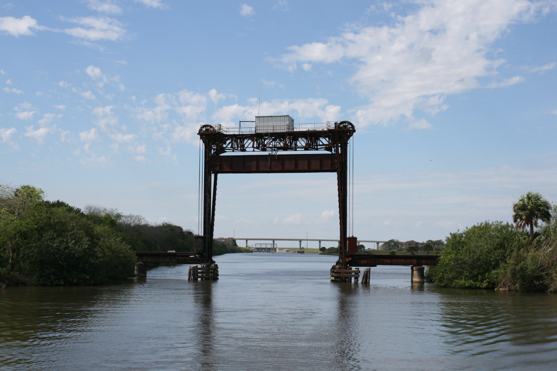
The other notable thing about Daytona was this bridge, decorated with manatees and dolphins in mosaic.
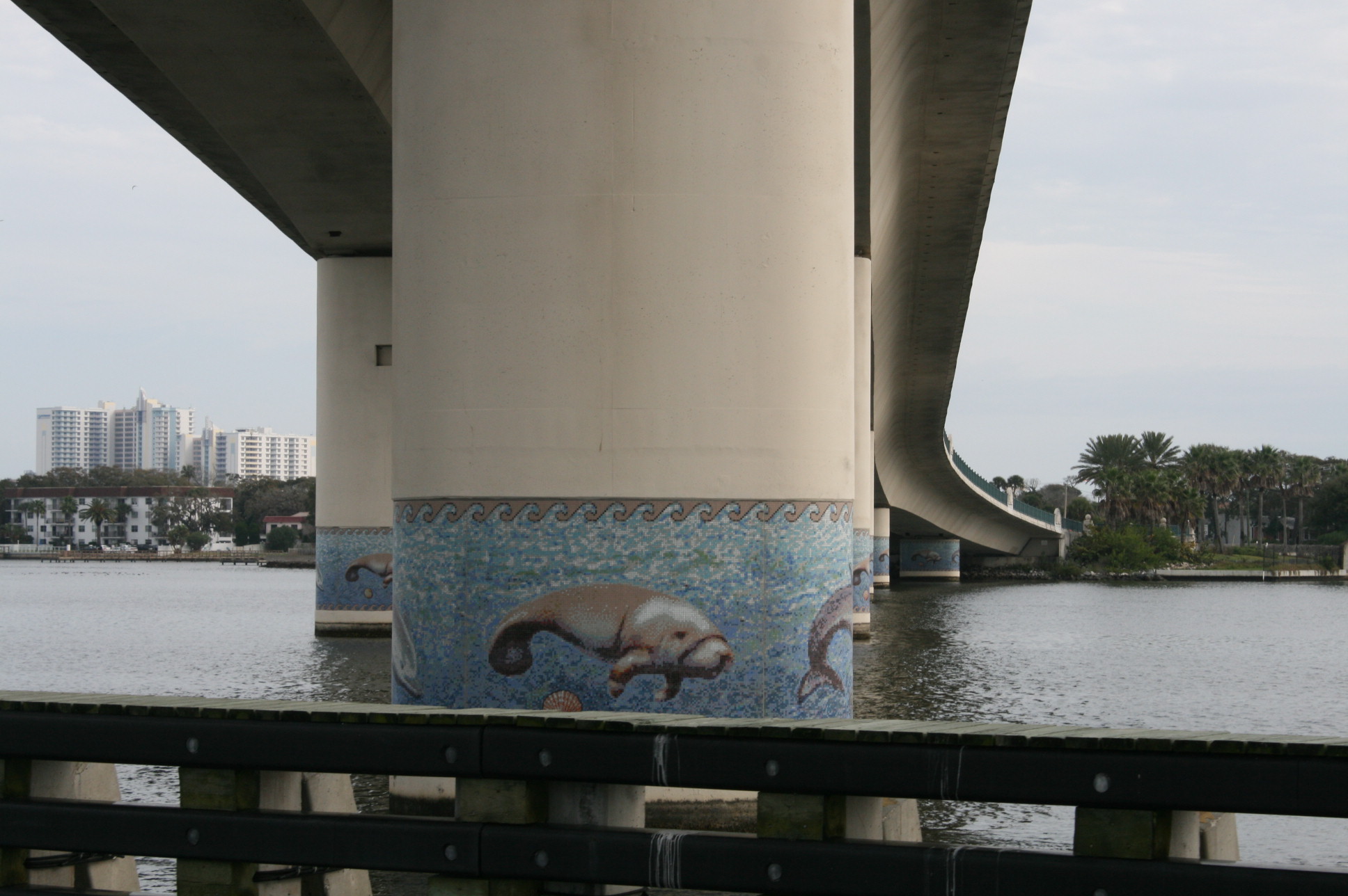
Bridge over the ICW at Daytona Beach
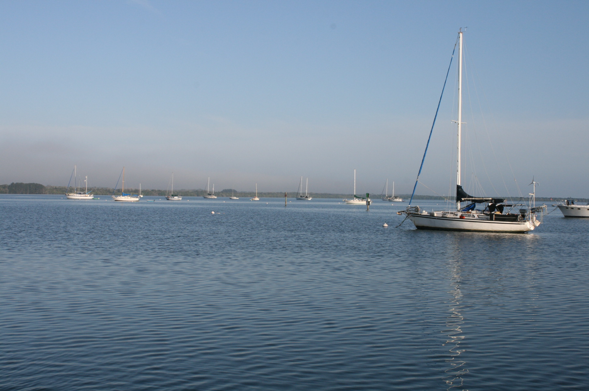
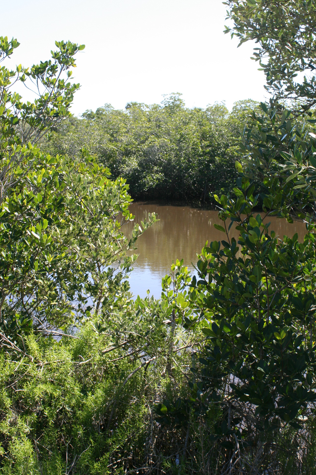
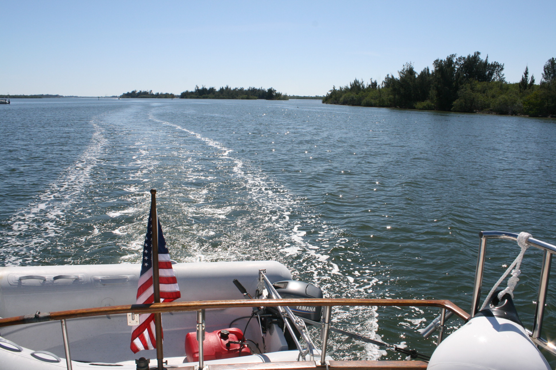
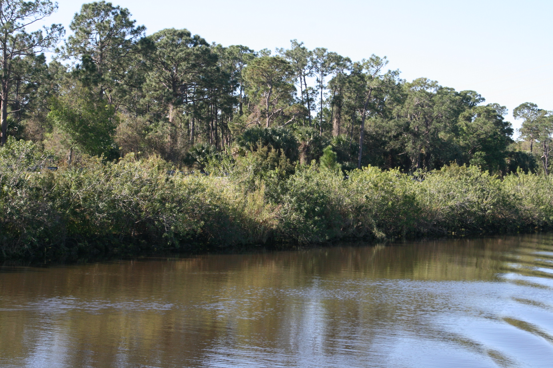
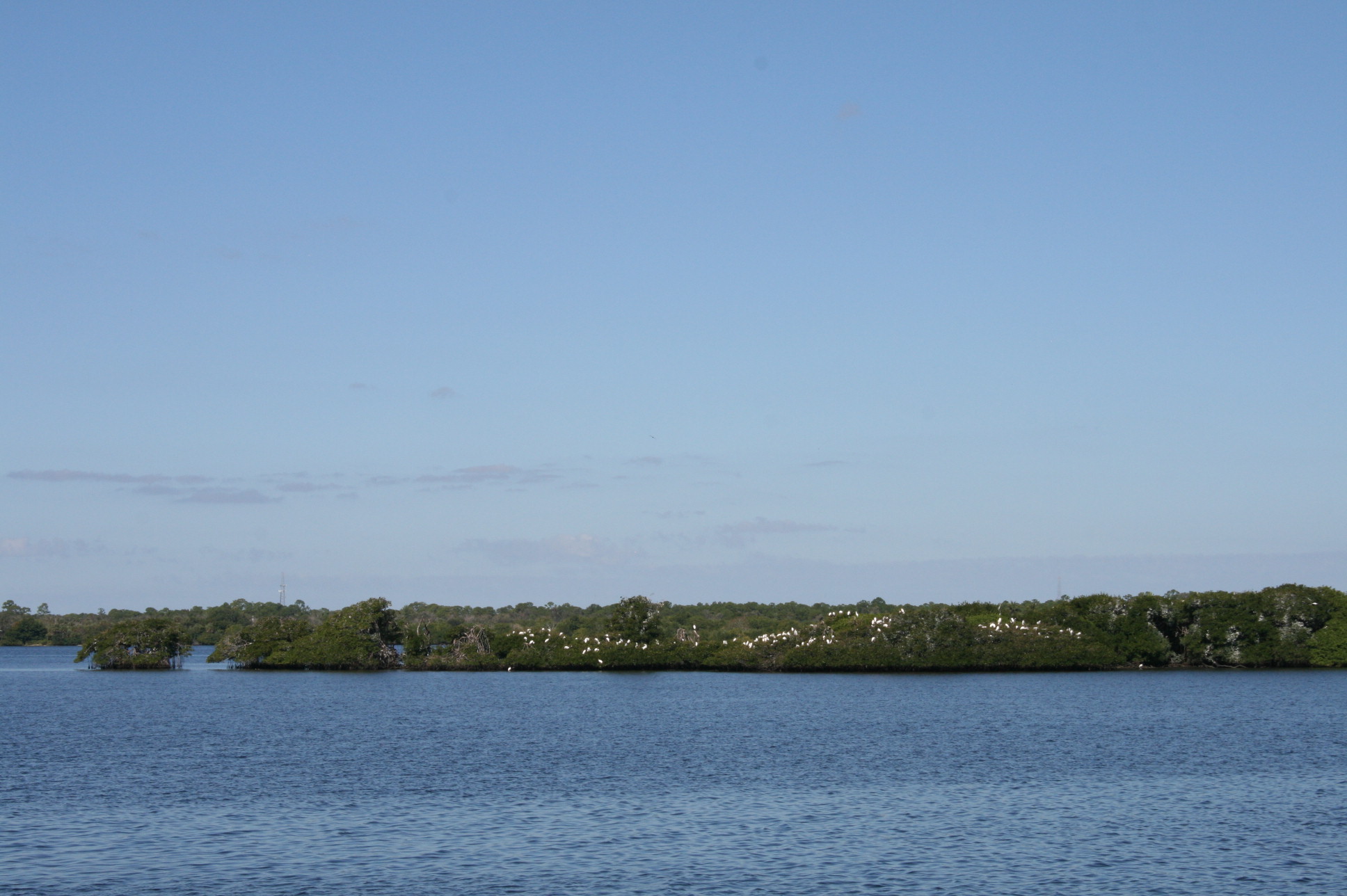
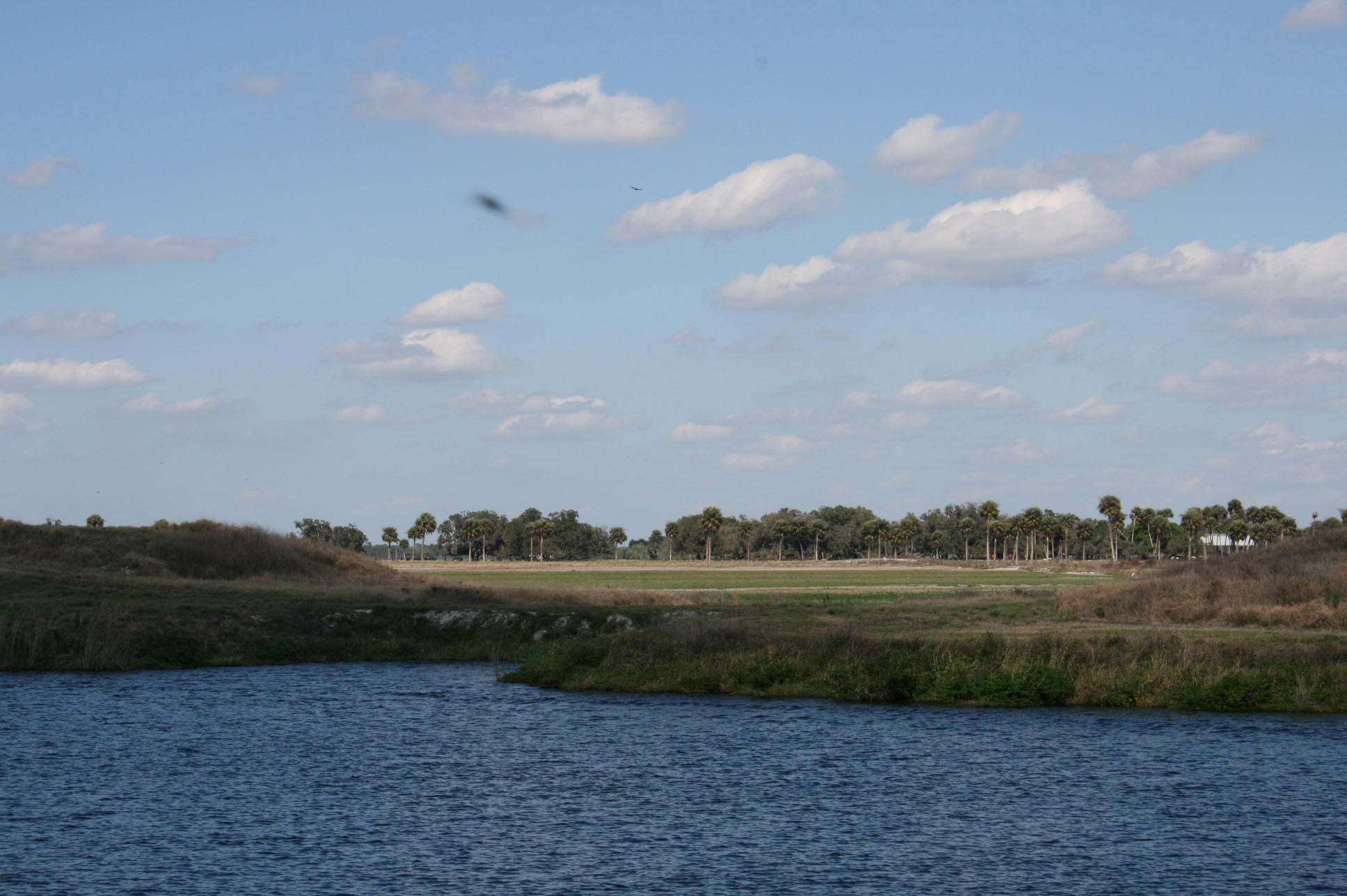
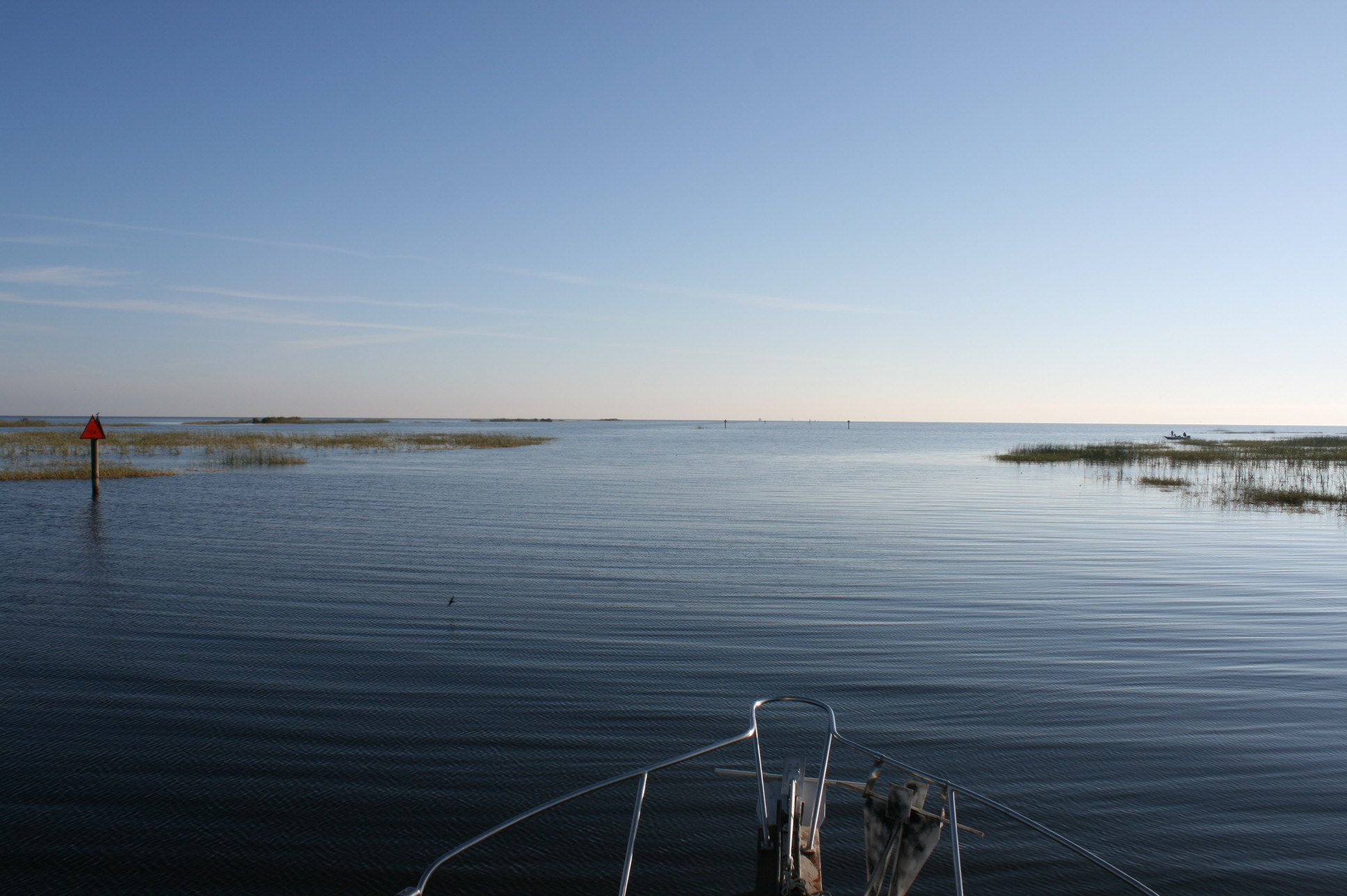
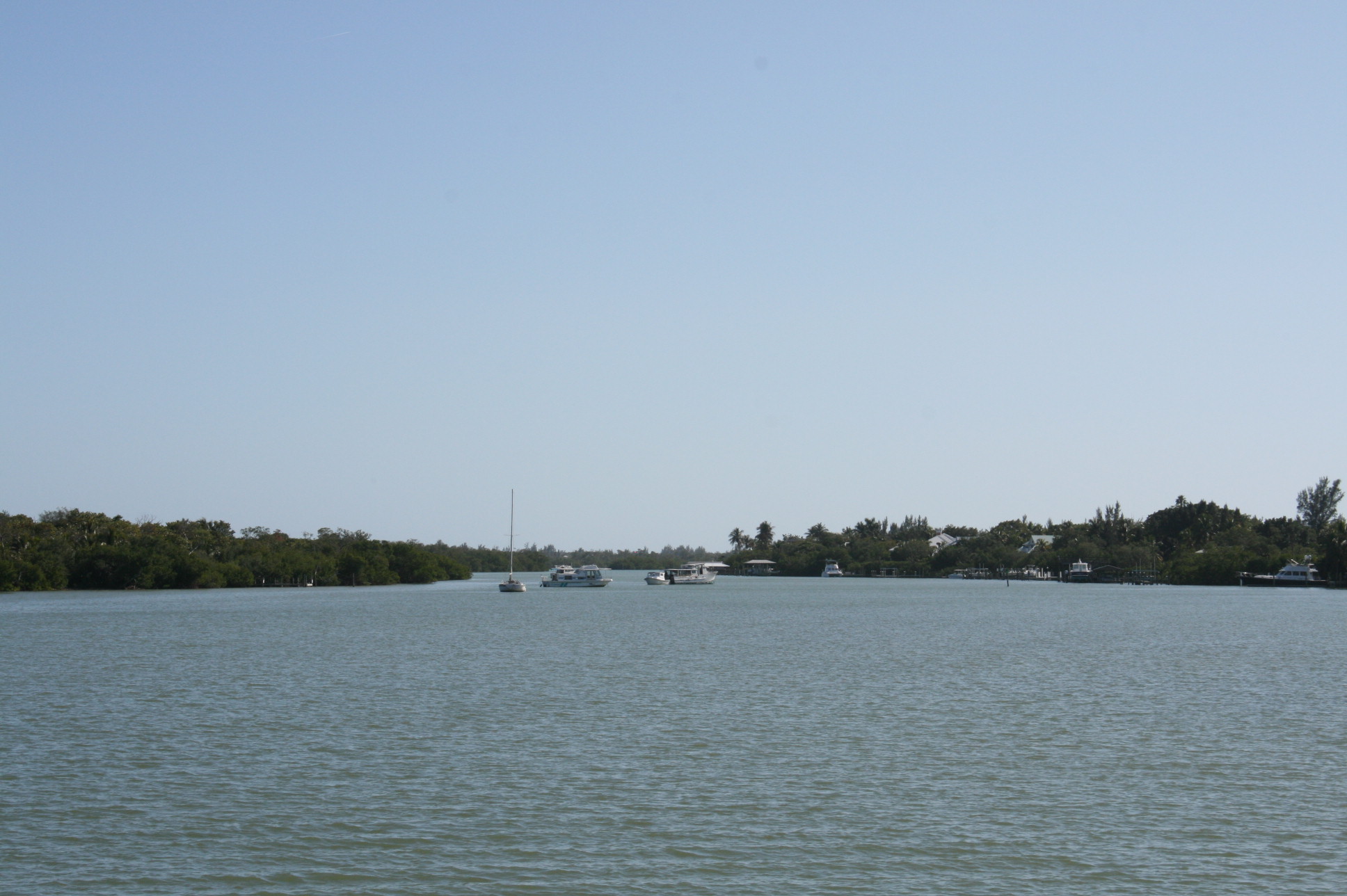
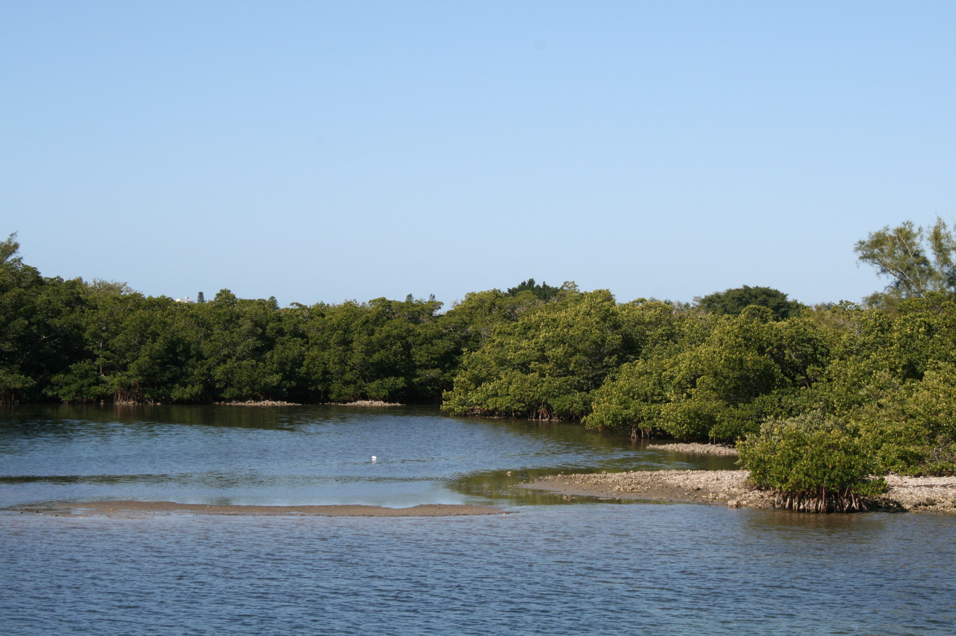
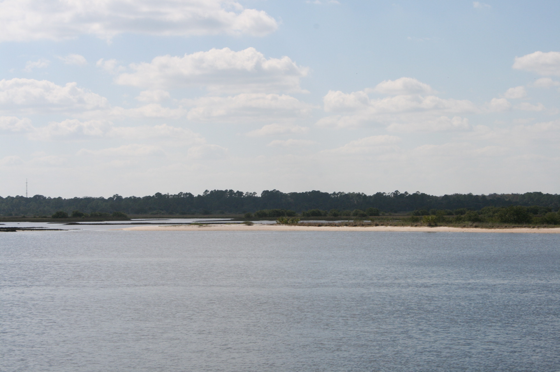
After Daytona, we passed a large lagoon, the Tomoka Basin, to our left.
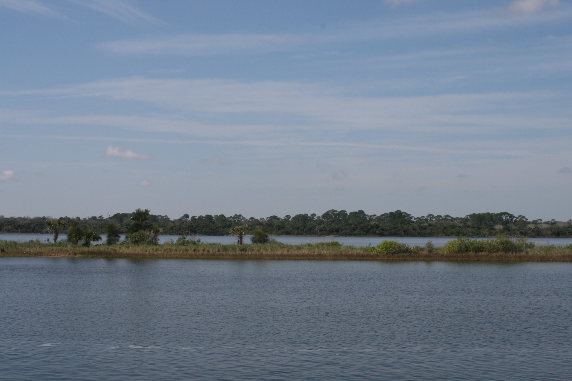
Tomoka Basin
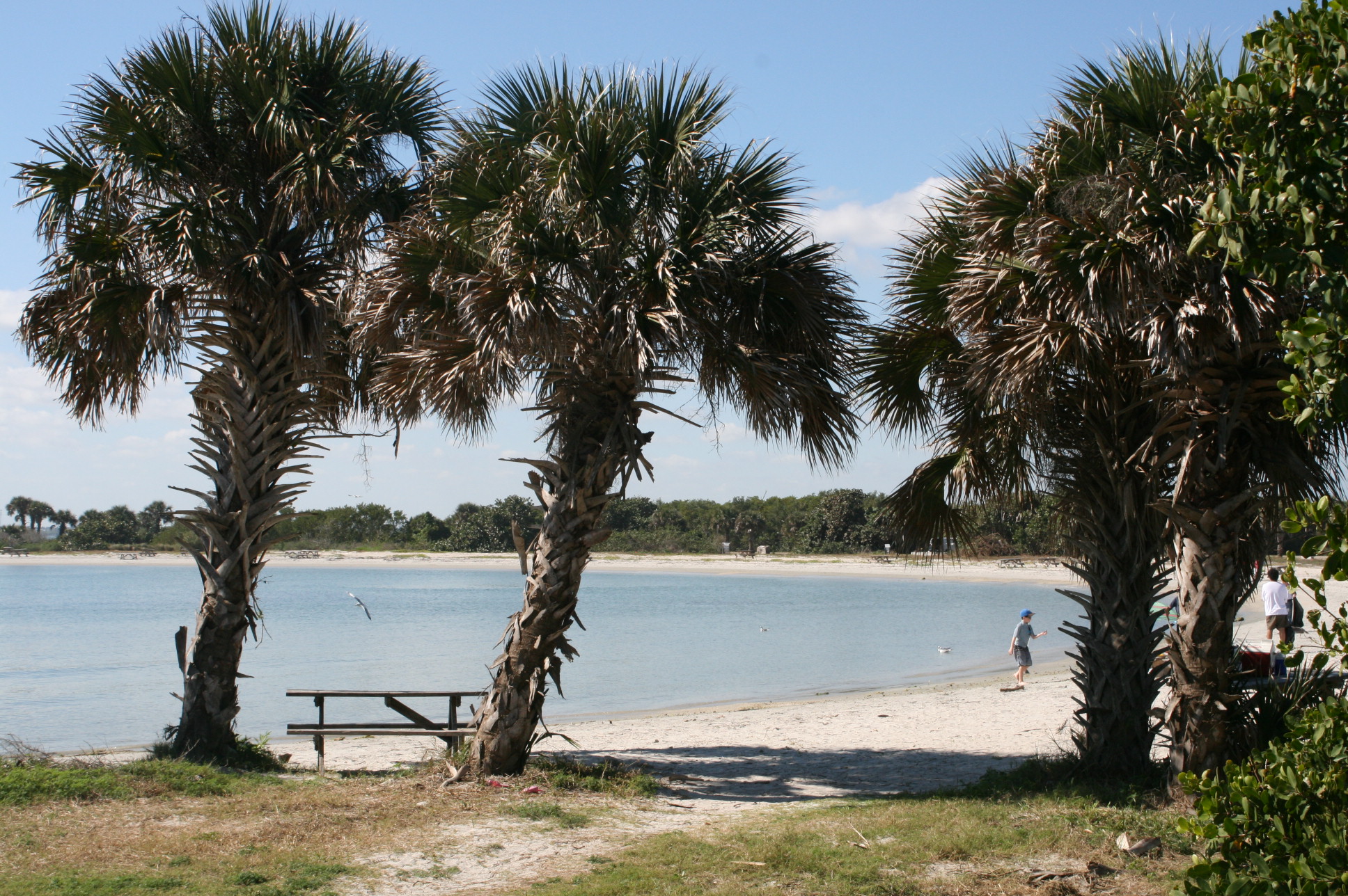
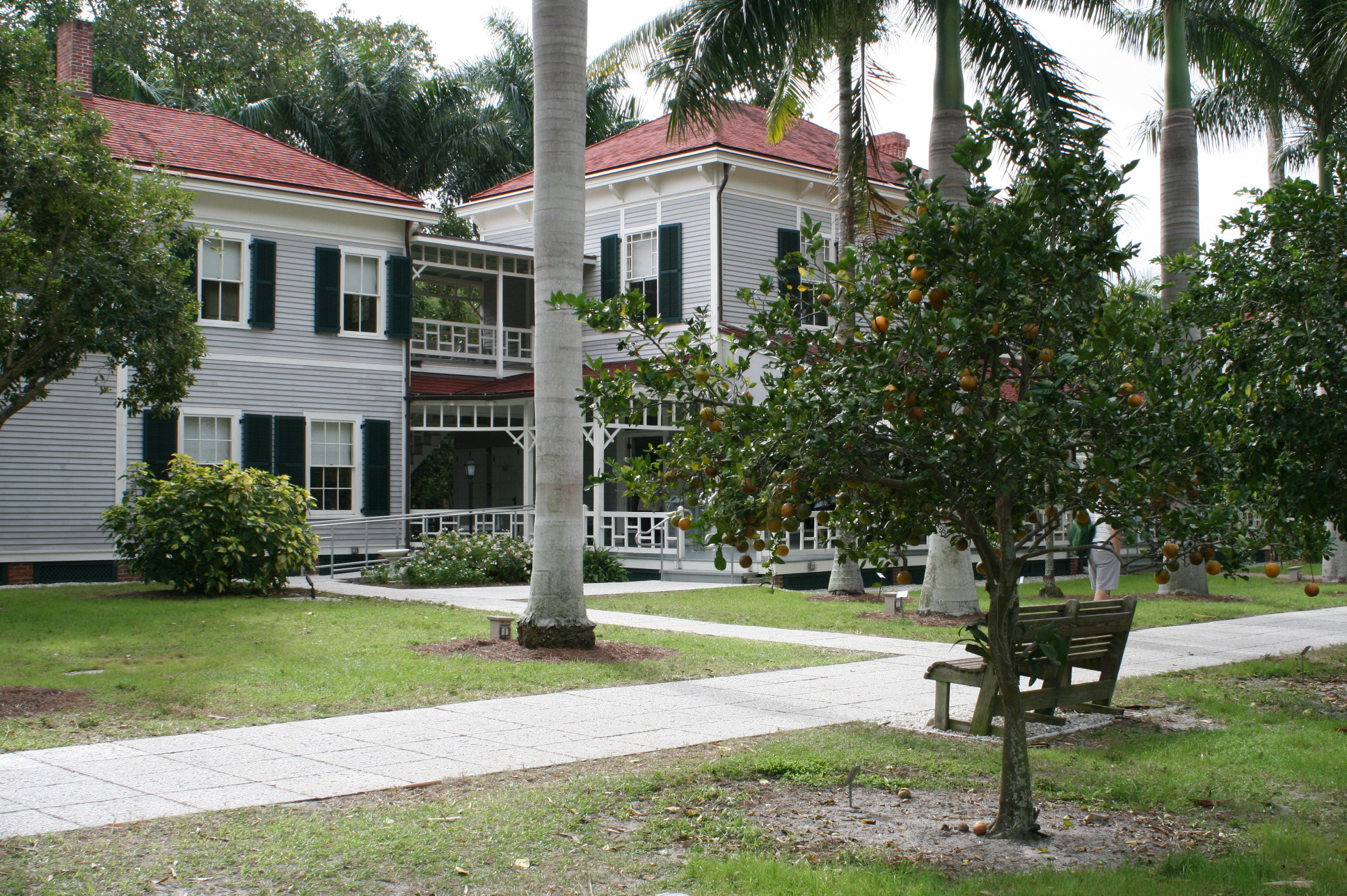
There are several State Parks north of Daytona, and the whole area is beautiful and unspoiled. This is Washington Oaks, north of Palm Coast.
Washington Oaks State Park
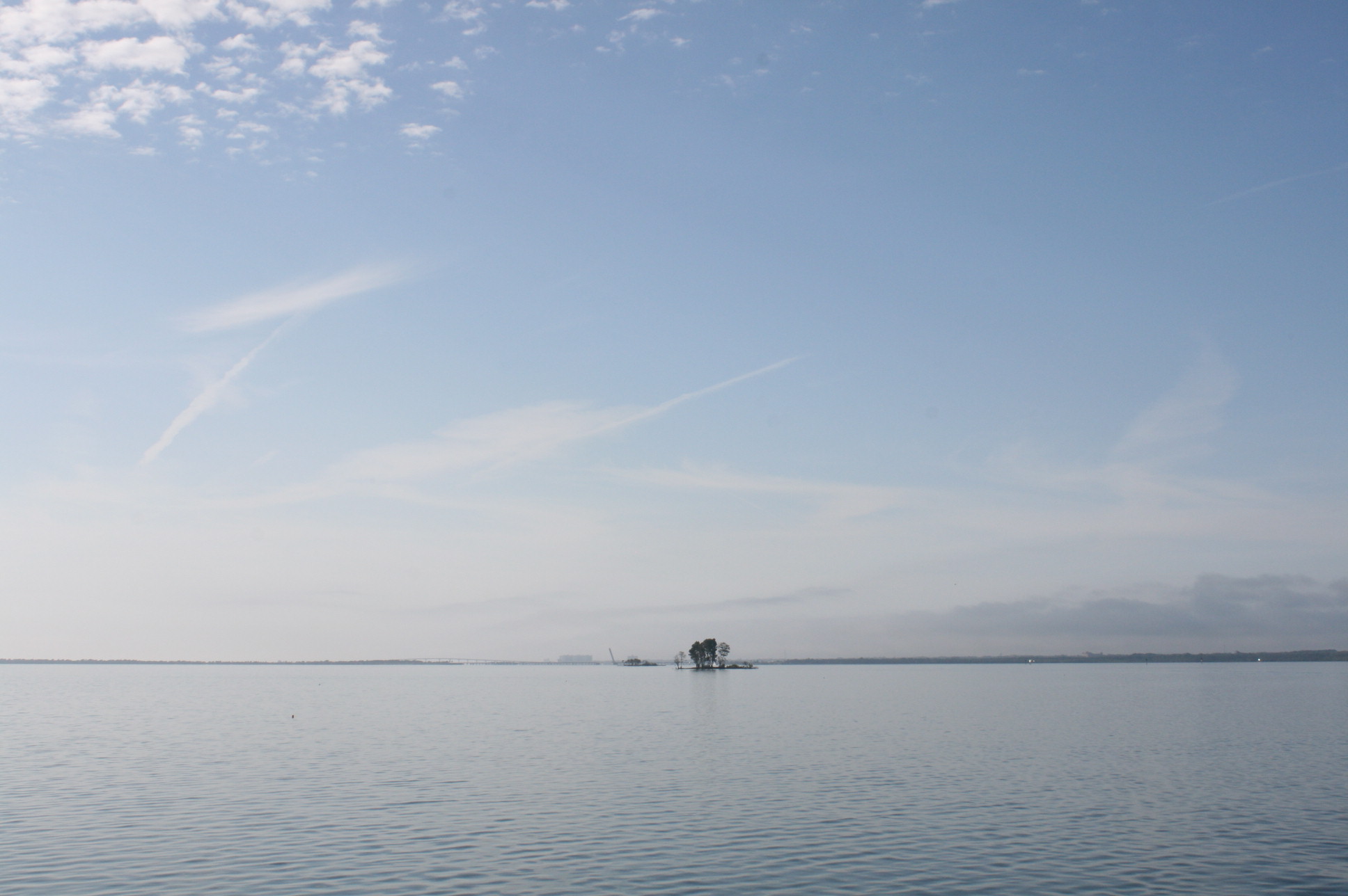
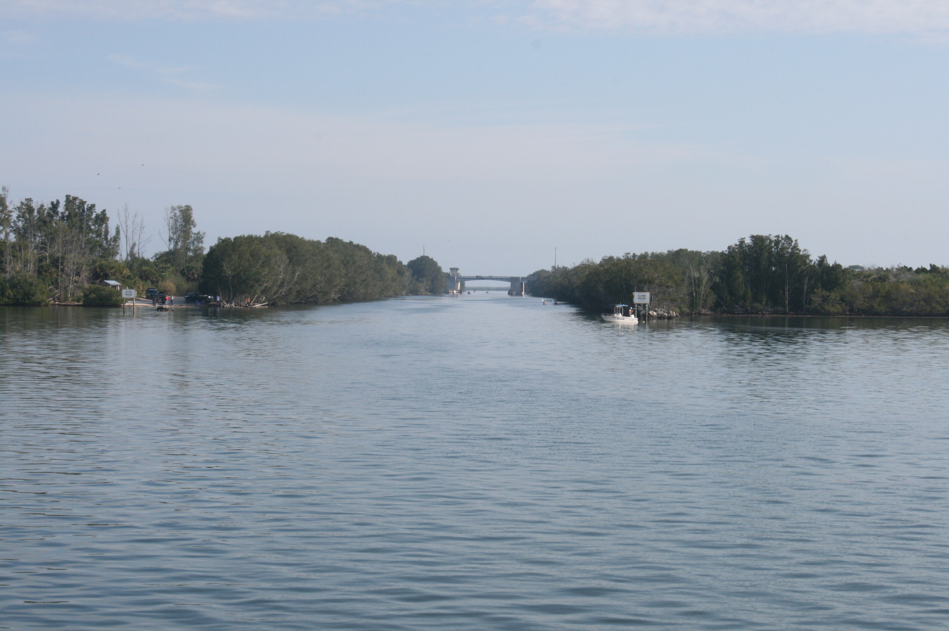
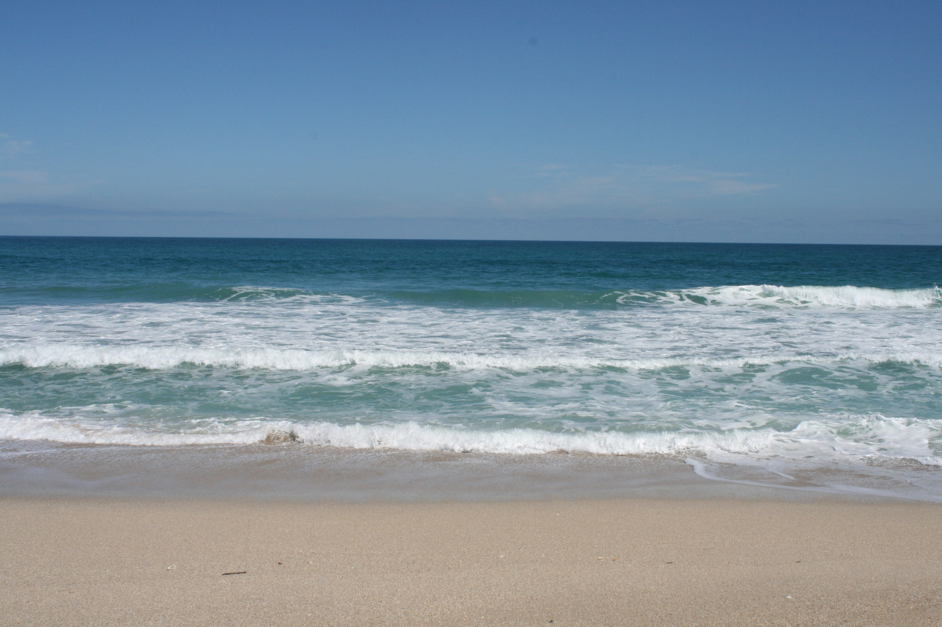
At Summer Haven, there is only a narrow strip of land separating the waterway from the ocean.
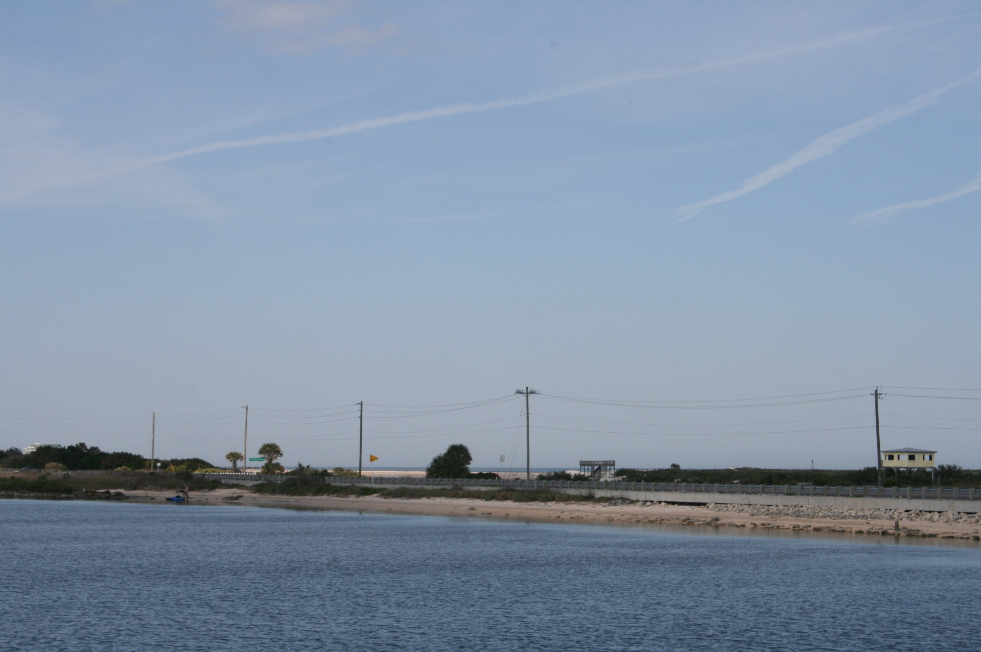
A glimpse of the Atlantic at Summer Haven
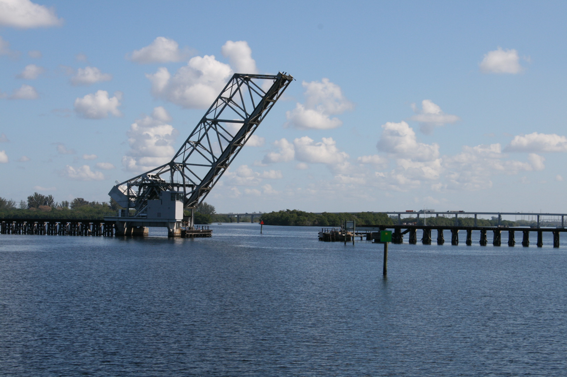
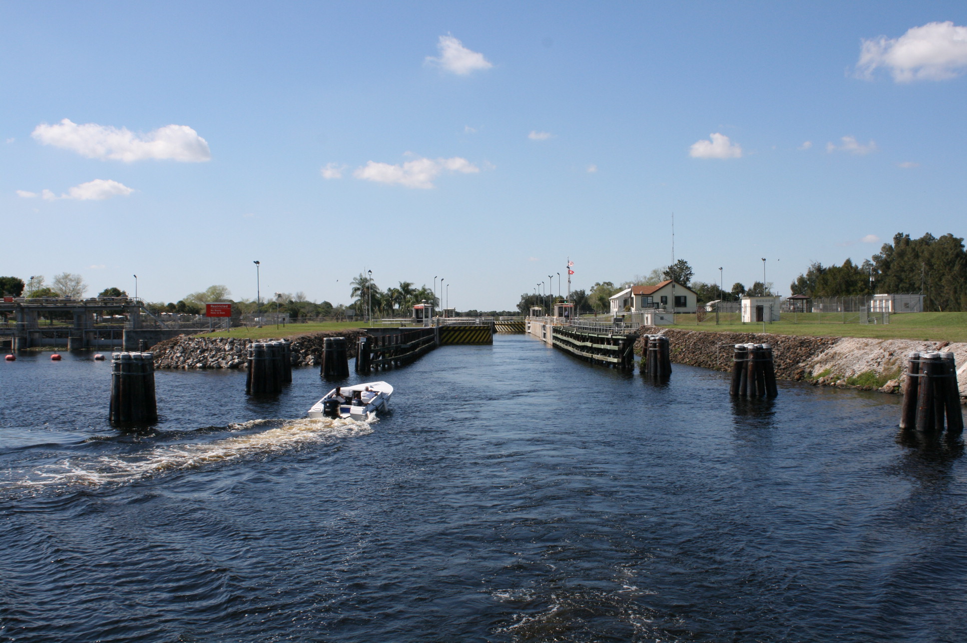
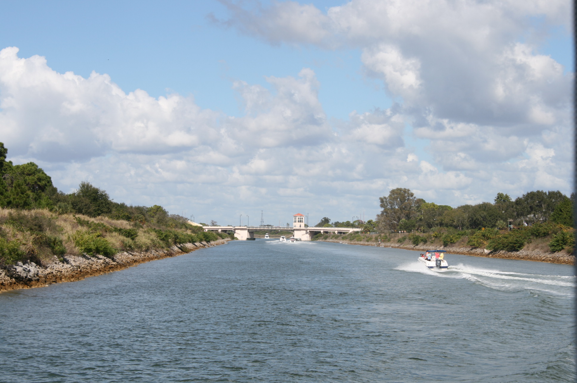
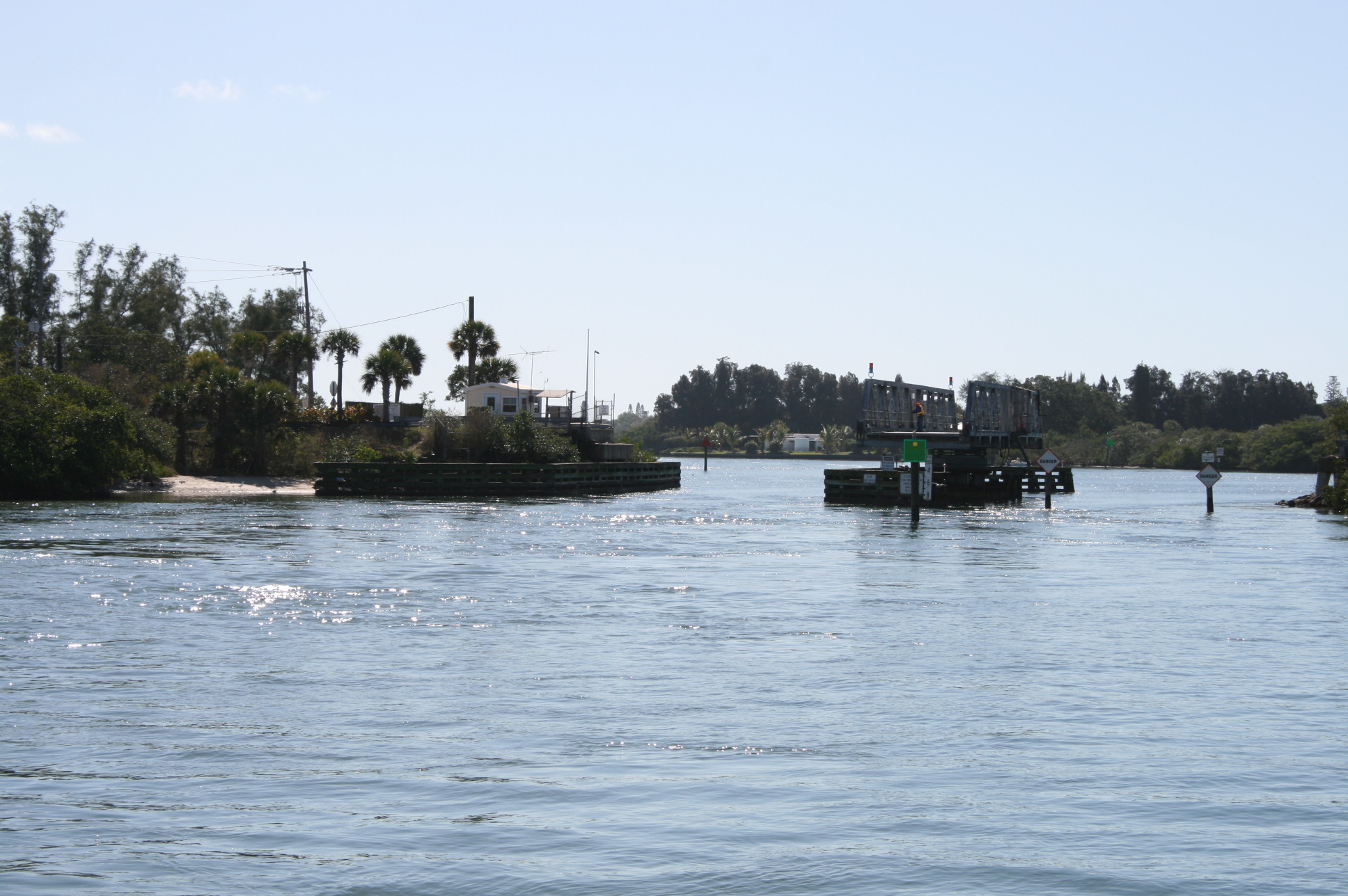
We had decided to anchor in Matanzas Inlet, so we could visit Fort Matanzas, a National Historic Monument. We had to make a sharp right turn from the waterway into the Matanzas River, which links with St Augustine. The fort was built in 1742 by the Spanish, to protect their settlement there.
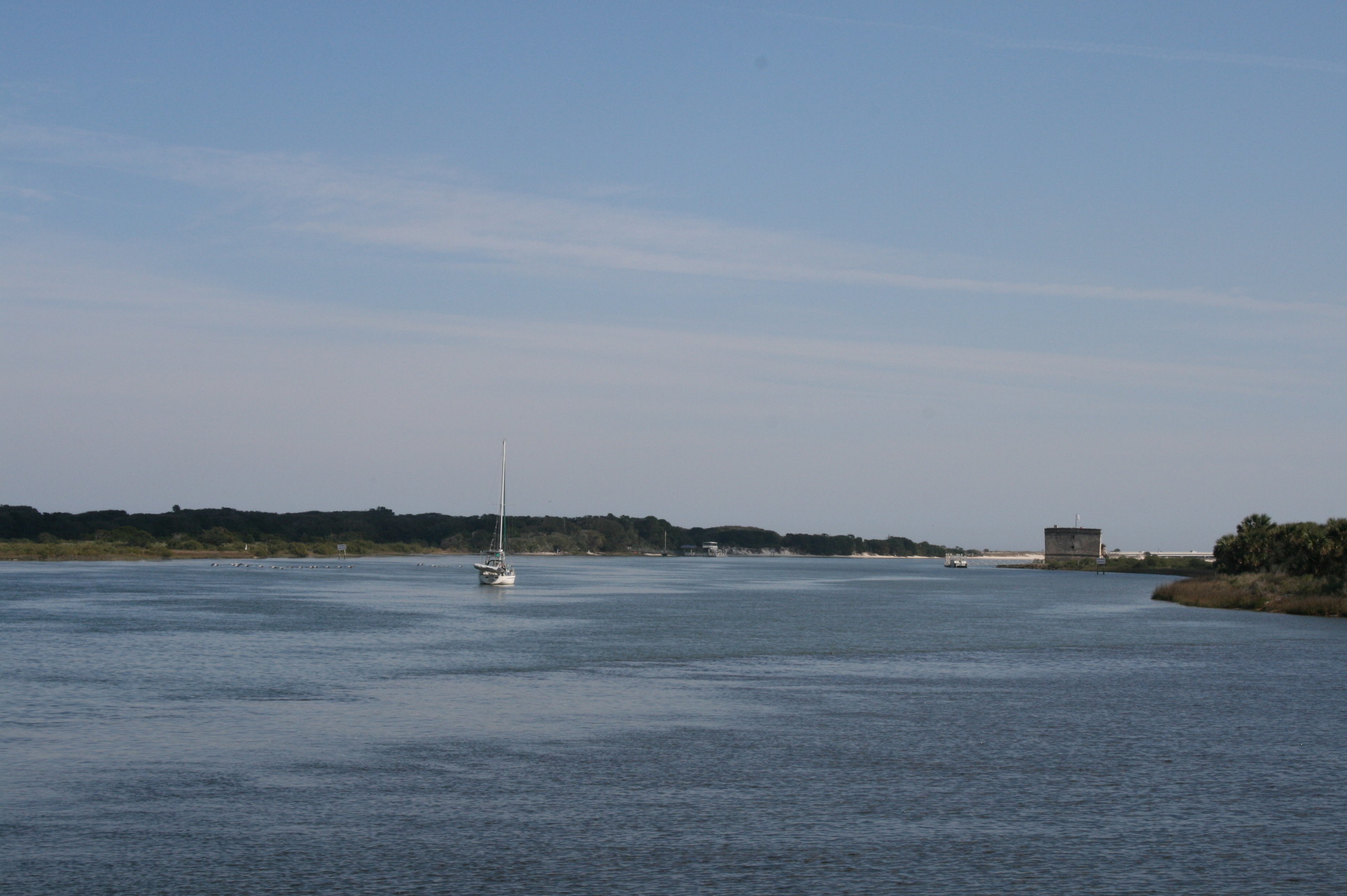
Turning into the Matanzas River from the ICW
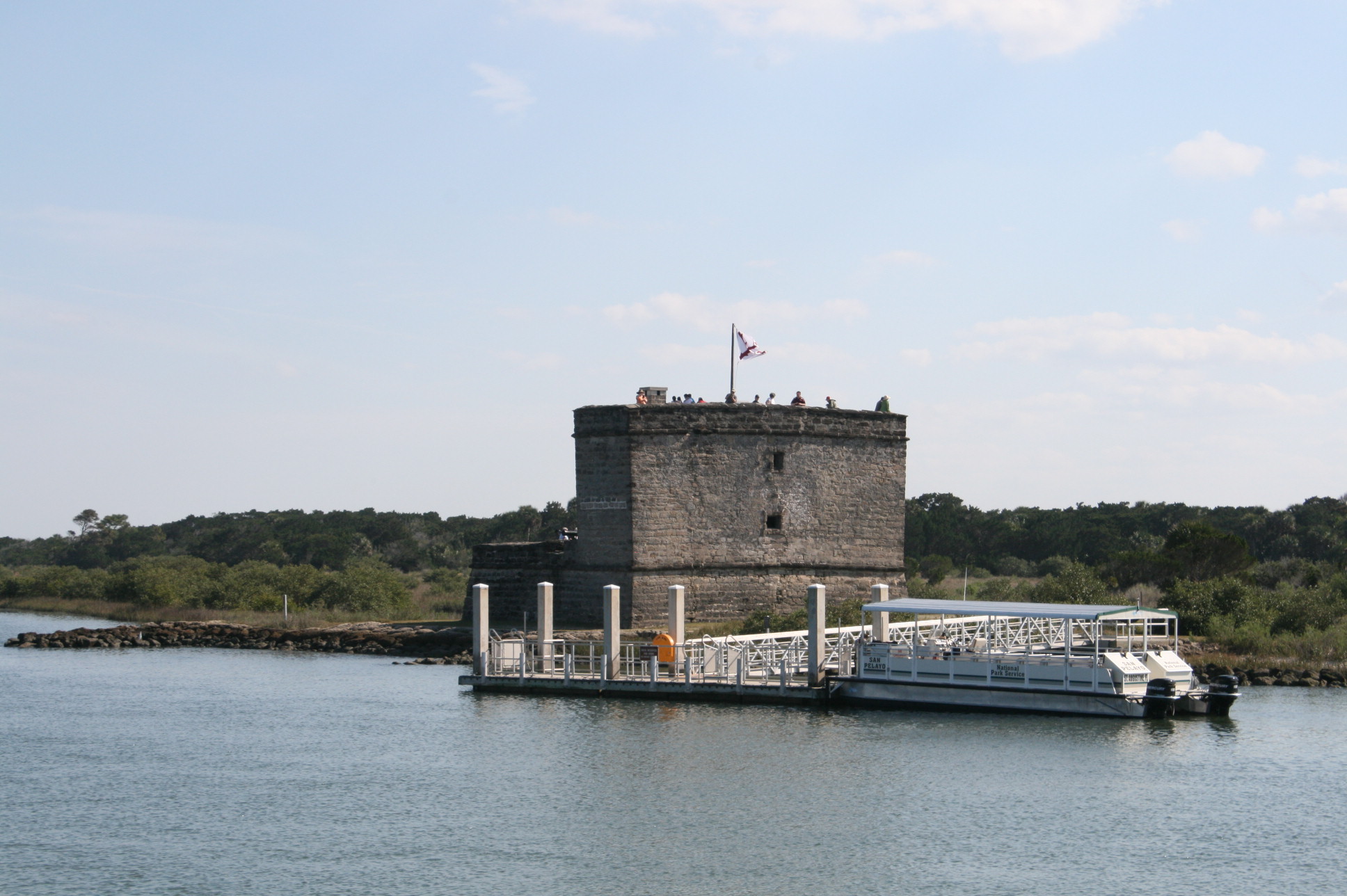
Fort Matanzas
The fort is on Rattlesnake Island, and you can only get there by taking the free ferry srvice provided by the State Parks Service. So we took the dinghy and parked on the little beach nearby.

Parking the dinghy, Fort Matanzas and Carina in the background
The State Park also provided a ranger, in addition to the one who drove the boat, to inform the passengers about the history of the fort, which he did with an engaging mixture of slight boredom and enthusiasm, and a laconic humour.
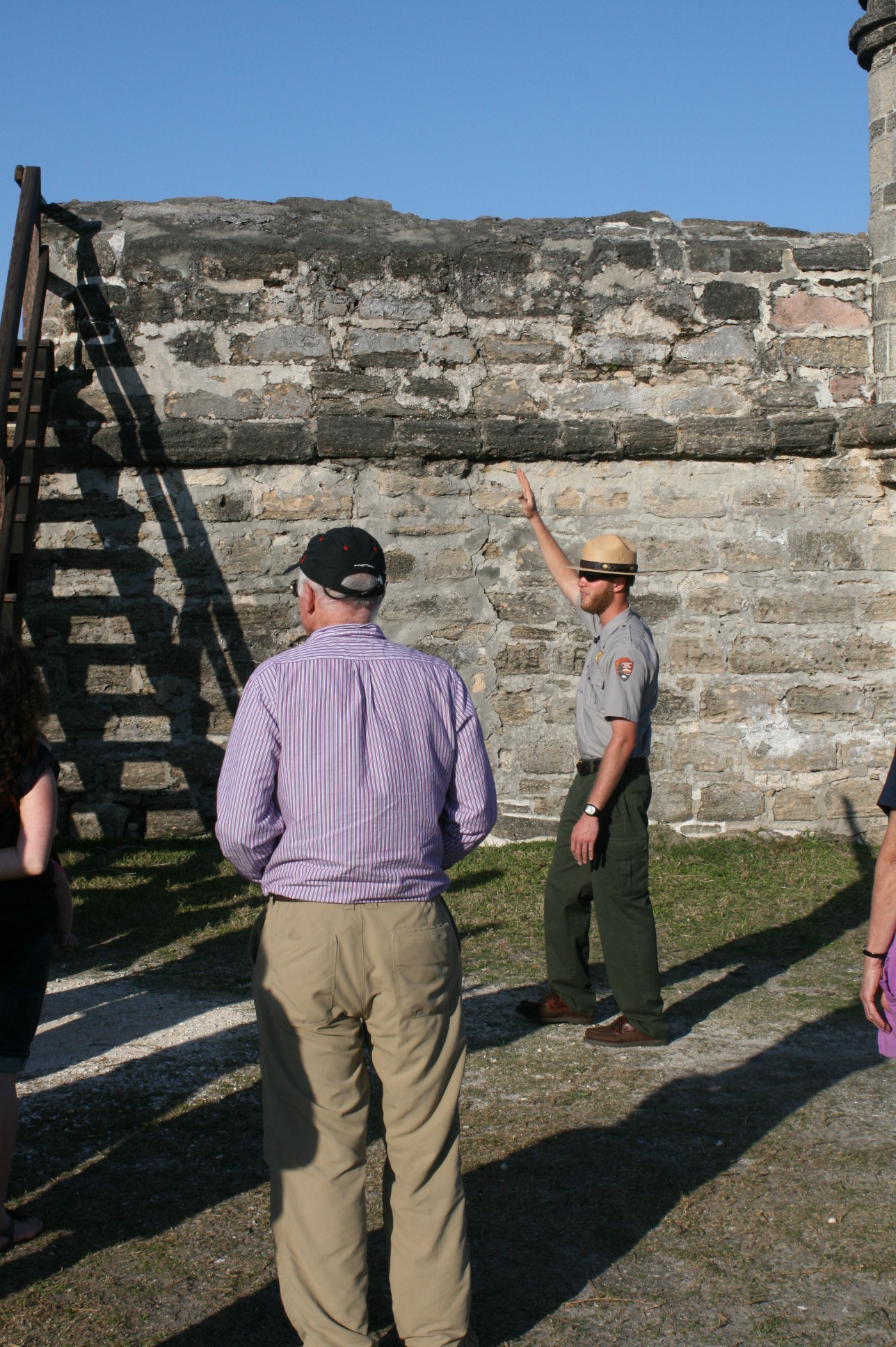
Park Ranger declaiming the history of Fort Matanzas
As Florida is flat, there are very few places where you can get anything approaching an aerial view, so it was quite rewarding to climb the steep steps, and then a narrow, almost vertical ladder, to get to the top of the tower.
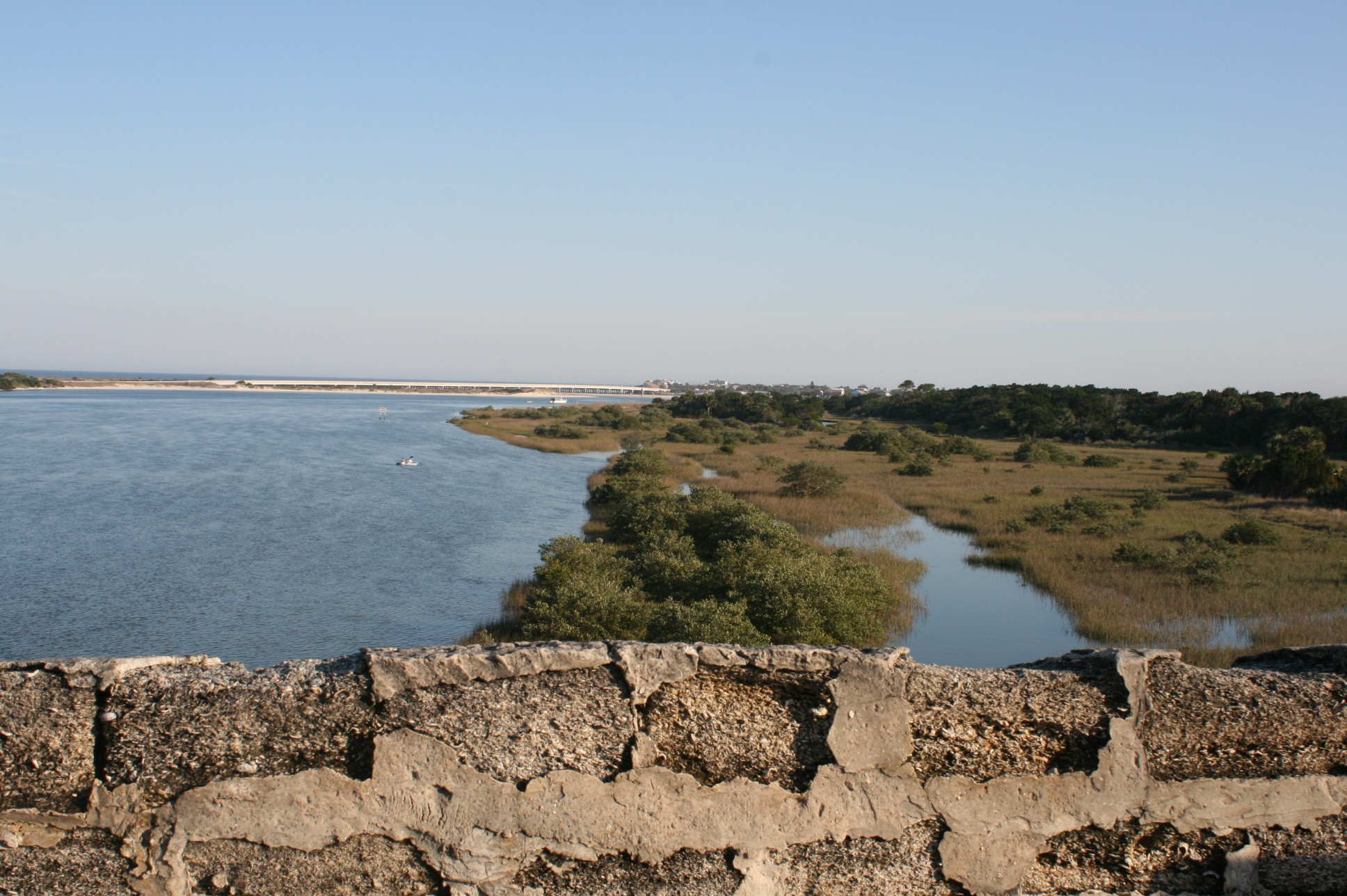
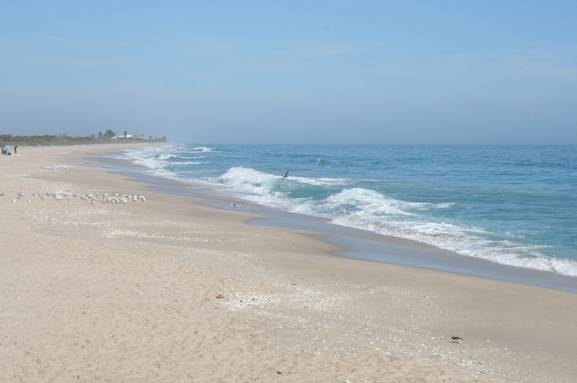
Looking south towards the Atlantic from Fort Matanzas

Looking west
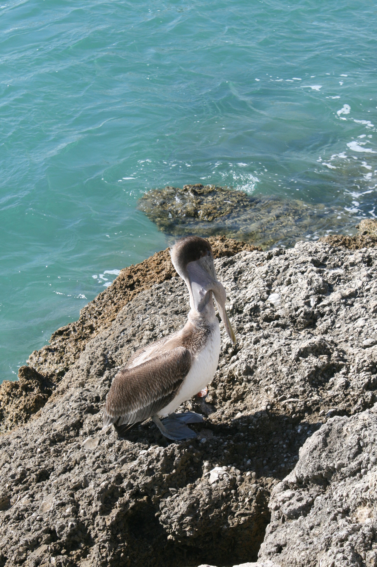
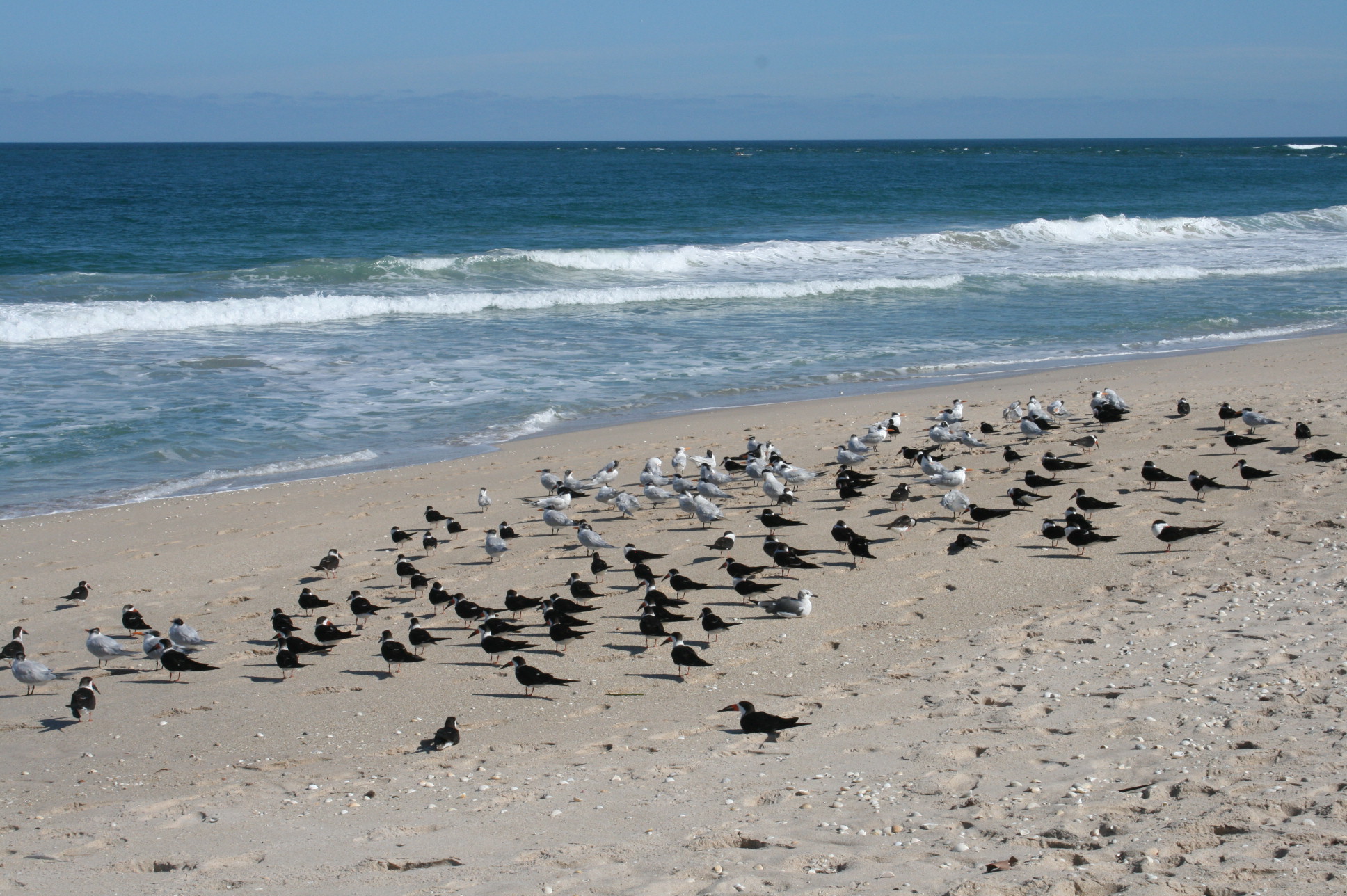
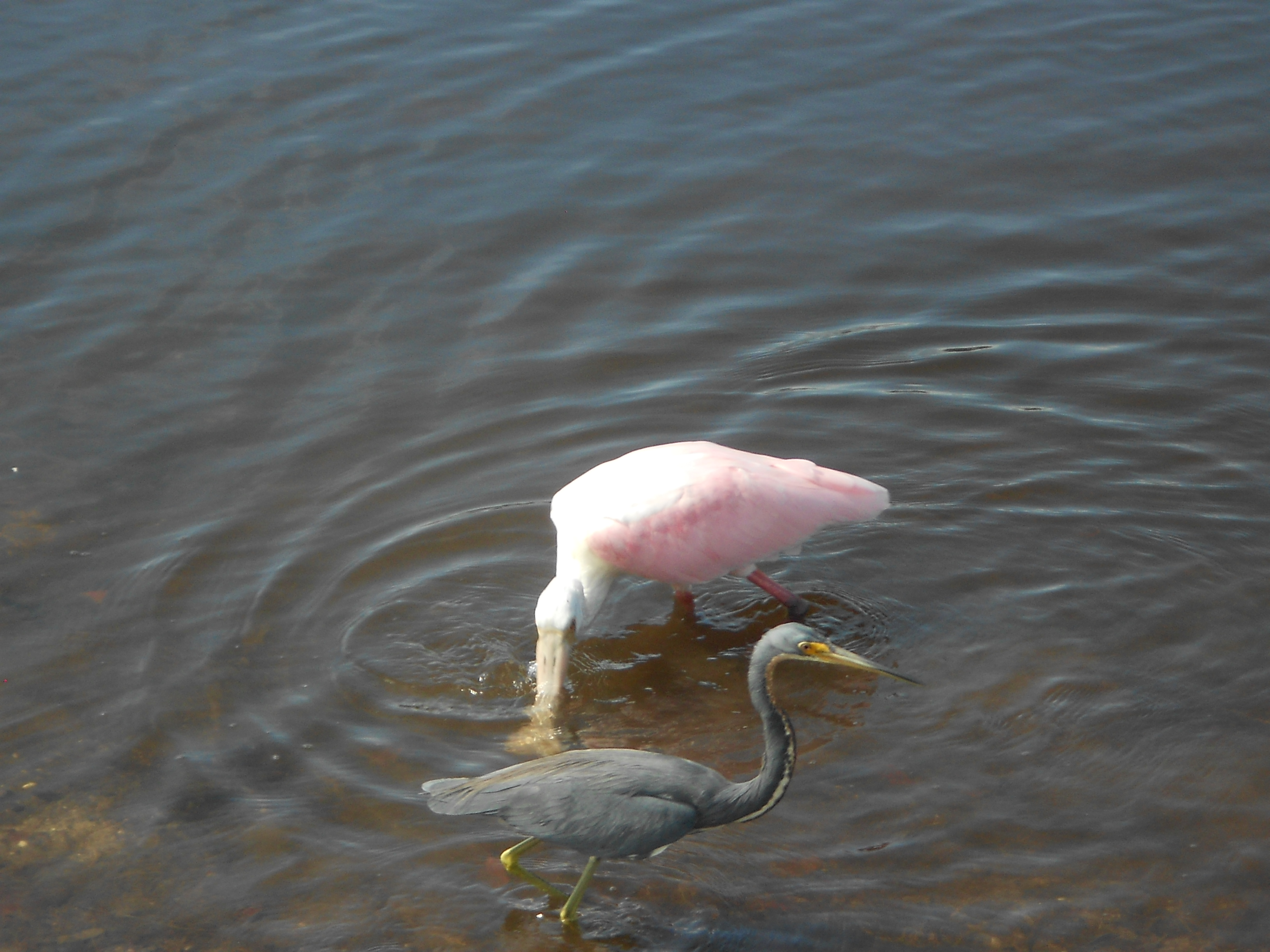
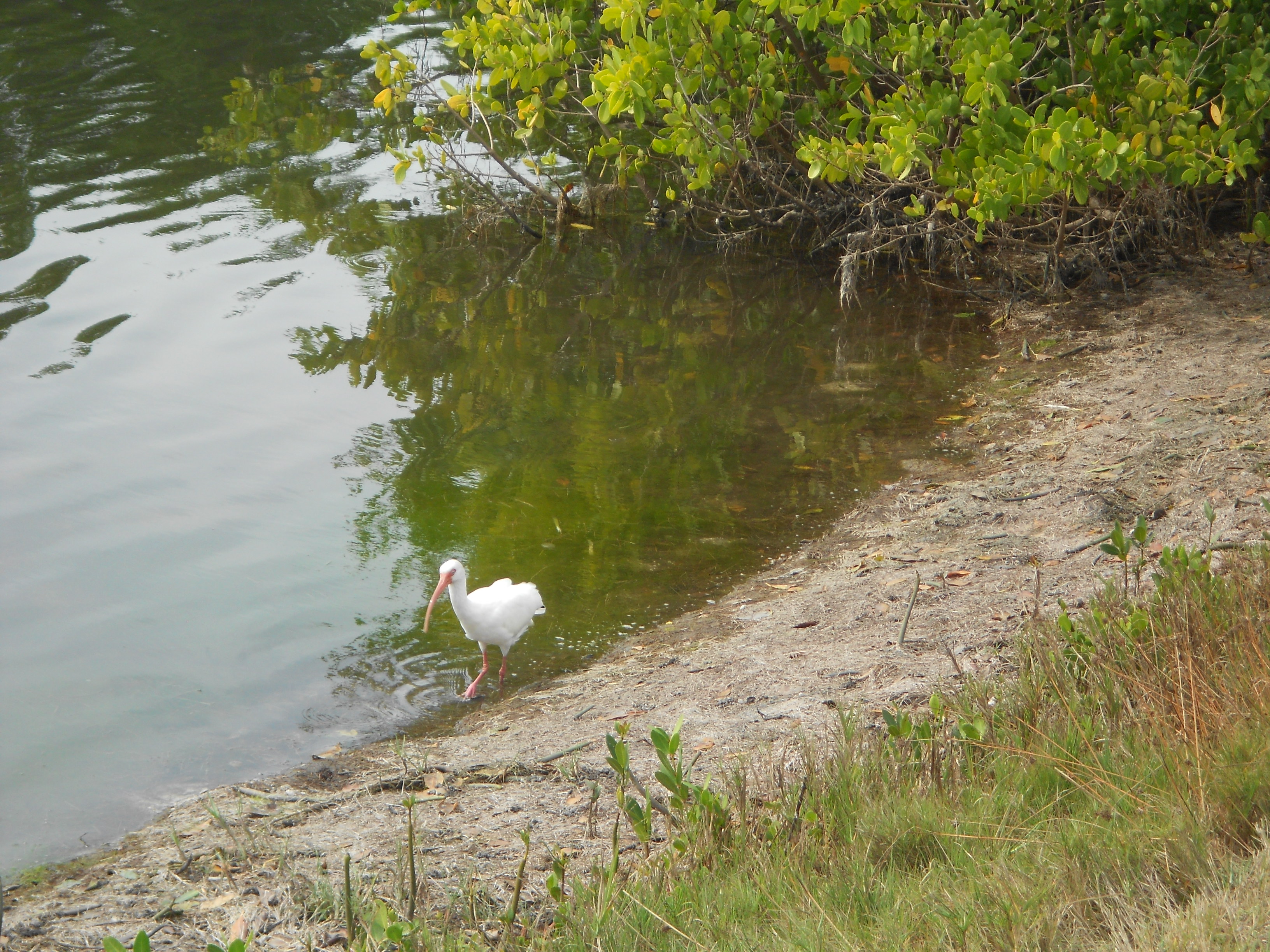
There were plenty of egrets around.
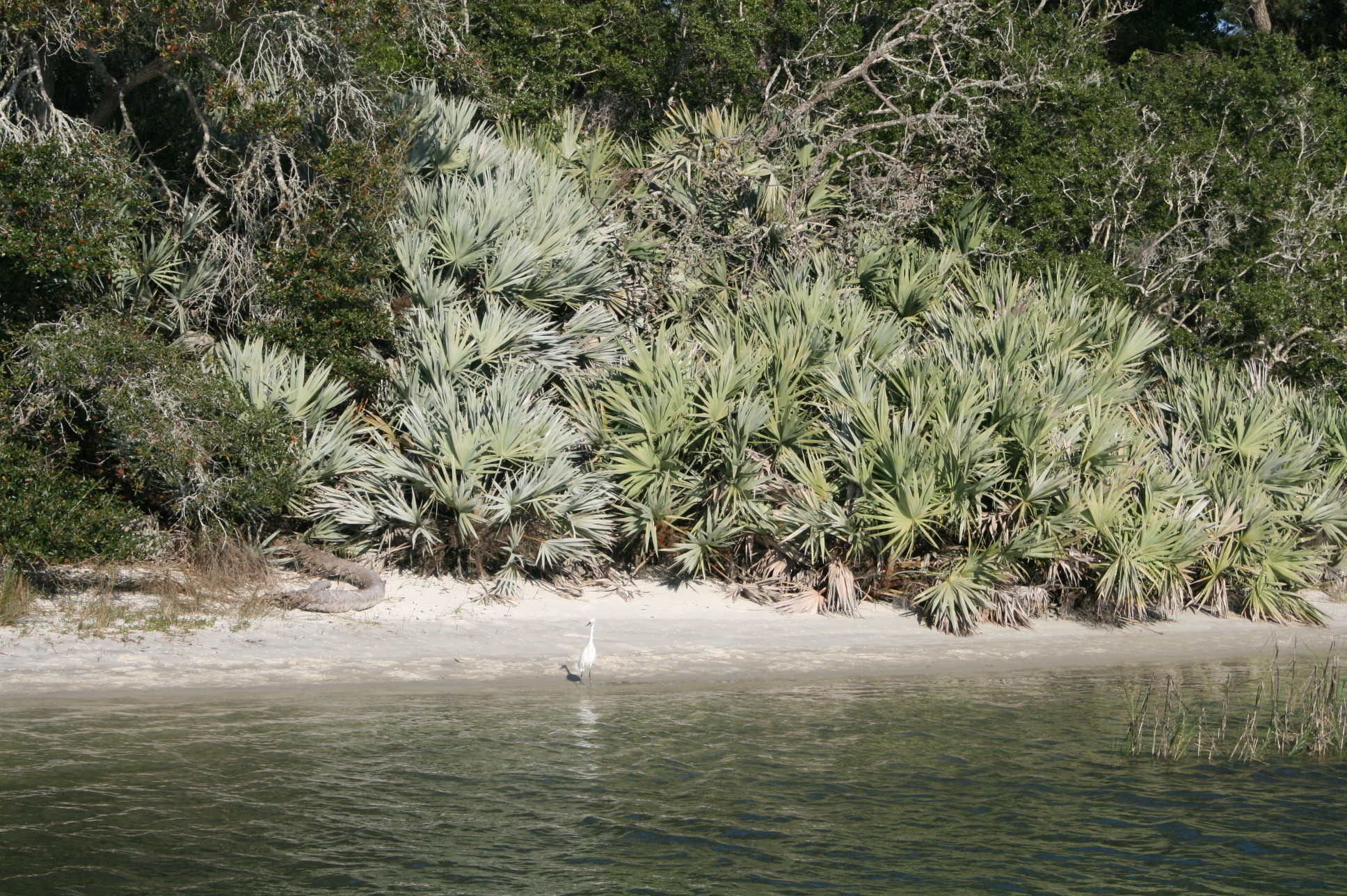
Egret
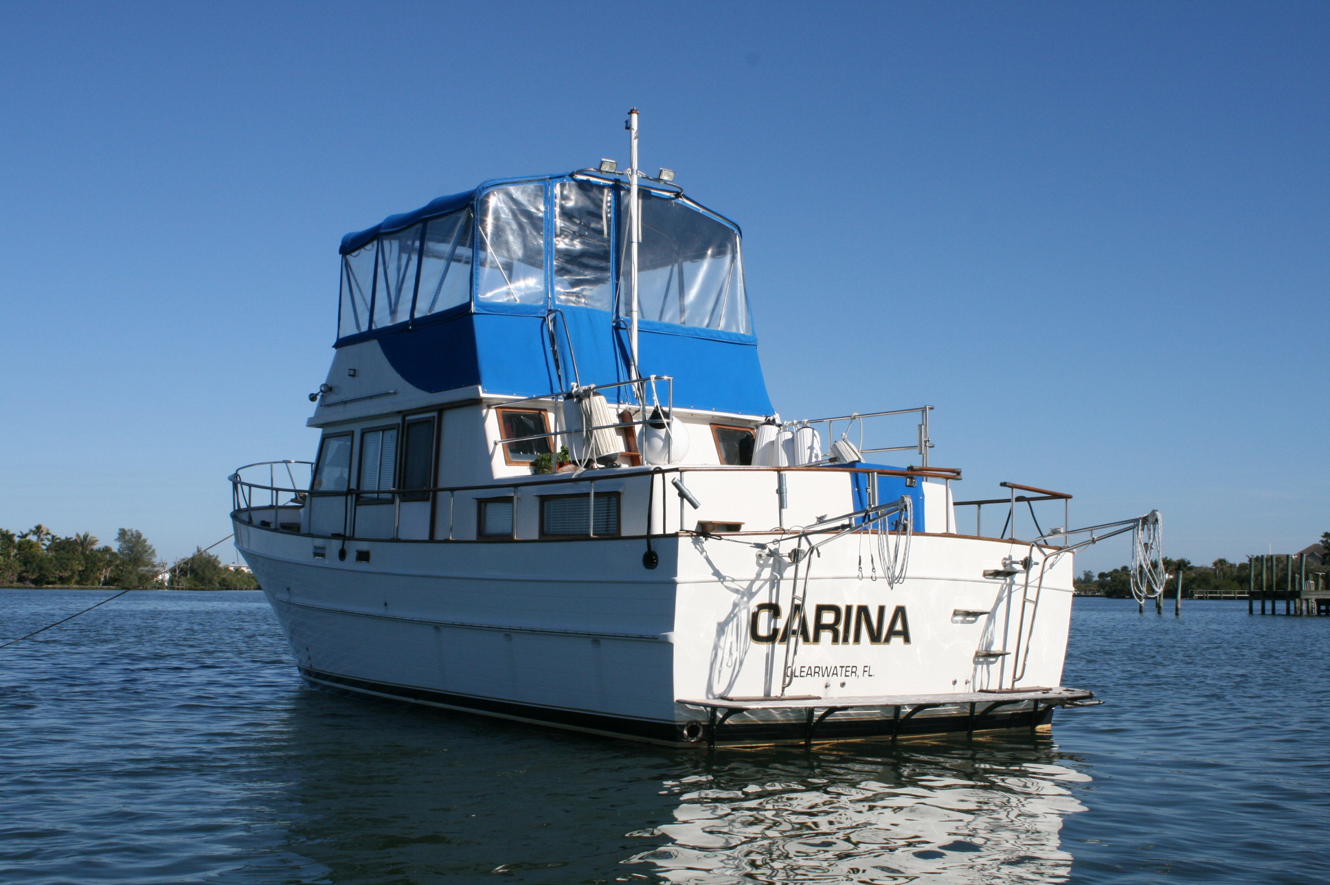
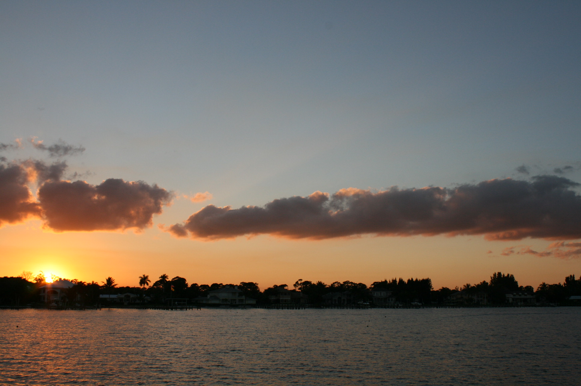
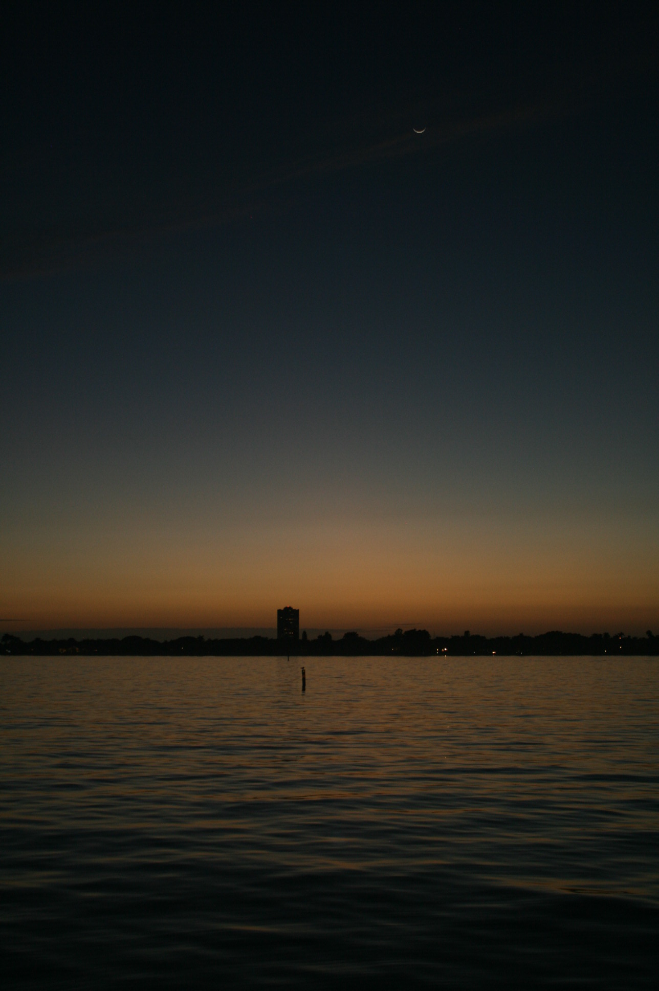
Afterwards, we sat upstairs in Carina, enjoying a beer and watching the sun go down behind the old fort.
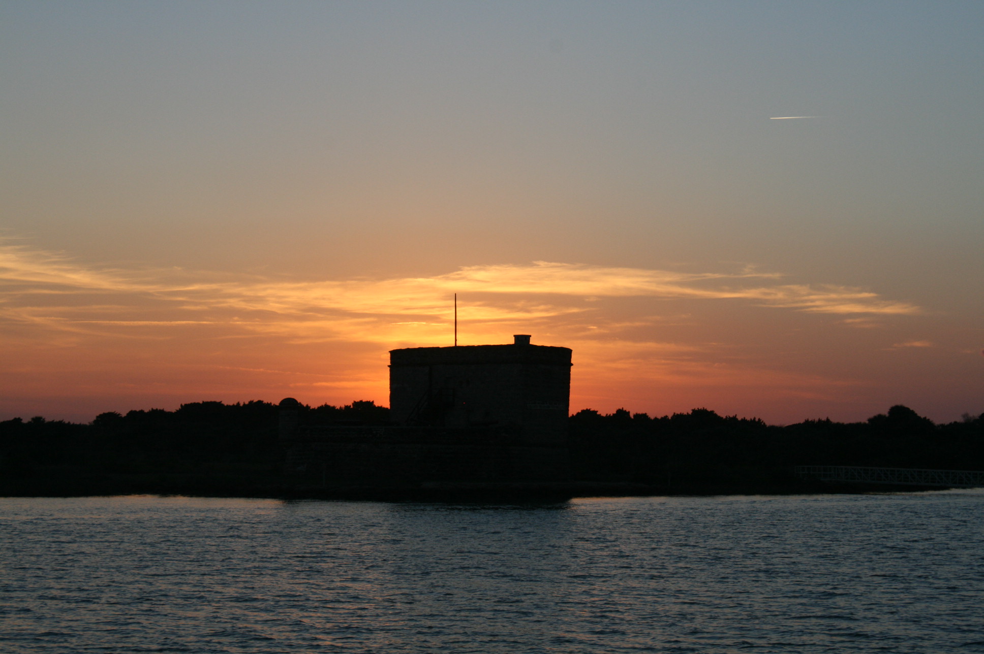
Sunset at Fort Matanzas
And Carina had another little surprise in store for us. In the middle of the night, we woke to a strange noise emanating from underneath the boat. Investigating mechanical problems does not fall within my scope of duties, so I stayed in bed while Ian got up to have a look. The diagnosis was that the tide was running so fast that the prop was being turned round, but apparently it was one of those situations where there is nothing you can do, so it’s best to do nothing.