The Captain’s keenness to get going with the next part of the trip was counterbalanced by a reluctance to repeat the Lake Ontario Experience, and risk further mutiny from the crew. The route to Killarney included a 15 mile stretch of open water, so he thought it wise to wait for the perfect day to leave Britt.
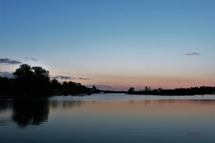
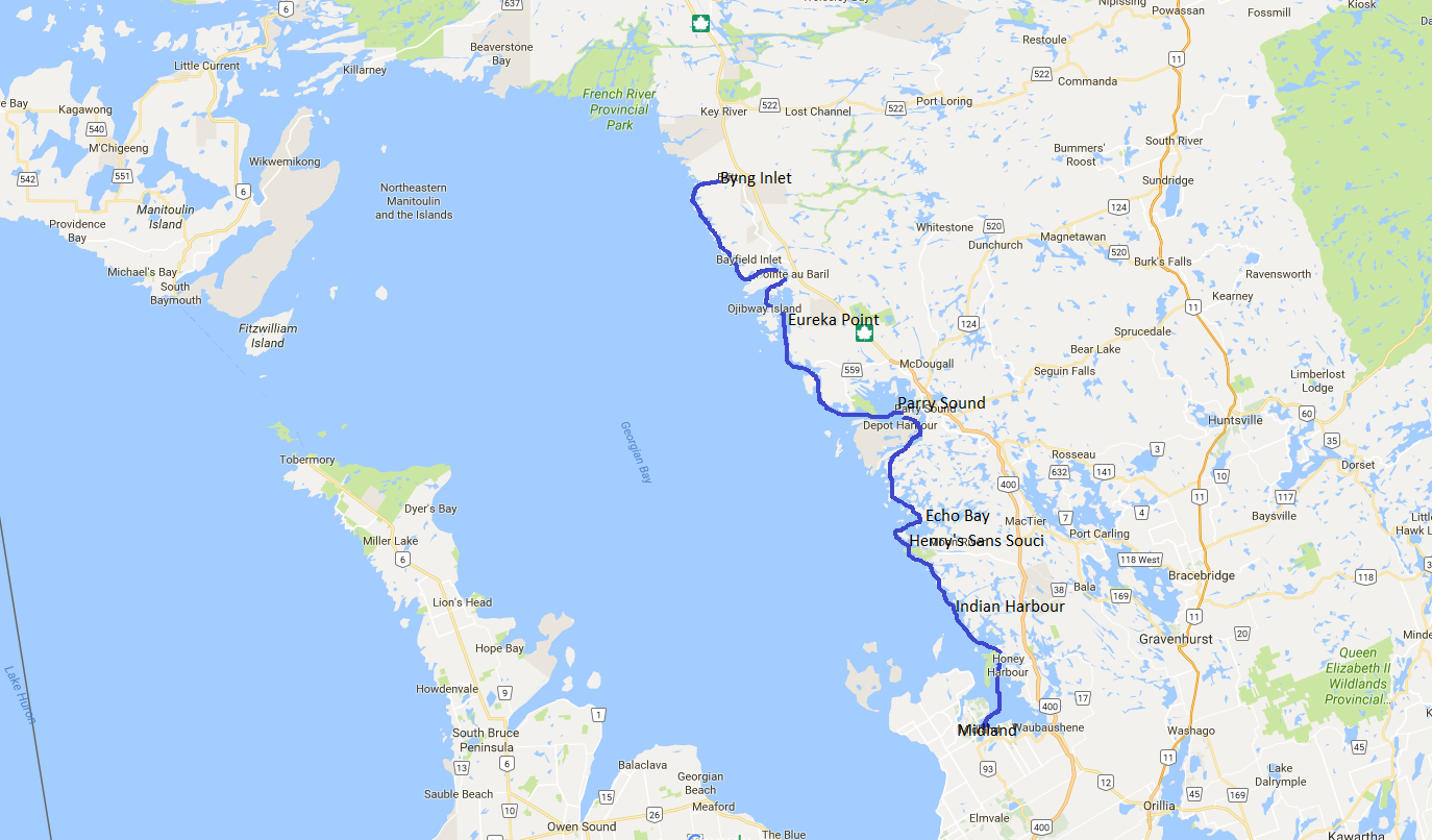
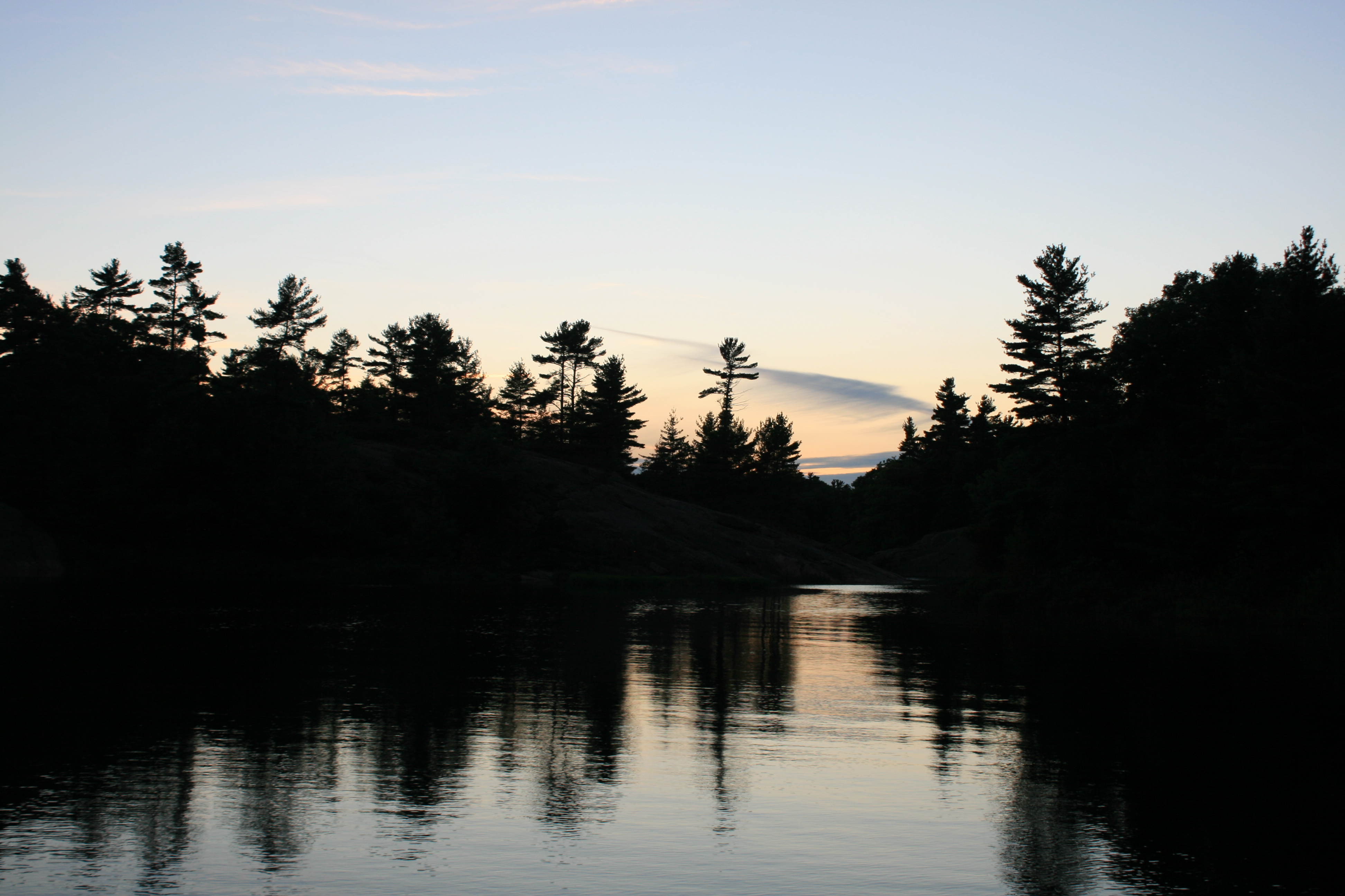
Evening at Britt
We were sad in a way to leave. Graham and the staff at Wright’s Marina had looked after Carina for us over the winter, kept us well-informed and been very helpful with all the things we needed to do when we came back.

Ian and Pauline
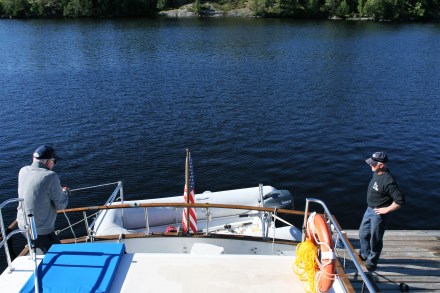
Ian and Graham hoisting the dinghy
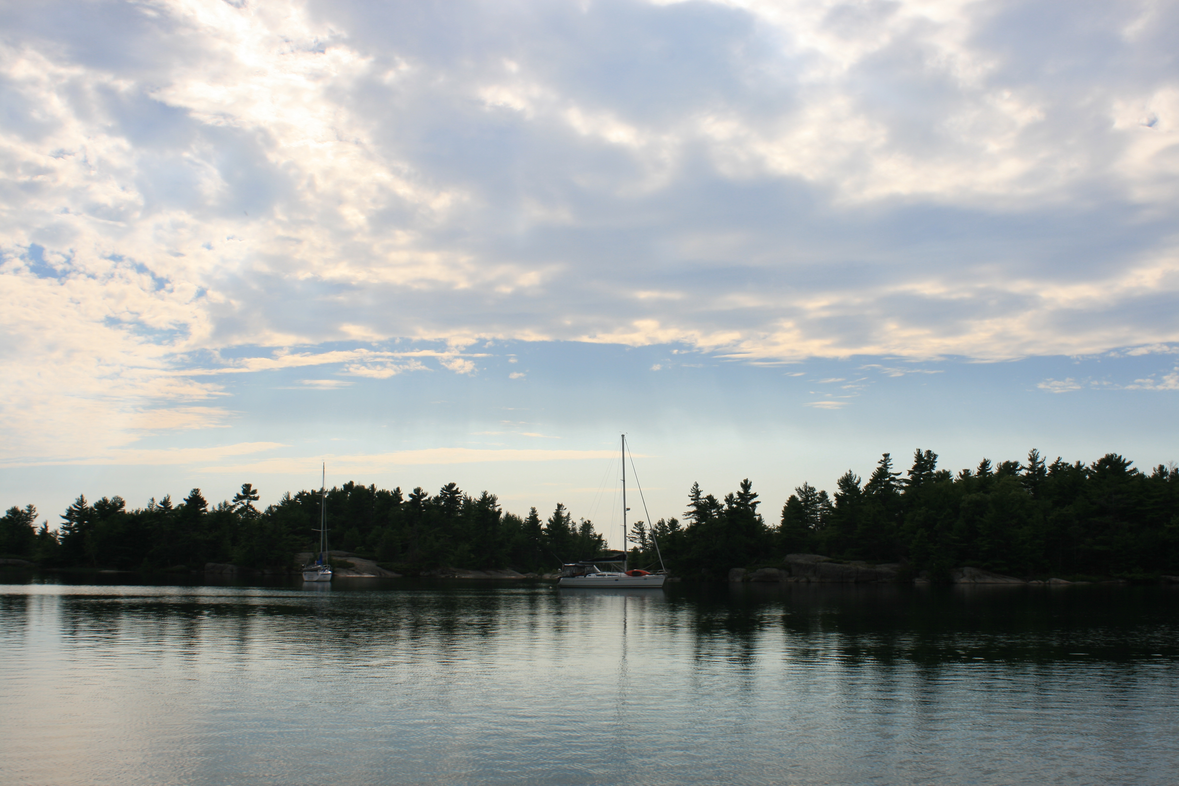
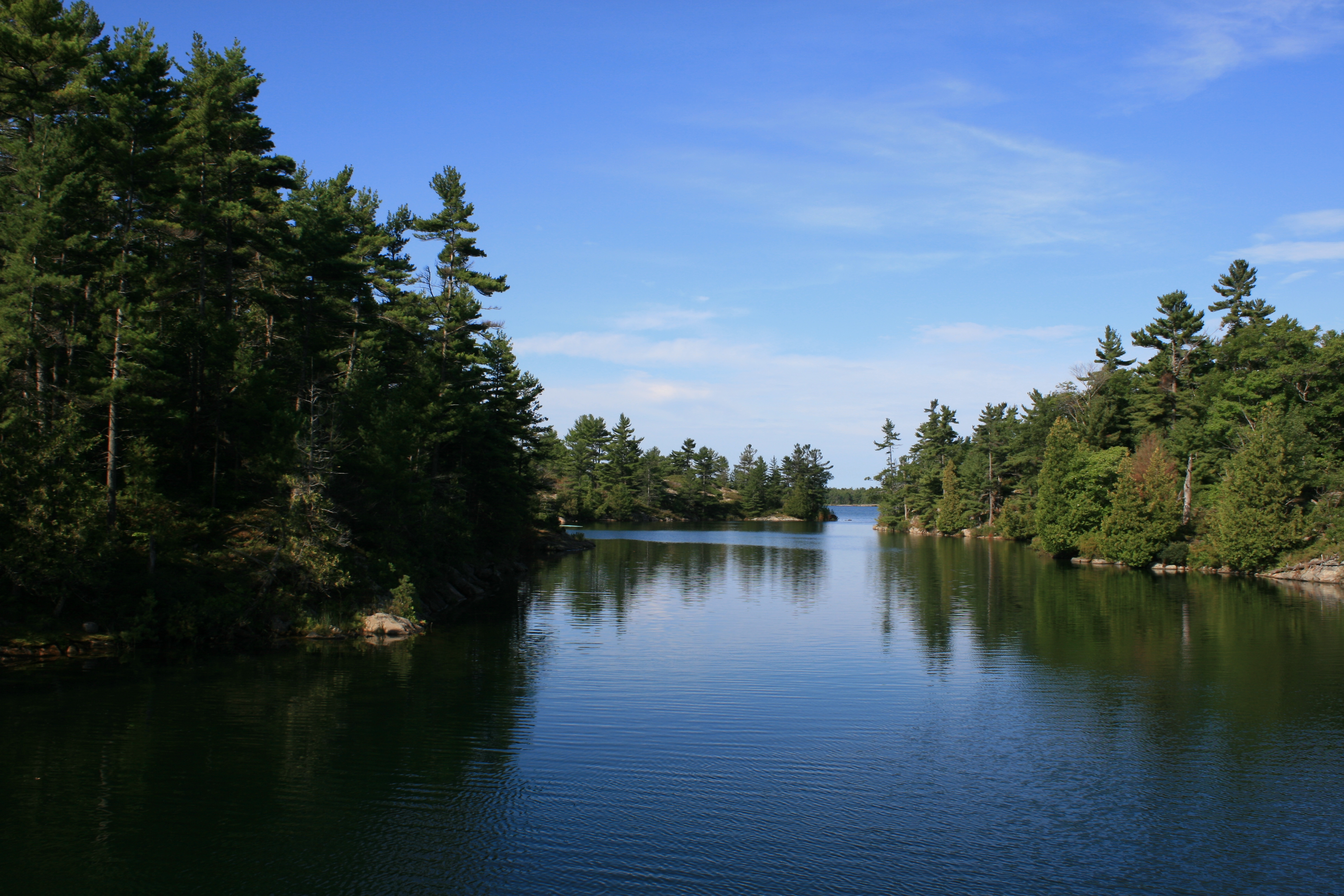
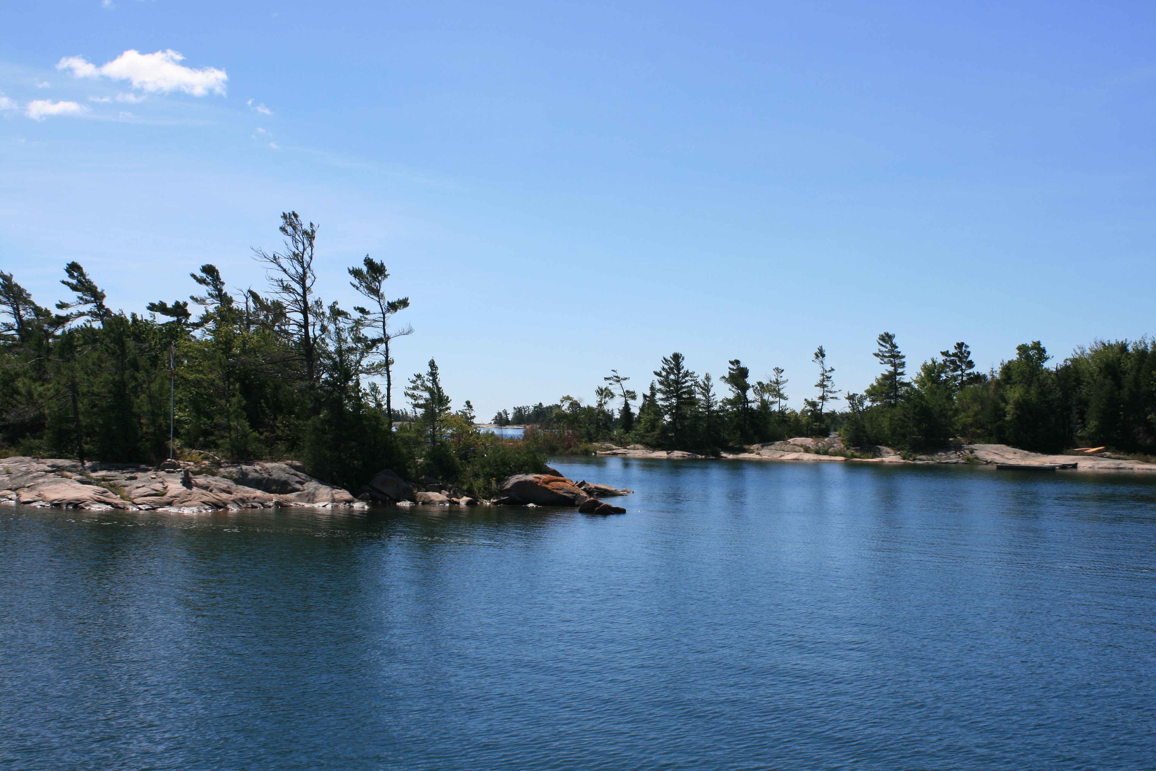
But Saturday was that perfect day and we cruised from Britt down Byng Inlet and out into Georgian Bay in the bright sunshine and sparkling water.

Morning at Britt
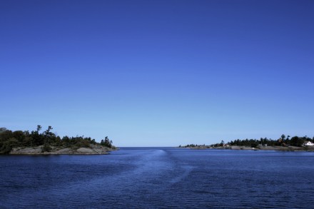
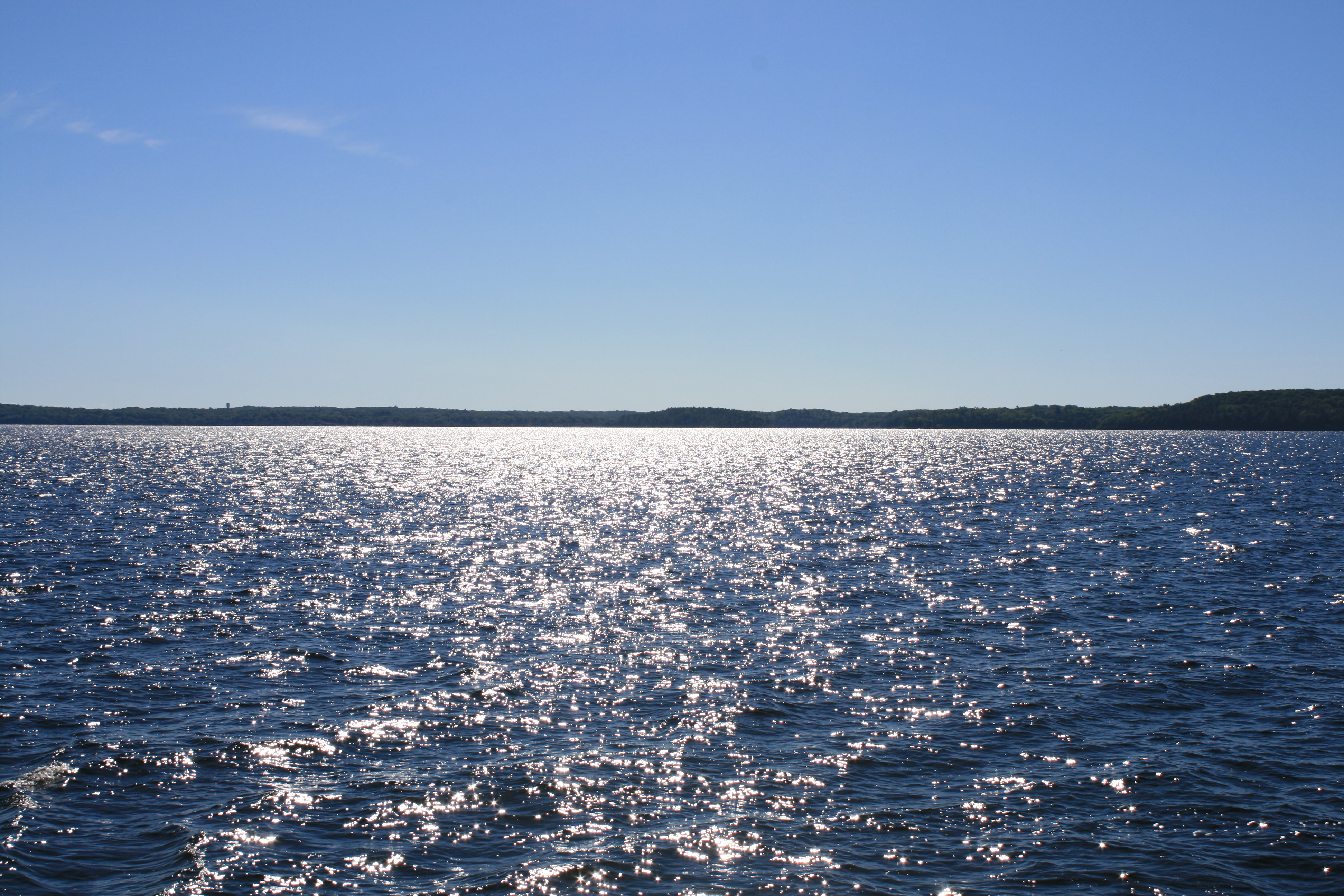
Georgian Bay ahead at the mouth of Byng Inlet
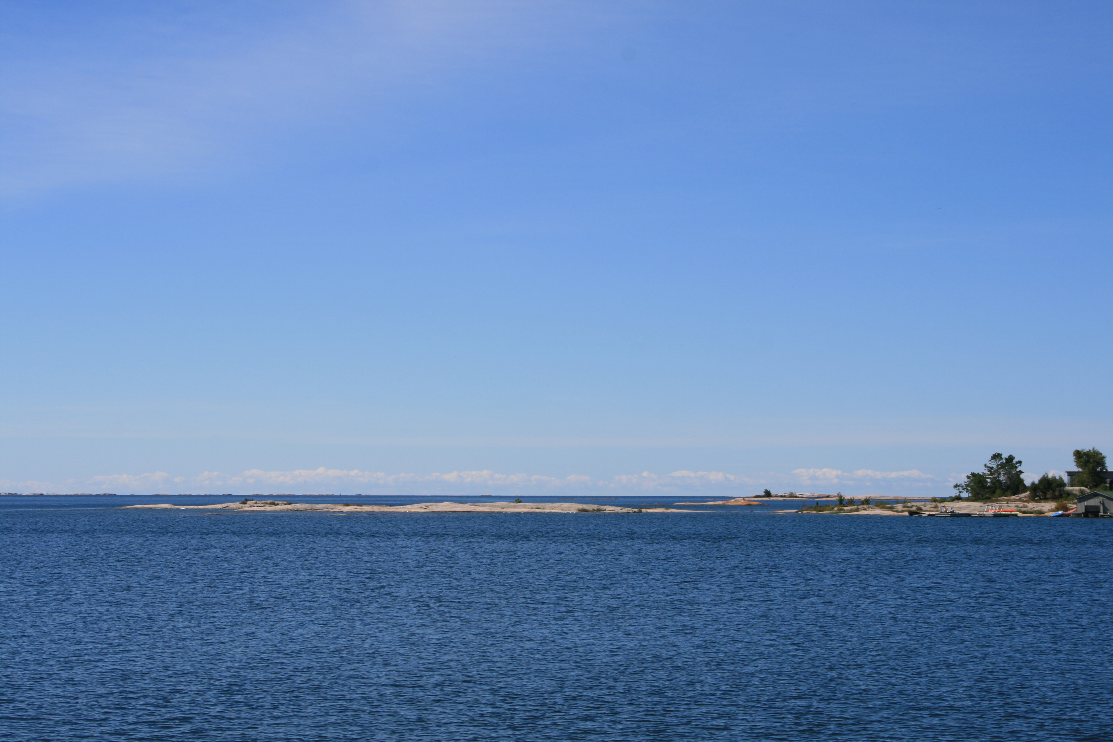
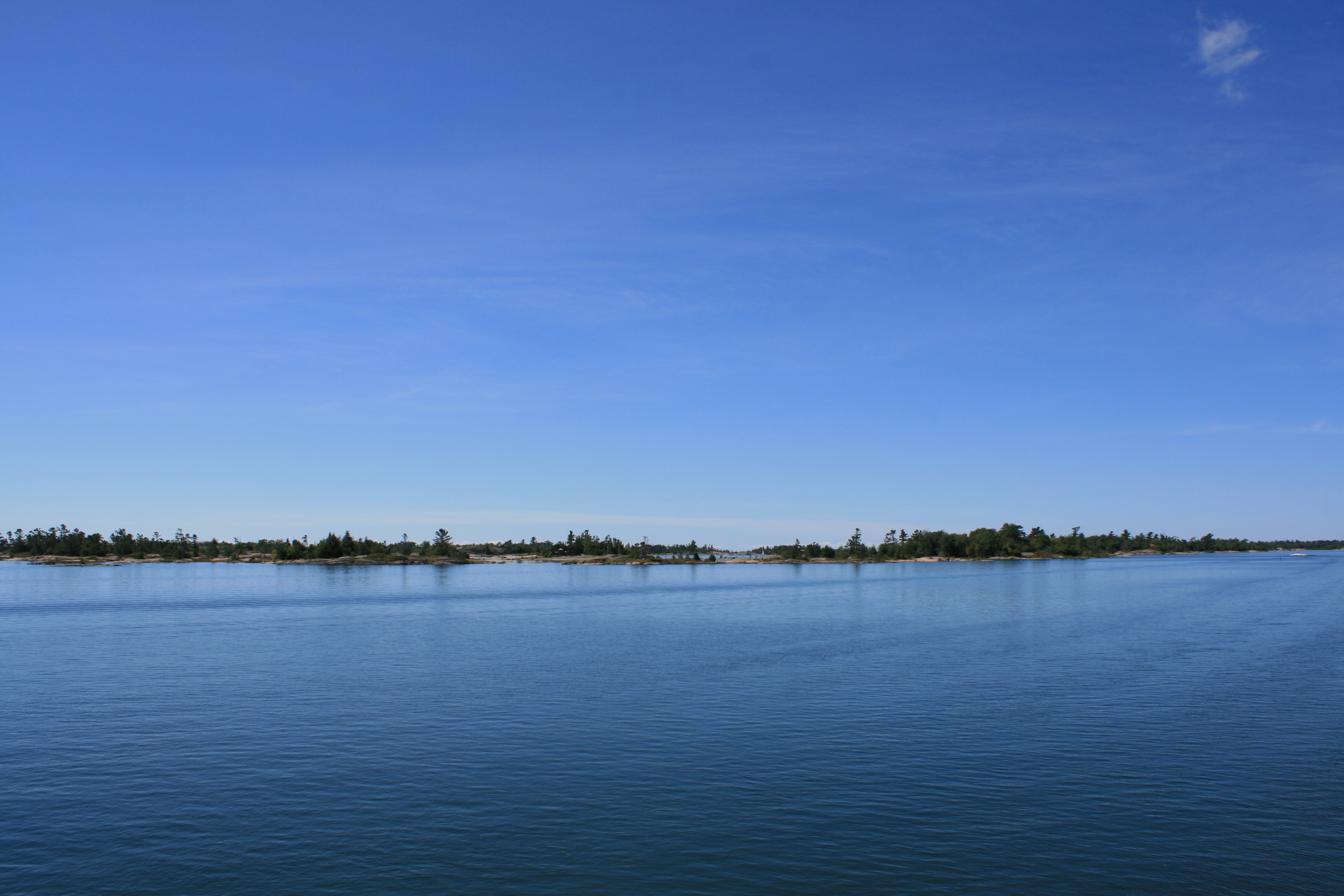
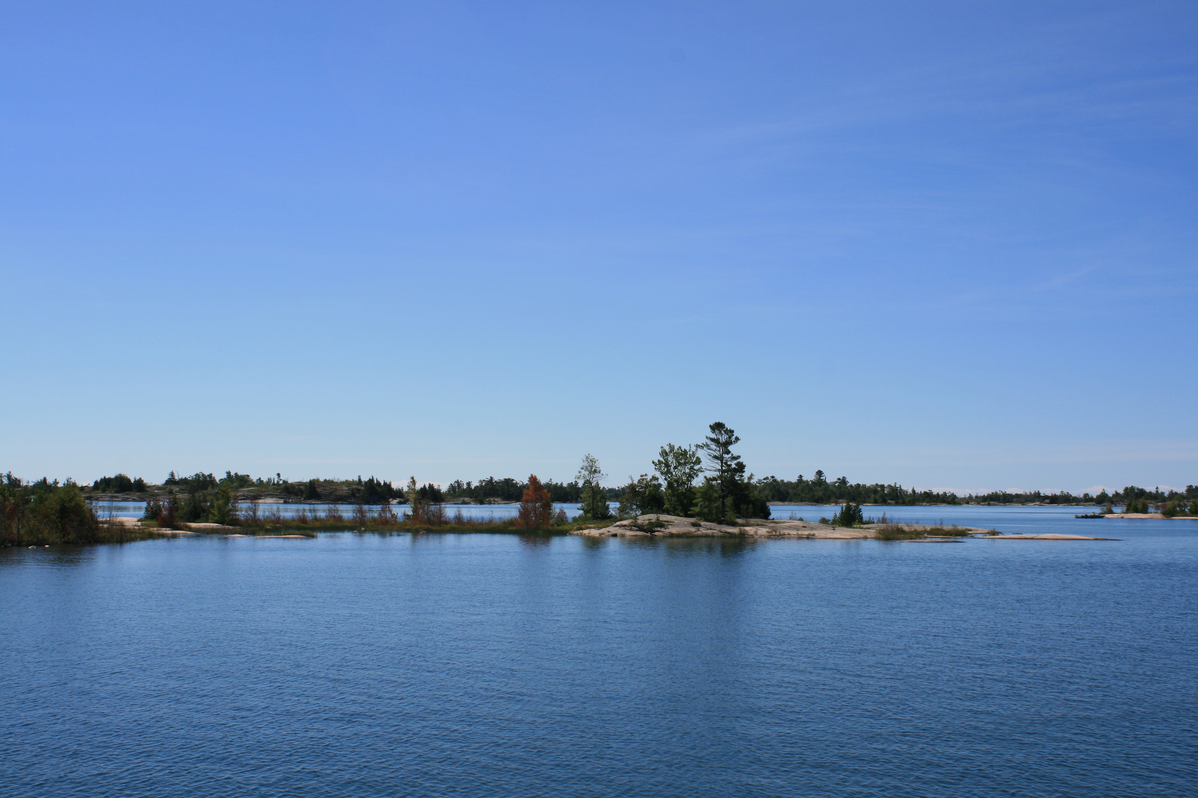
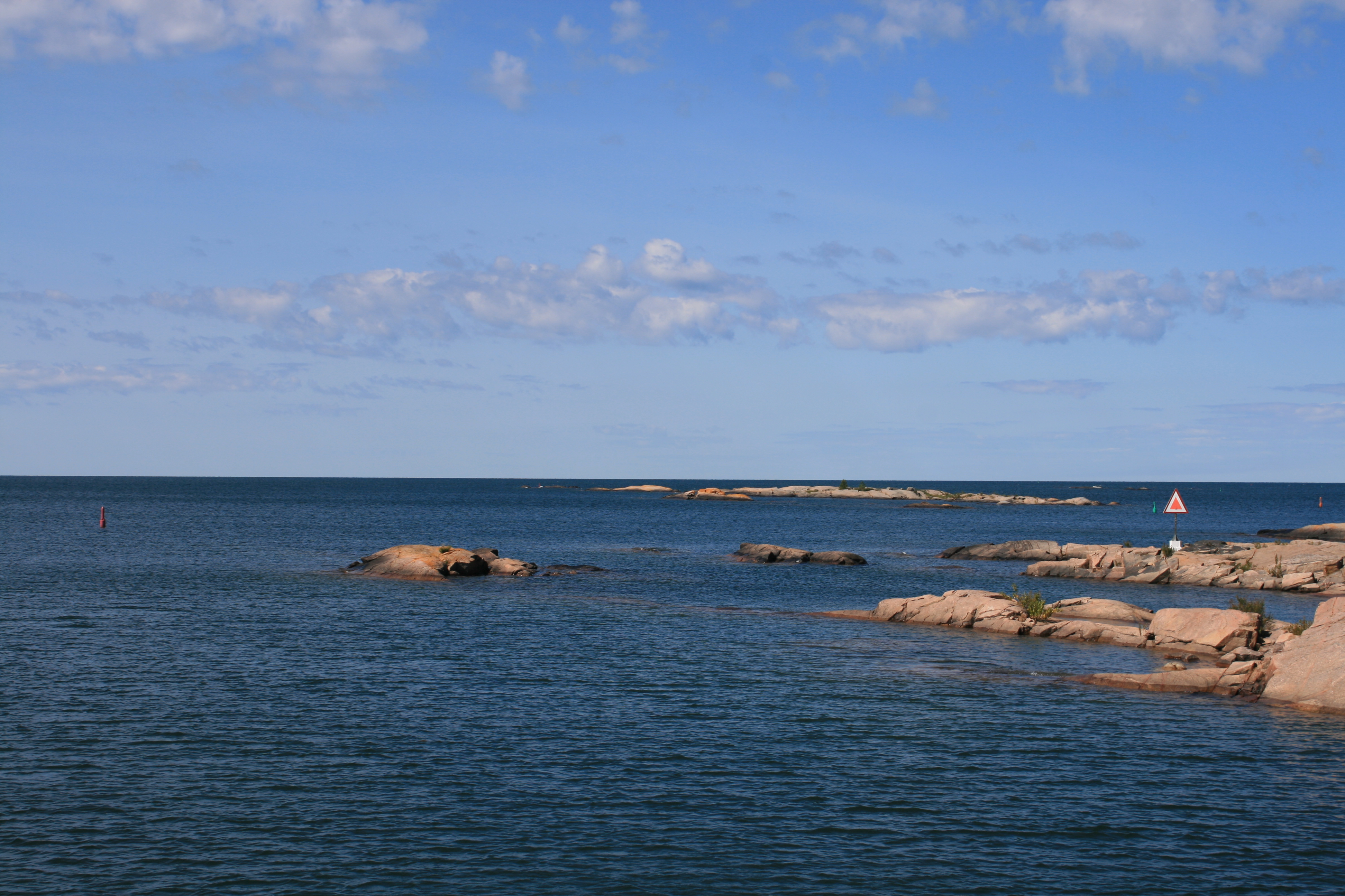
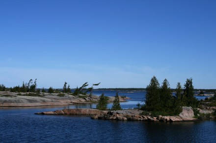
We followed the small craft route, hugging the coastline and following the clearly marked channel between the many small islands.
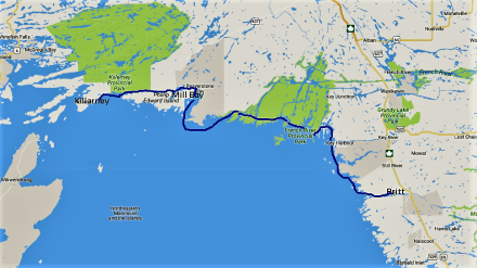
Britt to Killarney
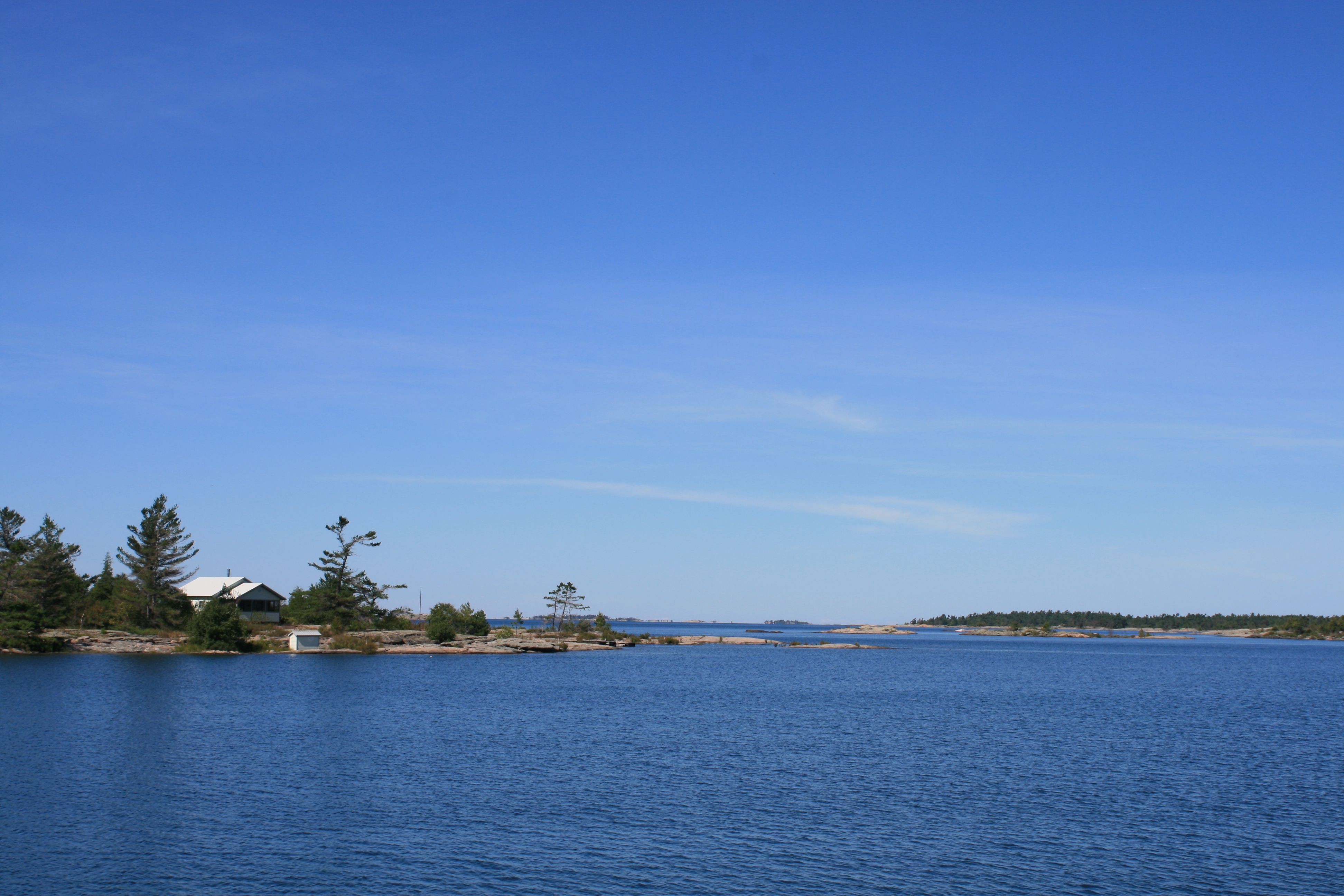
near Golden Sword Island
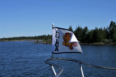
Flying the flag of the American Great Loop Cruisers’ Association near Golden Sword Island

Near French River Provincial Park

Approaching the channel leading to Obstacle Island
The season hasn’t really started here. We saw only two other boats on the water all day, and had to wait while one of them exited this narrow channel before we could go on.
We anchored for the night in Mill Bay, 15 miles east of Killarney, and had the anchorage to ourselves except for a beaver who obligingly came out at dusk and entertained us by gliding around and occasionally diving down, resurfacing with something tasty for his supper. Too far away for any photos, but this is his lodge.
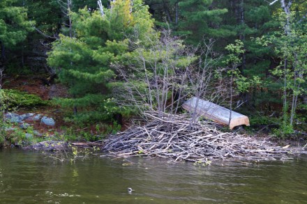
Beaver’s lodge near our mooring
It was hard to believe that Sunday would bring relentless rain, as forecast, but it did. So we stayed put and delayed our departure till Monday morning.
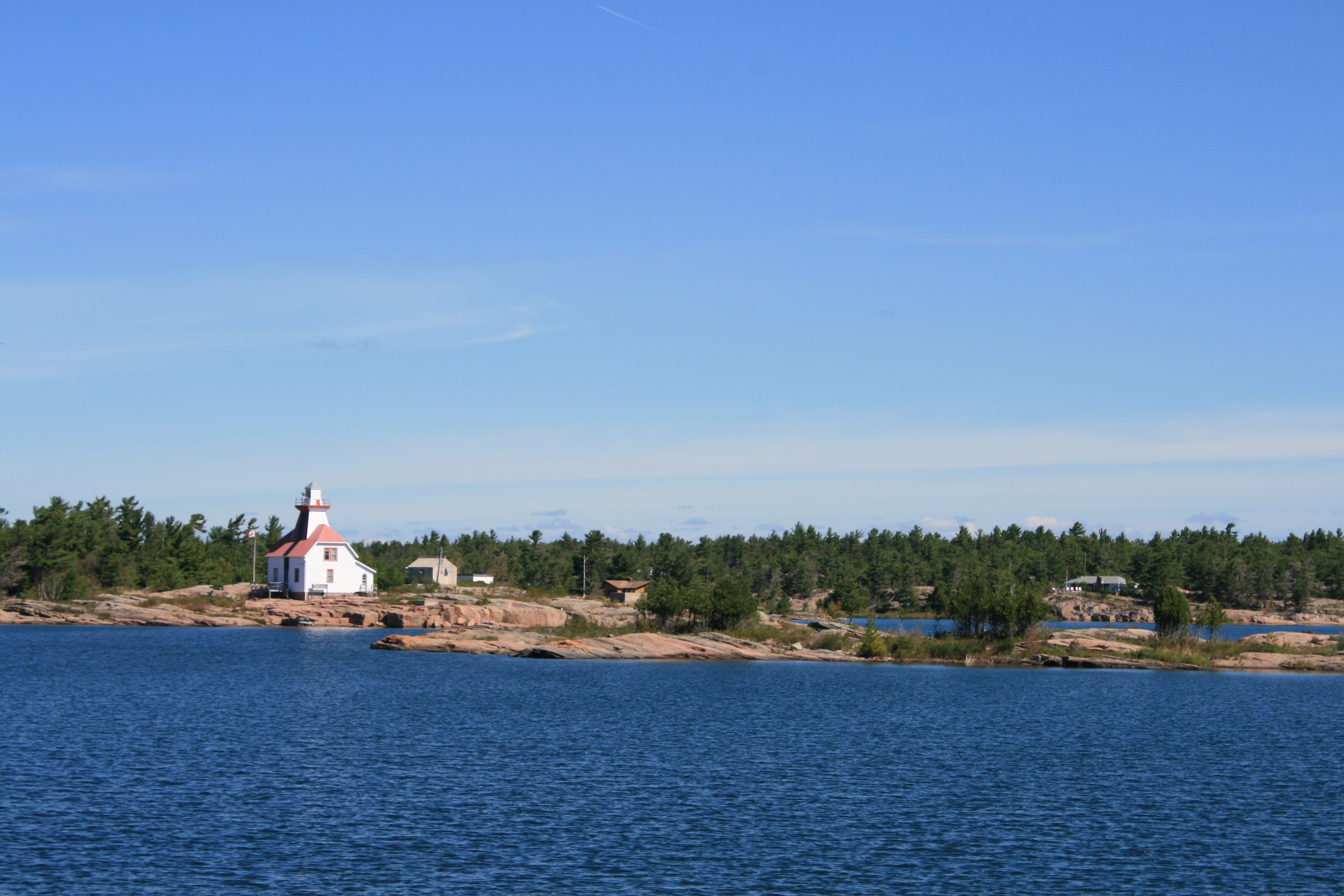
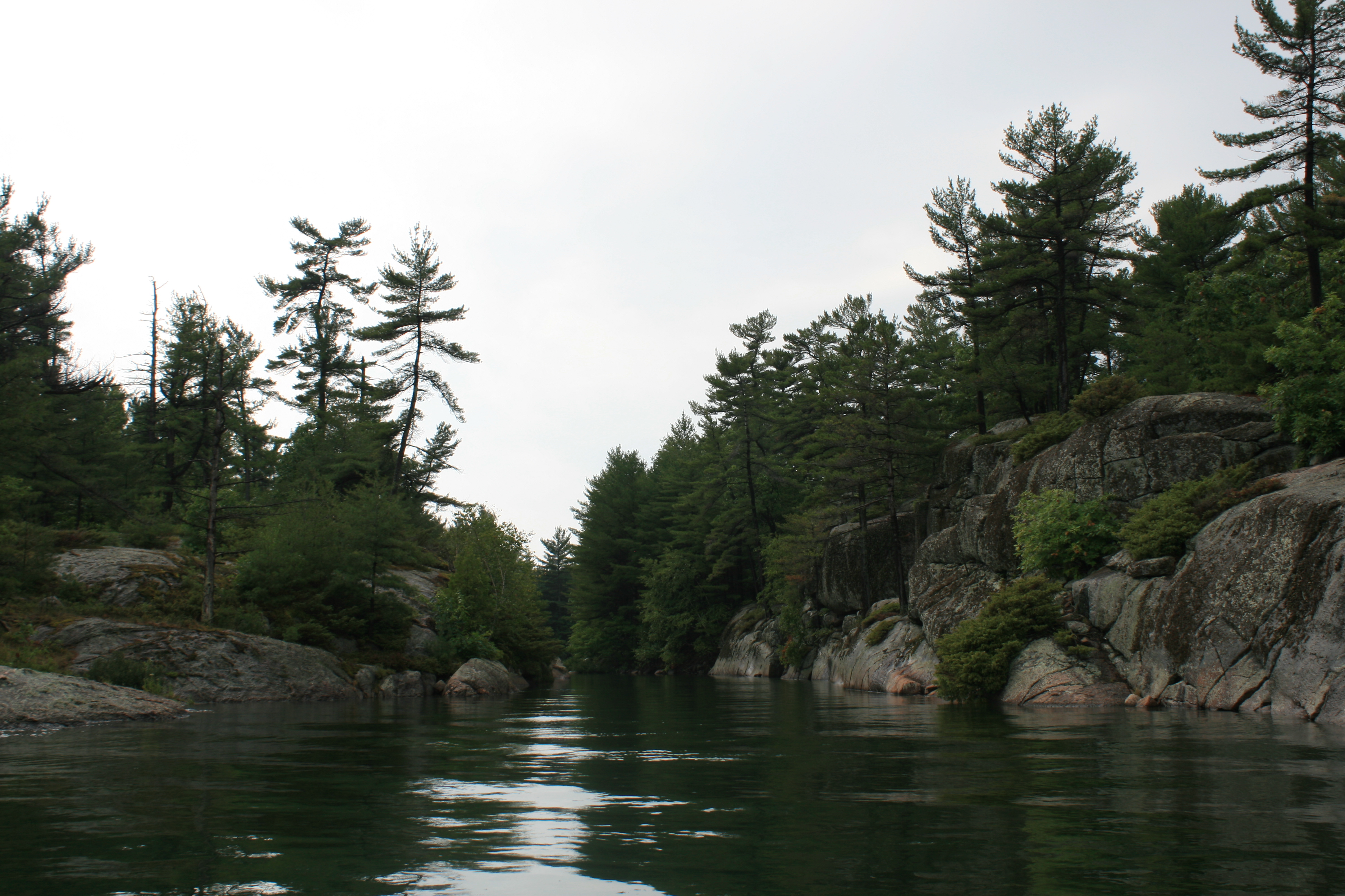
We passed along the narrow gorge of Collins Inlet, between the mainland and Phillip Edward Island, and then another stretch of open water before reaching Killarney.
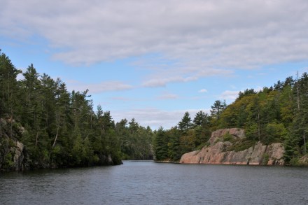
Collins Inlet
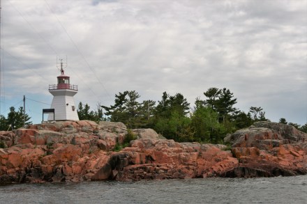
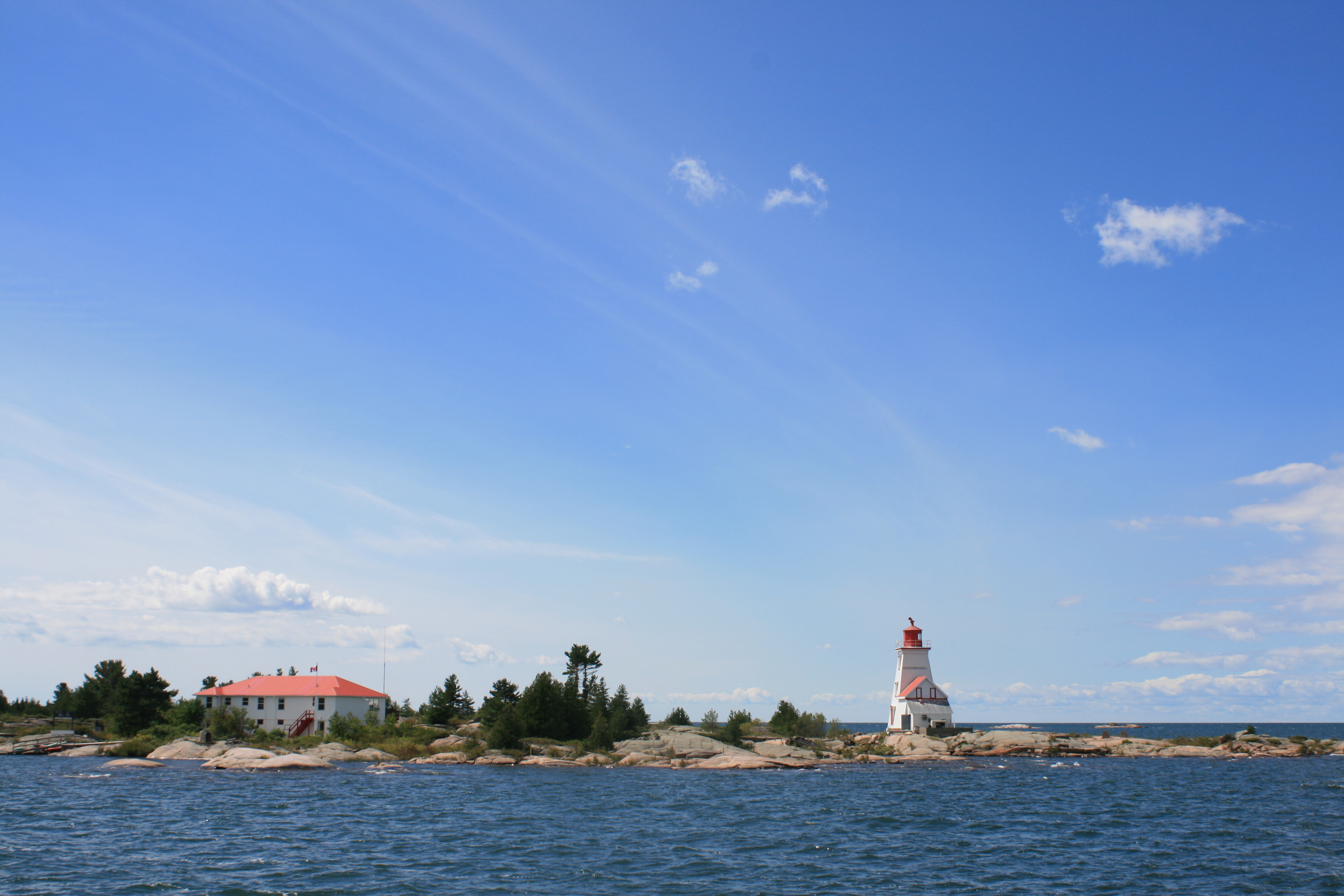
Killarney East Lighthouse
Until the mid-50s, the small town of Killarney was a centre for the lumber trade as well as a fishing village, and the surrounding area would been de-forested and have looked very different. Now, it’s a very popular venue for boaters, and the Killarney Provincial Park attracts hikers and campers. Until 1962 there was no road access, but it now has a road link with Sudbury.
We moored at the Sportsmans Inn Marina and had a warm welcome from Ryan and Dee, the dockhands. The next day Debbie, the receptionist, not only kindly gave us a lift to the start of the Chikanishing Trail, but insisted on lending us bug-hats, without which we would have been prey to the many biting insects. She also made sure we knew what to do, should we arouse a bear’s curiosity.
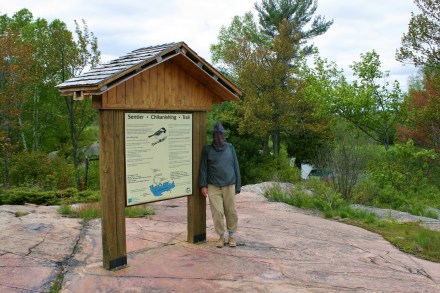
Crocodile Dundee in his bug-hat at the start of the Chikanishing Trail
By this time we had realised that hiking in Canada is not quite like hiking in Britain. ‘Trail’ does not mean ‘path’. It simply means a straight line joining a series of waymarks, some of which are attached to trees and some painted onto slabs of rock.
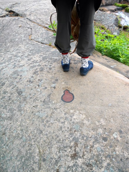
Trail marker on the pink granite. We decided to comply with the Park advice to tuck your trousers into your socks, to minimise the ingress of biting insects
The straight line might just mean traversing a slab of rock, or it might involve picking your way up a rock face, or sliding down one. The Chikanishing Trail was 3.6 km long, and the information board suggested it might take 2 hours or more to complete. It took us nearly 3, owing only in part to frequent photography stops. It was quite a challenge for someone in their 7th, or even 8th, decade.
But it was worth it, with stunning views out over Georgian Bay and towards the hills behind us.
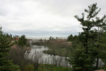
Killarney Provincial Park

Killarney Provincial Park
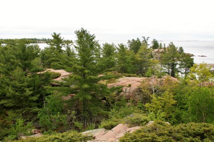
Killarney Provincial Park

Killarney Provincial Park
We didn’t see any bears, but we did see some lovely wildflowers, including the rare Showy Lady’s Slipper orchid.
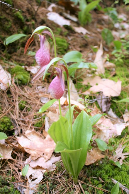
Showy Lady’s Slipper

Clintonia Borealis

Starflower, Lysimachia borealis

Bunchberry, cornus canadensis
We had no map. Debbie had assured us that the way was so well-marked that we couldn’t possibly get lost, or need one. But I realised after some time that the value of a map is not simply that it helps to identify where you are, but perhaps more importantly, gives an indication of how much further you have to go. We had been scrambling over the rocks, apparently getting further and further away from the starting point, for what seemed a worrying length of time, before the trail suddenly took a sharp left and led us for the last half-mile along a wooded path through the trees.