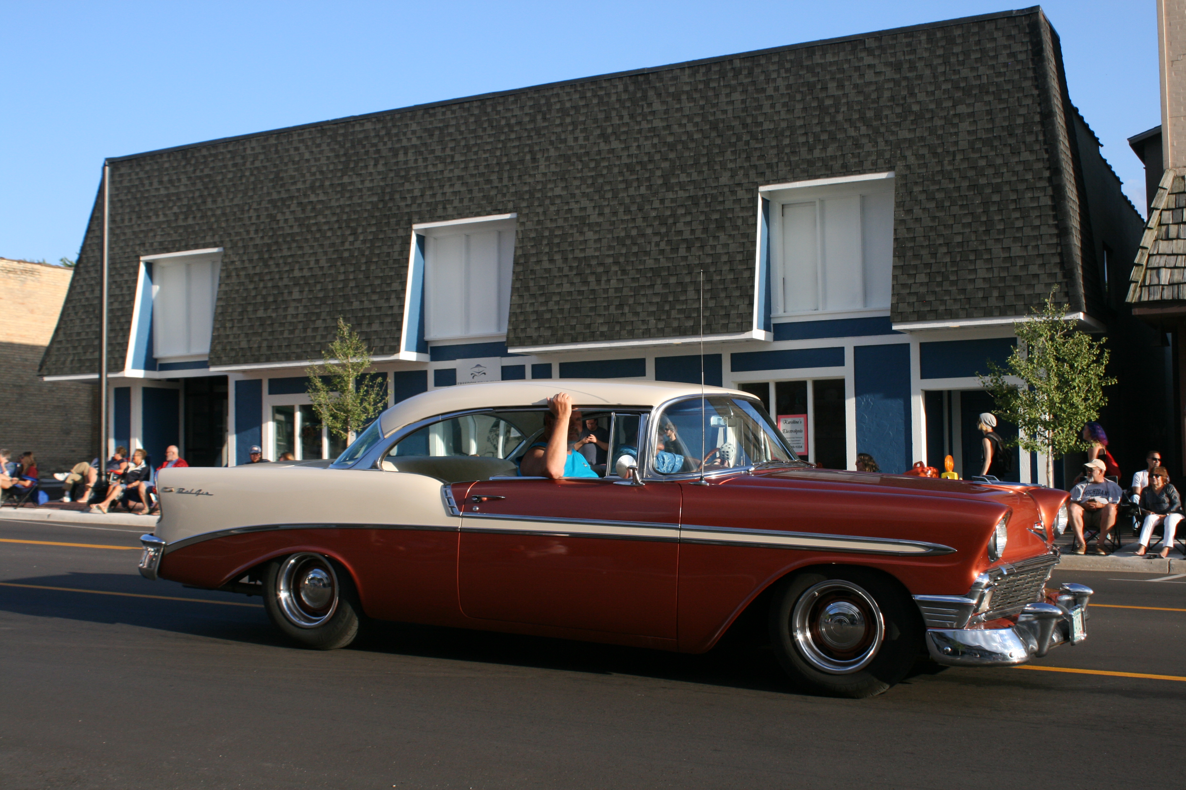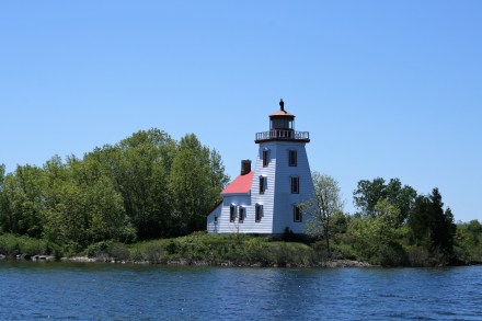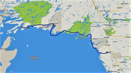

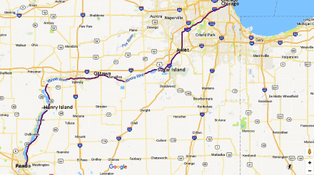
Chicago to Peoria
Just when you imagine that you’ve got the knack of this boating business, and that nothing could possibly go wrong, events prove otherwise.
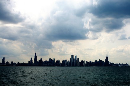
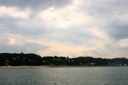
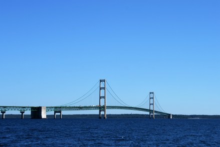
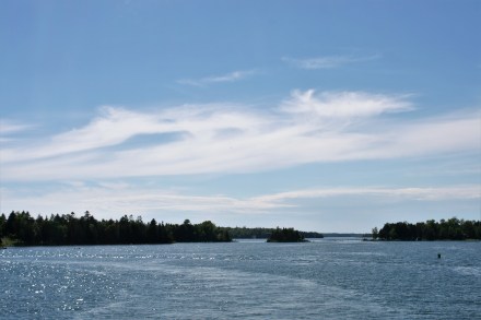
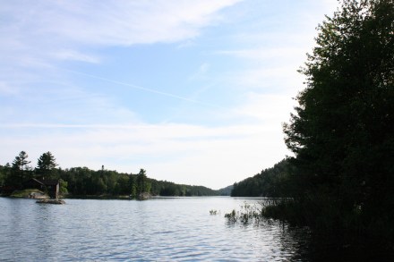
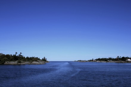
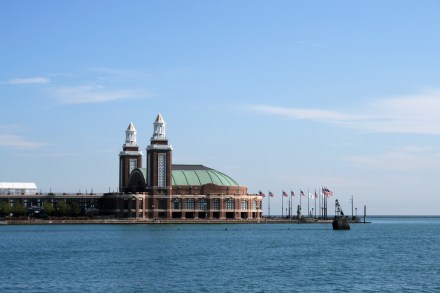
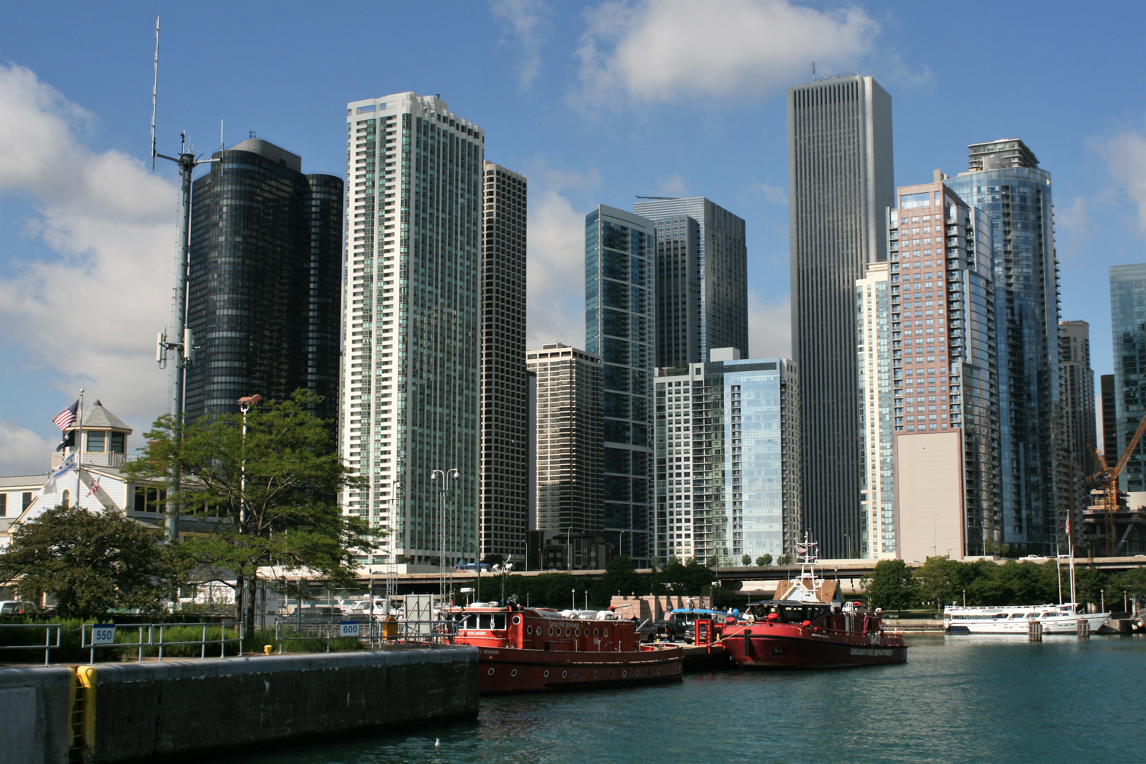
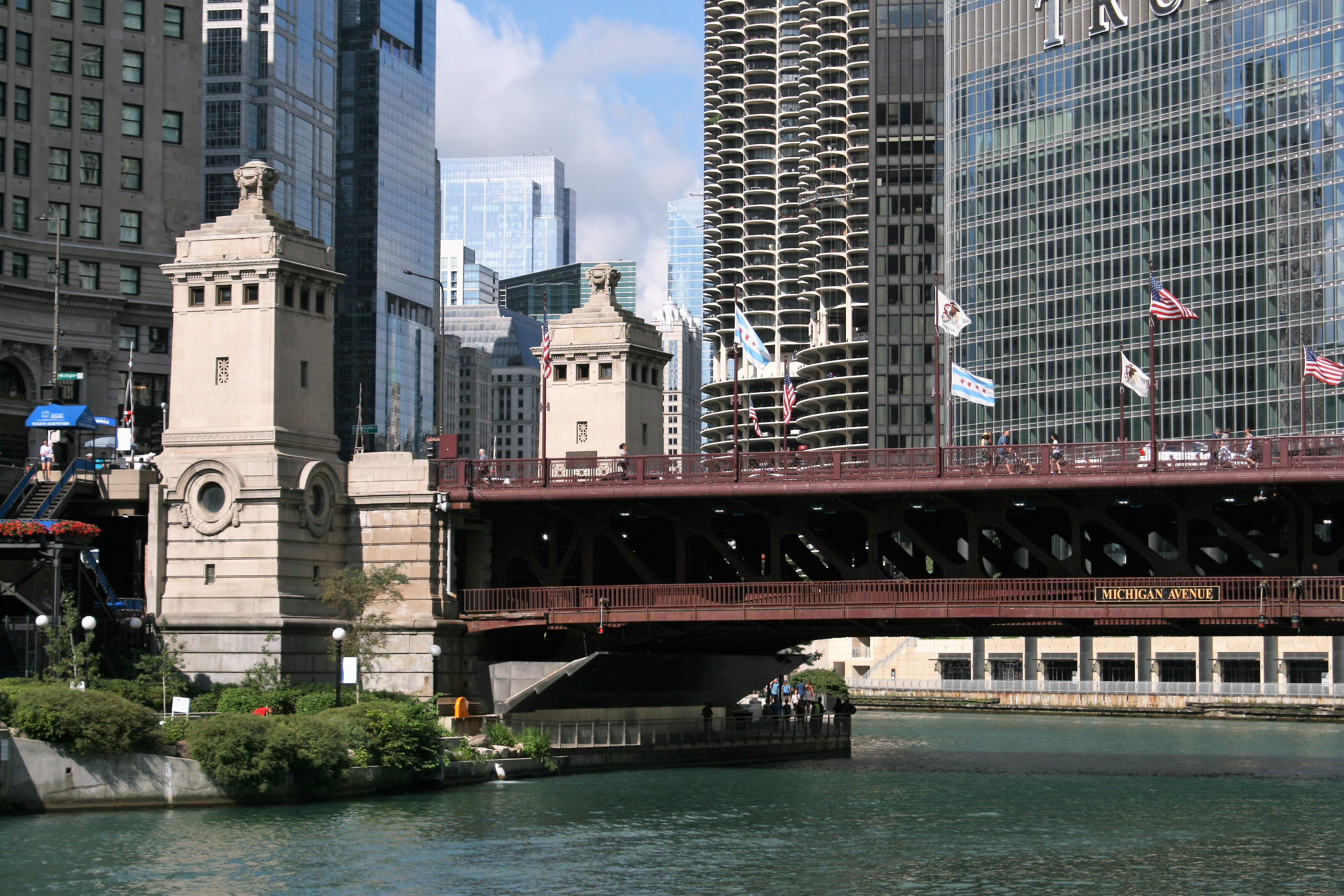
Approaching Chicago

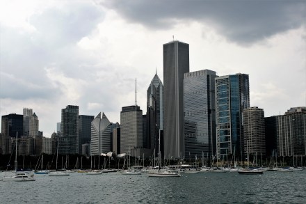
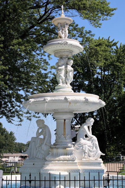
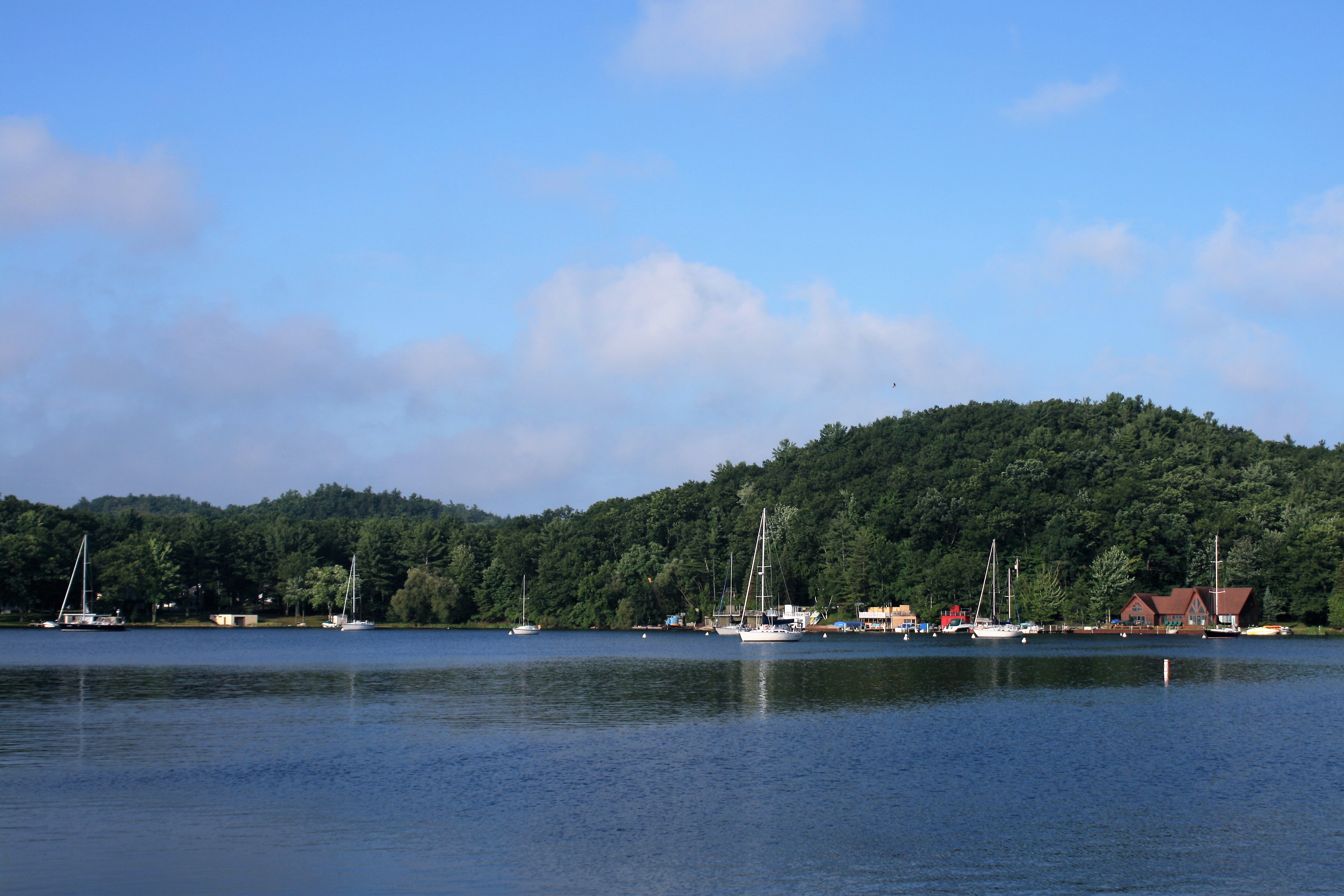
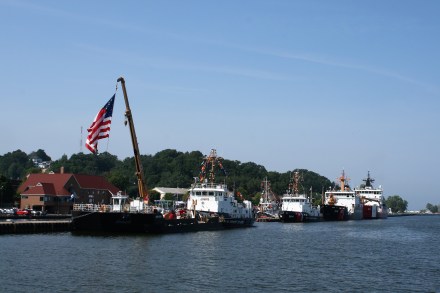
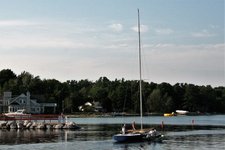
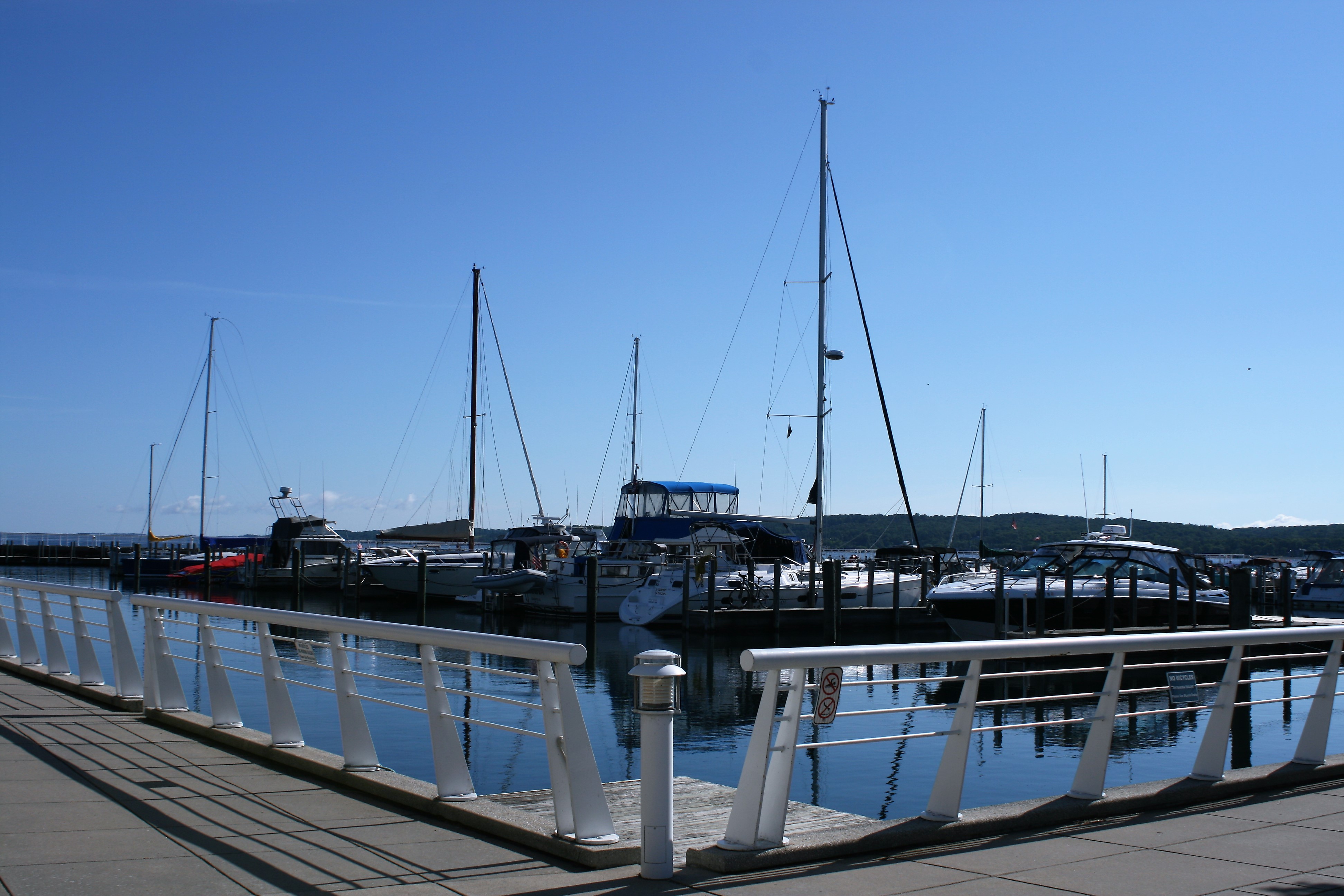
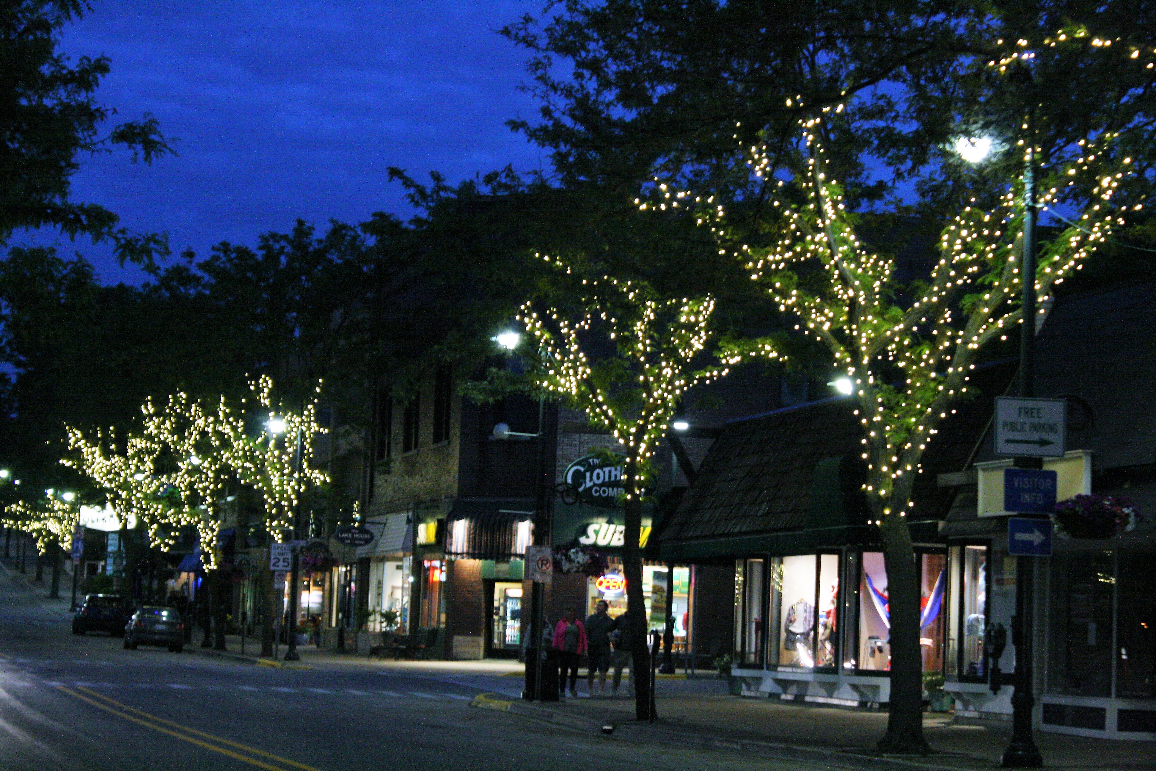
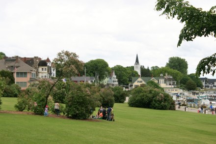
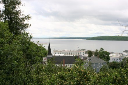
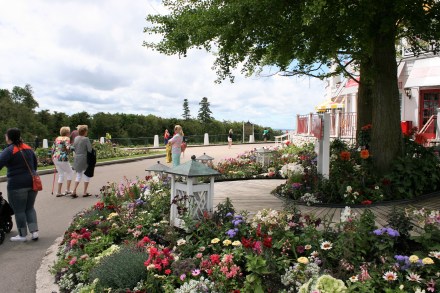
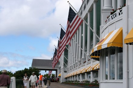
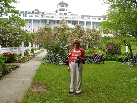
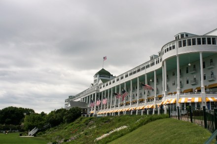
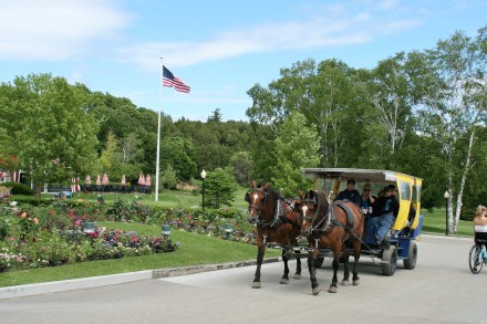
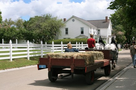
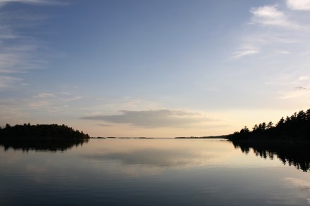
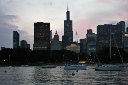
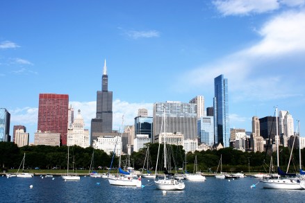
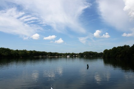
Monroe Harbor, Chicago
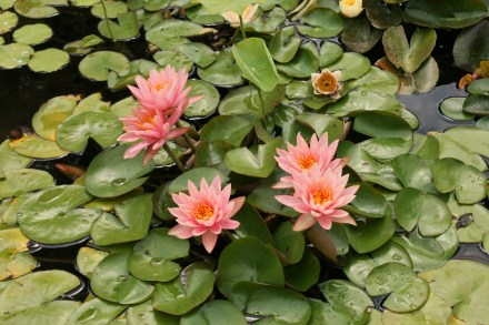
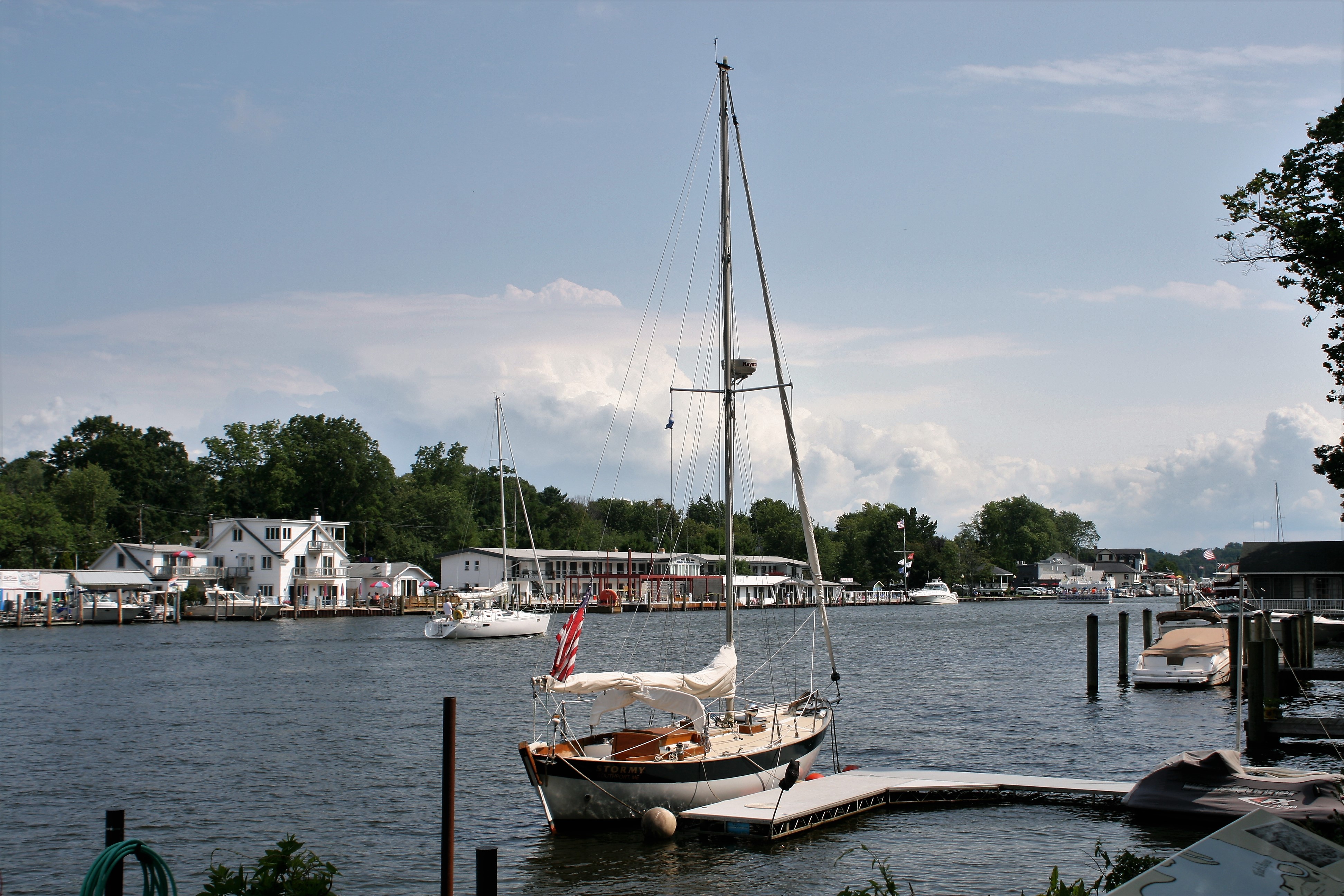
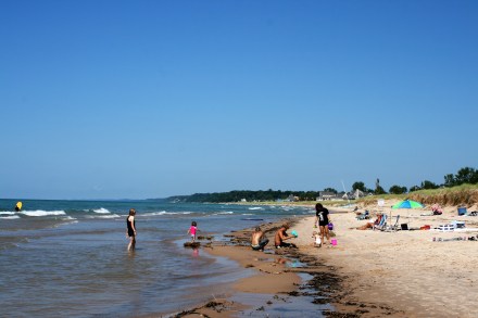
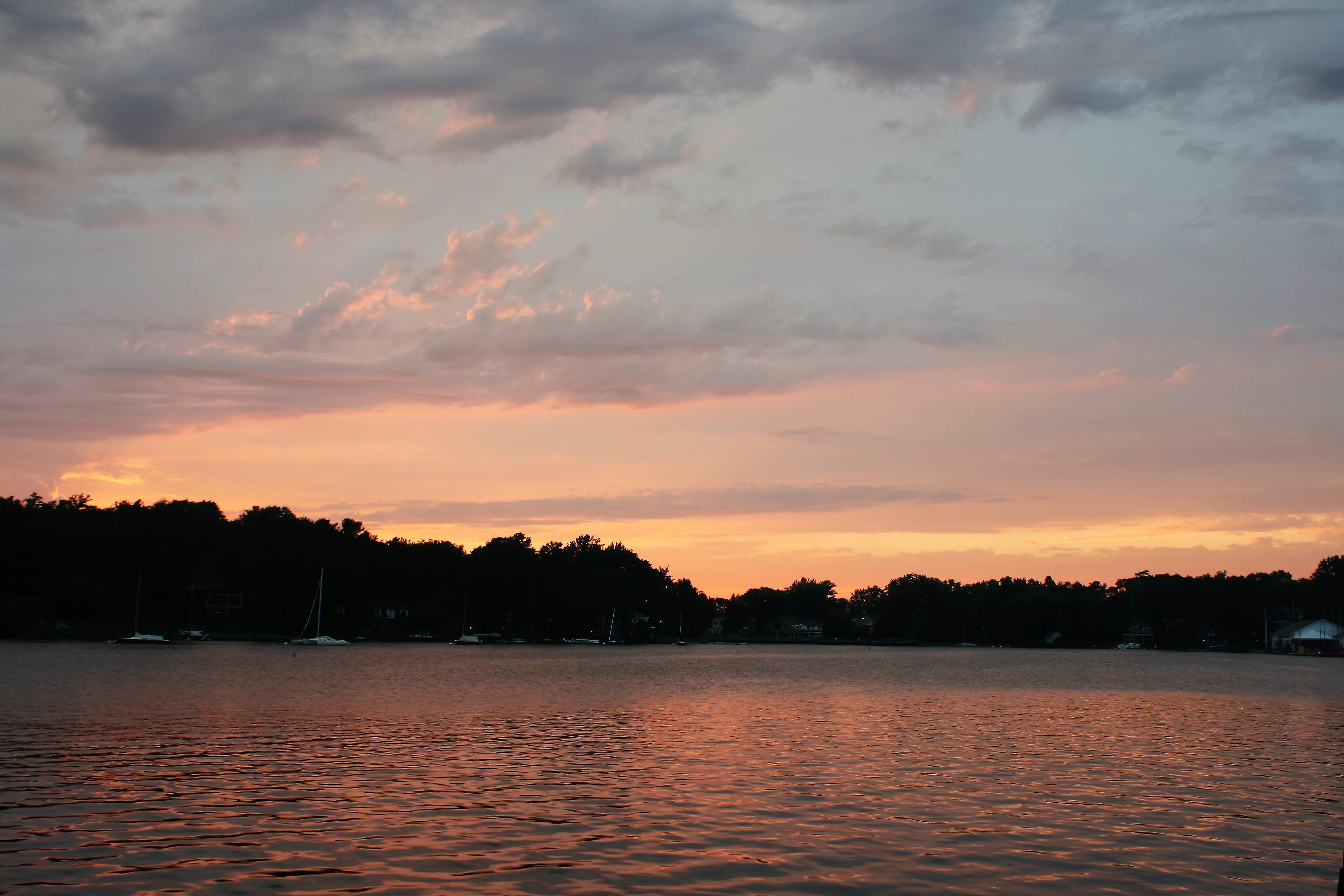
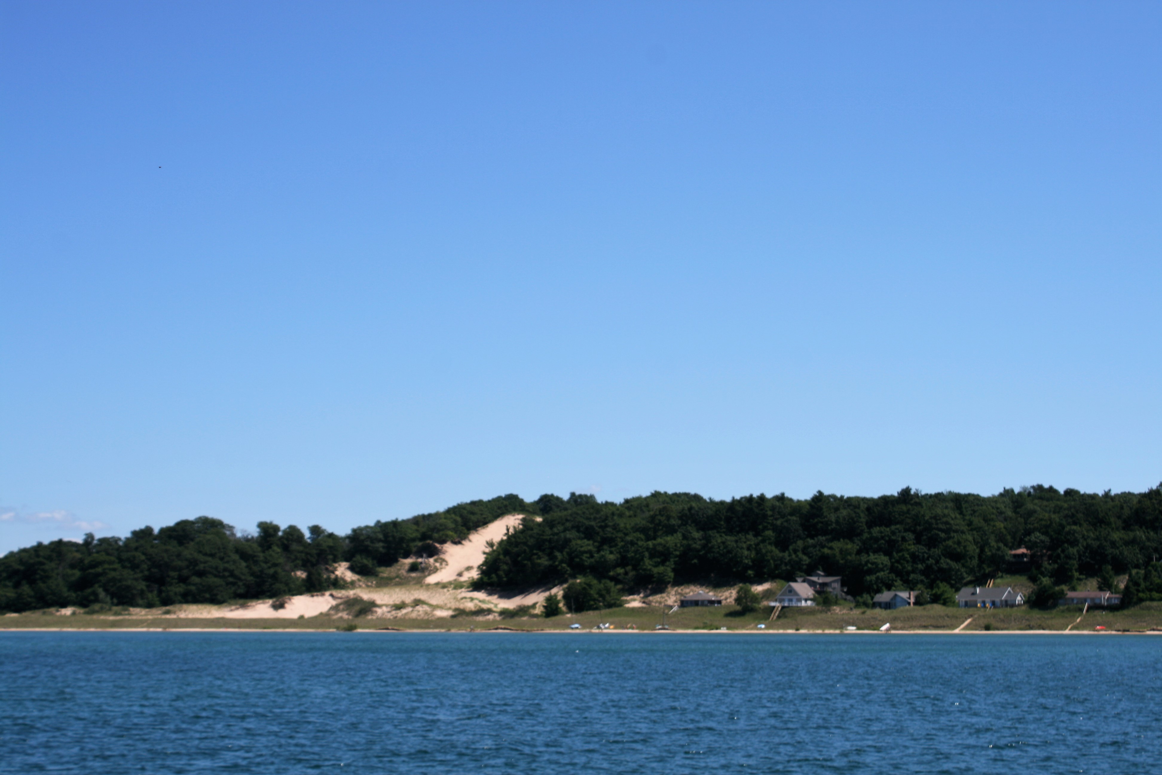
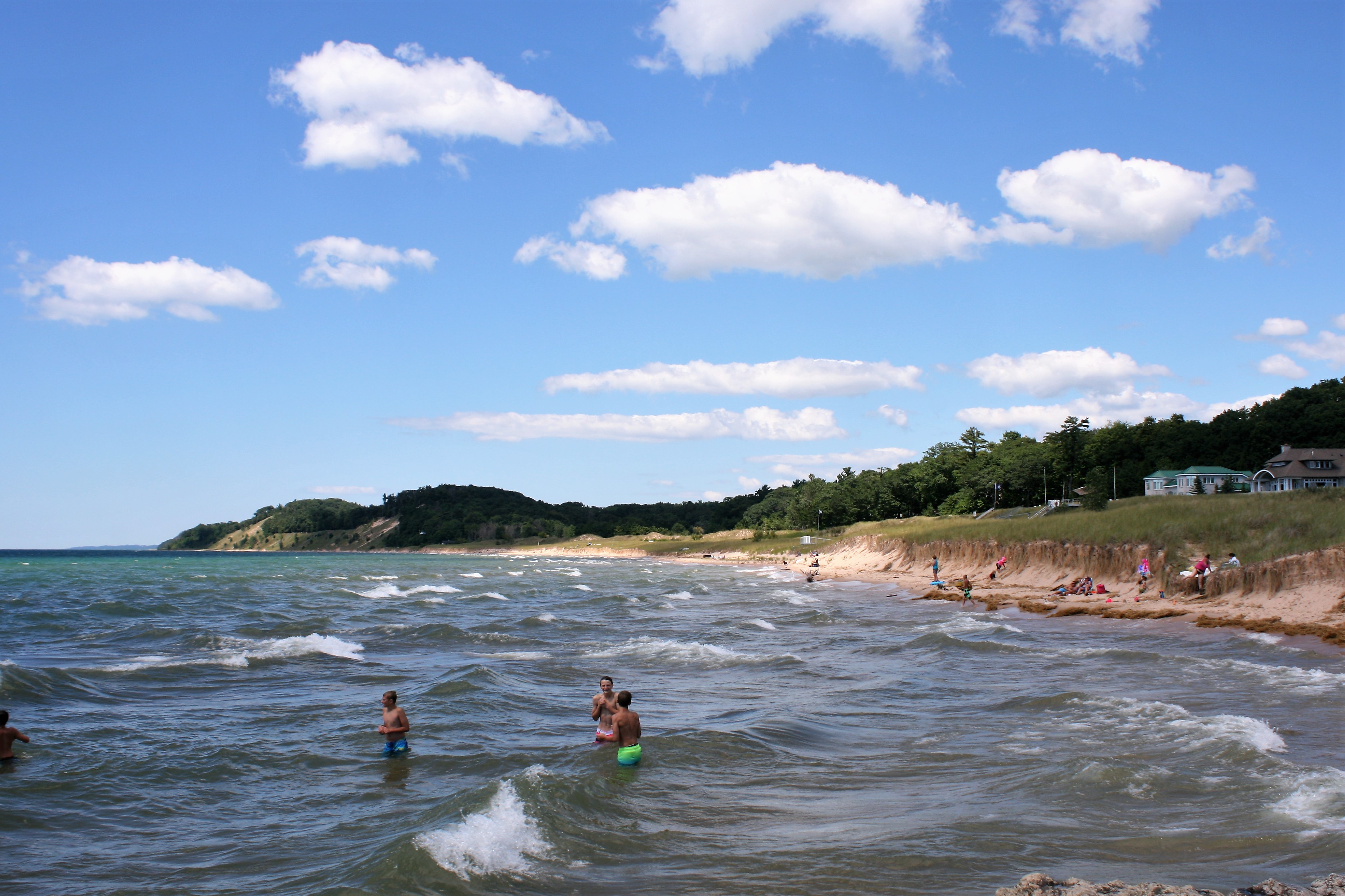
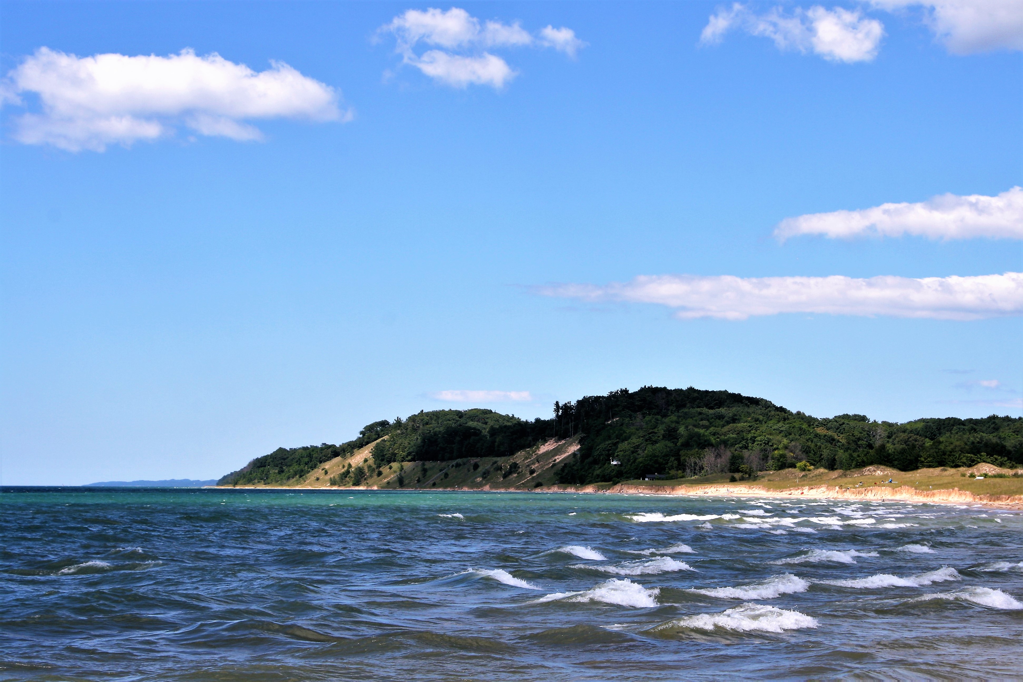
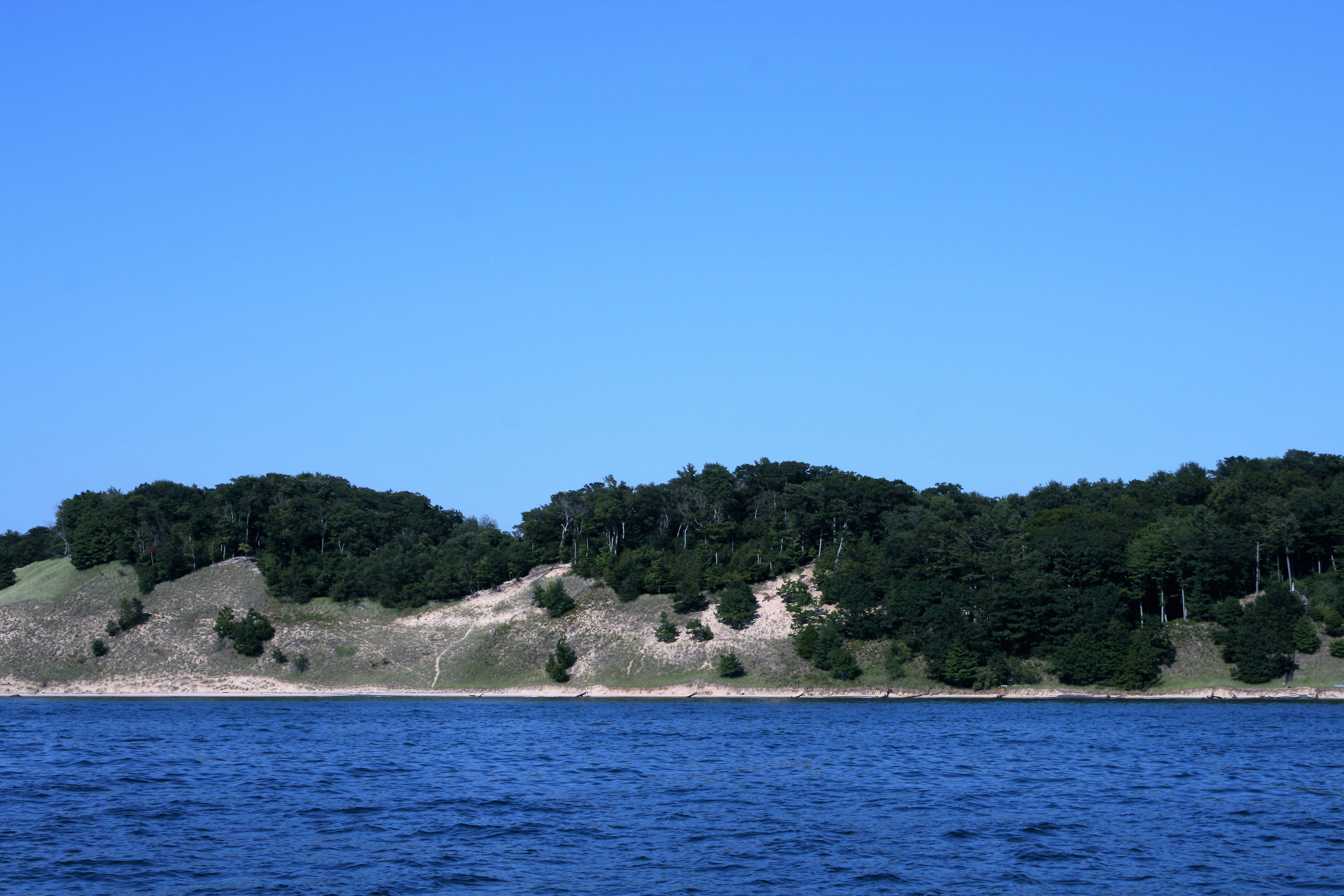
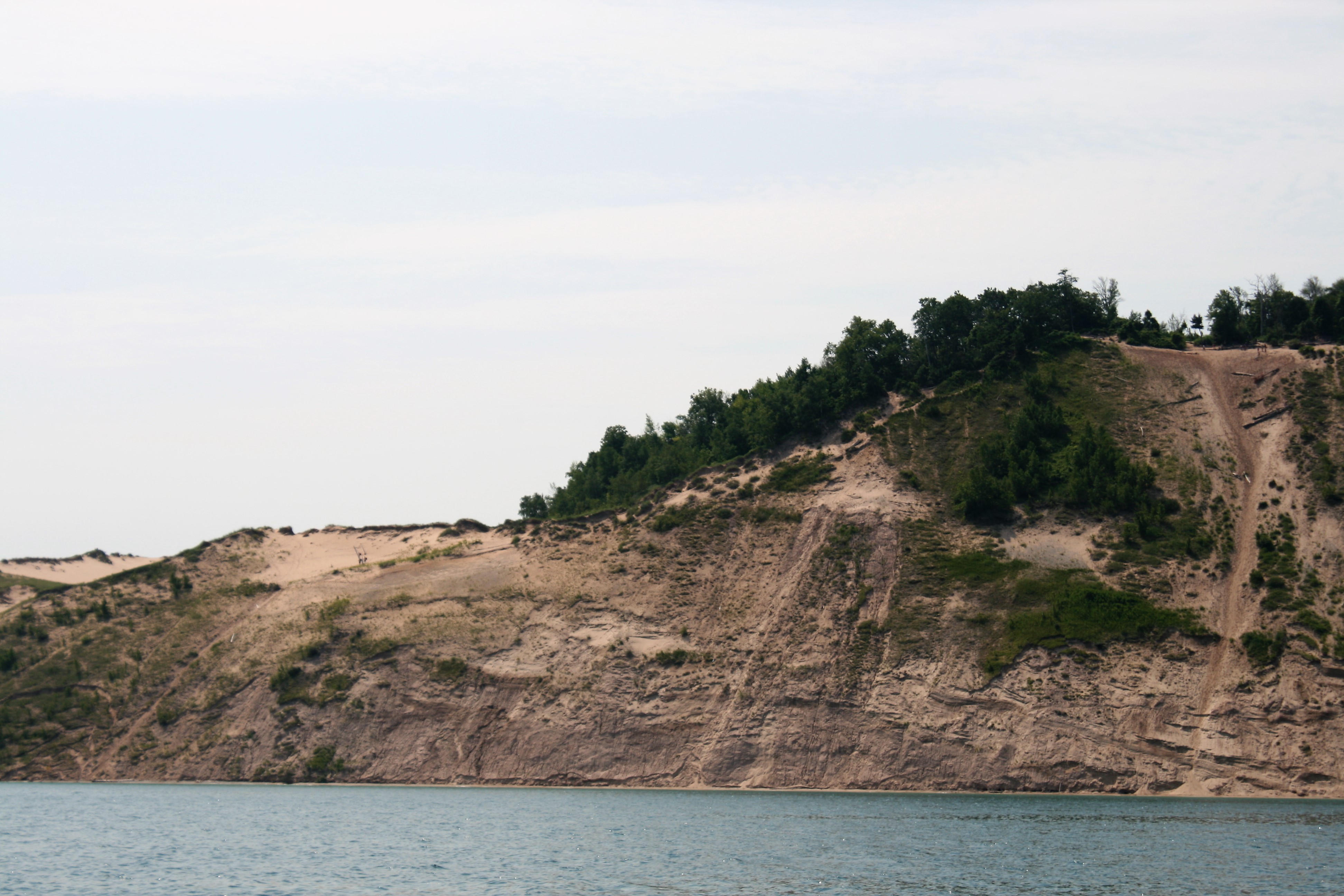
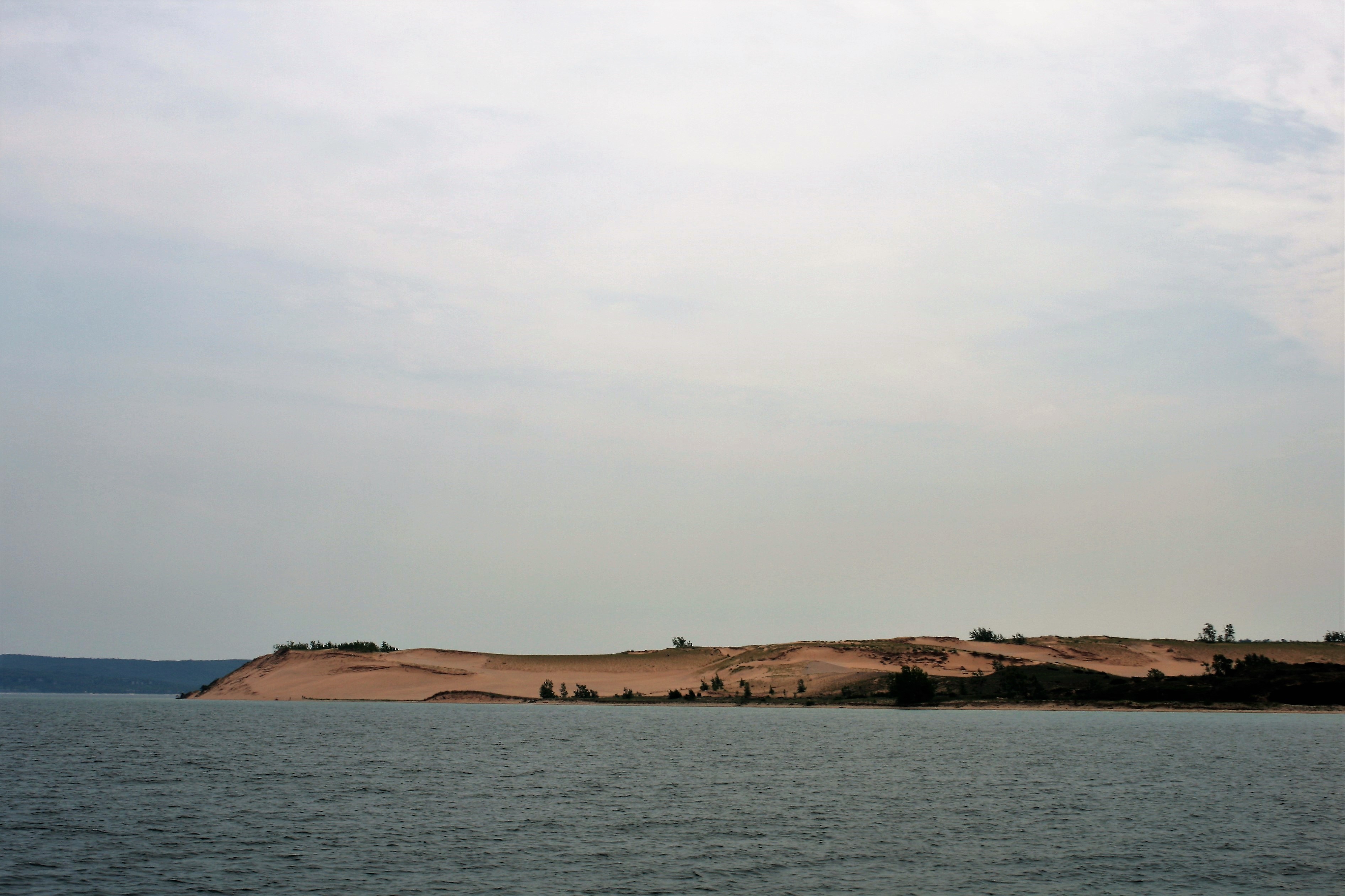
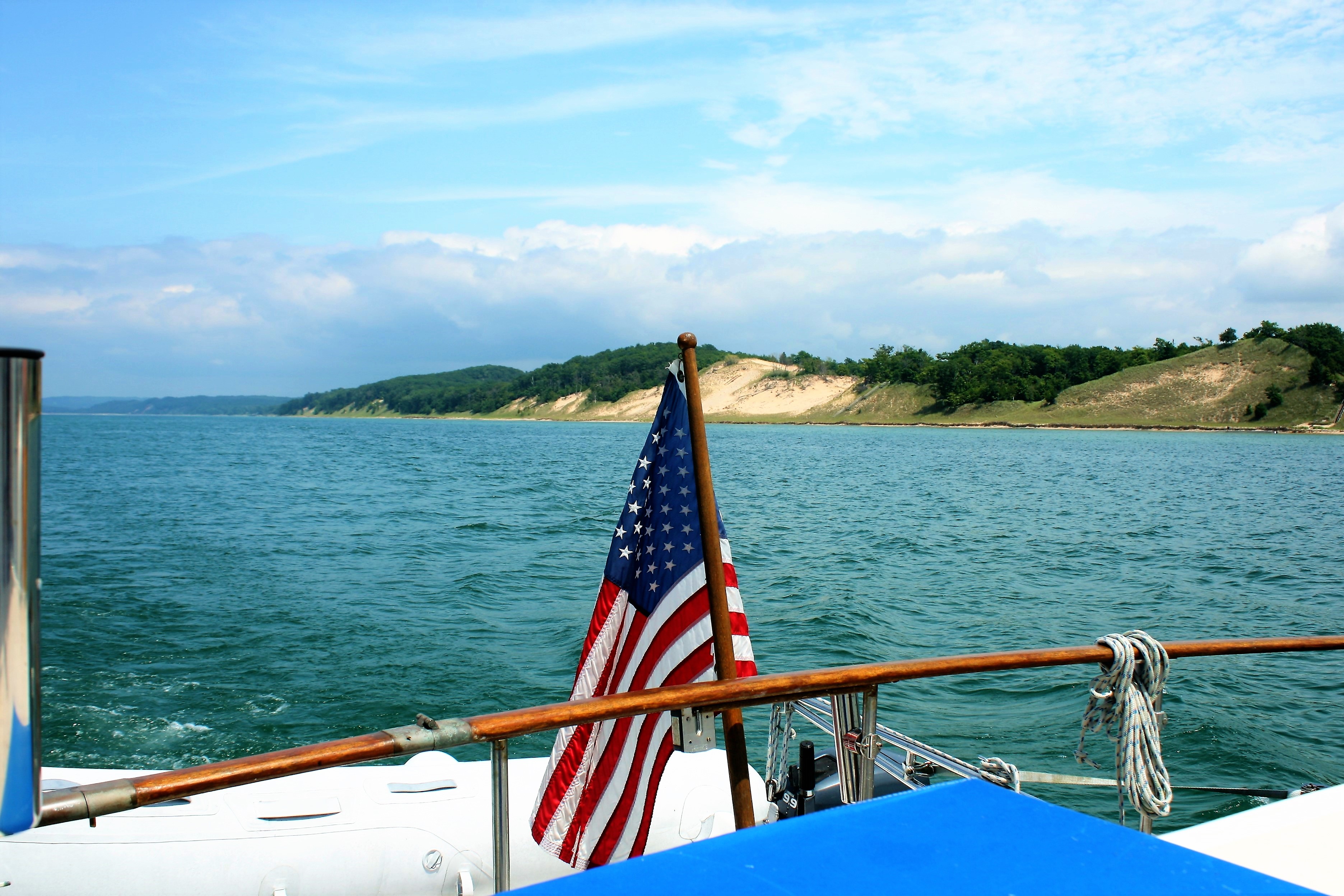
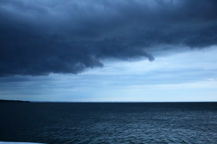
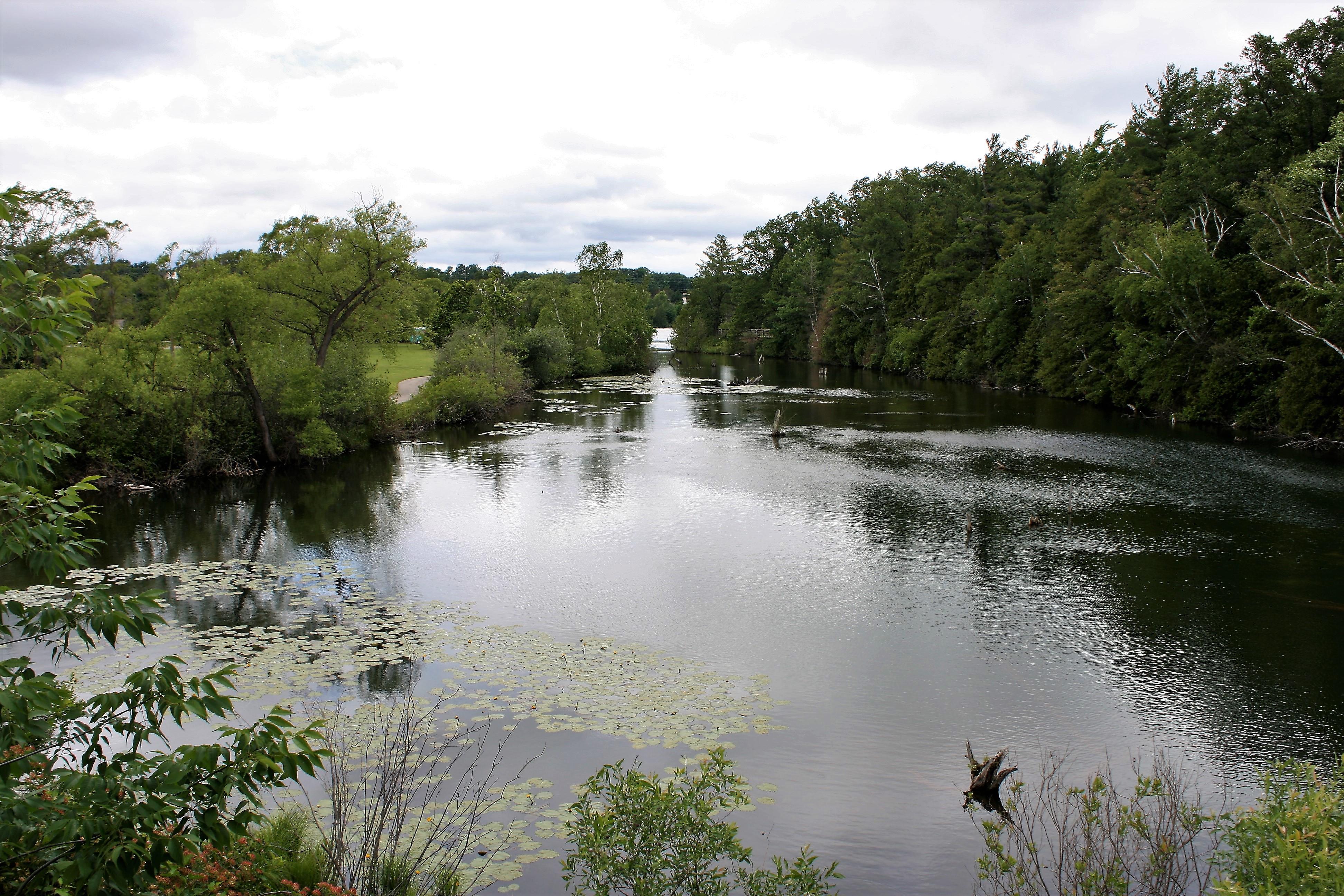
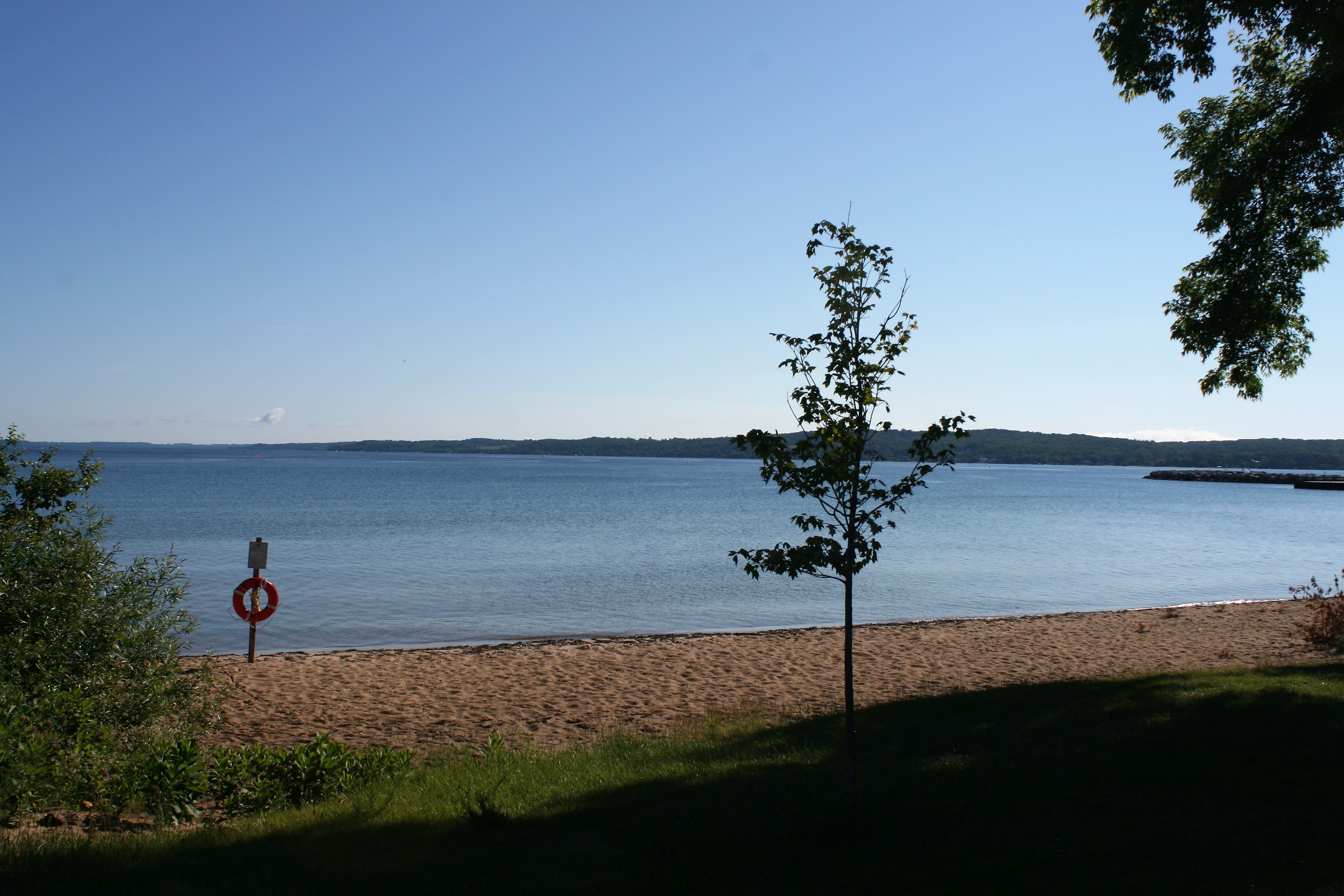
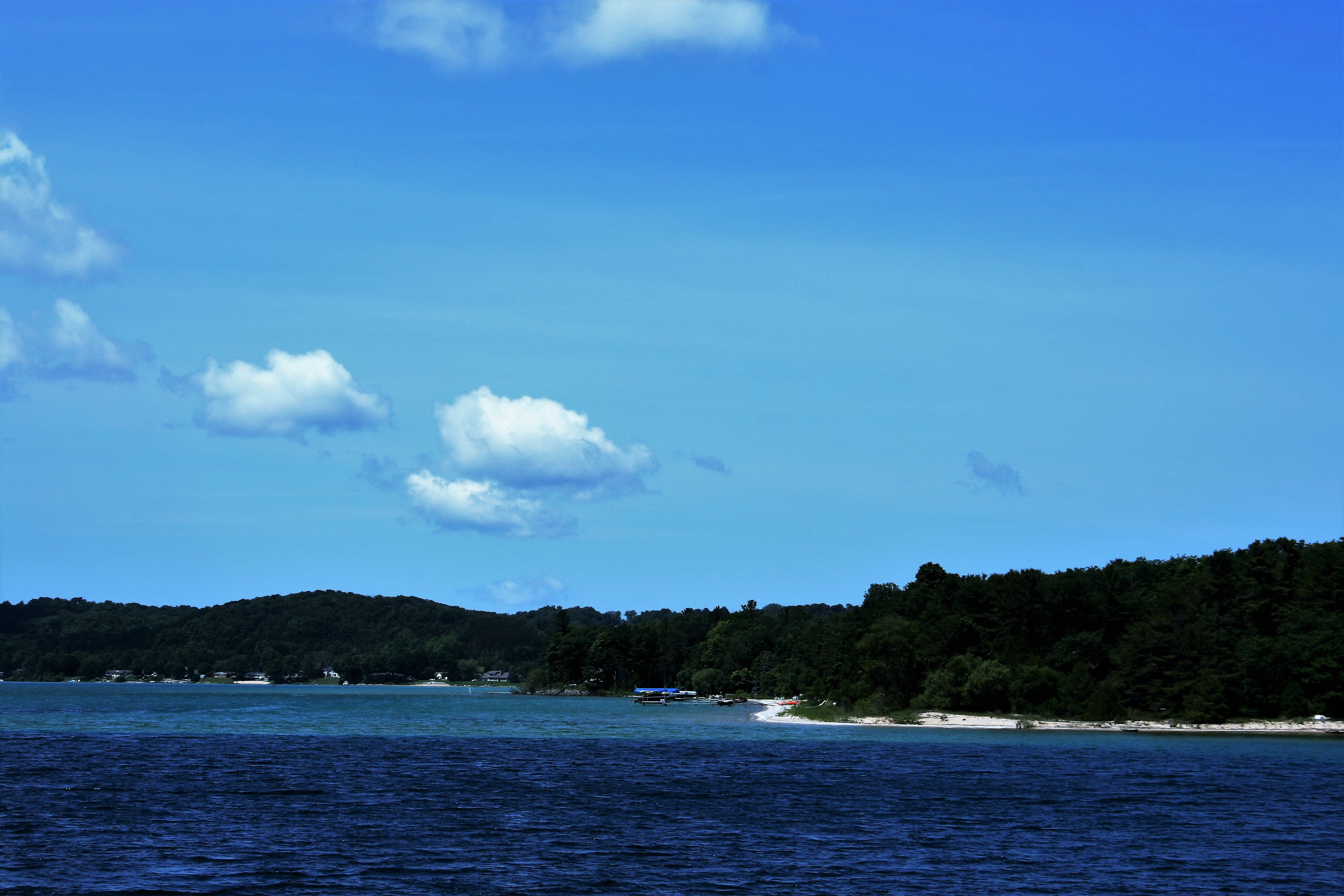
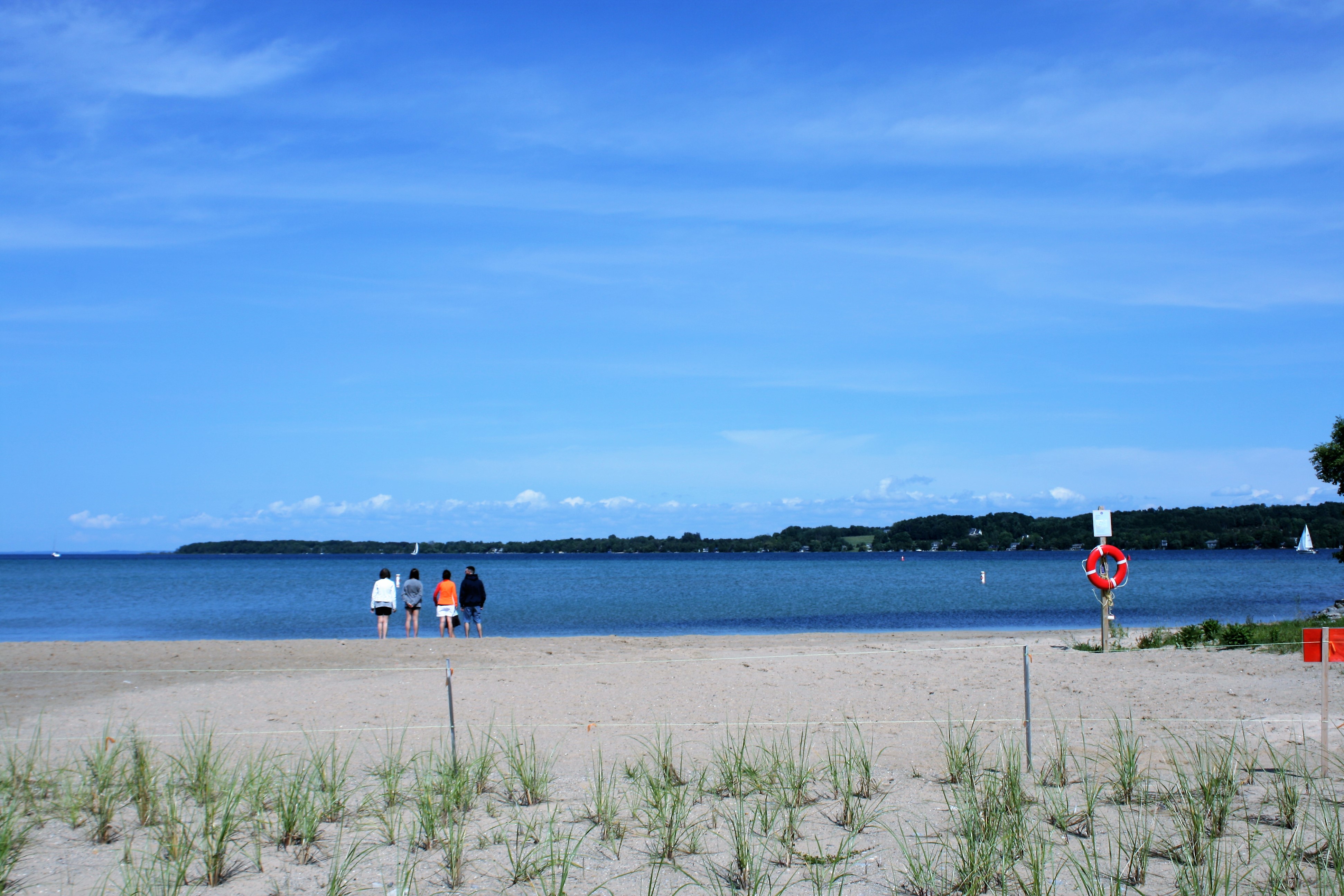
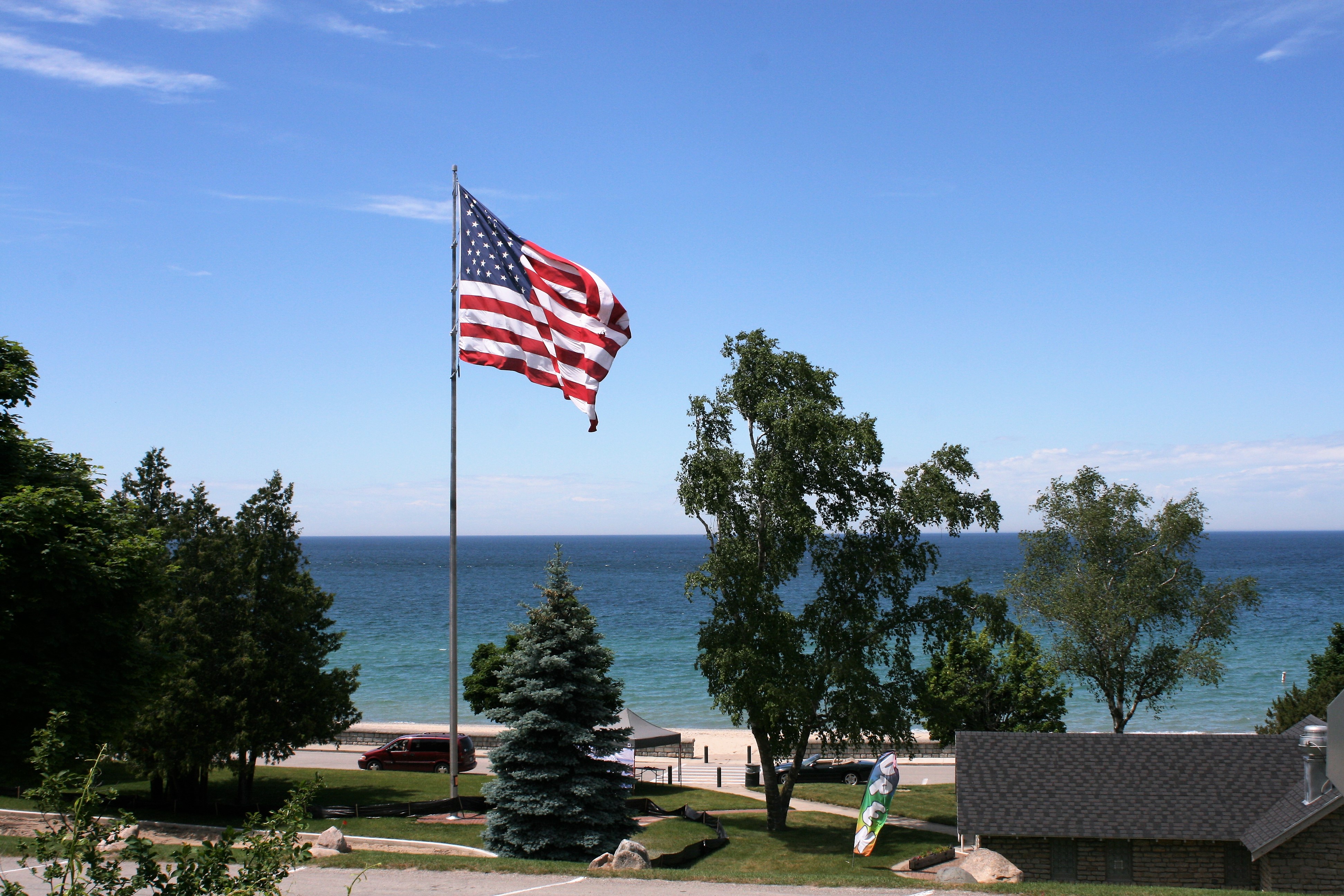
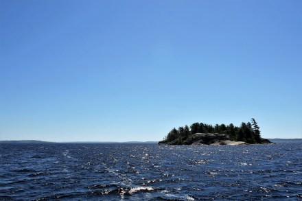
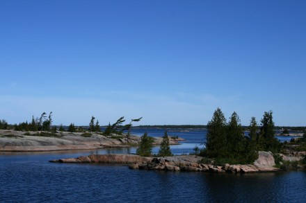
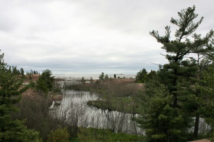
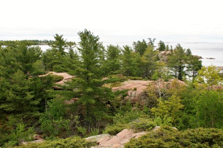
As we got closer to Chicago and the skyline loomed stark against the grey clouds that were building up, I thought about all the wild, beautiful places we had seen on this part of the trip – the wilderness of the North Channel, the beauty of Grand Traverse Bay, the dunes and the attractive towns and villages we had visited along Lake Michigan’s Eastern shore.
But approaching a great city from the water moved me in a quite different way, as I thought of all the history, the struggles and endeavours of past and present generations that any big city represents.
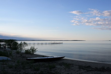
These lofty thoughts quickly dispersed when we had to address the practicality of mooring Carina in Monroe Harbor. I was already feeling queasy from taking photographs with Carina rocking about in the increasing swell. We had pre-booked a mooring – H19. It wasn’t easy to read the small numbers on the balls, but we found it. Ian brought Carina round into the wind and I grabbed the eye of the ball with the boat hook, expecting the ball to lift out of the water so I could attach a line. But nothing happened and with Carina being blown backwards, it took all my strength to keep my grip on the boat hook. Ian came down but there was no way we could reach down 8 feet to get a line attached. To add to the drama, Ian sustained a deep 2-inch gash to his thumb from something sharp on the boat hook, and this had to be quickly dressed before he could radio for help. The harbourmaster very obligingly came out straight away, took a line off us and attached it to the ball. He reassured us that it wasn’t our fault – our foredeck was simply too high above the water to reach down. We later learned that there are little ‘hats’ which fit over the mooring balls and which make the operation easier, but you have to reserve them in advance. And also that we could have done it from the swim platform at the back of the boat, if the dinghy hadn’t been restricting our access.
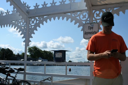
The plan for the evening had been to get a water taxi and go for dinner at the Chicago Yacht Club. But Monroe Harbour is quite open to the lake, and the harbourmaster had told us there was a storm coming. The waves had been steadily increasing as we approached Chicago, but I had hardly noticed, amid the stress over the mooring ball and the lacerated thumb.
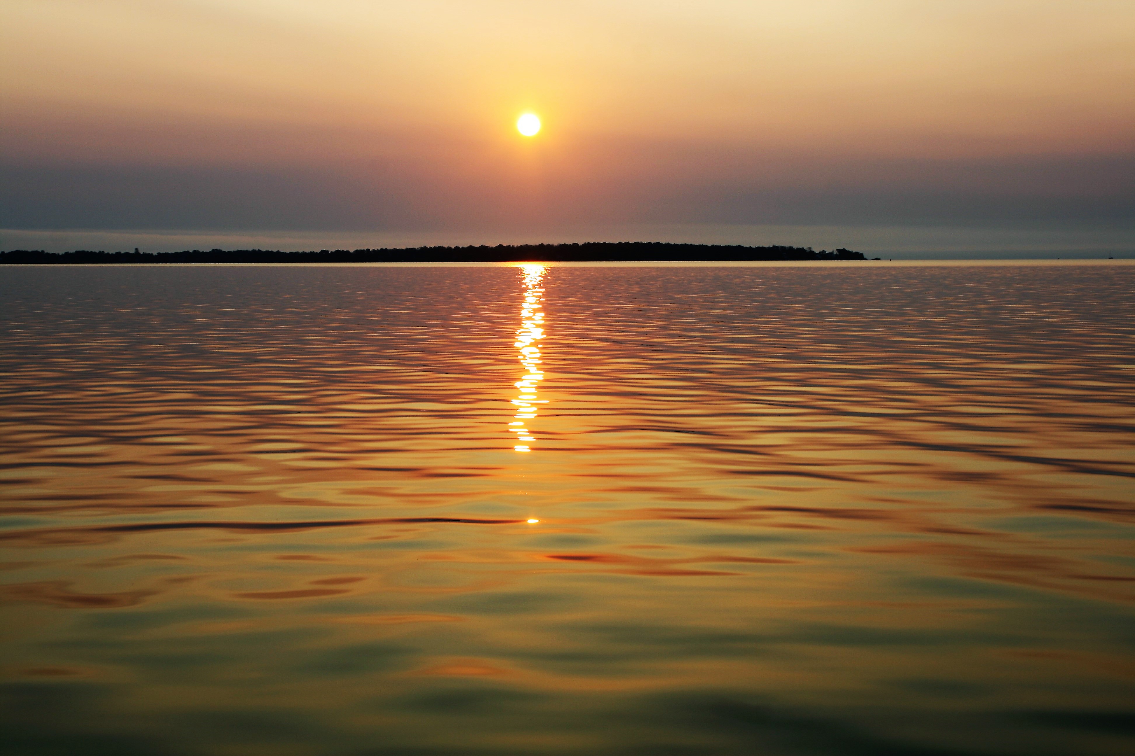
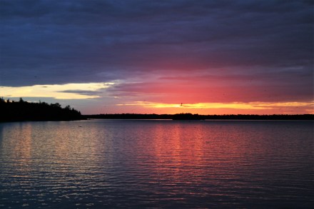
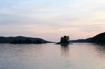
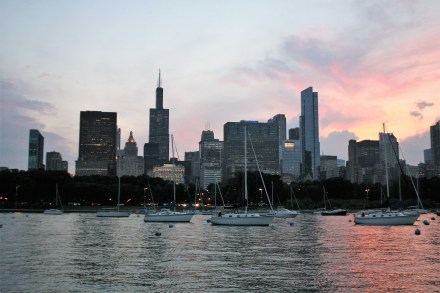
But as soon as we were safe, and the engine turned off, I realised that I really felt quite ill and spent the rest of the evening lying in my darkened cabin, while Ian got his own dinner. I was able though to emerge at nightfall for a few minutes to take some more photographs.
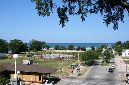
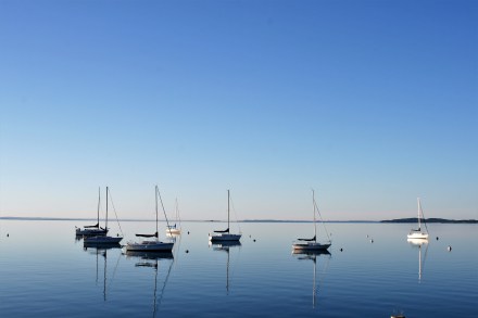
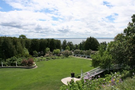
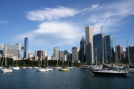
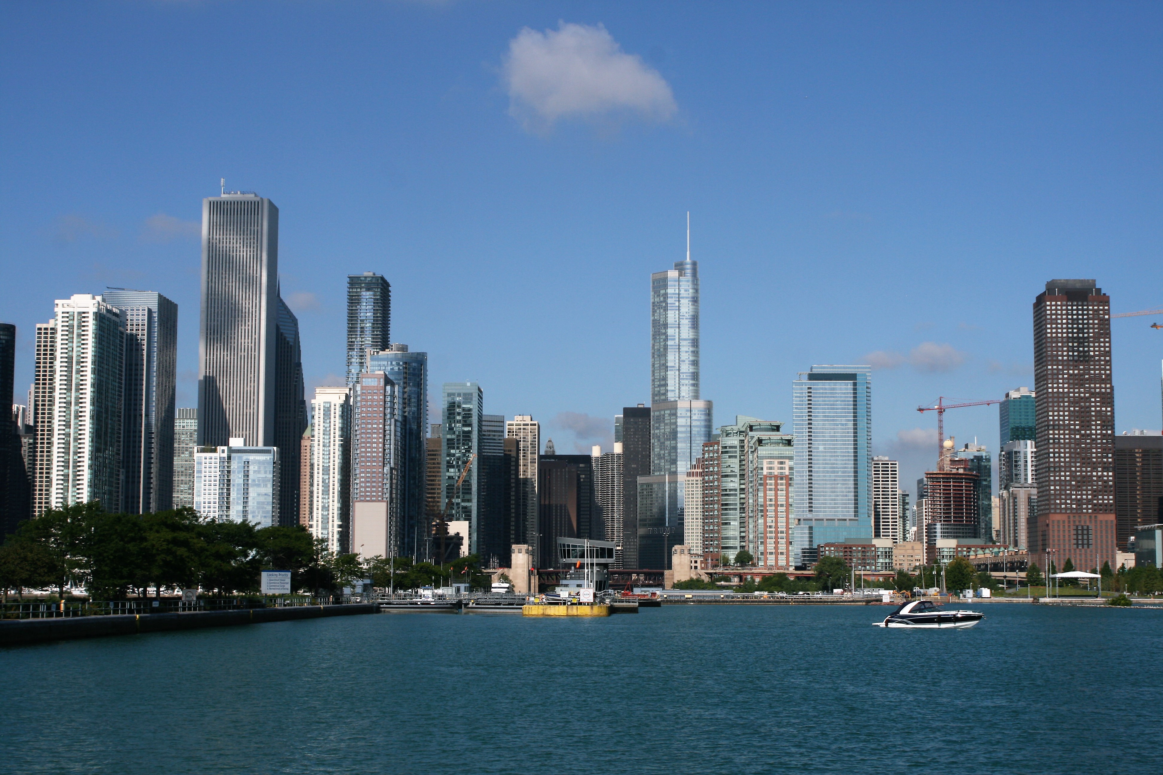
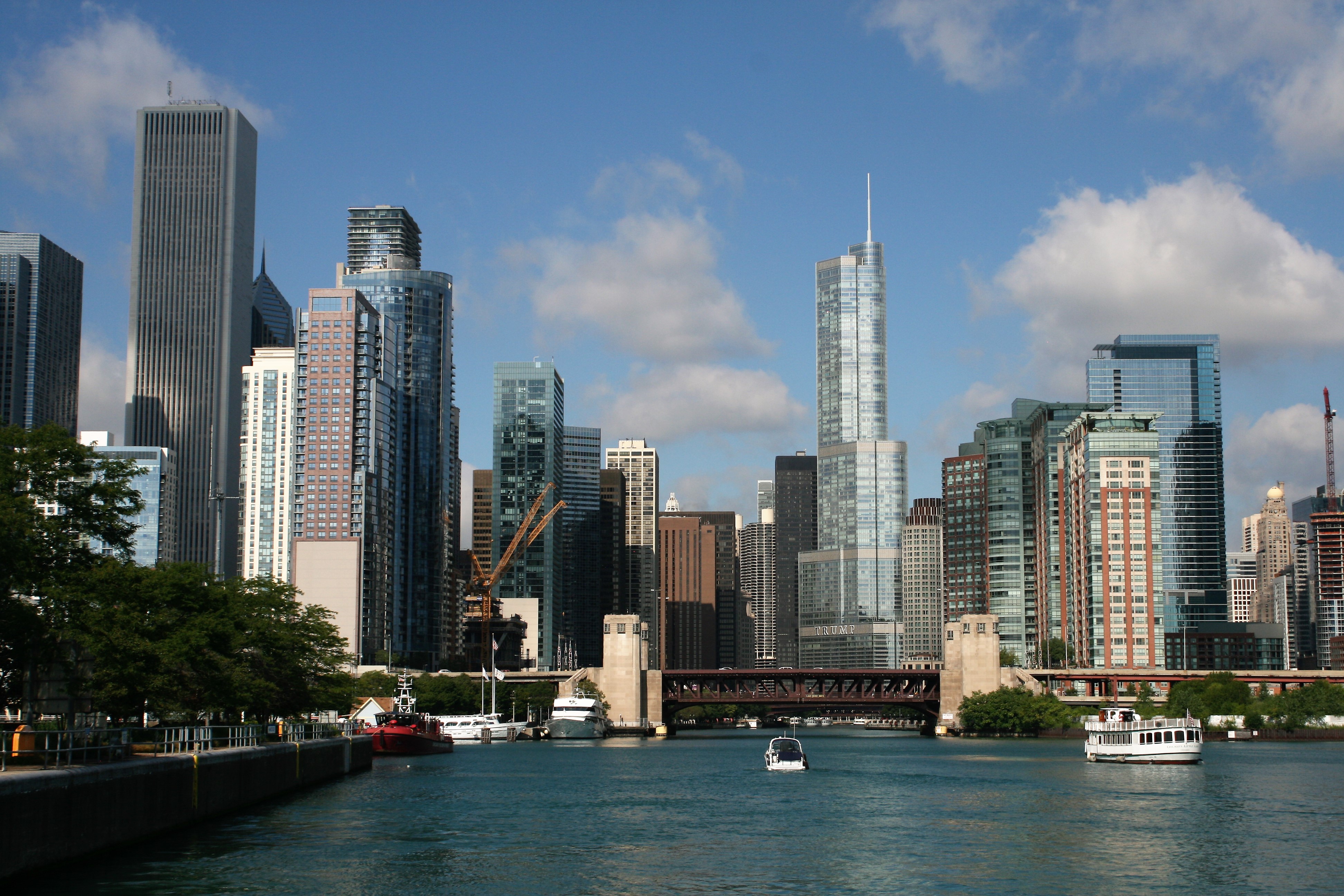
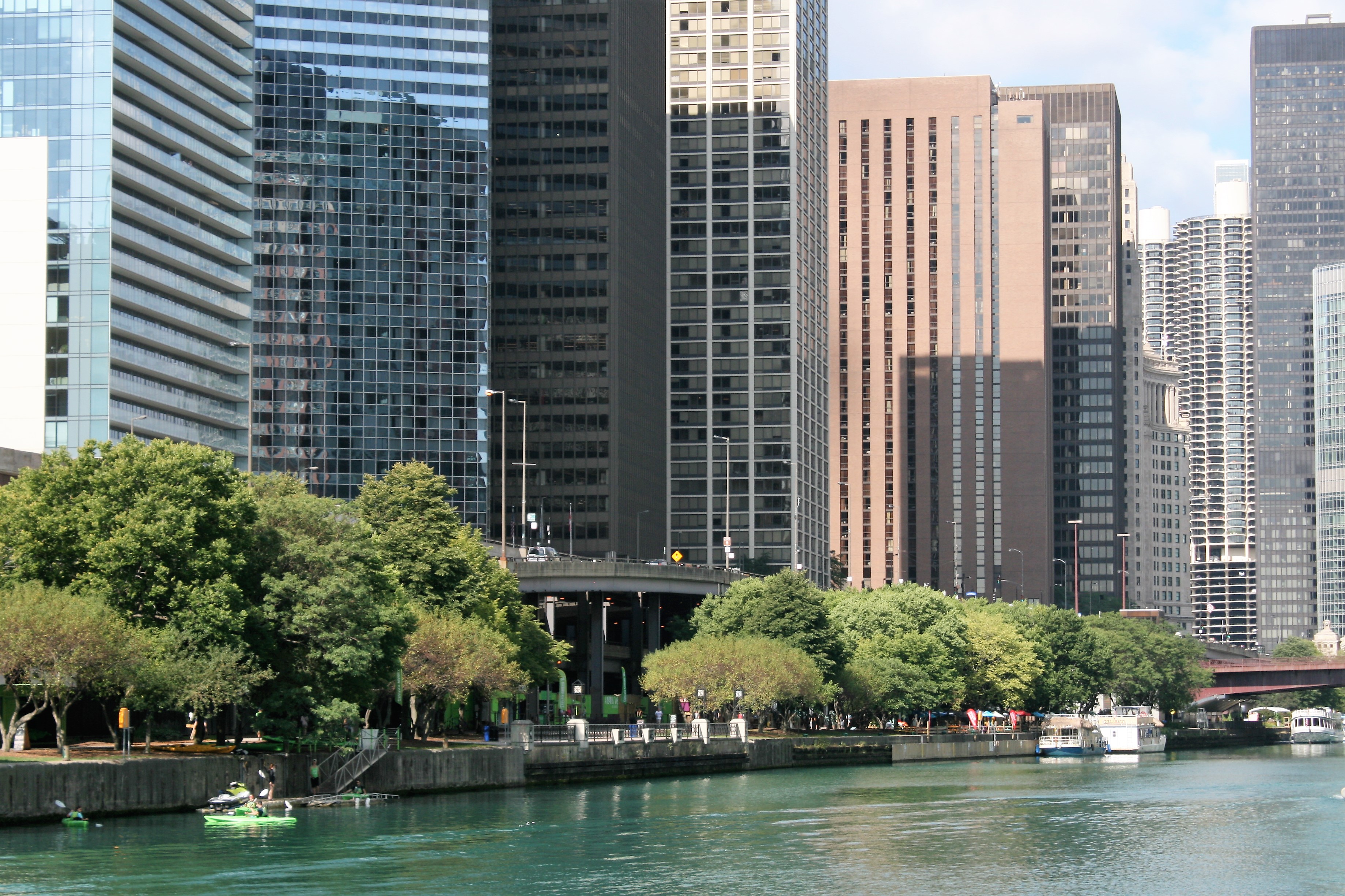
Monroe Harbor, Chicago
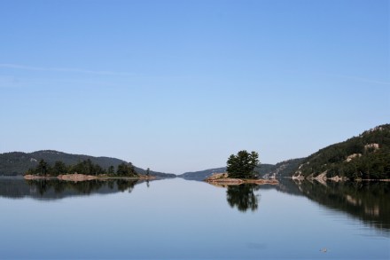
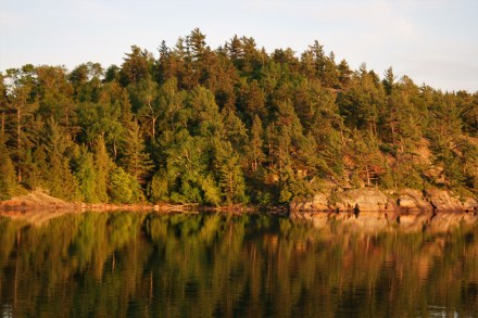
The next morning, the wind had changed direction, all was calm, and the sun came out.
We had already decided that we would press on to Peoria where we were going to leave the boat till next year, and save the Chicago sight- seeing till we come back next Spring. It was only a short distance to the Chicago Lock and the start of the Sanitary and Ship Canal.
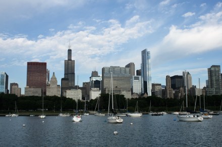
Monroe Harbor, Chicago
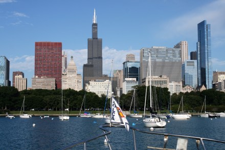
Monroe Harbor, Chicago
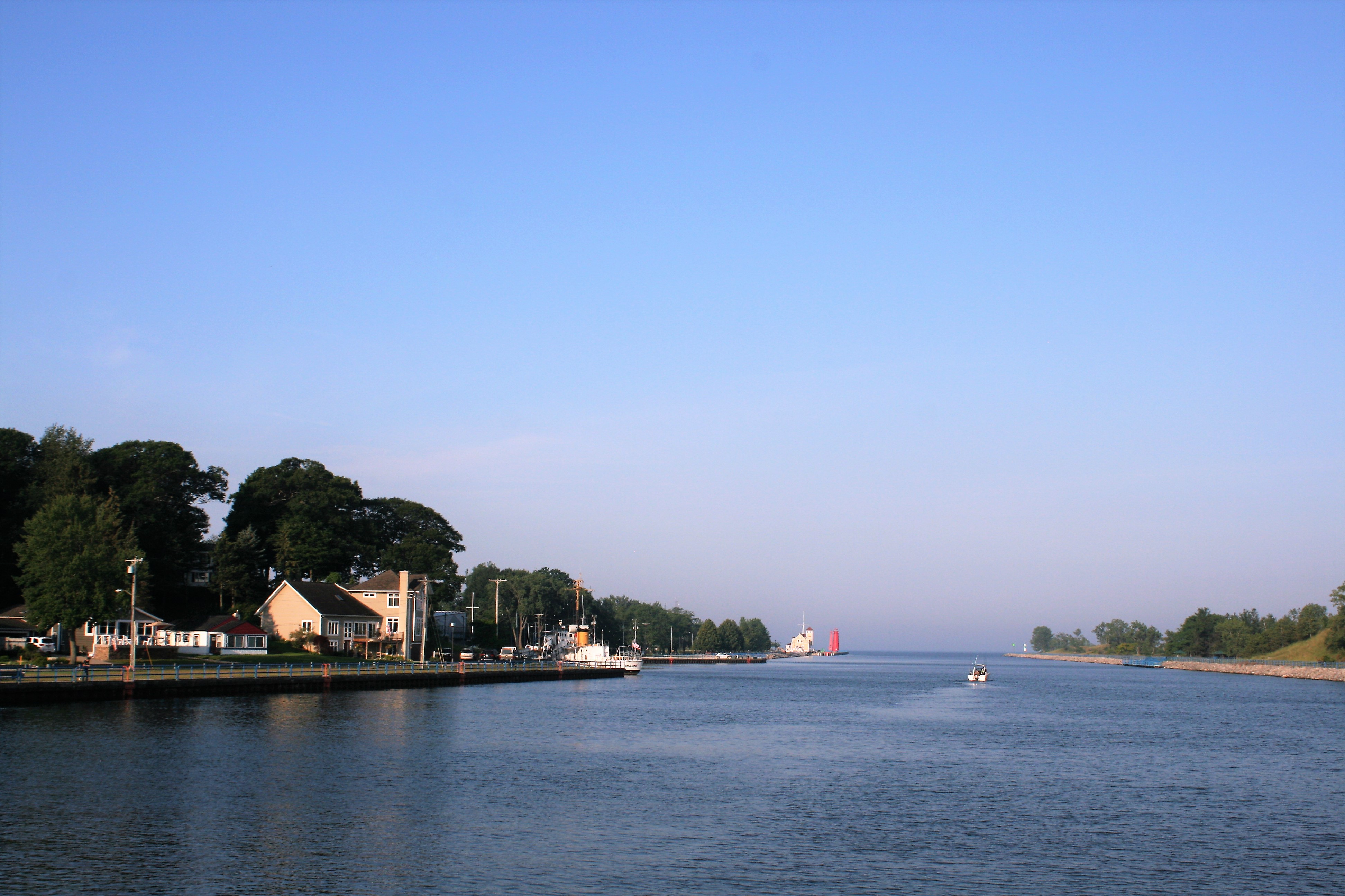
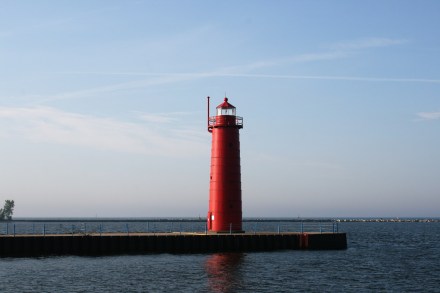
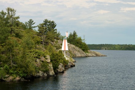
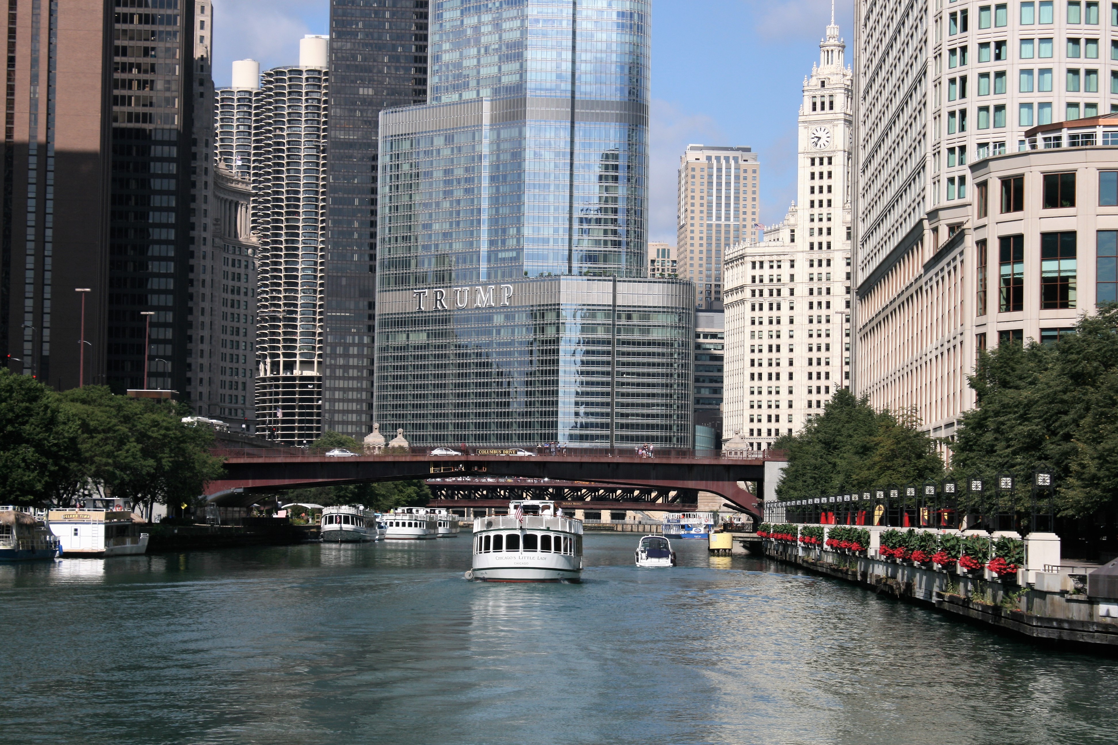
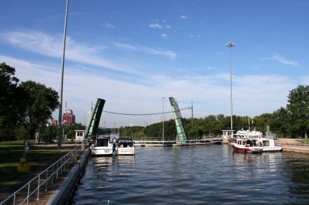
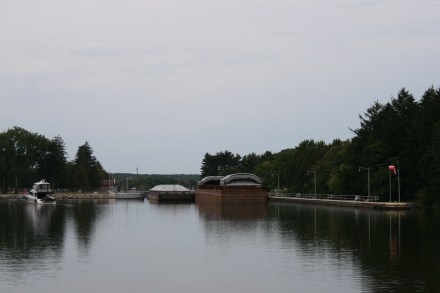
Chicago Lock
Start of the Sanitary and Ship Canal
Leaving Chicago Lock
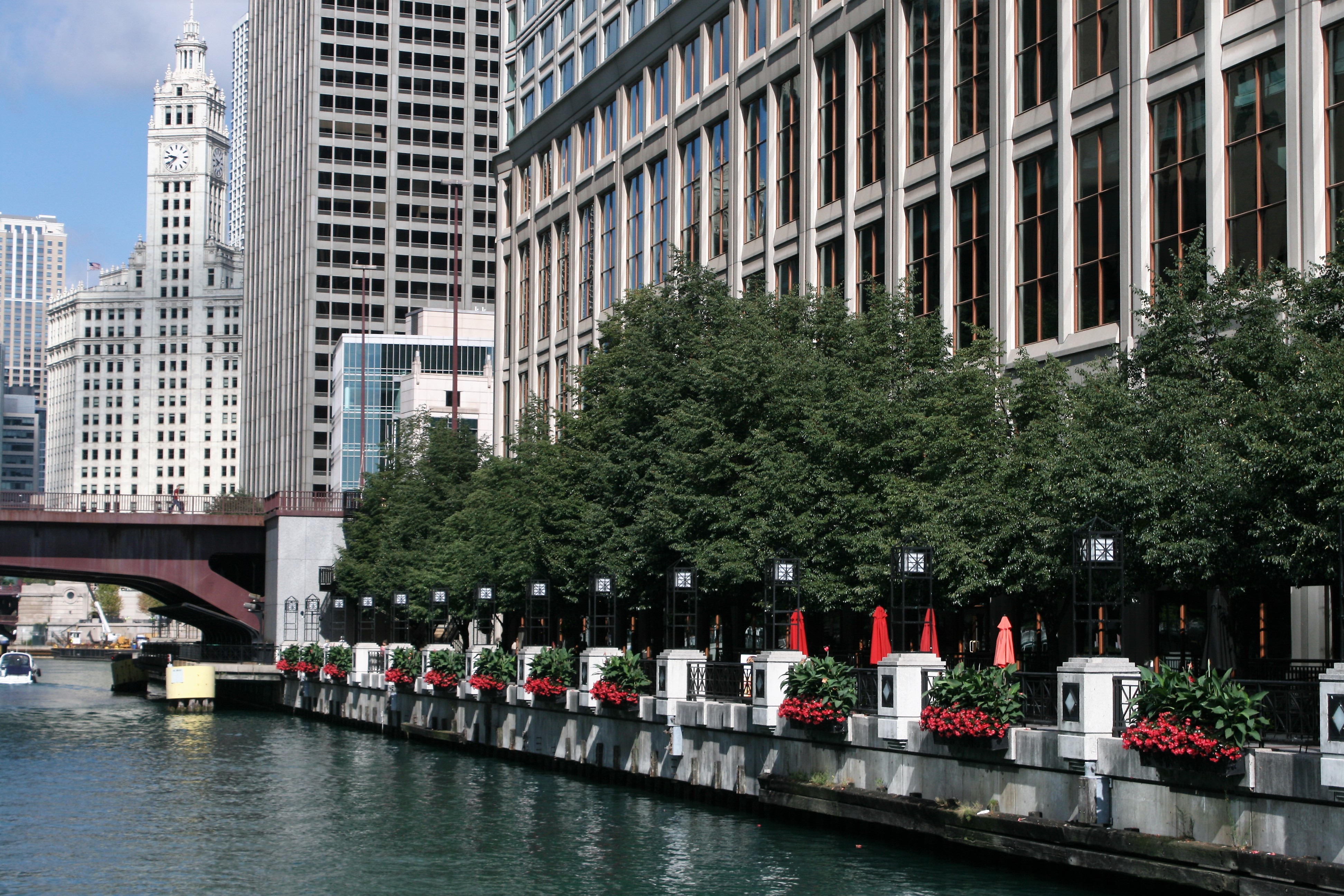
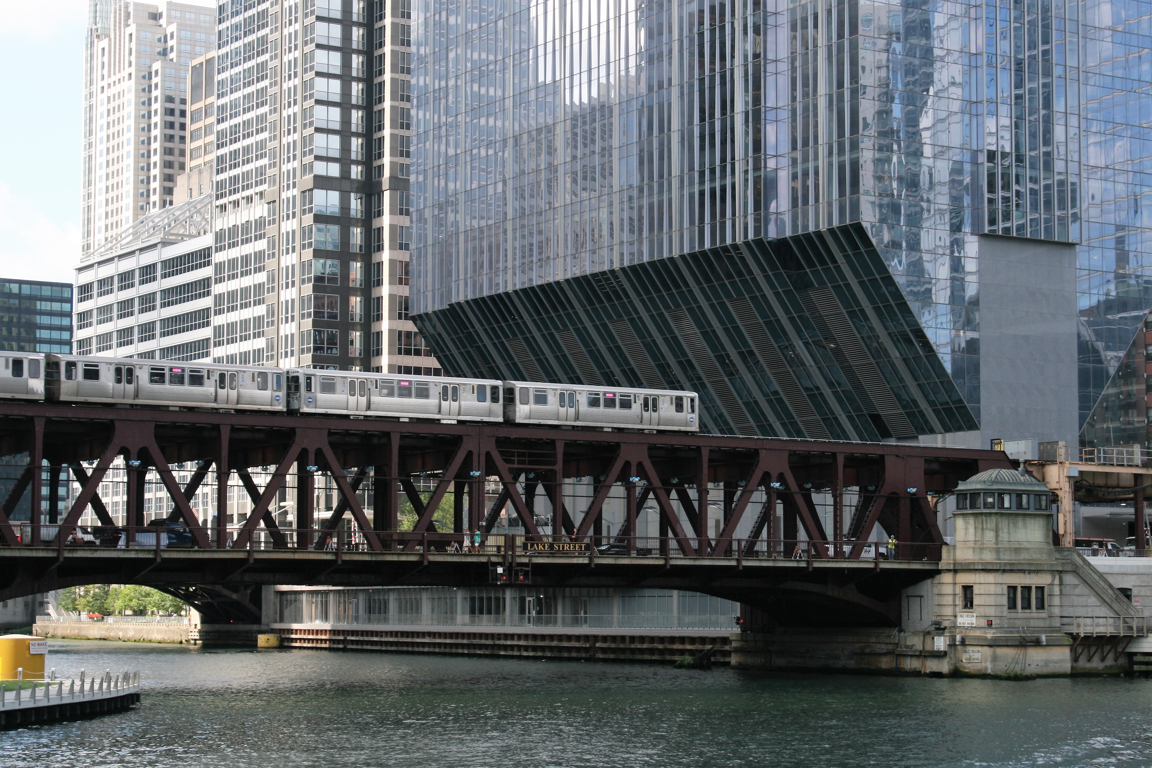
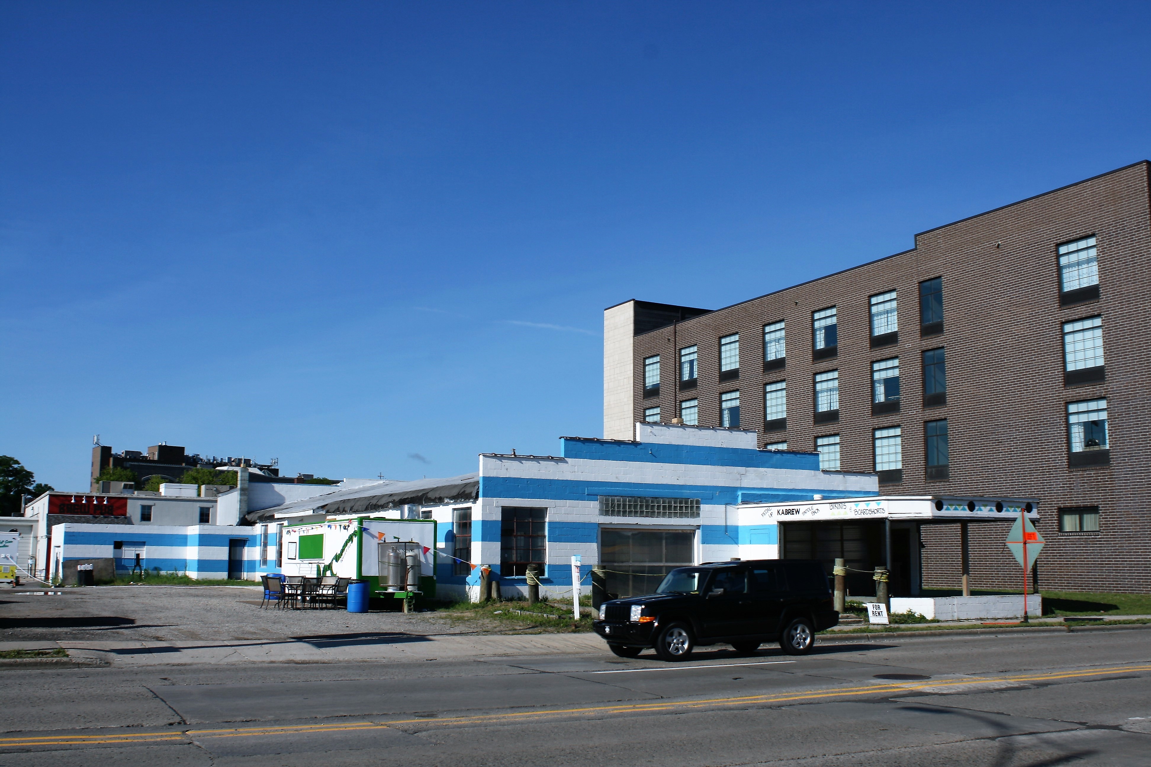
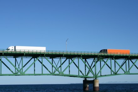
It wasn’t long before we left the glitzy high-rise and passed through the outer industrial areas.
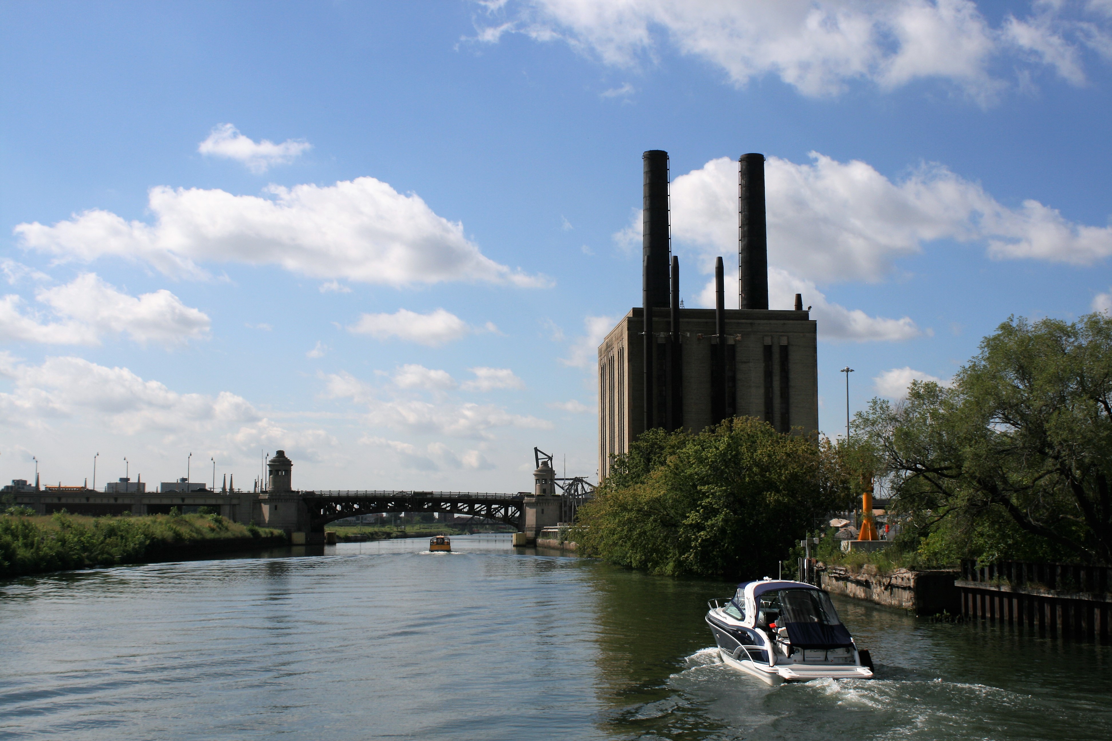

Amtrak Railroad Lift Bridge
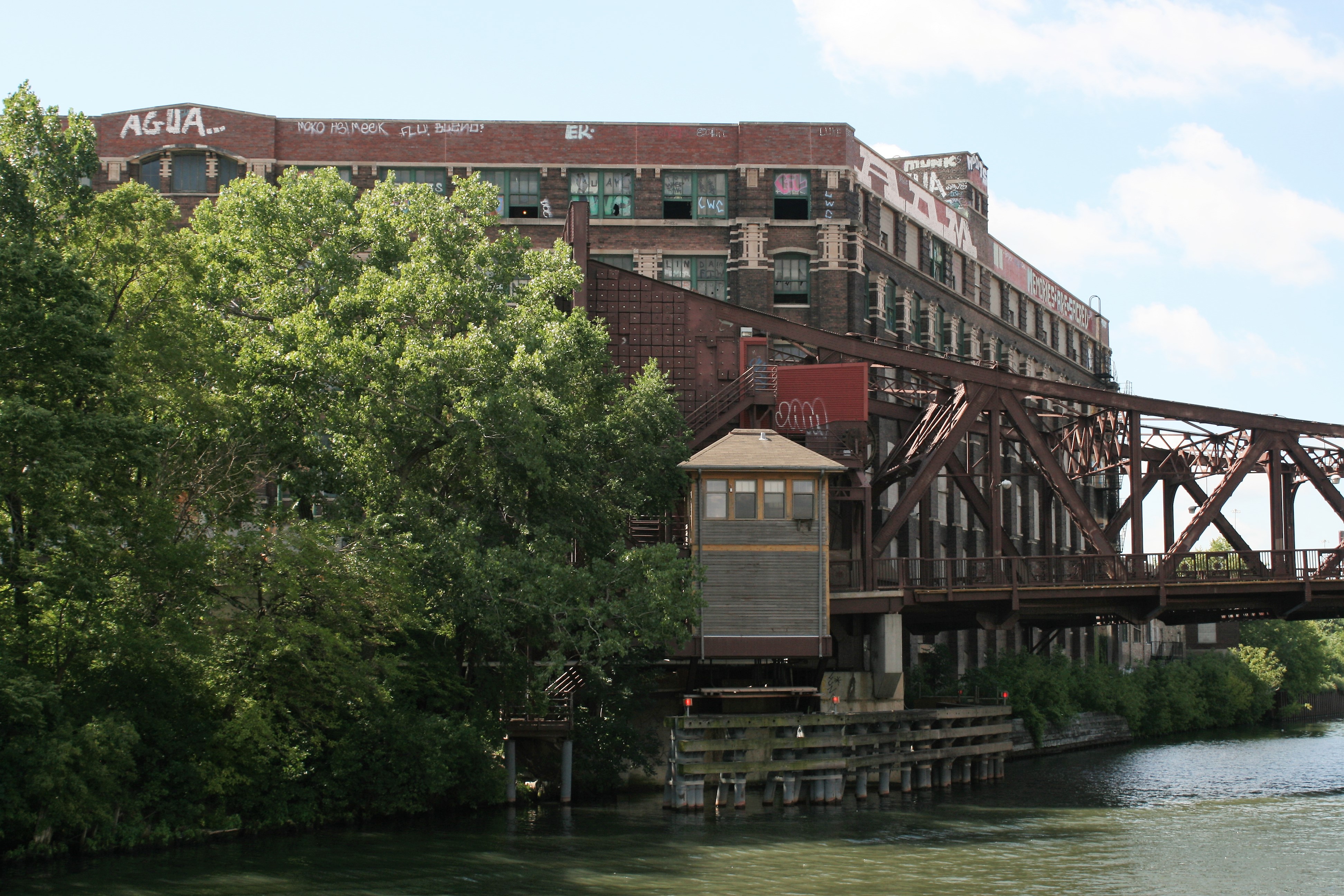
Graffiti
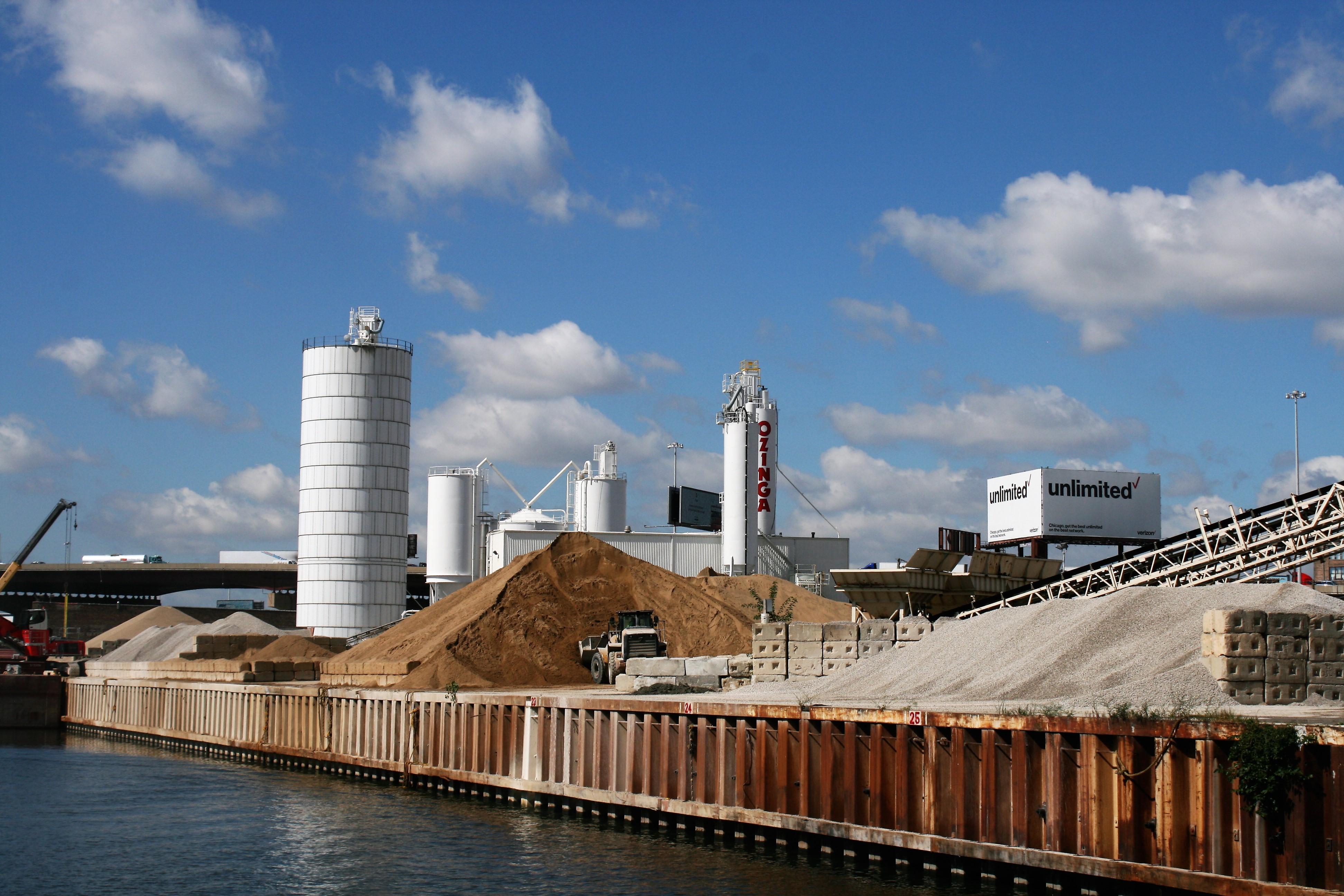
Sand and gravel
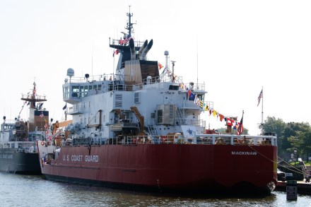
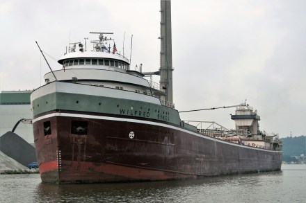
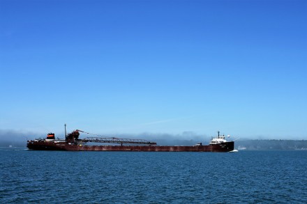
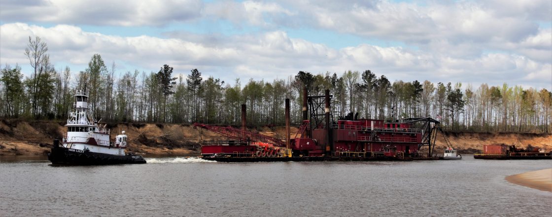
We were completely unprepared for the size of the industrial barges, which are a frequent sight. There was no doubt about who had right of way. How the captains actually steer the things remained a mystery.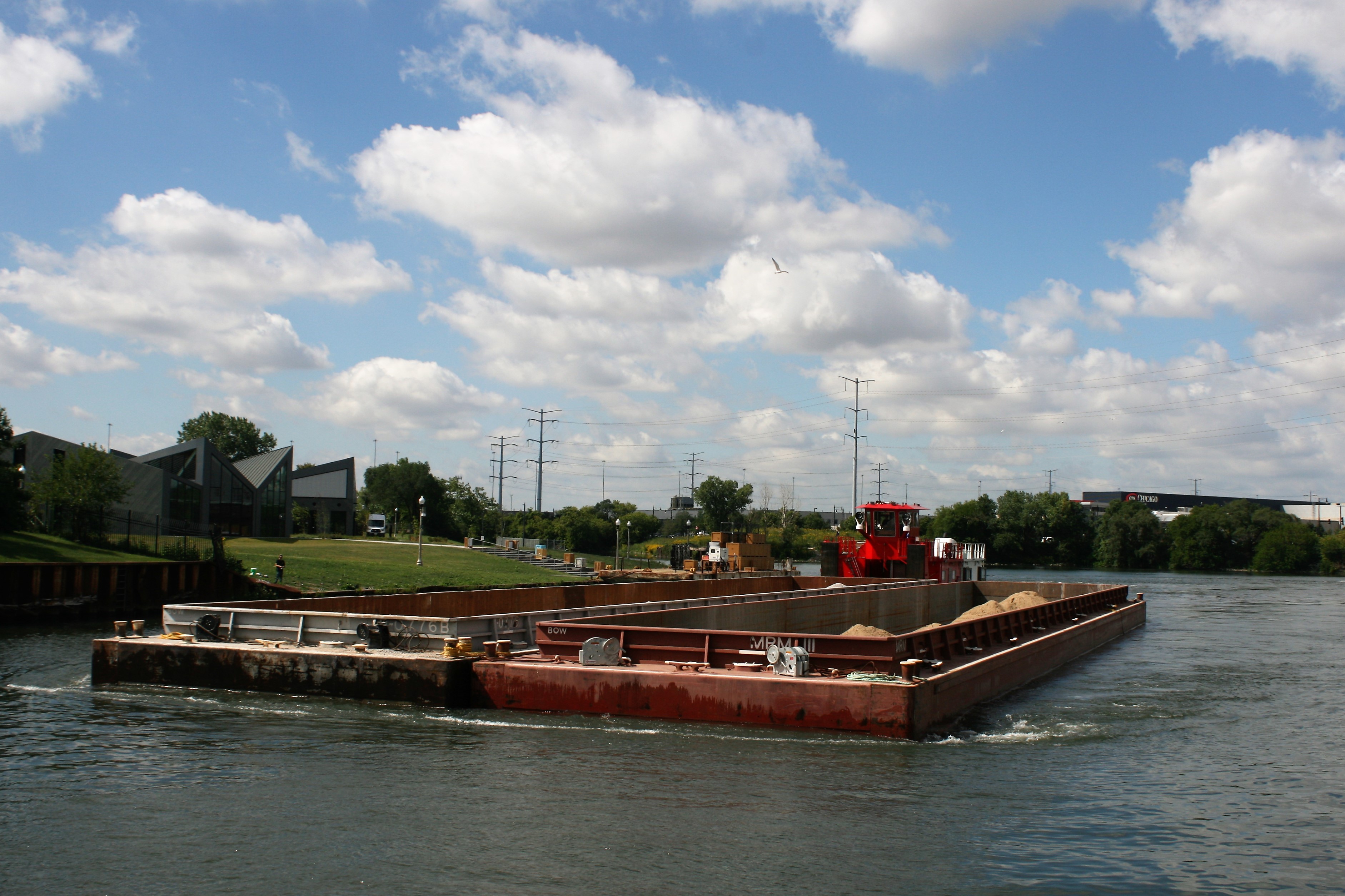 Barge
Barge
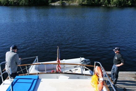
Handling the boat in the locks wasn’t a problem. There are large bollards which move down as the boat goes down, and it was easy to just place the midline around it. But pleasure craft play second fiddle to all the commercial boats and we had lengthy waits in places.

Lockport Lock
Lockport Lock was built in 1910 to control the flow of water from Lake Michigan and the Sanitary & Ship Canal into the Des Plaines River.
At one point, not far from Joliet where we planned to tie up, we heard a coastguard announcement over the radio to the effect that a fish barrier was in operation, and the river would be closed for three hours, until 6 o’clock. The fish barrier passes electric current through the water and repels the fish, and prevents Asian Carp from getting into Lake Michigan. We had no choice but to tie up against a high, rough concrete wall, and lassoing the cleat was certainly more of a challenge than managing the bollards in the locks.
In the event, we didn’t have to wait till 6 o’clock before they let us go through, and got to Joliet well before dark. A fellow-boater called Don helped us tie up on the town dock wall, where there was even free electricity.
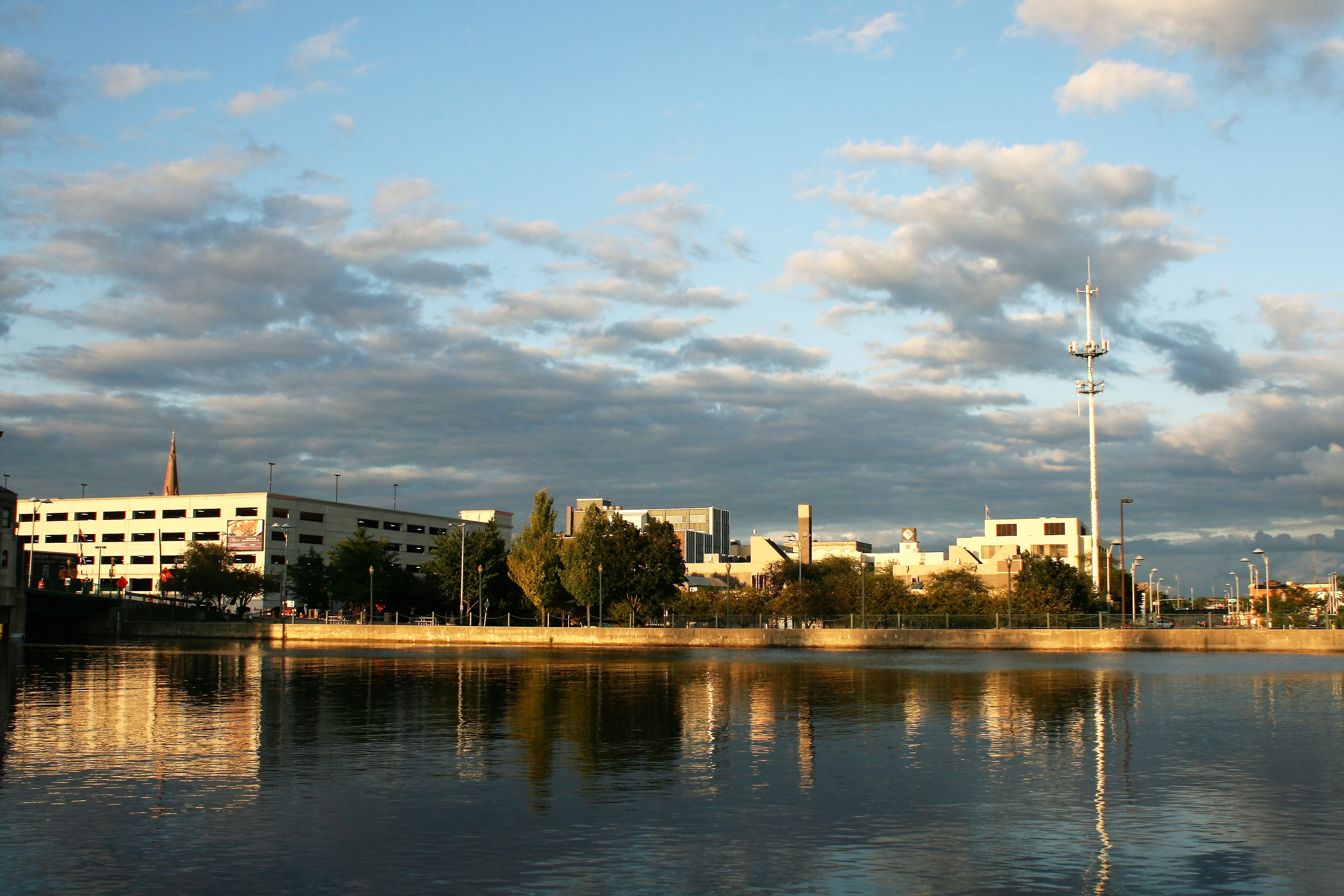
Evening sun, Joliet
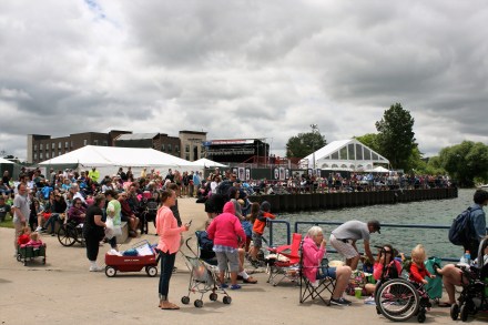
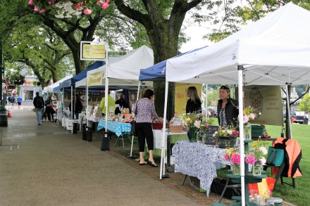
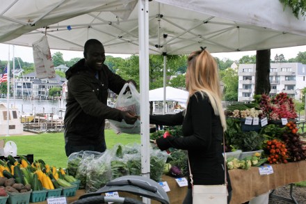
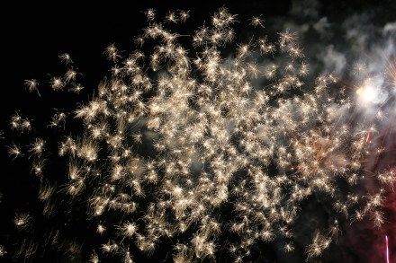
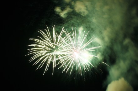
Don said we should stay another day, because the next night there was going to be a concert in the park, followed by a firework display. We ‘d had three hard days of travel since leaving St Joseph, so we didn’t need a lot of persuading to have a break. The following afternoon, we thought we would have a look at Joliet downtown, across the bridge from the mooring. Although there were lots of people driving round in cars, there was no-one actually walking on the streets. The absence of other people was slightly unnerving, and as there was an absence of coffee shops as well, we turned round and had a cup of tea and a cookie on the boat instead.
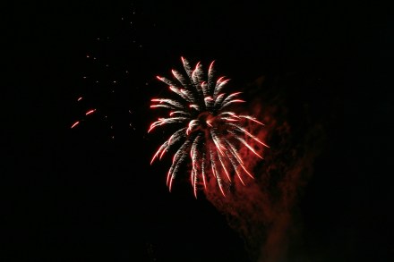
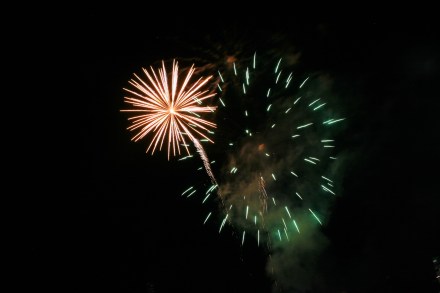
People did come out for the fireworks though, setting out chairs in the riverside park next to the dock. We had a great view from the boat.

Fireworks at Joliet
South of Joliet, the Des Plaines River meets the Kankakee River to form the Illinois River, widening out and running alongside a series of lakes. There were still locks to contend with.
Brandon Lock
McKinley Island Des Plaines River
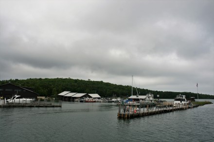
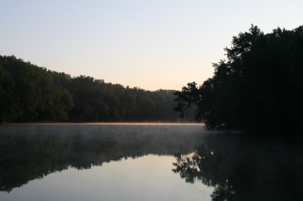
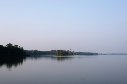
After a few nights in marinas and on the town wall at Joliet, it was time for a quiet anchorage at Sugar Island.

Evening at the anchorage at Sugar Island
The next morning I woke up very early and took a few more photographs.

Early morning Sugar Island

A few minutes later
Looking north, a fine shaft of sunlight gradually lit up the water.
Early Morning Sugar Island
Our next stop was Ottawa, but a few miles before we got there we had to negotiate Marseilles Lock. This was not difficult in itself, but a very large barge travelling north had got there before us. There were so many barges linked together that it couldn’t all fit into the lock at the same time. So half of it came up first, and waited at the top of the lock. The sensible thing would have been for the lockmaster to tell the barges to move forward enough to let the pleasure craft get into the lock and go down, while it was being emptied. But he didn’t, and left us, and several other boats, waiting in the pound while the lock emptied and the rest of the barge came up. Having initially been told our wait would be 20 minutes, we actually waited over two hours.
Waiting at Marseilles Lock with the barges blocking our access
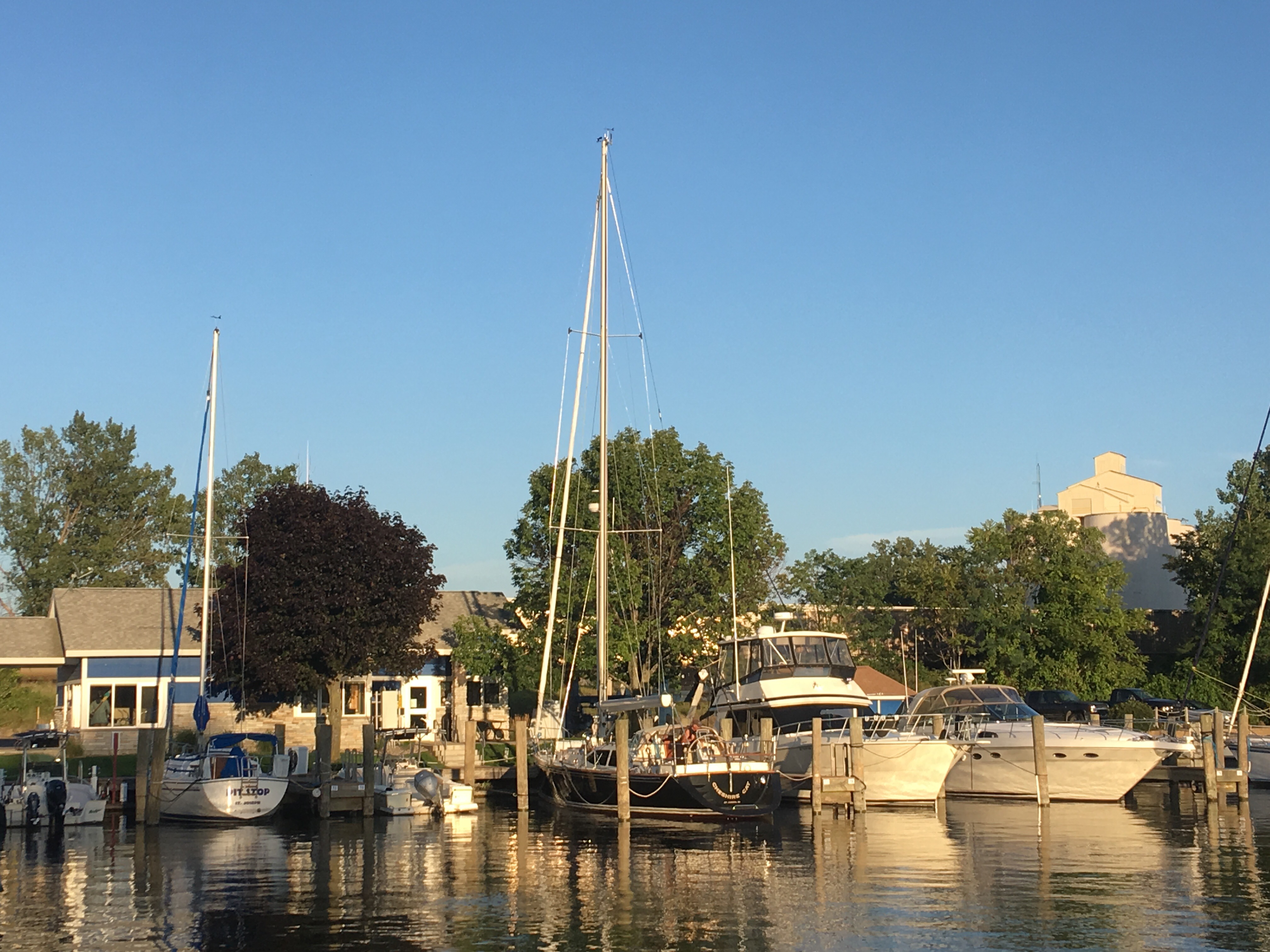
But Heritage Harbor Marina at Ottawa was very nice. Jeremy, the harbor master, was helpful and friendly, we used the courtesy car to go to the laundromat and do the shopping, and then we had a swim in the pool. Then we had a nice meal at the Red Dog Grille, in the marina grounds. On the way back to the boat we chatted to Frank, one of the local boat owners. He commiserated over our experience with Marseilles Lock, which is apparently notorious.

Leaving Heritage Harbor Ottawa
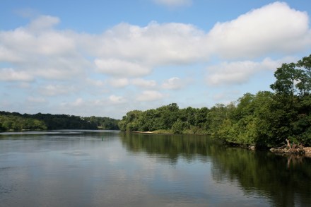
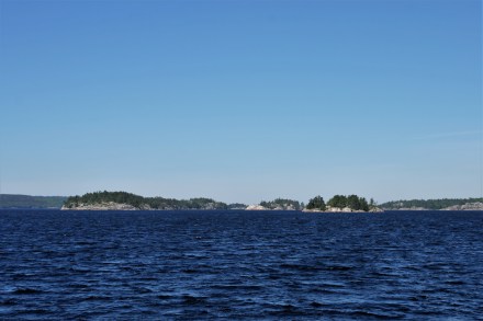
Illinois River near Ottawa
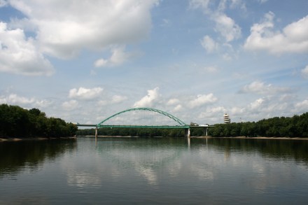
Abraham Lincoln Memorial Bridge, Jonesville
There was still some industry here and there.

Barge being unloaded at Hennepin Power Station
Our last night before reaching Peoria was at Henry Island. We had decided by this time we would fly to Virginia from Chicago to see the family again, and needed good wifi to book the tickets. We had to find a cafe where we could avail ourselves. The only place that seemed suitable was Hennepin, where apparently there was a wall where you could tie up. The only snag was that having tied up, it was quite a step up to the top of the wall, and then you had to scale a two-bar metal fence with very unfavourable curvature, to access the town. Spratt’s Tap was the first establishment we came to, and I felt after my fence-climbing efforts I needed and deserved a beer, though Ian stuck to lemonade. For some reason the laptop wouldn’t connect to the guest wifi, and after a very frustrating and stressful hour spent trying to book the tickets on my phone, Ian had to ask the owner if we could possibly use the private wifi. No problem, he said, another of the many kindnesses we have been shown on this trip.
Leaving Henry Island
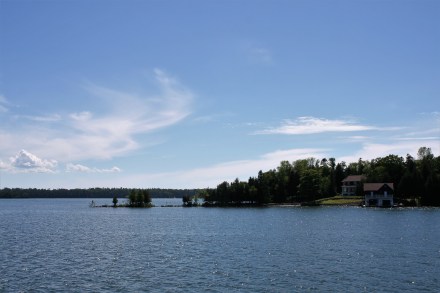
Henry Island was a beautiful place for our last anchorage. The next day we reached National Marine at Peoria and spent a day packing everything up before leaving for Chicago. We’ll be back in the spring of 2018 to continue our journey south on the rivers.