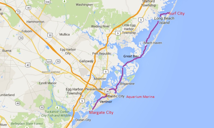
Margate City to Surf City
We were planning a night at anchor, some 30 miles from Margate City, but Carina had other ideas.
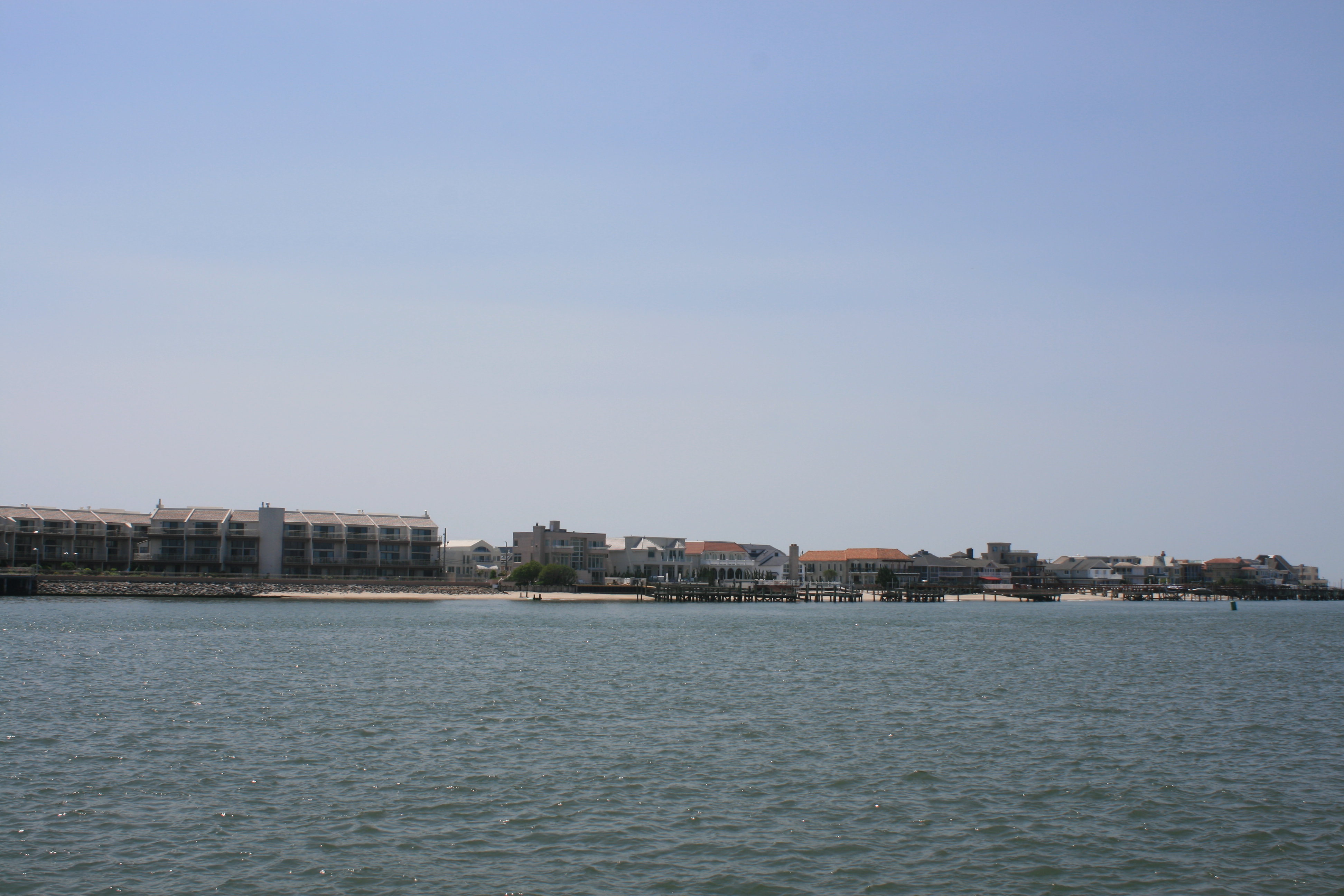
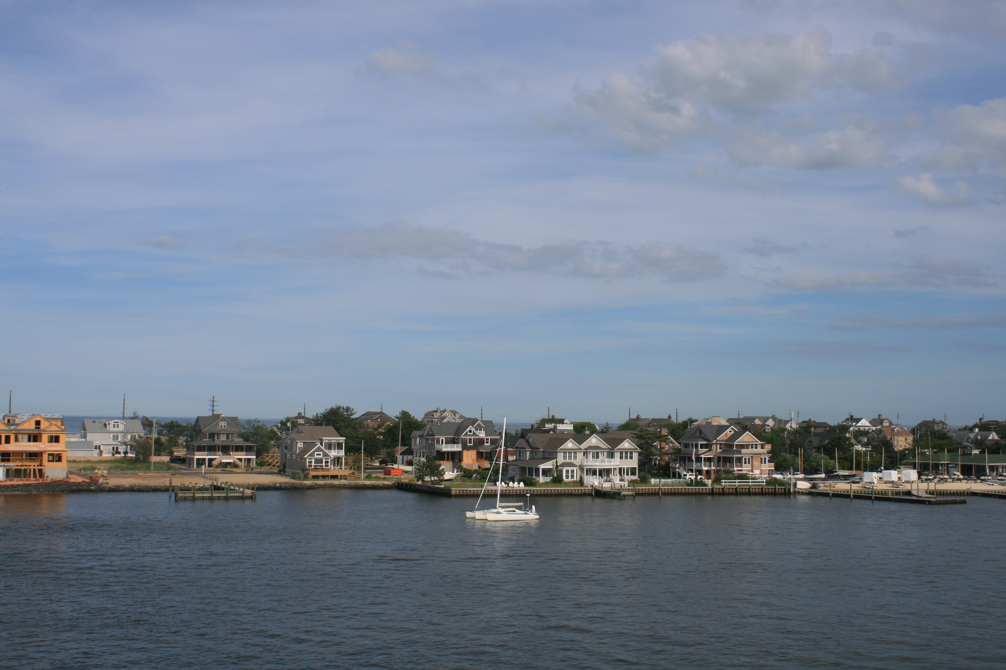
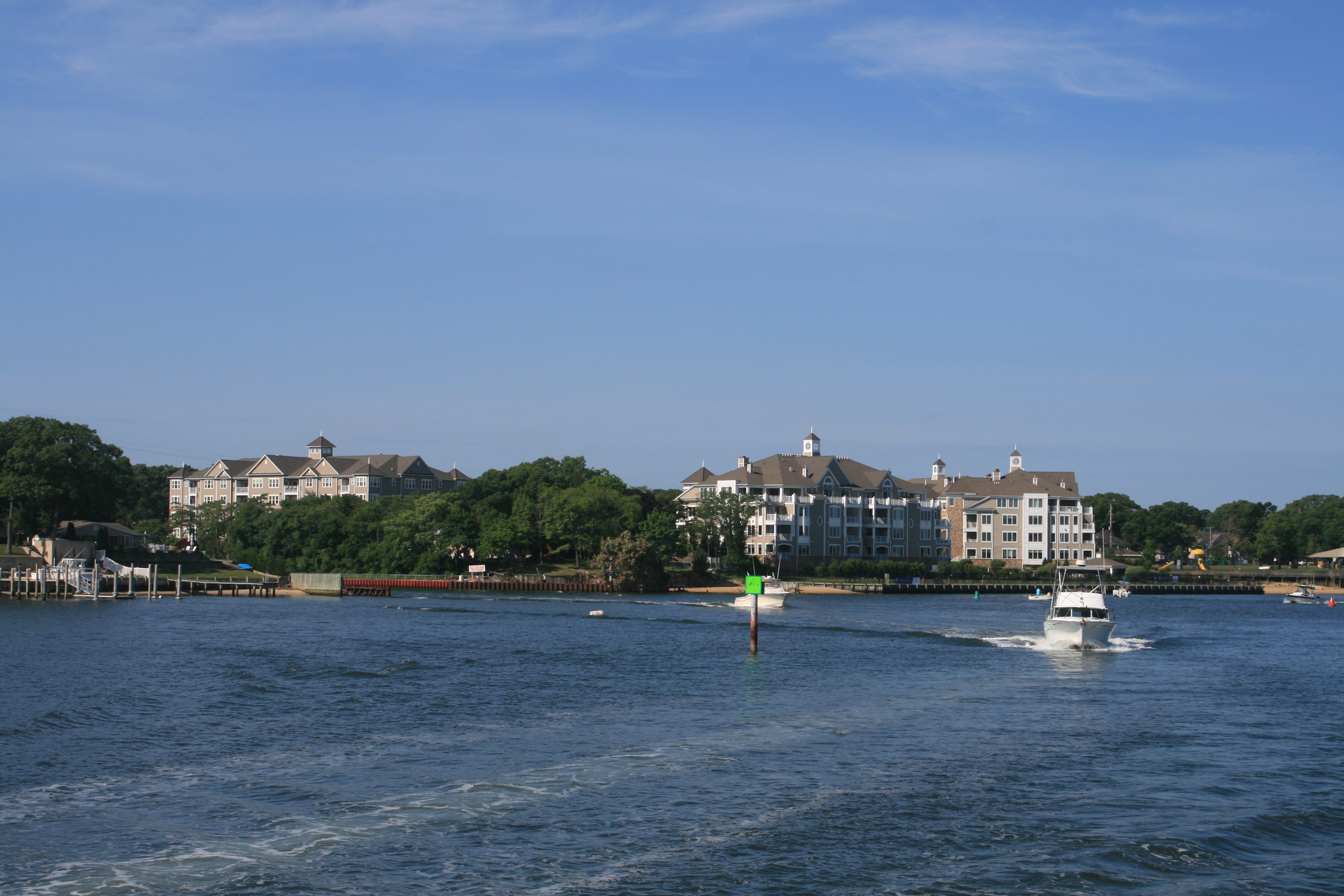
Leaving Margate City
The Barrier Islands of the Jersey Shore are mostly developed, making the wild places we’d seen further south, in North and South Carolina and Georgia, seem all the more special in retrospect.
Margate City, showing the junction between fresh and salt water
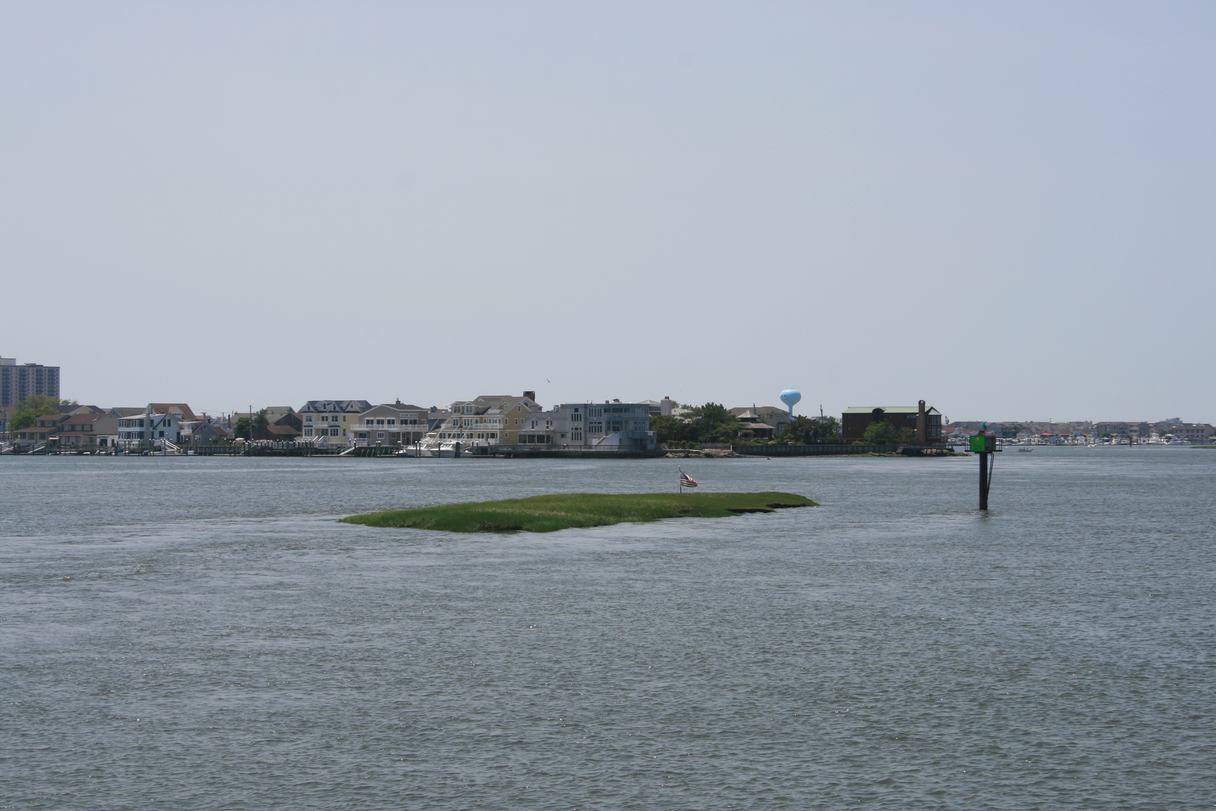
The American flag gets everywhere
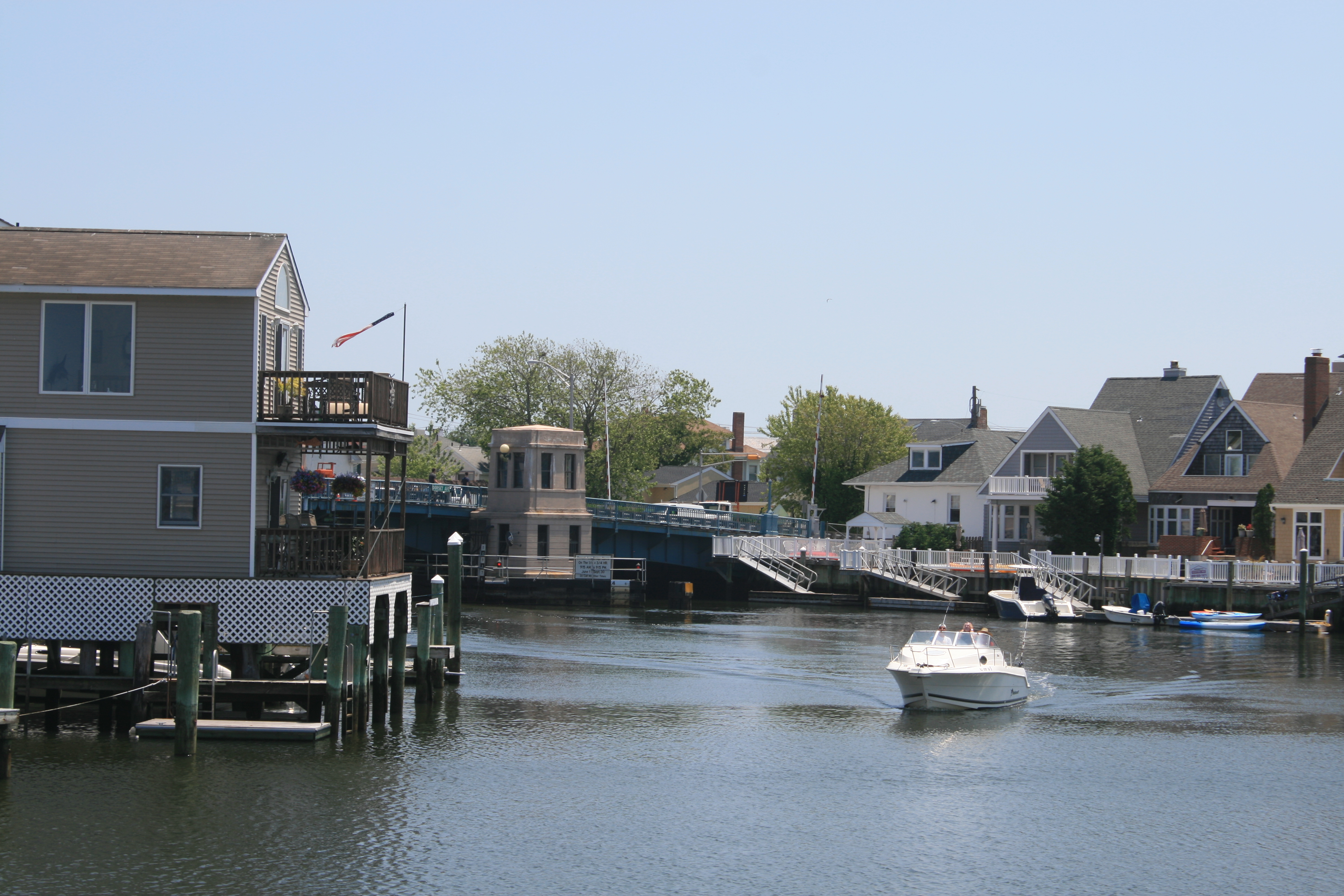
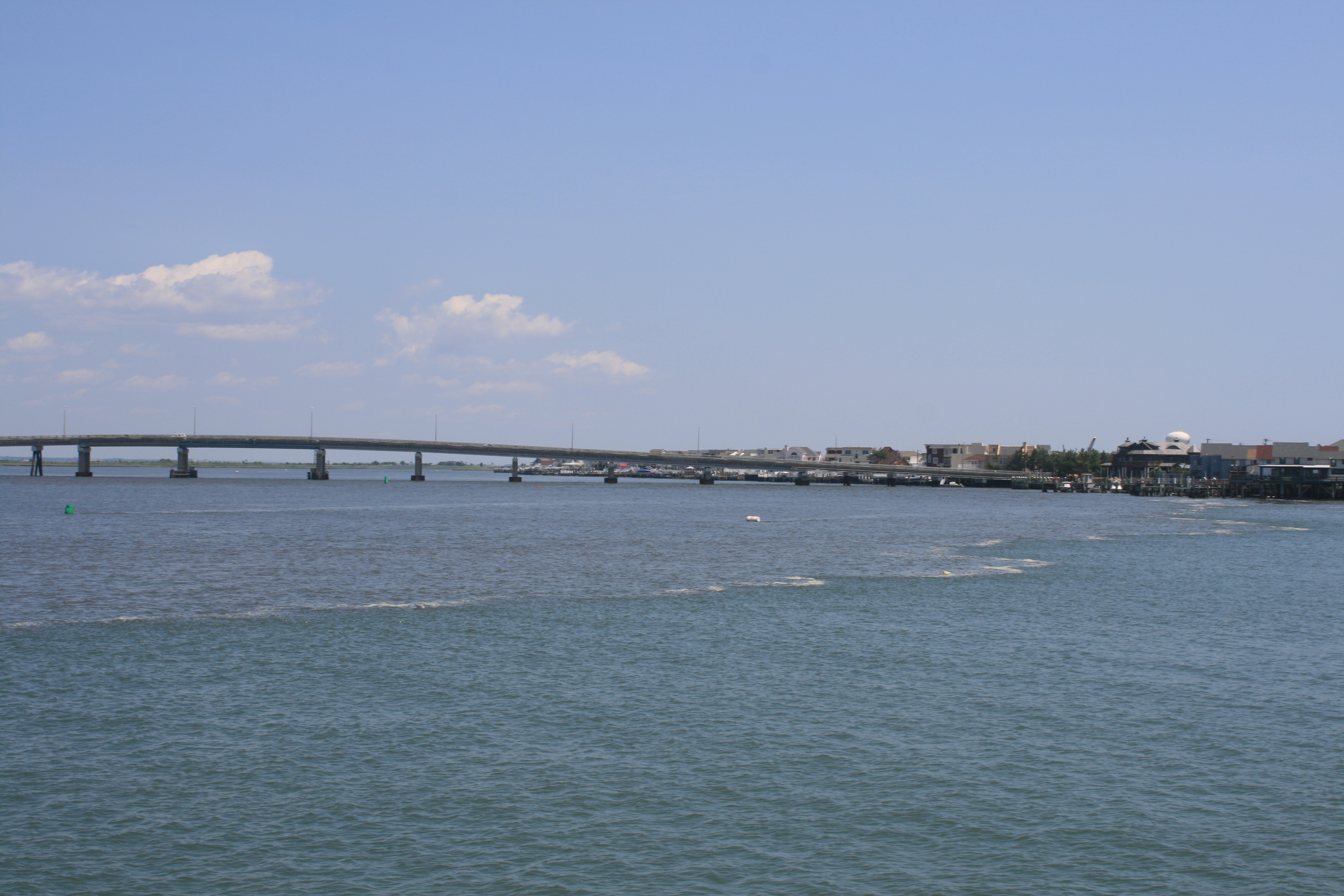
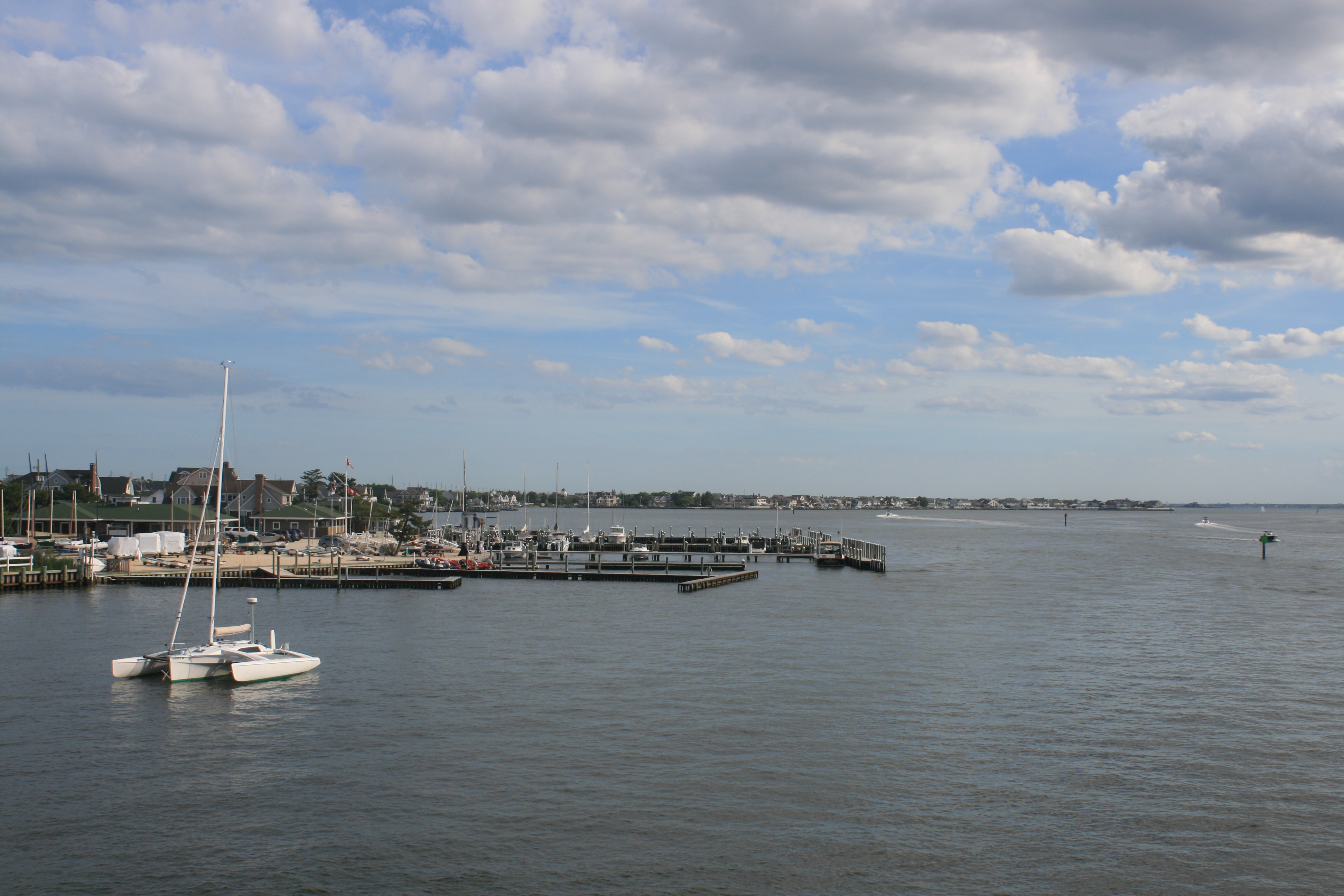
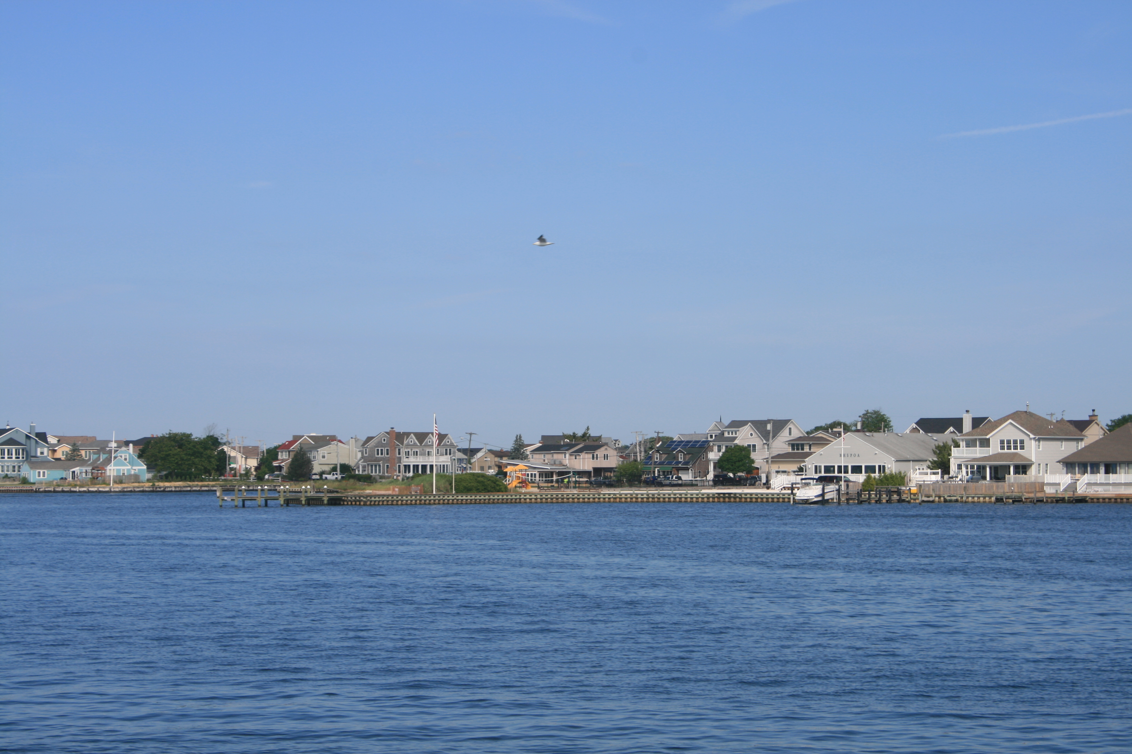
Ventnor
We had to request a bridge opening at Ventnor. Roadworks were being carried out, and the bridgemaster said he’d be able to open it sooner if we could manage with only half the bridge opened. The Captain thought we could, and Carina edged smoothly through, to applause from the assembled workmen and cries of ‘Nice job! Nice job!’
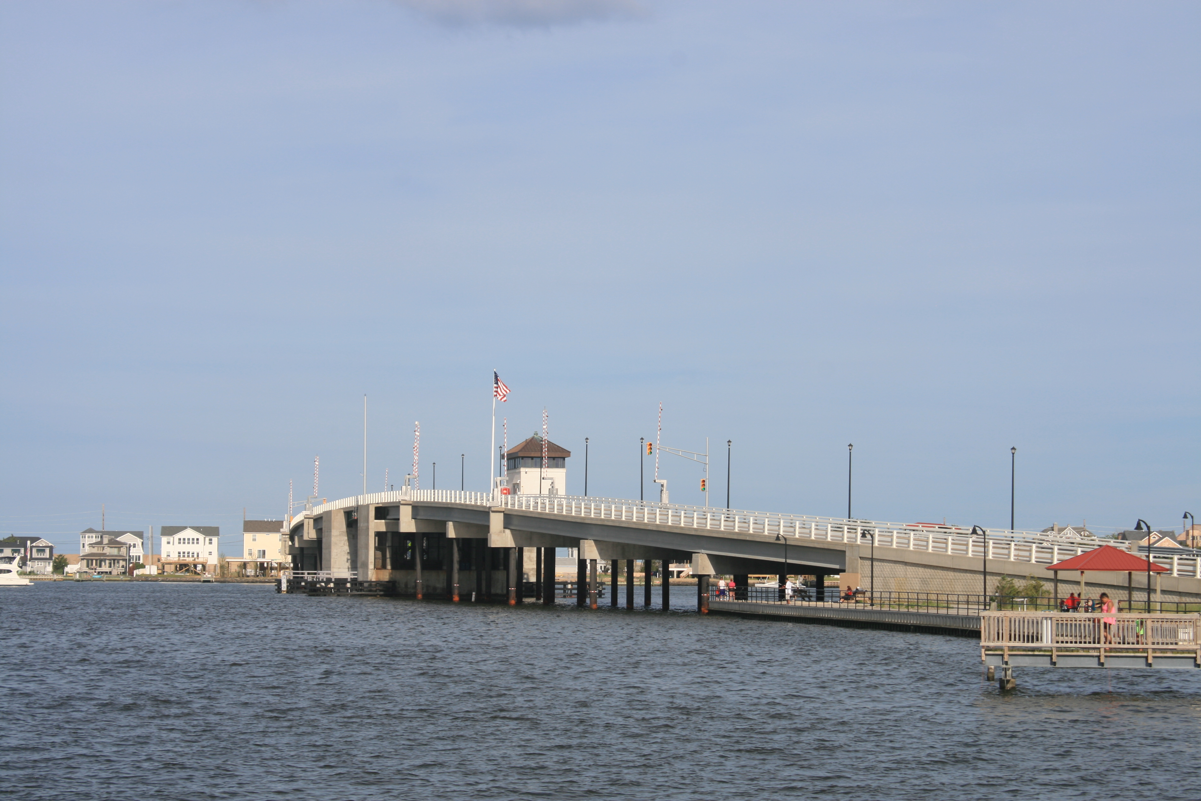
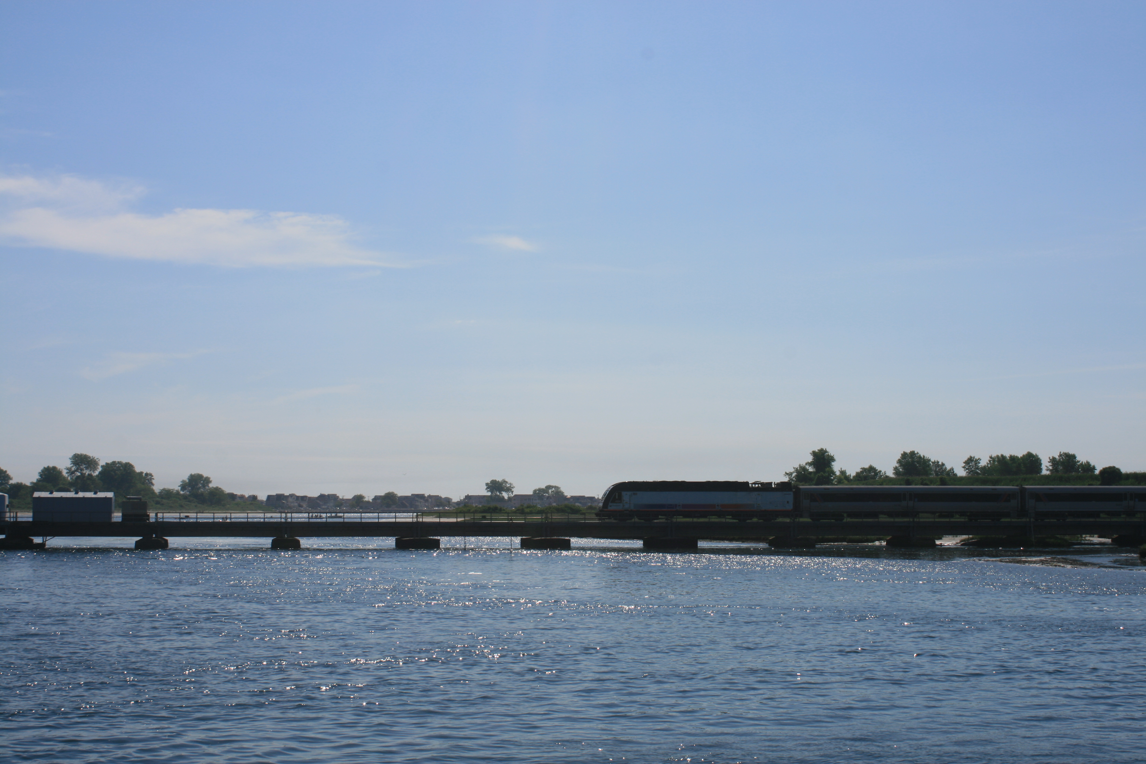
Dorset Avenue Bridge, Ventnor
Shortly after passing through Ventnor, we could no longer ignore Carina’s temperature gauge, which for the past few days had been giving ’cause for concern’, and two hours after leaving Margate, Ian decided he needed professional advice to avert disaster. So we made an unscheduled visit to Atlantic City and stayed at the Aquarium Marina, a not entirely restful stop, in view of the proximity of our mooring to the bar, and a constant stream of reggae music.
Near Atlantic City
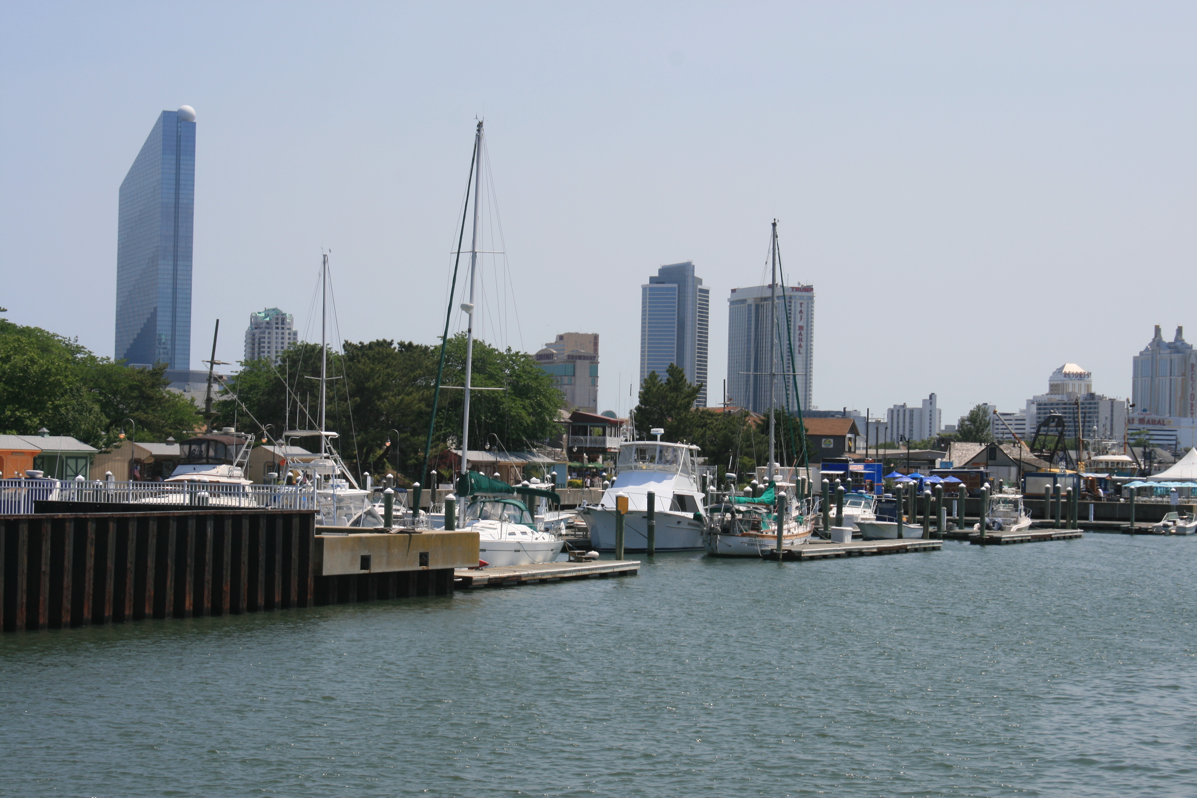
Aquarium Marina, Atlantic City
Ian rang Brian Smith, of American Diesel, who gave him some very useful suggestions of what the problem might be, and possible remedies. Ian did various mysterious things in the engine room and the next day we took Carina out for a test run. Fortunately all seemed well, and after a quick trip on the bikes to the Cedar Grocery Store and the nearby Allstar Liquors for the essentials, we moved on to Surf City where we anchored for the night.
But there were still great wide sounds where all the development receded into the far distance, and the land surrounding them preserved from development. The water was very shallow in places, as seen here in Great Bay.
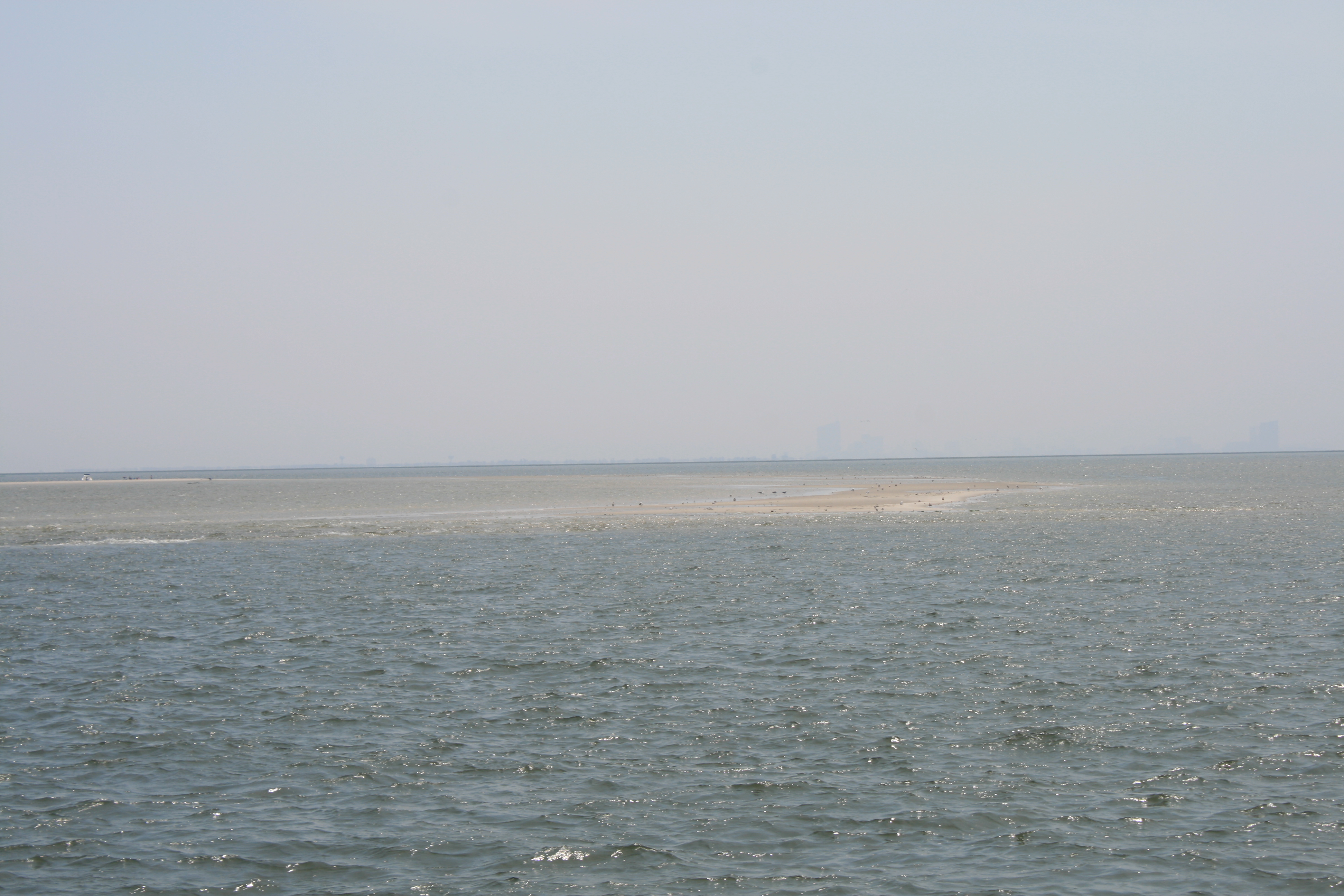
Shoaling in Great Bay
We somehow managed to wake up at 5am the next day so it was another early start, but this time the sunrise made it worth it.
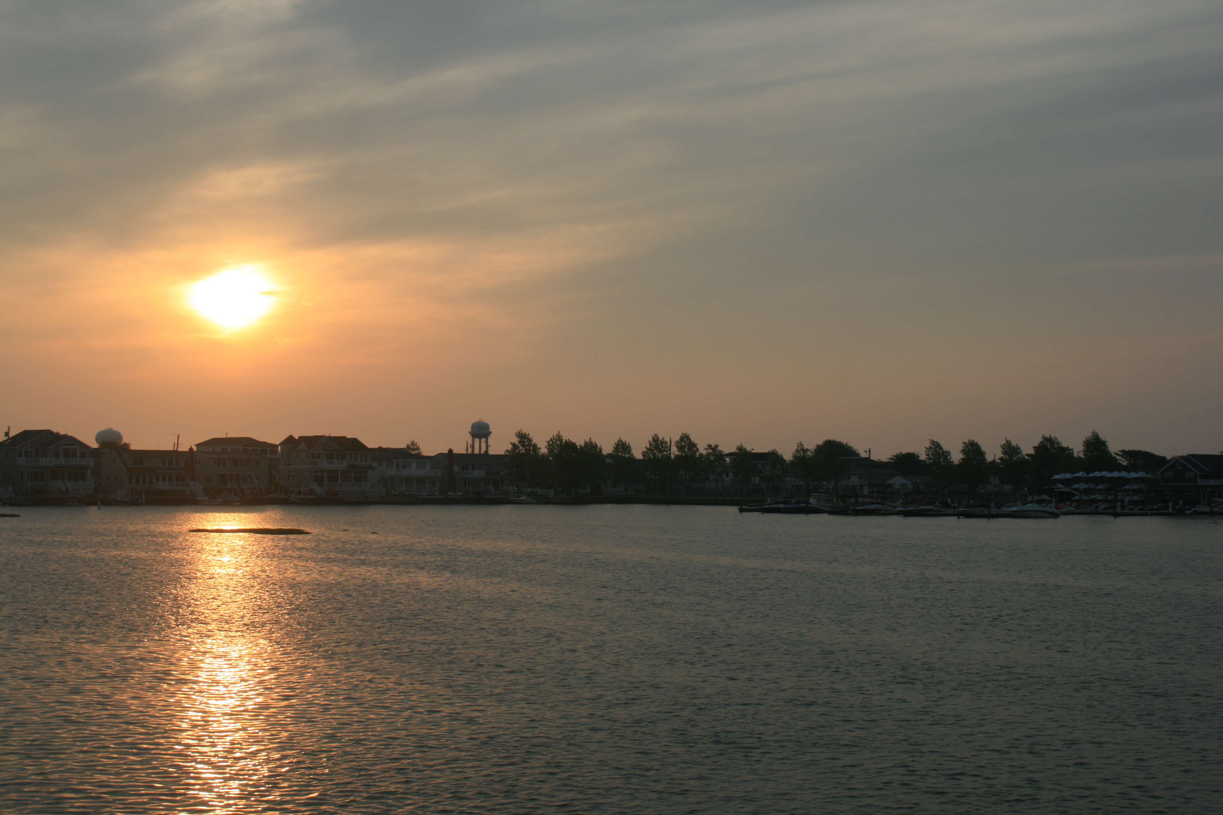
Surf City, 6.06 am
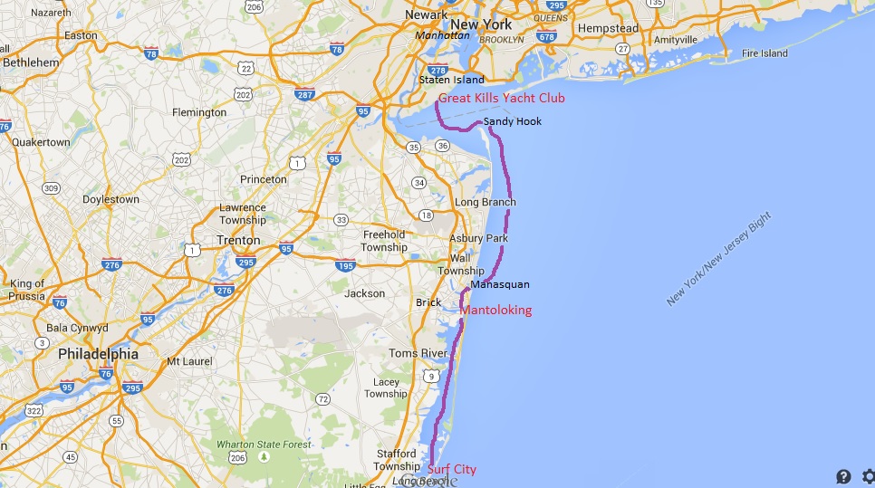
Surf City to Staten Island
From Surf City we travelled up the long inlet of Barnegat Bay up to Traders Cove Marina, Mantoloking. We got a warm welcome from the dockmaster there – the area had been devastated by Hurricane Sandy in 2012, and the marina was part of a new municipal park which had only recently re-opened.
We walked over Mantoloking Bridge to where the sea had broken through the shore and fifty homes had been lost. There were bulldozers on the beach area still working on shoring up the sand, and new houses being built.
Mantoloking from the bridge
The way we came – Barnegat Bay from Mantoloking Bridge

The beach, Mantoloking
Mantoloking Bridge
Carina at Traders Cove Marina, Mantoloking
Sunday was the big day – the weather had to be just right for the 30-mile stretch of open water we needed to negotiate from Manasquan to Sandy Hook, the long finger of land that stretches into Raritan Bay and New York Harbour.
It was, and we went.
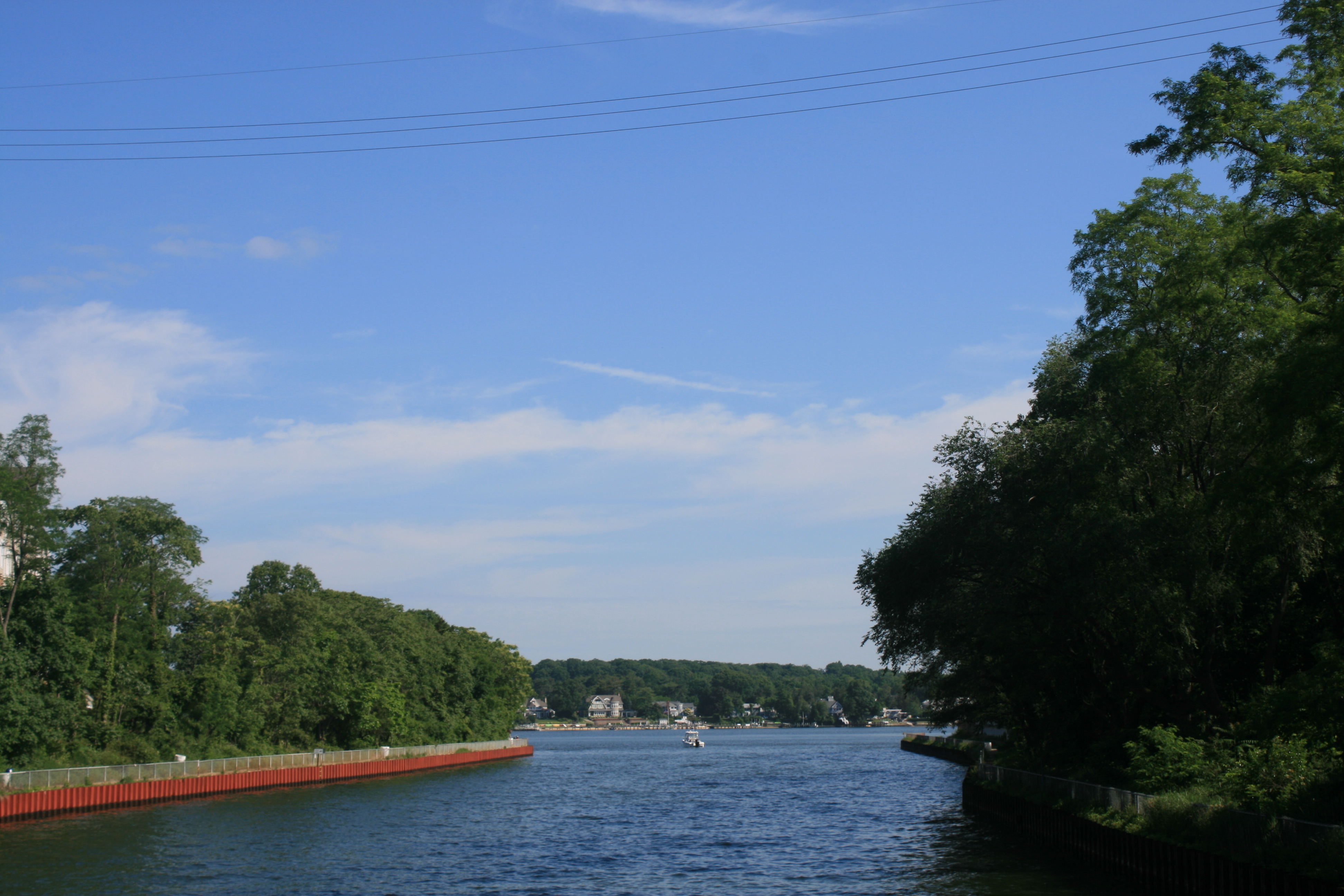
Metedonk River at the northern end of Barnegat Bay
There was a short waterway, the Point Pleasant canal, linking Barnegat Bay with Manasquan Inlet.
Loveland Town Bridge
Point Pleasant Canal
Manasquan River
Boats following us out of the canal
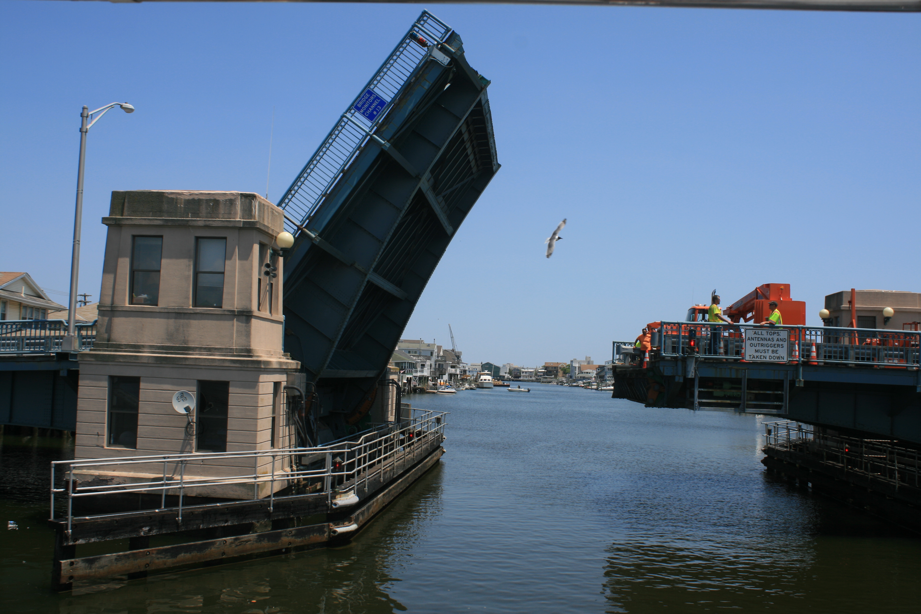
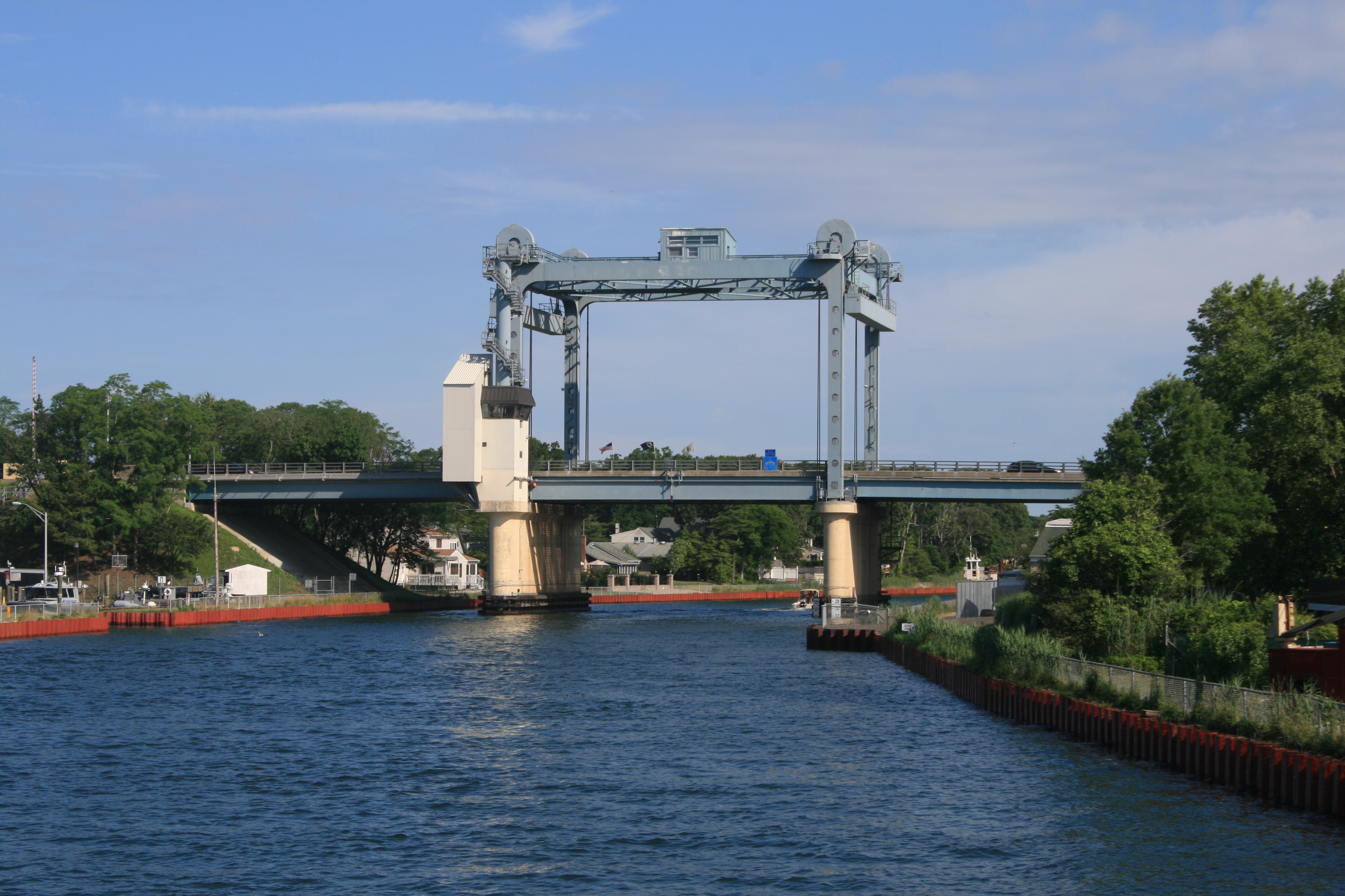
Manasquan Inlet Railroad Bridge
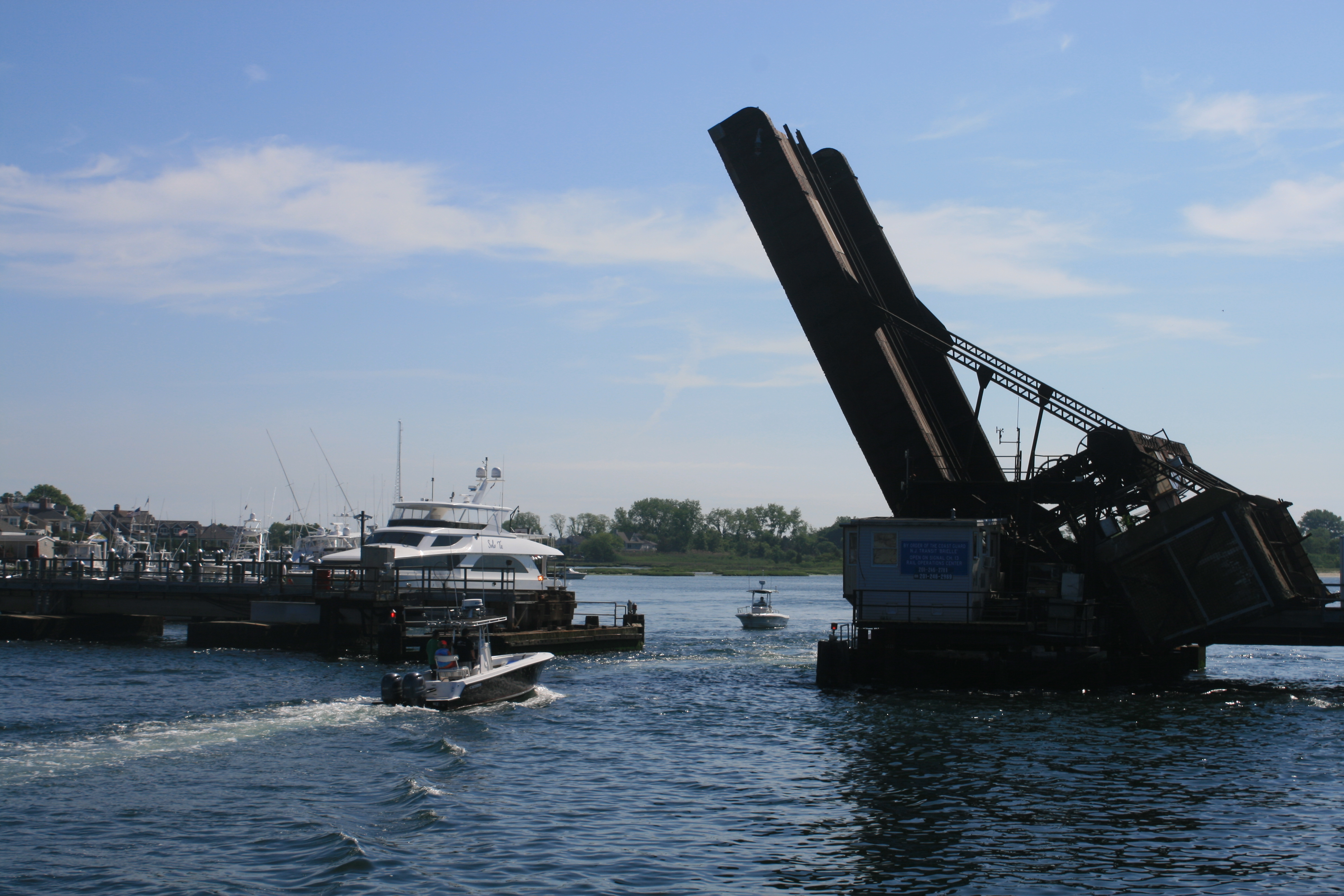
Opening the railroad bridge
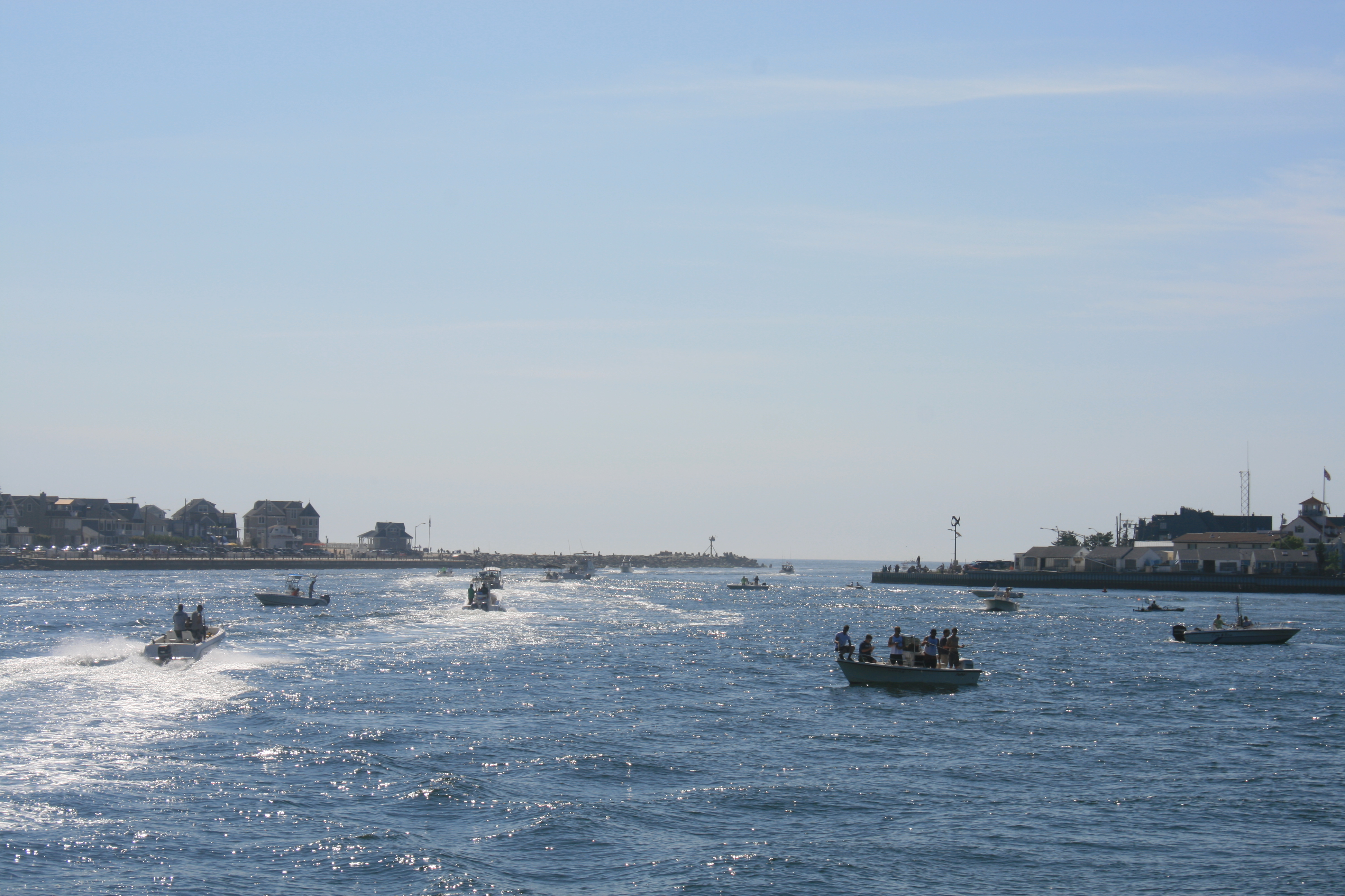
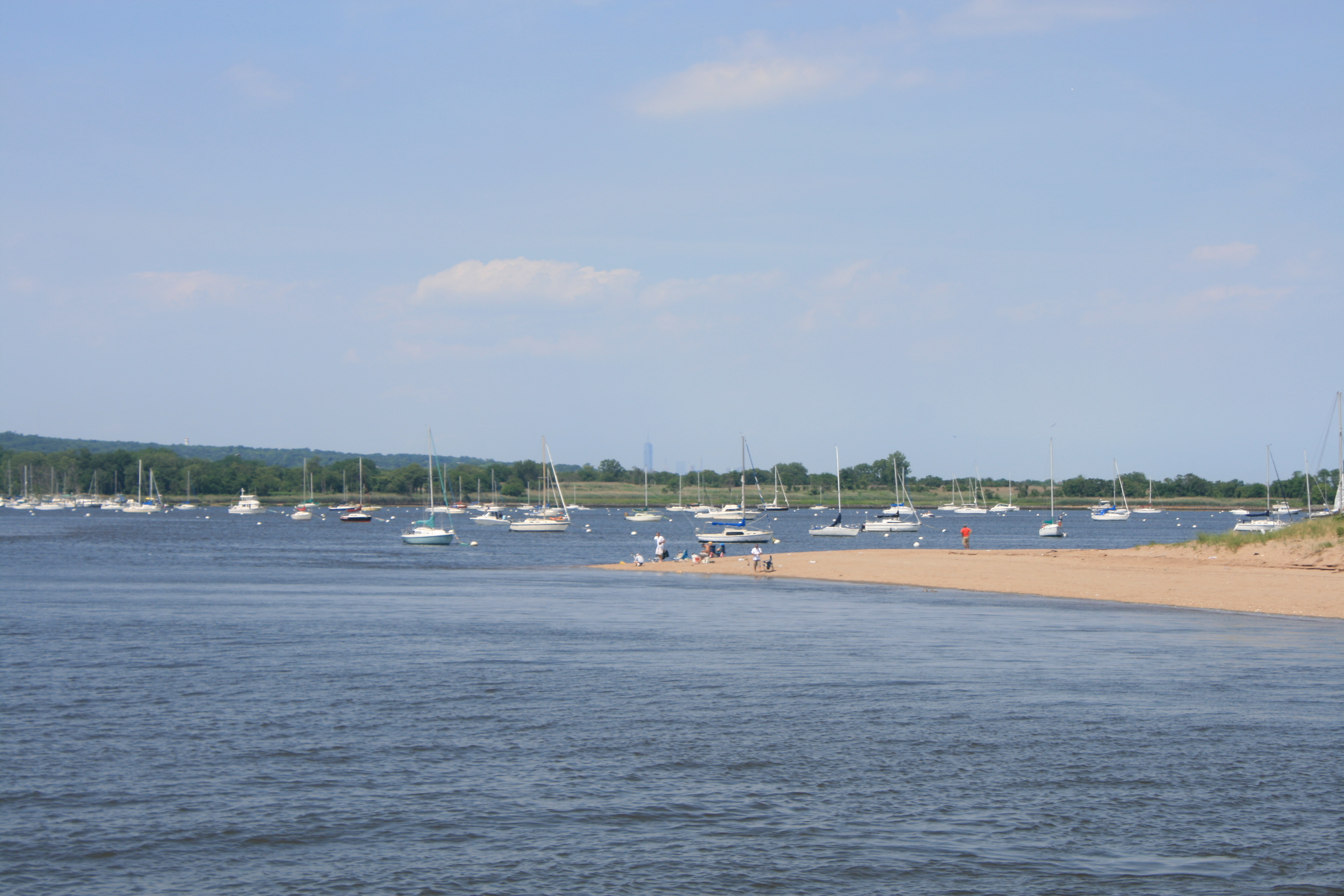
As it was a Sunday, there was a long queue of boats waiting to come through the bridge.
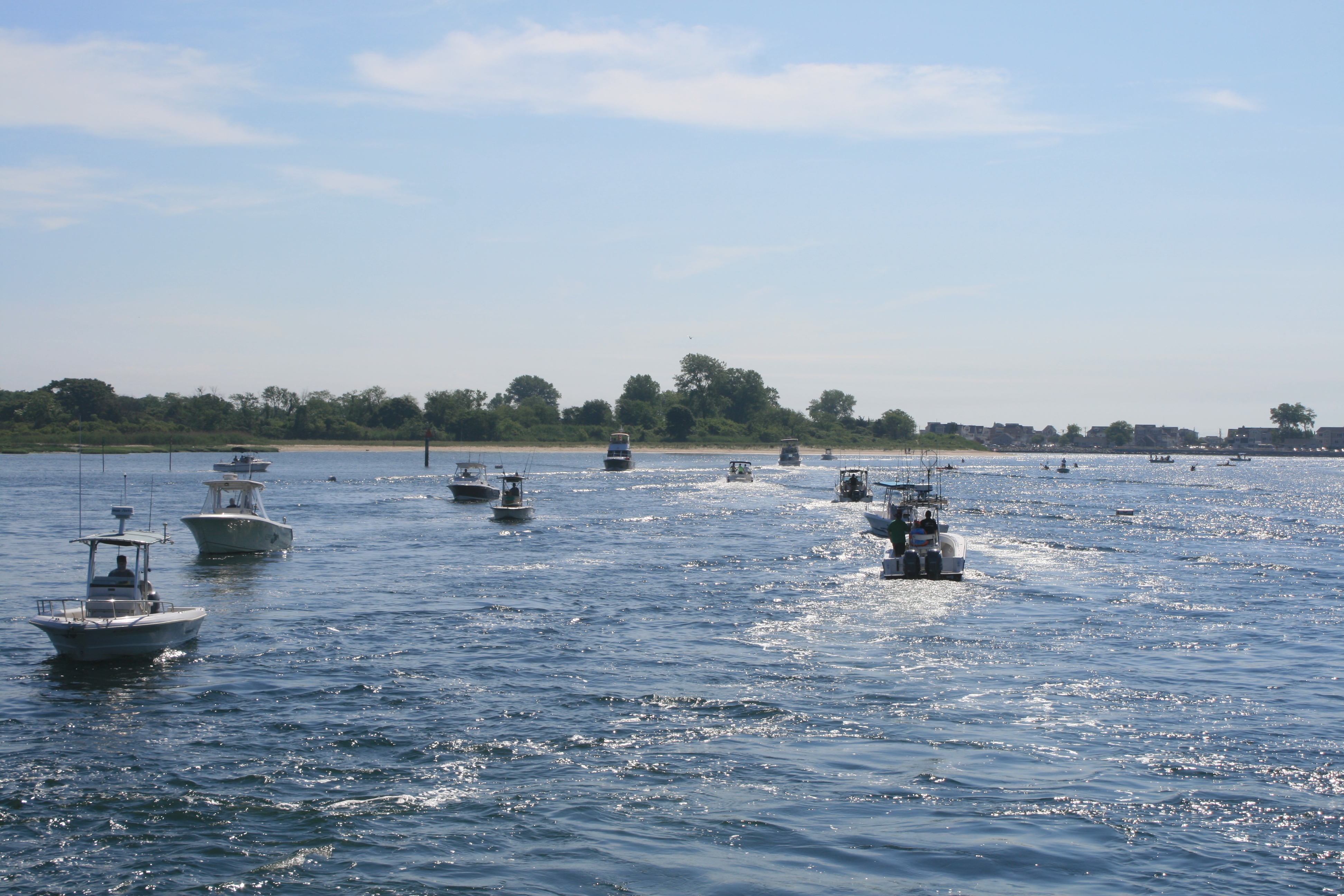
Waiting to come through the bridge
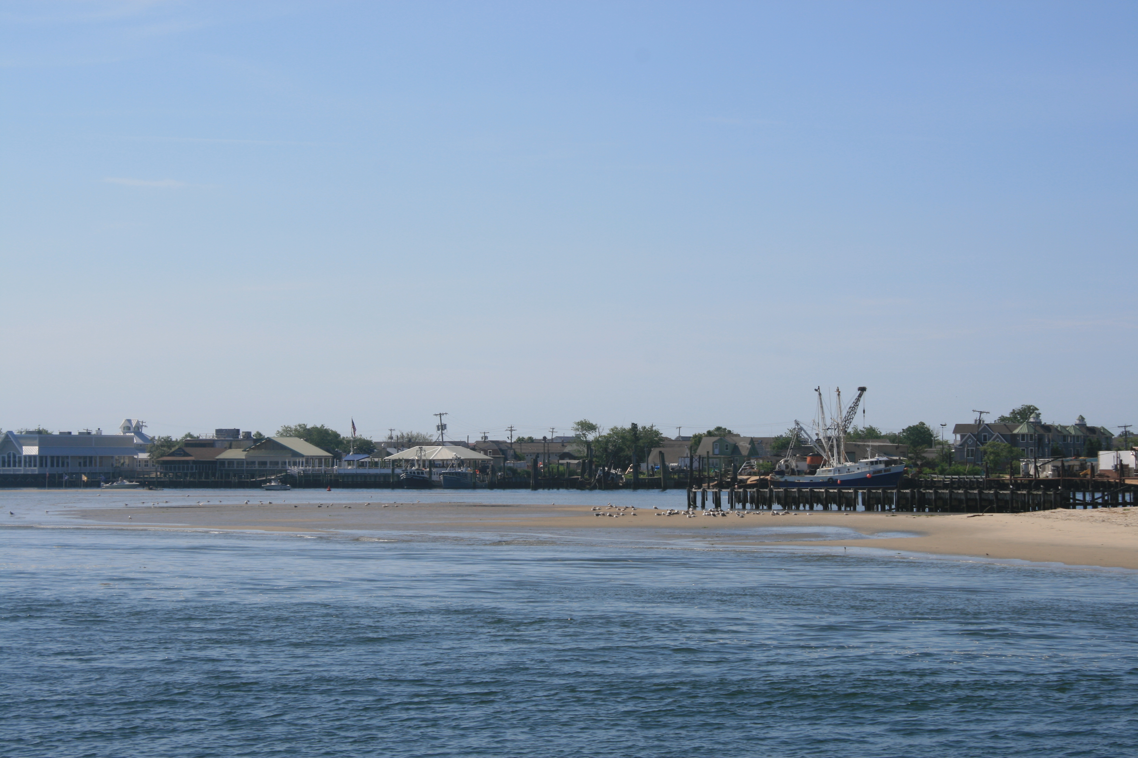
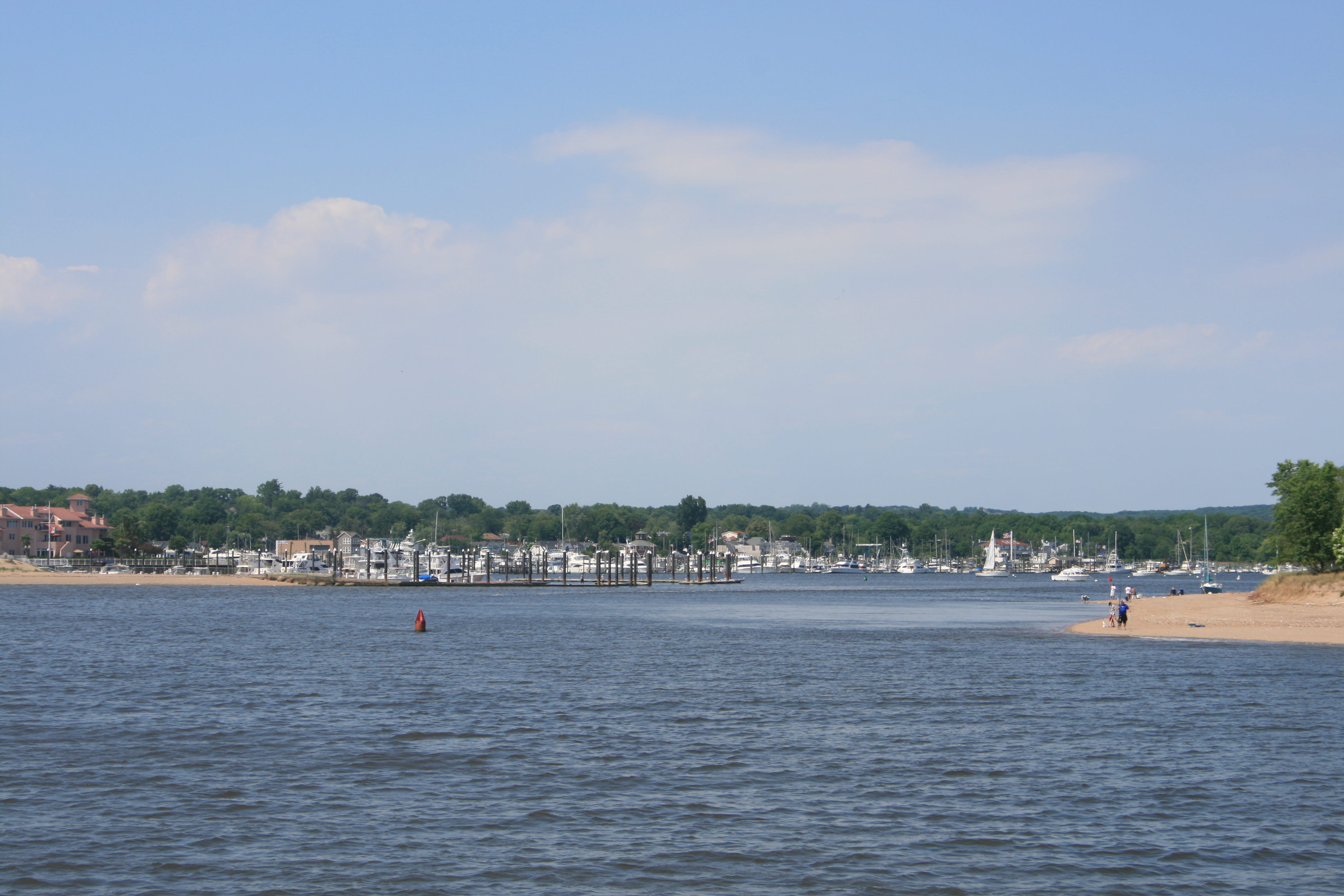
Manasquan
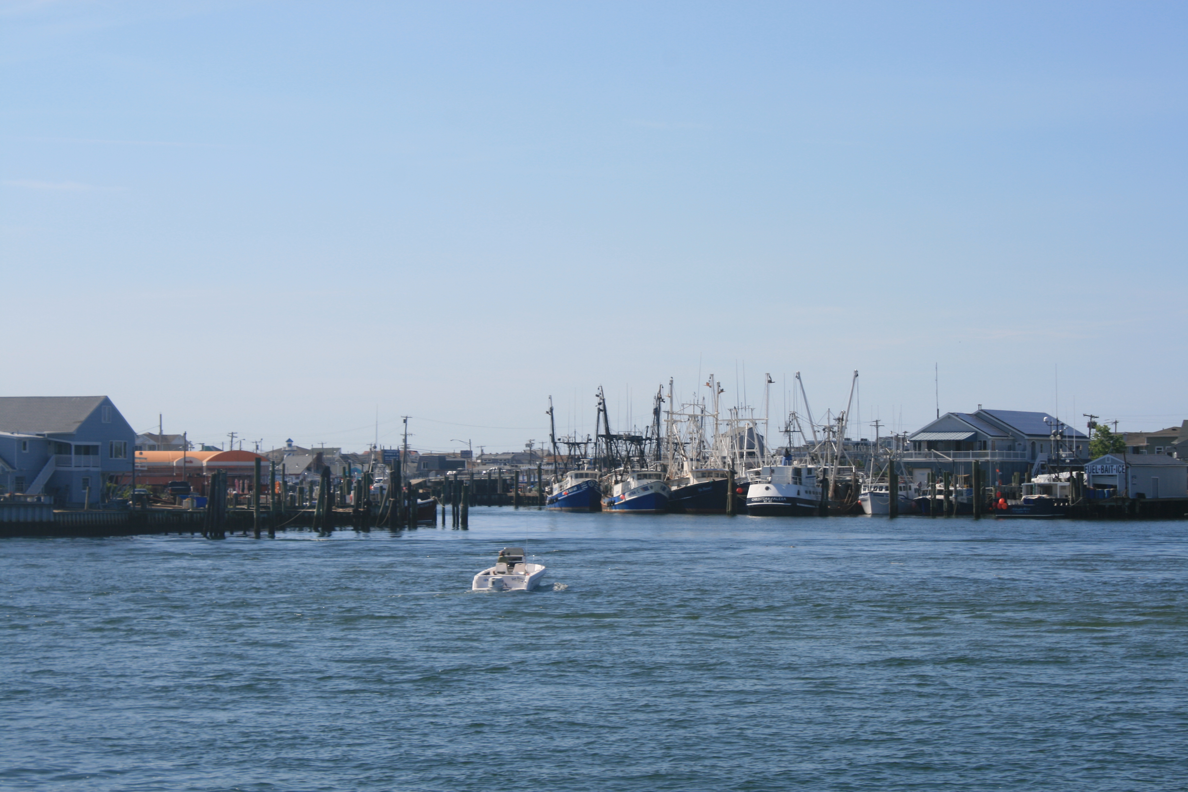
Fishing boats at Manasquan
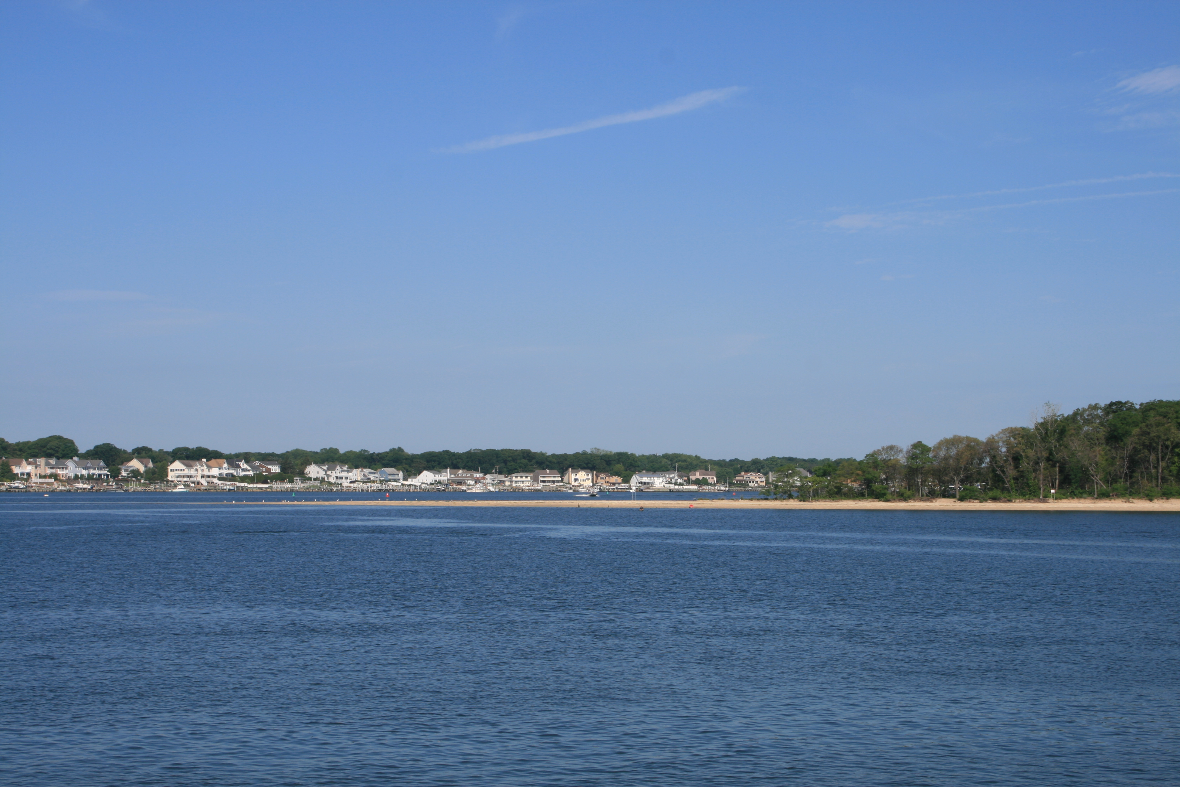
At last we could see the ocean ahead of us through the inlet.
Manasquan Inlet
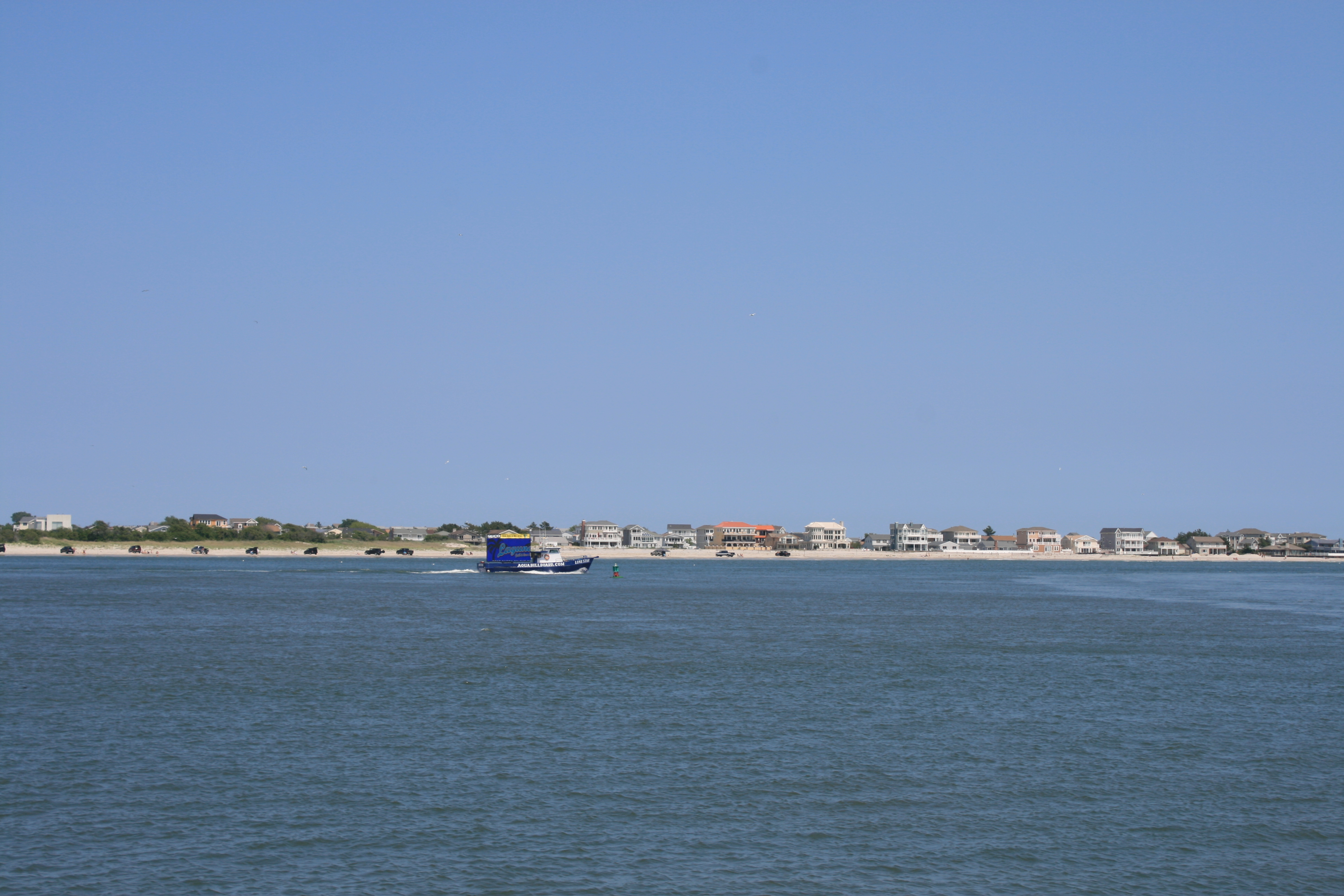
The inlet was actually the worst part, in terms of the waves and the choppiness. Once we were a mile out to sea things calmed down, and we sat back and enjoyed the thirty-mile stretch along the continuous ribbon of white sand of the northern Jersey Shore, and the exciting moment when we realised we could just make out the faint outline of Brooklyn and Manhattan on the horizon.
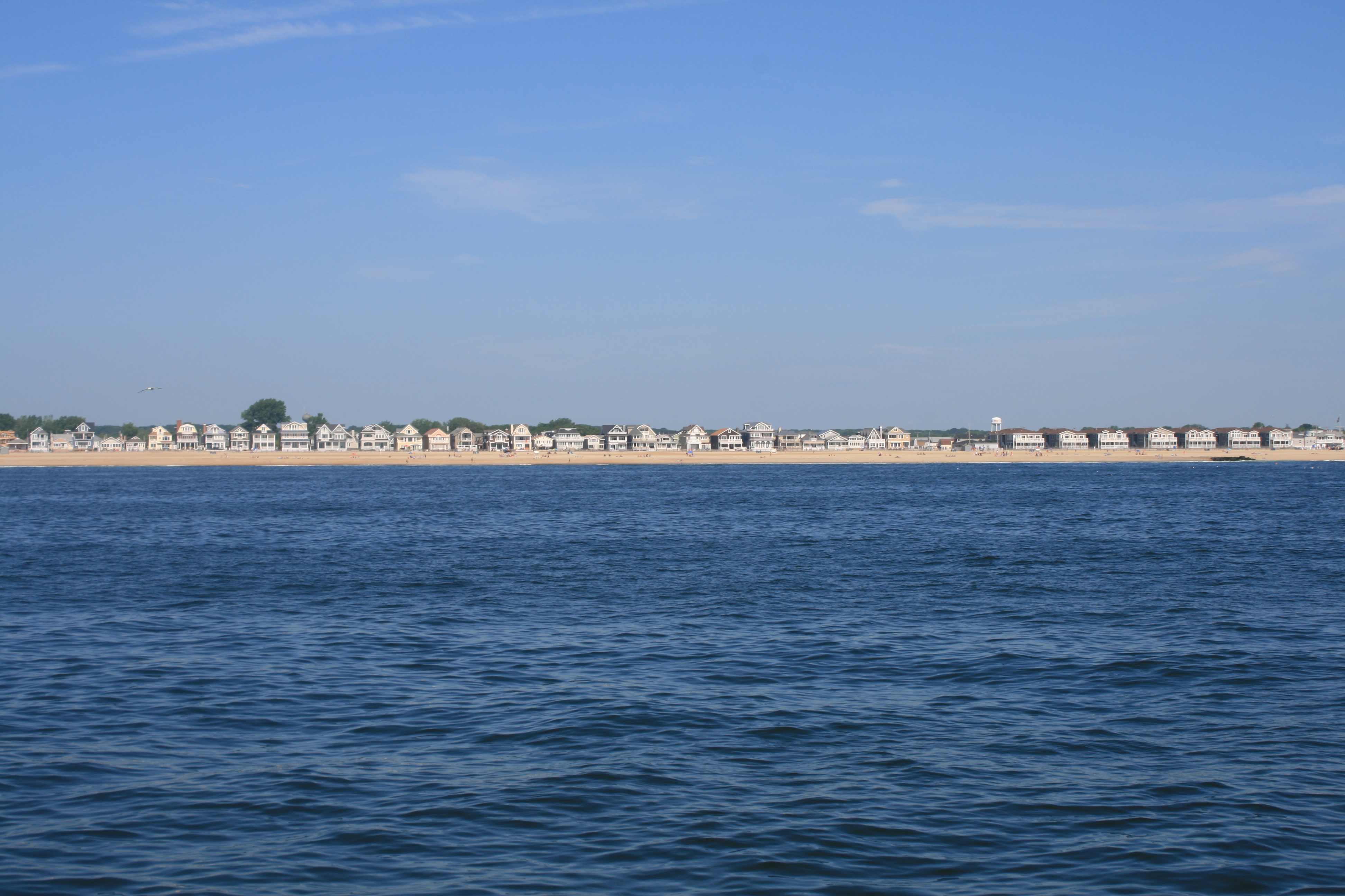
The beach at Manasquan
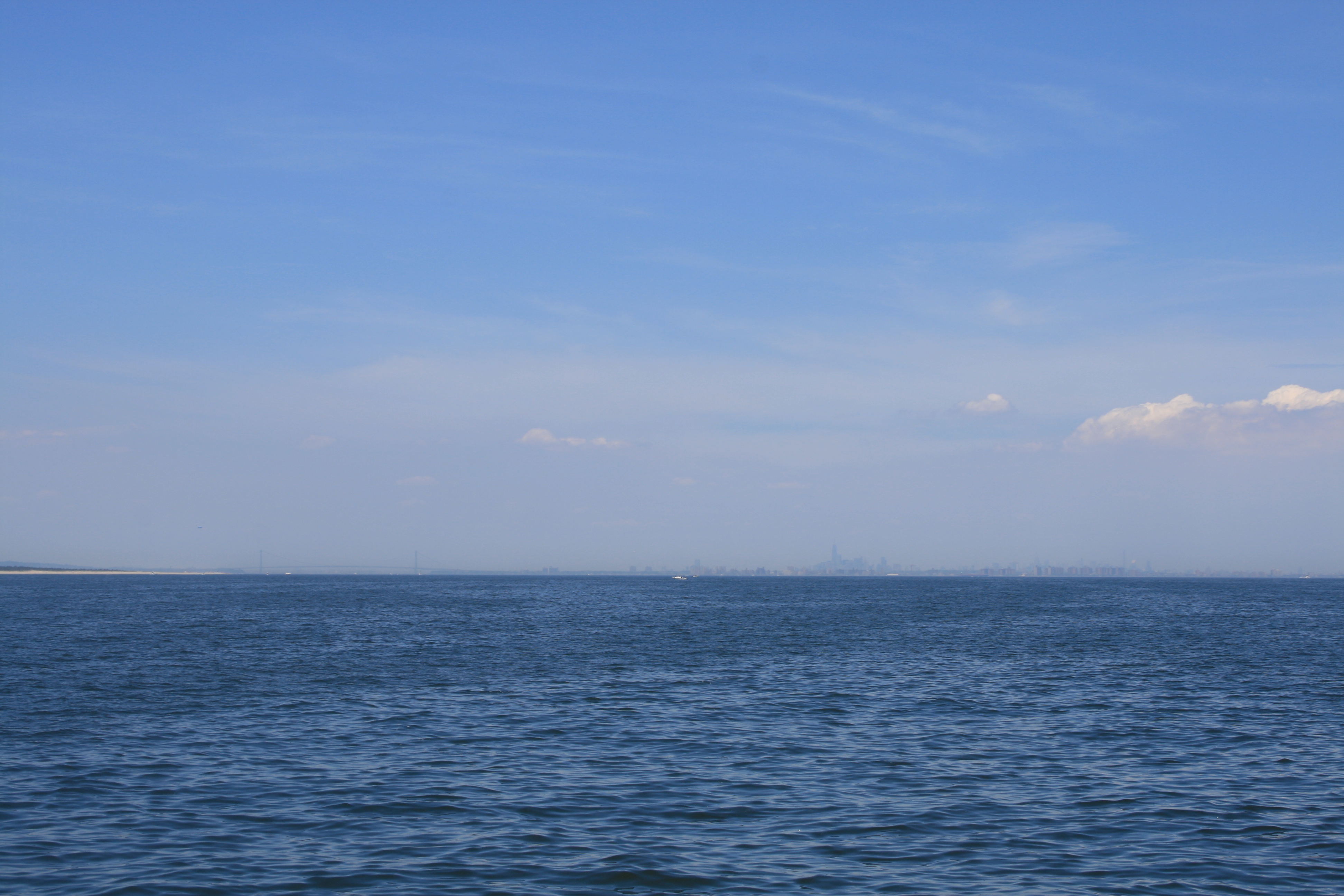
First glimpse of New York City
Ian had arranged for us to stay at Great Kills Yacht Club on Staten Island, where John Calascibetta is the Harbor Host for the American Great Loop Cruisers’ Association. John made our stay in New York really special and could not have been more helpful, assisting us to dock in the windy conditions, being a mine of information, lending us a Metro Card so we could get into the city easily, and driving us to the supermarket to re-stock.
He recommended the nearby Cole’s Dockside Restaurant, so after our long day we went there for a great meal and gathered our strength for two days in New York City.
Great Kills, Staten Island
Marinas and Yacht Club, Great Kills
