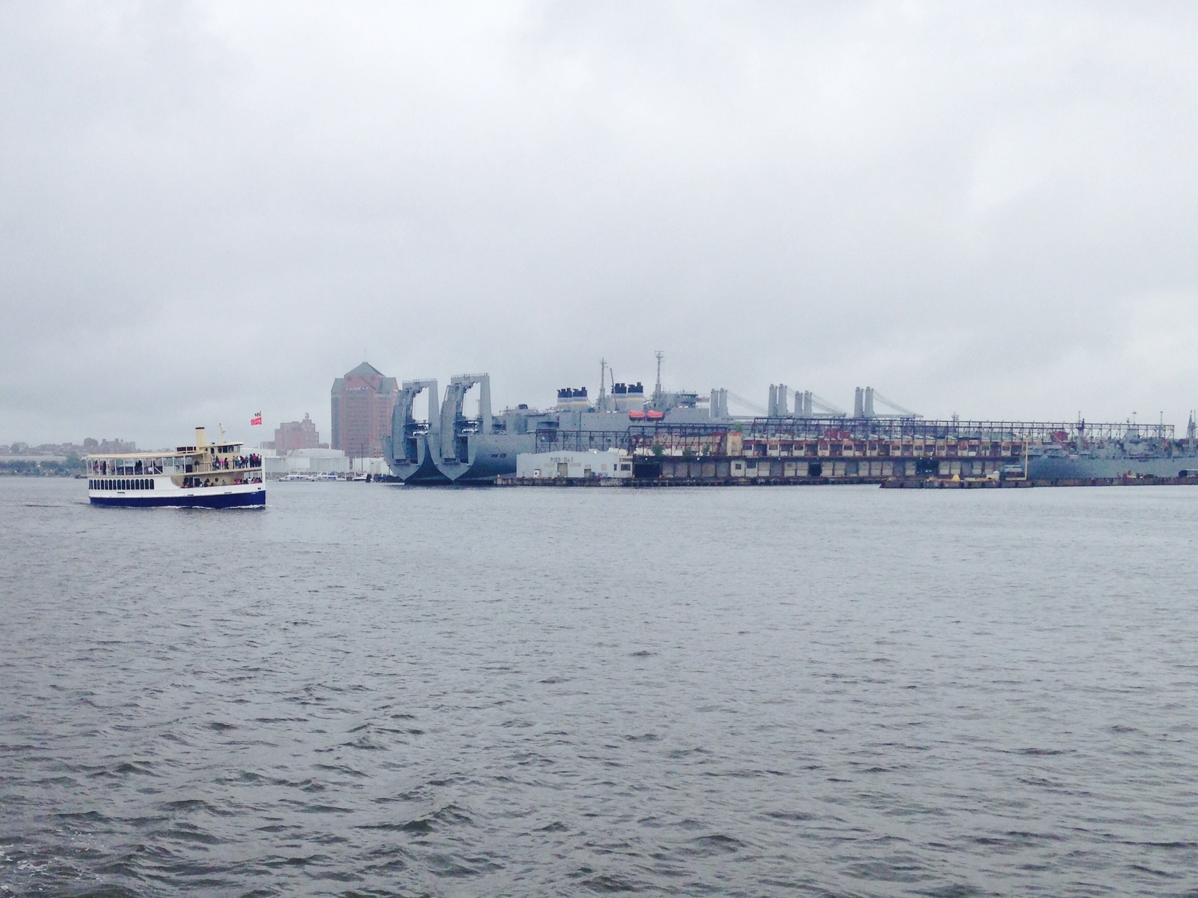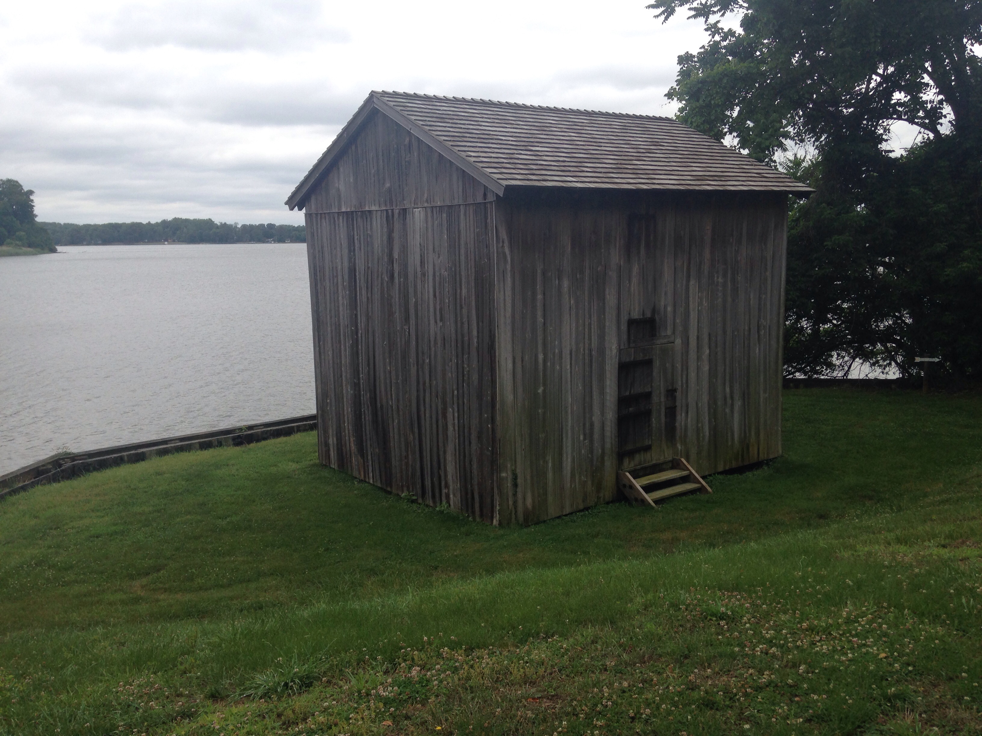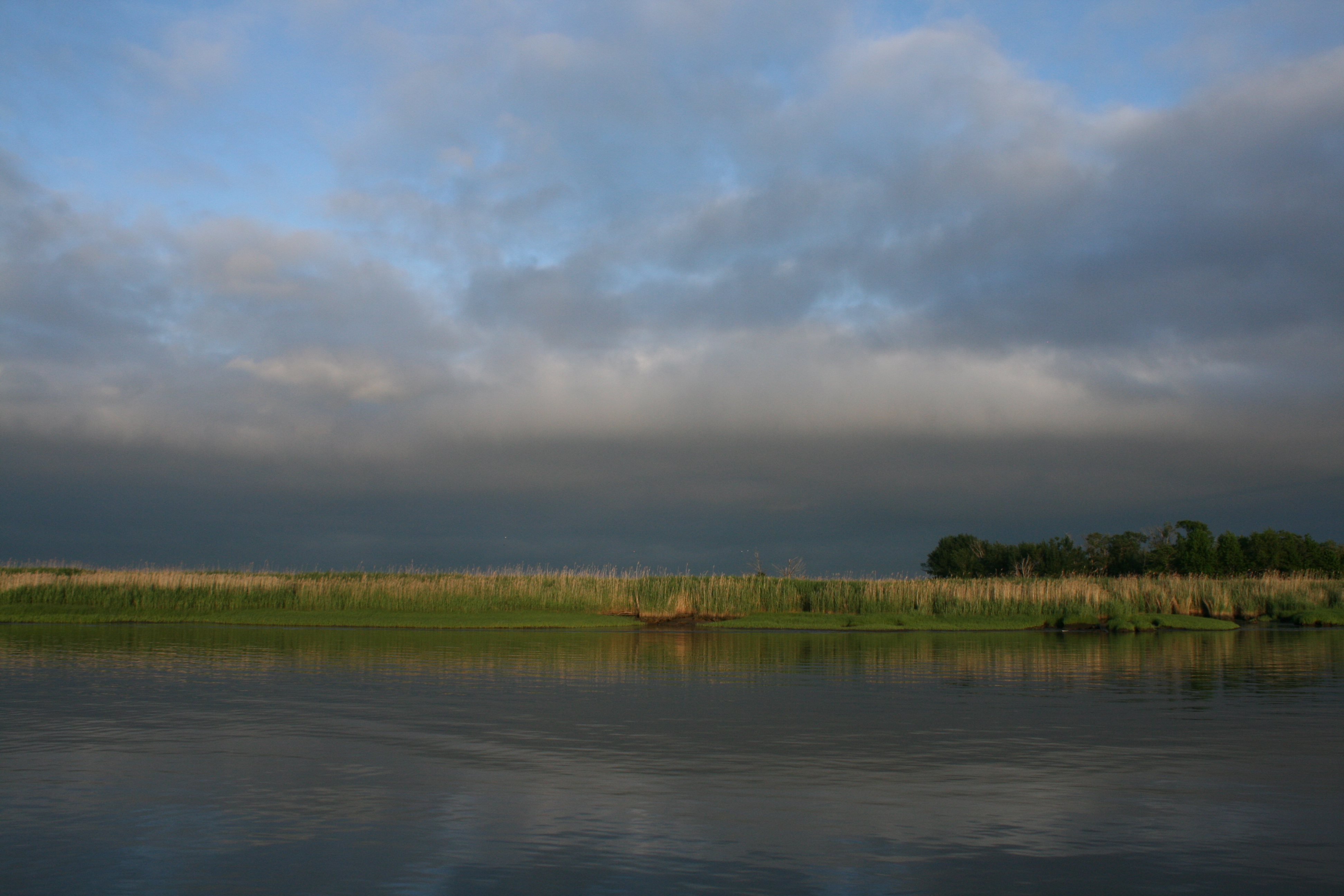
My hopes of a spectacular sunrise as we travelled down the Delaware River were disappointed when the day dawned grey, but at least not cold. We had to get up at the crack of dawn, I had been told, to take advantage of the prevailing tide.
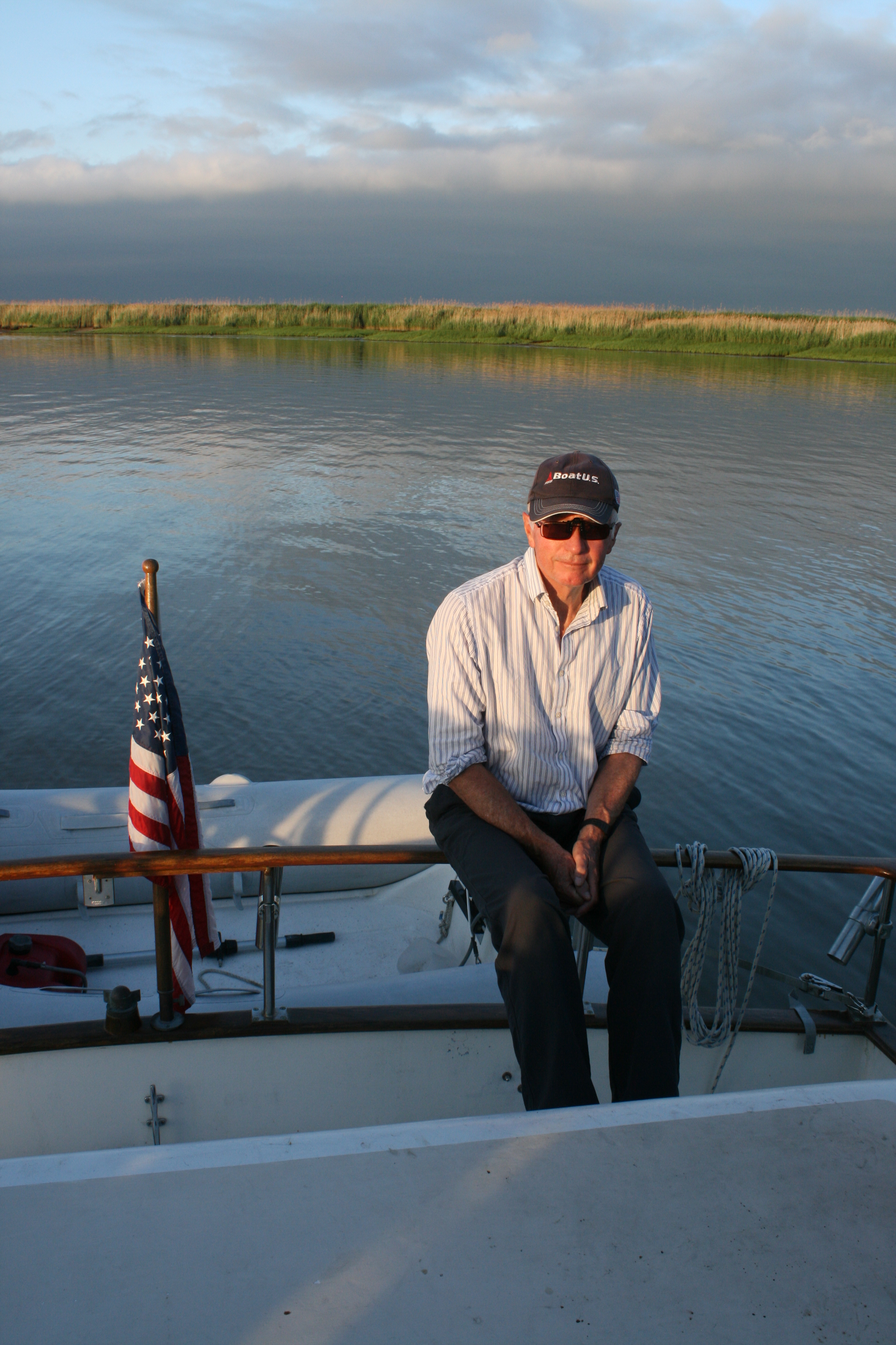
I don’t get out of bed in the morning until I’ve had a cup of tea and saw no reason to vary my rule on this occasion. The Captain duly put the kettle on at 4.40 am, shortly after we had been woken by his mobile’s tedious tinklings.
It was much too early for breakfast though, or a shower, so we were soon en route, and the Captain’s decision to make an early start was vindicated when the speed gauge showed 9.9 knots, a personal best for Carina.
The grey skies didn’t lift and we turned into the canal just north of Cape May in a good North Tyneside-type sea fret, and moored at the Miss Chris marina.
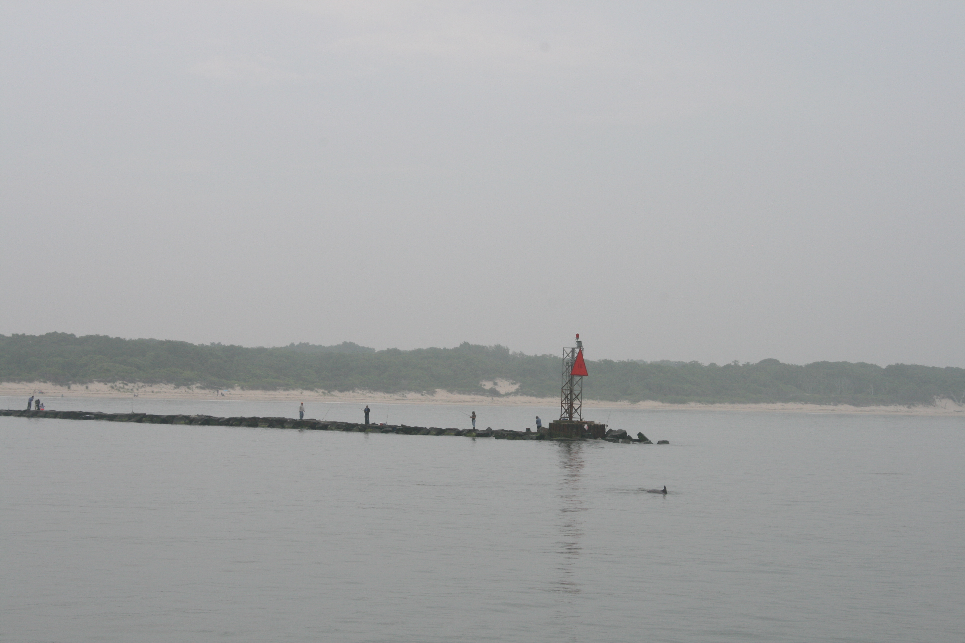
Arriving at Cape May in a sea fret. Note dophin

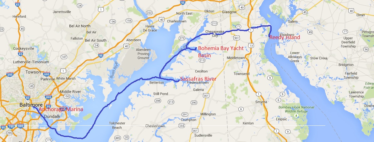
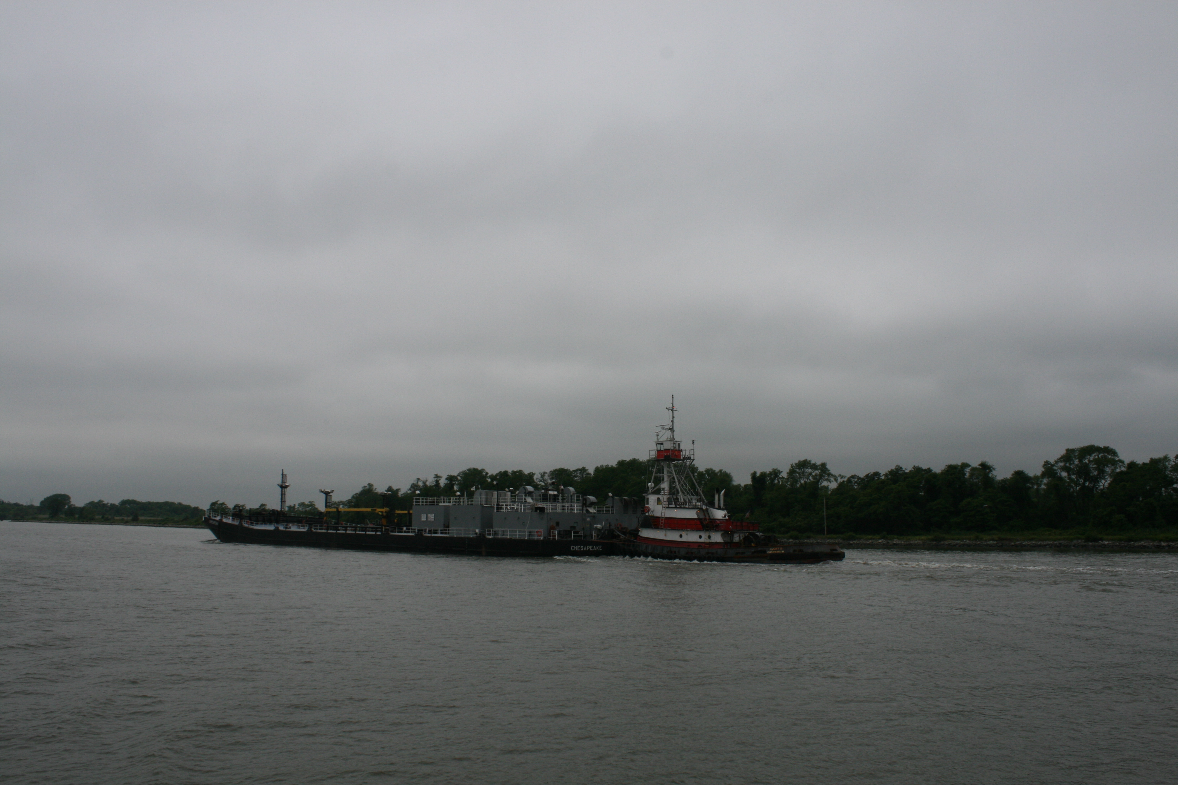
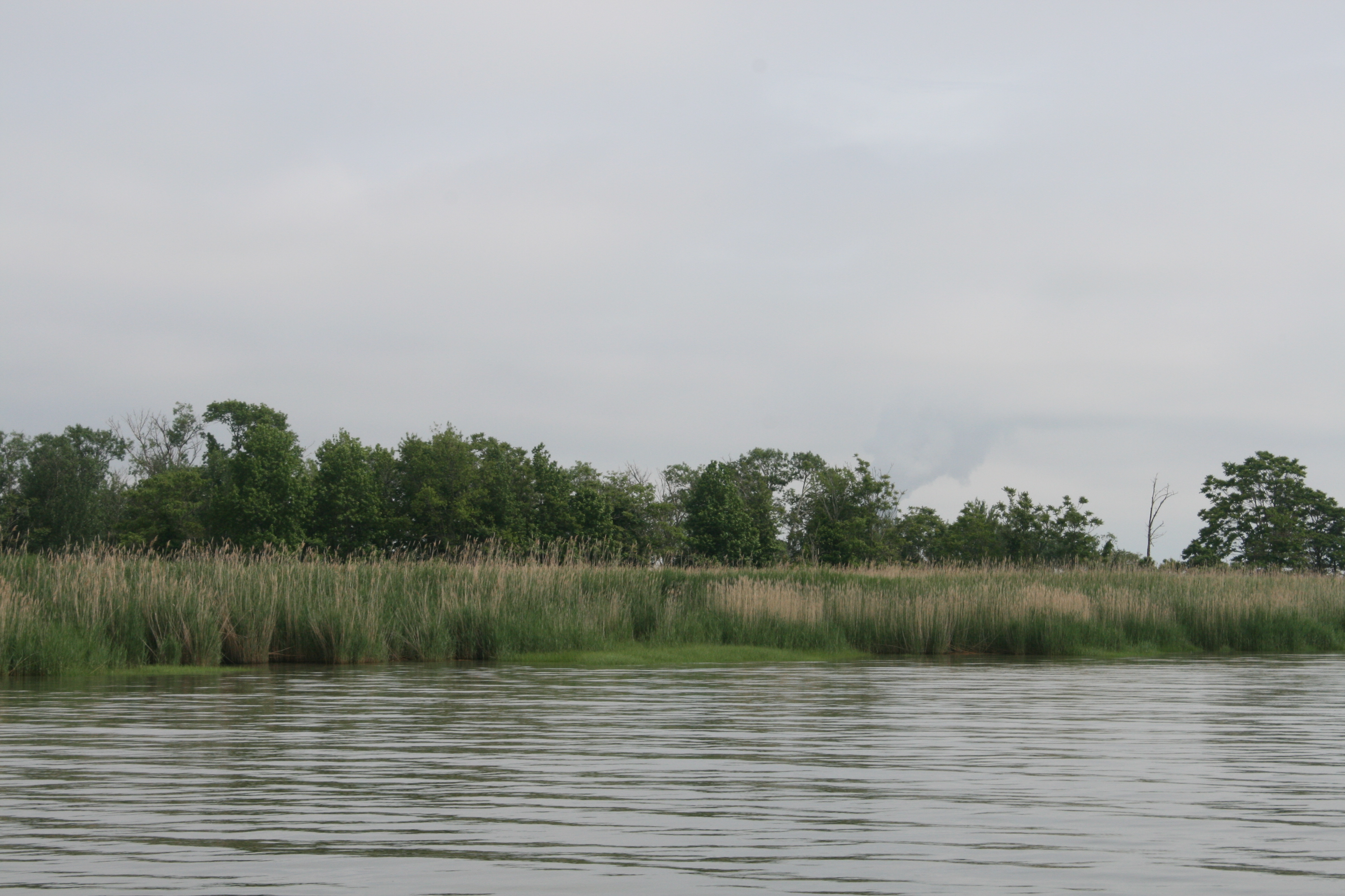
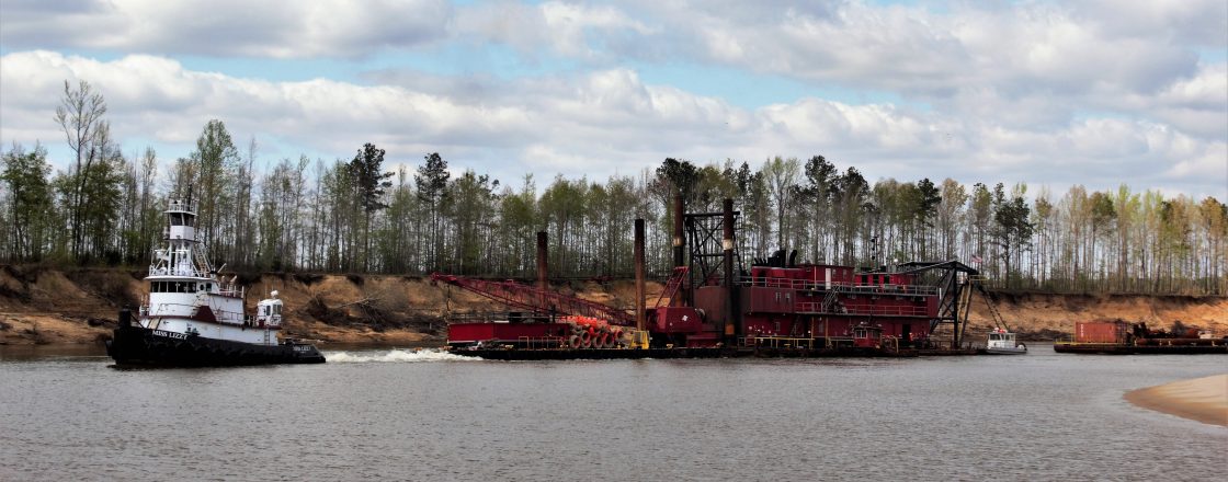
Reedy Island to Cape May
The decision to leave very early was further vindicated when twenty minutes after we had arrived and sorted the boat out, there was a torrential storm with brilliant flashes of lightning and crashing thunder, and we spent the afternoon cowering inside Carina, hoping the lightning wouldn’t strike the mast.
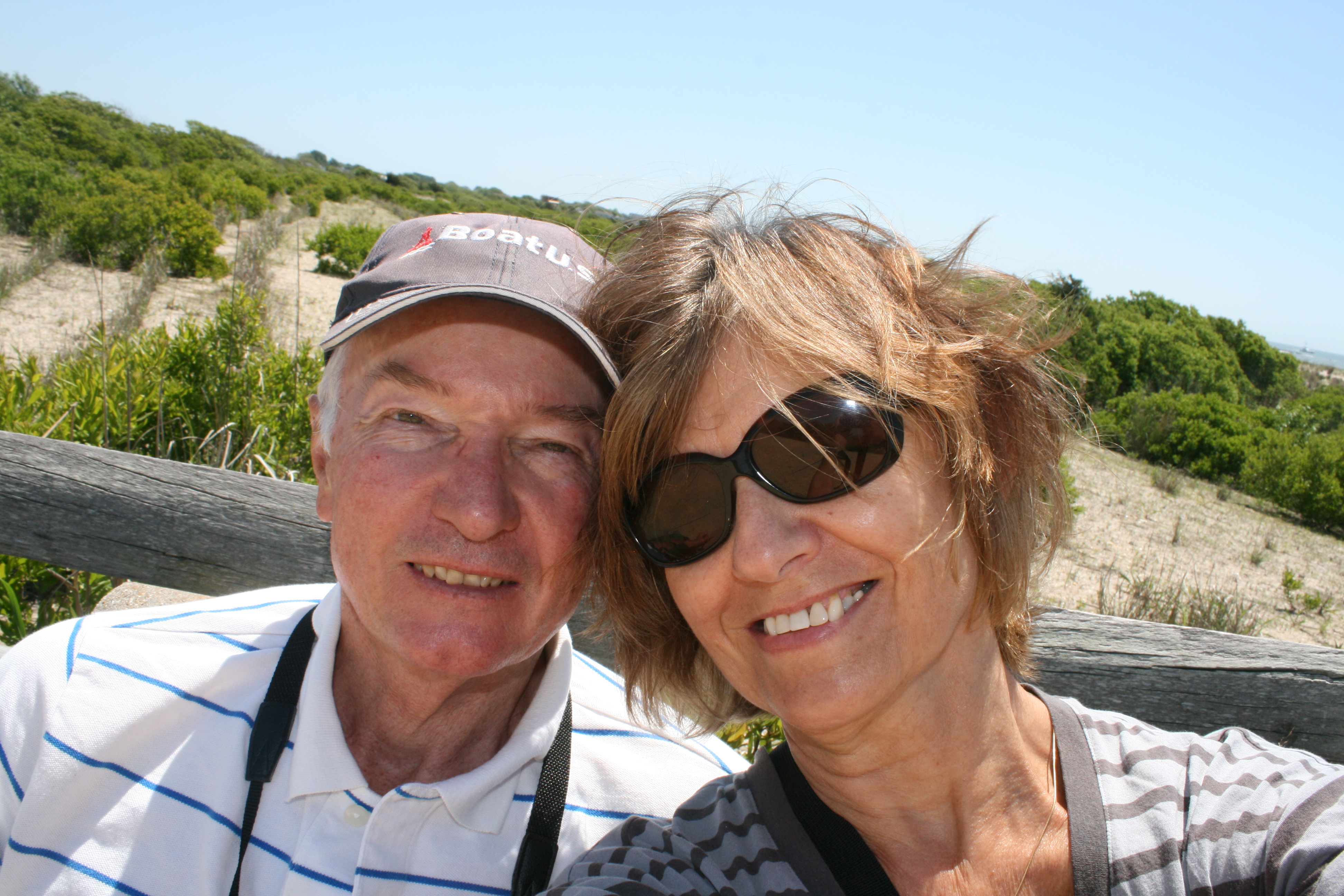
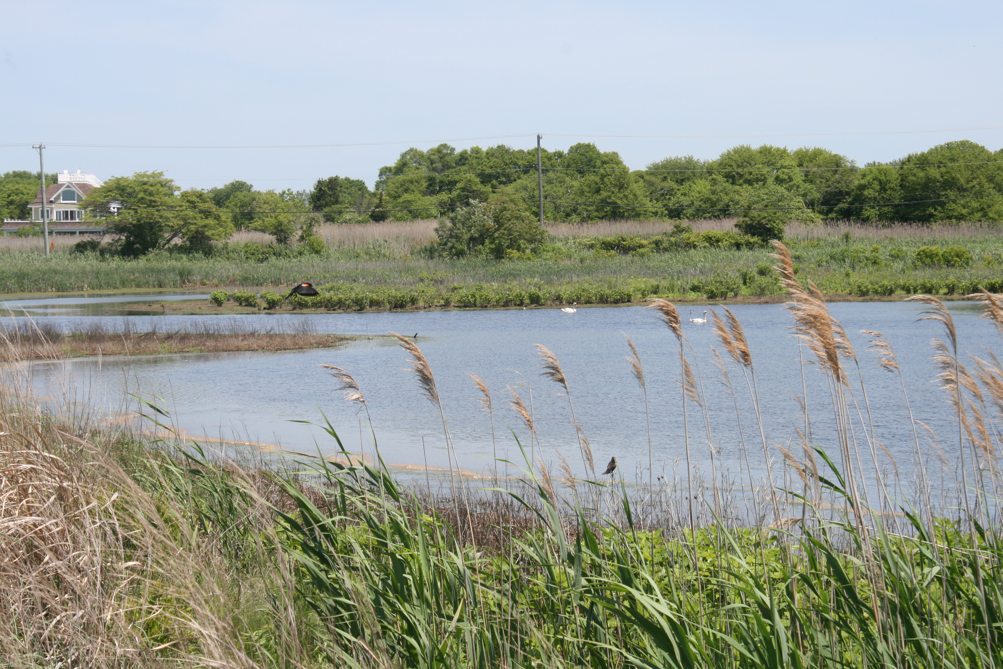
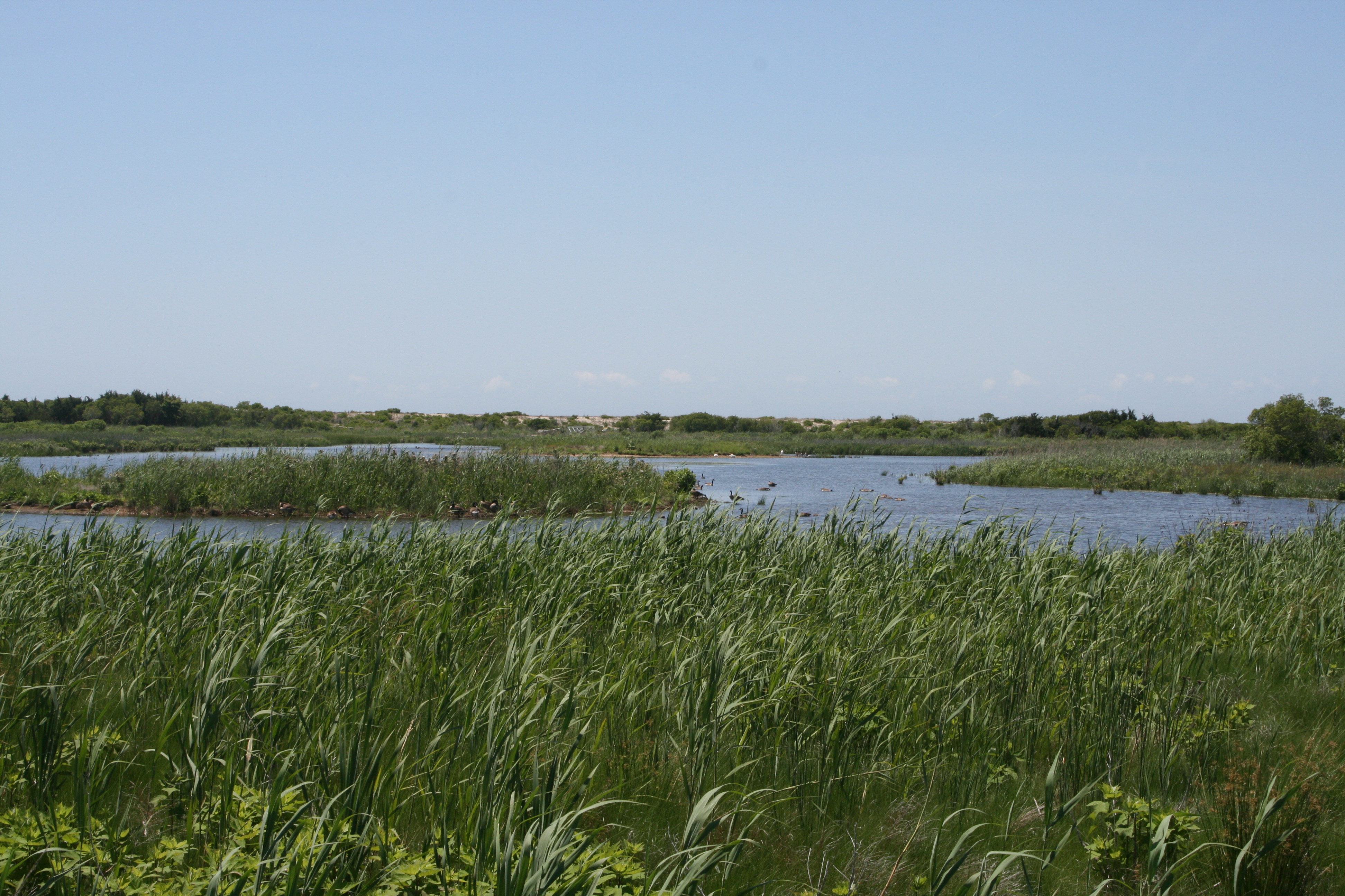
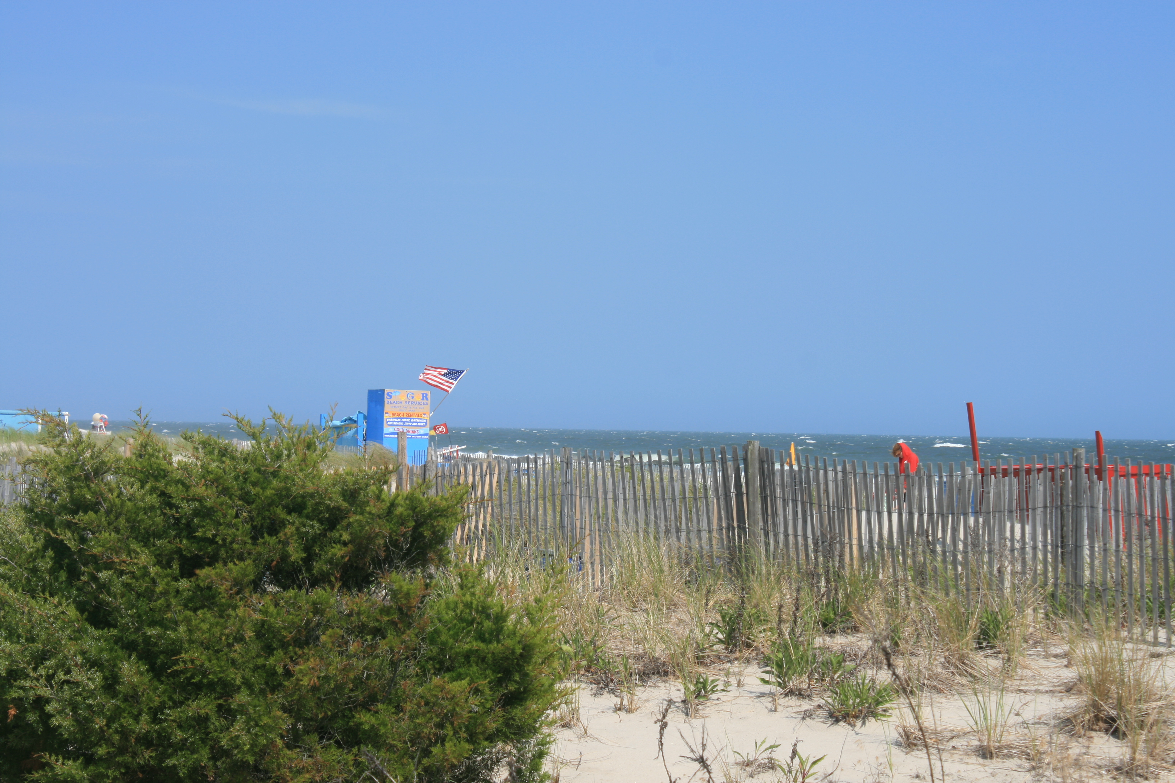
But Sunday was clear and bright and we cycled two miles to Cape May Meadows, which border the beach to the south-west of the town. In the 19th century, South Cape May, where the Meadows are now, was the USA’s first seaside resort.
But the Atlantic storms caused erosion and flooding, and eventually the Victorian houses had to be abandoned to the sea after a particularly violent storm in the 1950s.
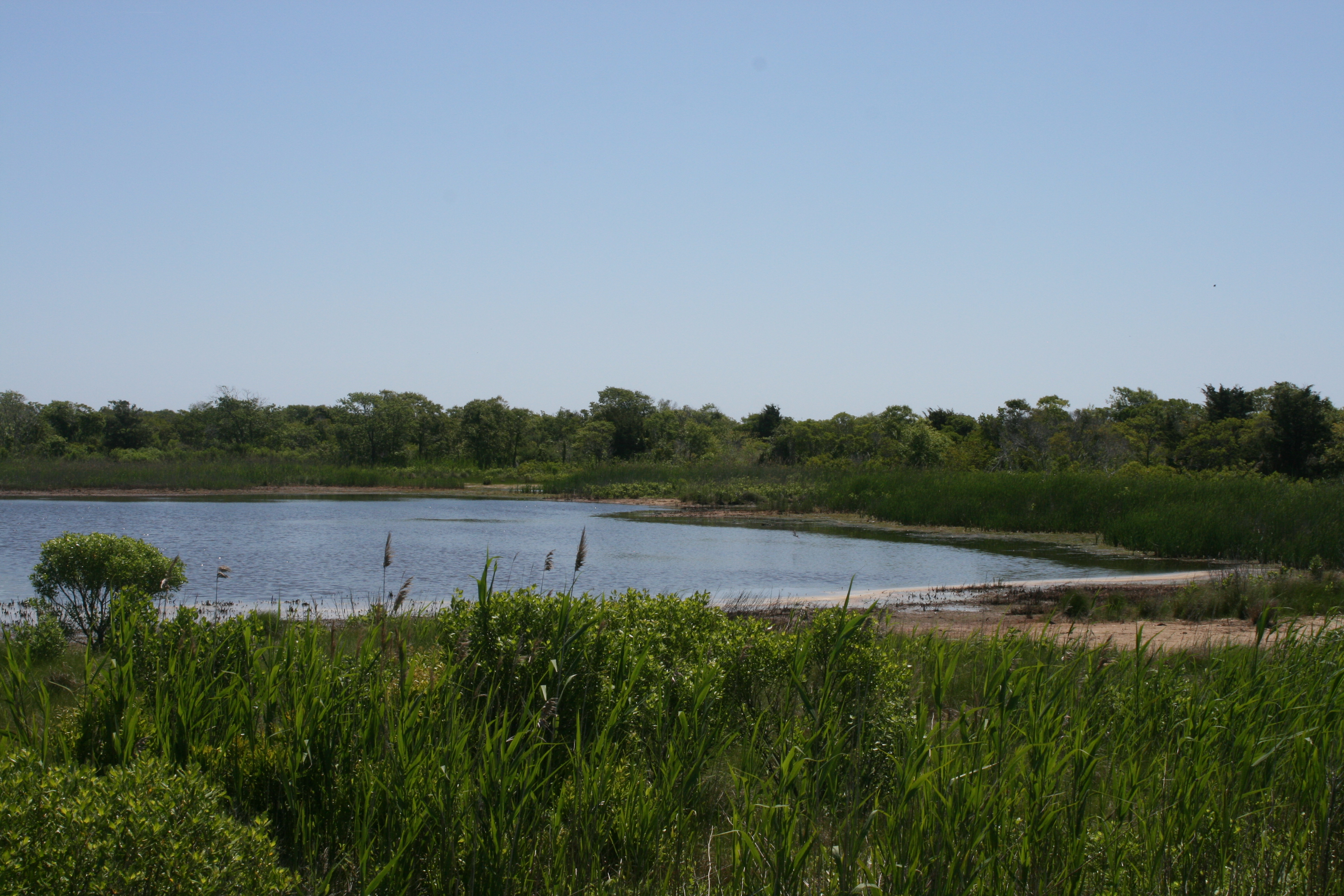
The land is privately owned, but managed by the Nature Conservancy, and in 2004 in partnership with the Army Corps of Engineers and the NJ Department of Environmental Protection, work was started to restore the freshwater wetlands, the dunes and the beach ecosystems. By 2007 the project was complete and has been very successful, with many migratory birds passing through.
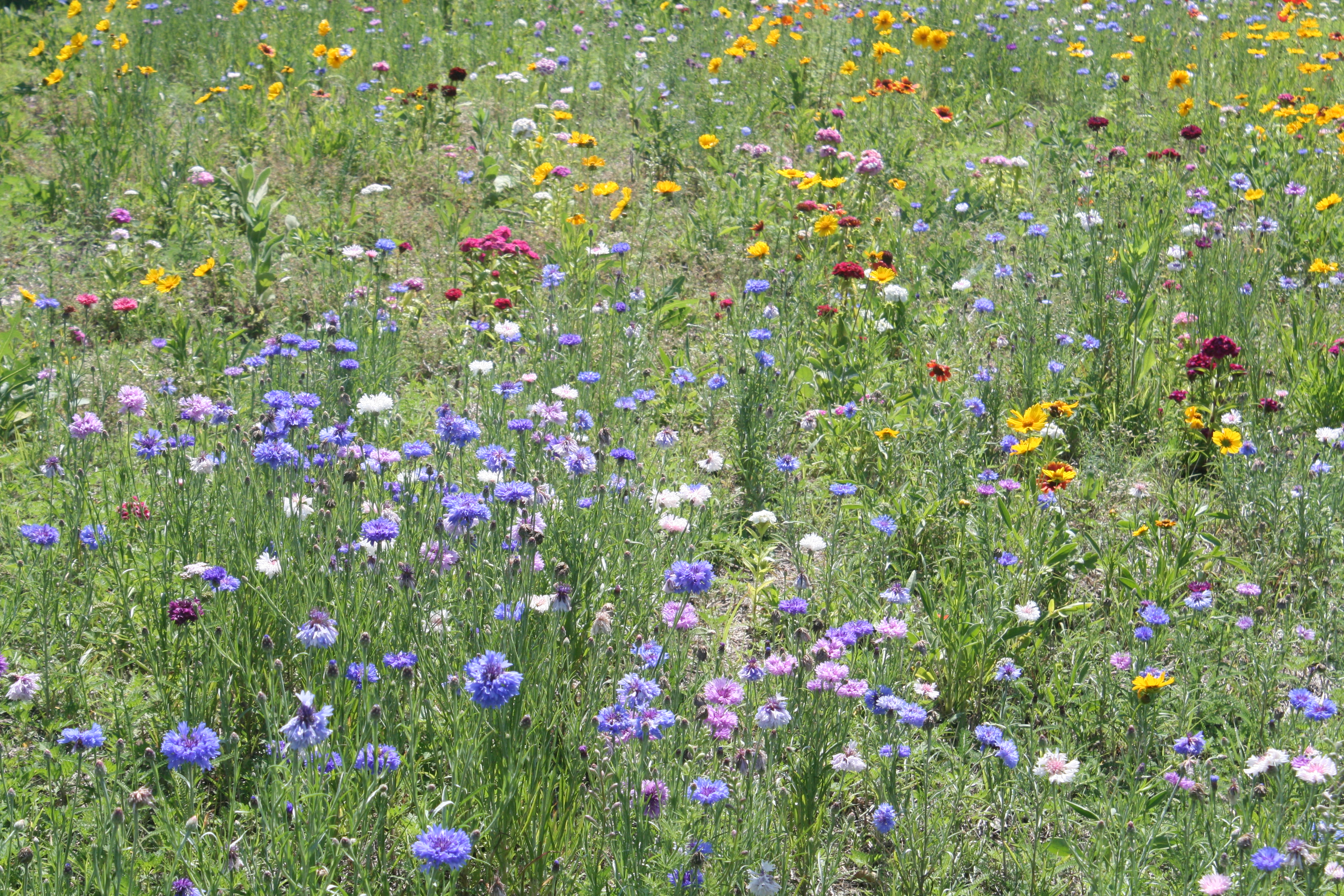
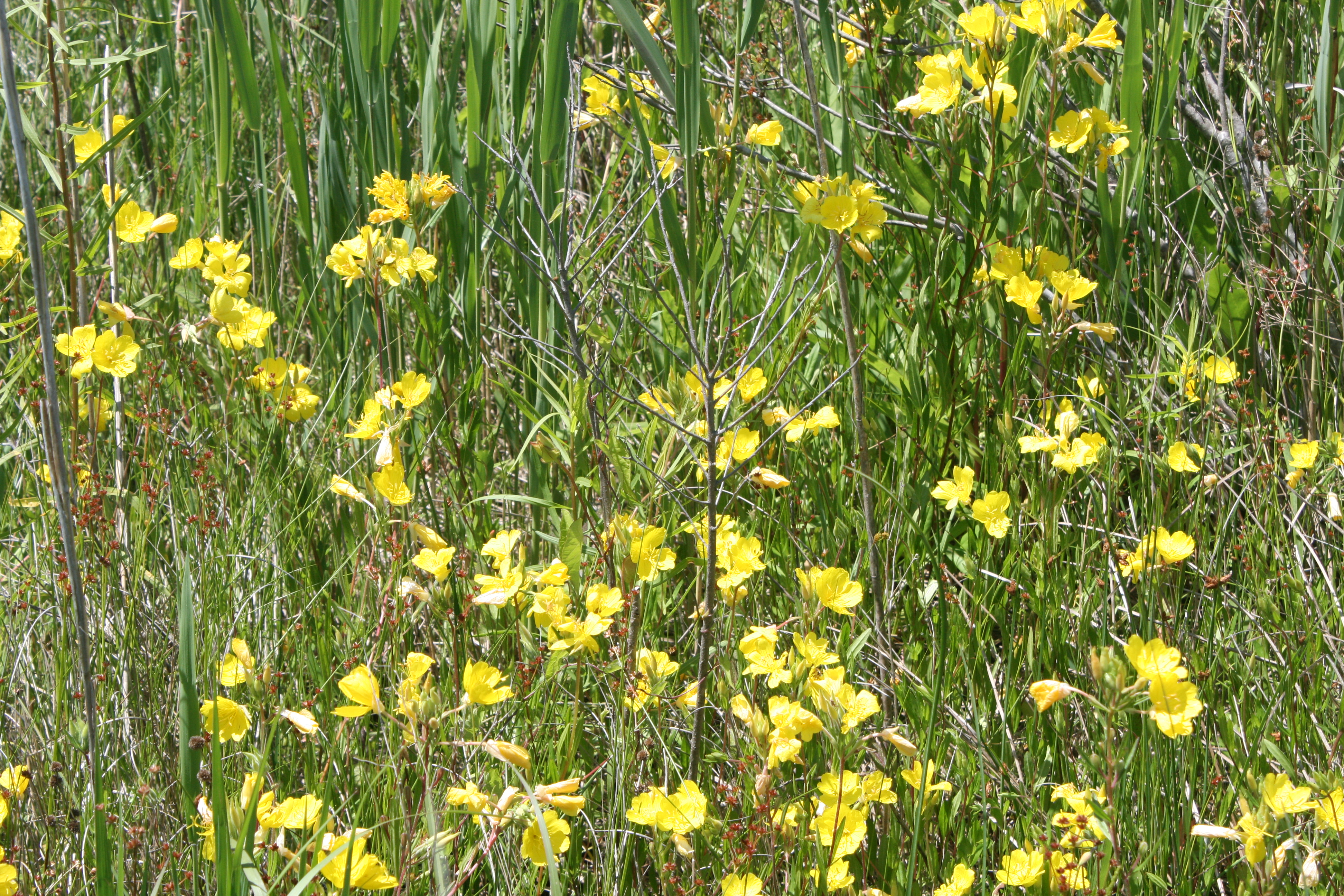
Meadow flowers


Amongst the swans, ducks, geese and egrets, we were delighted to see some small black birds with exotic red flashes on their wings, and asked a couple of young Nature Conservancy workers what they were.
‘Oh. Those would be the Red-winged blackbirds.’
At least their Latin name, Agelaius phoenicus, has a less prosaic ring.
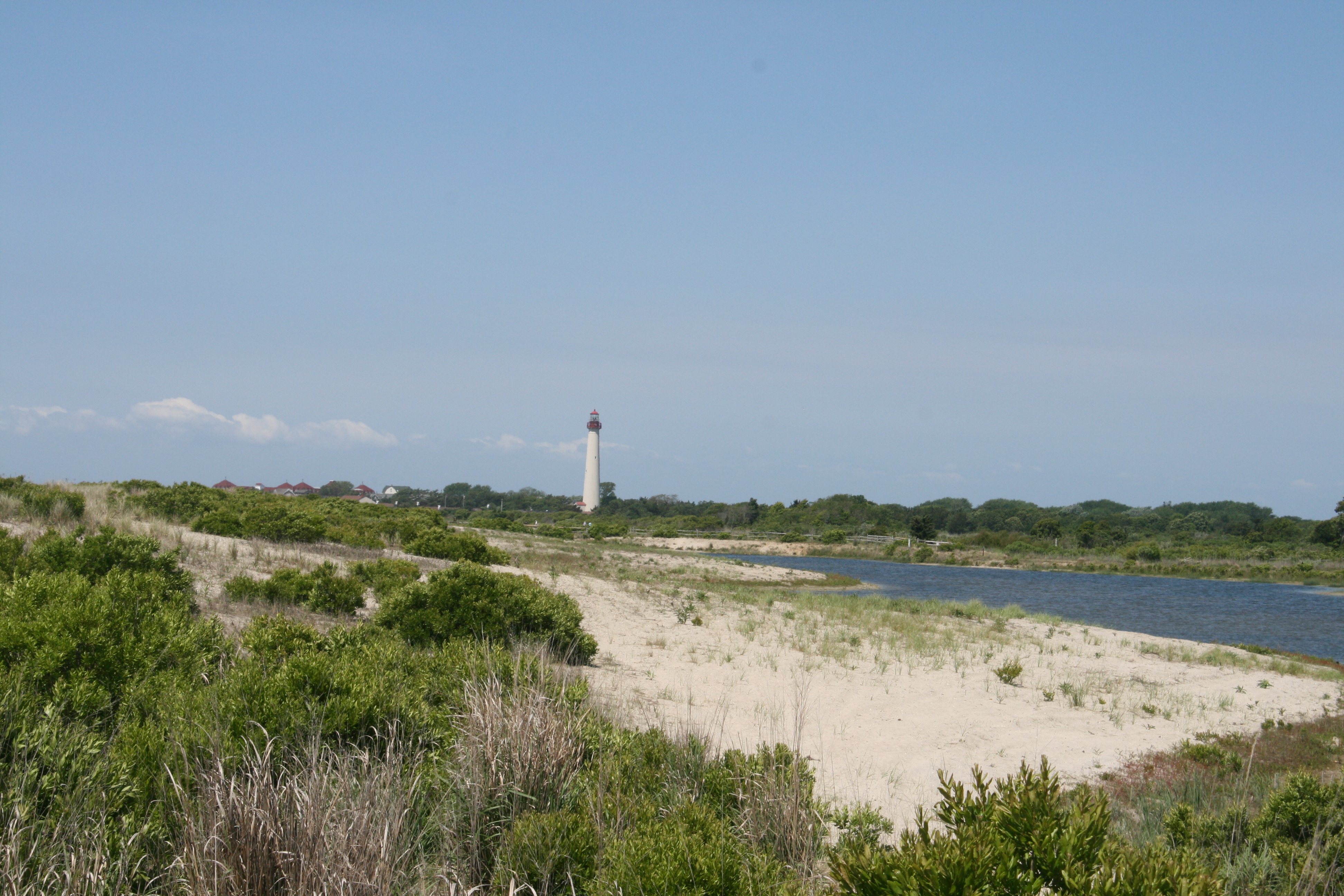
Cape May Lighthouse
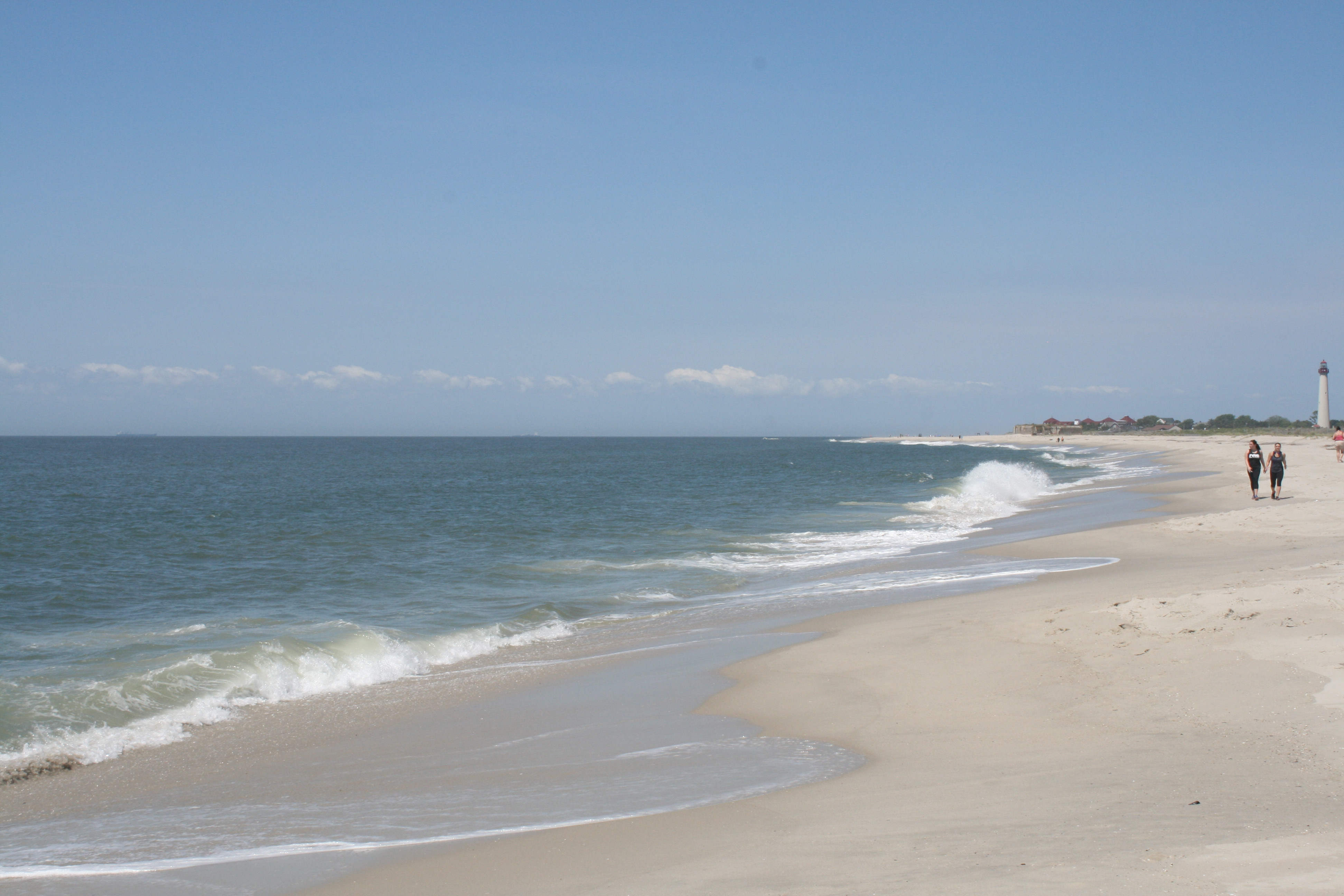
South Cape May beach
Ranunculus bulbosus
We had lunch at the tiny Jake’s Pizza and Restaurant Co on Sunset Boulevard. Despite the unprepossessing exterior and definitely-no-frills interior, the ham and cheese stromboli was freshly baked, and with a mixed salad and a can of pop (for the Captain, I never touch the stuff) the bill came to $17.
Next stop was the VFW (Veterans of Foreign Wars) Club on nearby Congress St, where there was a fund-raising concert being given by the Ben Mauger Vintage Jazz Band.
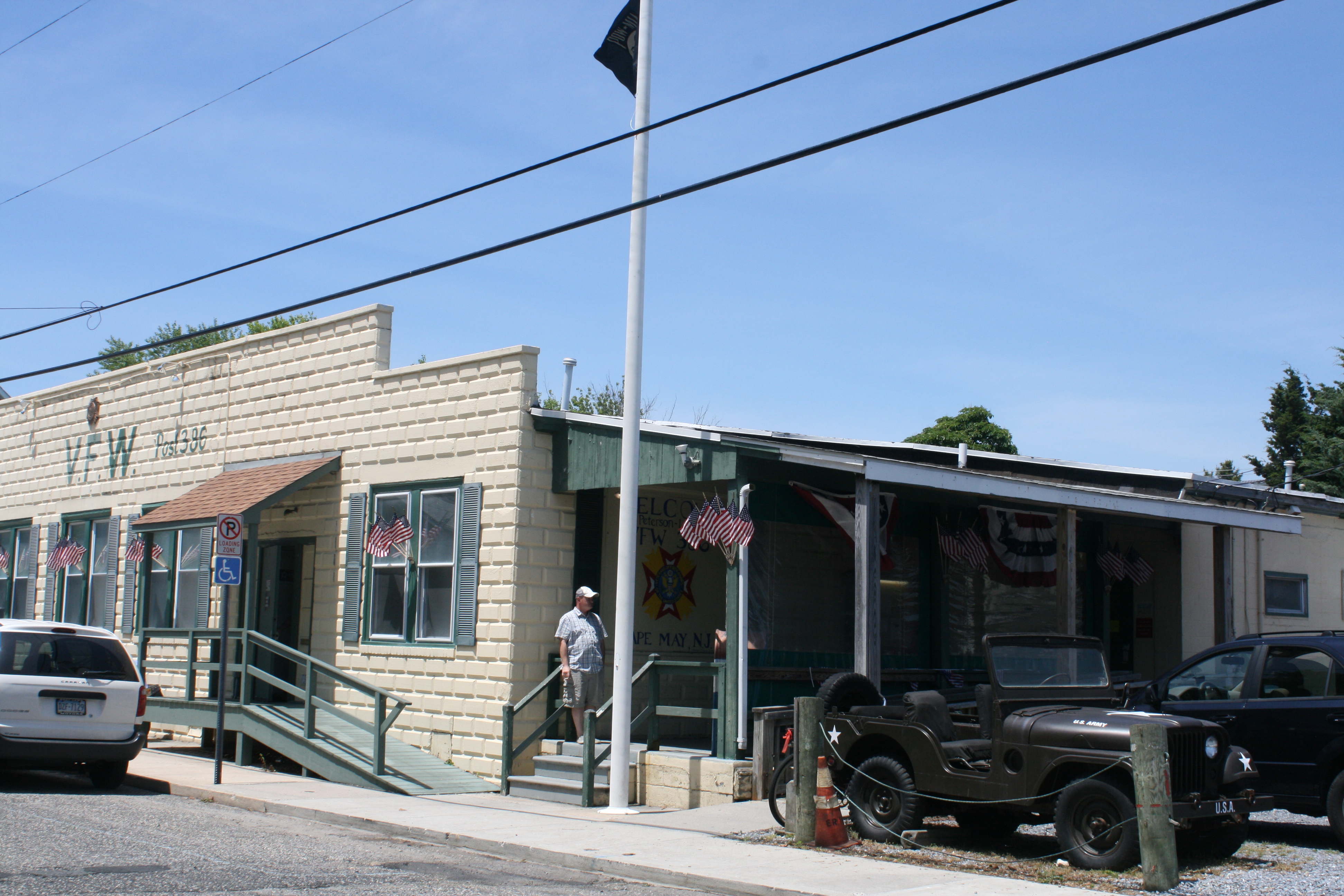
VFW Club, Cape May
The musicians were excellent, and Ben, the leader, injected his humour and personality into the mix too.
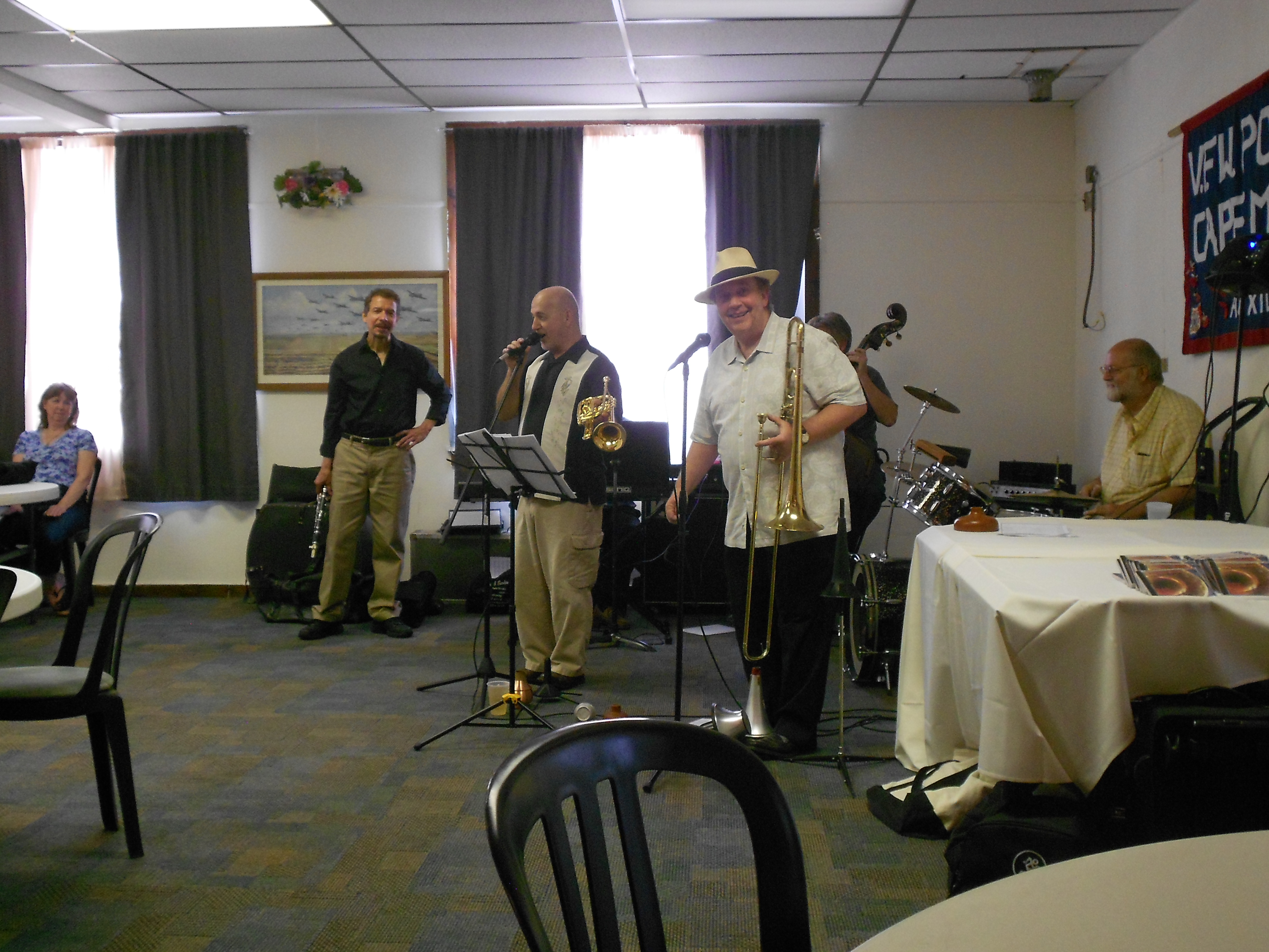
The Ben Mauger Vintage Jazz Band
The VFW was licensed of course, so I got my fizzy drink in the form of a bottle of Sam Adams.
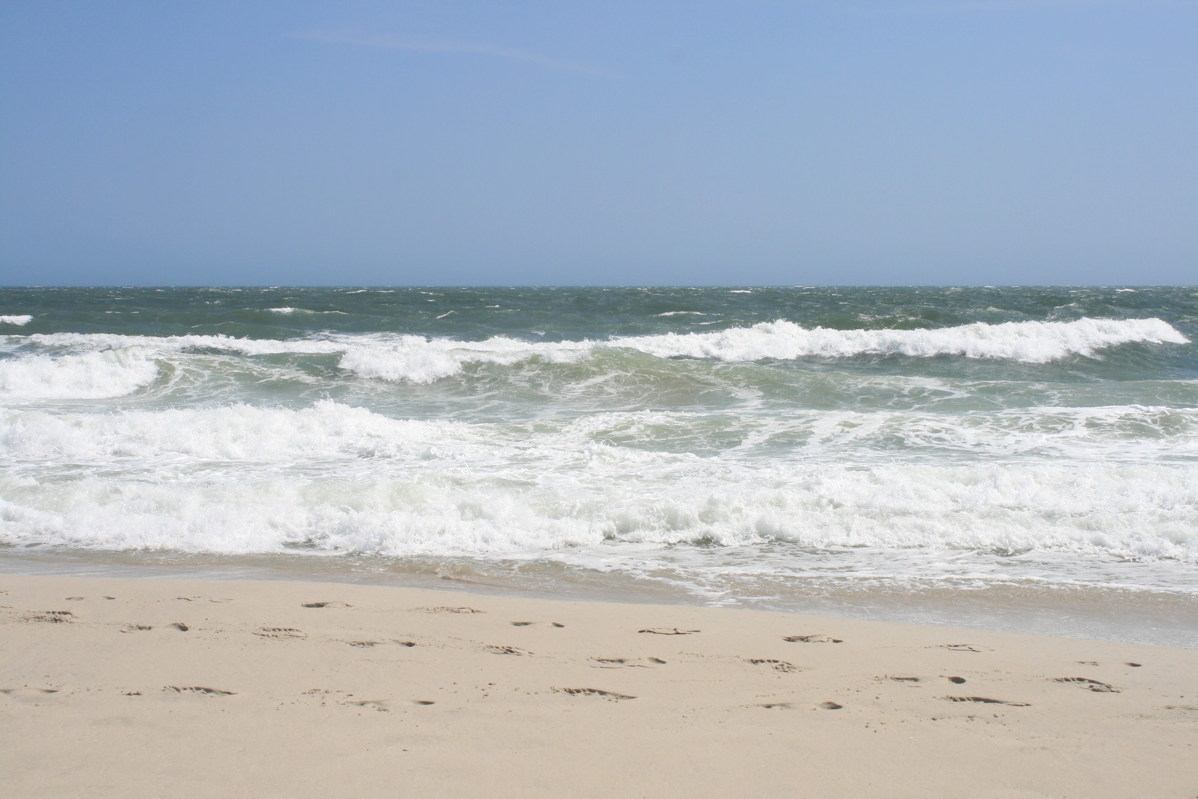
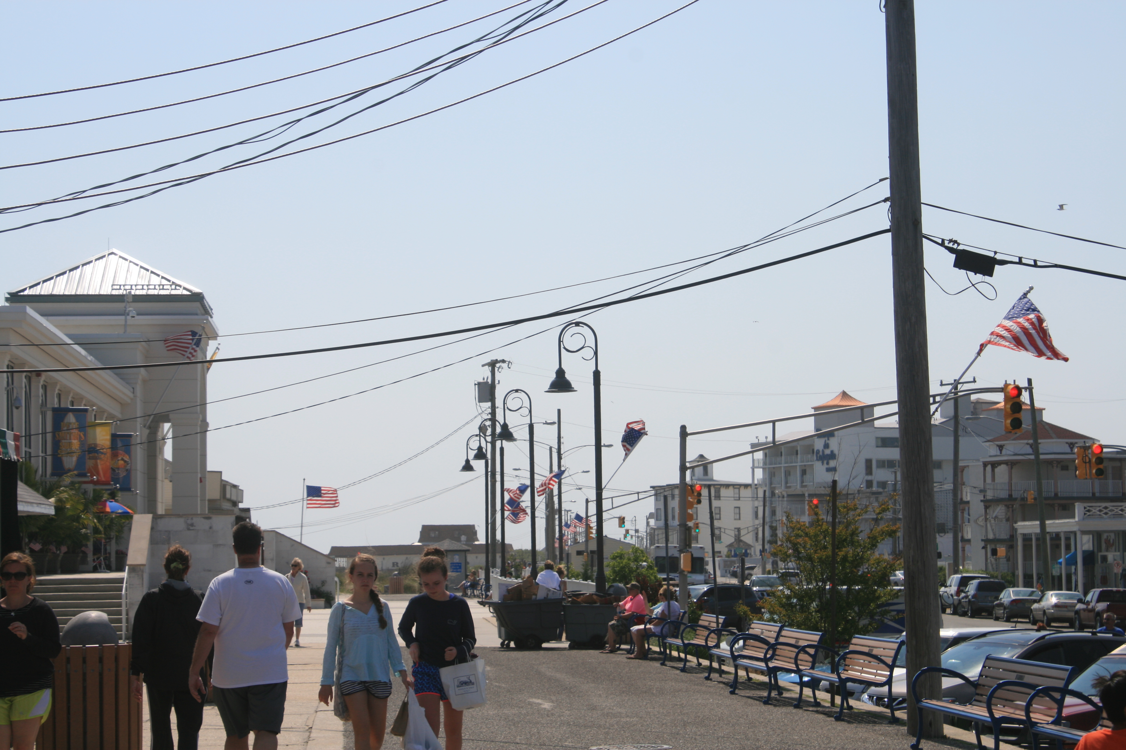
On Monday we explored Cape May City and the main beach. To say it was rather windy would be understatement. Blowing a hooley would be a more accurate meteorological description.
At the beach we were politely intercepted by the Beach Tag Monitor, a pleasant woman in her fifties who asked to see our beach tags.
We said we had no idea what beach tags were.
She explained that they were purchased by the day or week, to allow visitors access to the beach. The money raised paid for lifeguards, litter-pickers and so on. Then she asked us how long we were planning on staying on the beach.
Ian’s beach tolerance threshold is about half an hour at the best of times, and this reduces significantly in biting winds, with grains of sand blowing into one’s face and stinging one’s legs.
Probably about fifteen minutes, we said.
She let us off.
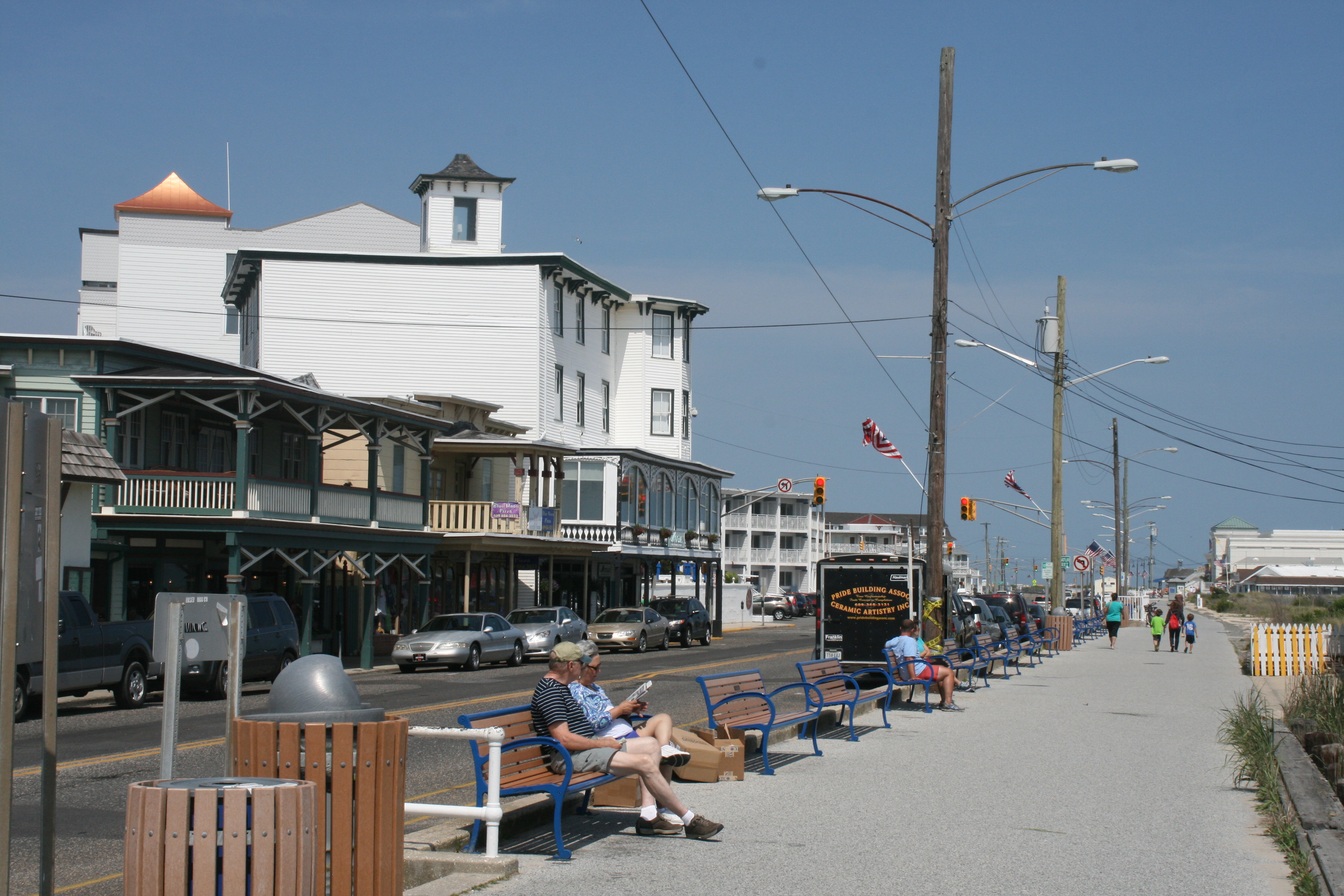
Beach Avenue, Cape May
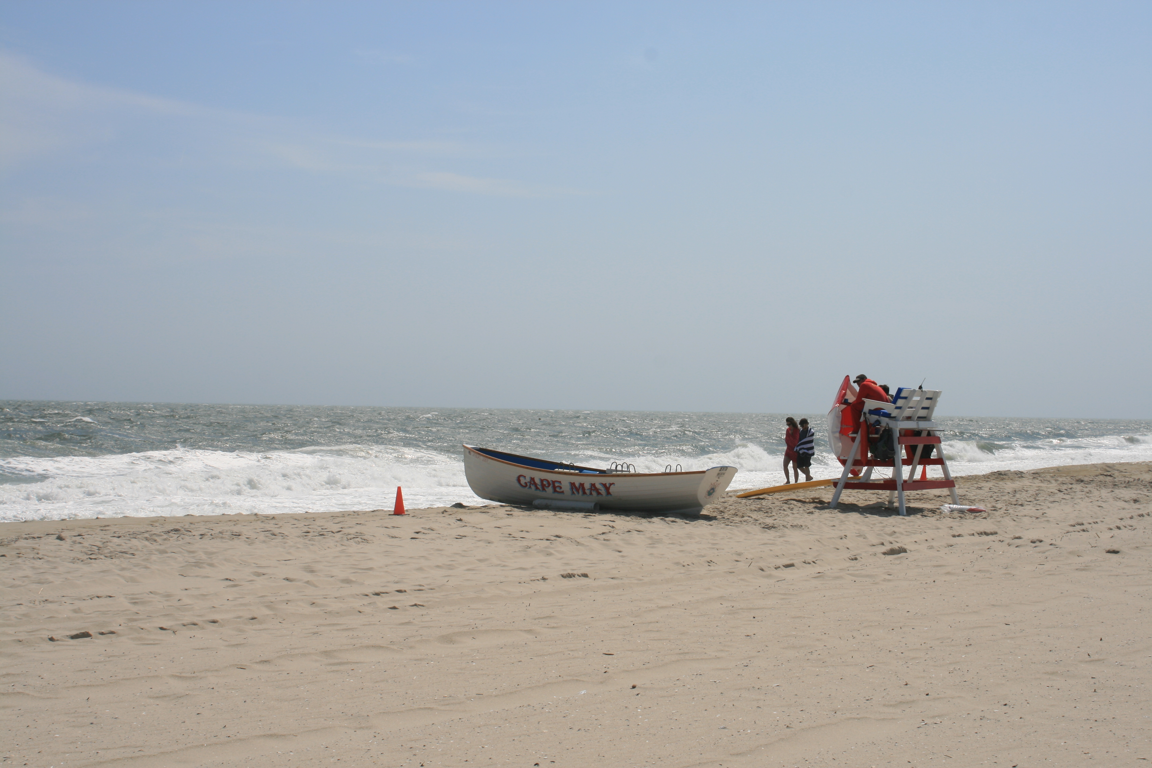
Lifeguards huddling in the wind, Cape May
We cycled further along the Prom and had an ice-cream (Ian) and hot tea (me) from a little kiosk manned by a pleasant young man who told us that his grandparents lived in Grimsby, and he had cousins in Bristol too. There was also family in Barnsley, ‘But that’s Yorkshire, and they’re a bit like, strange.’
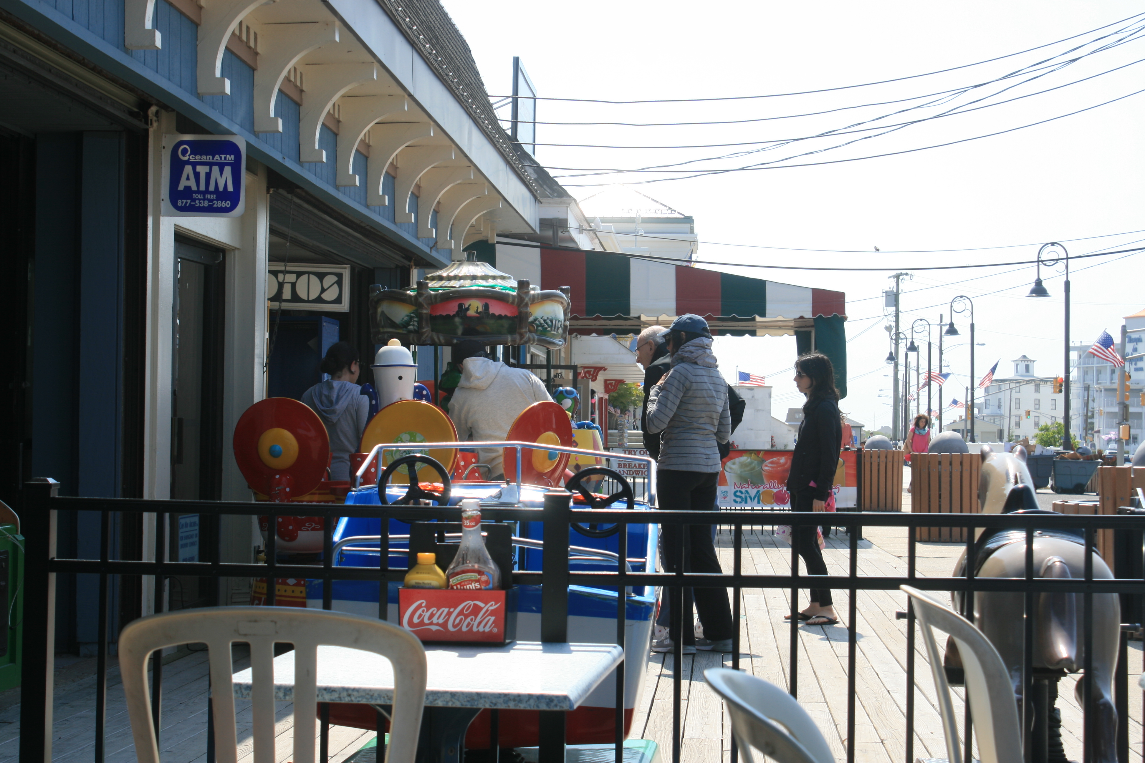
Outside the ice-cream kiosk
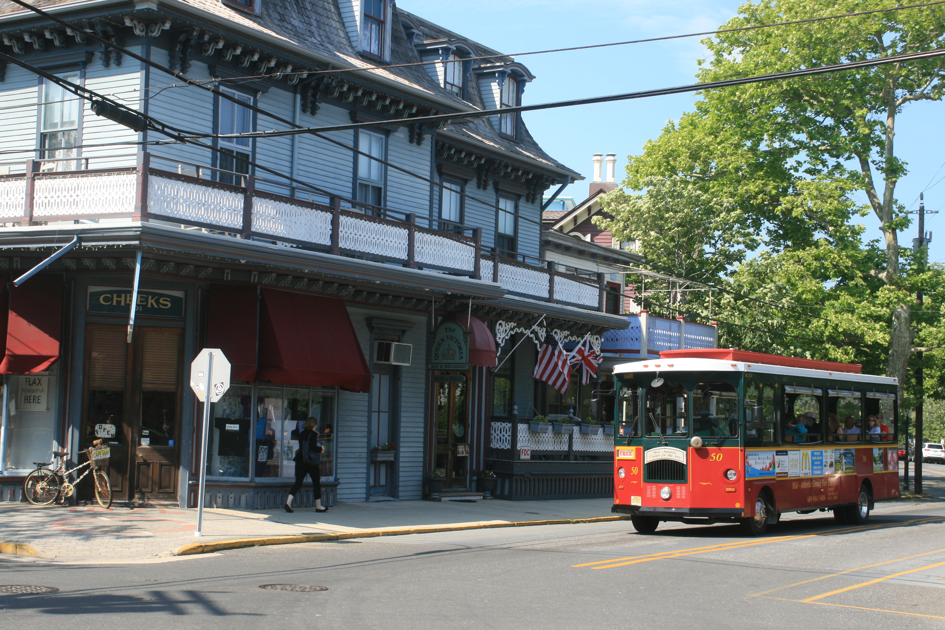
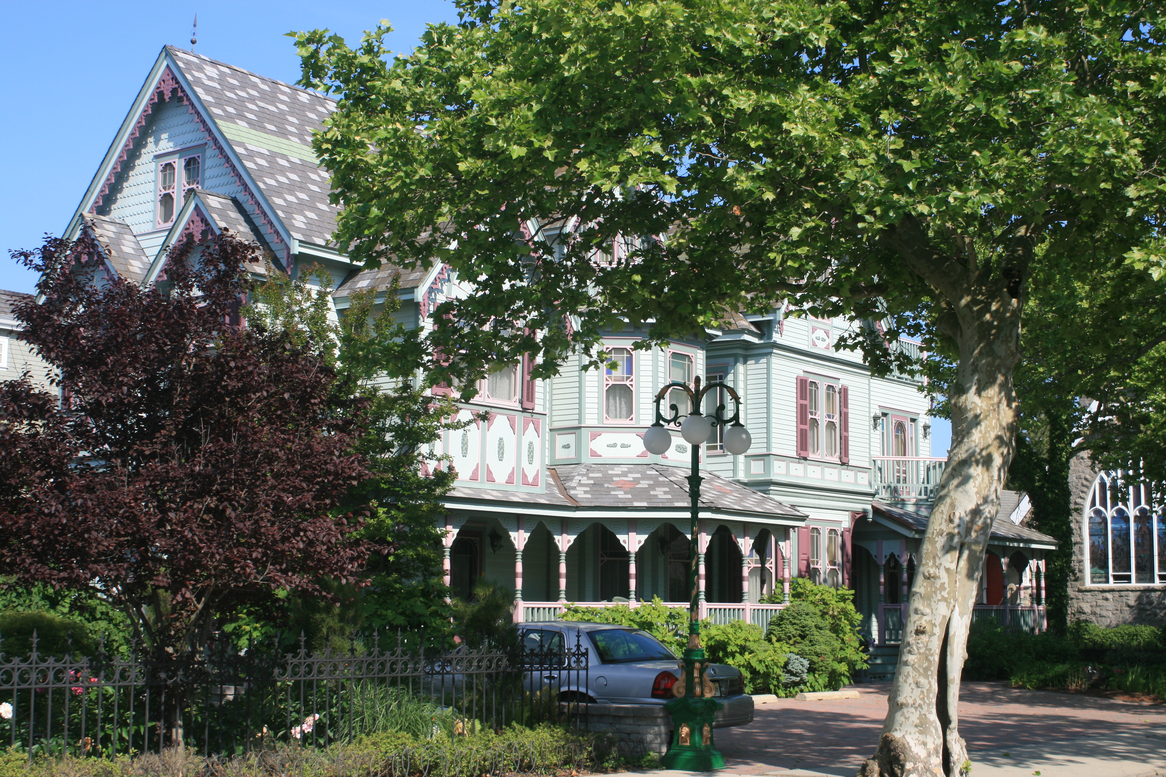
There are lots of lovely Victorian houses in Cape May.
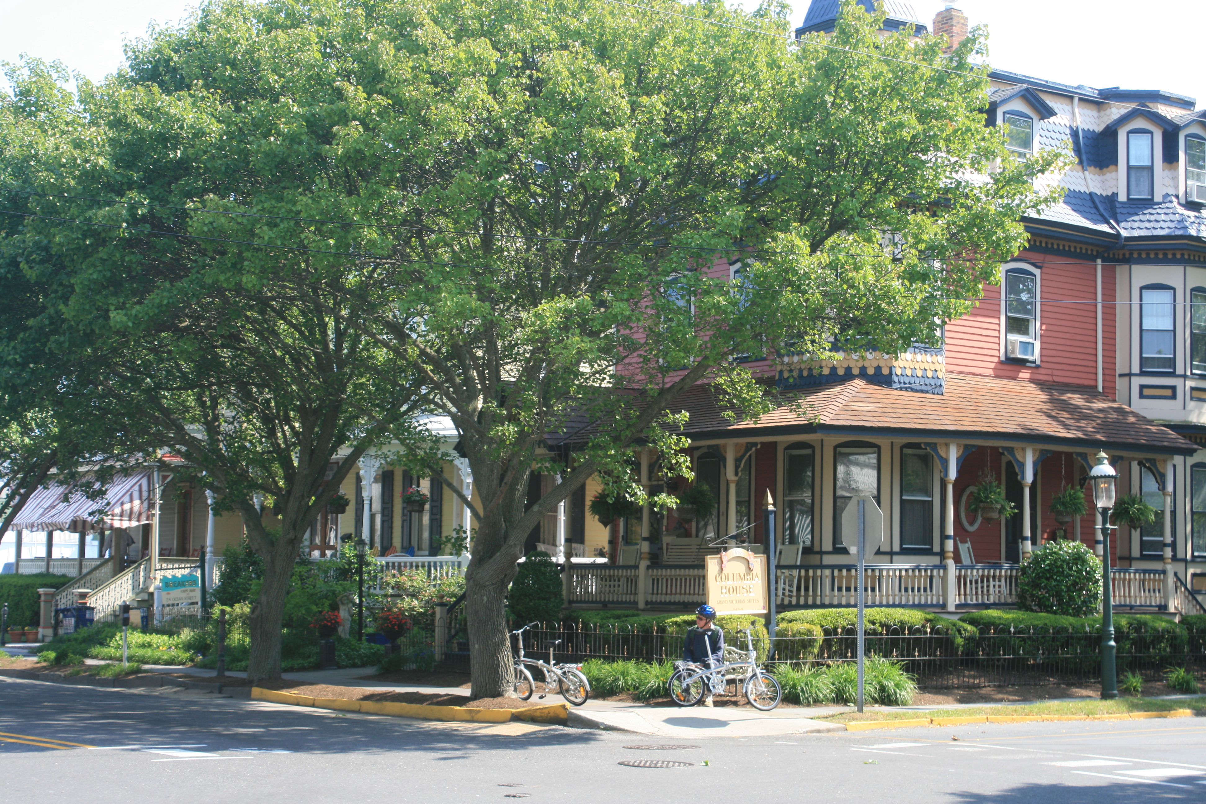
Ocean/Columbia St, Cape May
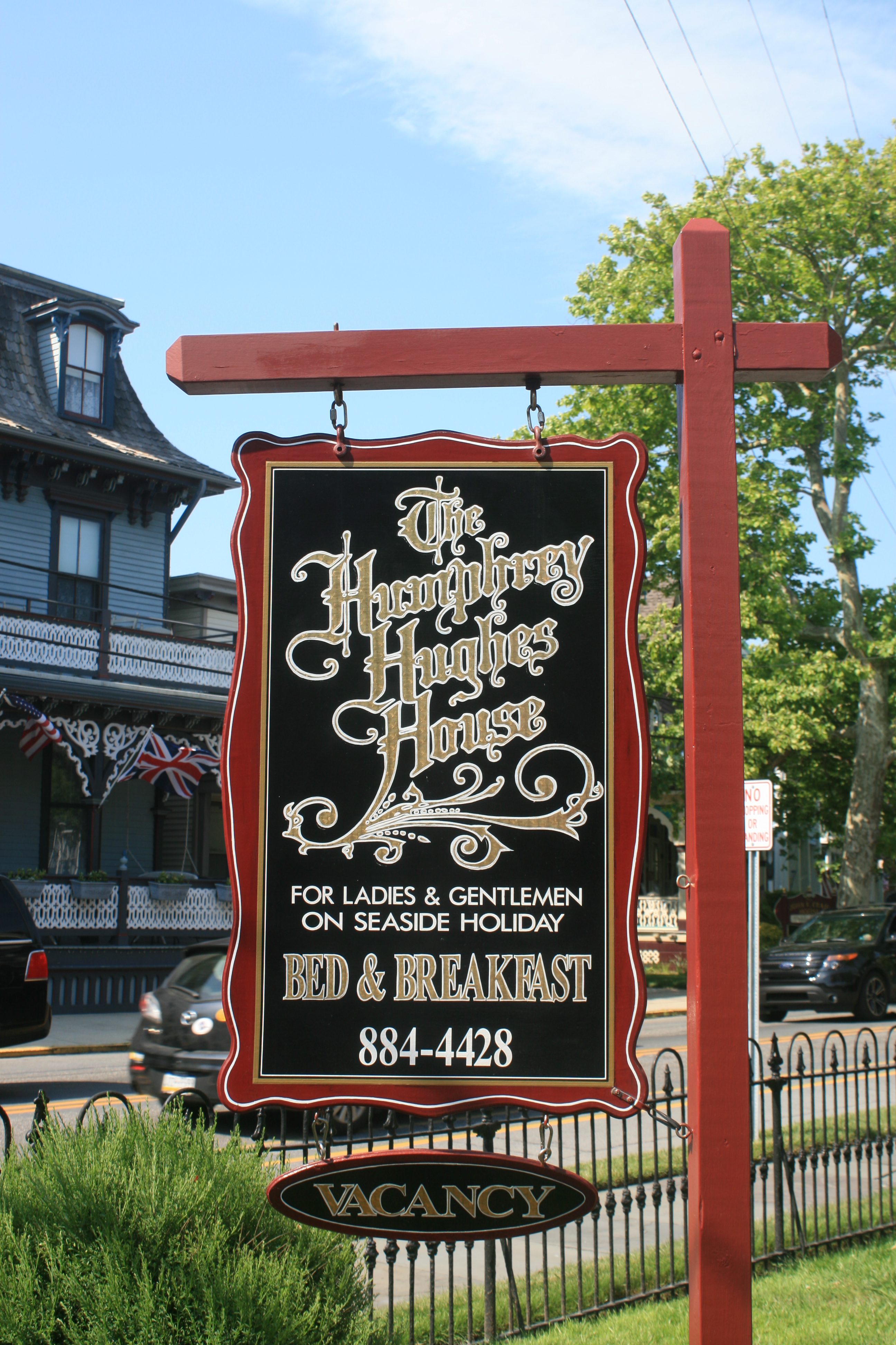
This particular small hotel seemed to hark back to a bygone era of gentility, not to say refinement.

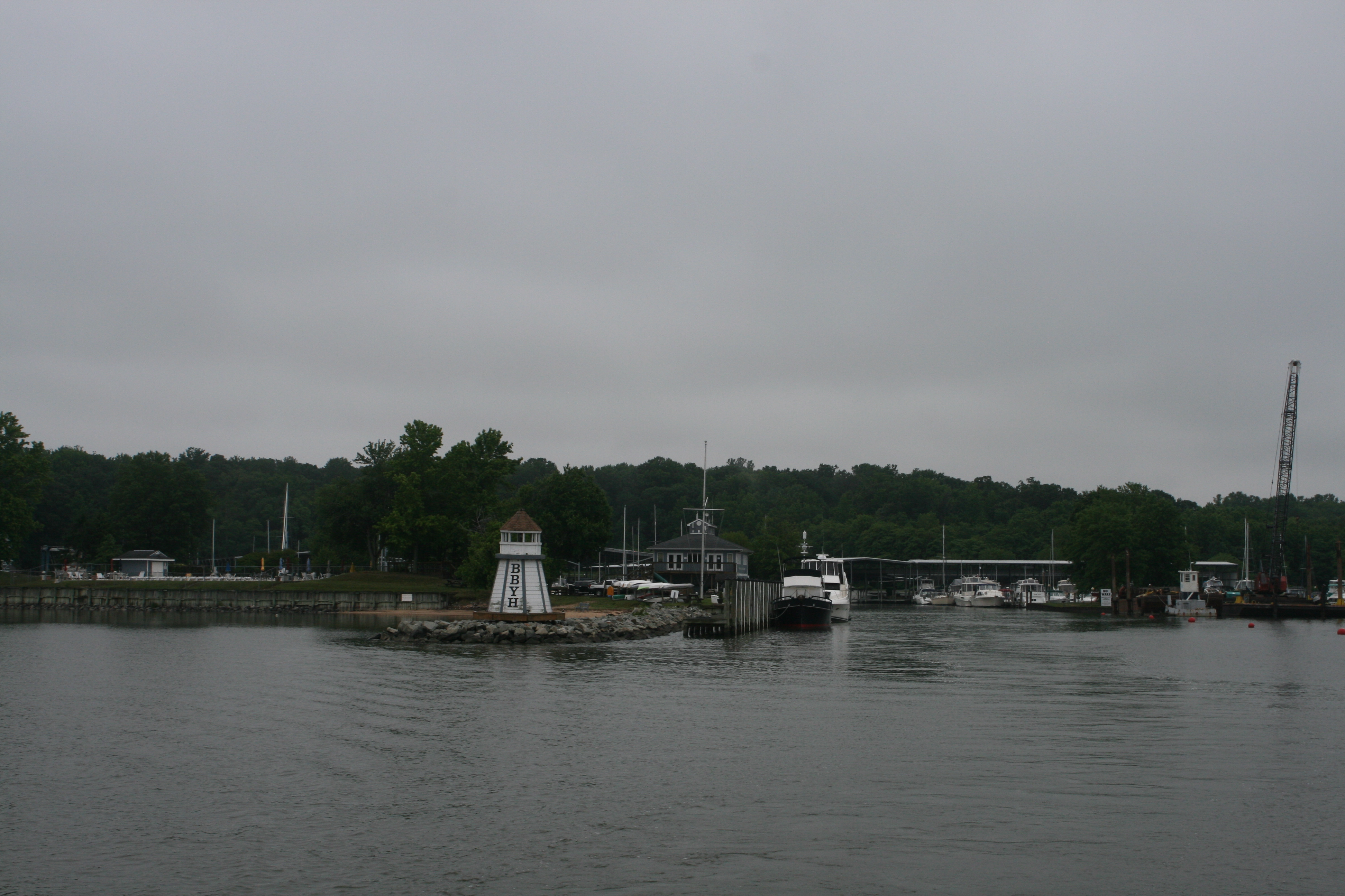
Because of the windy weather, we had three nights in the Miss Chris Marina, and never found out who Miss Chris actually was.
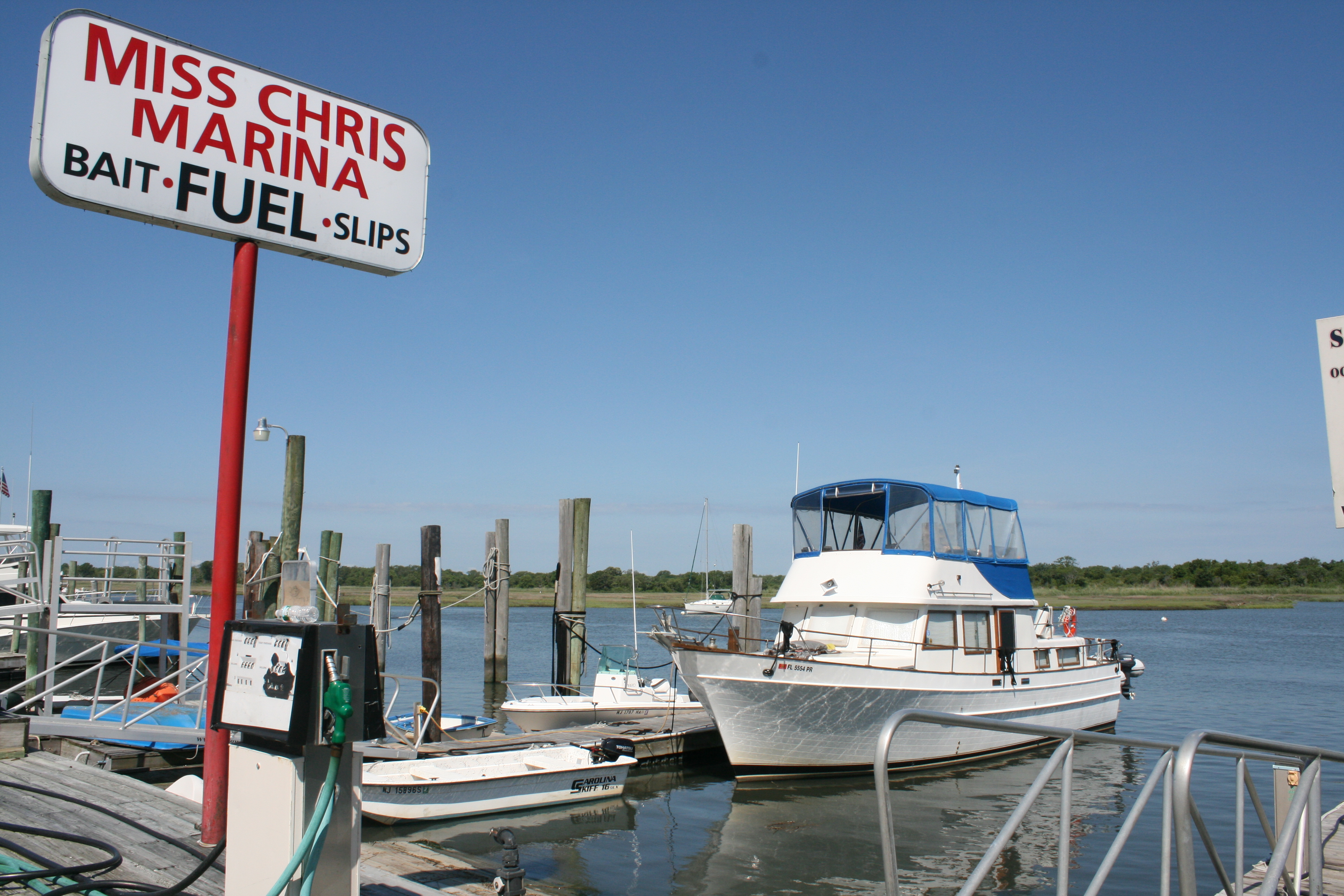
Carina at Miss Chris Marina
On the marina spectrum, Miss Chris is definitely at the man end. It has fuel, bait, fishing trips, but it has no showers and no laundry. There are whale trips too.
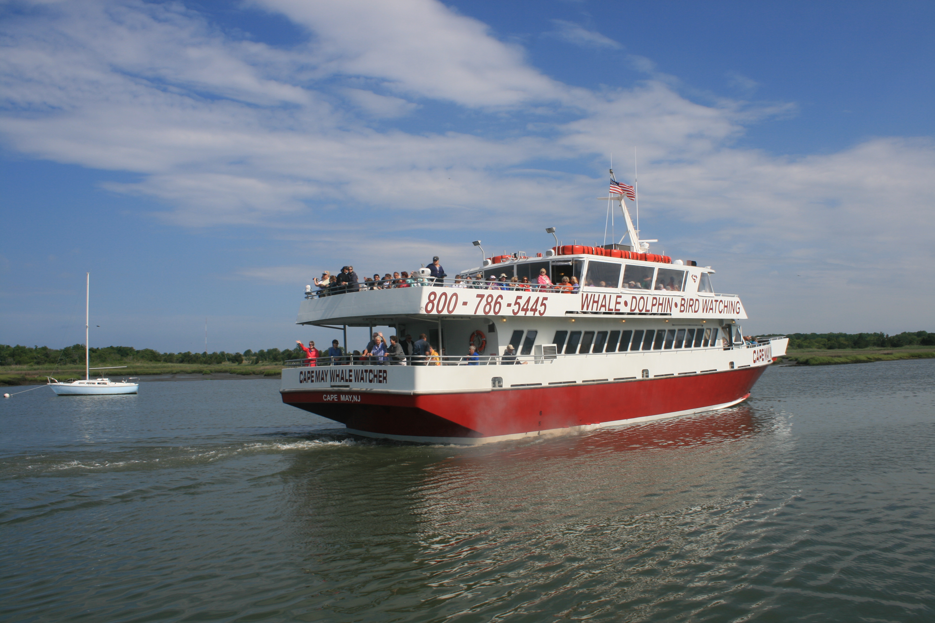
Whale trip leaving from next to Miss Chris Marina
We did see a nice sunset though, and had a very good meal at the nearby Lucky Bones Restaurant. The name of the restaurant was a reference to the charms that the fishermen would take out with them to protect against misfortune when they were at sea.
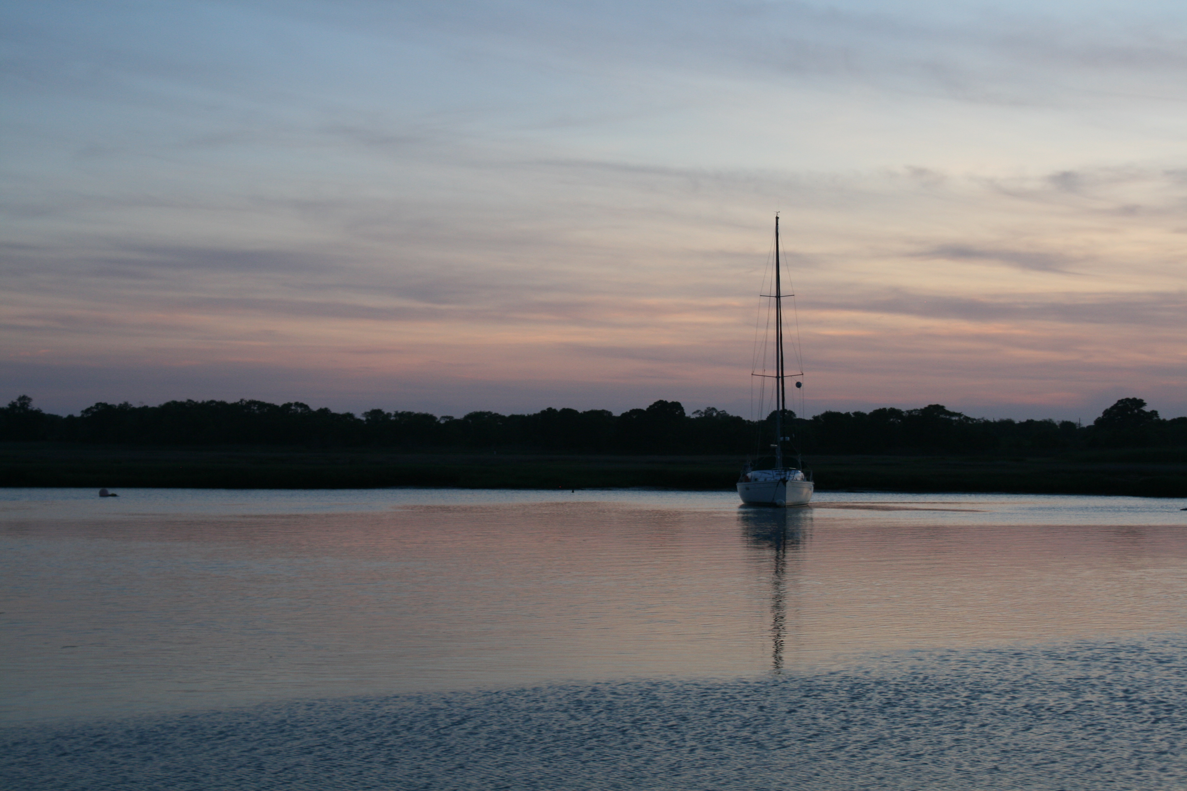
Sunset at Miss Chris Marina
Our journey up the New Jersey coast to Sandy Hook, which is the last stretch before we get to New York, takes us through a maze of barrier islands, sounds and inlets and the Captain was getting quite exercised about the navigational challenges, ie the possibility, and likelihood, of running aground on one of the many shoaling areas.
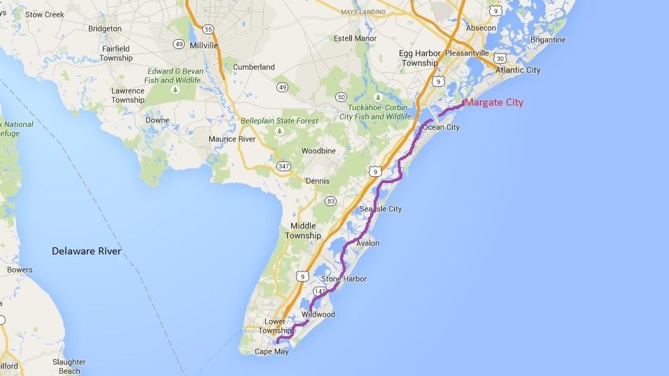
Cape May to Margate City
Crossing Richardson Sound

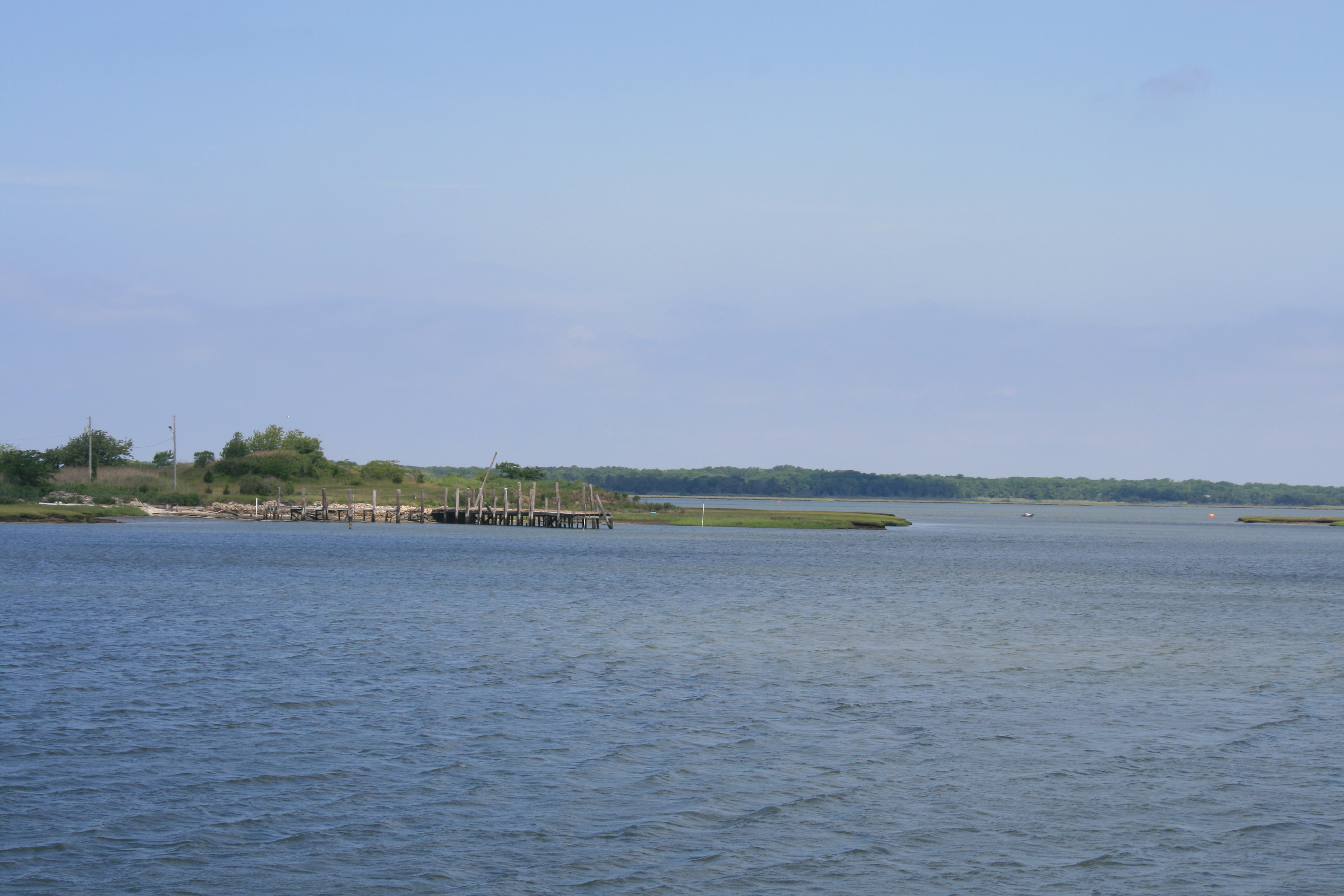
Shoaling near Stone Harbour
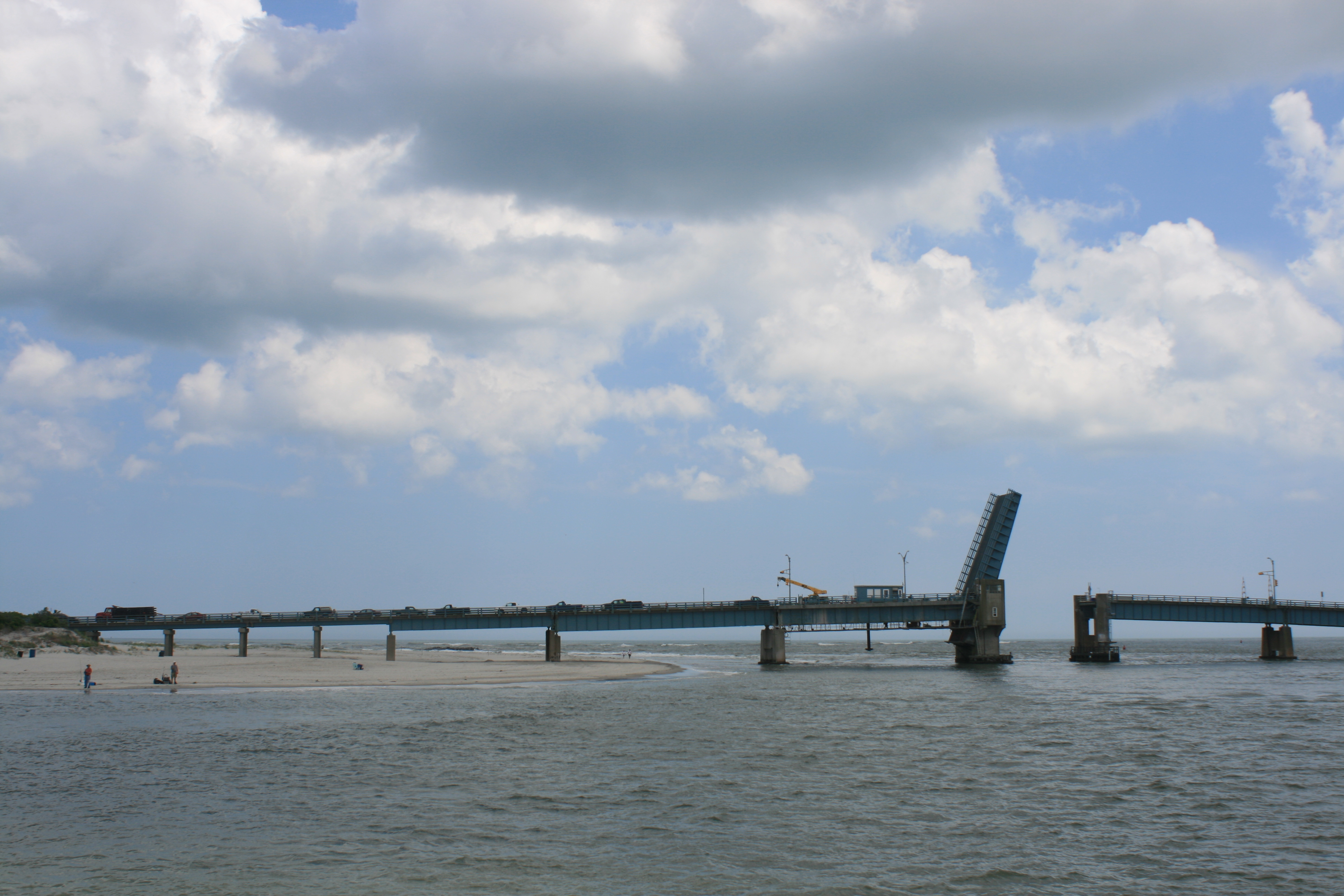
Townsend’s Inlet

Sea Isle City
But we had a smooth journey to Sea View Harbour Marina near Margate City.
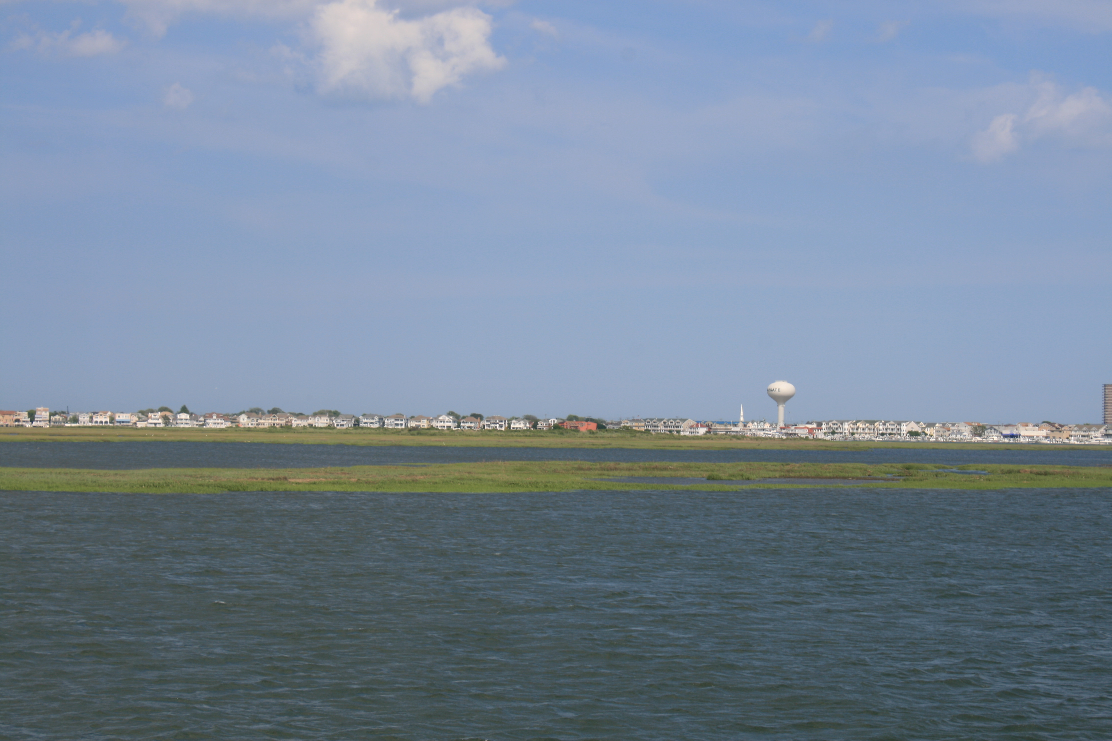
Margate City
The wind made docking tricky, but there were pretty flowerbeds, good shower rooms, a swimming pool, and I finally got the laundry done.